Chicamocha National Park

In northern Colombia, south of Bucaramanga (7°07’ N 73°07’ W), there is a Chicamocha National Park on a top of mountain ridge (6°47’24″ N 73°00’14″W). Inside the park there is also a teleférico on the other side of the Chicamocha canyon.

View from Panachi teleférico station (6°48’29″ N 73°02’54″W) on the western edge of Chicamocha canyon where there is a viewpoint.

View from Mirador del Chicamocha (6°49’14″ N 73°02’17″W) on Chicamocha canyon.

Valle de Cocora

Valle de Cocora (4°38’ N 75°29’ W) is a valley near cities of Pereira and Armenia in Colombia. It’s the main location where Quindío wax palm can be found. It attracts a lot of tourists.

Cueva del Esplendor

Cueva del Esplendor (5°38’24″ N 75°48’35″W) is a cave with a small waterfall inside; it’s located a few kilometers from Jardín (5°35’56″ N 75°49’08″W). But perhaps even better than the cave itself are the views on trails towards the cave. There are two trails, part of one of them you can go on a mototaxi from the city.

More or less 5°37’18″ N 75°49’42″W, shortly after depart from mototaxi, on the western trail, you need to go by foot the rest of the trail.

Cueva del Esplendor is on private ground and you need to pay to enter. Payment is made at the house, where two trails meet (5°38’33″ N 75°48’29″W) and from there is a short walk towards the cave. I was there shortly after 8:00 and I was alone. Next person arrived shortly after 9:00.

The second (eastern) trail has poor markings, I got lost two times and many times I were wondering which way I should go.

Around 5°37’38″ N 75°48’15″W.

Around 5°37’08″ N 75°48’41″W.

View on Jardín from viewpoint at Cerro Cristo Rey (5°36’17″ N 75°49’05″W).

Gozo

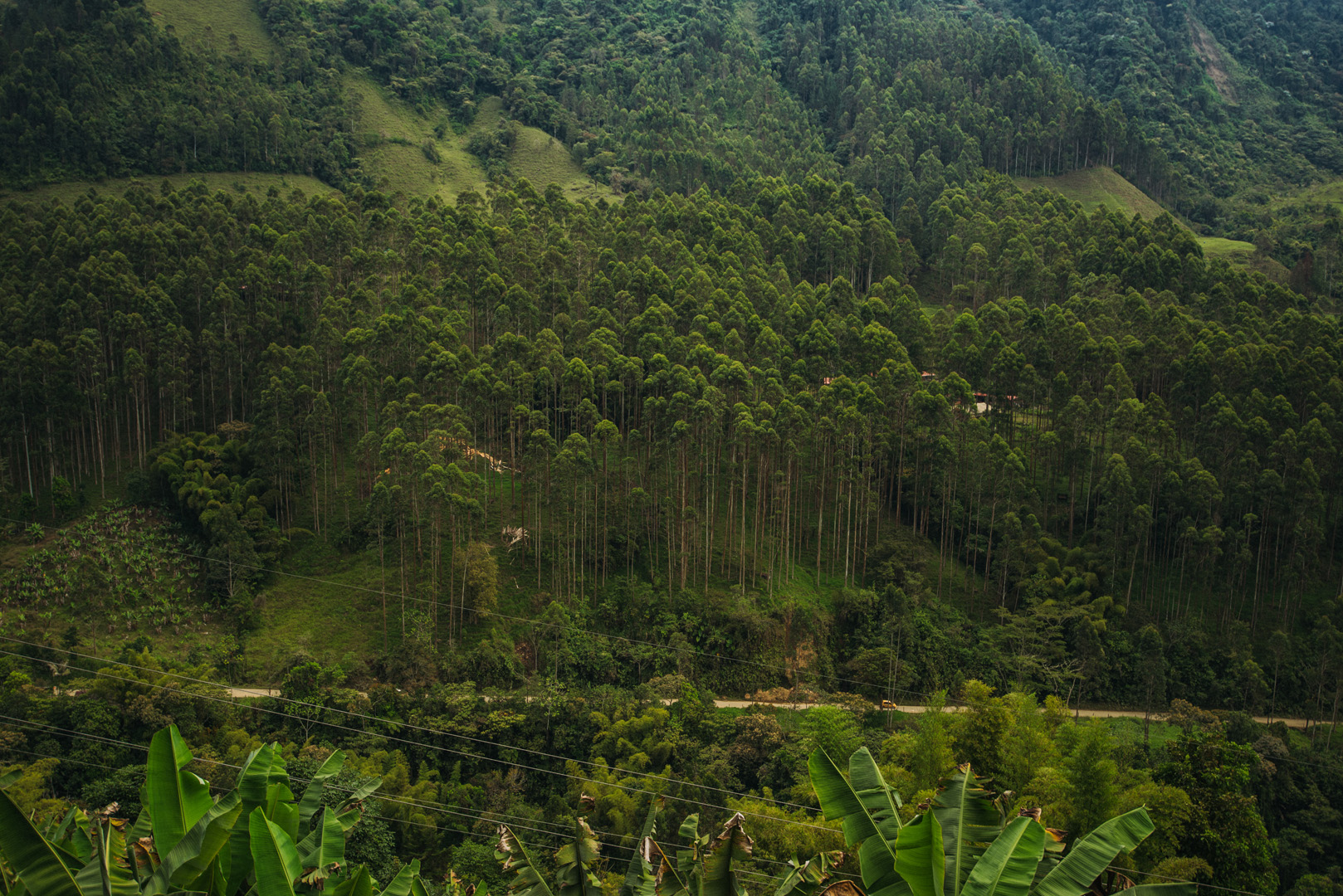
Gozo is the second biggest island on Malta, it has about 35 000 inhabitants.

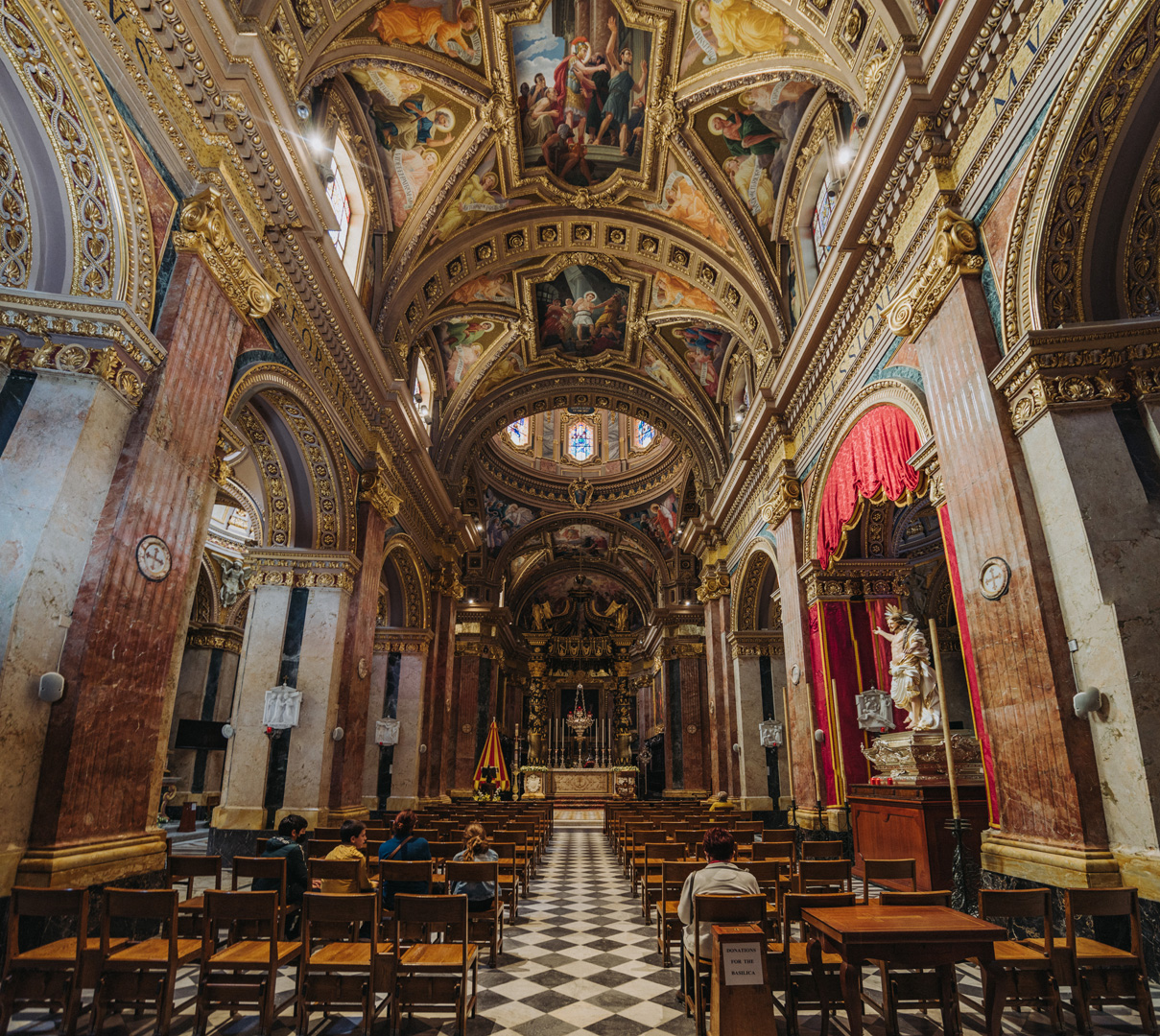
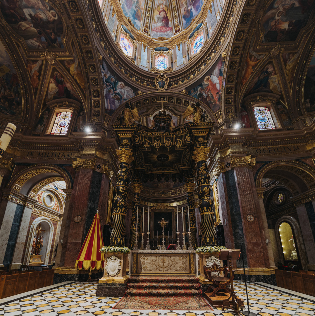
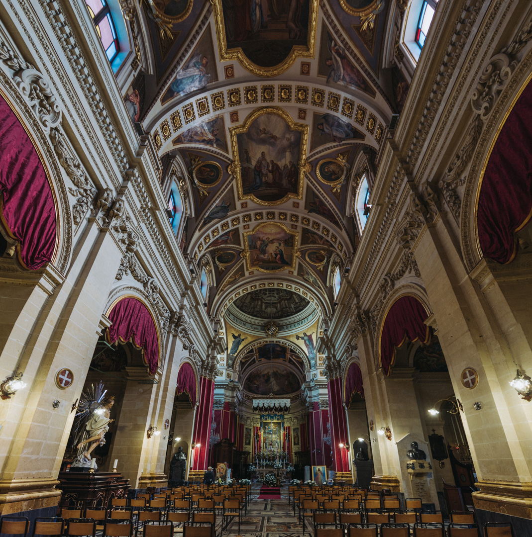
Basilica di San Giorgio (36°02’38″ N 14°14’21″E) in Victoria.

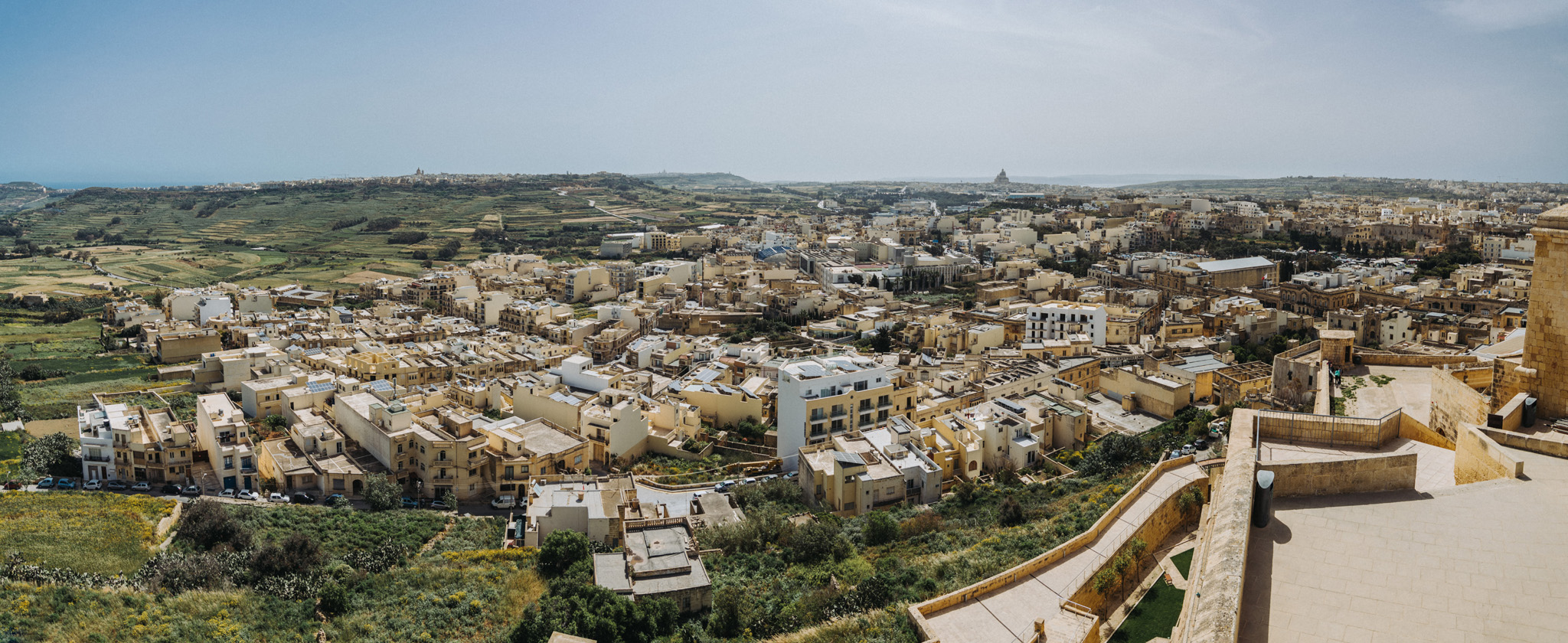
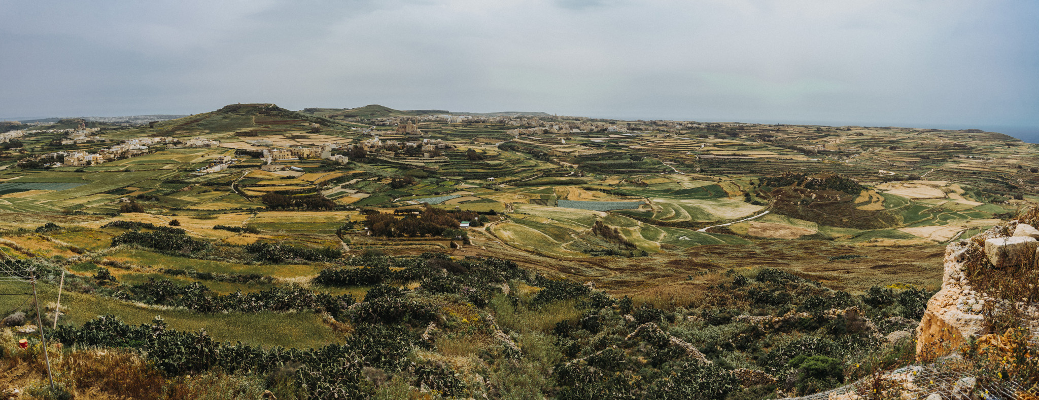
View from Citadella (36°02’47″ N 14°14’22″E) in Victoria.

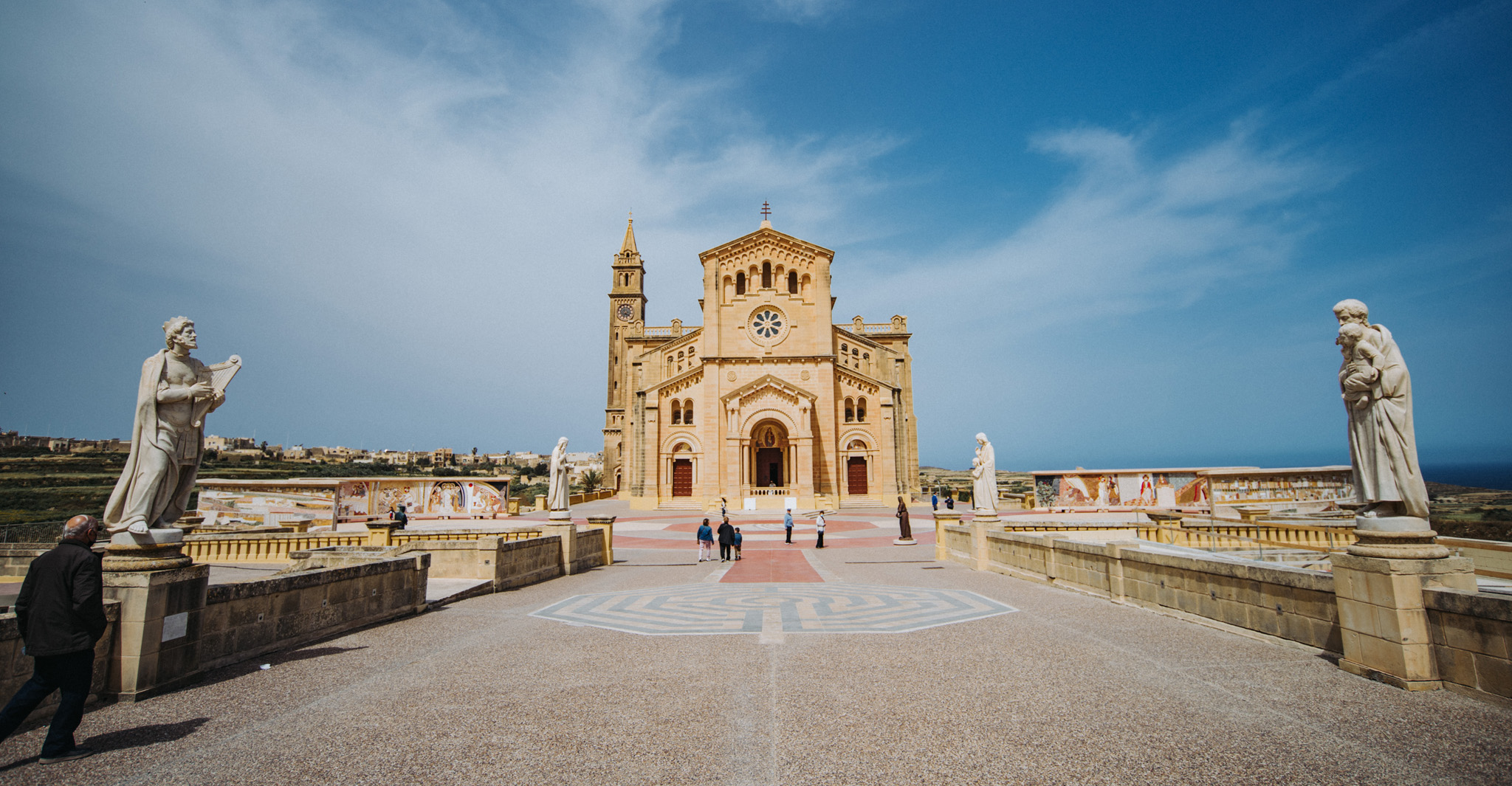
Ta’ Pinu Basilica (36°03’43″ N 14°12’54″E).

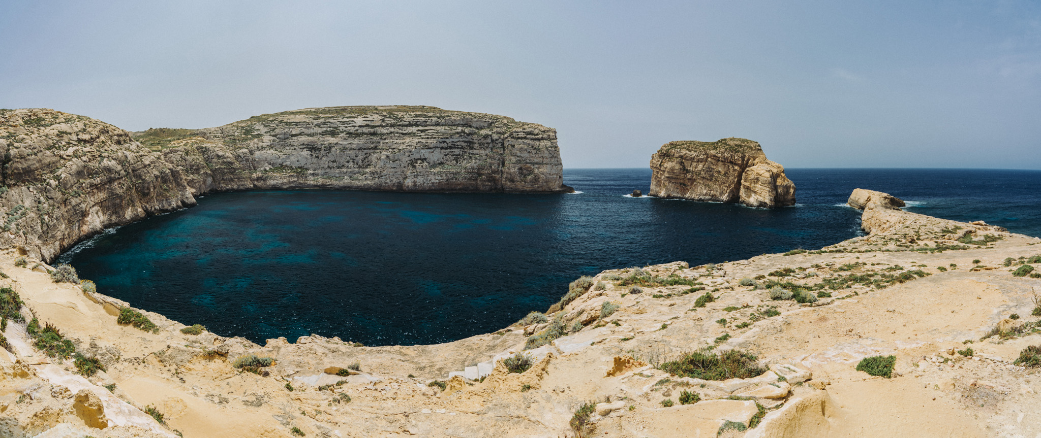
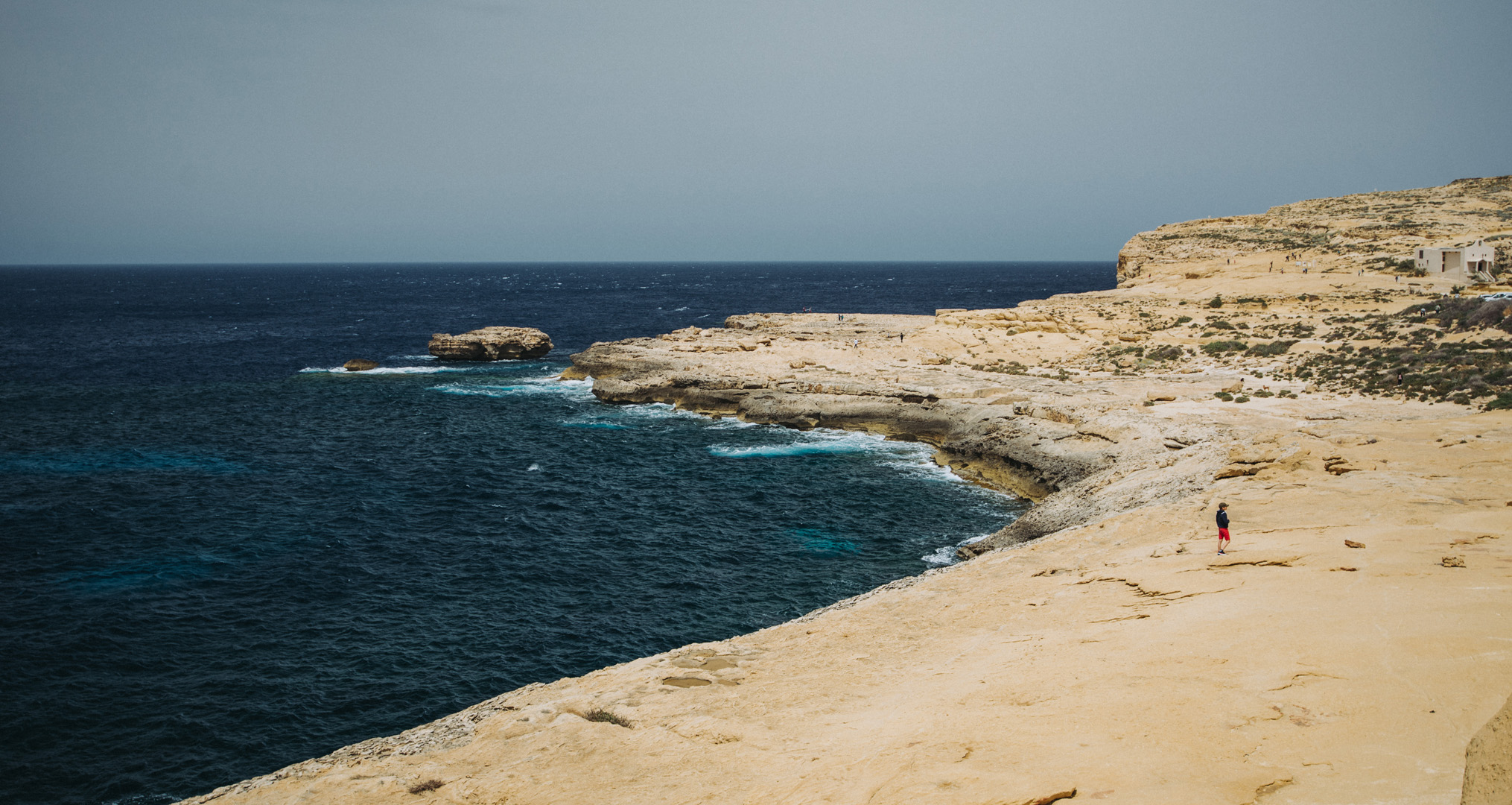
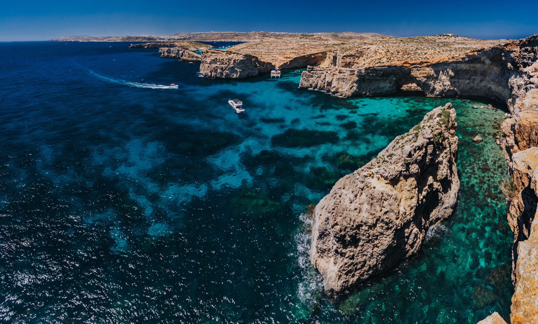
Dwejra Bay (36°02’49″ N 14°11’27″E) seen from around Dwejra tower (36°02’58″ N 14°11’31″E), the rock on the right side is called Fungus Rock (36°02’48″ N 14°11’20″E).

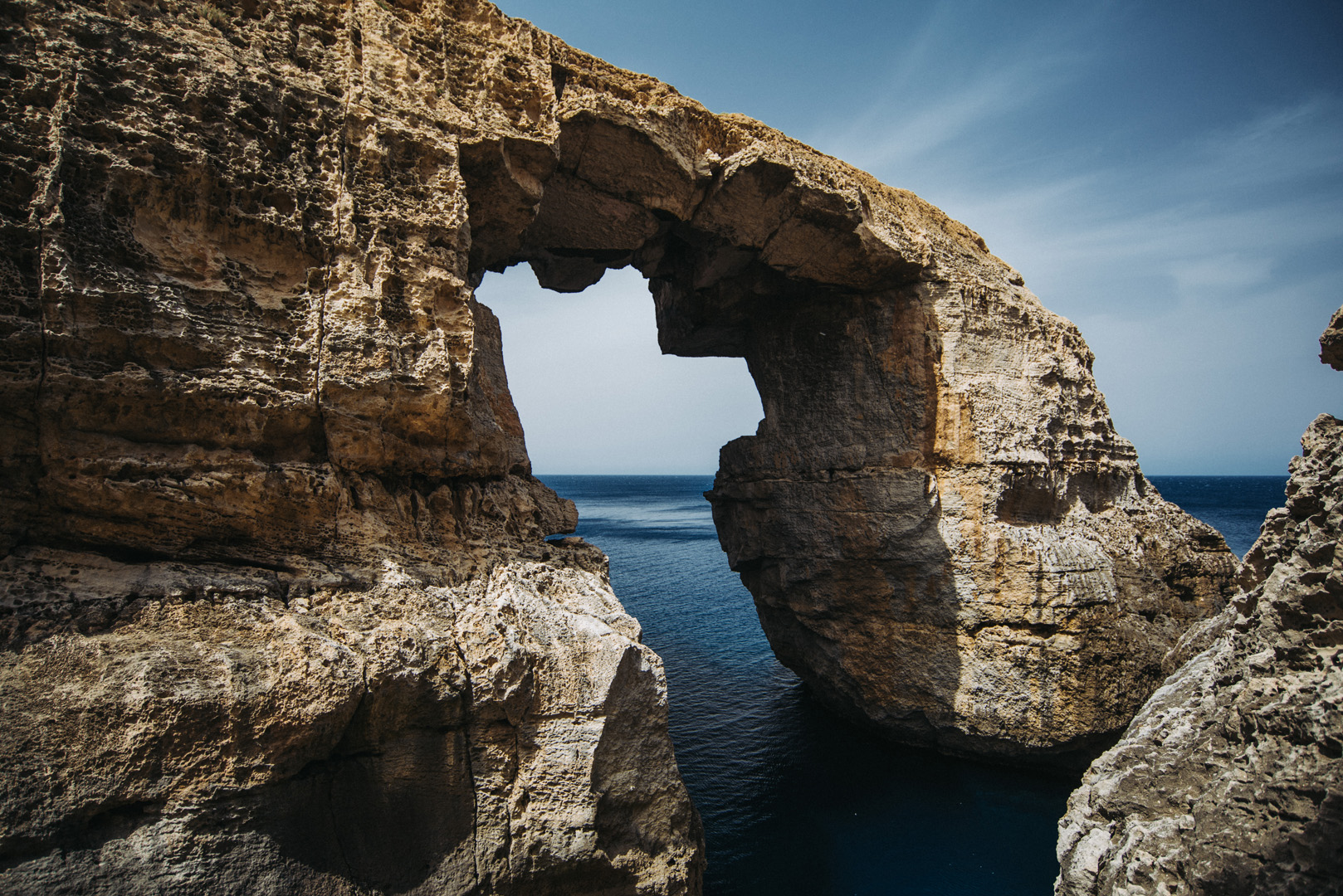
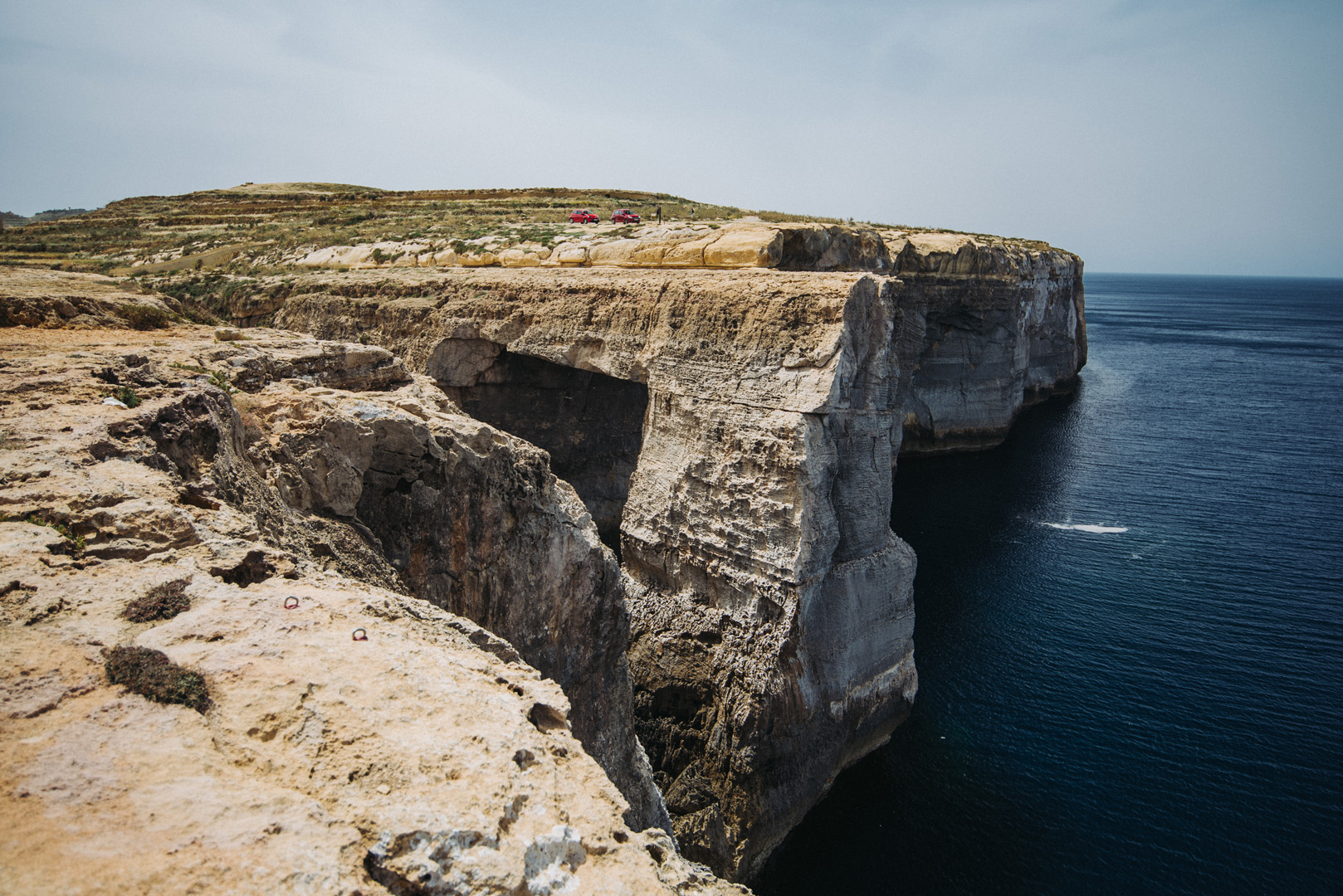
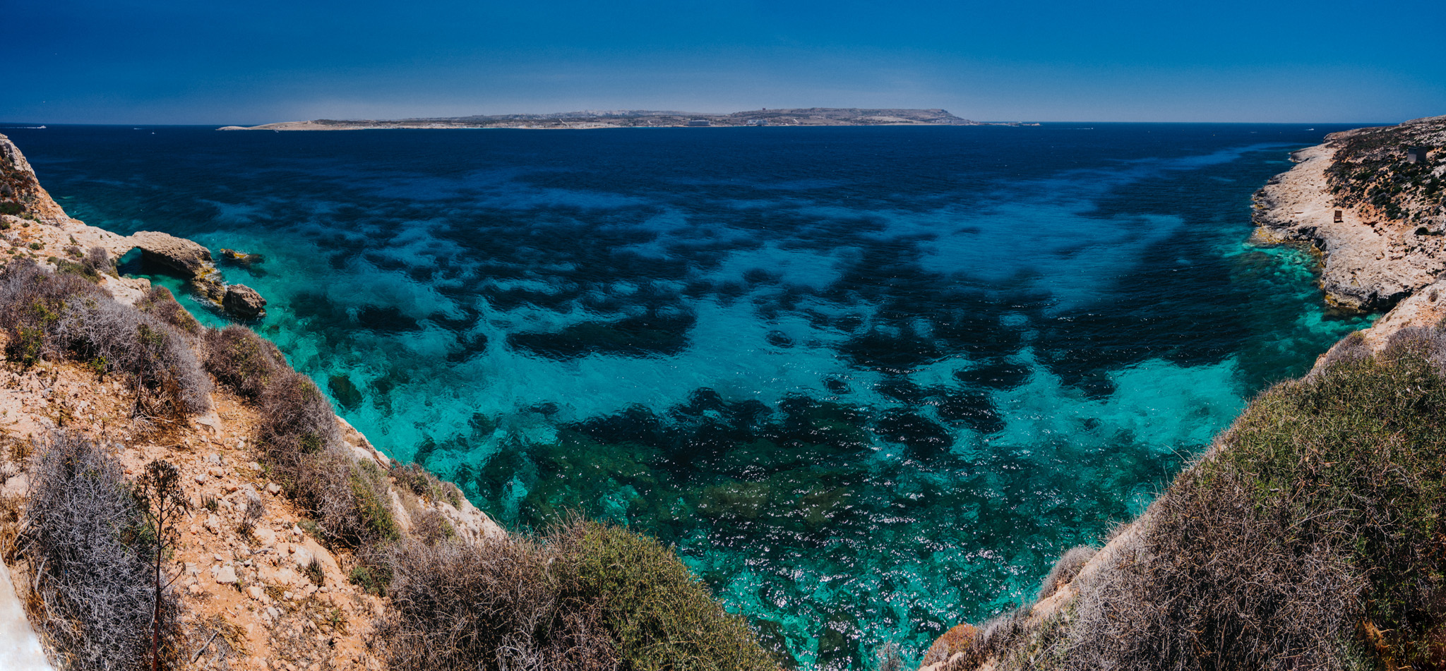
View from around Dwejra tower onto what was once Blue Hole.

Wied il-Mielaħ (36°04’46″ N 14°12’46″E).

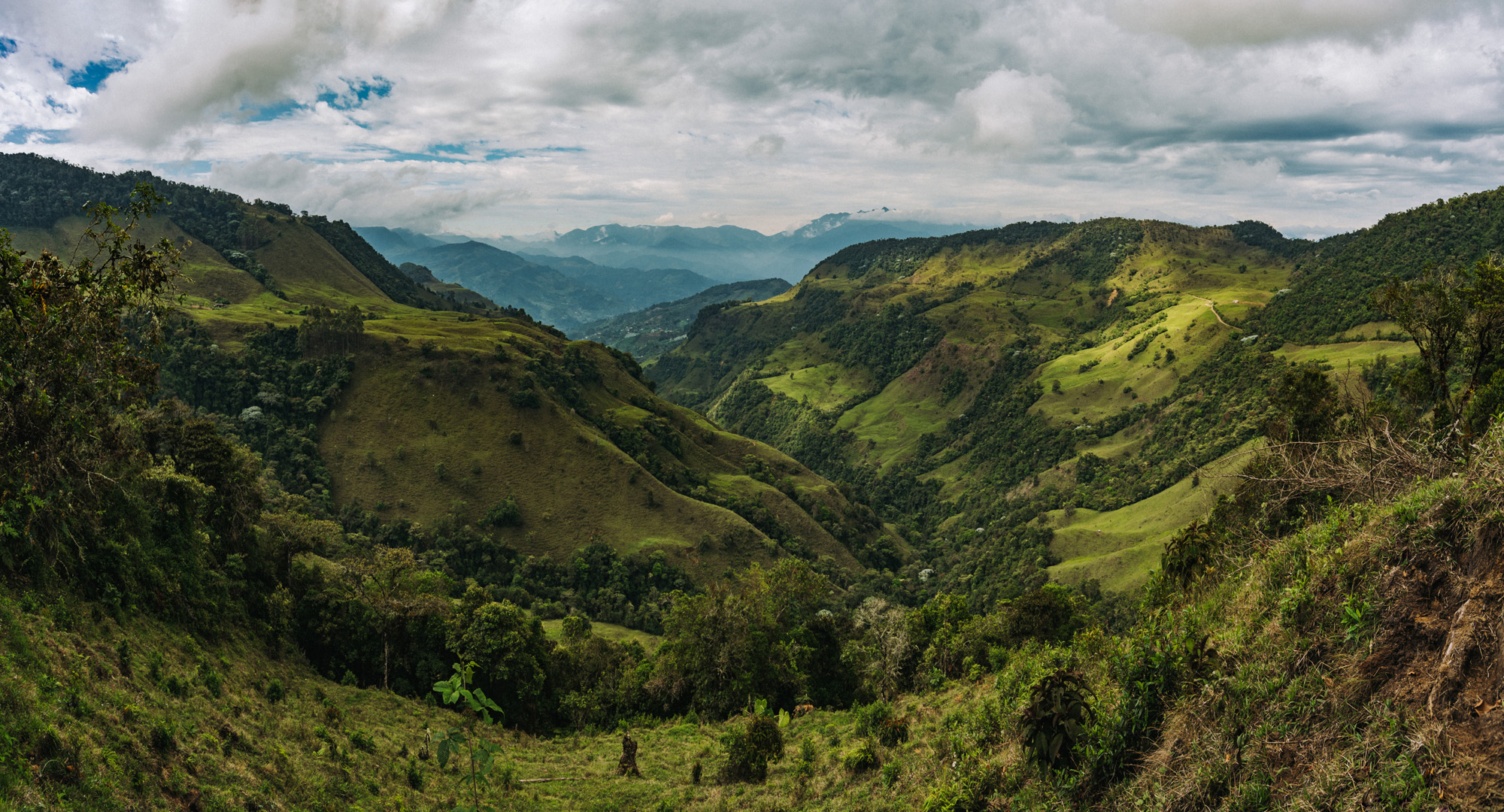
View from Giordan Lighthouse (36°04’20″ N 14°13’06″E) to the south. The highest hill on the picture (on the left side) is the Ta’ Għammar Hill (36°03’33″ N 14°13’12″E) and just on its right side there is visible Ta’ Pinu Basilica.

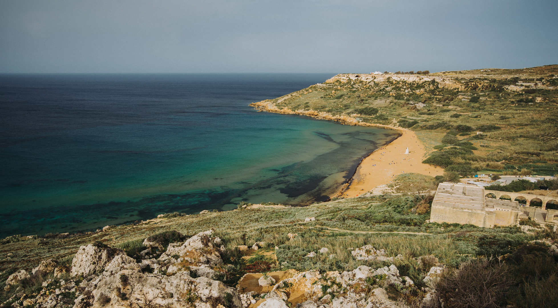
View onto Ramla Bay (36°03’41″ N 14°17’03″E) from viewpoint near Calypso Cave (36°03’38″ N 14°16’46″E).

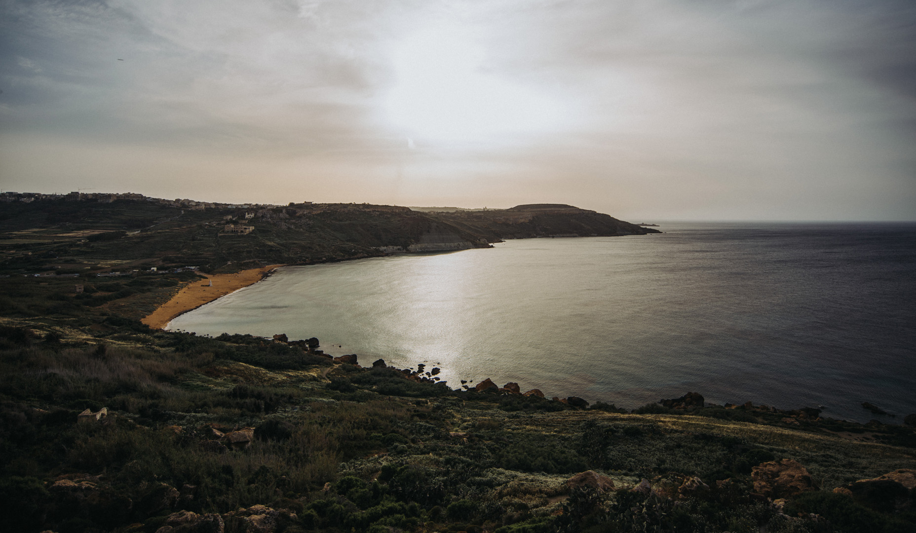
View onto Ramla Bay from Tal-Mixta Cave (36°03’48″ N 14°17’22″E).

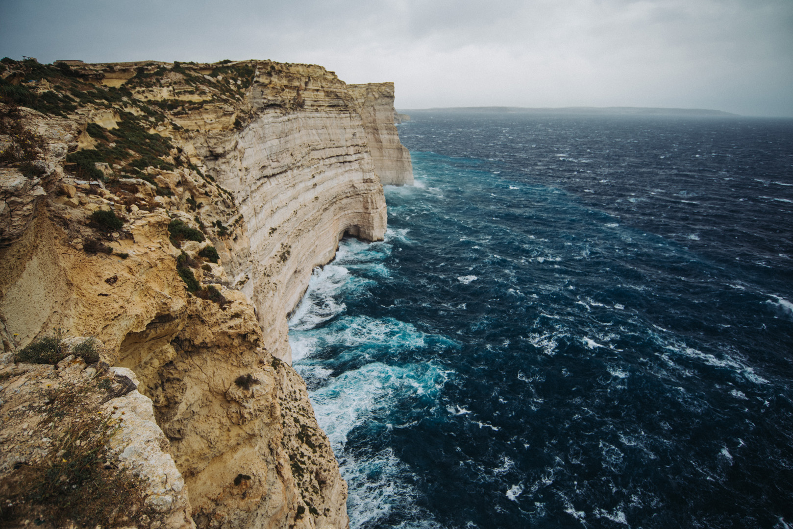
Sanap Cliffs Sunset (36°01’15″ N 14°13’21″E).

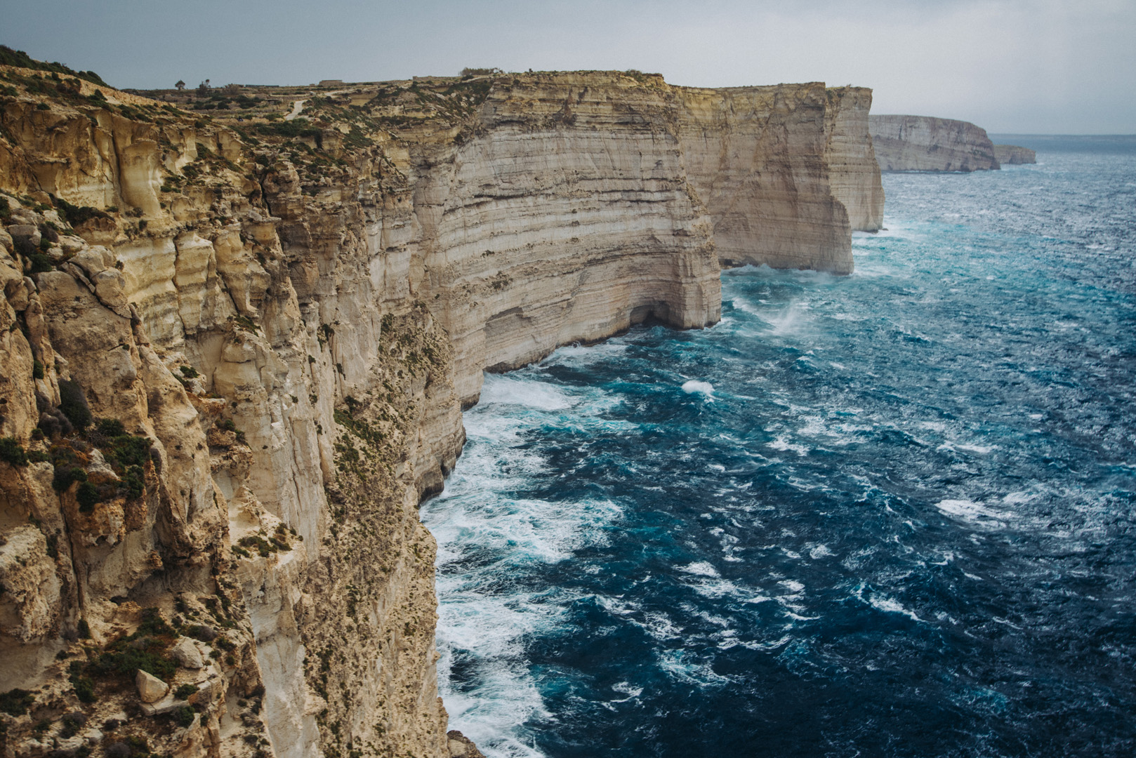
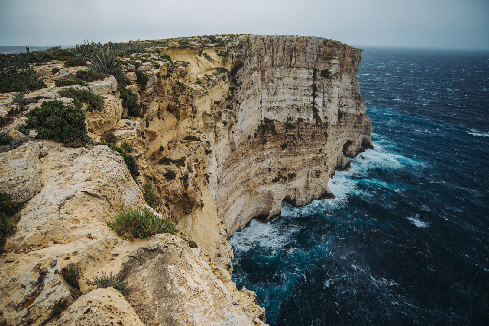
Ta’ Ċenċ cliffs (36°01’05″ N 14°15’09″E).

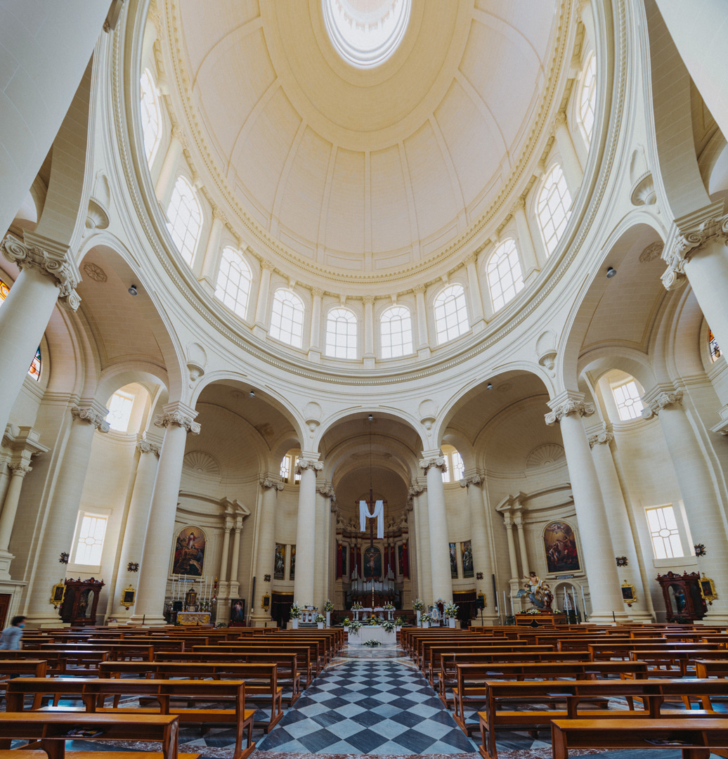
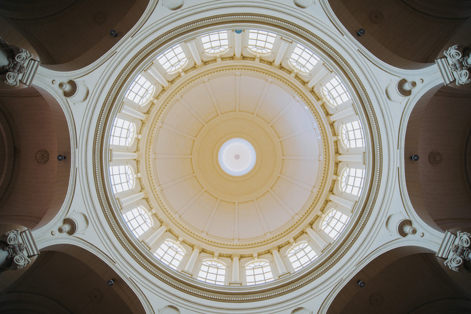
Rotunda of Xewkija (36°01’54″ N 14°15’40″E).

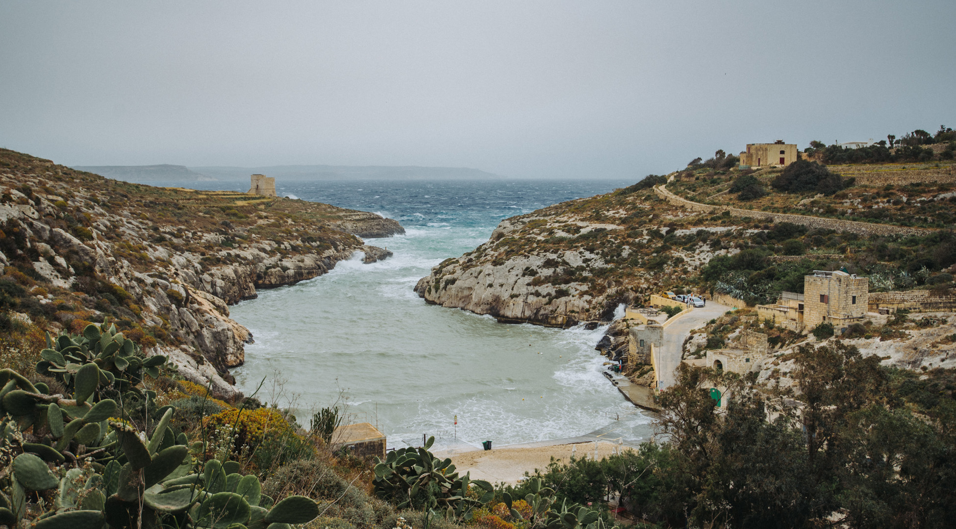
Mġarr ix-Xini beach and bay (36°01’13″ N 14°16’16″E).

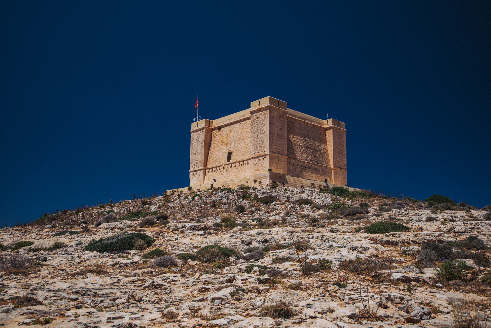
View on Mġarr ix-Xini bay from Mġarr ix-Xini Tower (36°01’02″ N 14°16’28″E).

View on San Filip Beach (36°03’00″ N 14°18’52″E).

Comino

Comino (36°00’40″ N 14°20’10″E) is the third biggest Malta’s island, but not inhabited.

View on Blue Lagoon (light blue on the right, 36°00’51″ N 14°19’23″E) from Saint Mary’s Tower (36°00’25″ N 14°19’47″E).

Crystal Lagoon (36°00’37″ N 14°19’42″E).

Saint Mary’s Tower (36°00’25″ N 14°19’47″E).

View from nearby of Santa Maria Gun Battery (36°00’24″ N 14°20’46″E) on Malta main island.