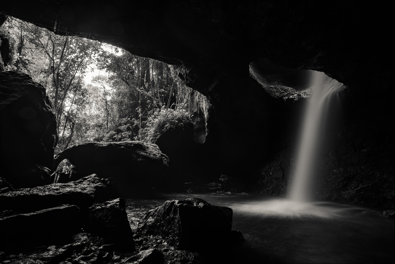
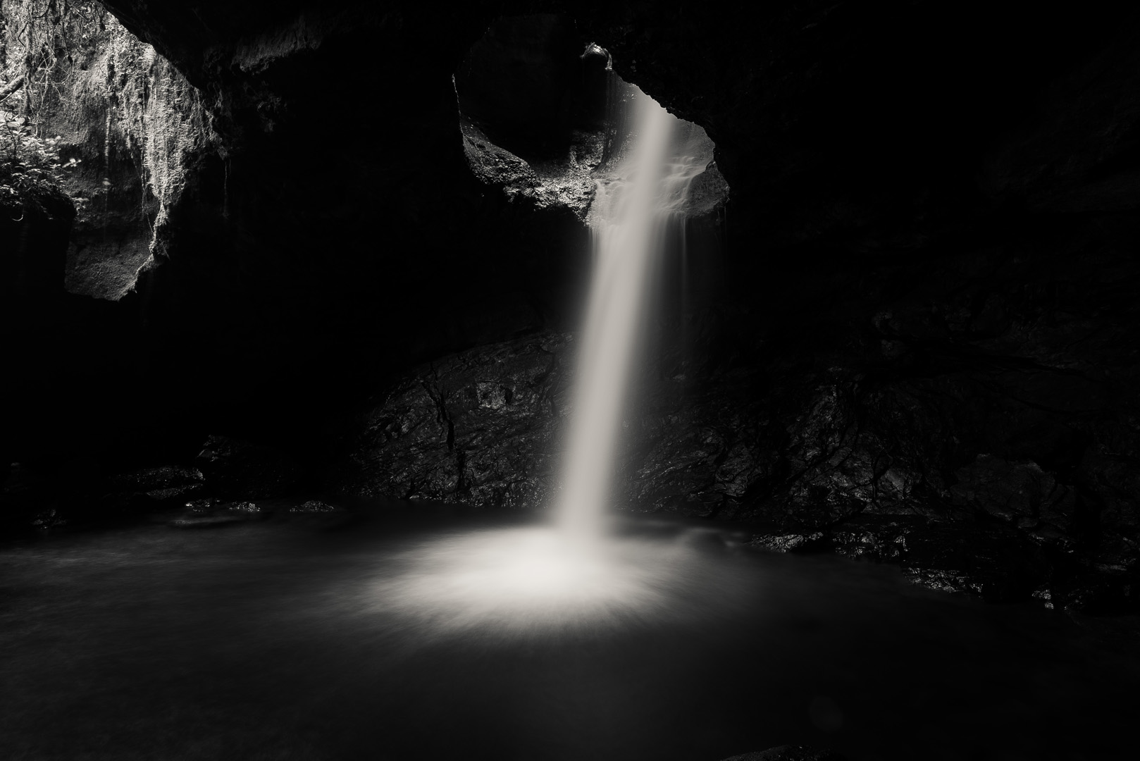
Cueva del Esplendor (5°38’24″ N 75°48’35″W) is a cave with a small waterfall inside; it’s located a few kilometers from Jardín (5°35’56″ N 75°49’08″W). But perhaps even better than the cave itself are the views on trails towards the cave. There are two trails, part of one of them you can go on a mototaxi from the city.
More or less 5°37’18″ N 75°49’42″W, shortly after depart from mototaxi, on the western trail, you need to go by foot the rest of the trail.
Cueva del Esplendor is on private ground and you need to pay to enter. Payment is made at the house, where two trails meet (5°38’33″ N 75°48’29″W) and from there is a short walk towards the cave. I was there shortly after 8:00 and I was alone. Next person arrived shortly after 9:00.
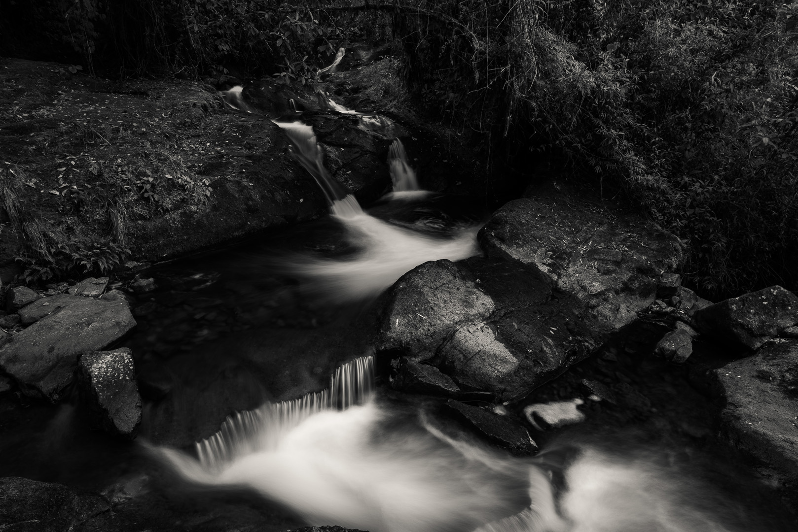
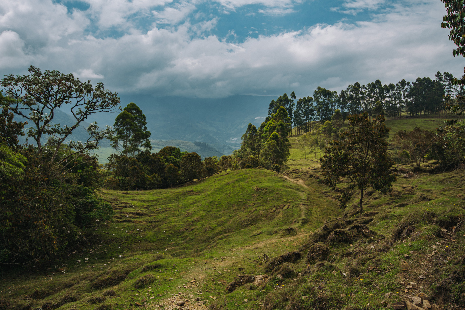
The second (eastern) trail has poor markings, I got lost two times and many times I were wondering which way I should go.
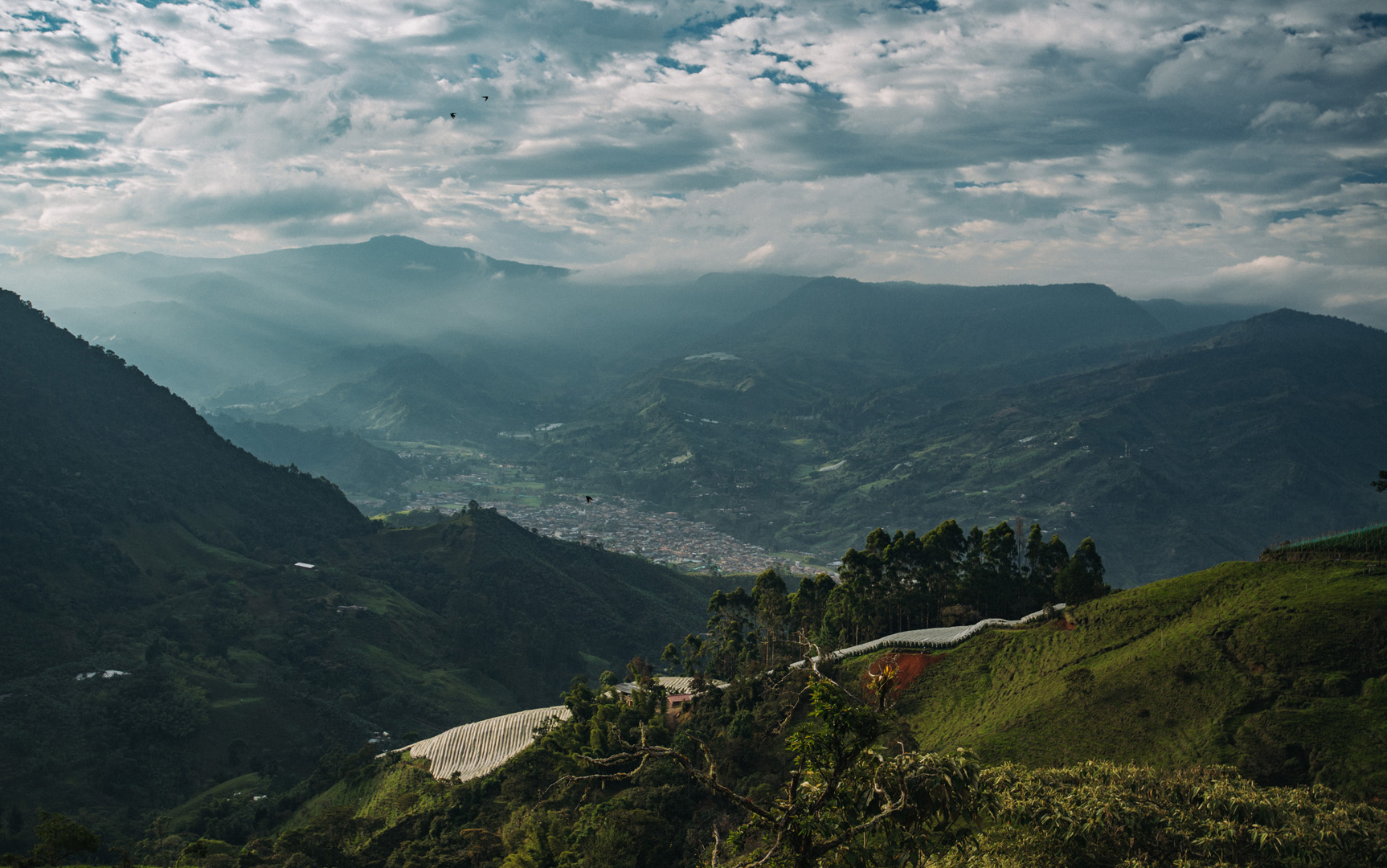
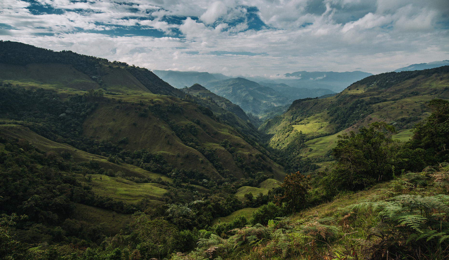
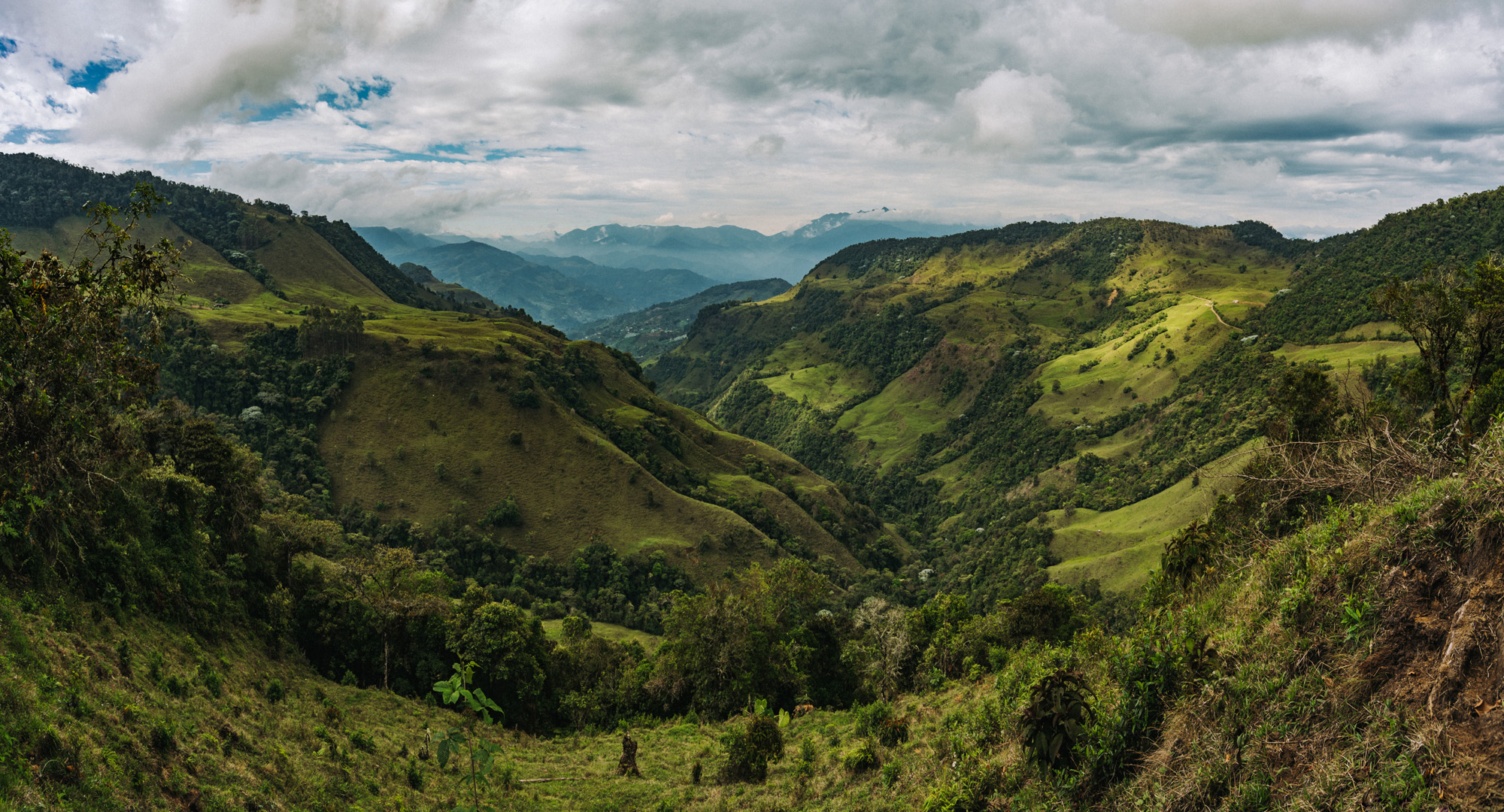
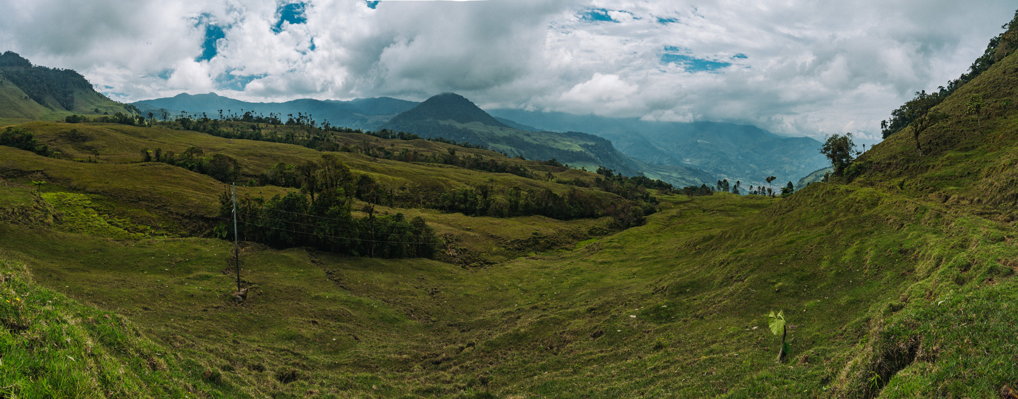
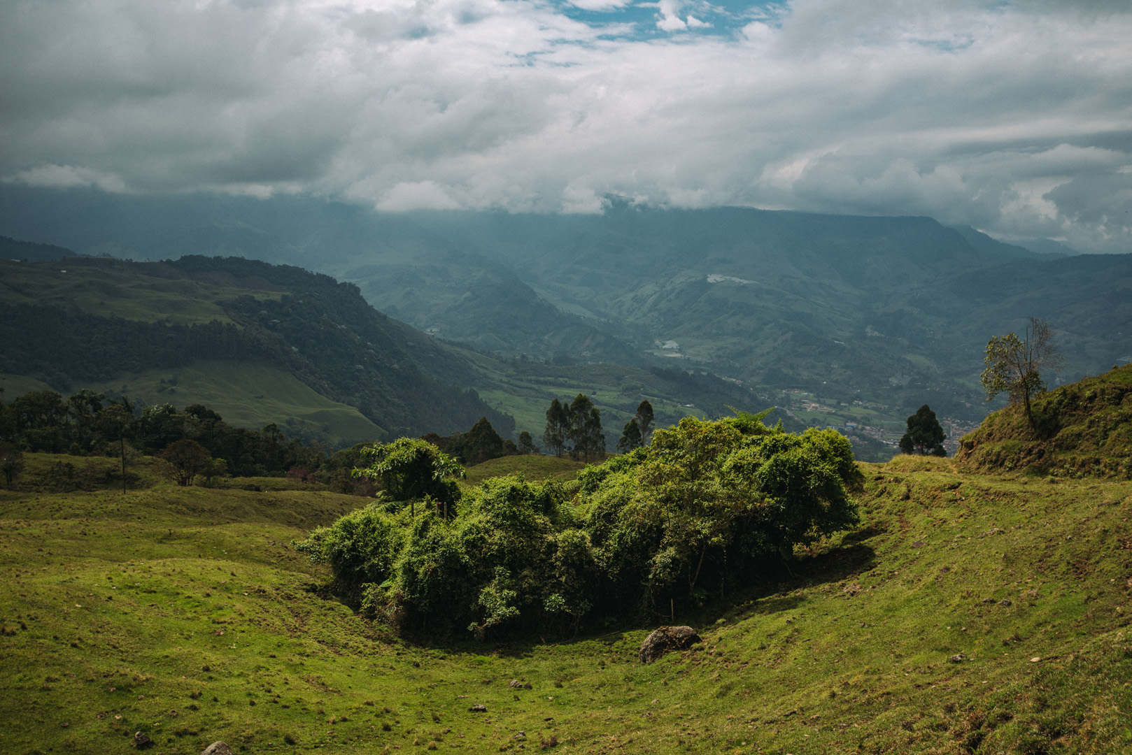
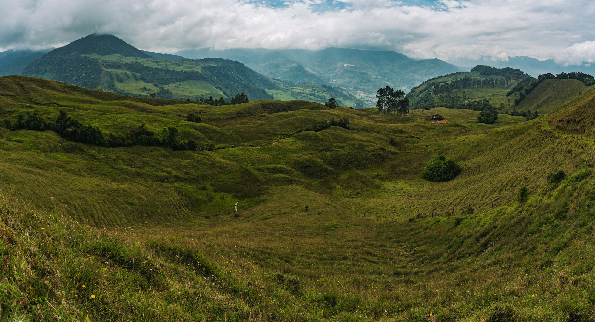
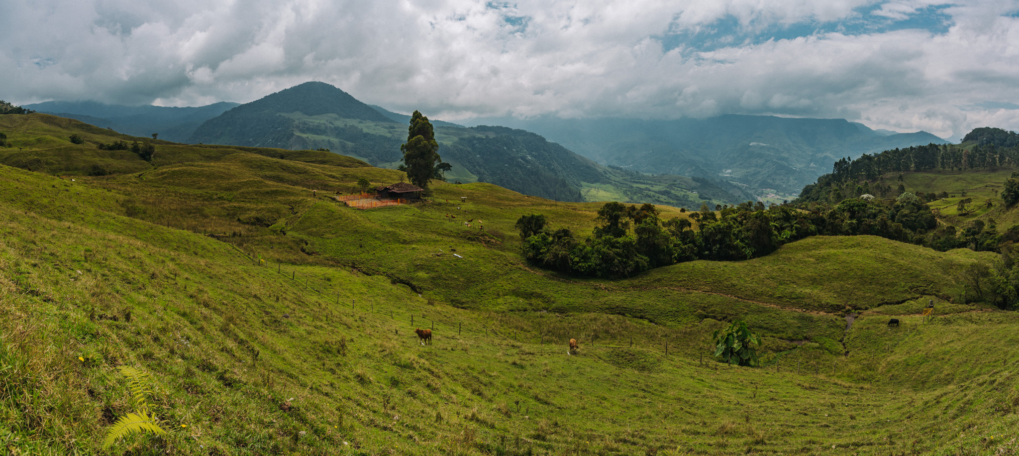
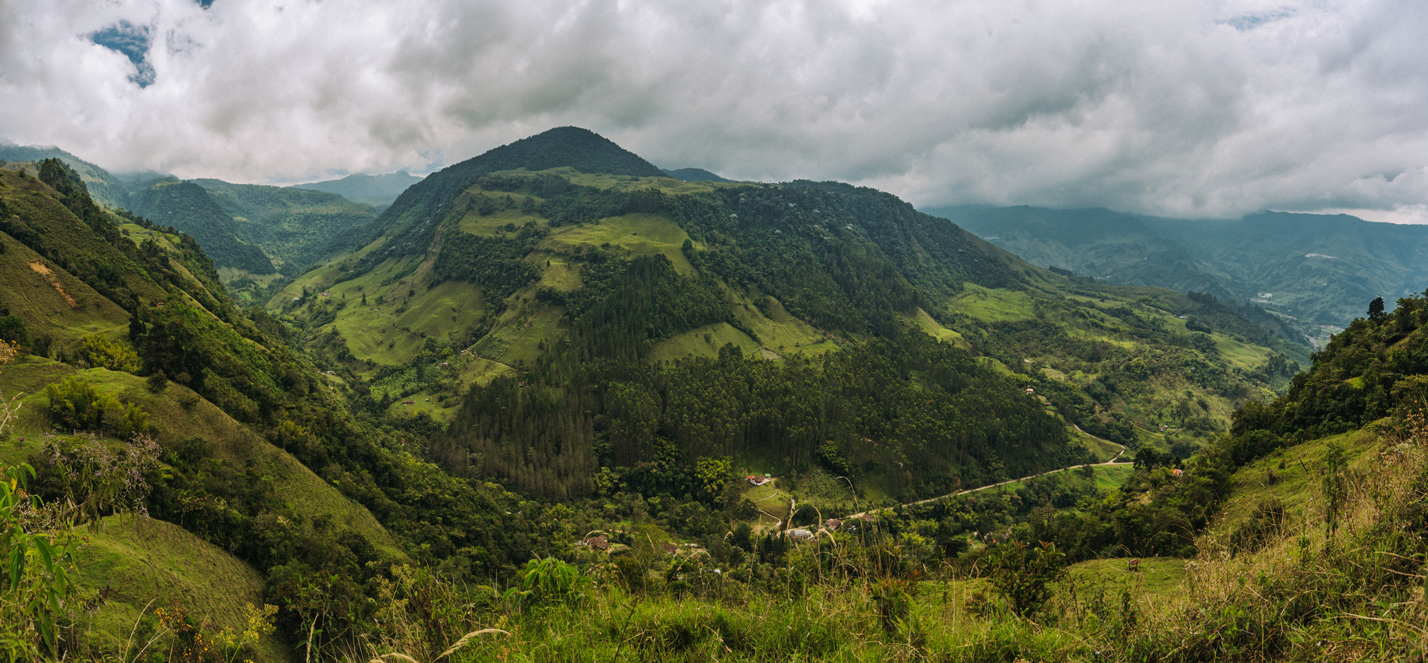
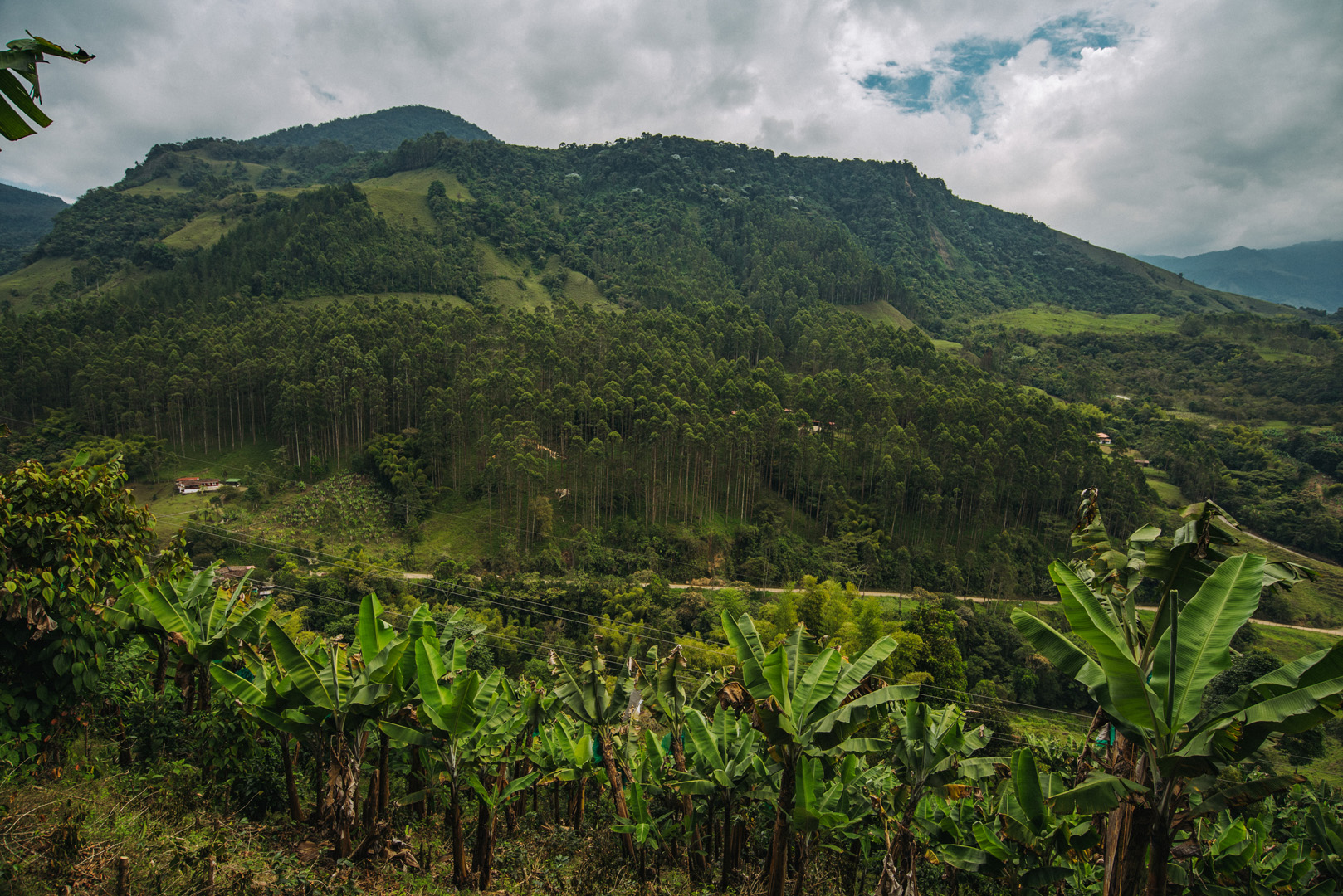
Around 5°37’38″ N 75°48’15″W.
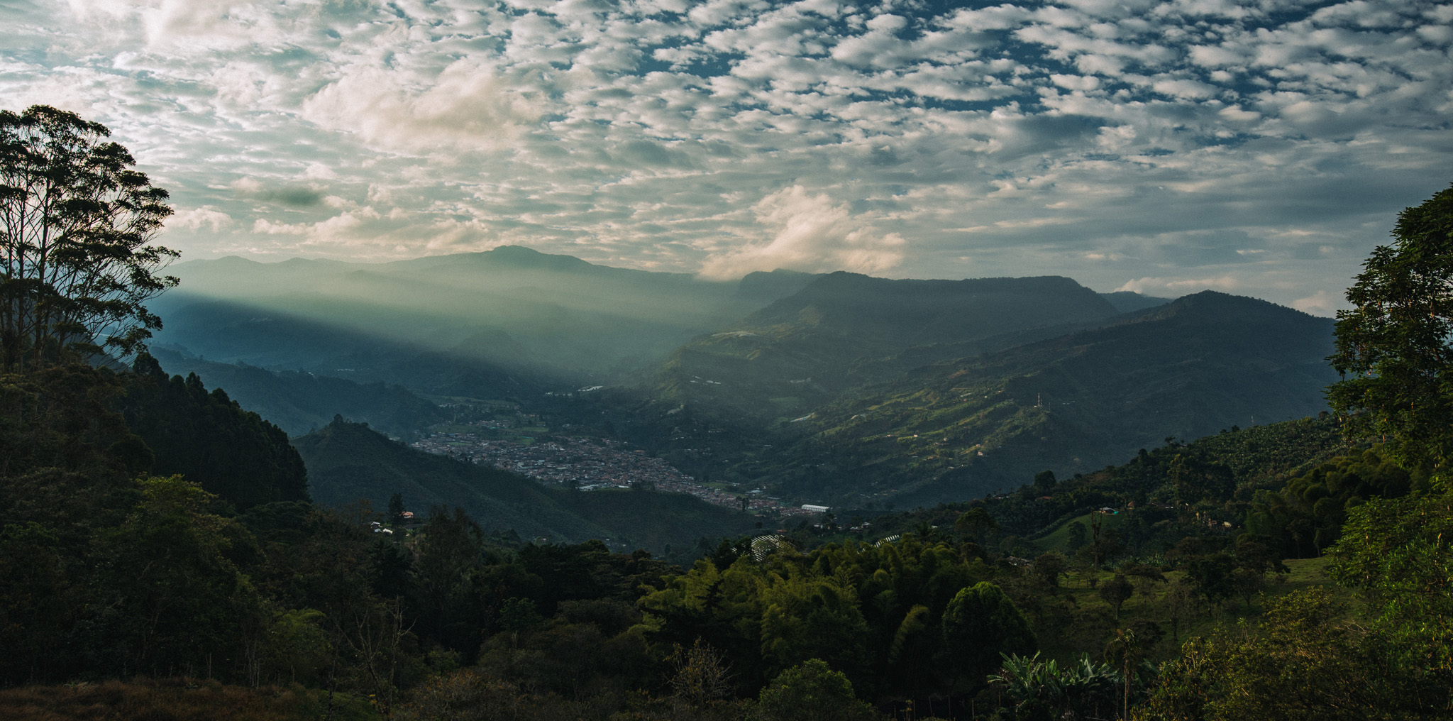
Around 5°37’08″ N 75°48’41″W.
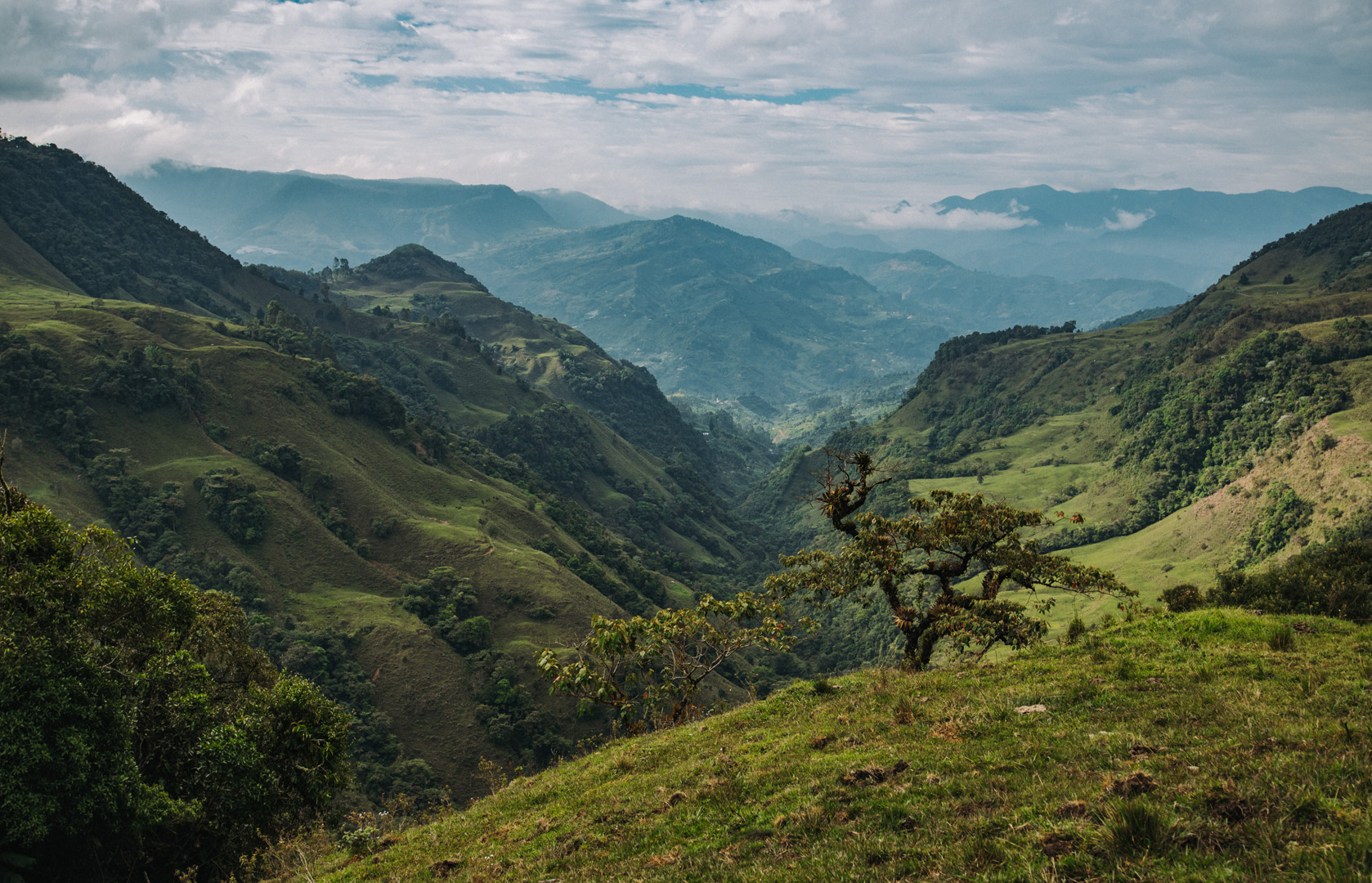
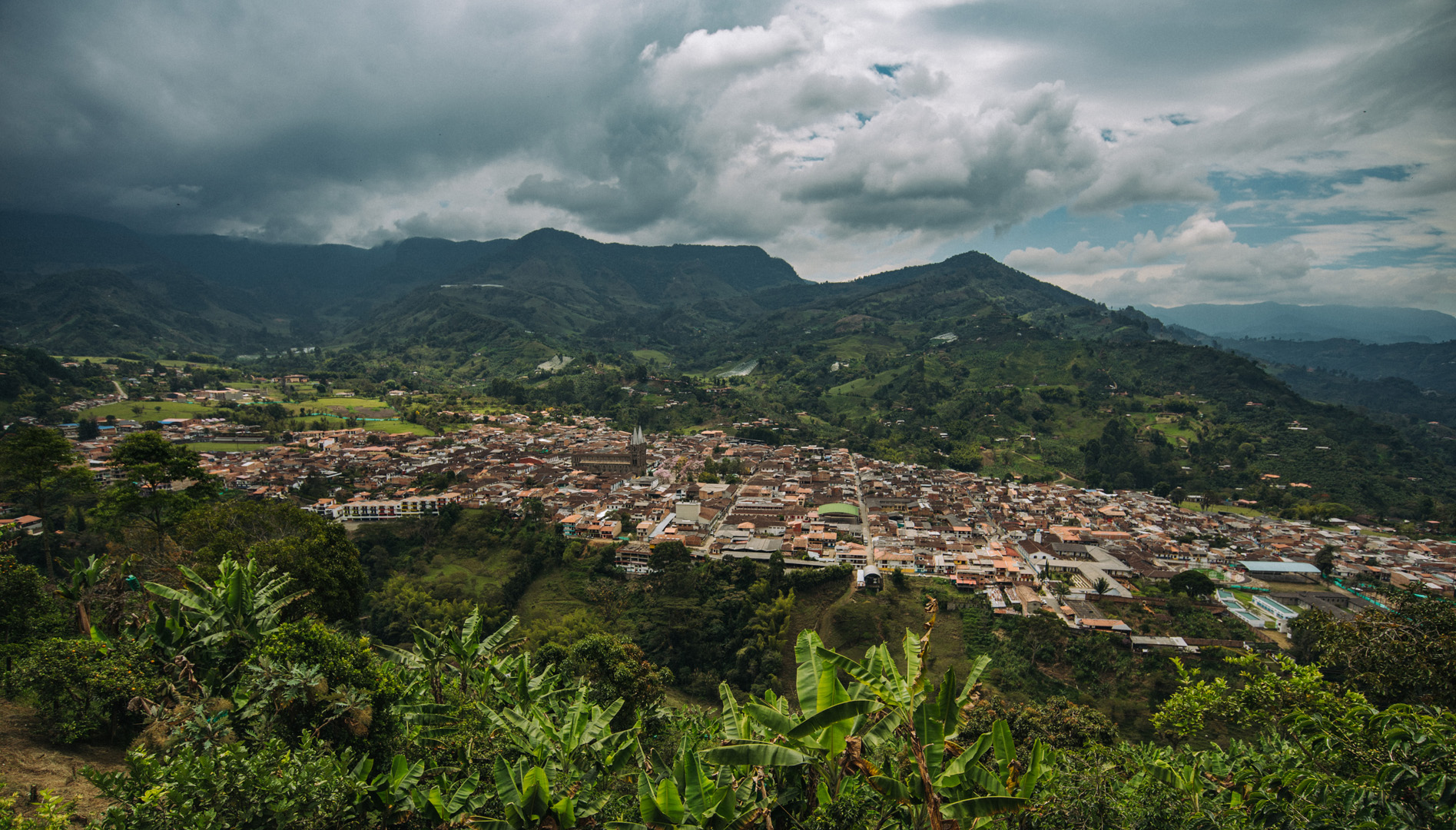
View on Jardín from viewpoint at Cerro Cristo Rey (5°36’17″ N 75°49’05″W).
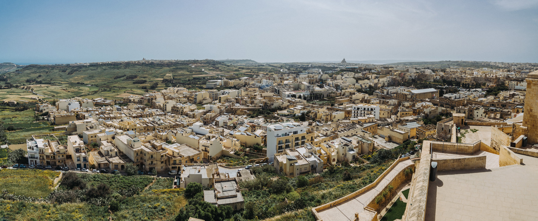
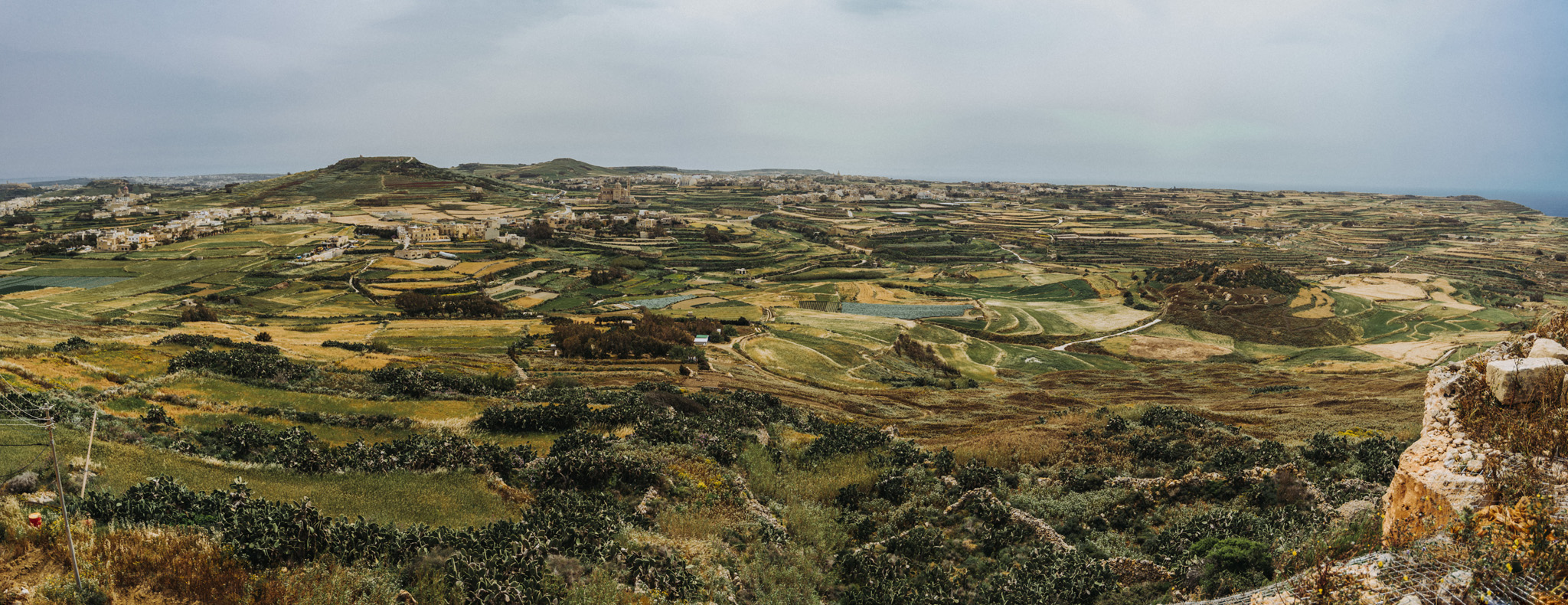
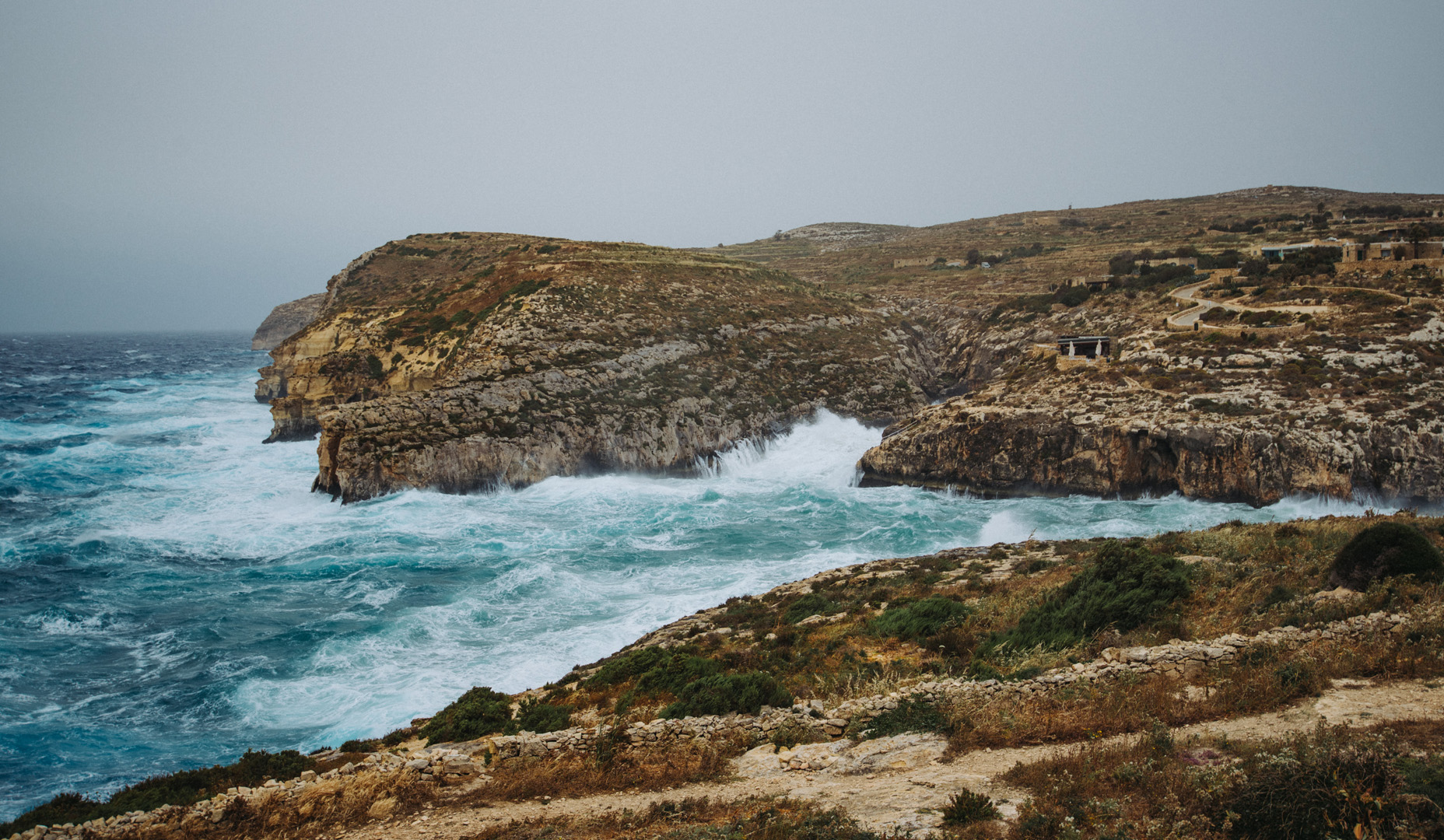
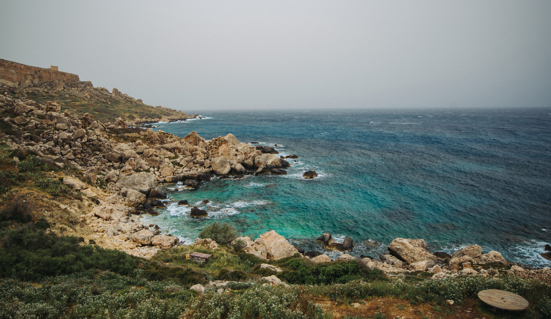
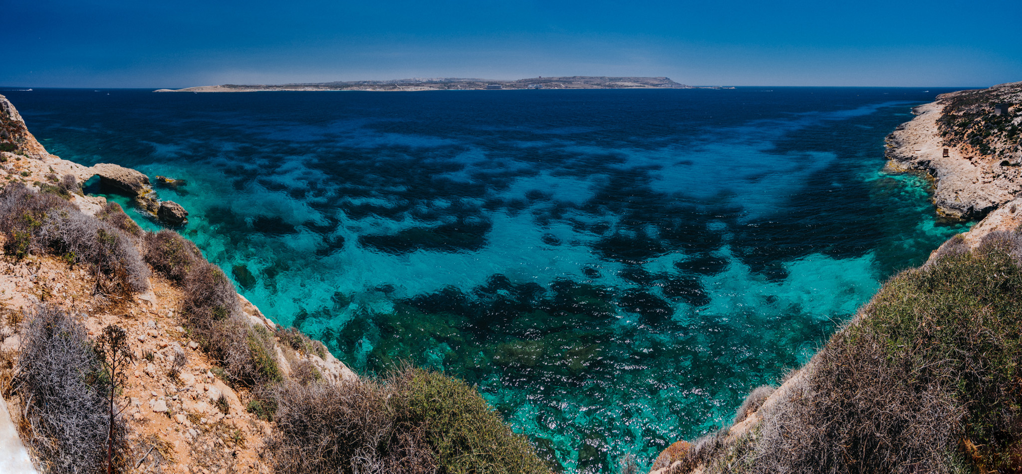
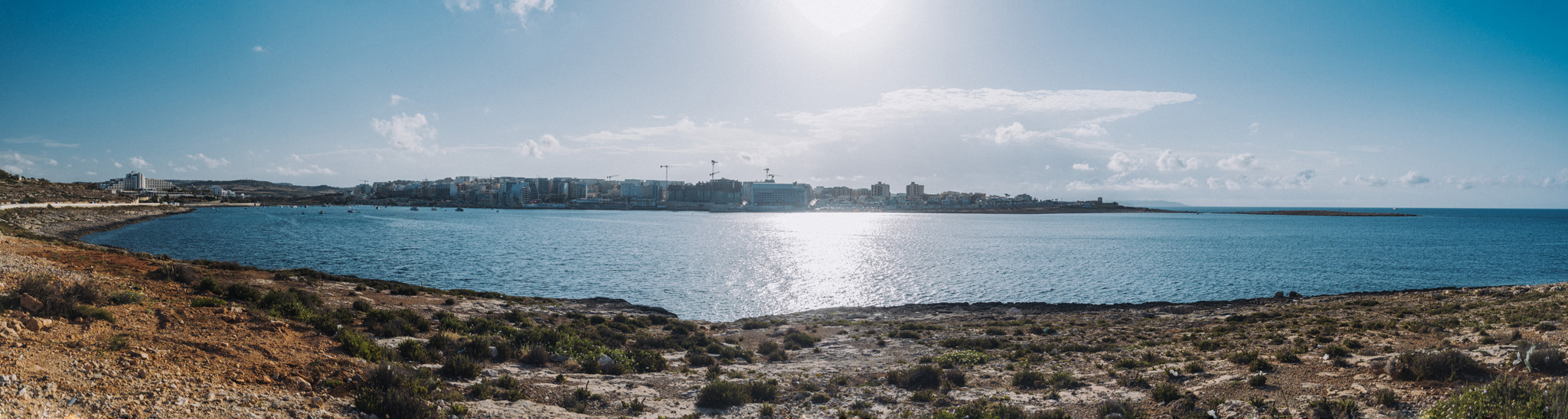
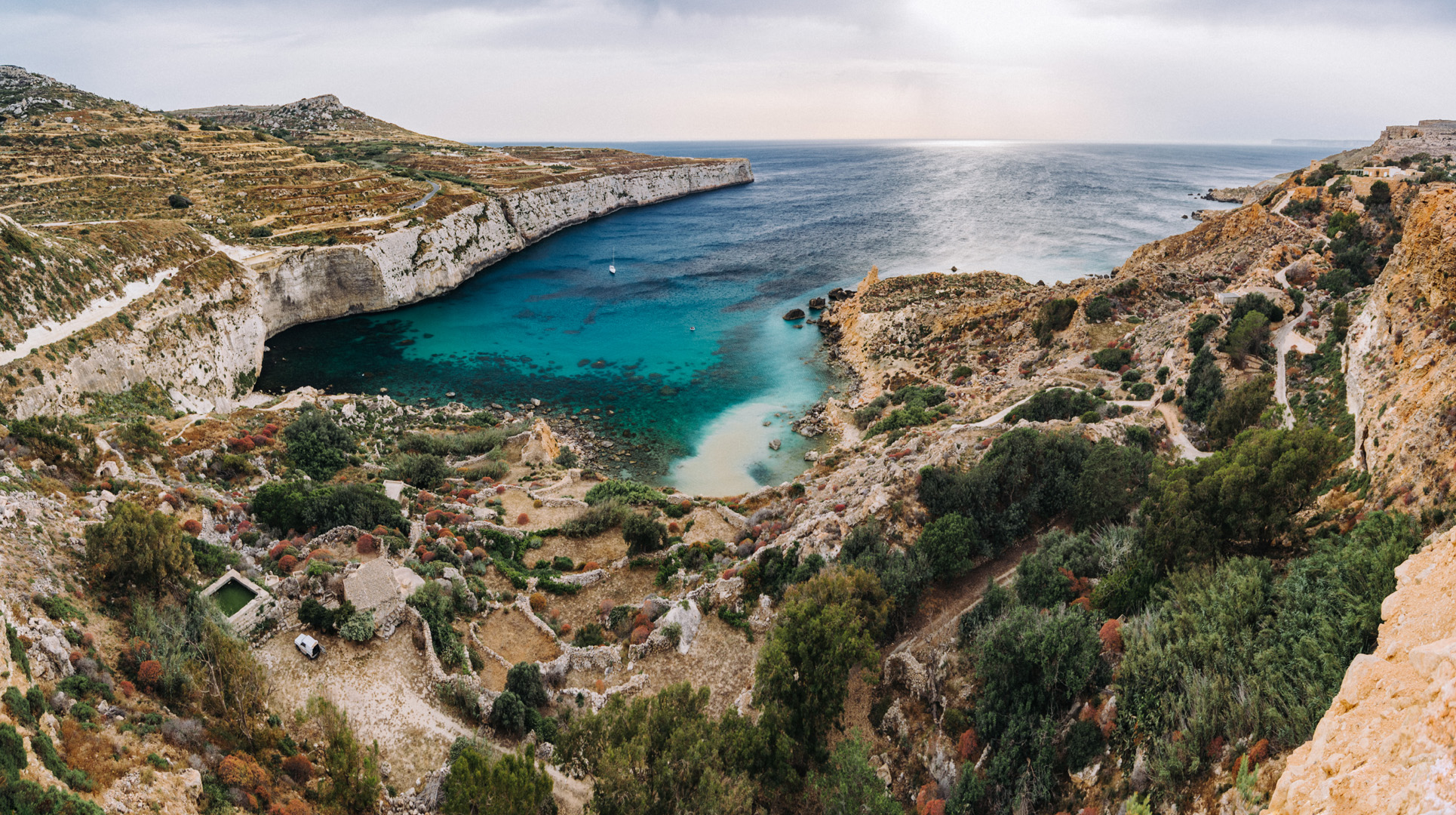
Gozo is the second biggest island on Malta, it has about 35 000 inhabitants.
Basilica di San Giorgio (36°02’38″ N 14°14’21″E) in Victoria.
View from Citadella (36°02’47″ N 14°14’22″E) in Victoria.
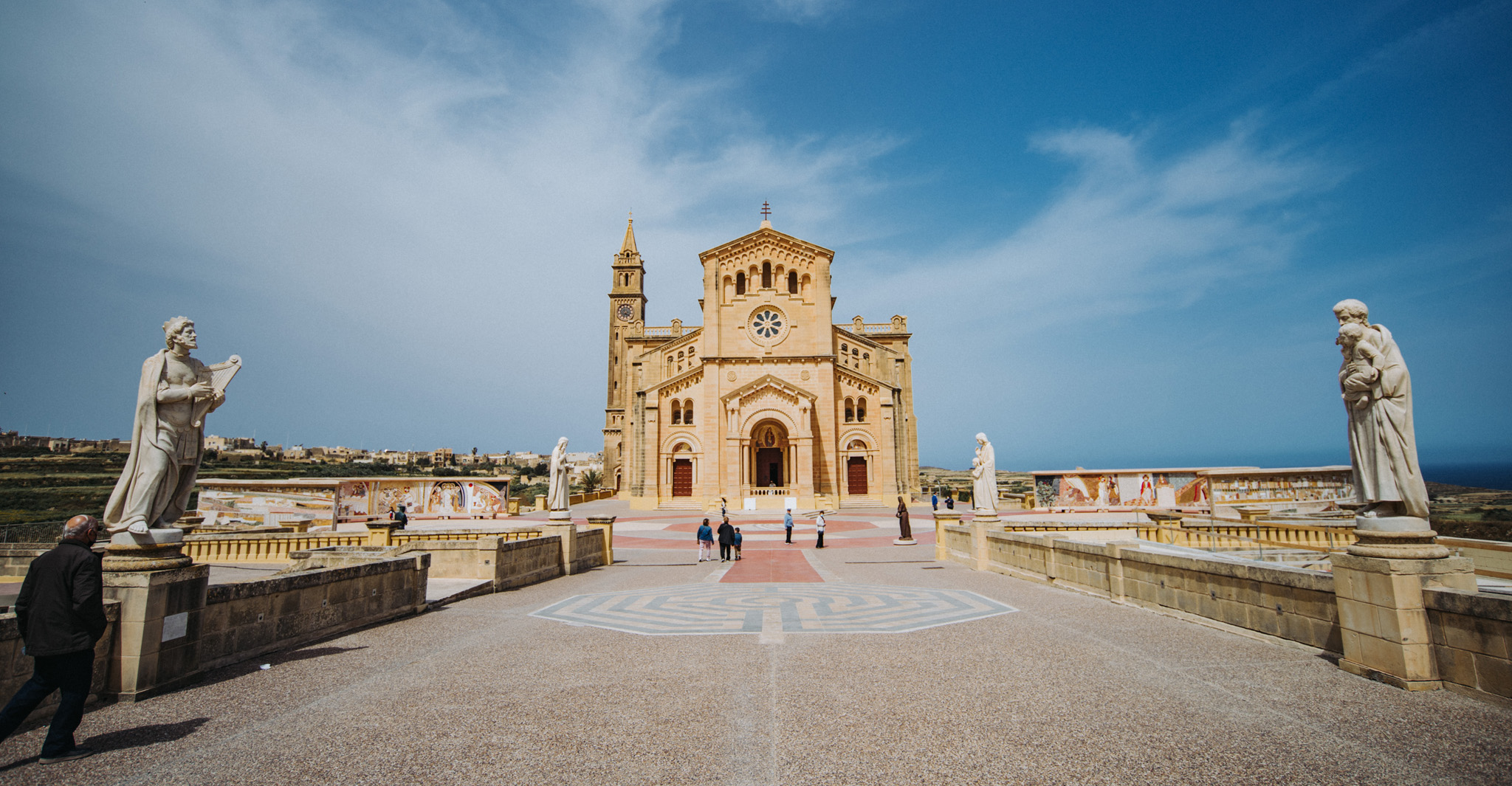
Ta’ Pinu Basilica (36°03’43″ N 14°12’54″E).
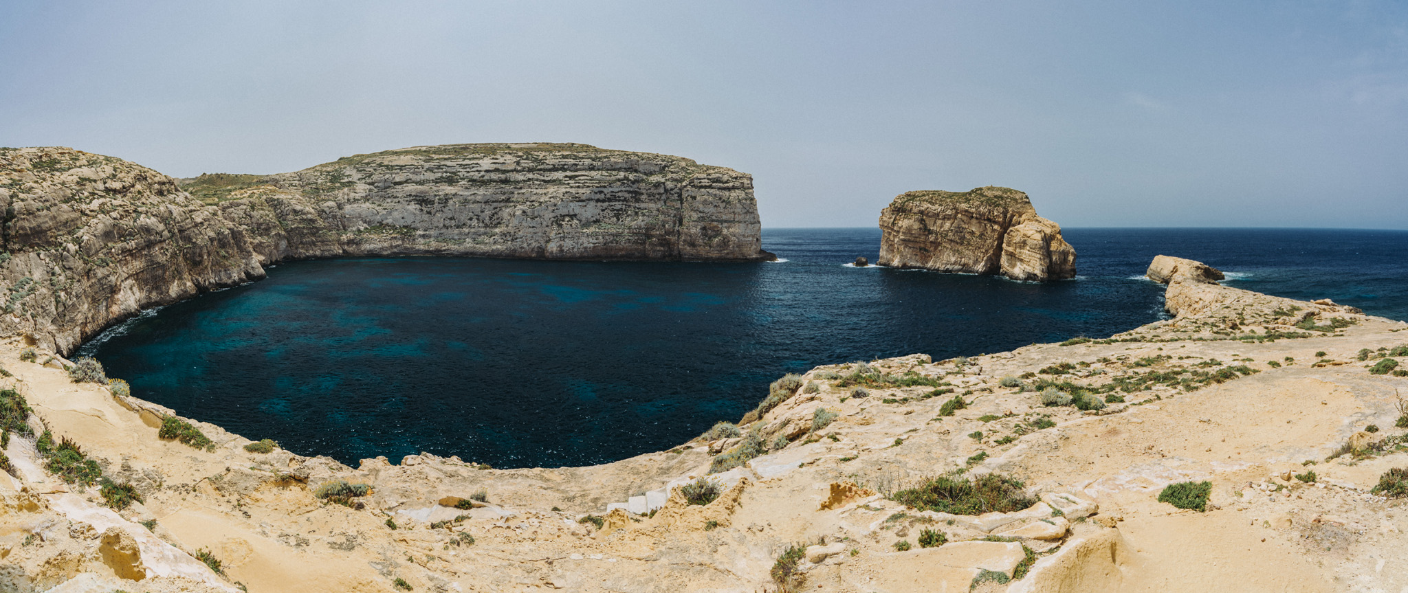
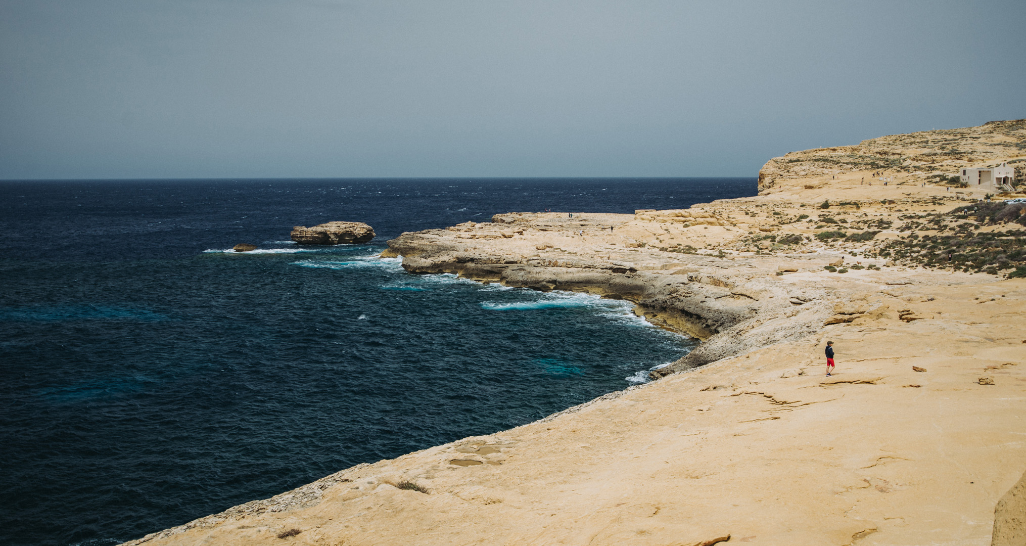
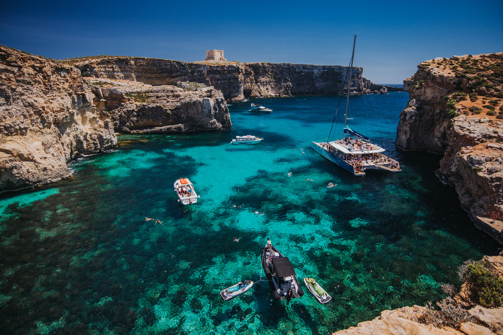
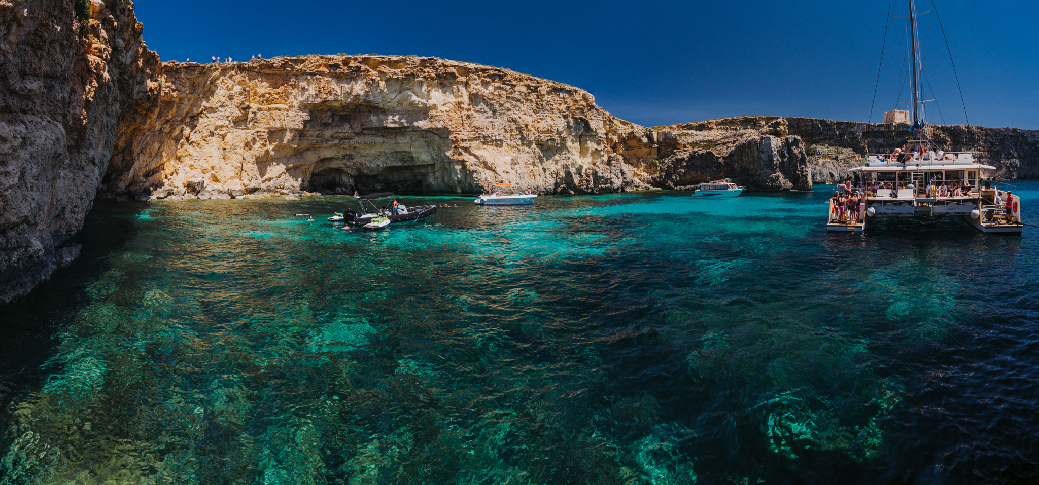
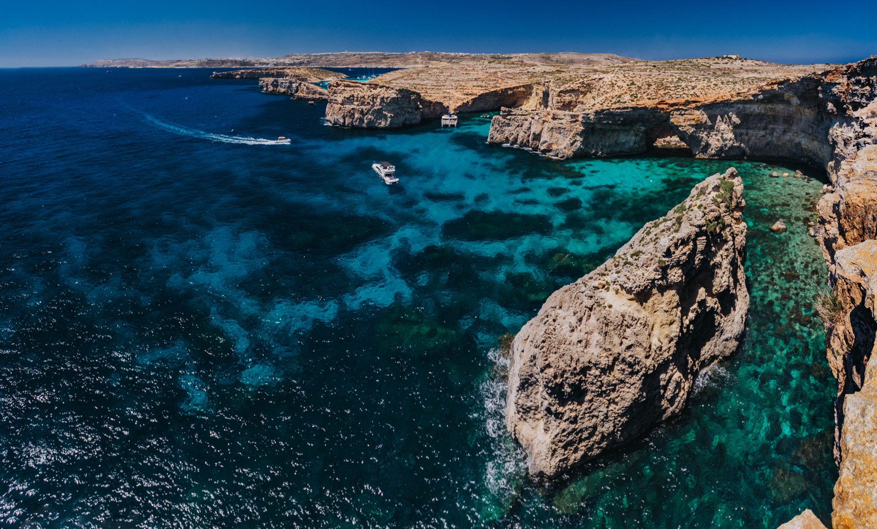
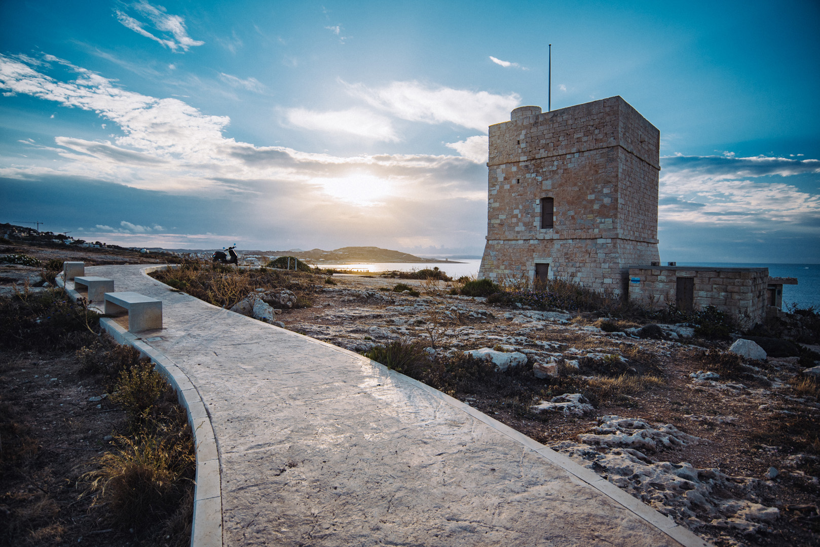
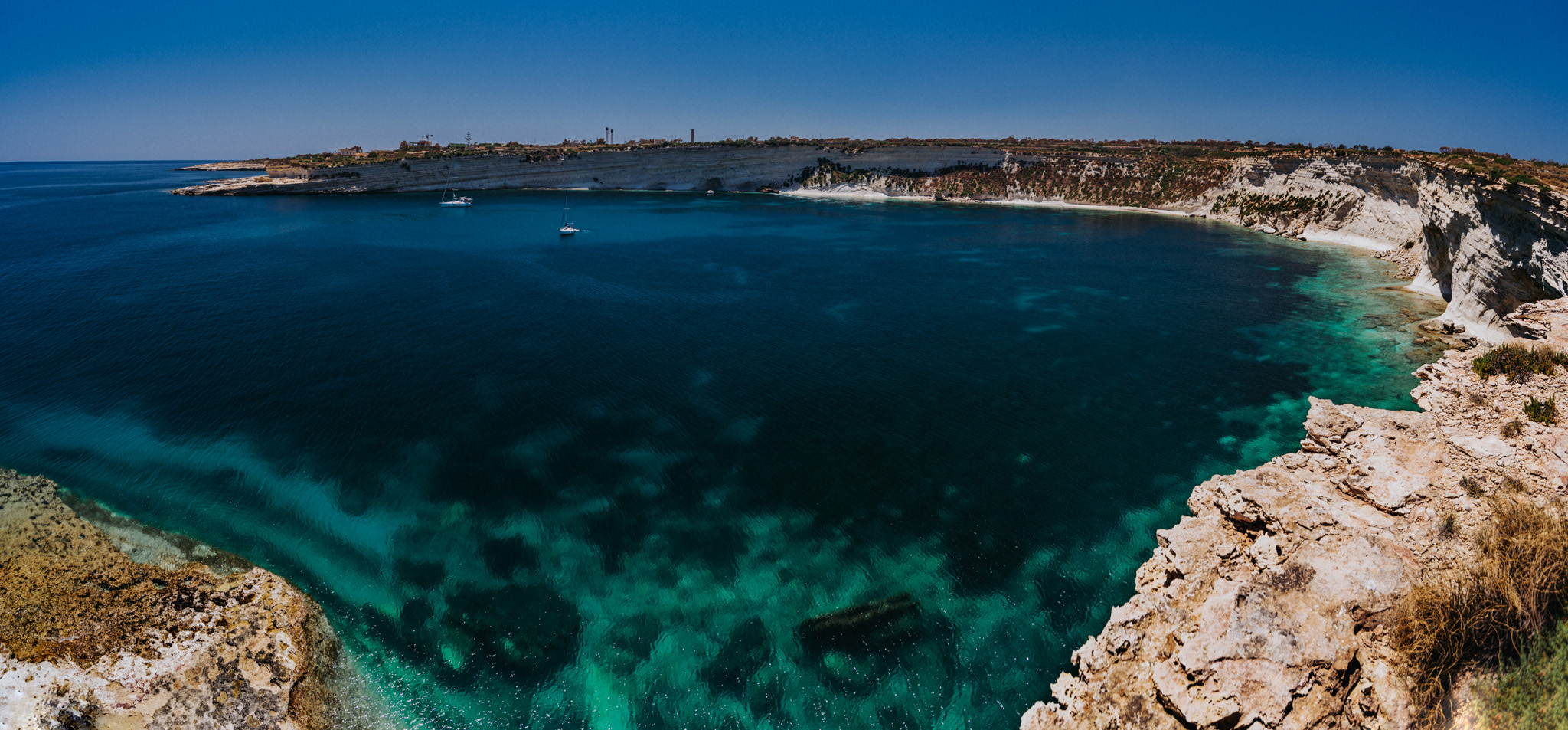
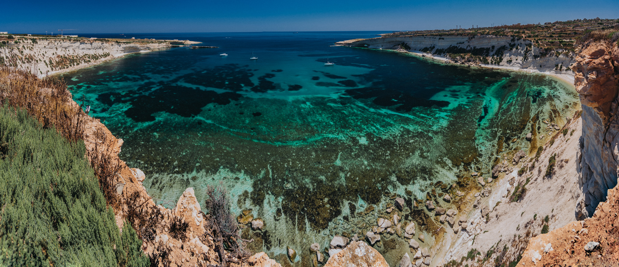
Dwejra Bay (36°02’49″ N 14°11’27″E) seen from around Dwejra tower (36°02’58″ N 14°11’31″E), the rock on the right side is called Fungus Rock (36°02’48″ N 14°11’20″E).
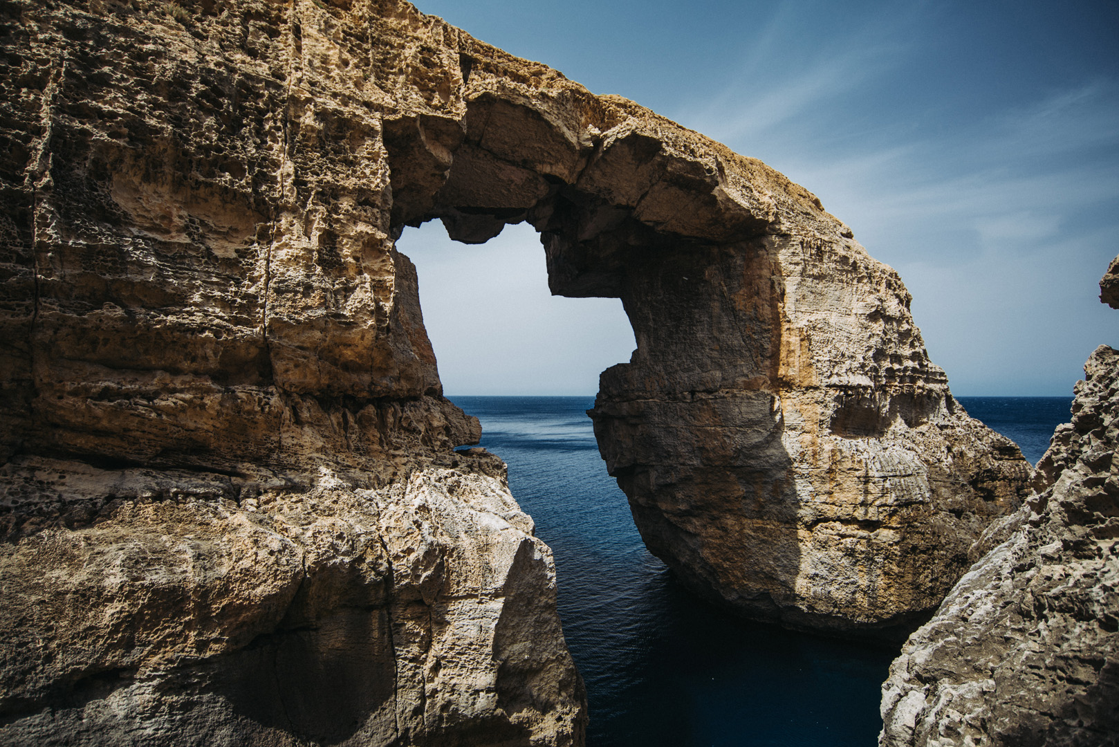
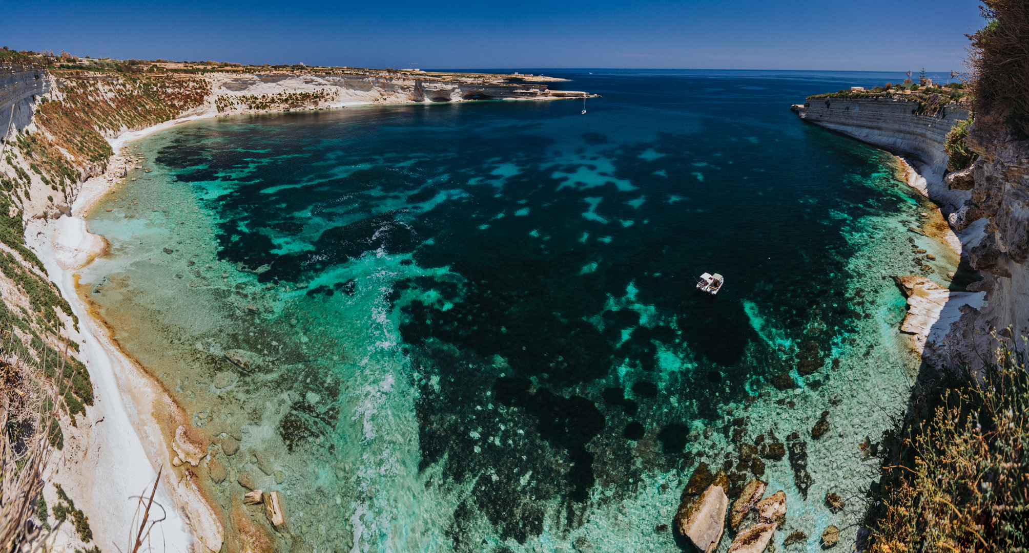
View from around Dwejra tower onto what was once Blue Hole.
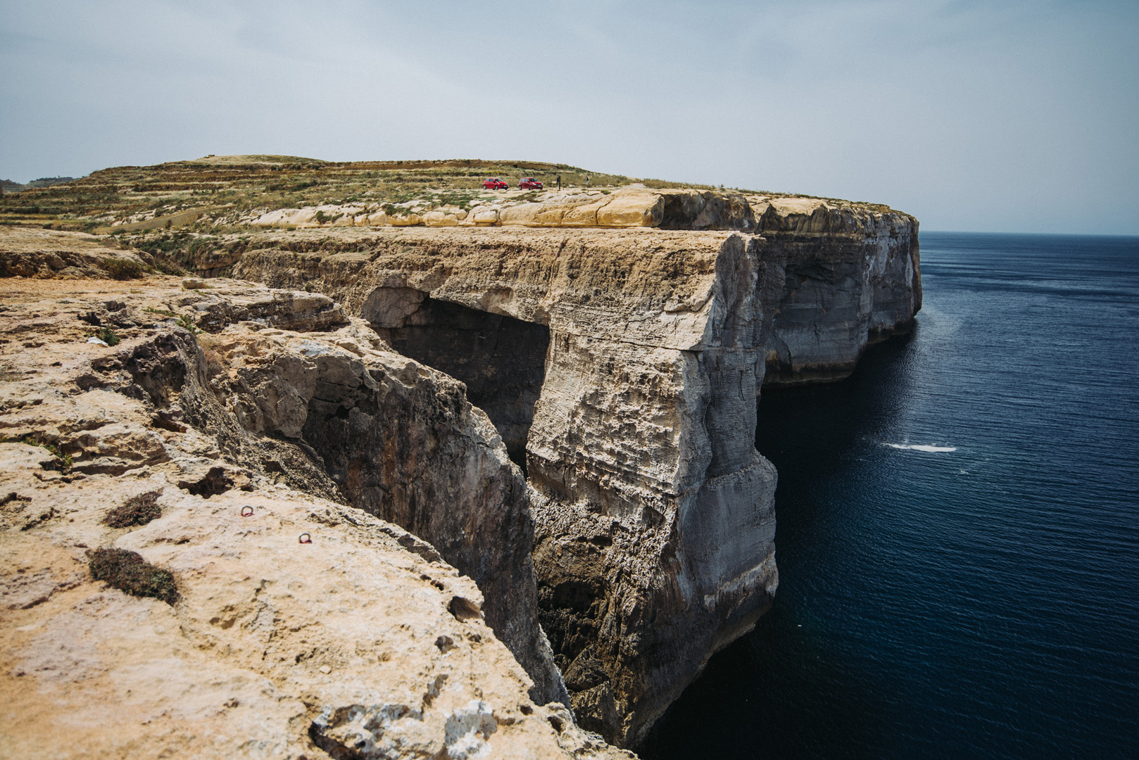
Wied il-Mielaħ (36°04’46″ N 14°12’46″E).
View from Giordan Lighthouse (36°04’20″ N 14°13’06″E) to the south. The highest hill on the picture (on the left side) is the Ta’ Għammar Hill (36°03’33″ N 14°13’12″E) and just on its right side there is visible Ta’ Pinu Basilica.
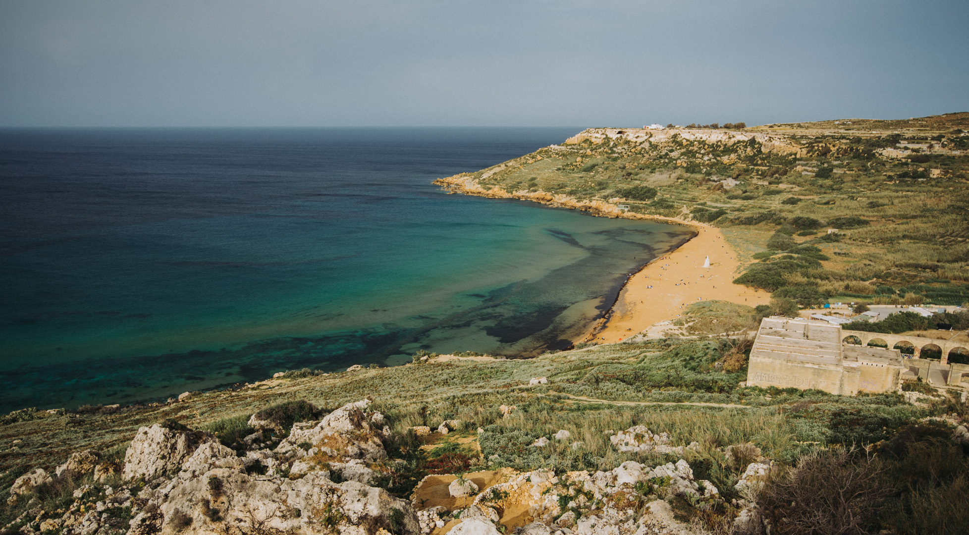
View onto Ramla Bay (36°03’41″ N 14°17’03″E) from viewpoint near Calypso Cave (36°03’38″ N 14°16’46″E).
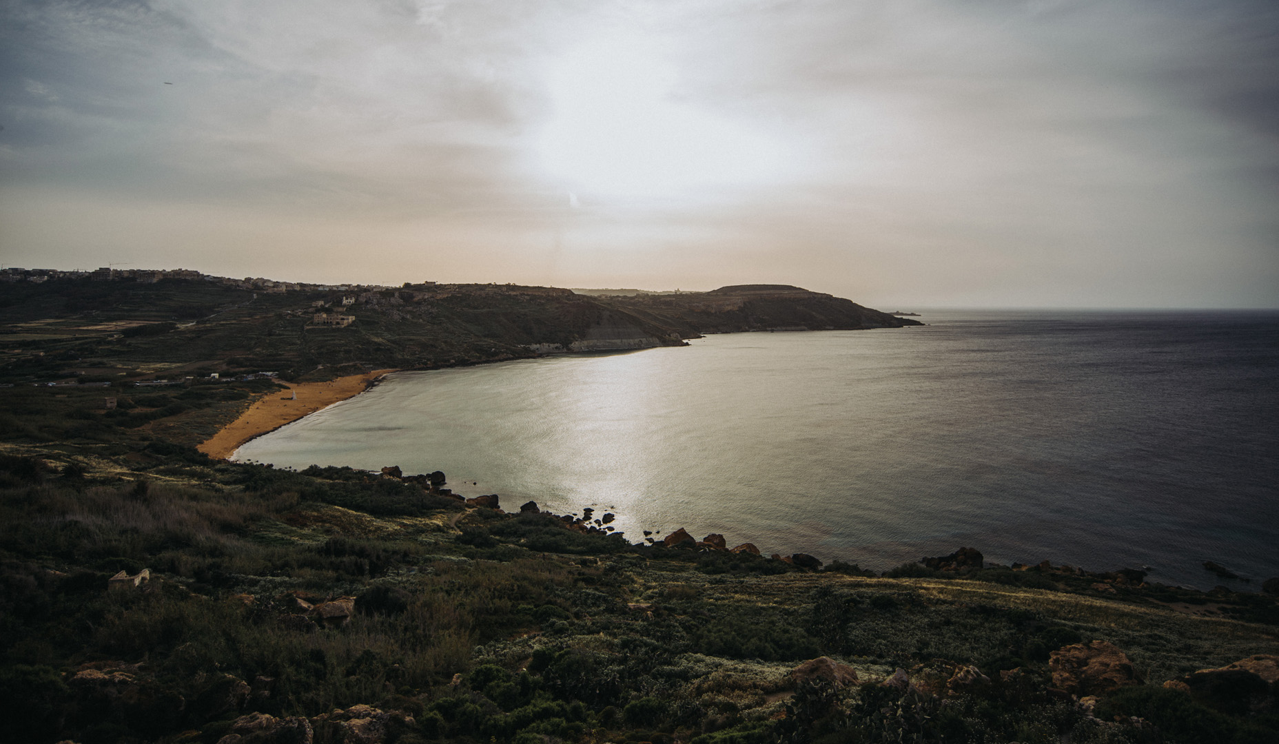
View onto Ramla Bay from Tal-Mixta Cave (36°03’48″ N 14°17’22″E).
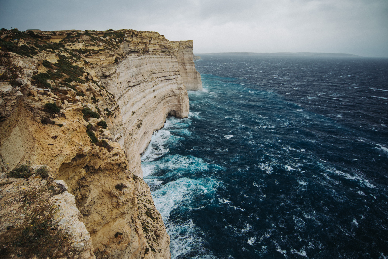
Sanap Cliffs Sunset (36°01’15″ N 14°13’21″E).
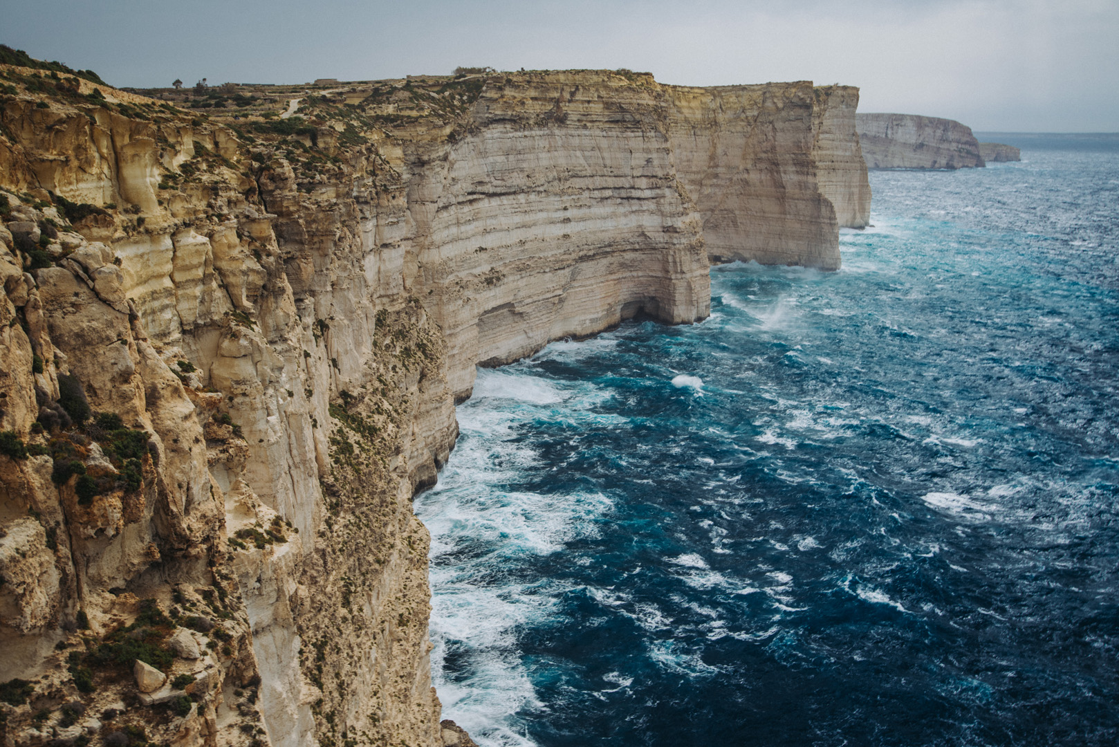
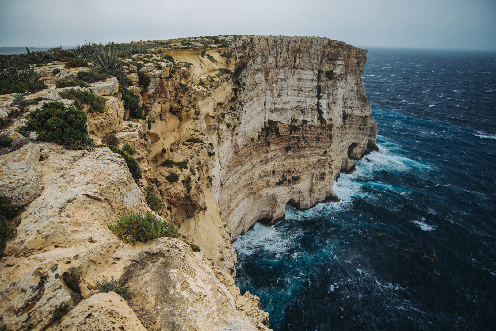
Ta’ Ċenċ cliffs (36°01’05″ N 14°15’09″E).
Rotunda of Xewkija (36°01’54″ N 14°15’40″E).
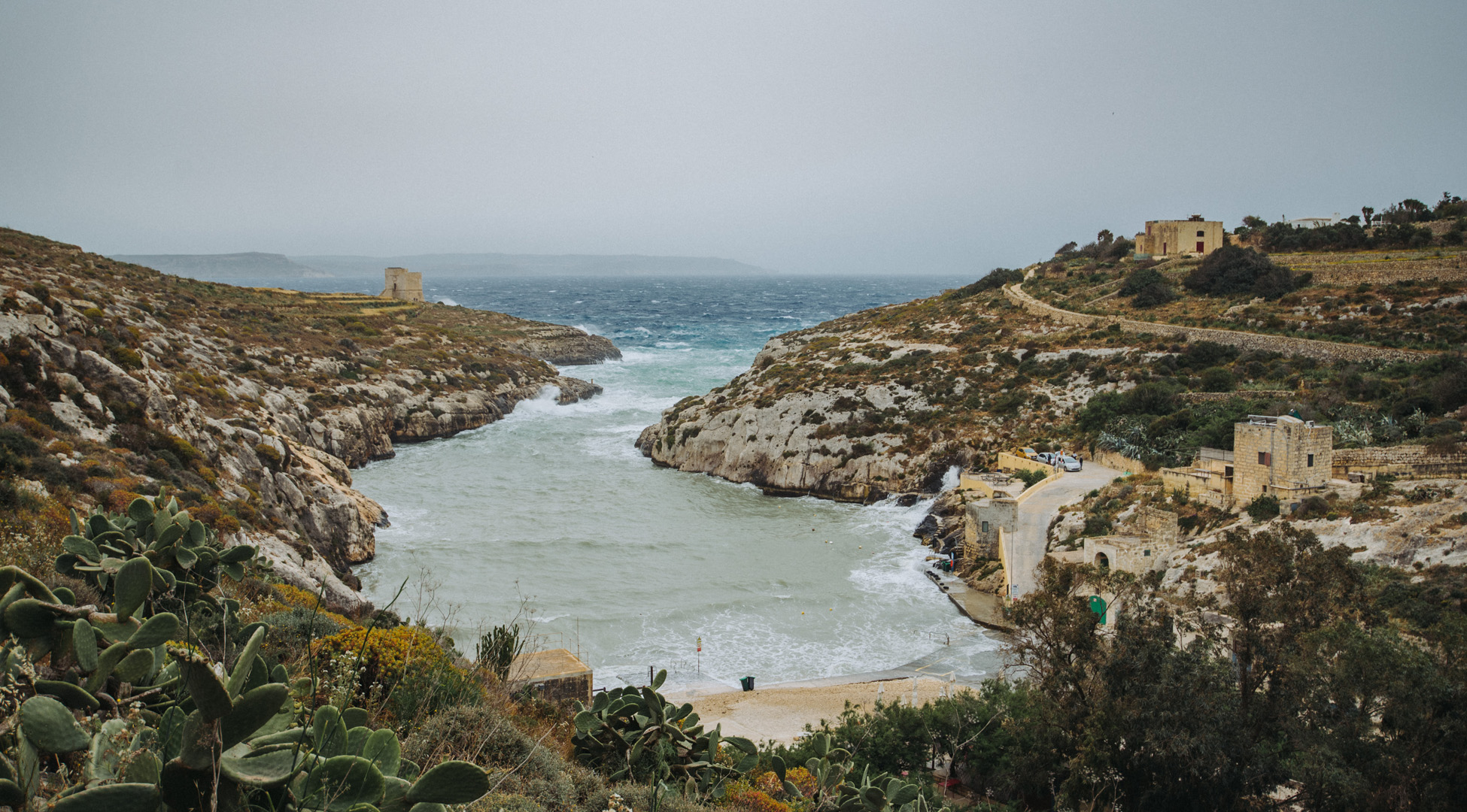
Mġarr ix-Xini beach and bay (36°01’13″ N 14°16’16″E).
View on Mġarr ix-Xini bay from Mġarr ix-Xini Tower (36°01’02″ N 14°16’28″E).
Malta is a small island (just 27 x 14 km) that together with smaller Gozo (14 x 7 km) is inhabited by just half million people. Even though it’s small Malta has surprisingly high number of monuments and cultural properties.
Valetta
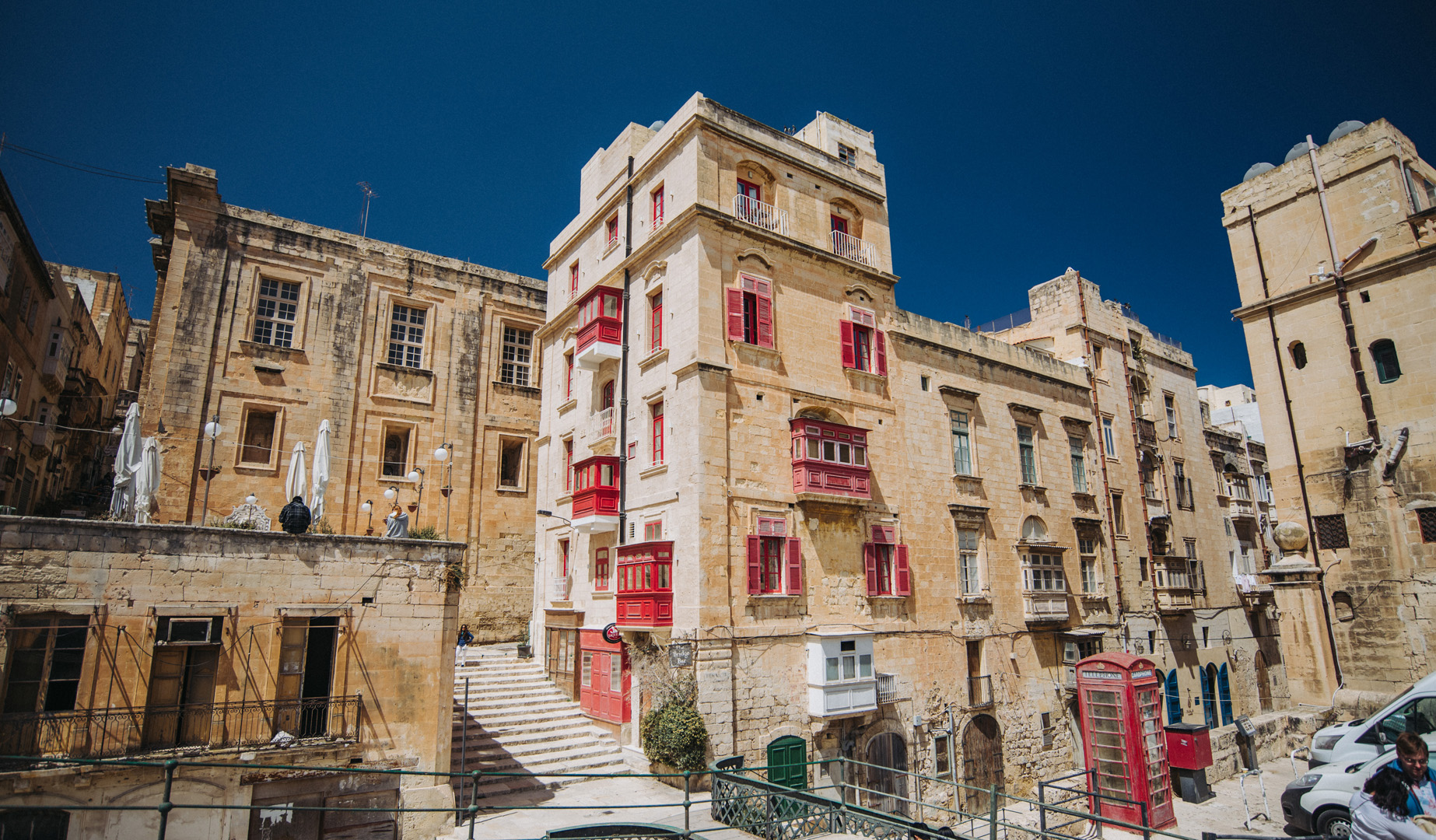
Valetta is a Malta’s capital, is inhabited by just under 6000 people and has cultural properties literally on every corner.
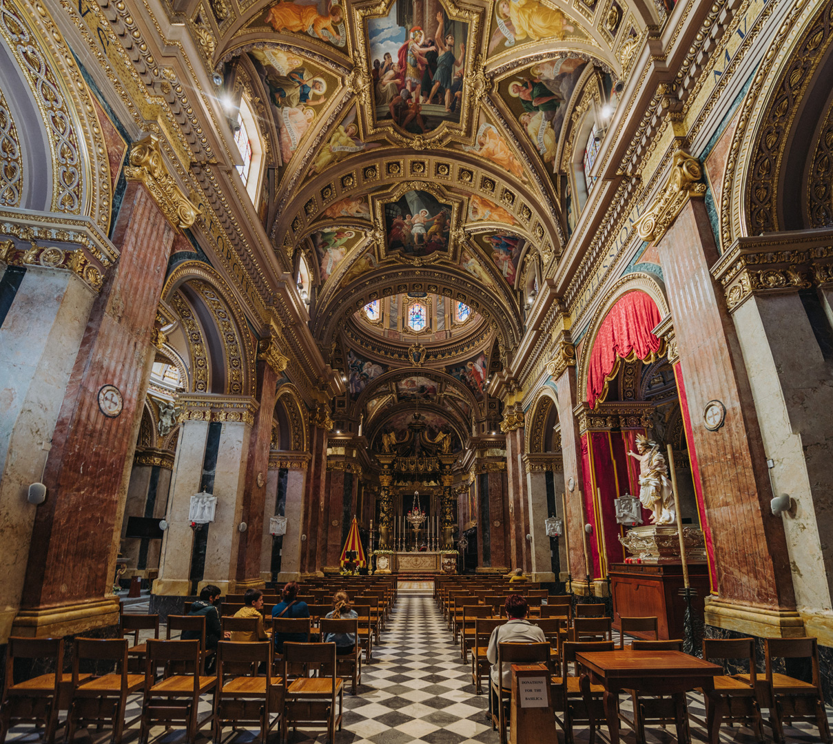
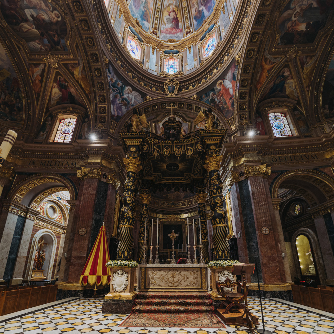
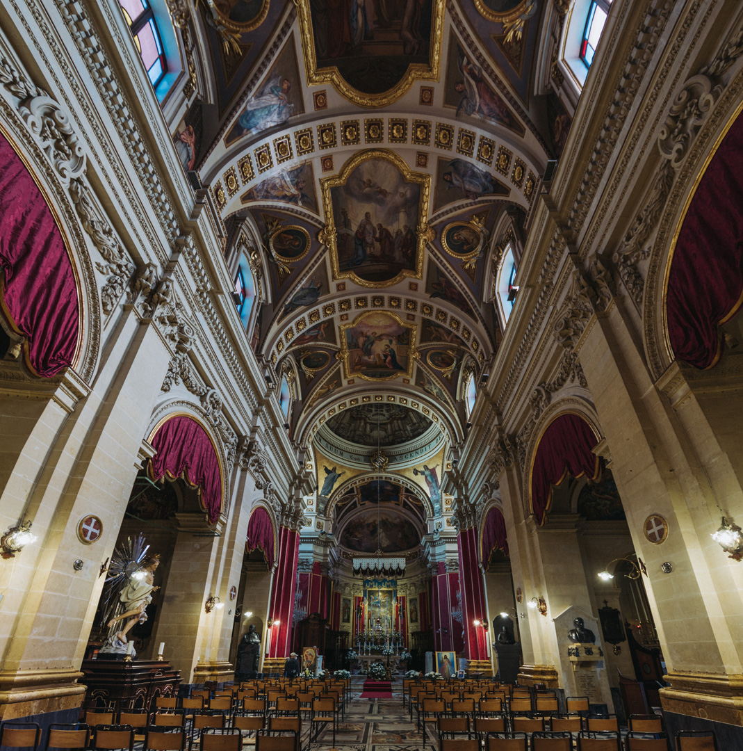
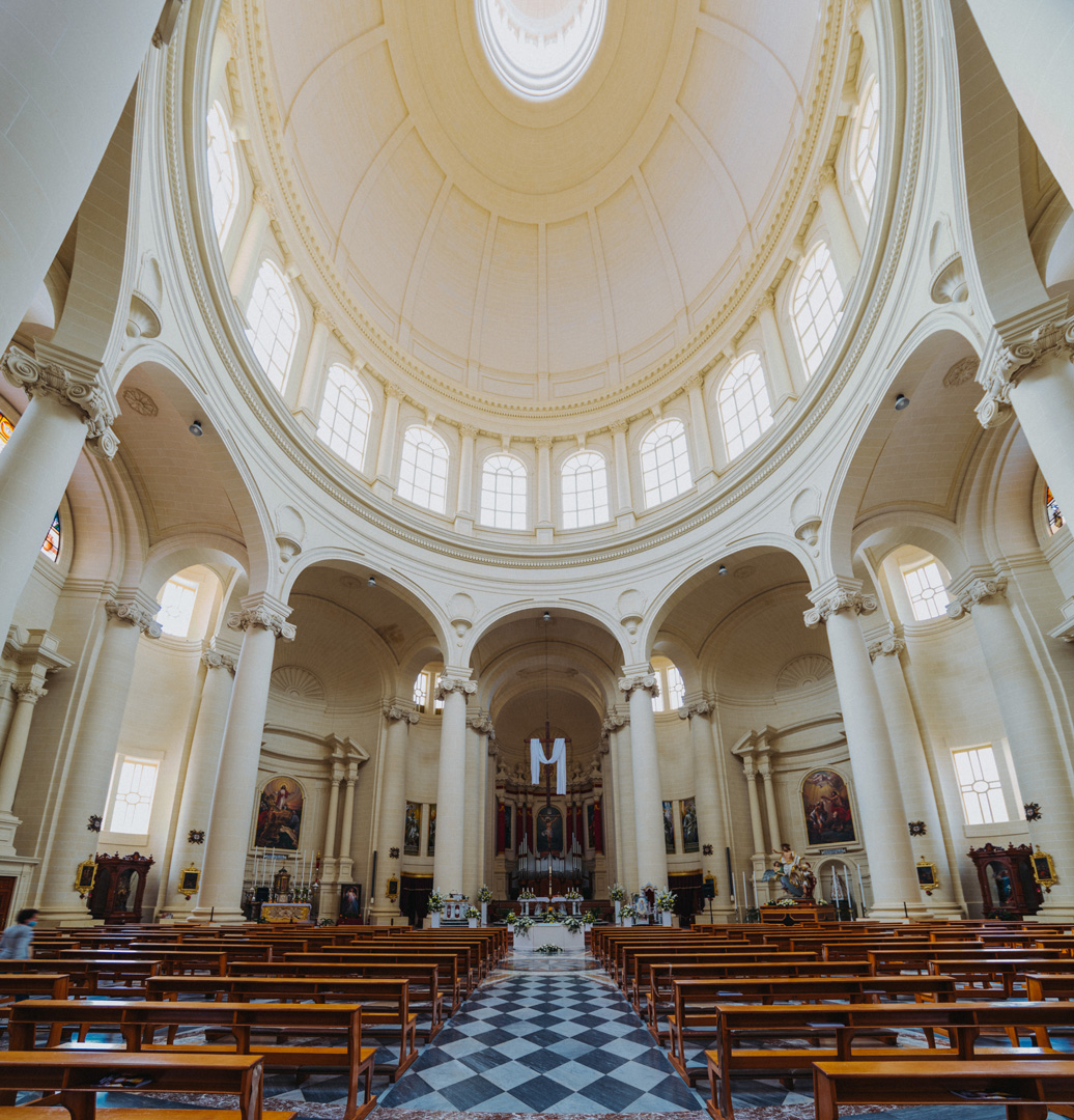
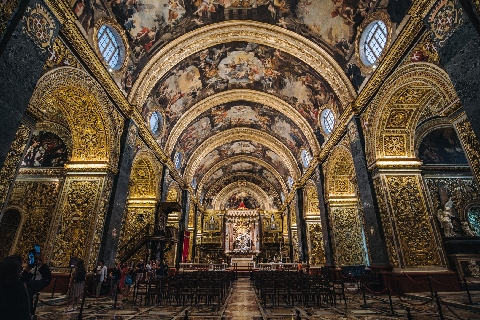
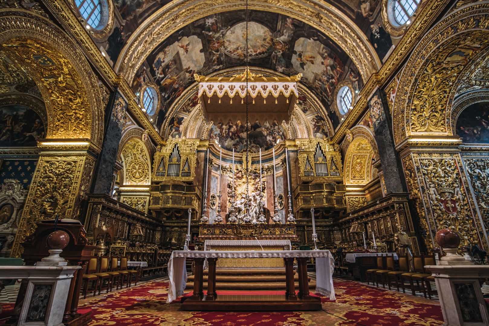
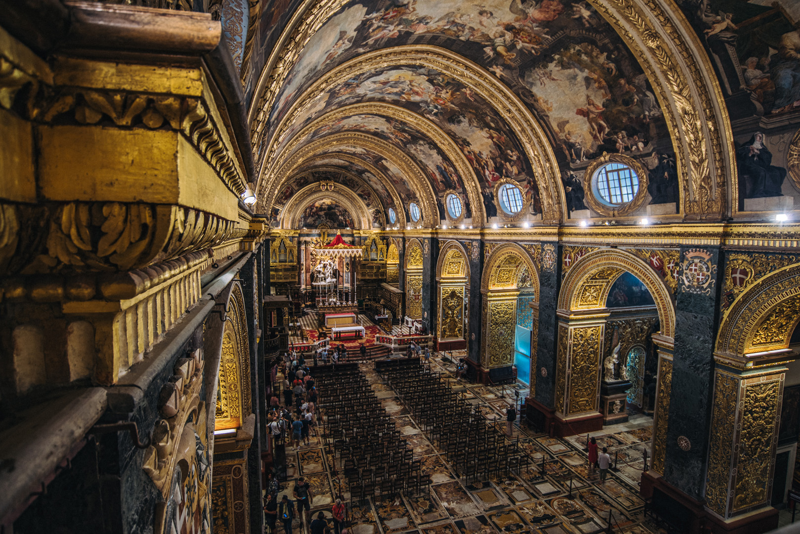
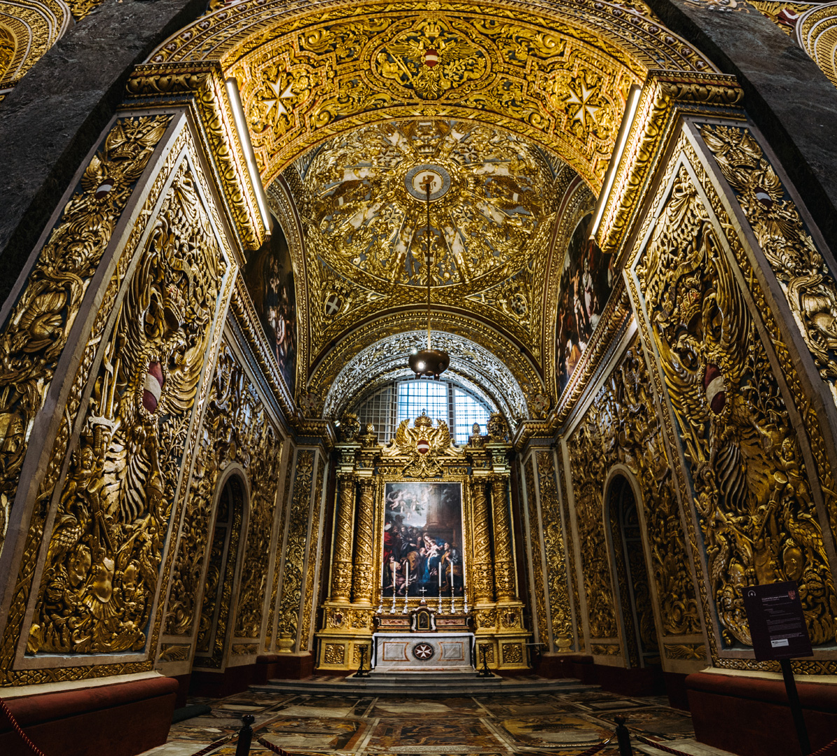
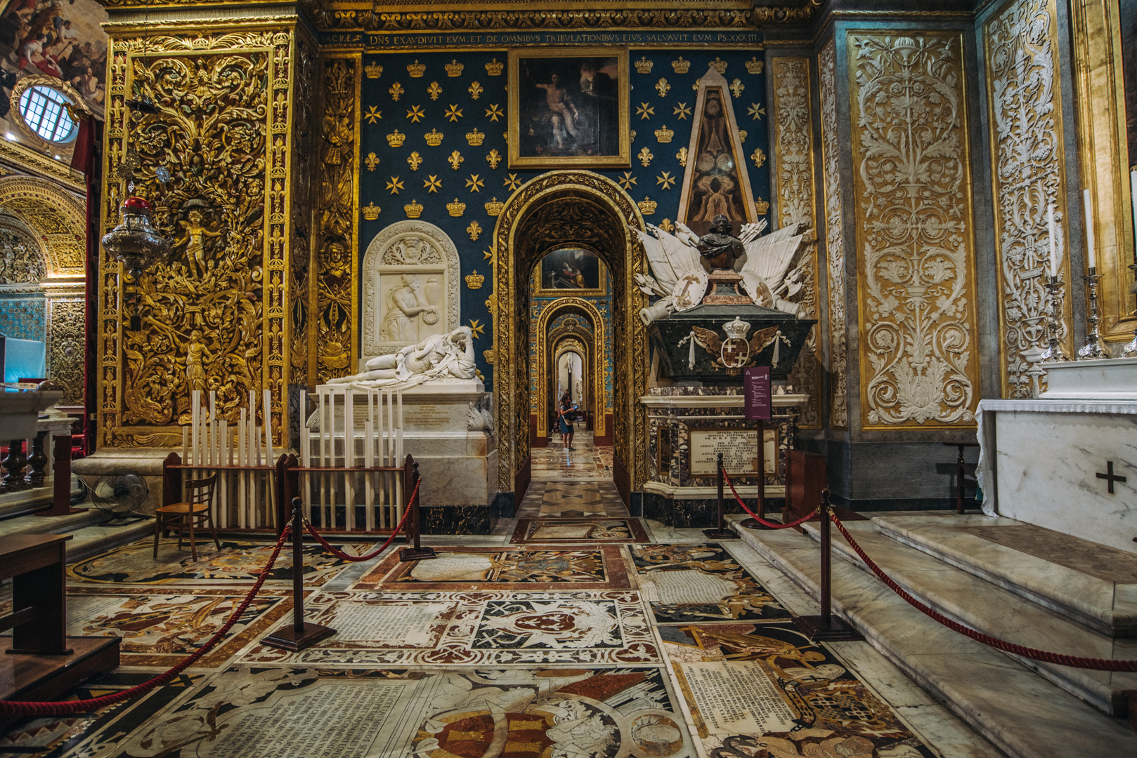
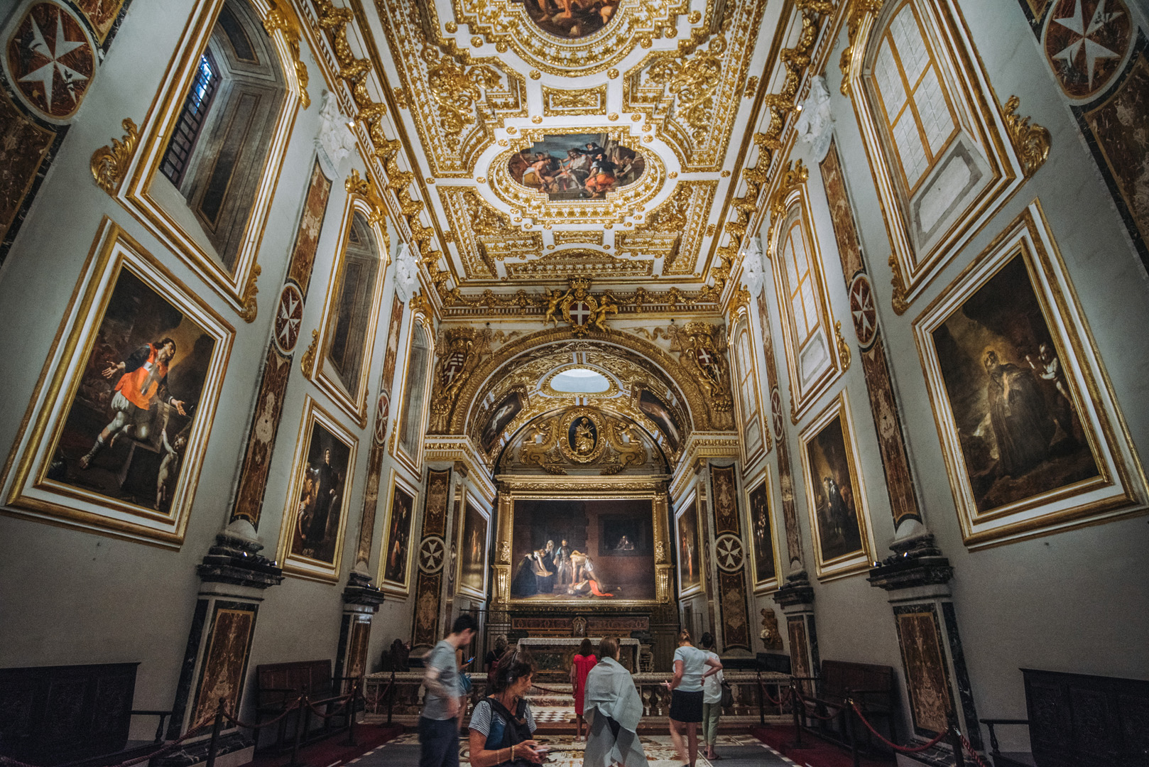
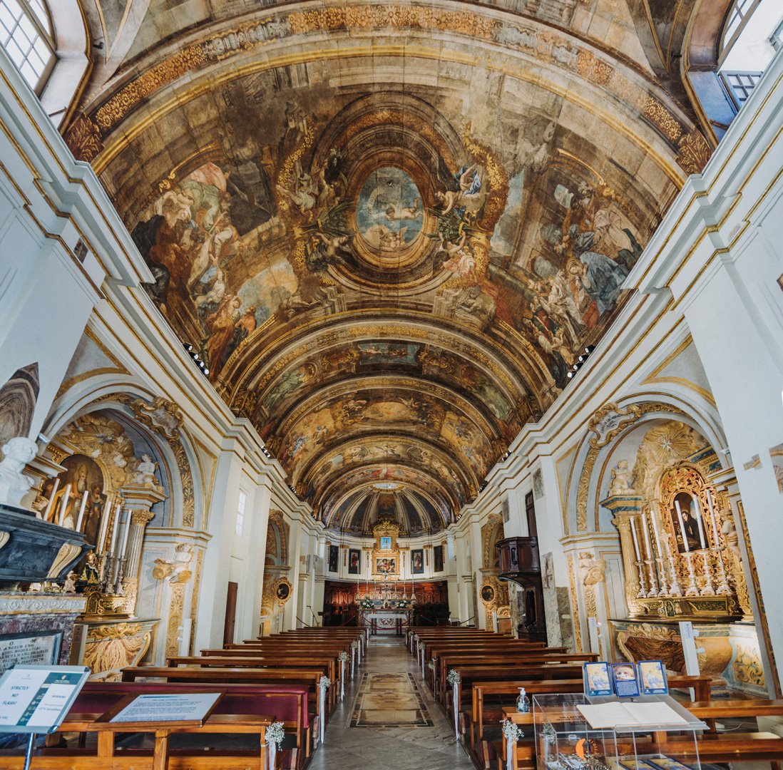
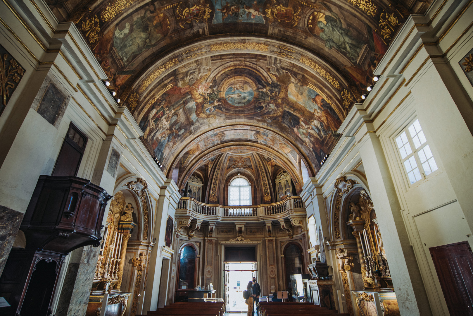
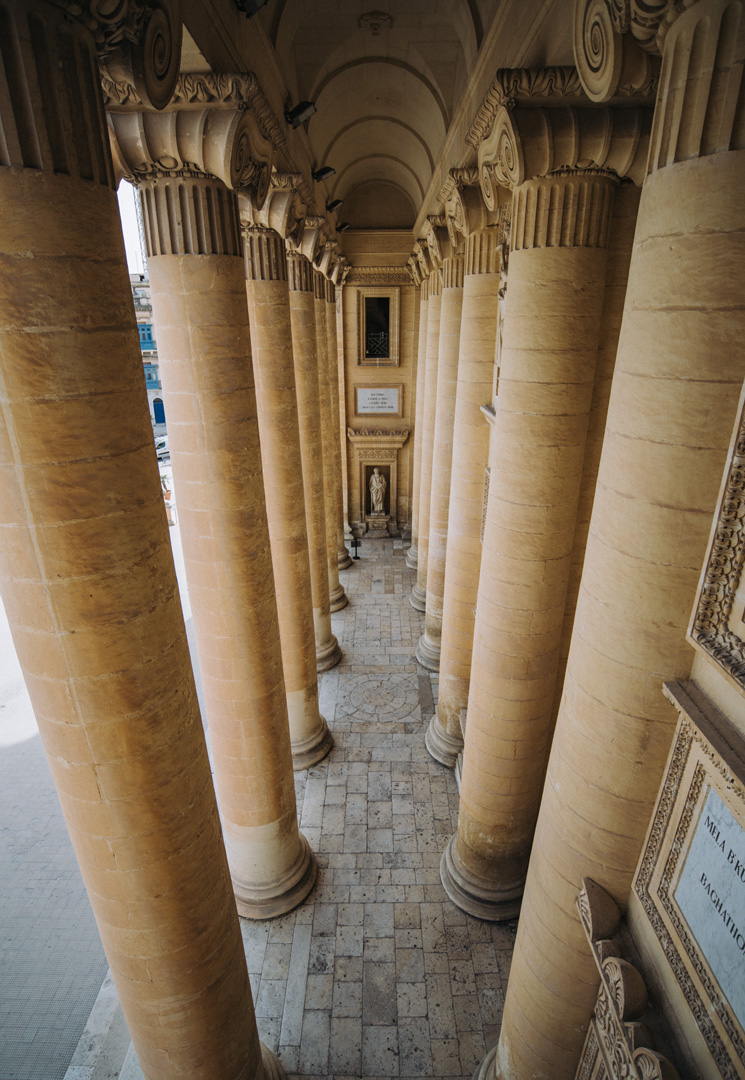
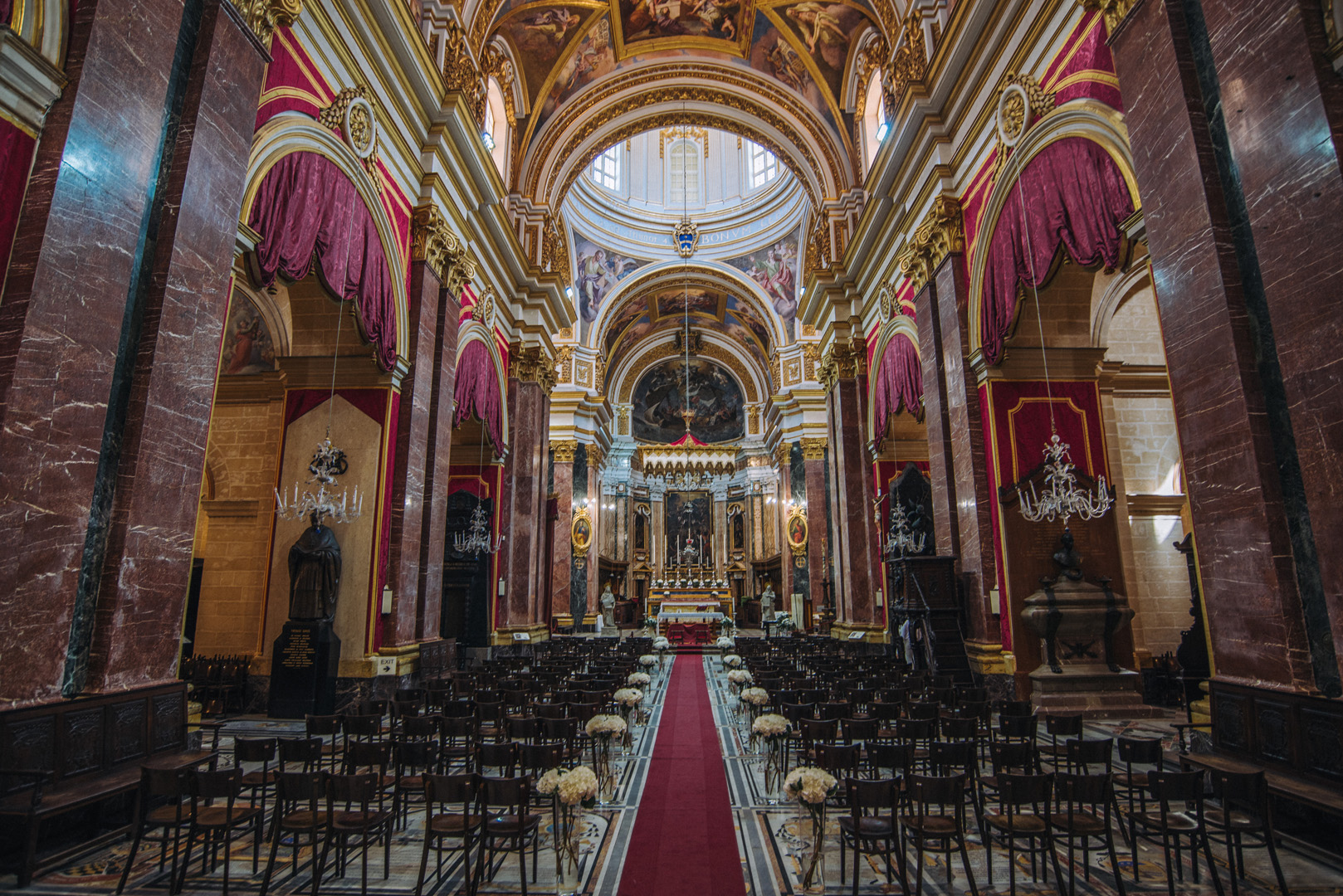
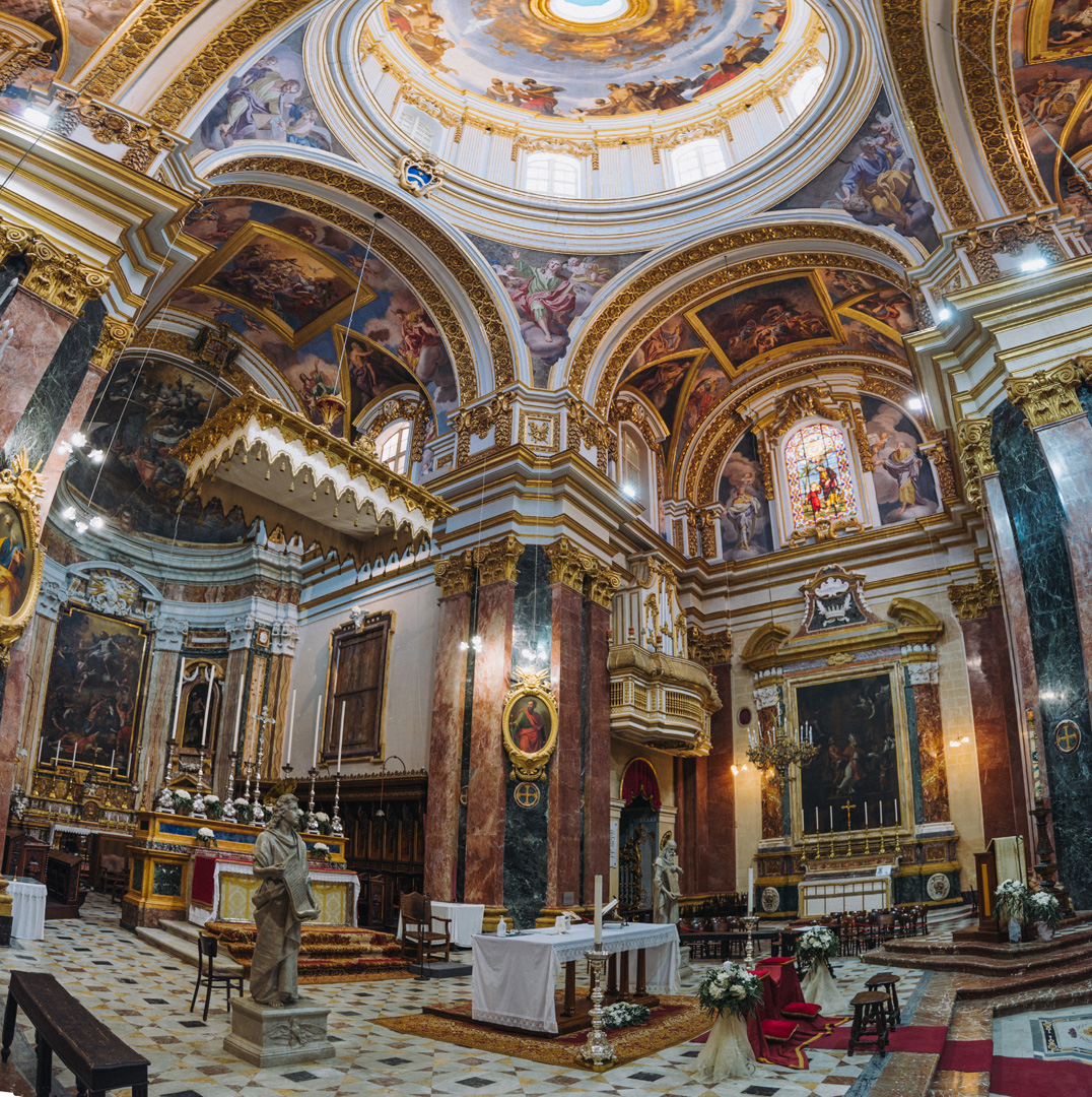
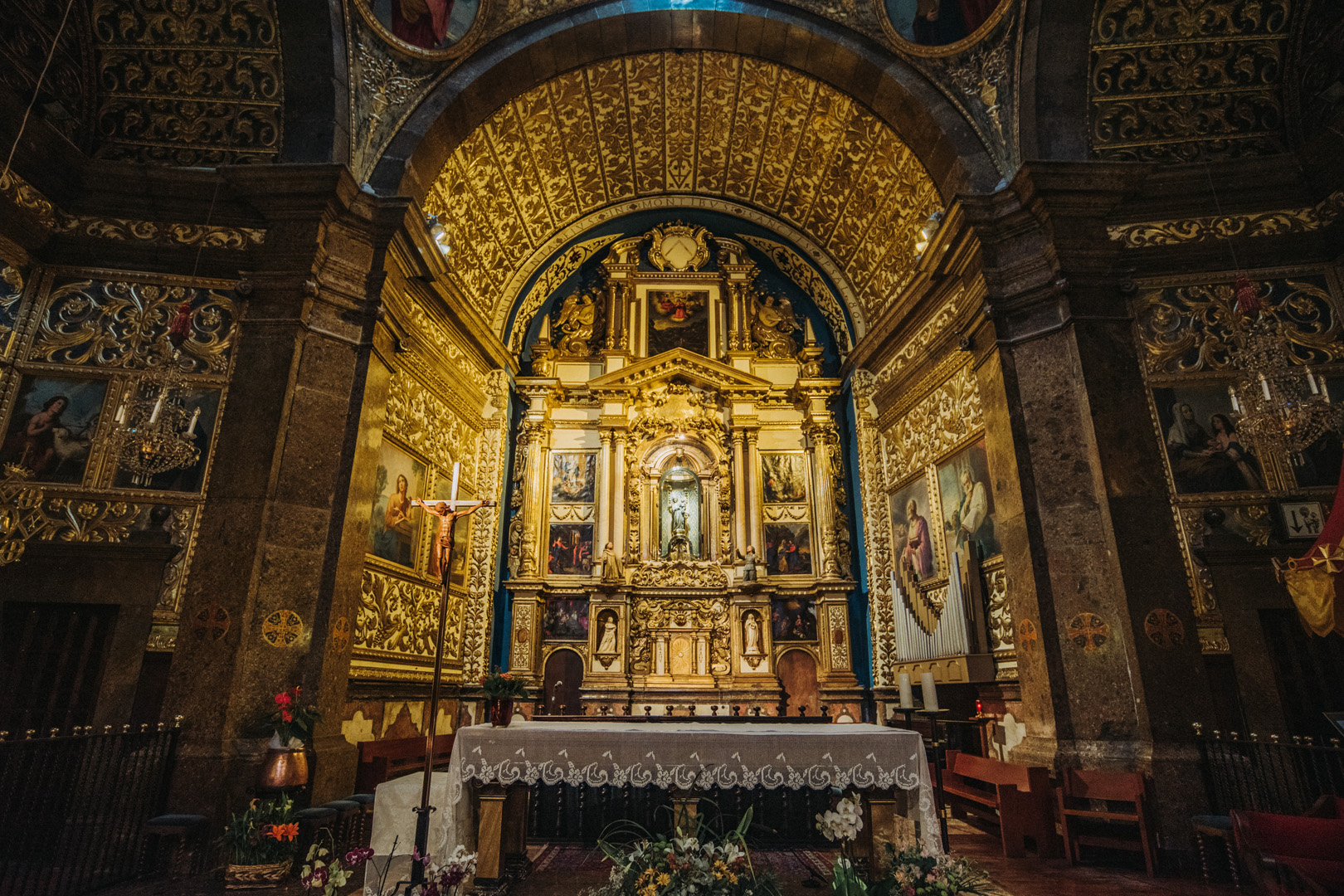
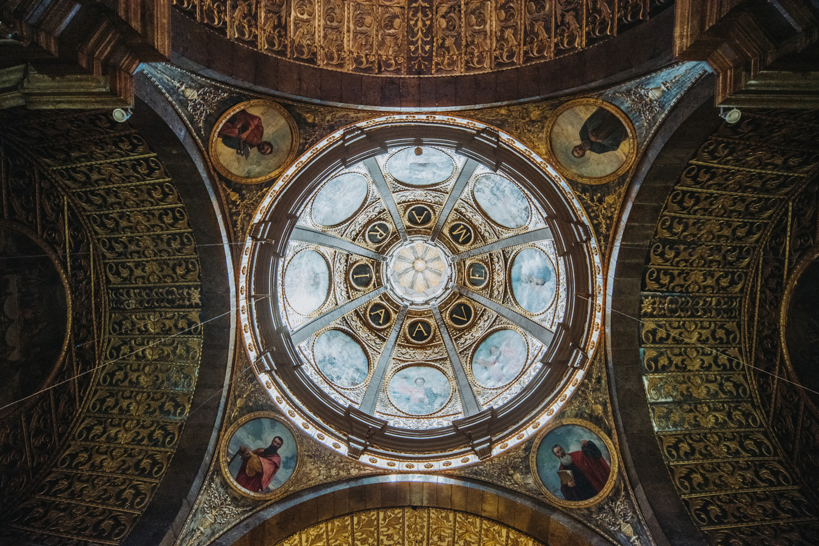
St. John’s Co Cathedral (35°53’51″N 14°30’45″E).
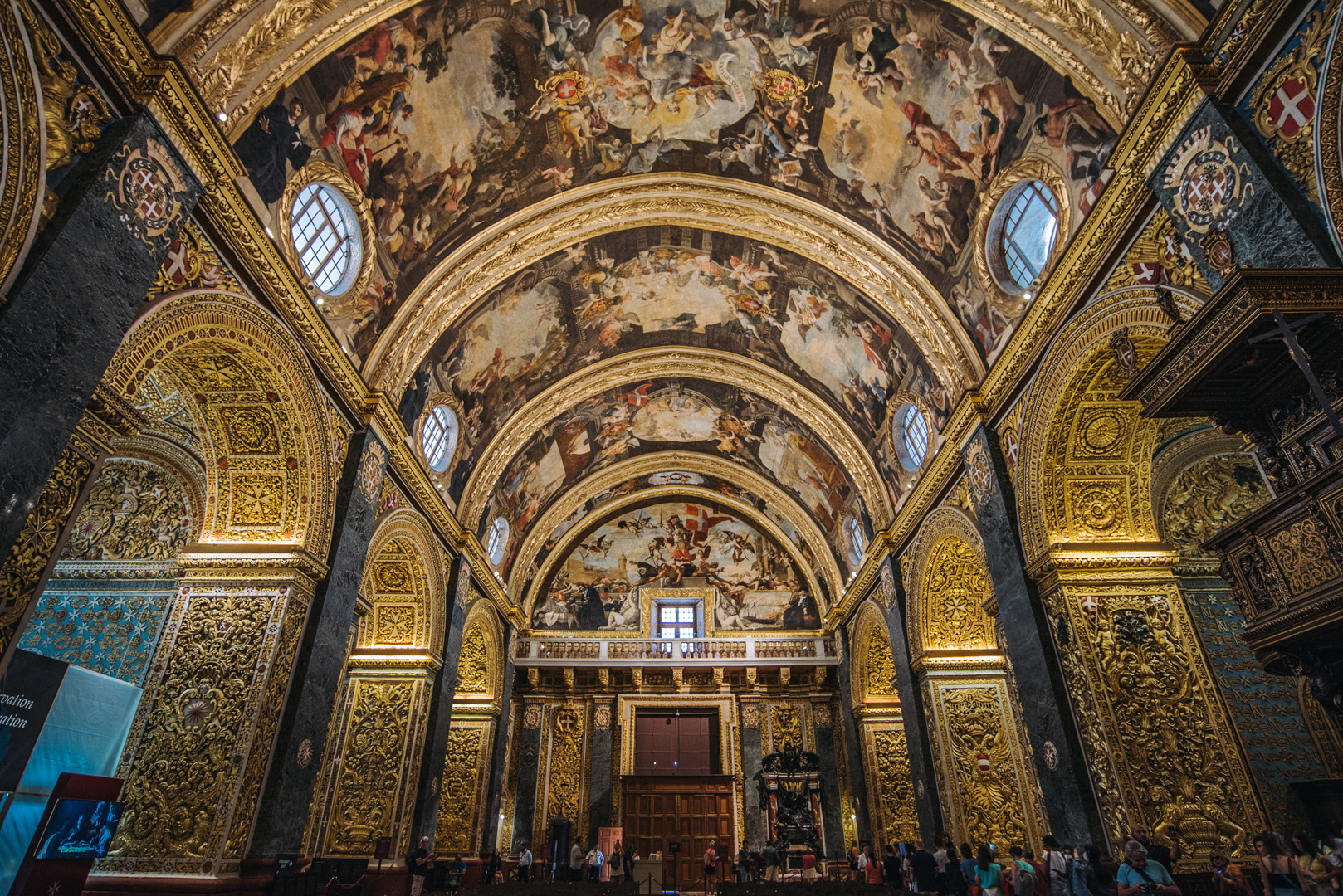
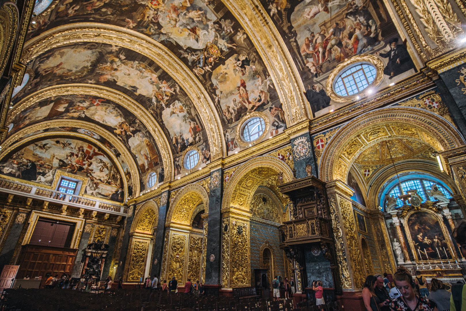
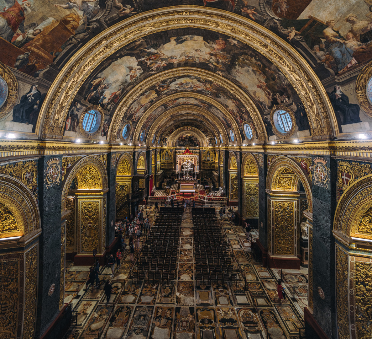
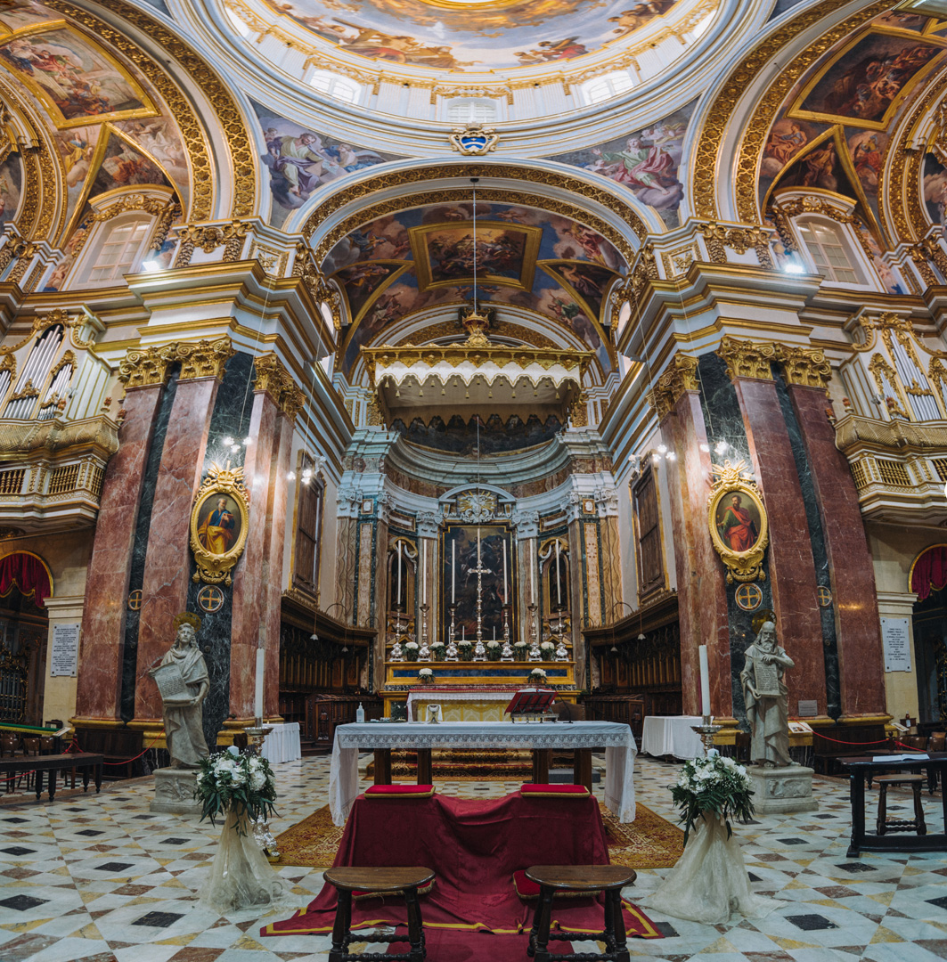
Side naves
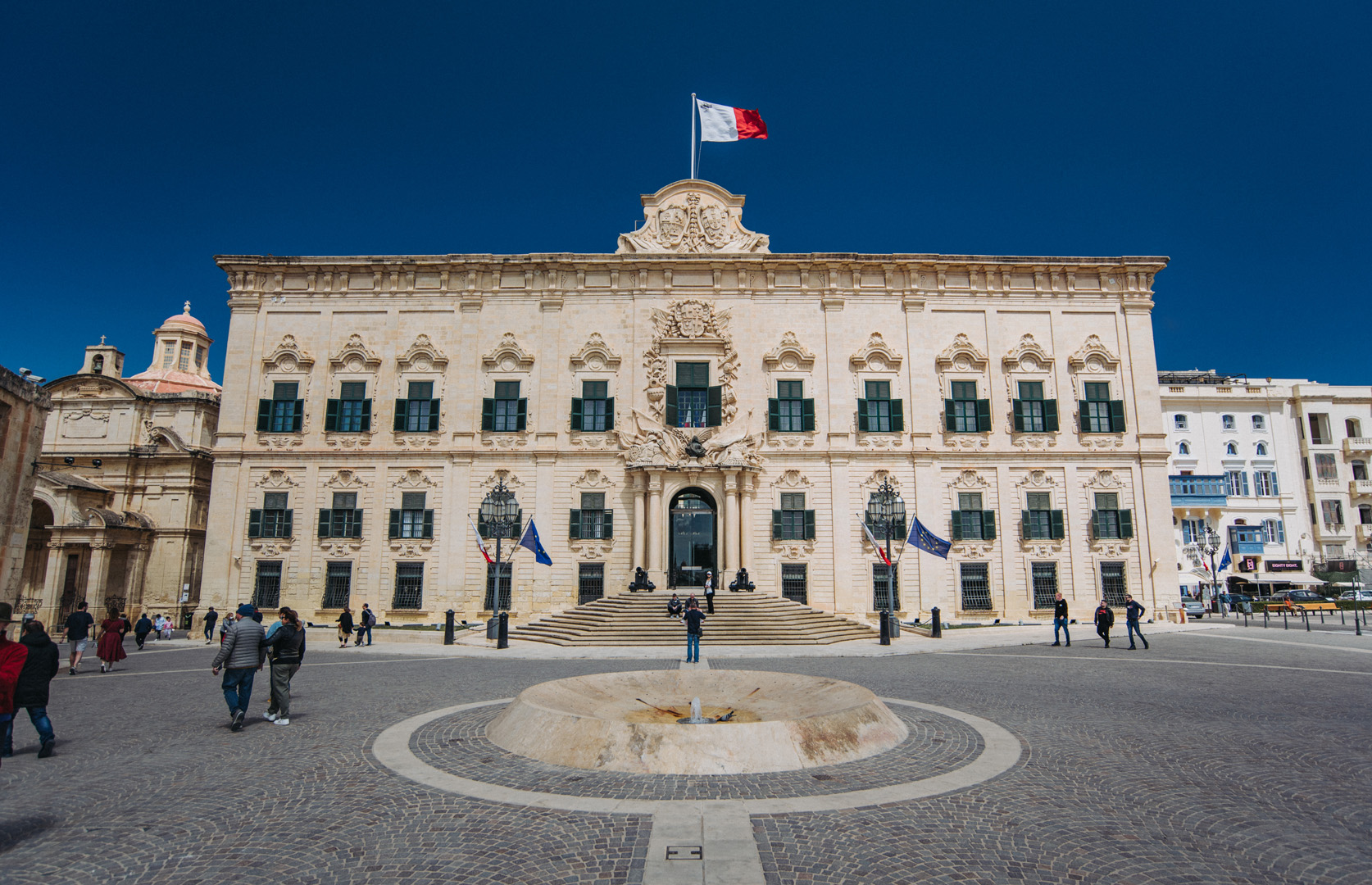
Berġa ta’ Kastilja (35°53’45″N 14°30’40″E) is an auberge with Castile Place in front of it.
Church of Our Lady of Victory in Valetta (35°53’45,5″N 14°30’39,5″E).
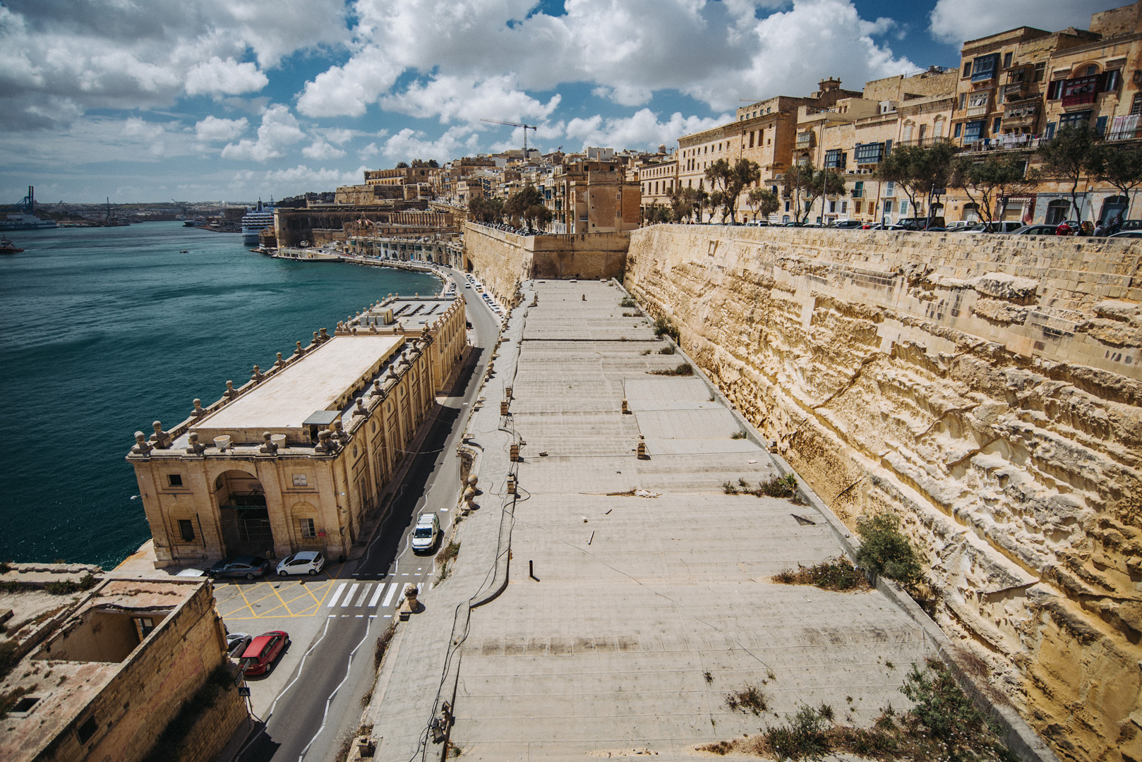
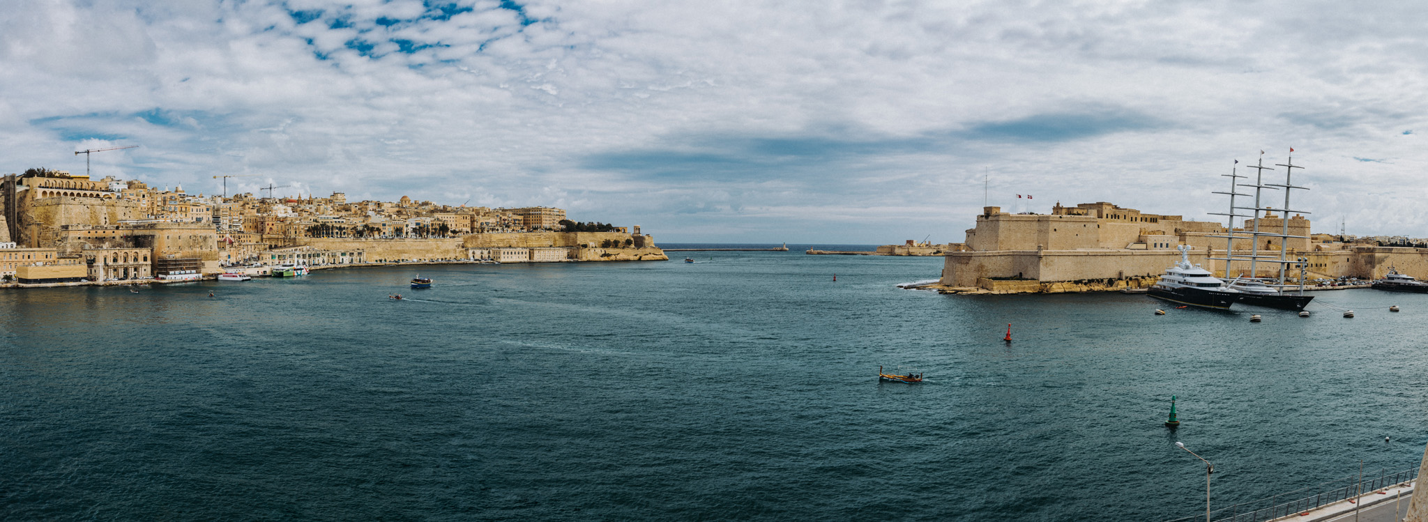
View on Bighi Bay from Ġnien il-Gardjola gardens (35°53’26,5″N 14°30’50,5″E). At left side Valetta is visible with Siege Bell War Memorial (35°53’51,4″ N 14°31’06″E) at the end (Fort St. Elmo at Valetta’s tip is not visible). On the right side closer is visible Fort St. Angelo (35°53’33″ N 14°31’03″E) and far in the background the tip of Fort Ricasoli (35°53’53″ N 14°31’30″E).
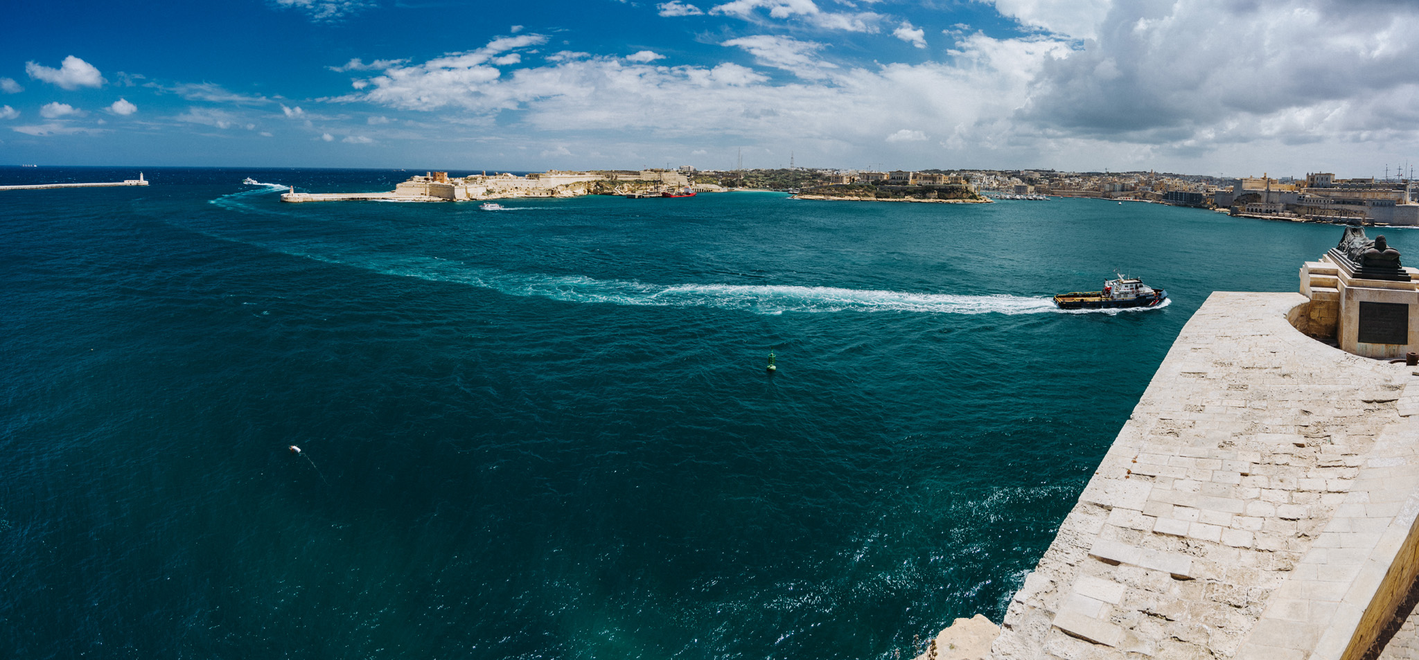
View on Fort Rikasoli from Lower Barrakka Gardens (35°53’51″ N 14°31’03″E).
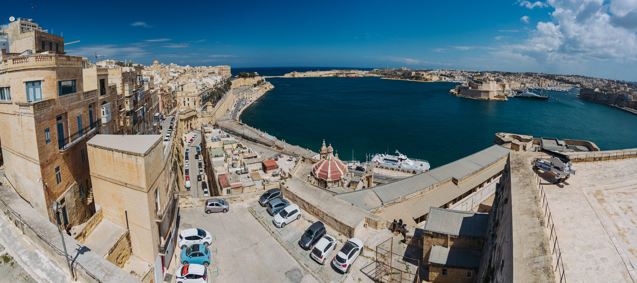
View from Upper Barrakka Gardens (35°53’42″ N 14°30’43″E) on Fort St. Angelo and Bighi bay.
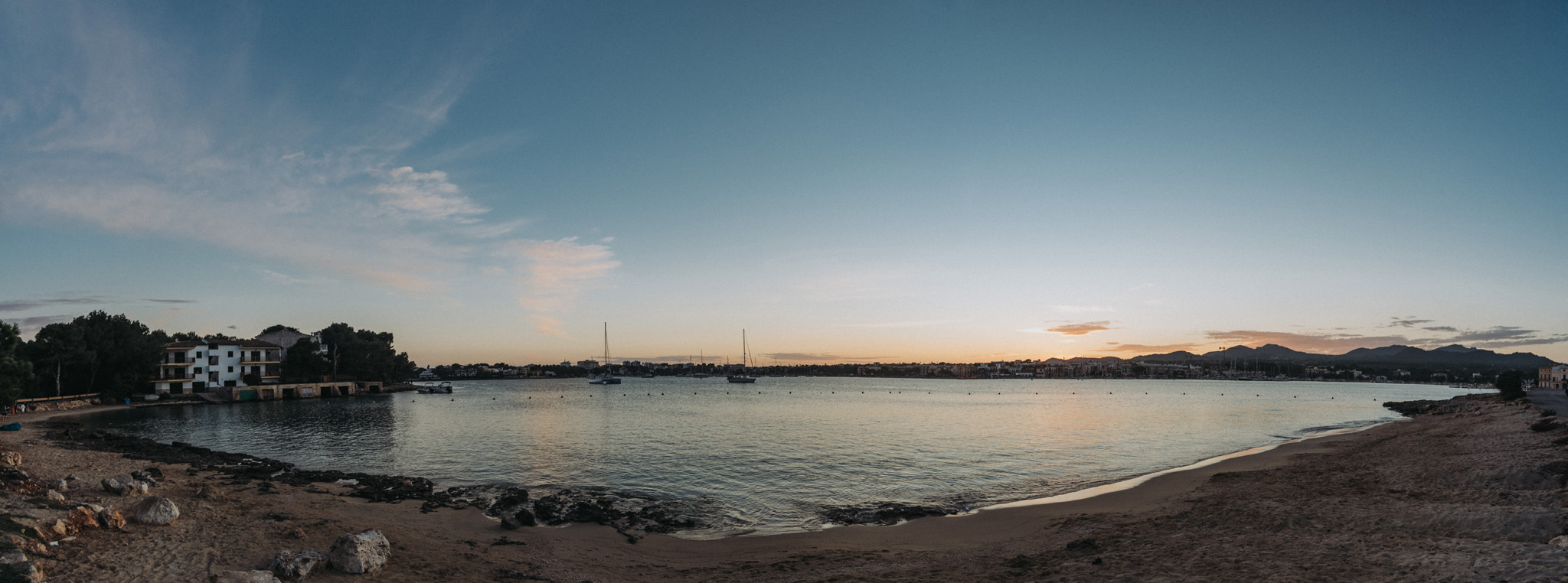
View on Il-Bajja ta’ Marsaskala bay in Marsaskala (35°51’52″ N 14°34’09″E).
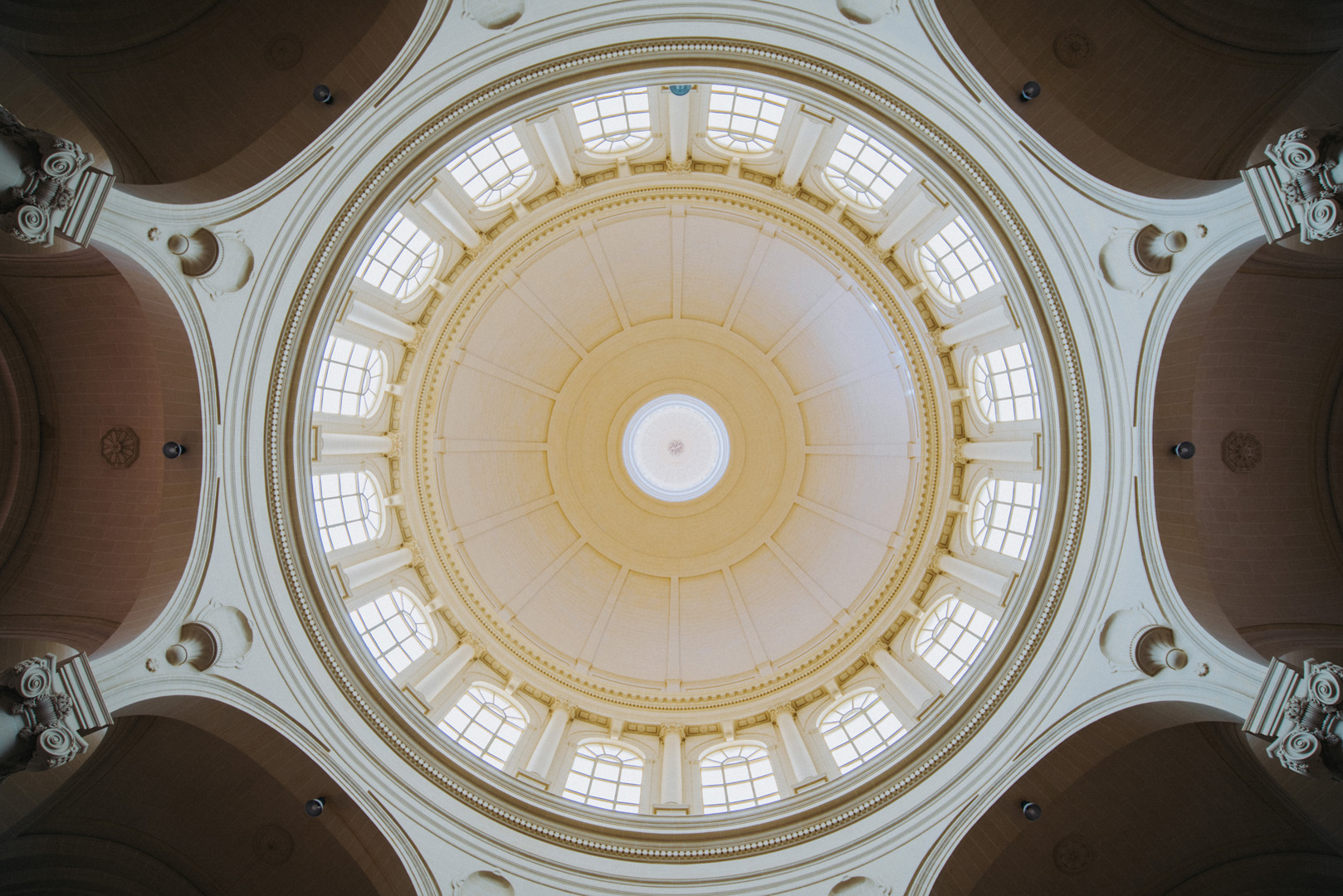
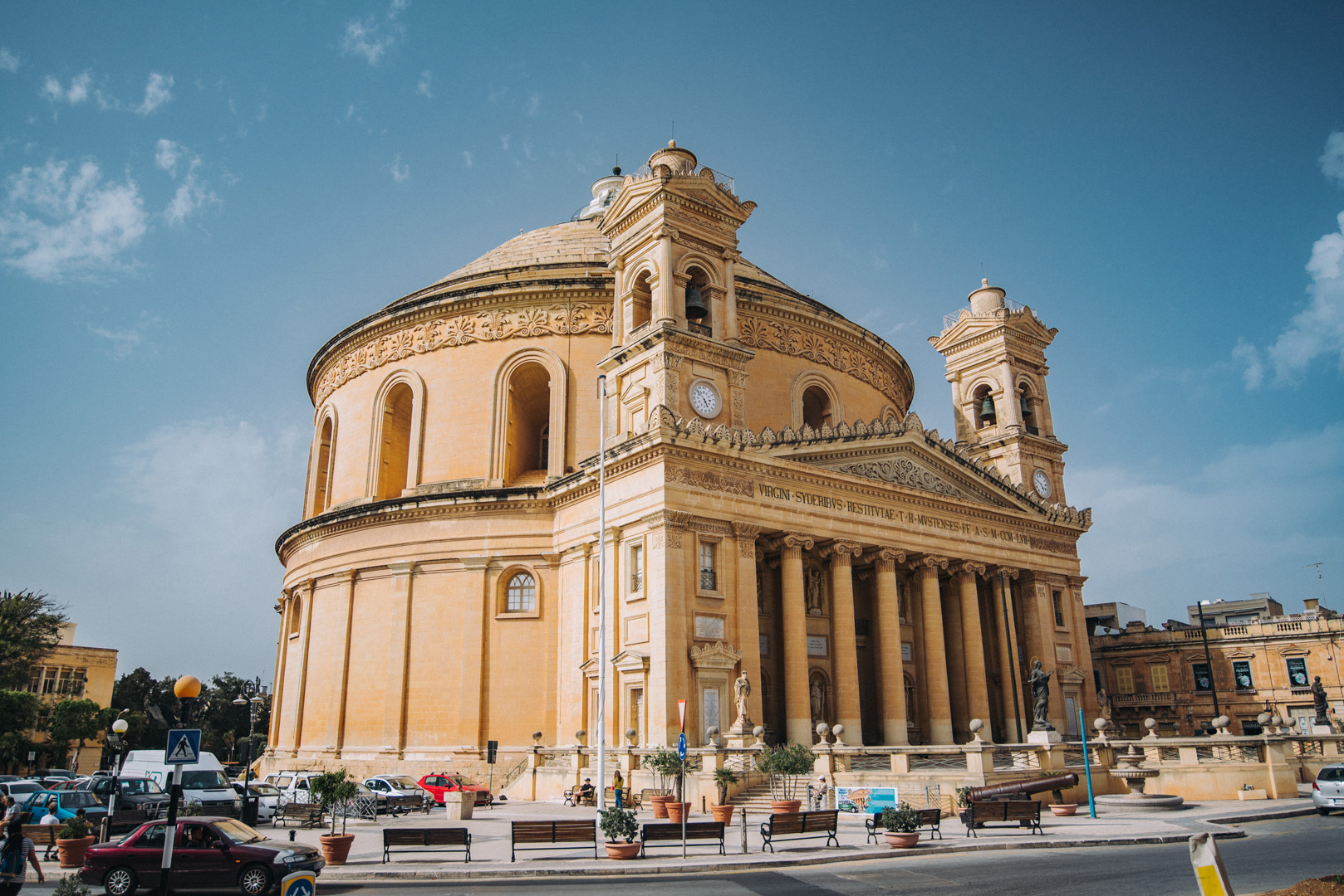
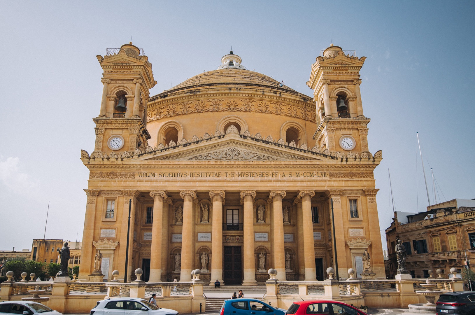
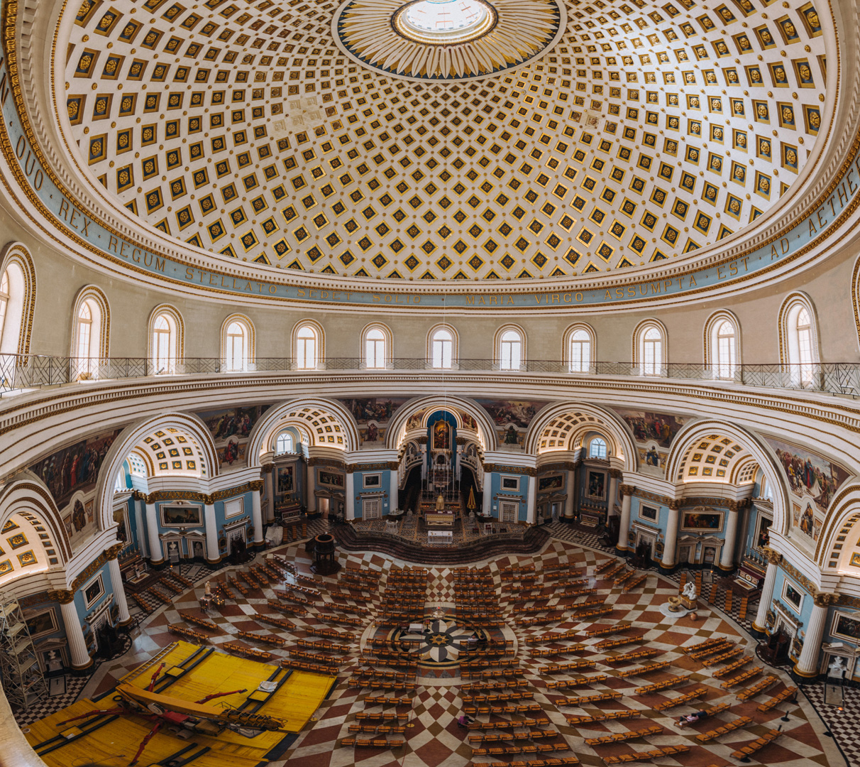
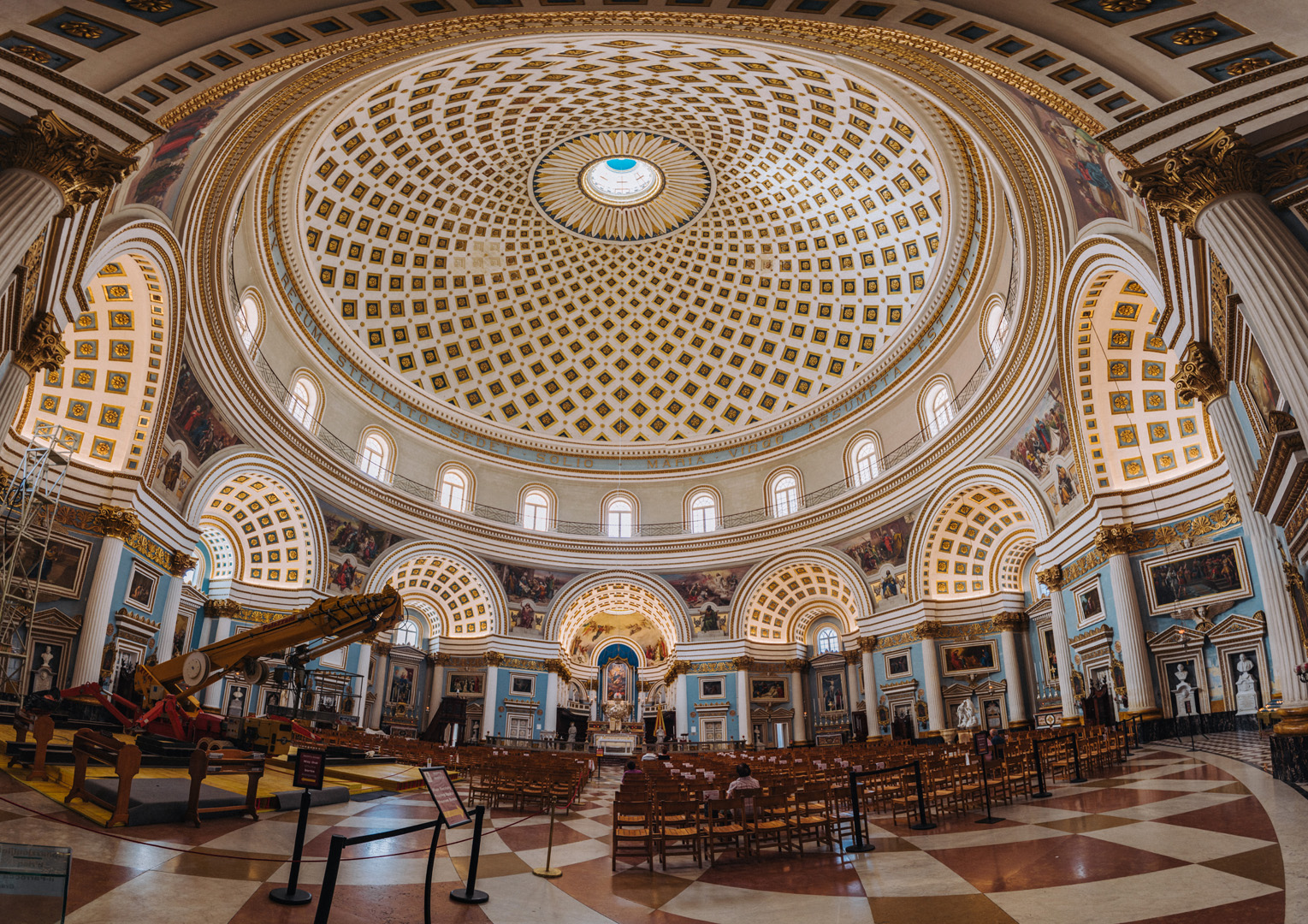
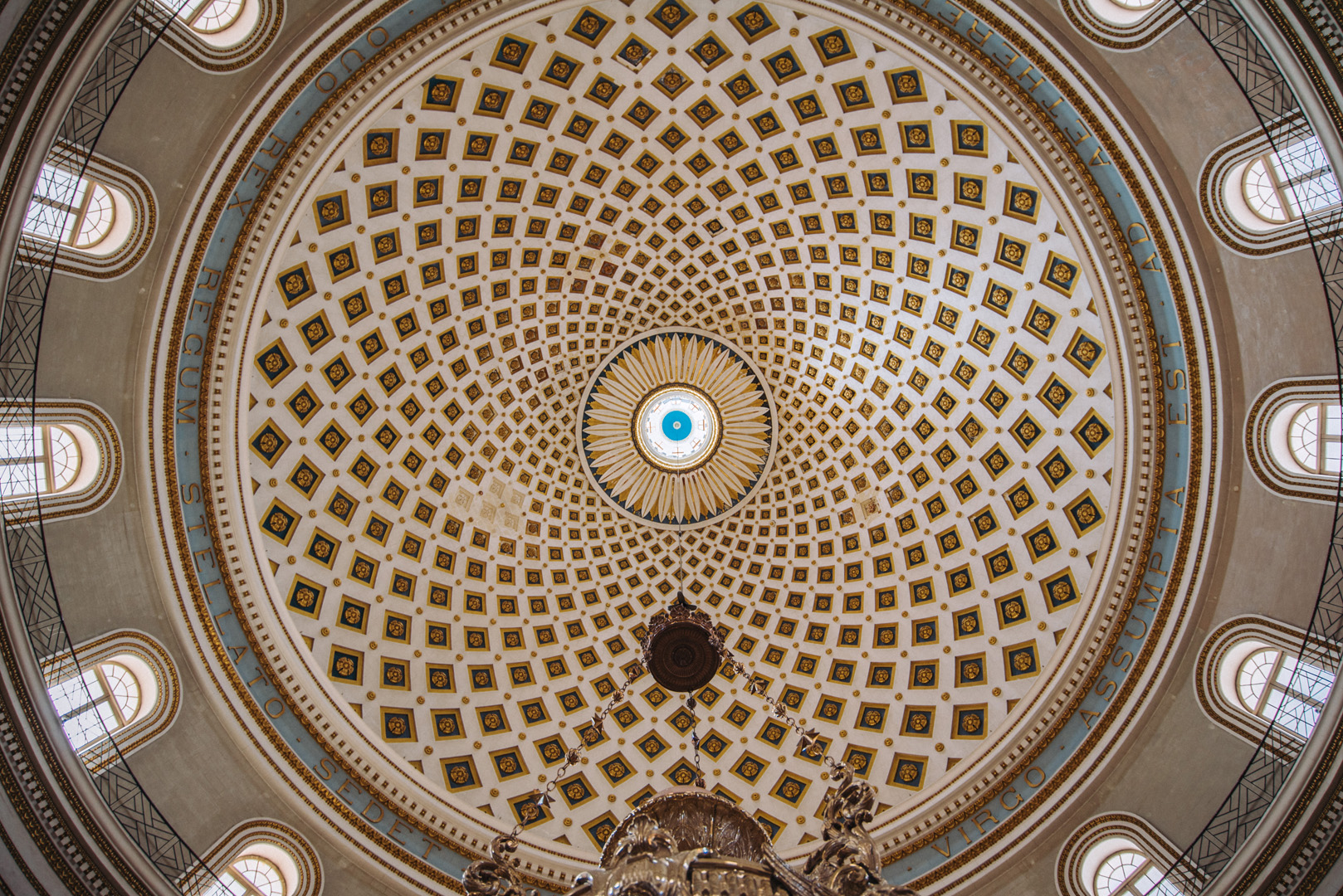
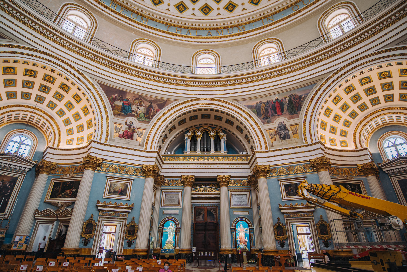
Rotunda of Mosta (35°54’36″ N 14°25’33″E).
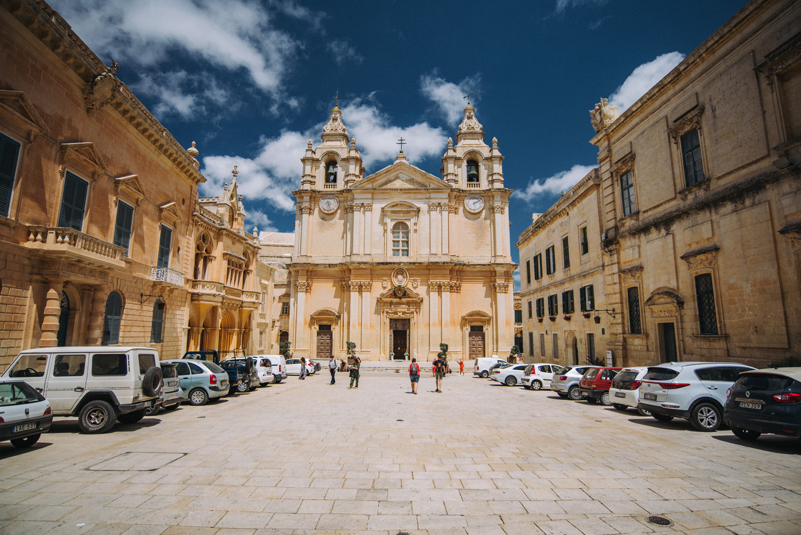
St. Paul’s Cathedral (35°53’11″ N 14°24’14″E) in Mdina.
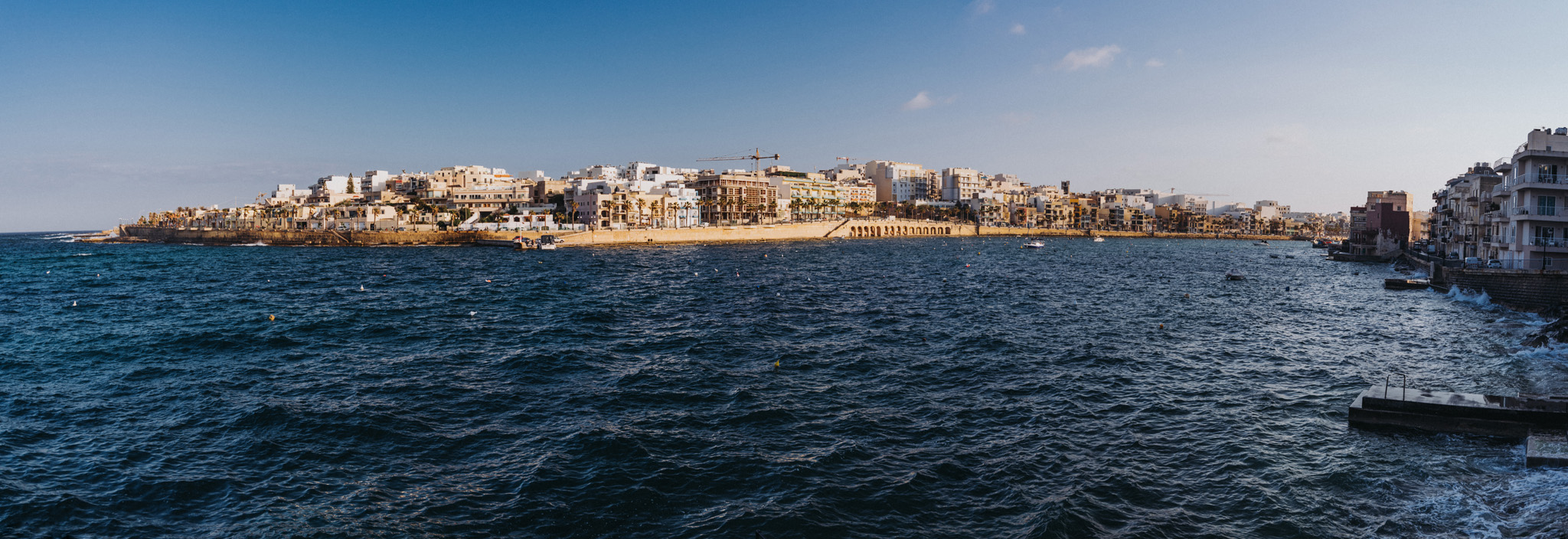
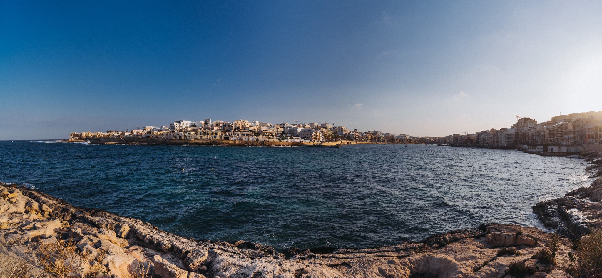
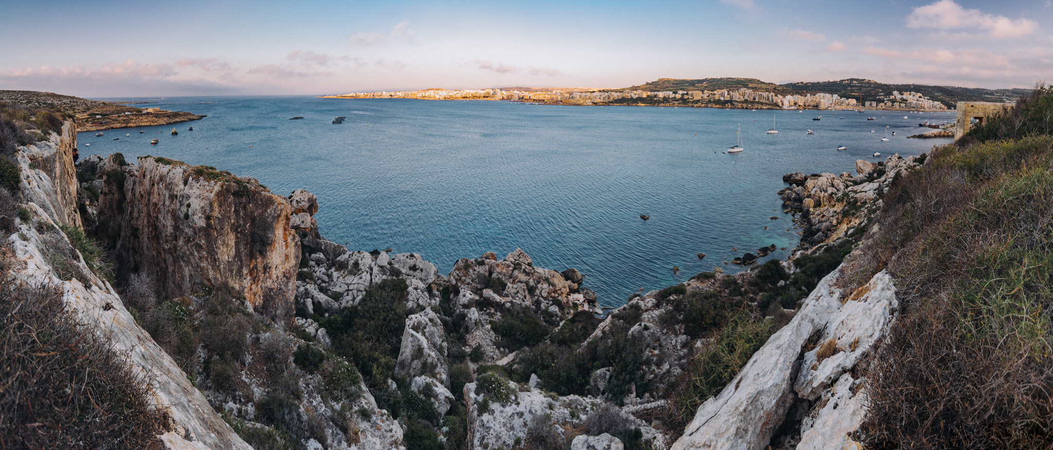
View on Benuarrat bay (35°57’11″ N 14°25’44″E) and Qawra (35°57’17″ N 14°25’17″E) from nearby of Challis Tower (35°57’12″ N 14°26’04″E).
View on Qalet Marku bay from nearby road.
Madliena tower (35°56’11″ N 14°28’23″E).
View on Marku Shoal bay (35°56’31″ N 14°27’59″E) from Madliena tower.
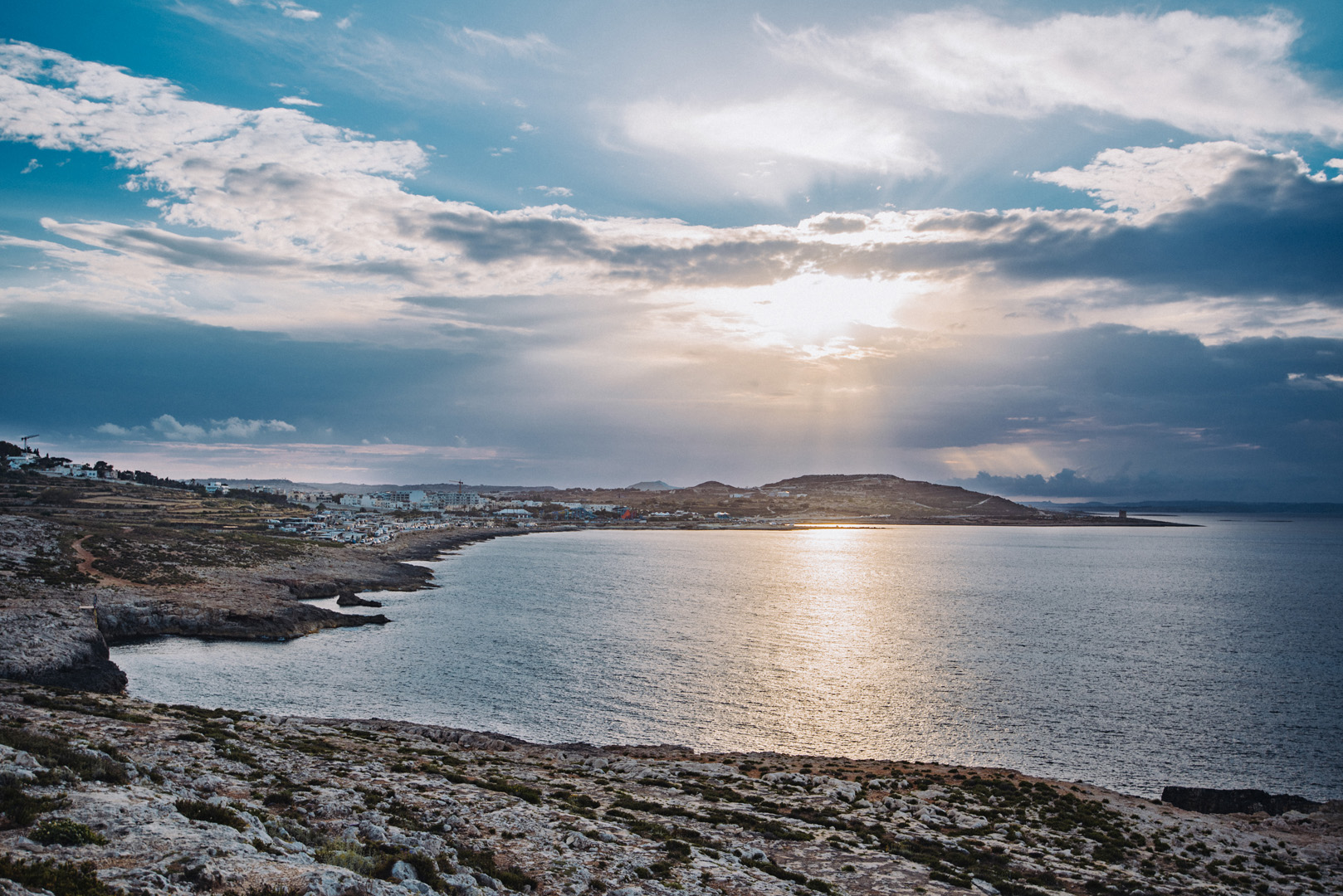
View on Bugibba (35°56’57″ N 14°24’37″E) from around Il-Hofra (35°57’23″ N 14°23’26″E).
Mistra Bay (35°57’30″ N 14°23’29″E), in the background visible Bugibba.
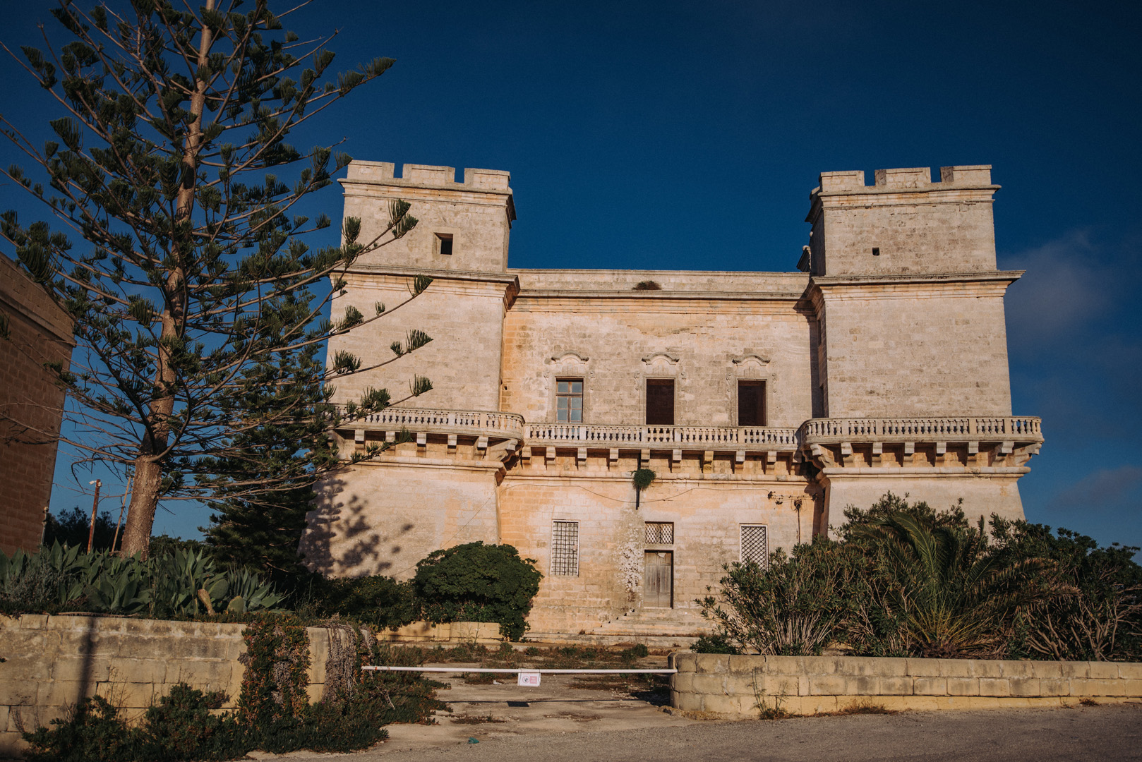
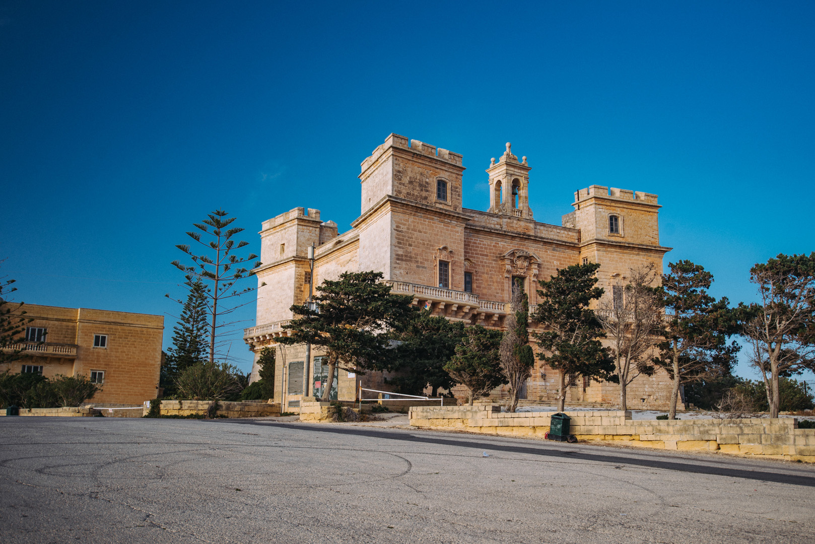
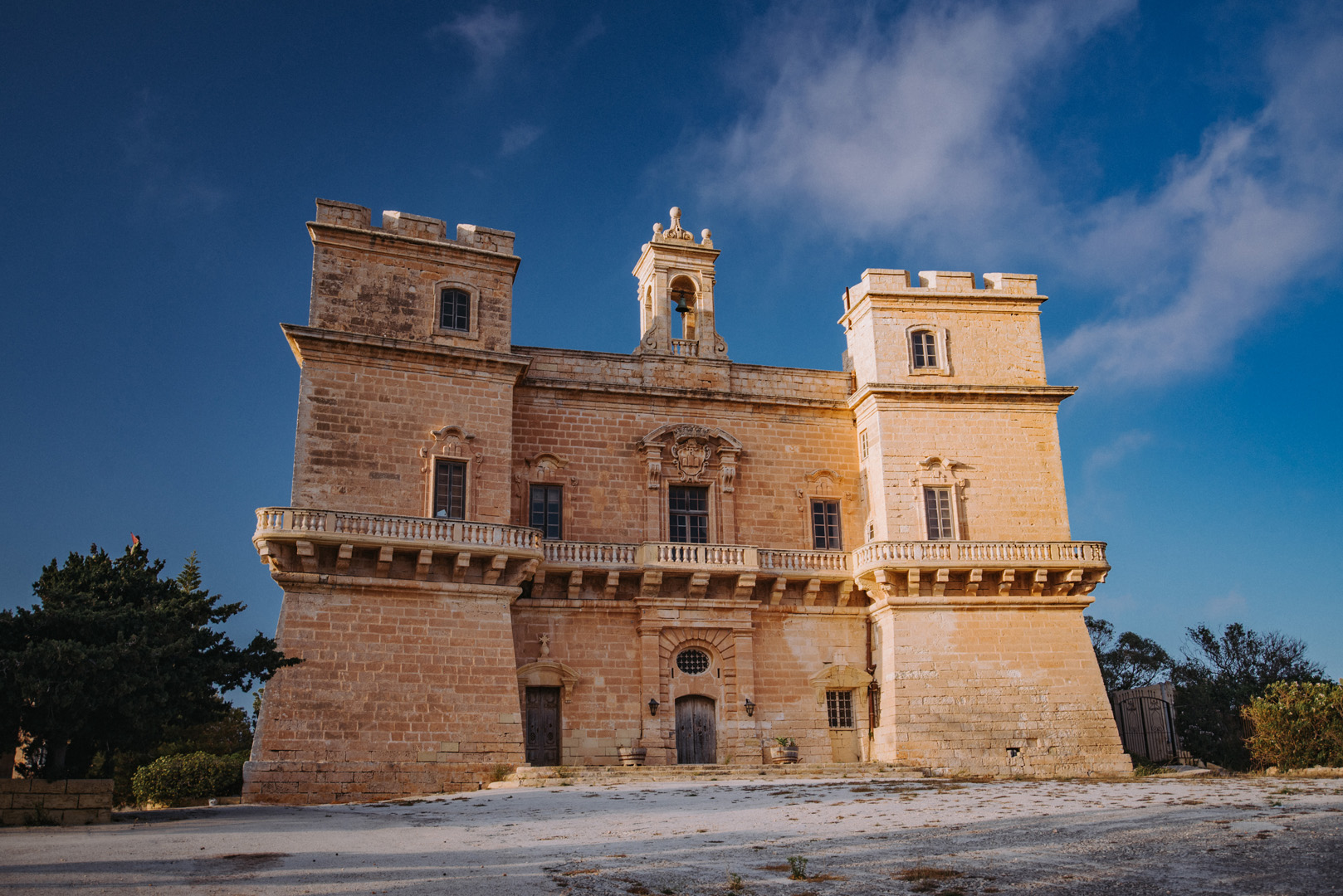
Selmun Palace (35°57’33″ N 14°22’53″E).
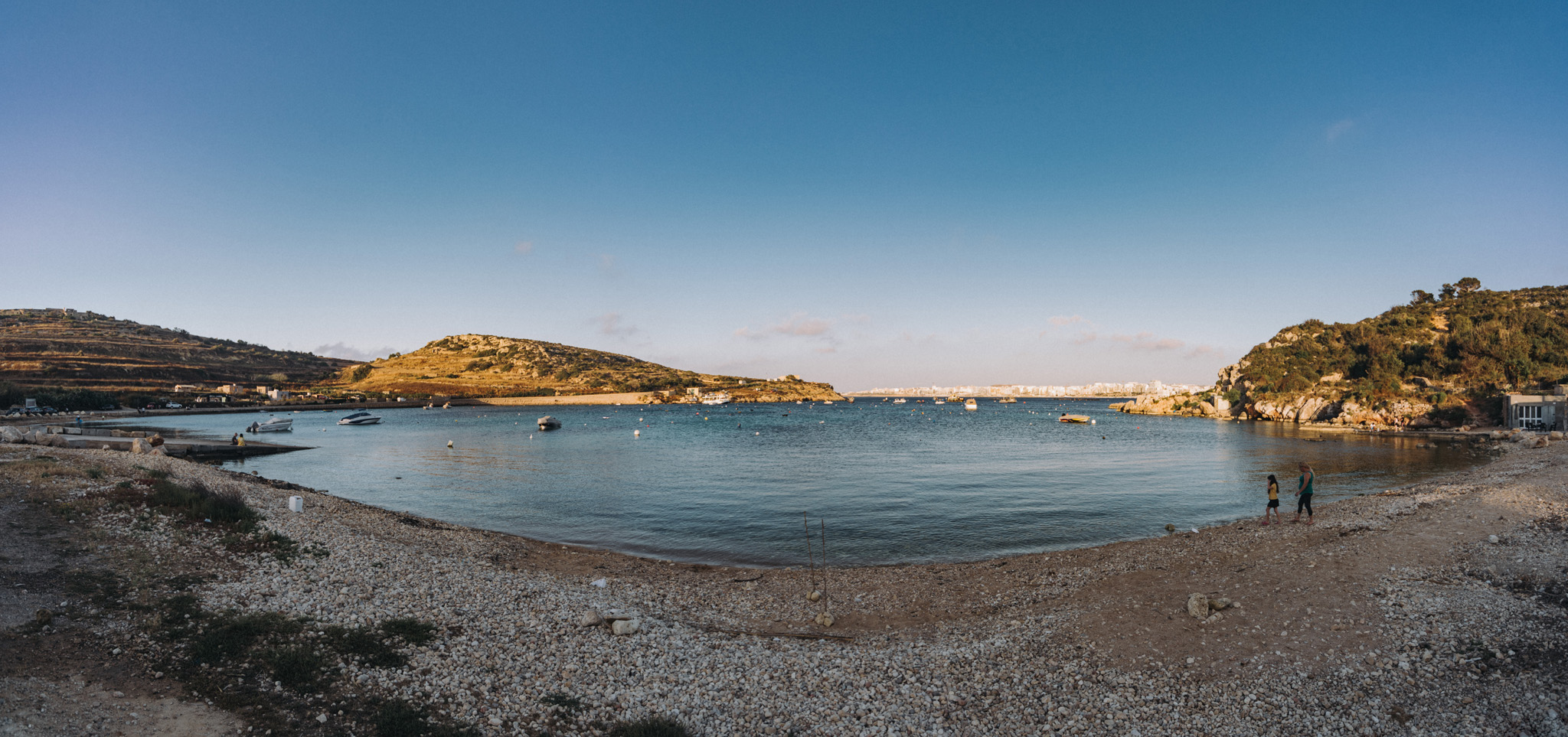
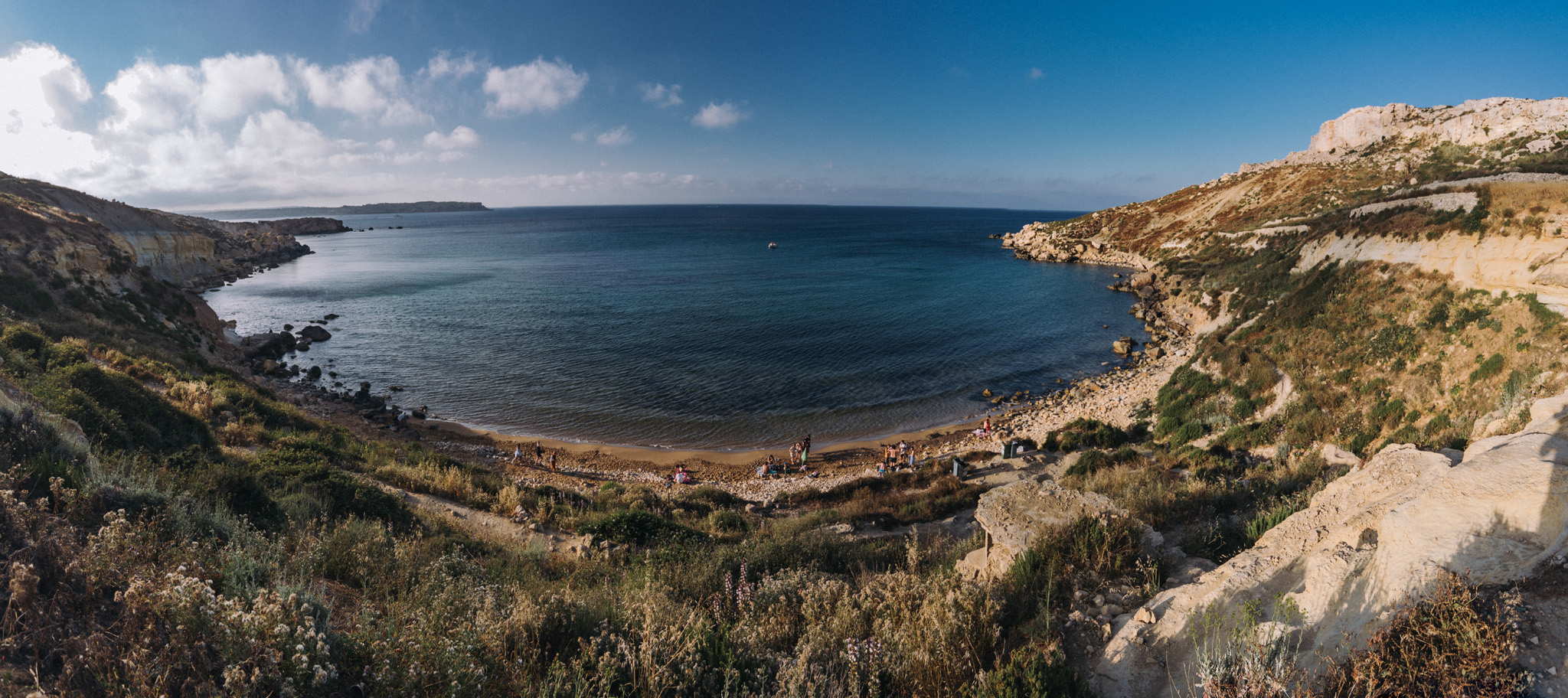
View on Imgiebah Bay (35°58’04″ N 14°22’55″E).
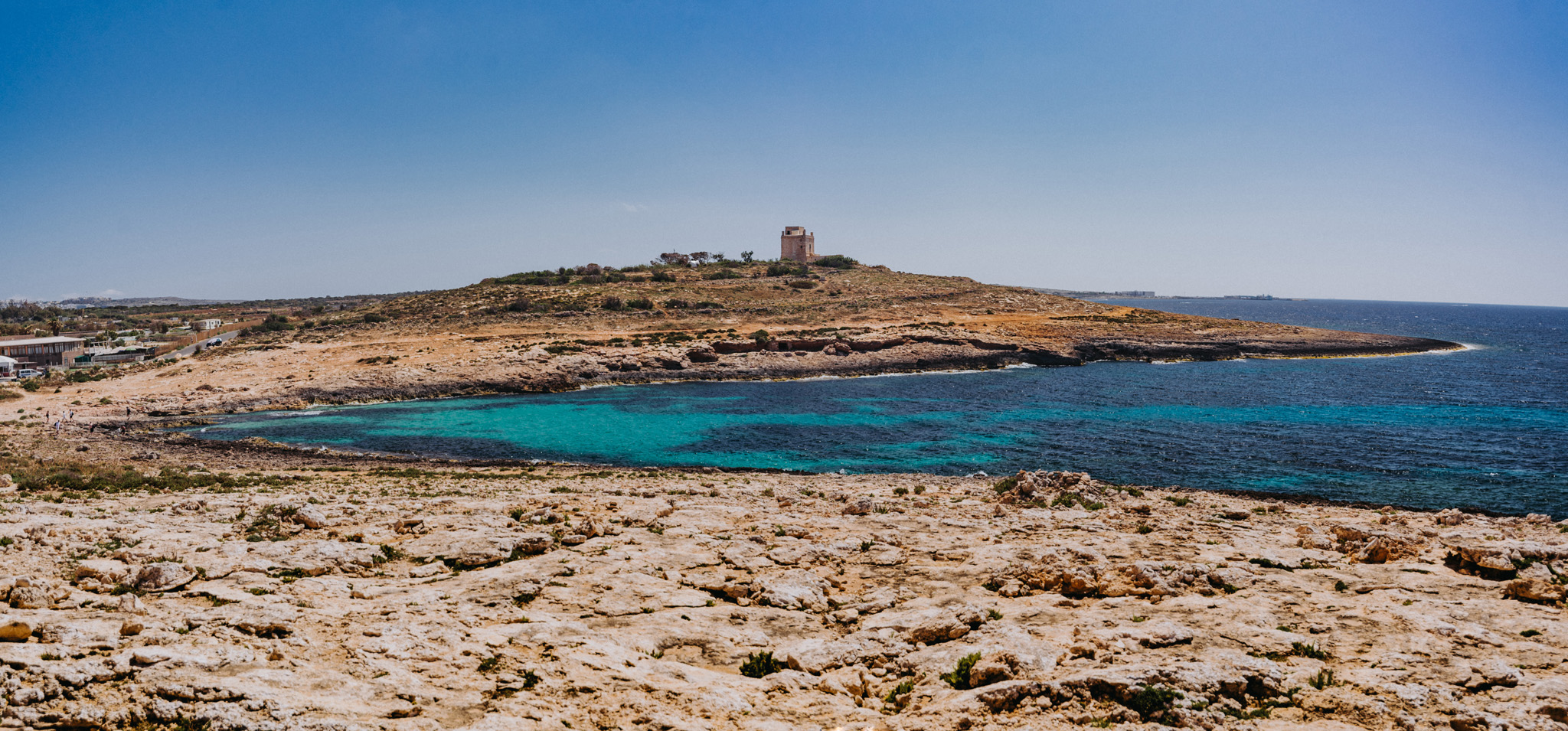
White Tower (35°59’43″ N 14°21’52″E) seen from the around of the Coral lagoon (35°59’52″ N 14°22’03″E).
View on L-Armier (35°59’29″ N 14°21’48″E) from White Tower.
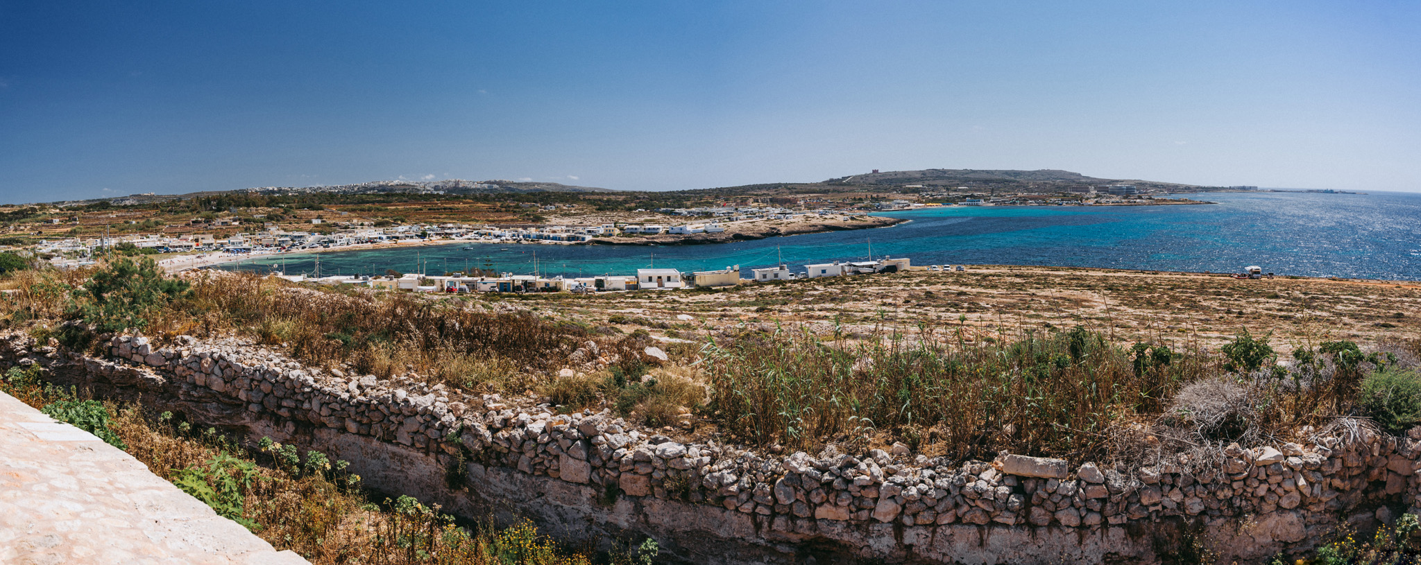
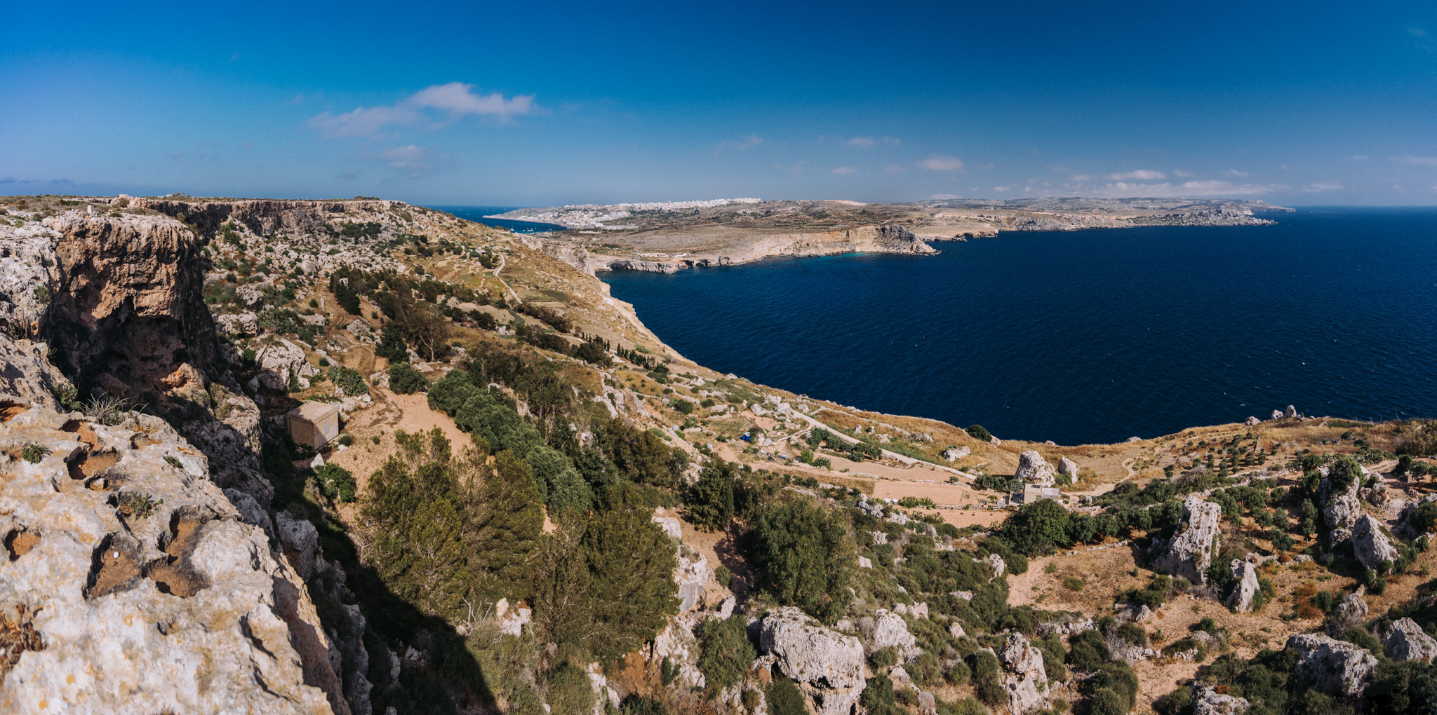
View on Ras in-Niexfa Bay (35°57’56″ N 14°19’59″E) from around Radar station (35°58’18″ N 14°19’29″E). Popeye Village is slightly to the left from center of the image, but not visible.
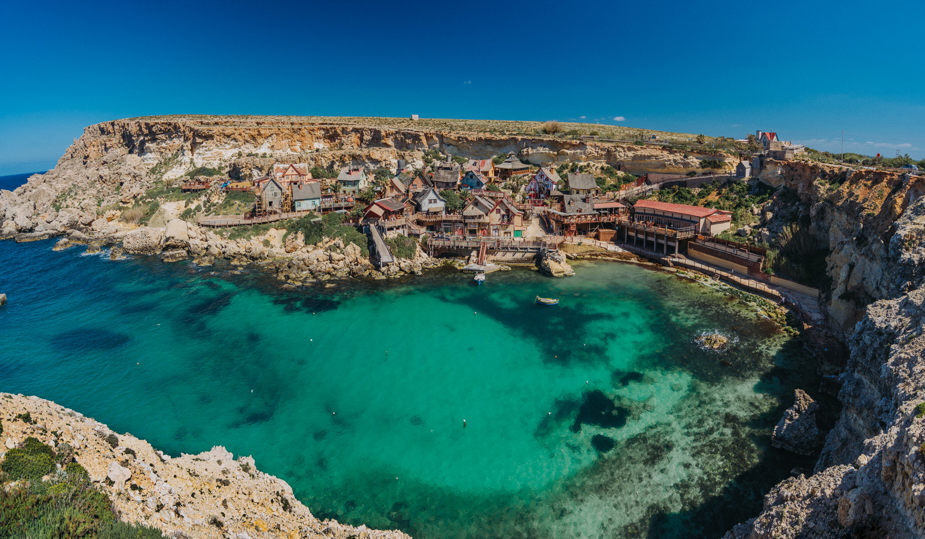
Popeye Village (35°57’39″N 14°20’28″E) was built in 1979 for the purpose of filming the movie Popeye. Now it is a theme park.
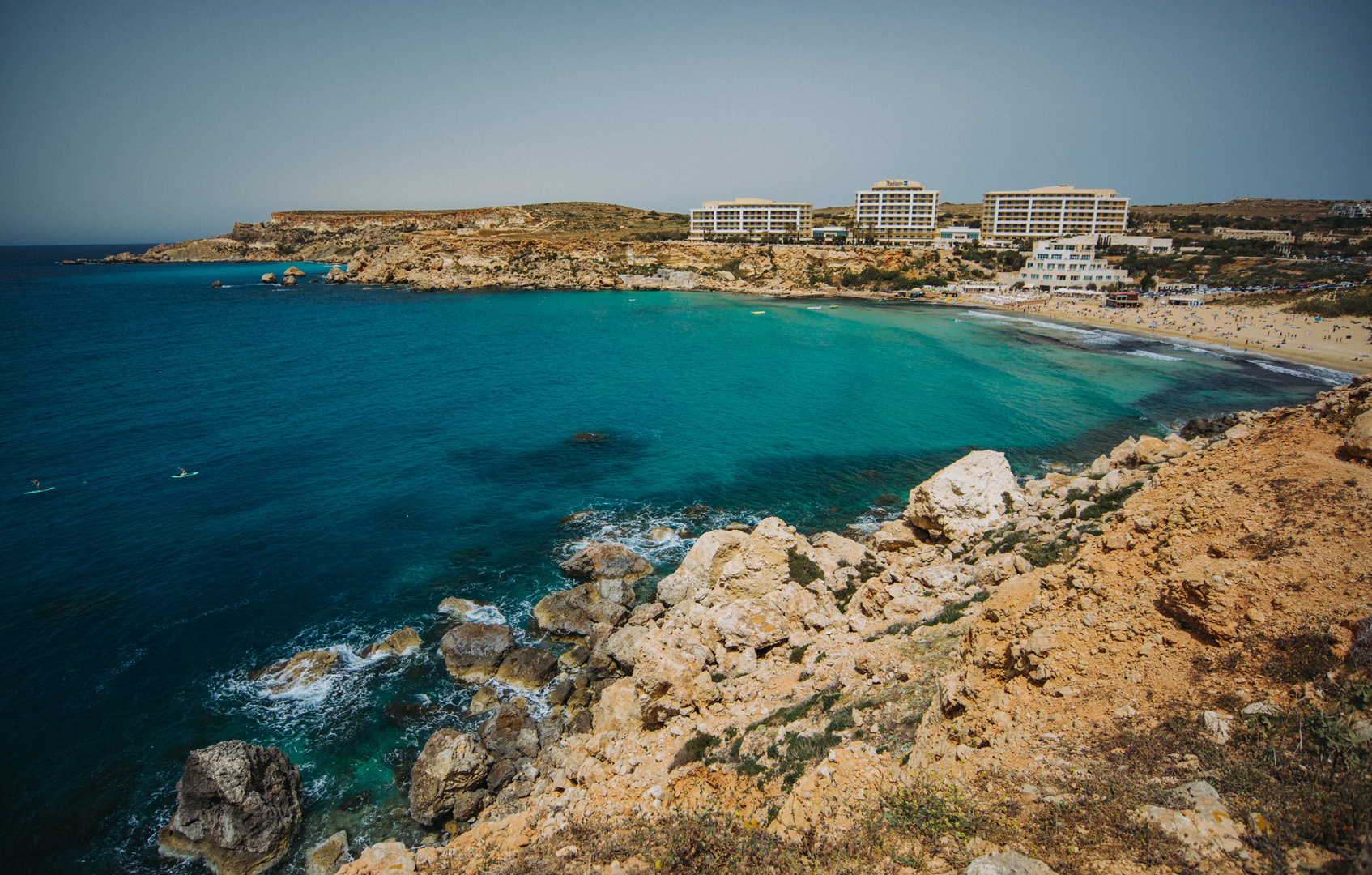
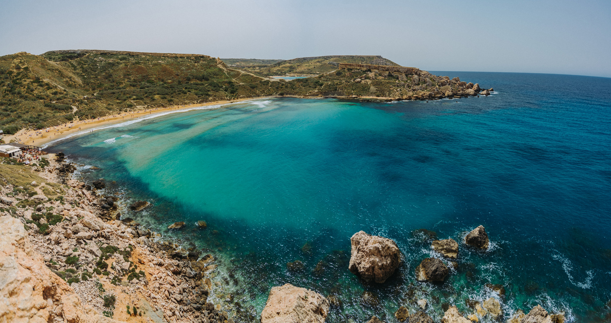
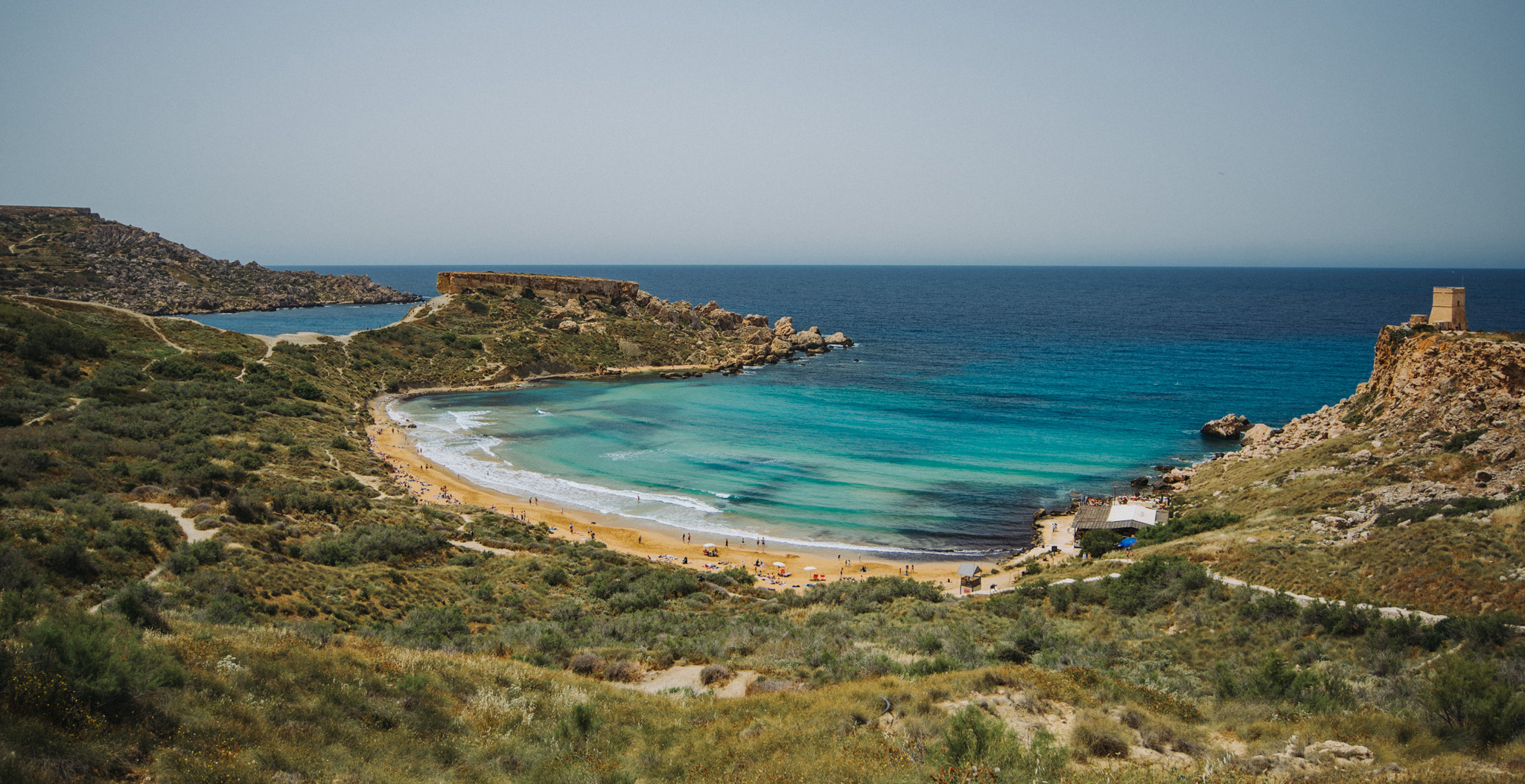
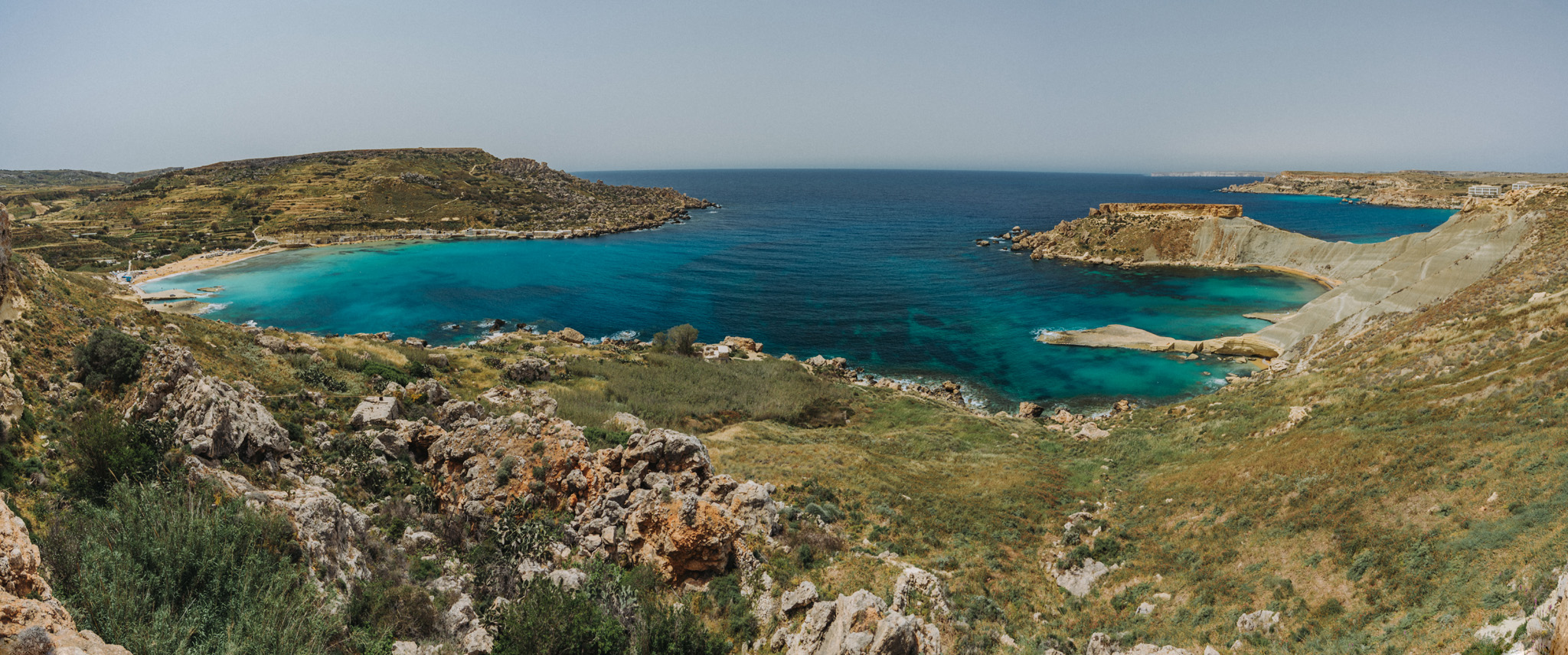
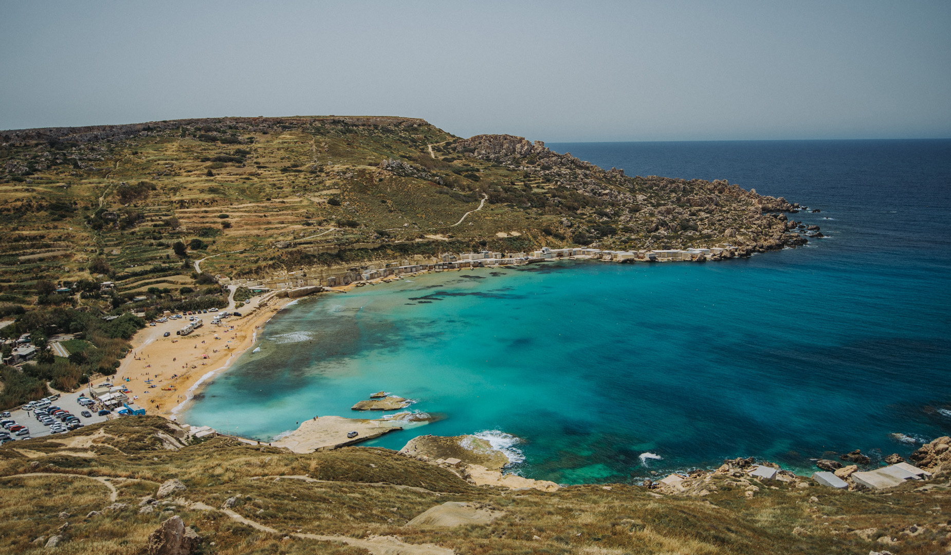
Golden Bay beach (35°56’02″N 14°20’40″E).
Next to Golden Bay beach is Għajn Tuffieħa beach (35°55’44″N 14°20’41″E), one of the most popular beaches on Malta.
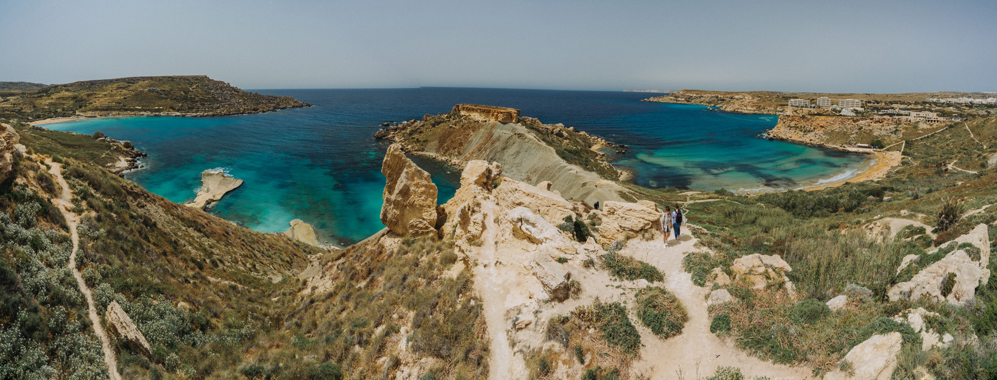
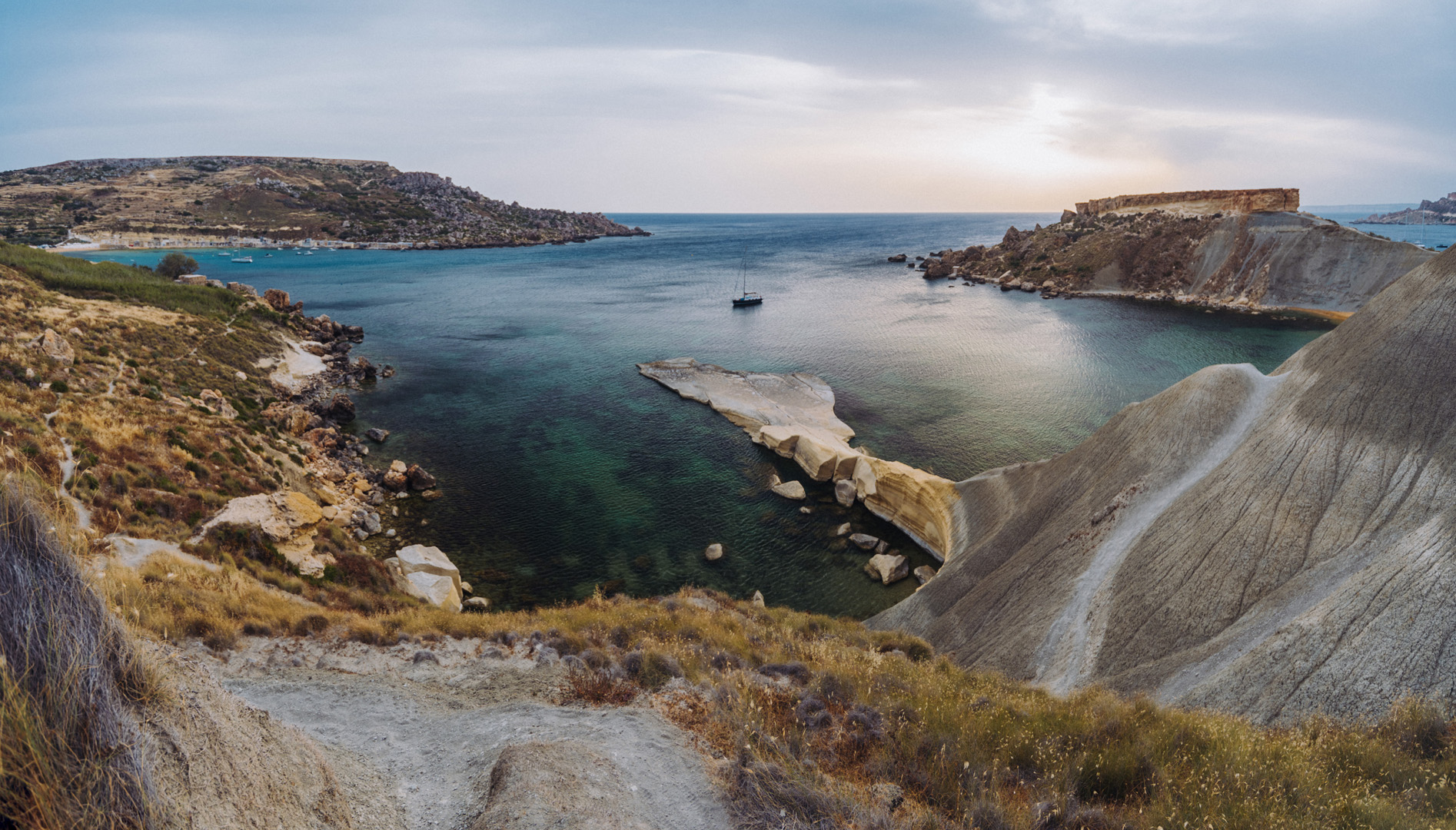
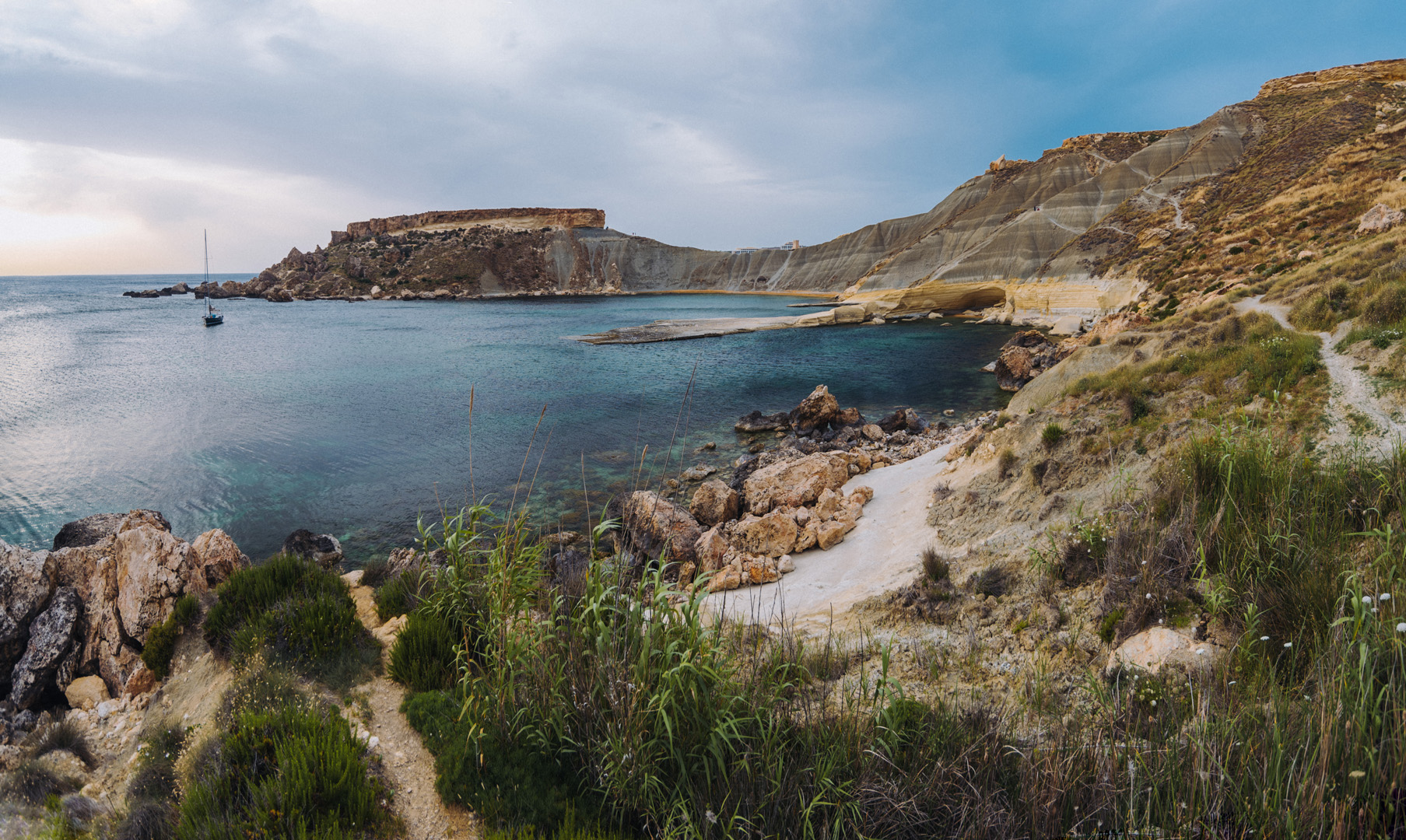
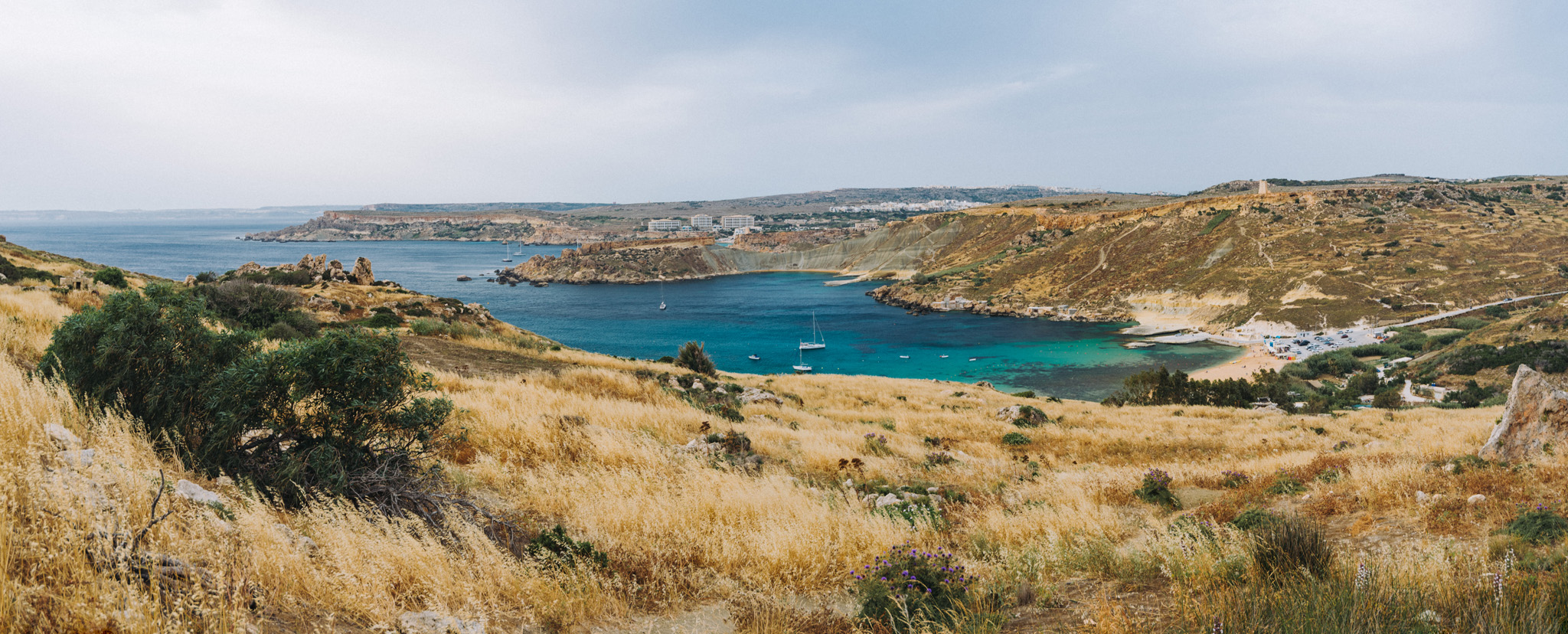
A peninsula between Għajn Tuffieħa and Il-Ġnejna beaches.
Il-Ġnejna beach (35°55’13″N 14°20’36″E).
View on Fomm ir-Riħ Beach (35°54’24″ N 14°20’28″E) from viewpoint (35°54’29,5″ N 14°20’33″E).
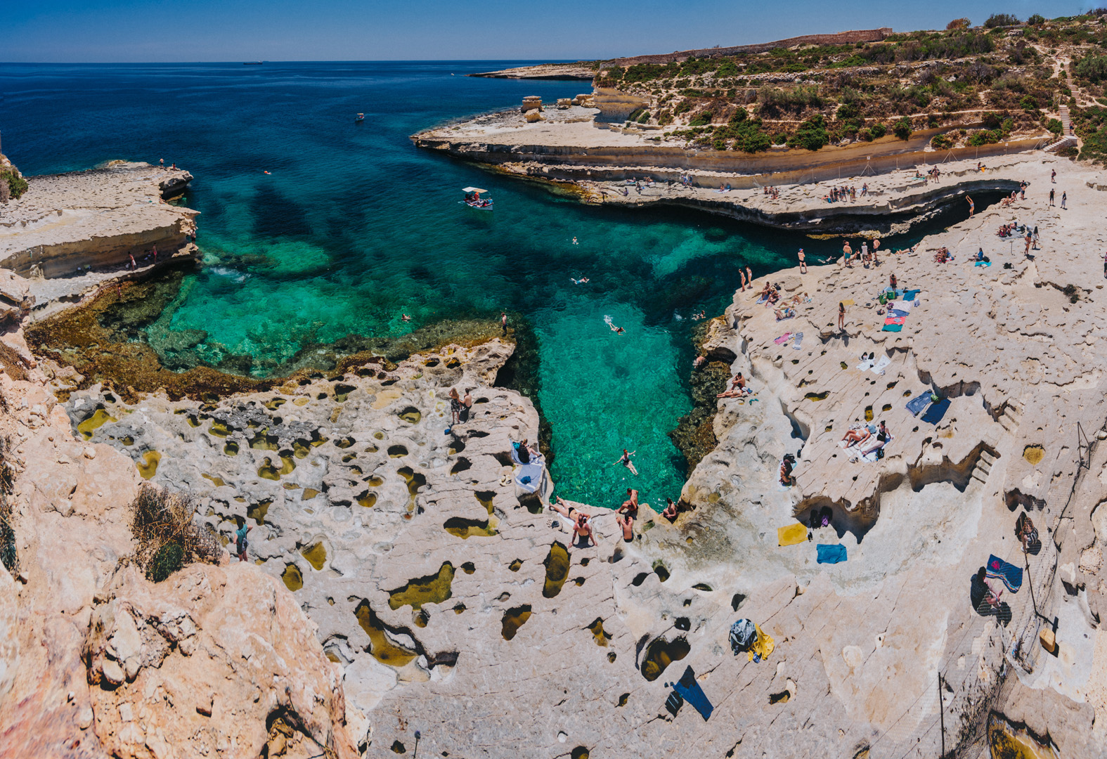
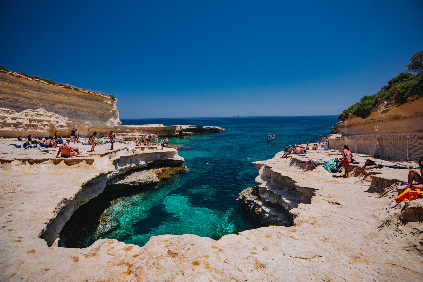
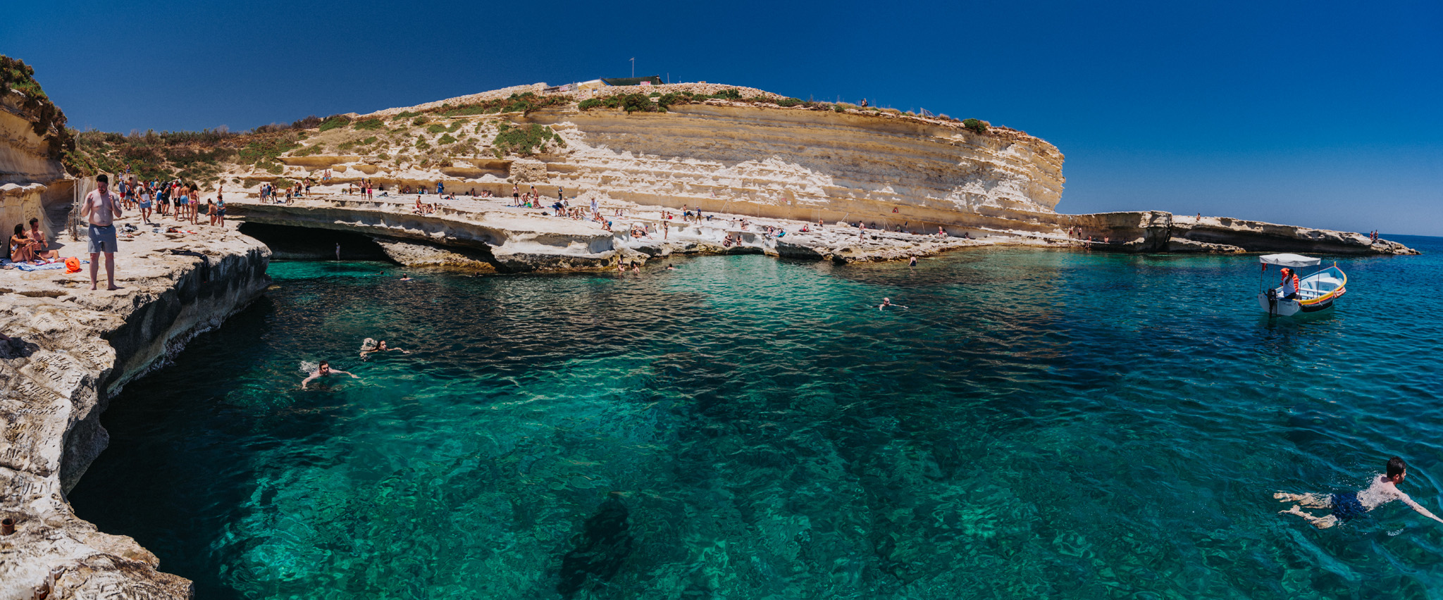
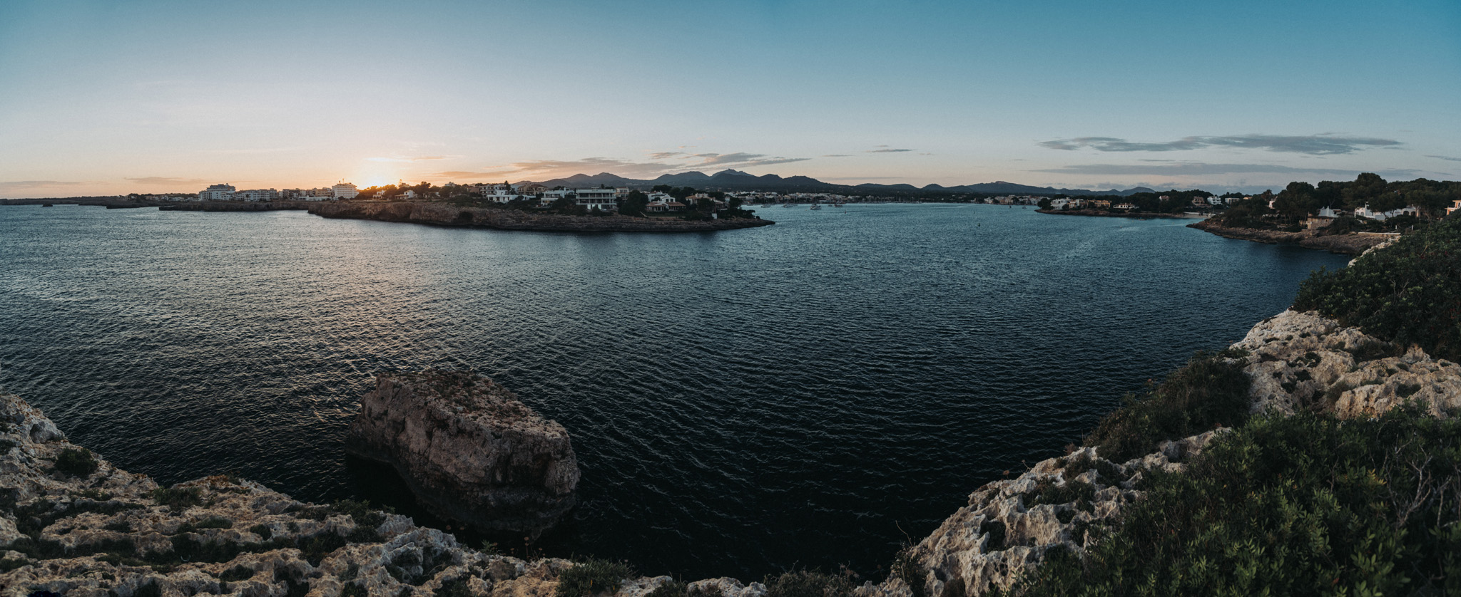
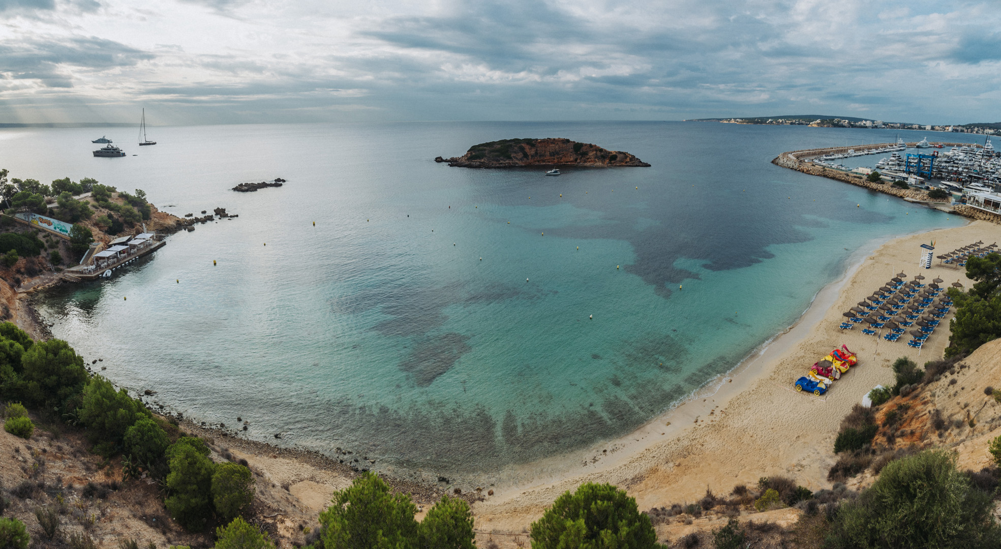
St. Peter’s pool (35°49’59″ N 14°33’44″E) is a nice natural pool formed by rocks, it’s a very popular place among young people.
View on Il-Ħofra ż-Żgħira bay (35°50’13″ N 14°33’42″E).
View on Il-Ħofra l-Kbira bay (35°50’26″ N 14°33’55″E).
Majorka jest największą wyspą Balearów, zamieszkuje ją ponad 900 tysięcy mieszkańców. Majorka kojarzy się głównie z plażami i imprezami, ale na tej wyspie jest wiele innych ciekawych miejsc.
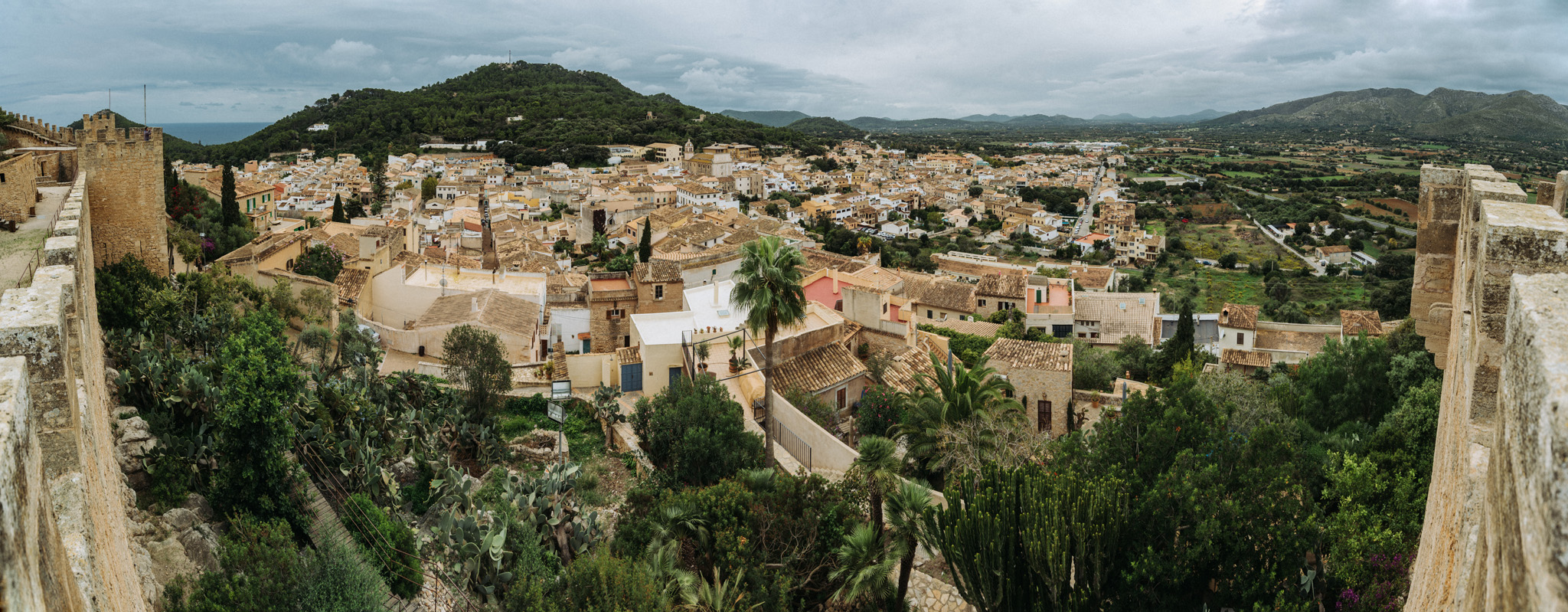
W Capdepera znajduje się zamek (39°42’16″N 3°25’59″E) z ładnym widokiem na miasto oraz przylądek z latarnią (39°42’56″N 3°28’39″E) z ładnymi widokami.
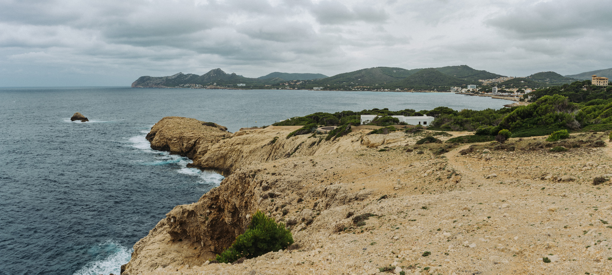
Widok z Talaia de Son Jaumell (39°44’18″N 3°27’05″E) na Punta des Gullo (ten mniejszy półwysep) i miasto Capdepera.
Panorama 360° z Punta des Gullo (39°43’40″N 3°27’23″E). Skrajnie z obu stron widać kamienną część półwyspu, po której można się dostać na sam koniec, w środku widać szczyt Talaia de Son Jaumell, po prawej stronie widać półwysep, na którym znajduje się miasto Capdepera.
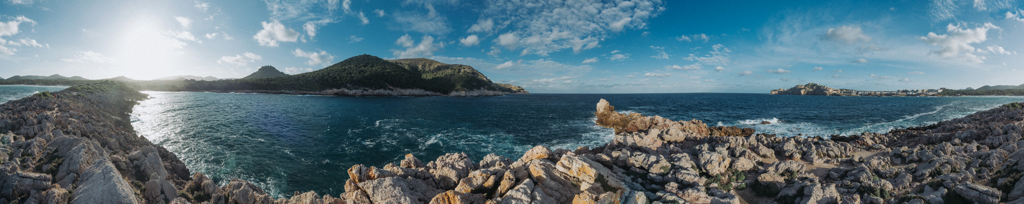
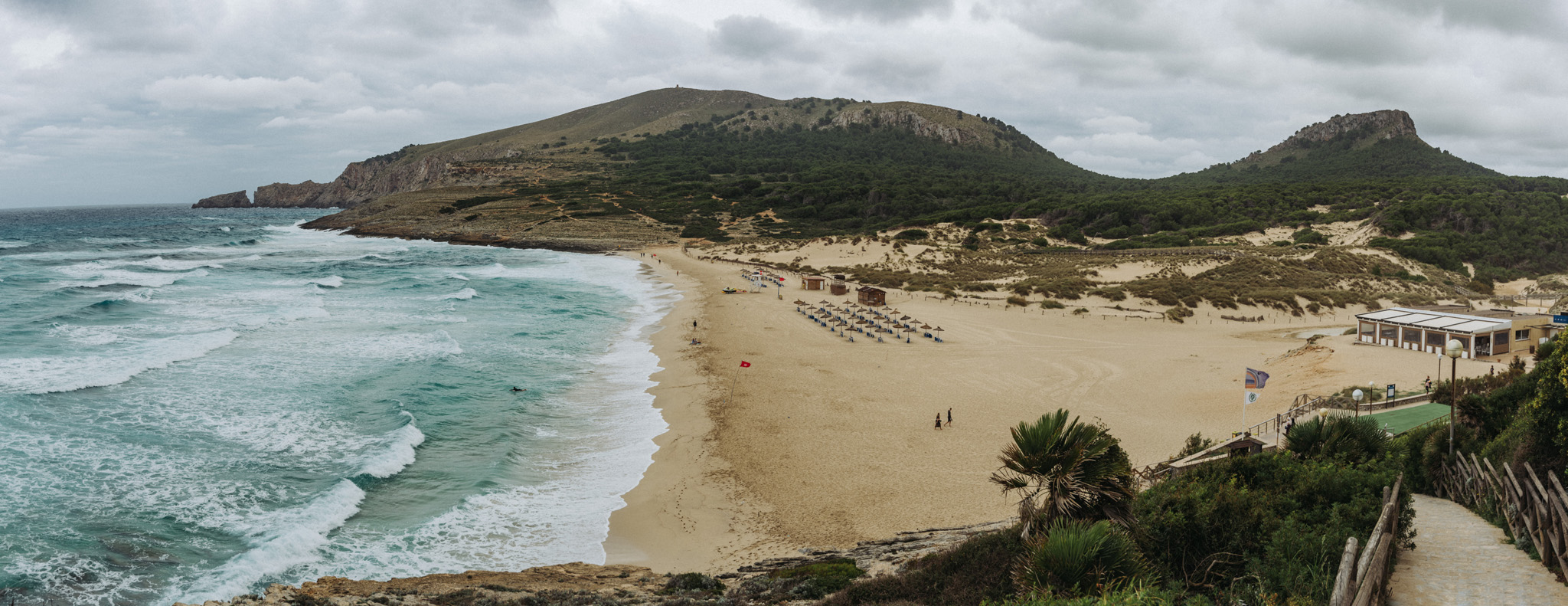
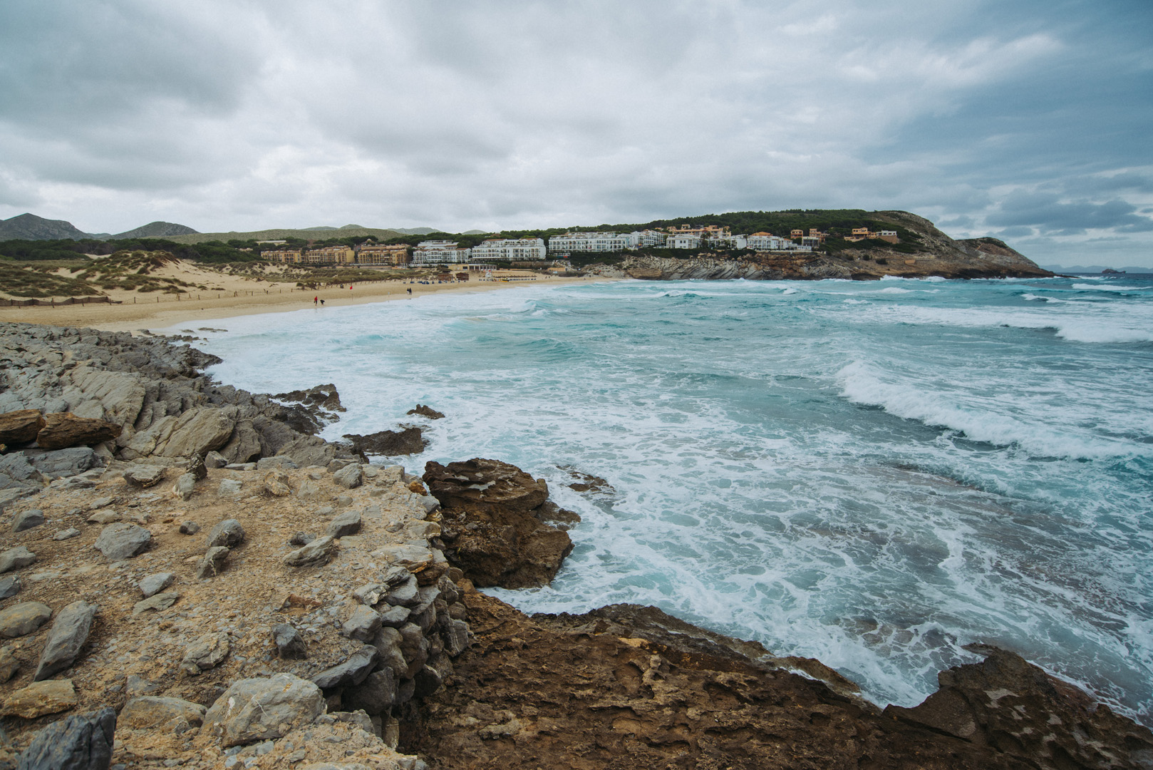
Plaża Mesquida (39°44’40″N 3°26’00″E), widok z jednej i drugiej strony.
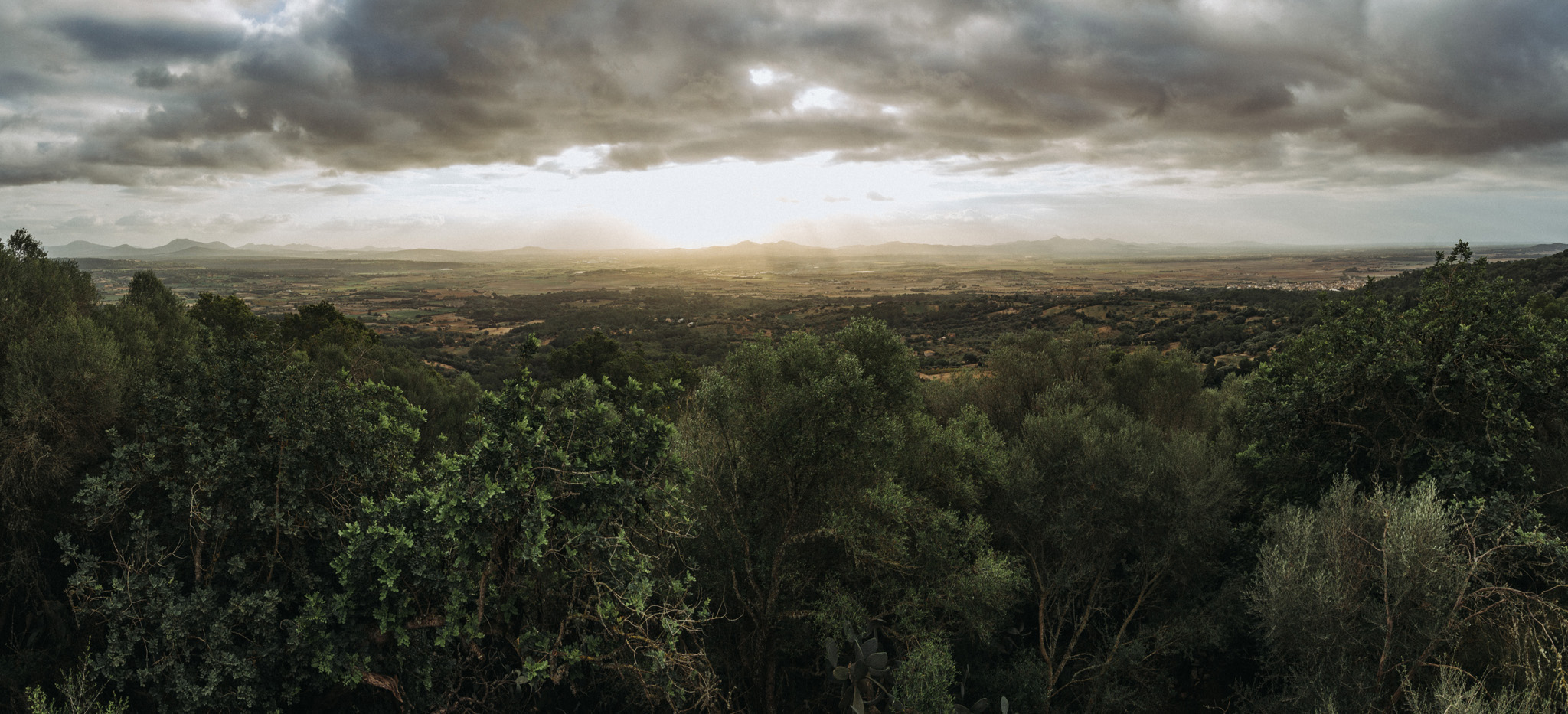
Widok o poranku z Santuari de la Mare de Déu de Bonany (39°35’40″N 3°05’14″E).
Widok z Puig de Sa Tudosa (39°45’54″N 3°20’36″E).
I jeszcze widok na Puig de Sa Tudosa z dołu.
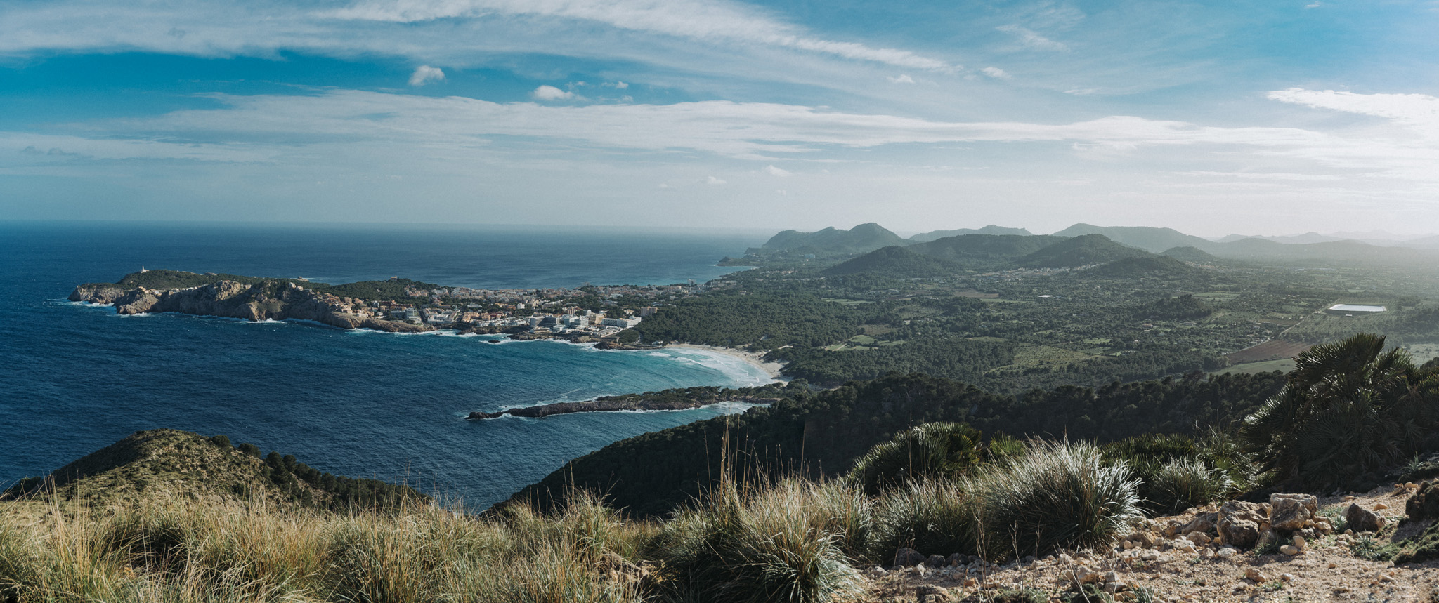
Widok na miasto Porto Colom z okolic latarni morskiej (39°24’54″N 3°16’14″E).
Widok z plaży Porto Colom (39°25’11″N 3°16’14″E) na miasto.
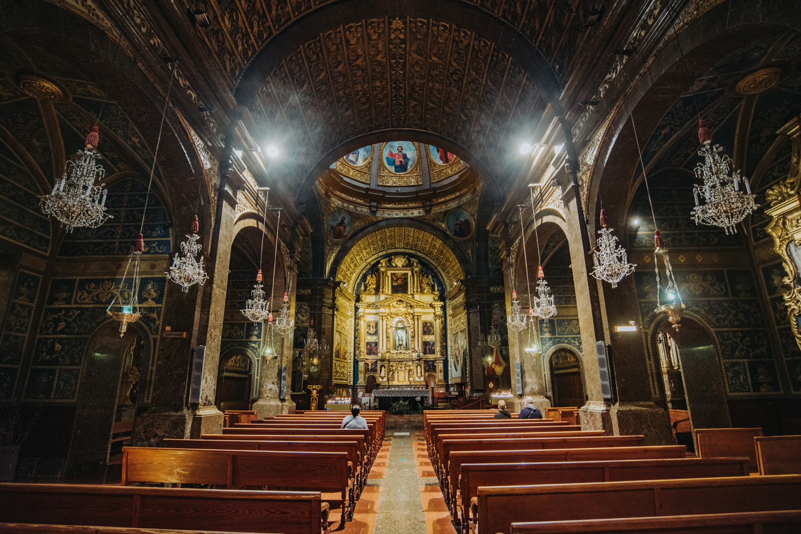
Bazylika w Lluc (39°49’23″N 2°53’06″E).
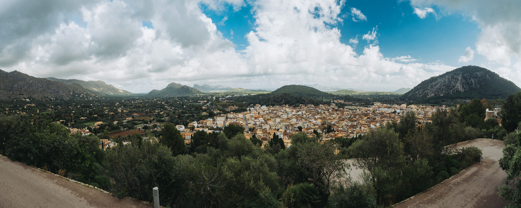
Widok z punktu widokowego Amb Bancs (39°52’50″N 3°00’45″E) obok El Calvari w mieście Pollença.
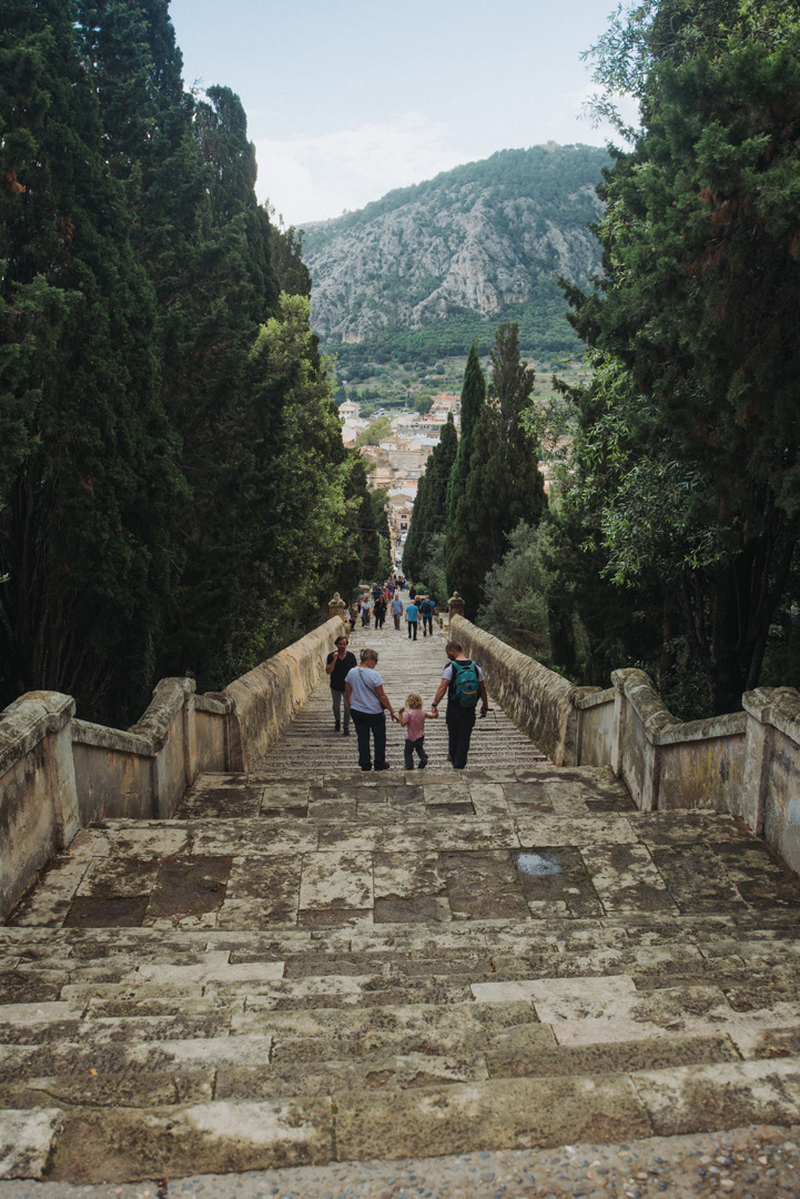
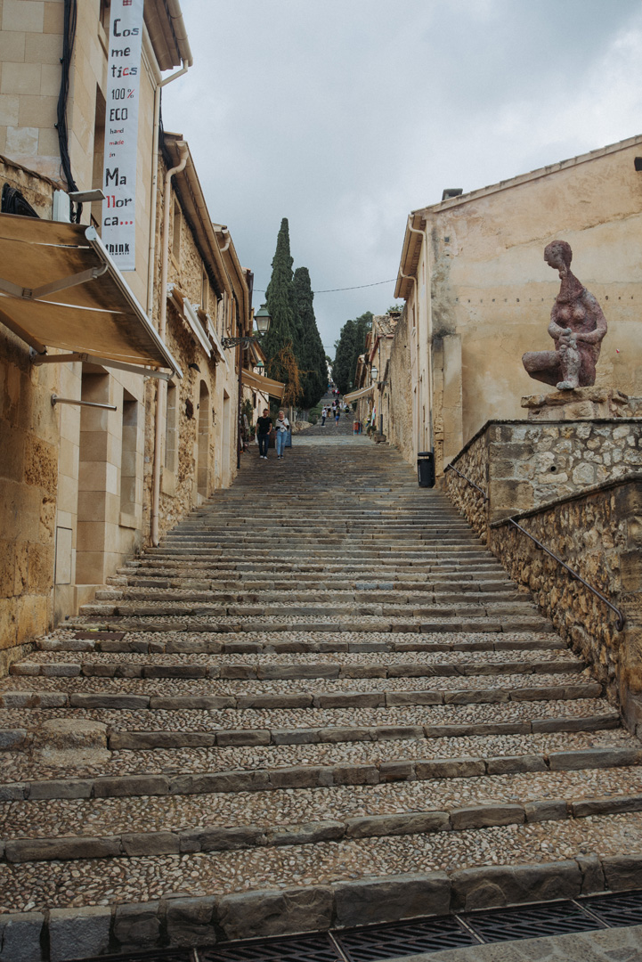
W Pollença znajdują się schody prowadzące do El Calvari (39°52’49″N 3°00’43″E). Schody mają 365 stopni, widok z góry i z dołu.
Punkt widokowy La Victoria (39°52’23″N 3°10’10″E) obok Ermita de la Victoria (39°52’25″N 3°10’16″E).
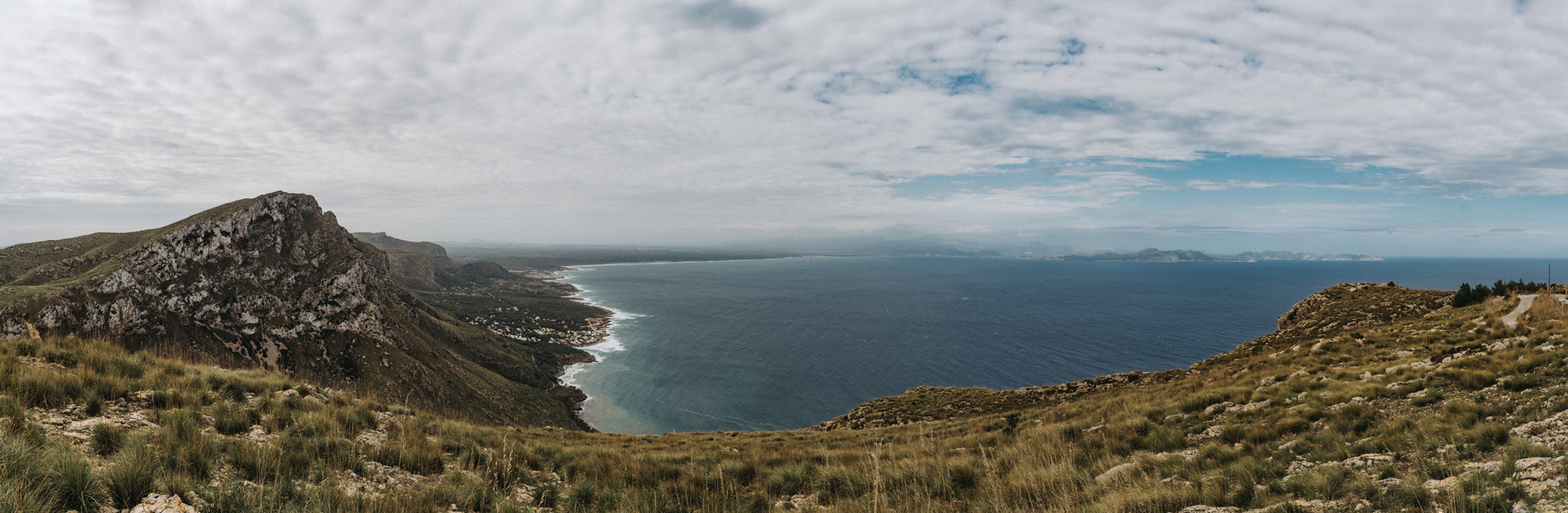
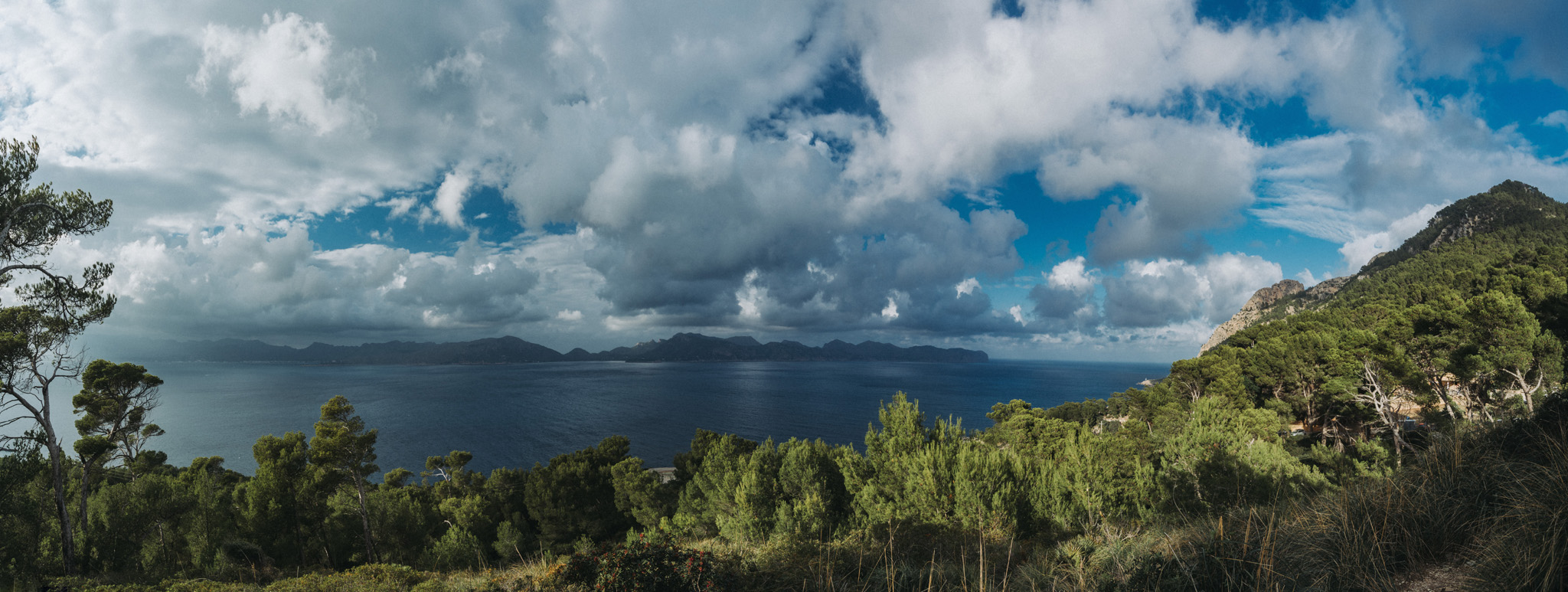
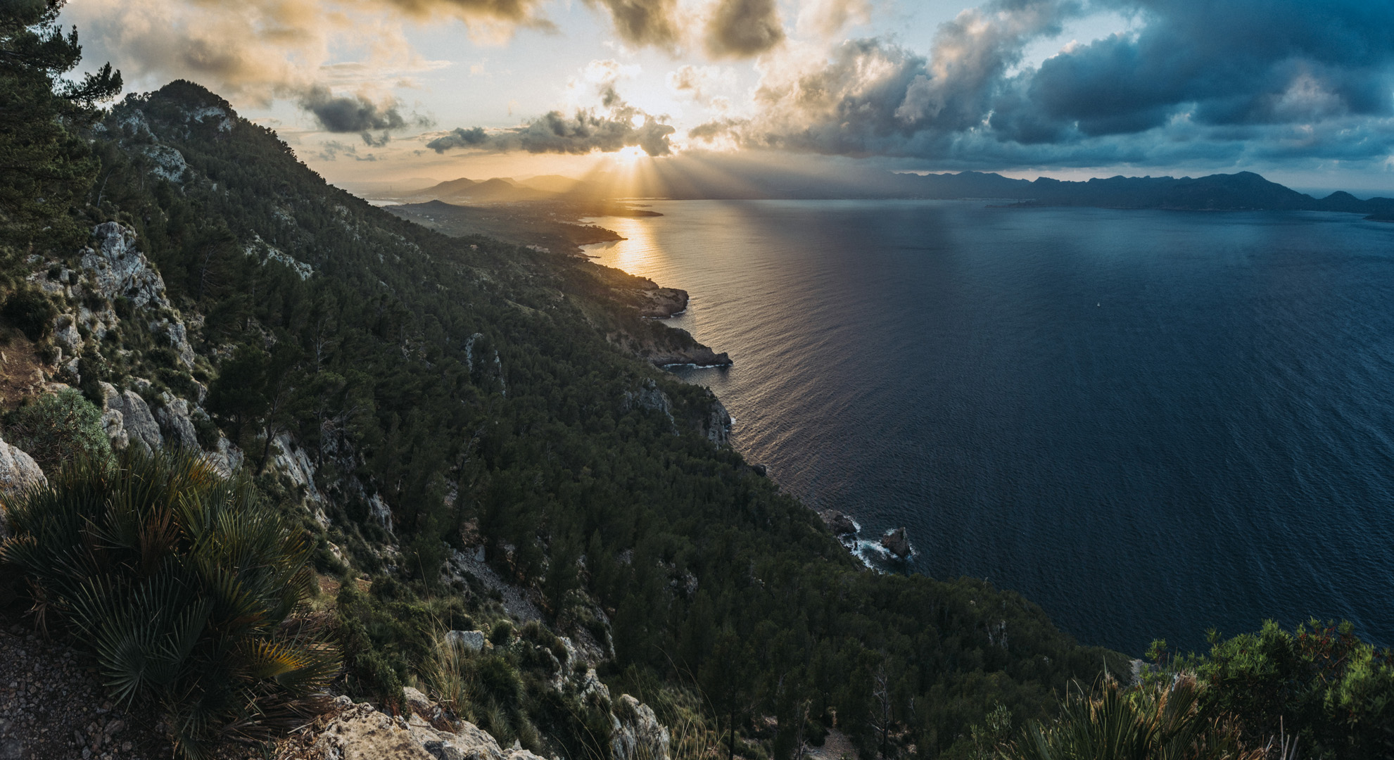
Widok ze szczytu Talaia d’Alcúdia (39°51’57″N 3°10’25″E).
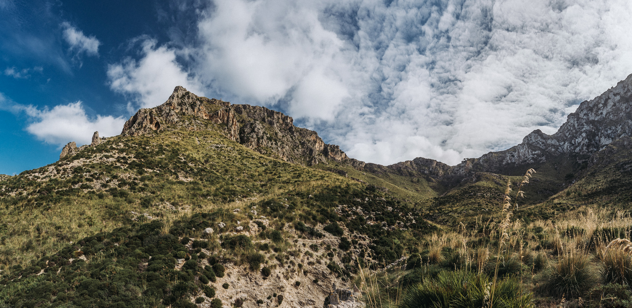
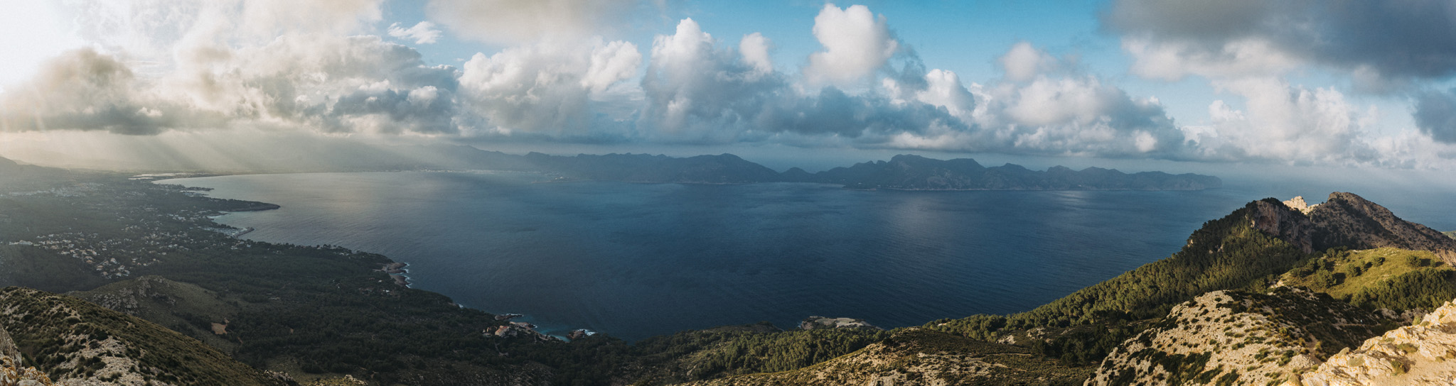
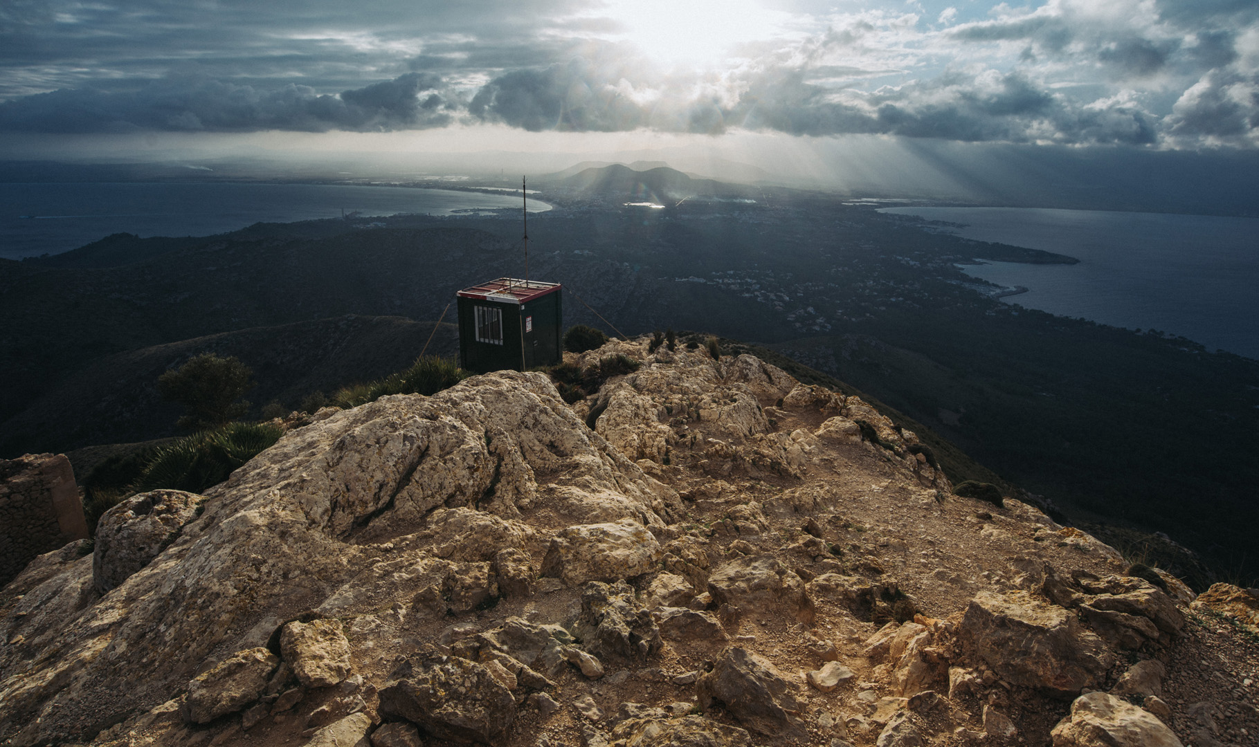
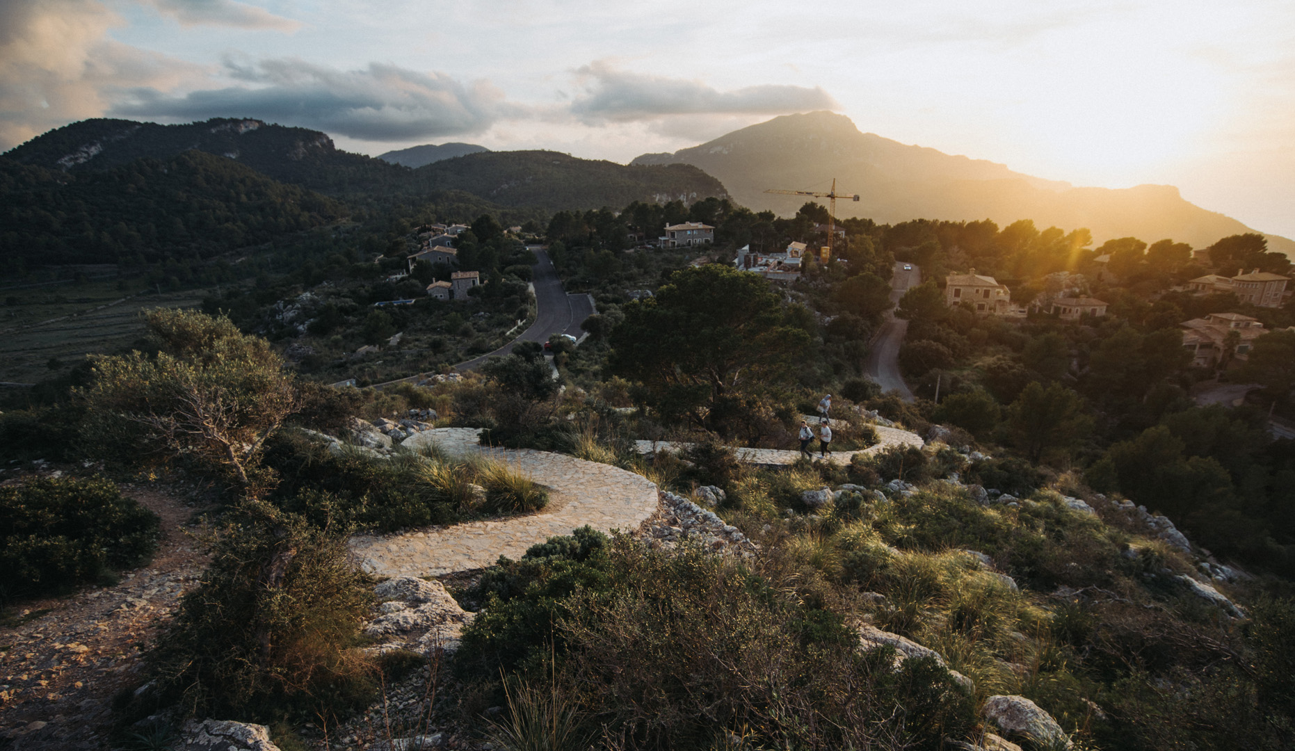
Widok w drodze na Penyal del Migdia (39°52’50″N 3°10’57″E).
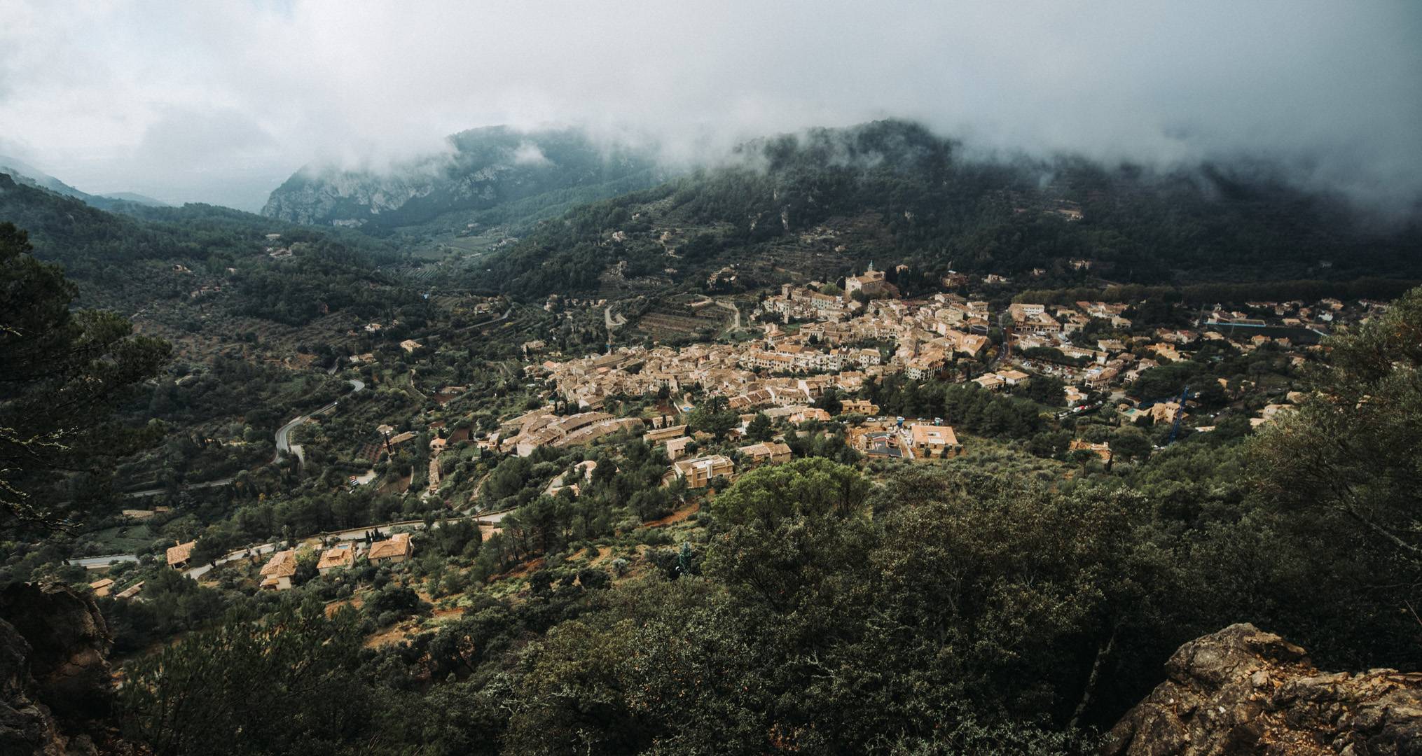
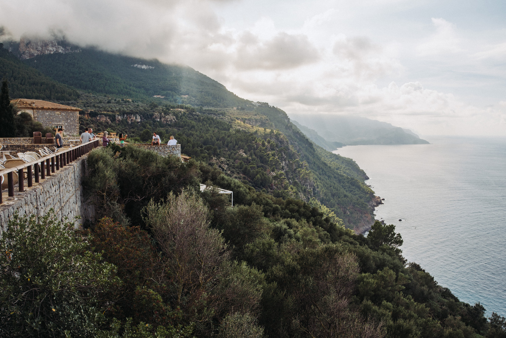
Punkt widokowy Son Gual (39°43’16″N 2°37’17″E), widok na miasto Valldemossa.
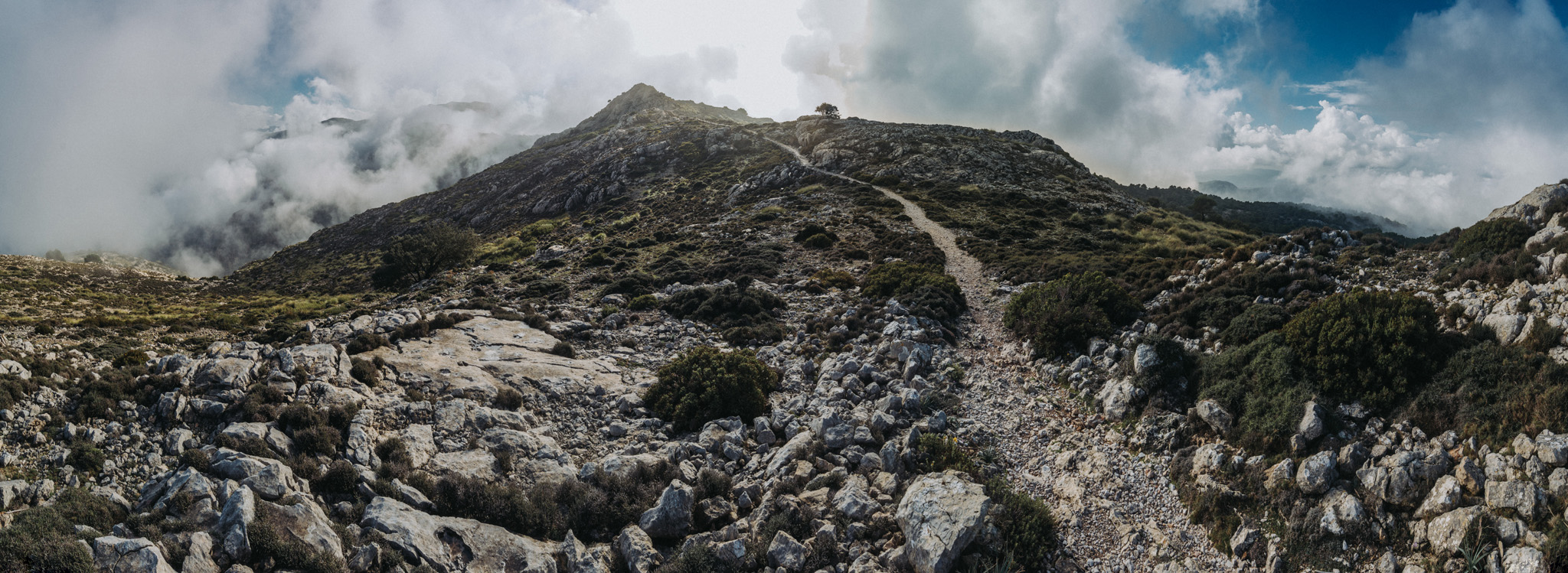
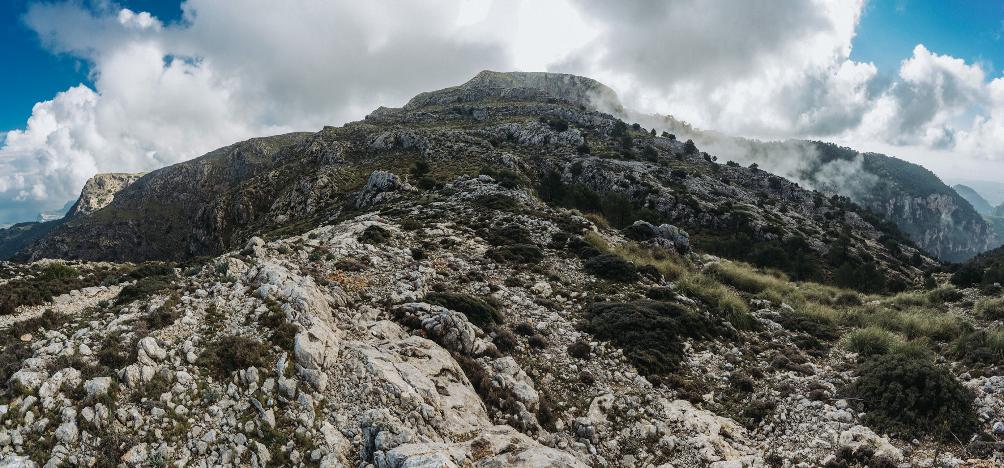
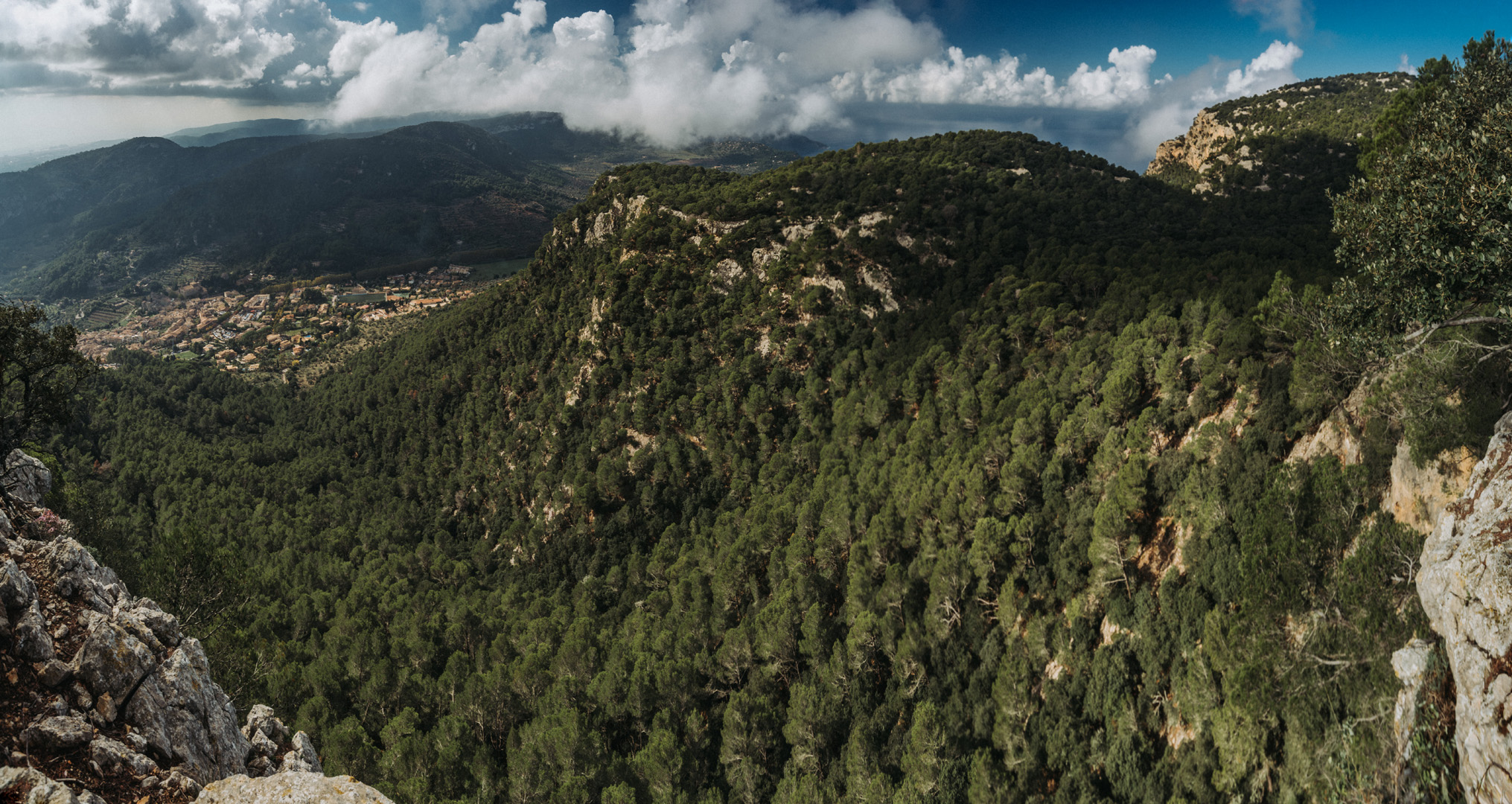
Gdzieś na Puig des Teix (39°43’57″N 2°39’44″E).
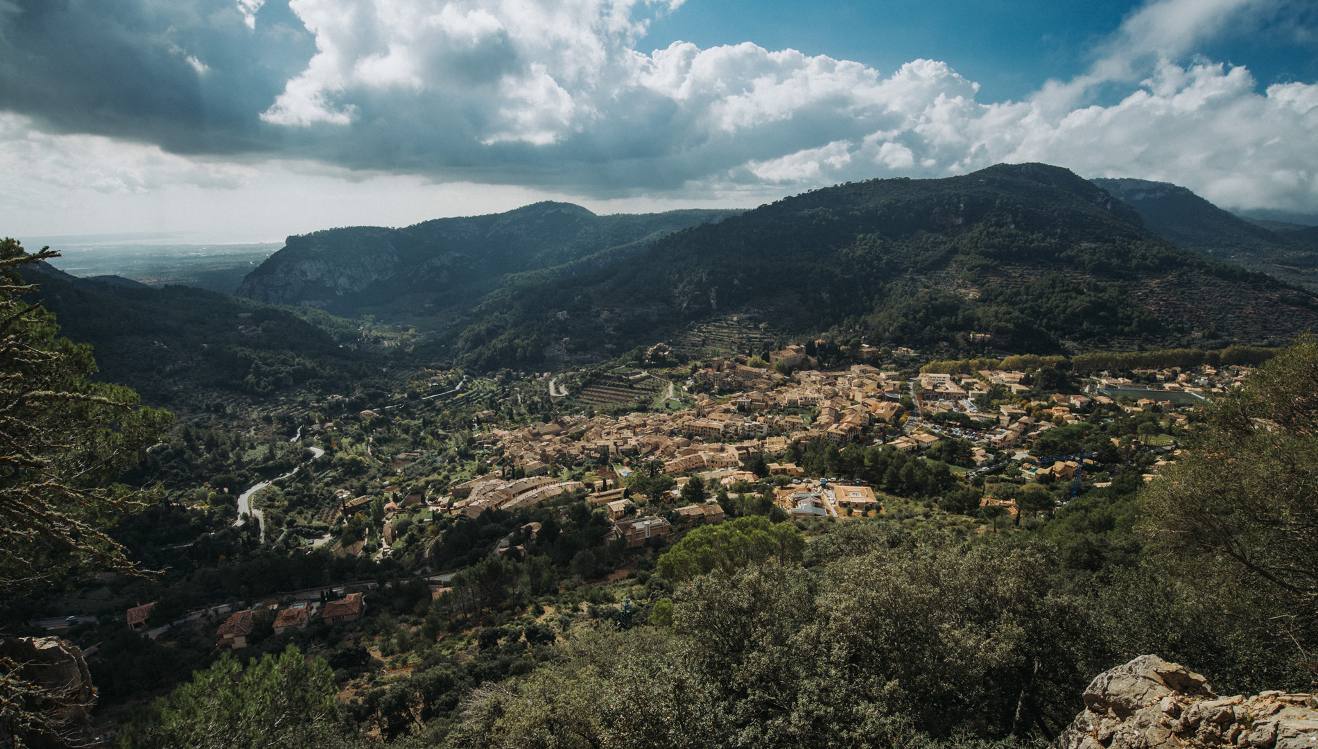
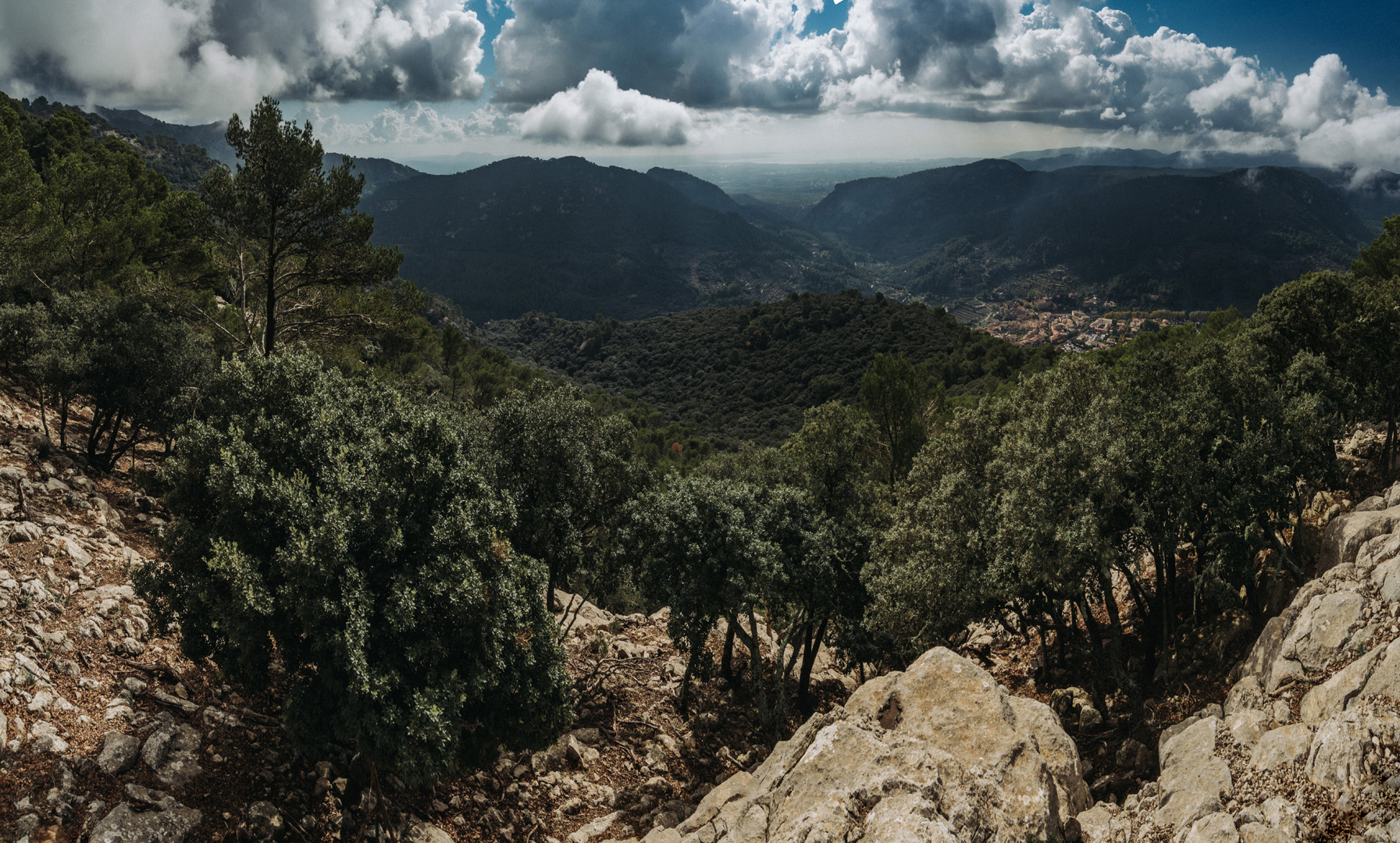
Punk widokowy Regata de les Onze (39°43’15″N 2°37’28″E) z widokiem na miasto Valldemossa.
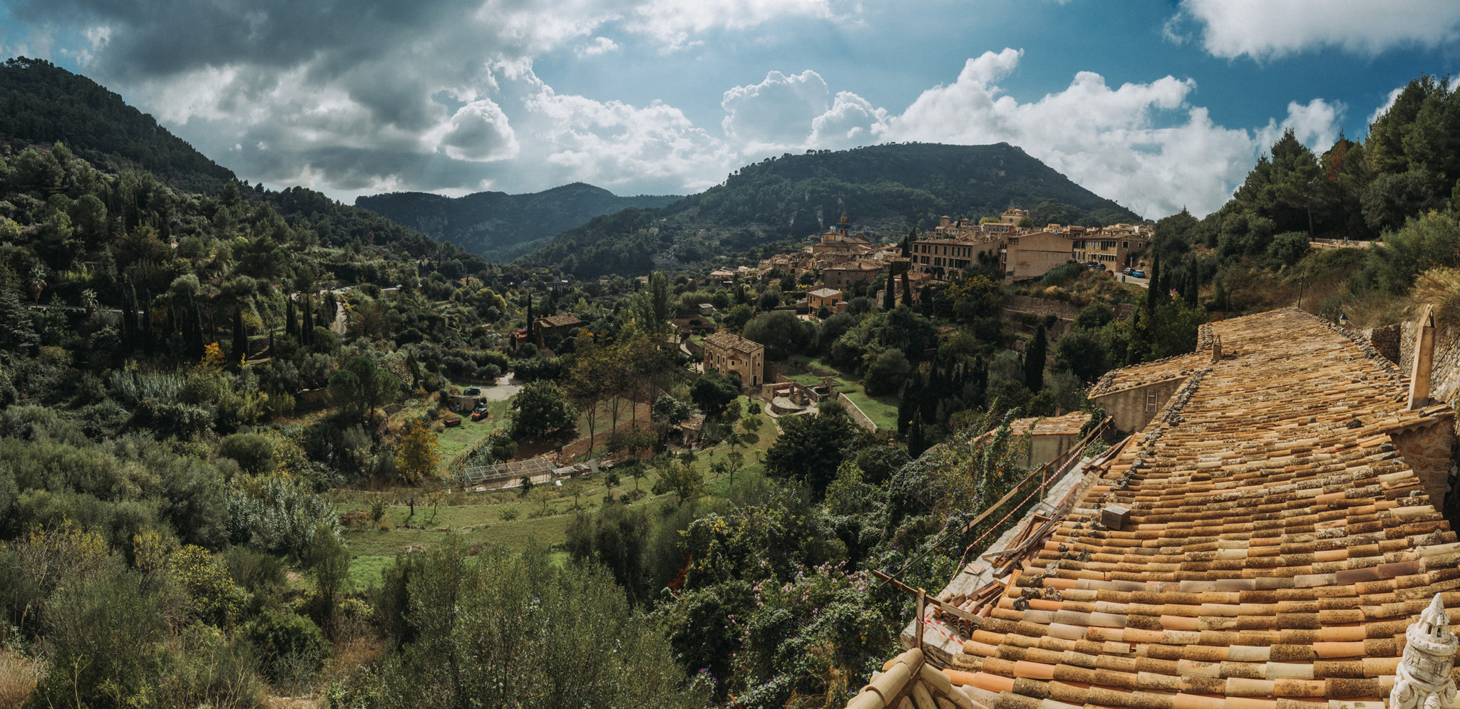
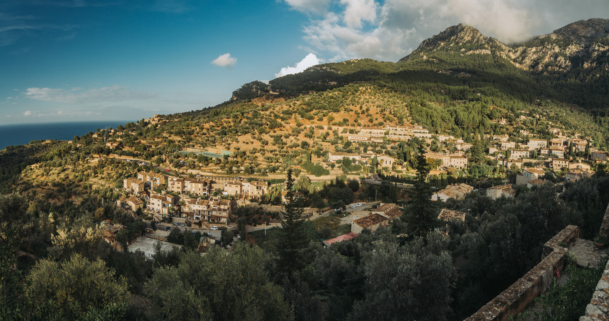
Widok na miasto Valldemossa z punktu widokowego (39°42’45″N 2°37’40″E).
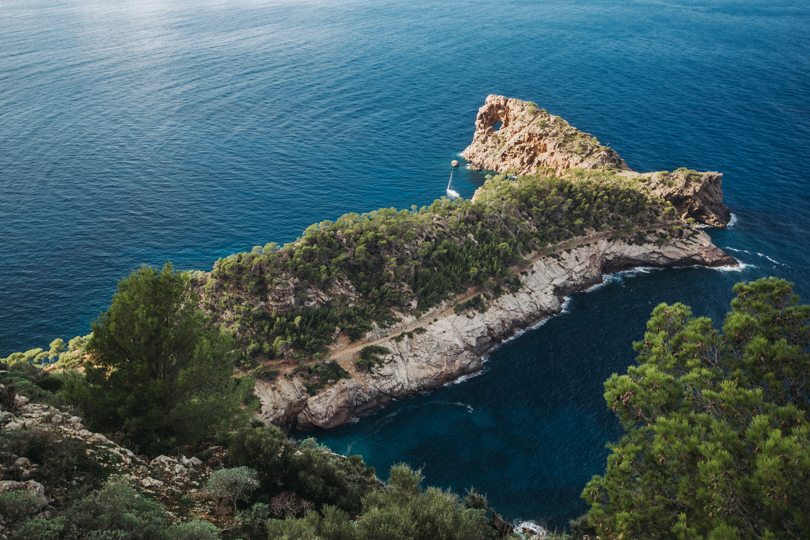
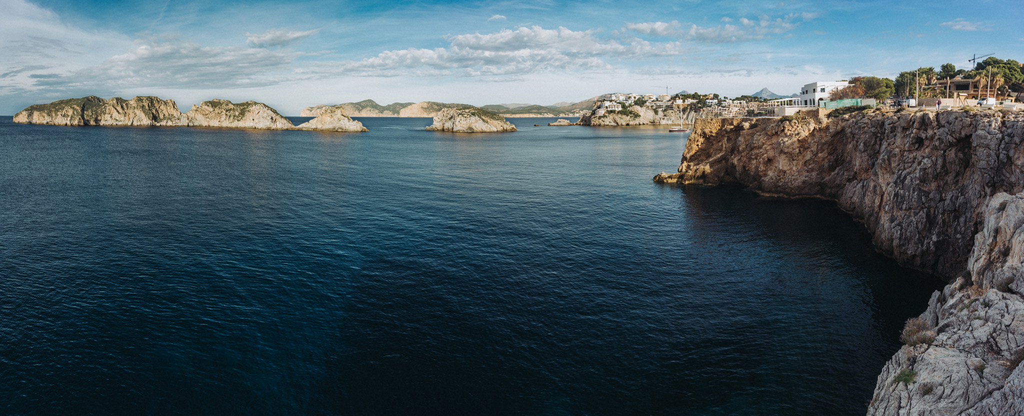
Punkt widokowy Sa Foradada (39°45’07″N 2°37’46″E).
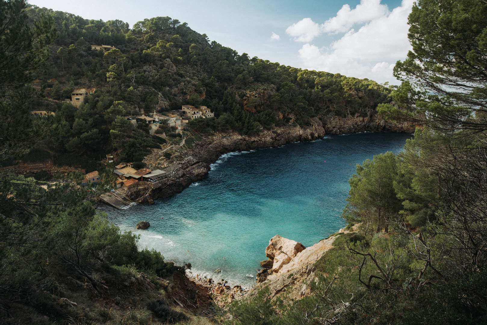
Cala Deià (39°45’37″N 2°38’31″E).
Cala Tiaga (39°45’41″N 2°38’36″E).
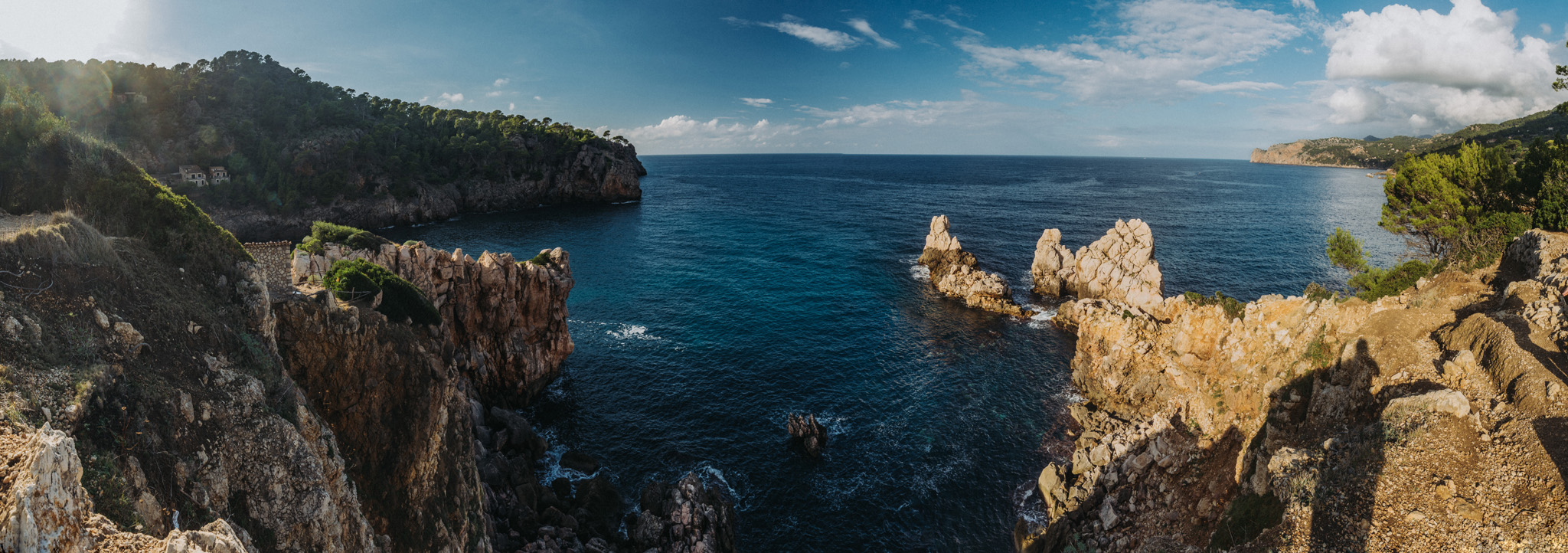
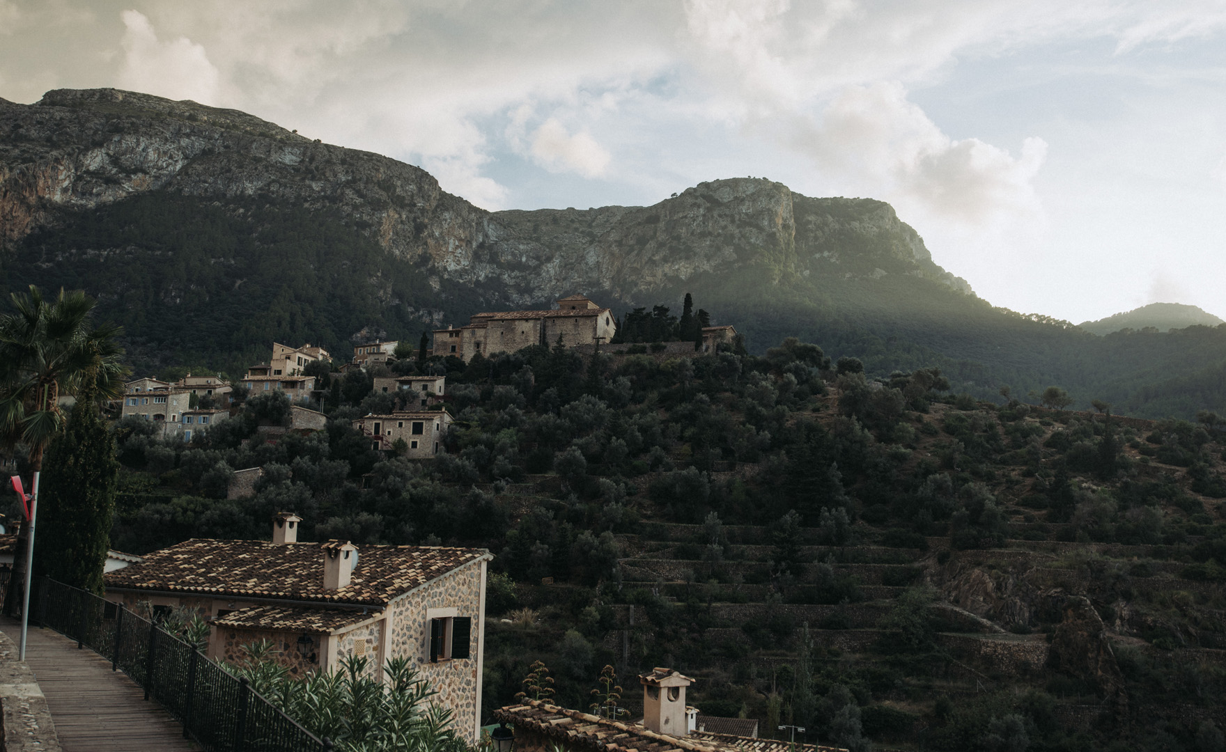
Punkt widokowy w mieście Deià (39°44’55″N 2°38’48″E).
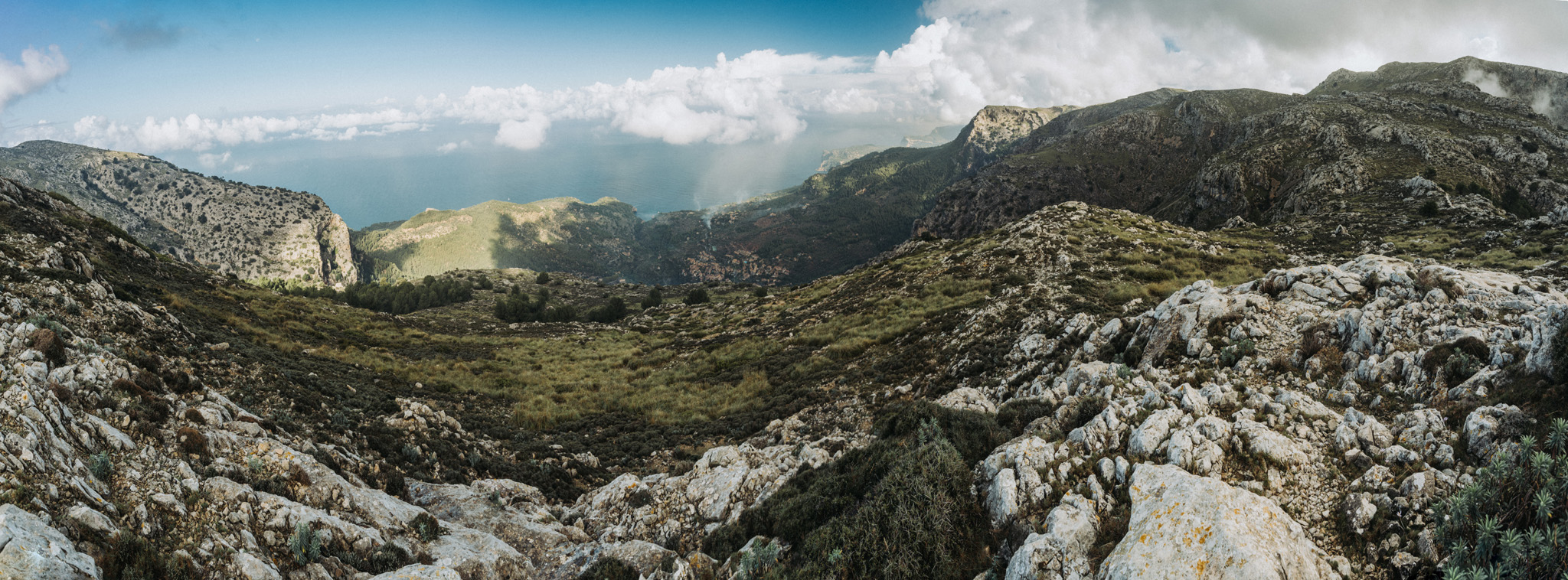
Widok z Puig de la Moneda (39°42’23″N 2°34’54″E).
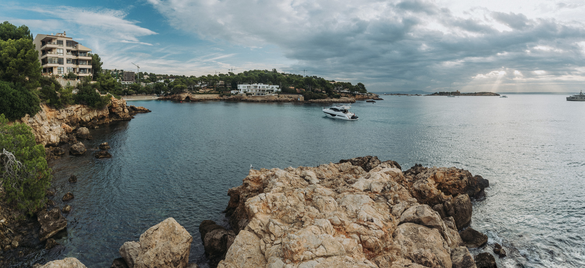
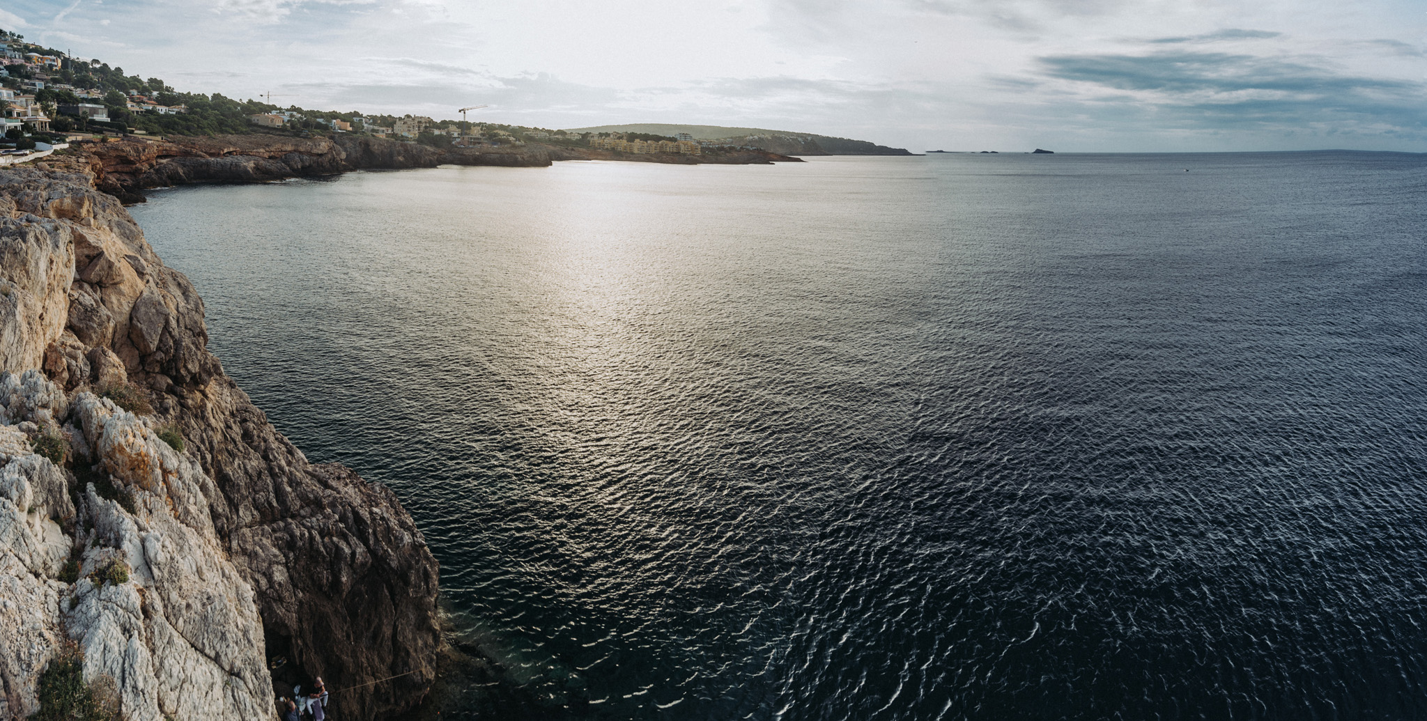
Widok z przylądka Oratorio (39°31’53″N 2°34’30″E) na zatokę Portals Nous.