Czeski Raj
Czeski Raj to nazwa rejonu w północnych Czechach, w którym jest dużo skalnych miast i skałek.
Besedické Skály
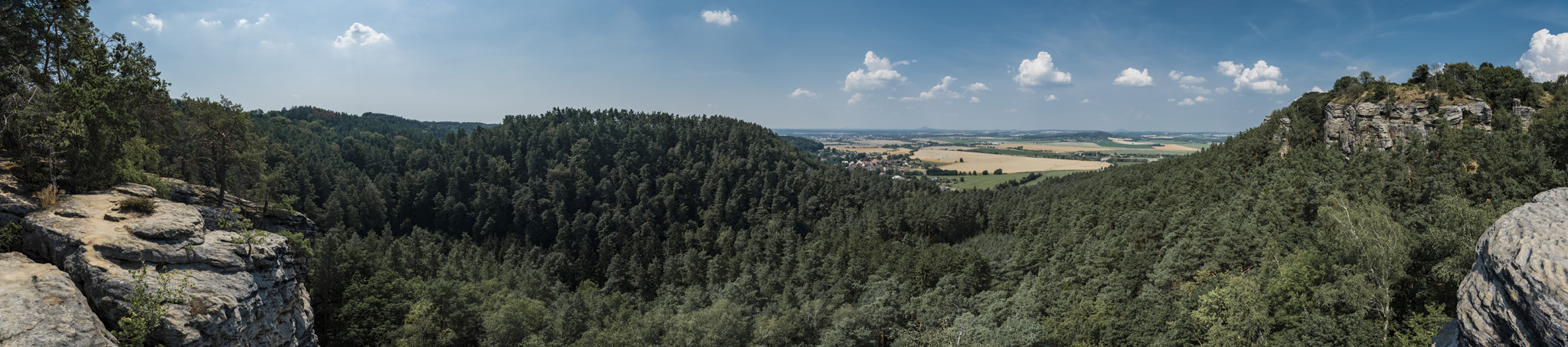
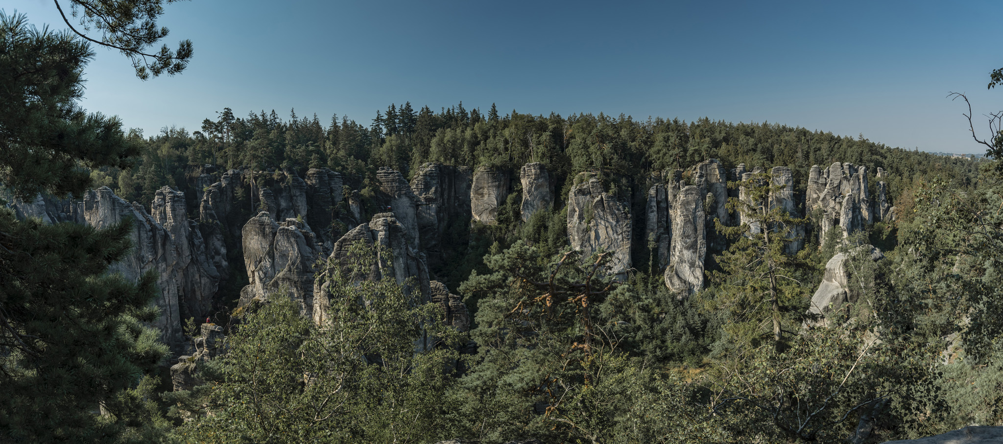
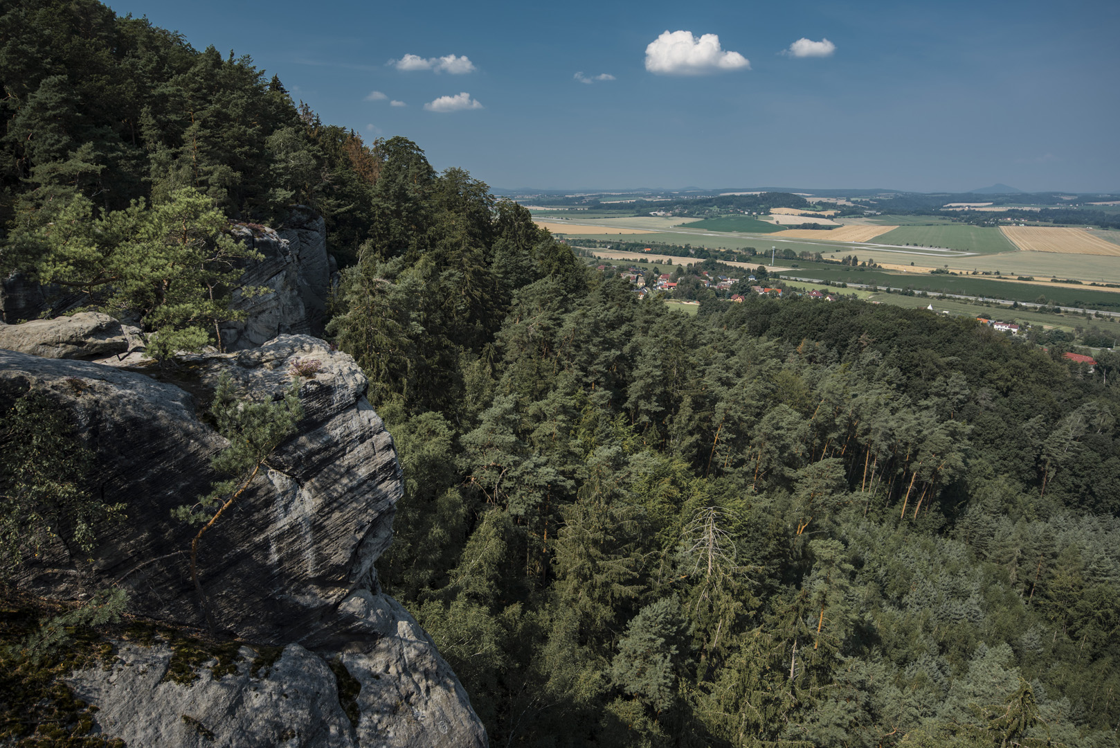
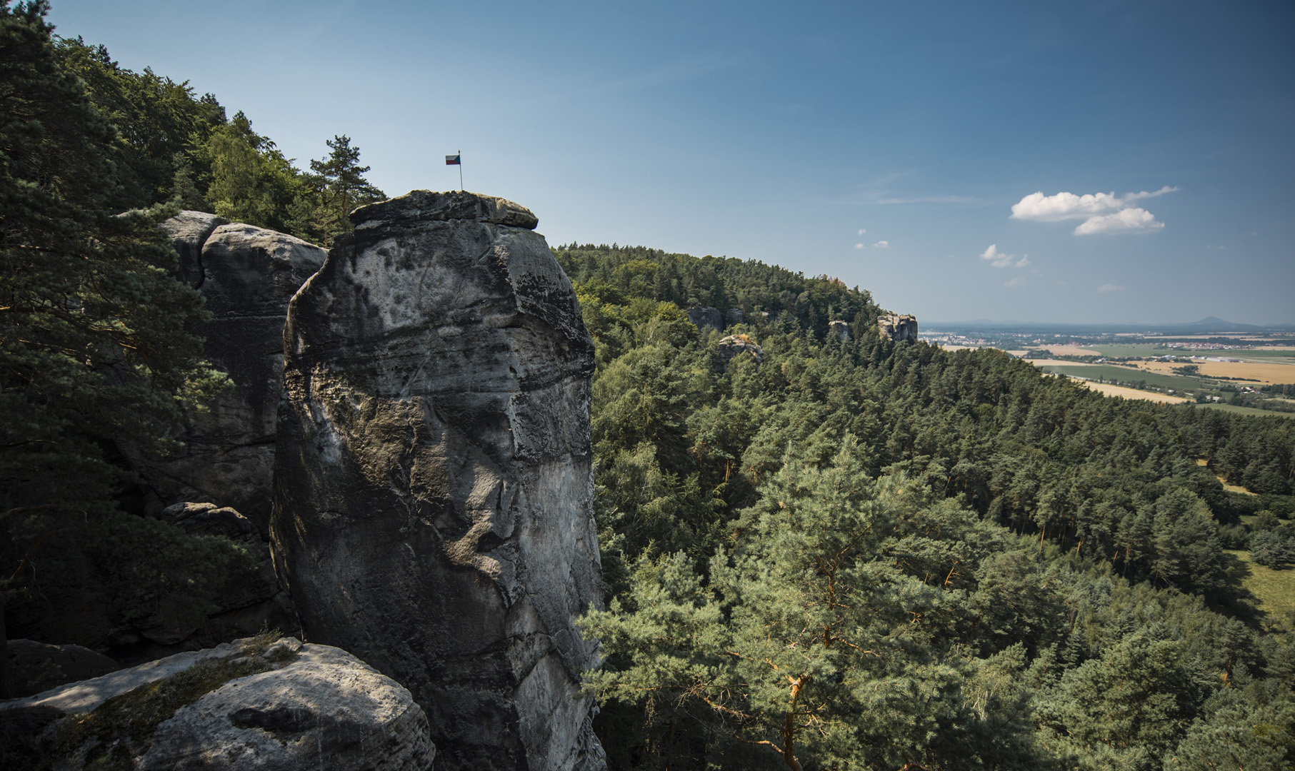
Widok na Suche Skaly (50°38’14″N 15°12’40″E) ze szczytu Sokol (50°37’58″N 15°12’22″E) w Besedickich Skálach.
![](https://palinski.org/wp-content/uploads/2020/11/DSC0850.jpg)
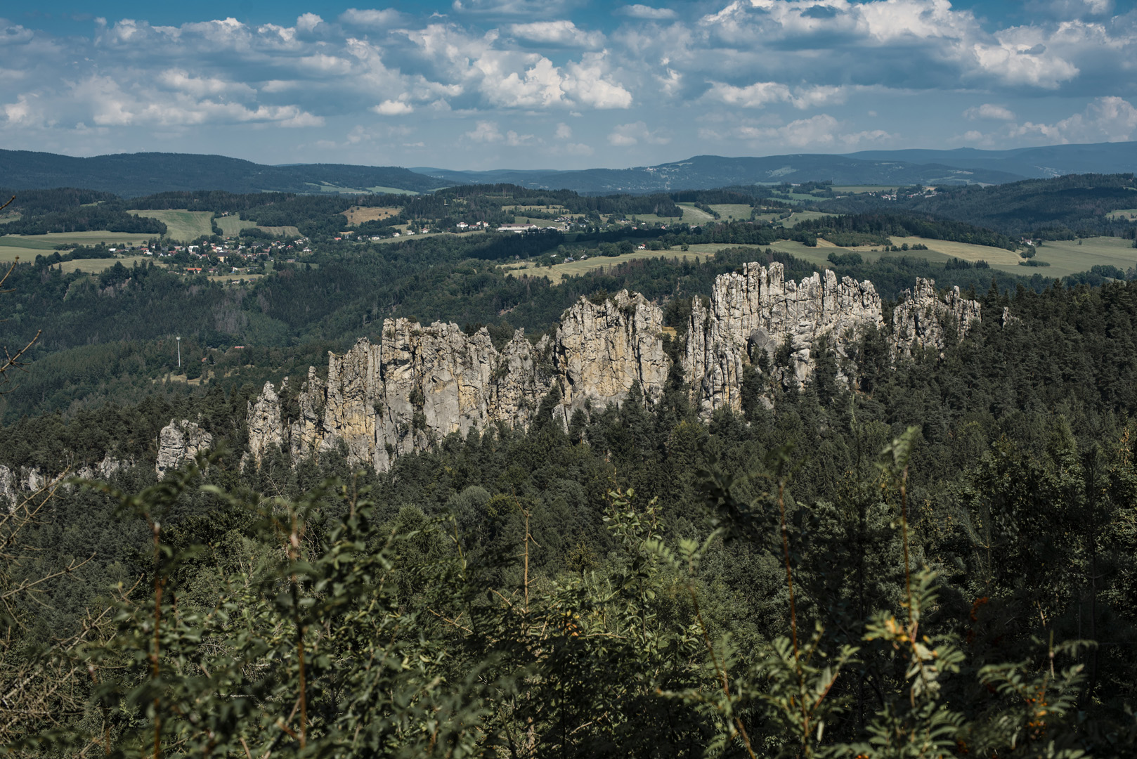
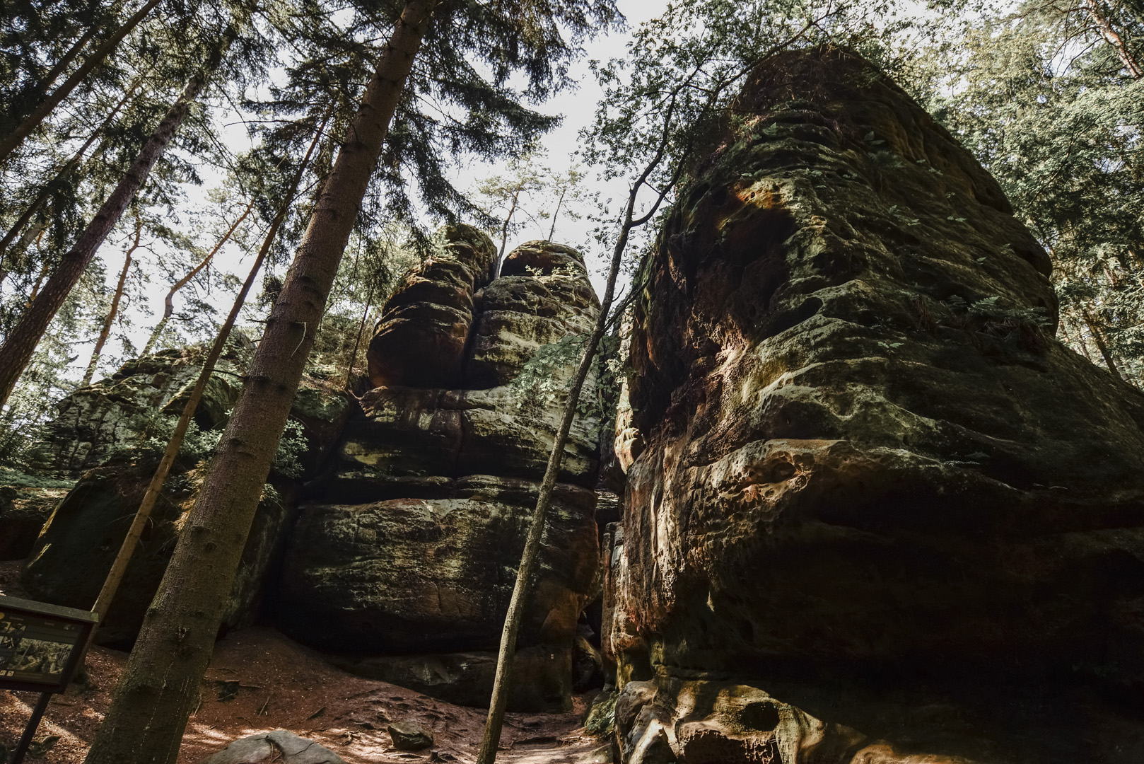
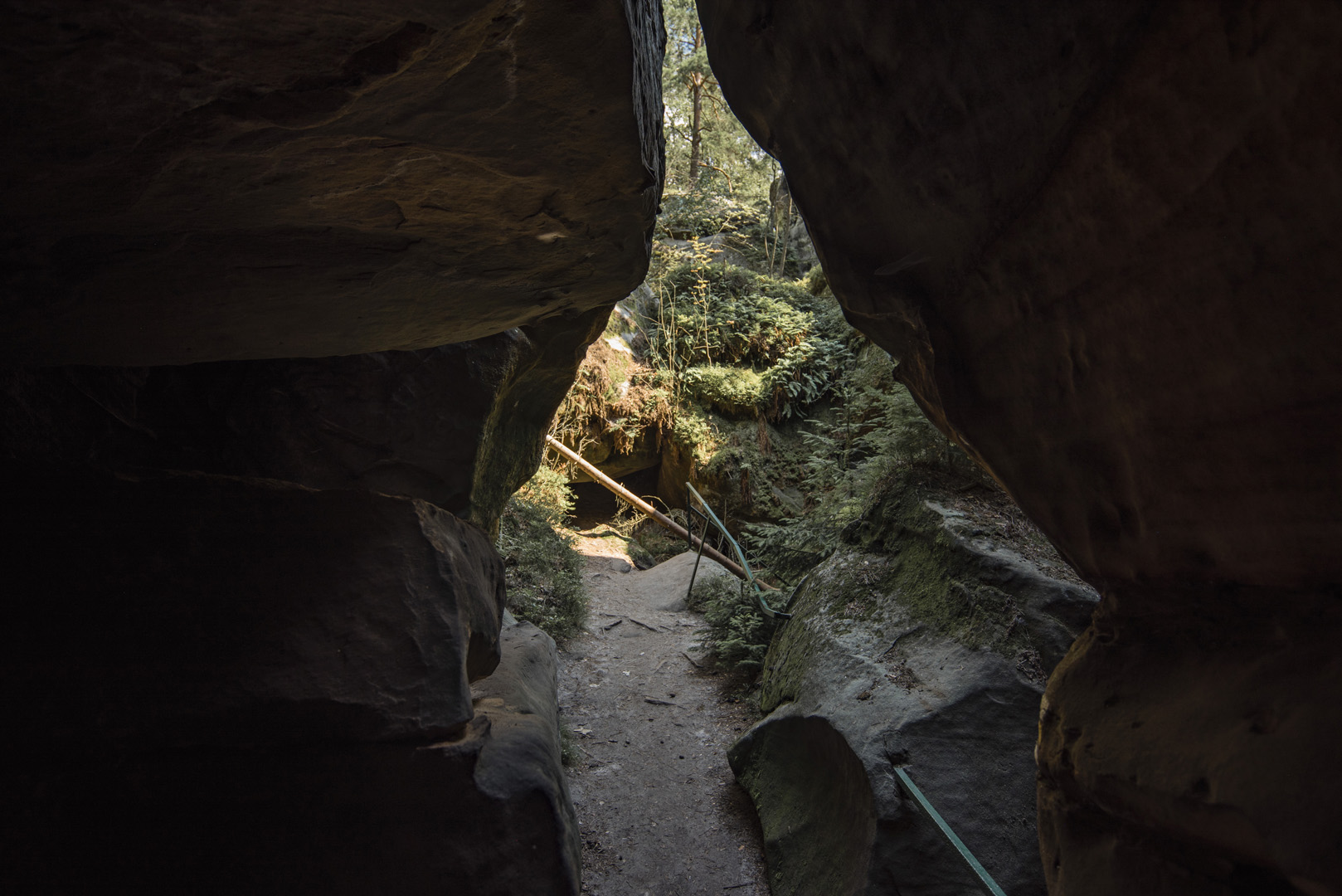
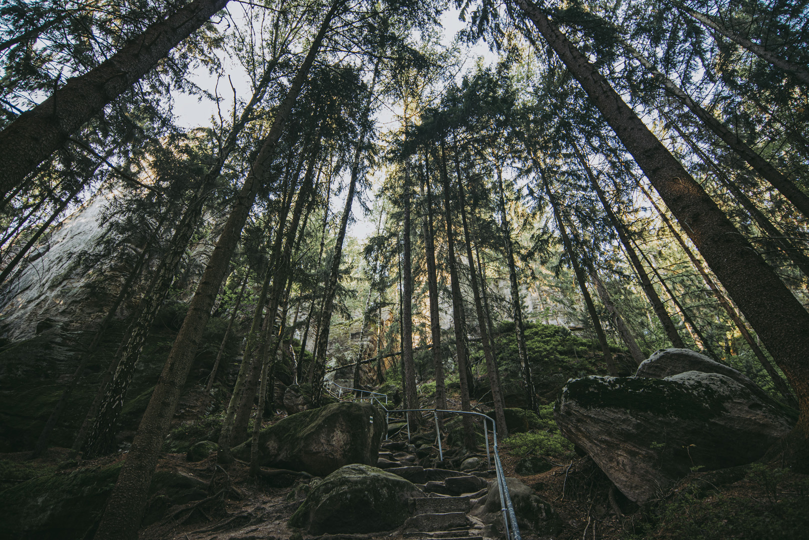
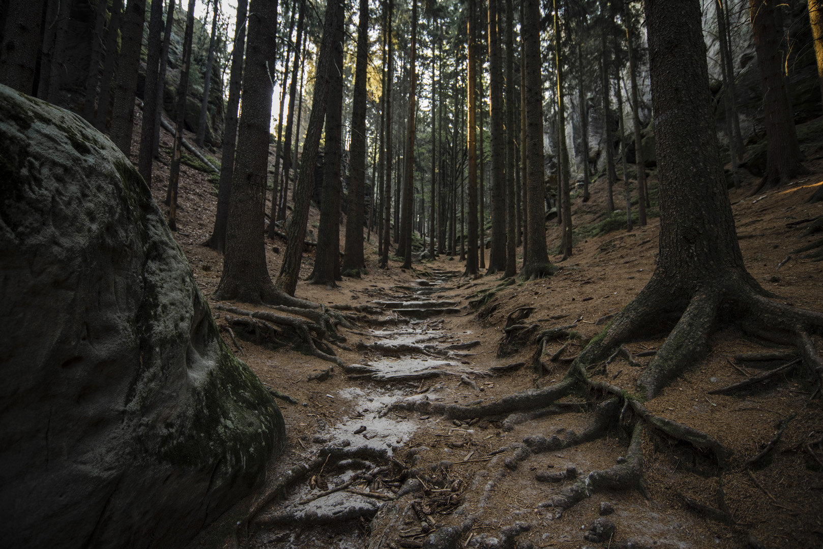
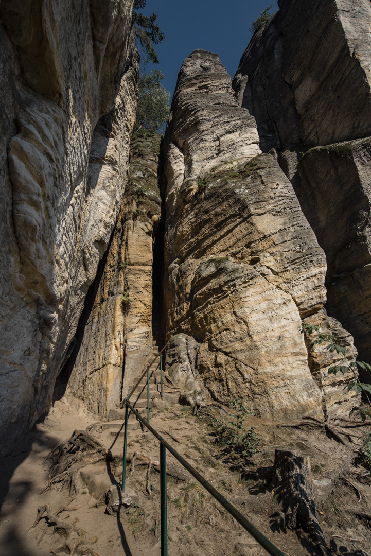
Przykładowe zdjęcia ze szlaku w Besedickich Skálach.
![](https://palinski.org/wp-content/uploads/2020/11/DSC0860.jpg)
![](https://palinski.org/wp-content/uploads/2020/11/DSC0863.jpg)
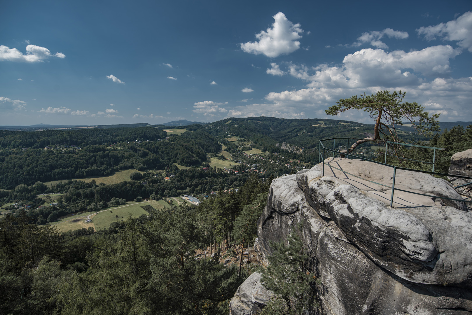
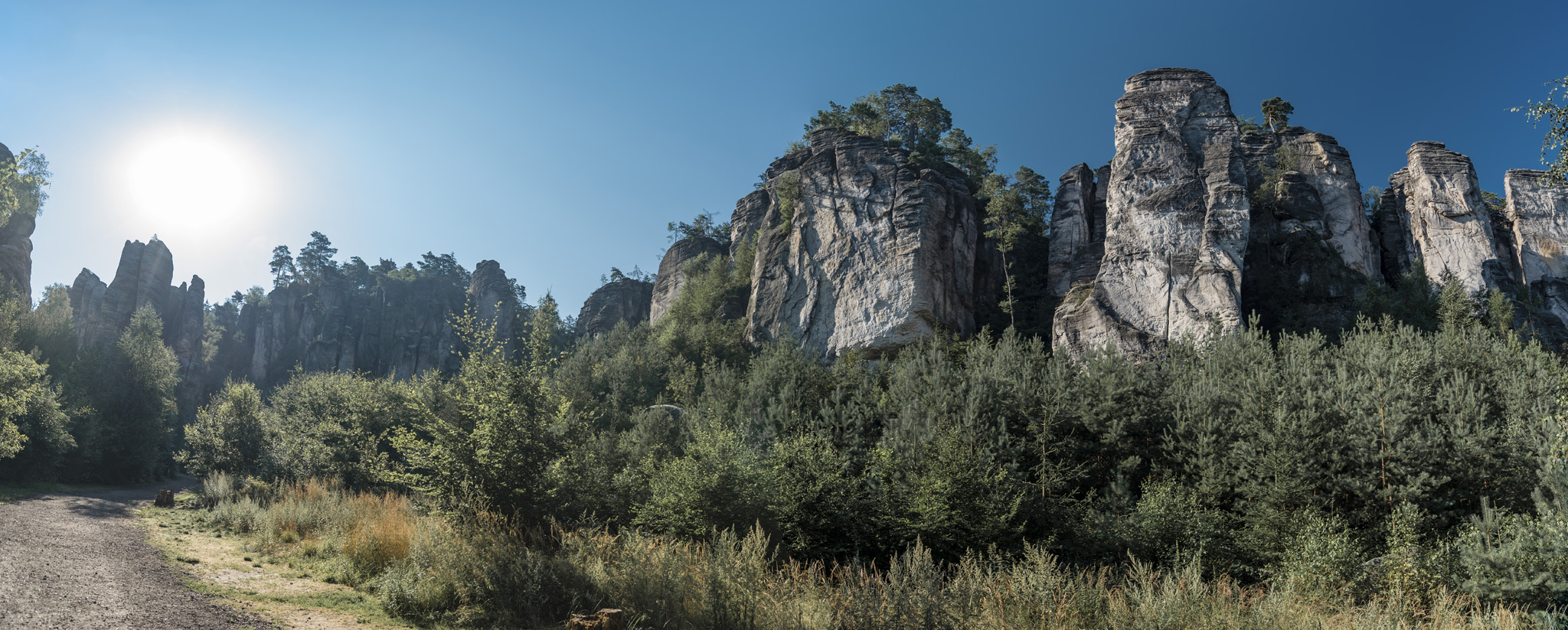
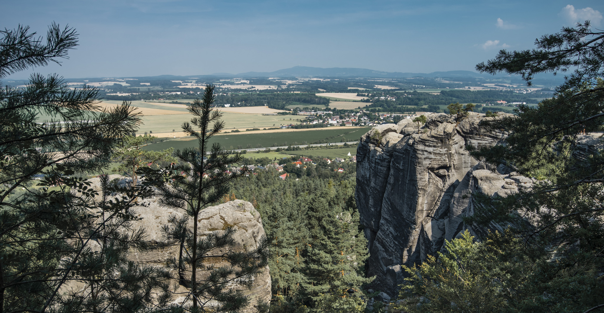
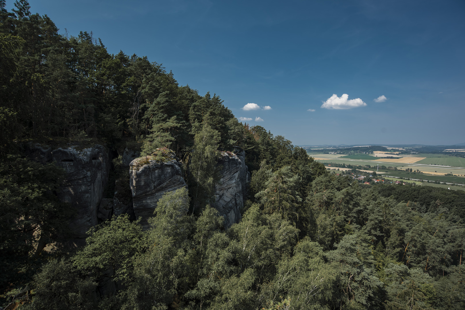
Husníkova vyhlídka (50°37’46″N 15°11’56″E).
![](https://palinski.org/wp-content/uploads/2020/11/DSC0865.jpg)
Góra Kozákov
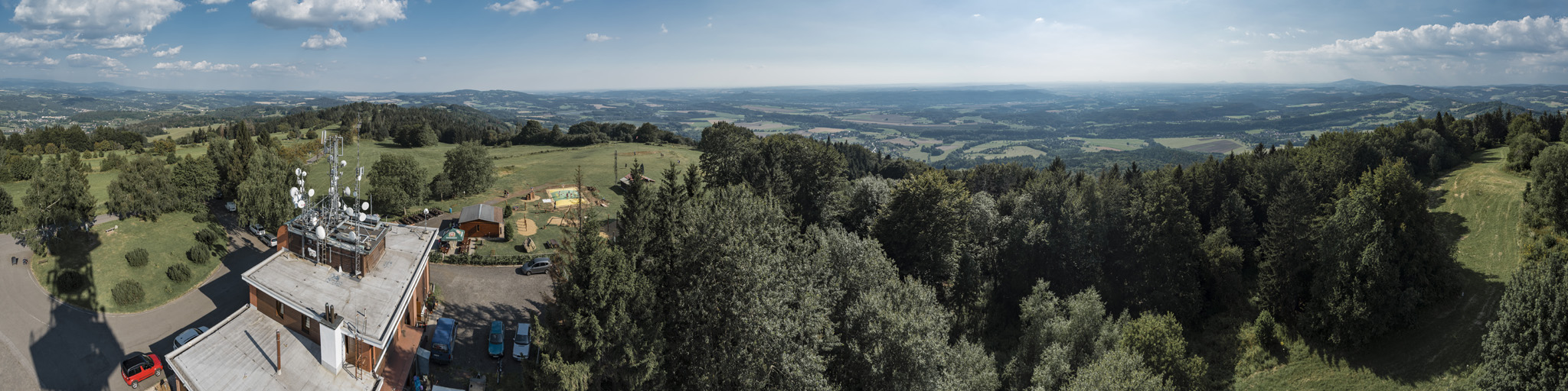
Do góry Kozákov (50°35’40″N 15°15’48″E) można dojechać samochodem, na szczycie znajduje się rozgłośnia radiowa, na którą można wejść.
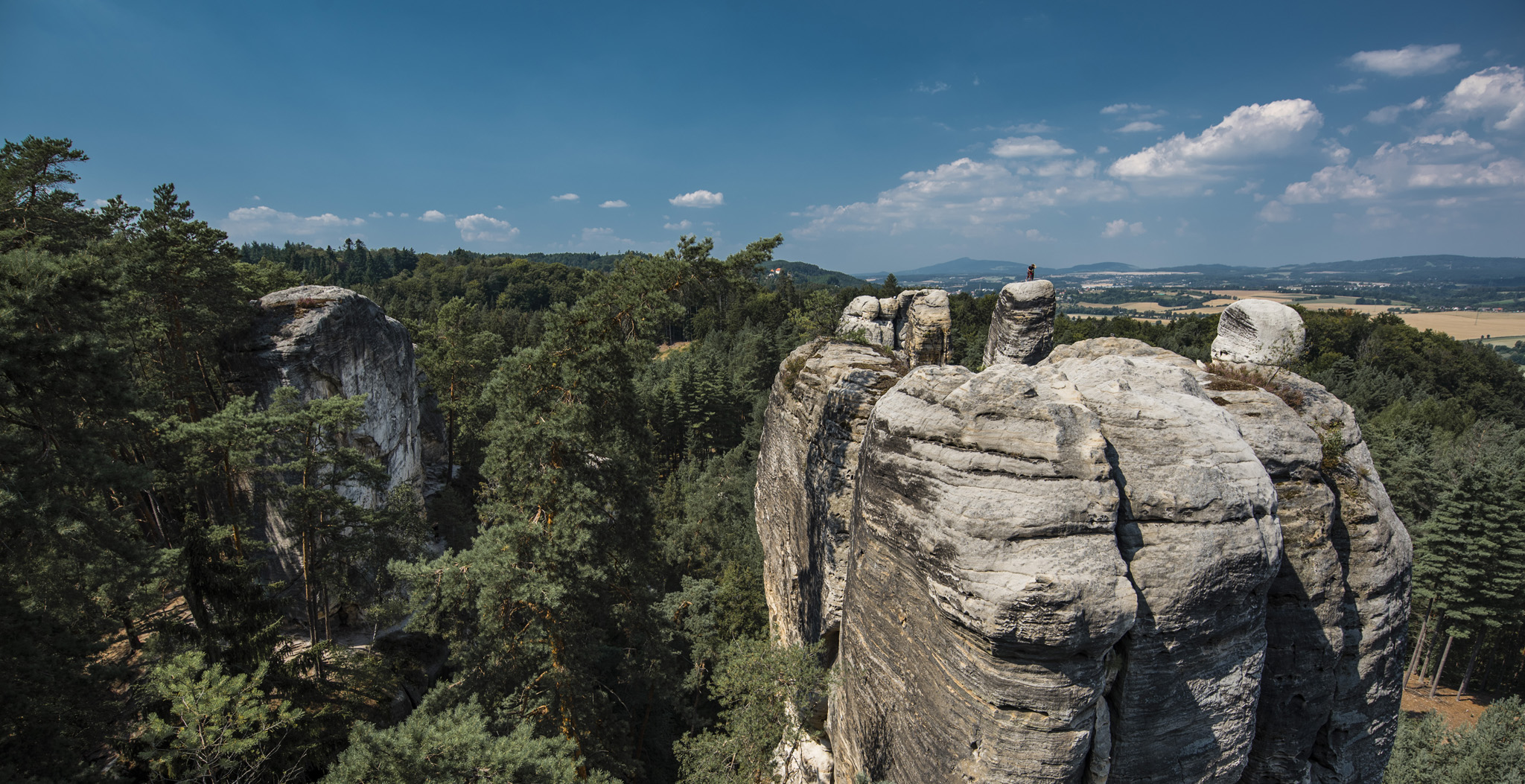
![](https://palinski.org/wp-content/uploads/2020/11/DSC0879-Pano.jpg)
Prachovskie skaly
![](https://palinski.org/wp-content/uploads/2020/11/DSC0882.jpg)
![](https://palinski.org/wp-content/uploads/2020/11/DSC0964.jpg)
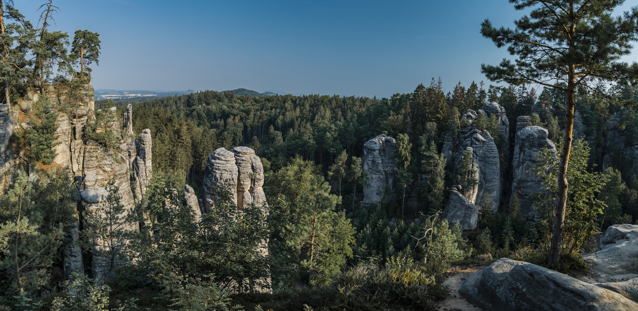
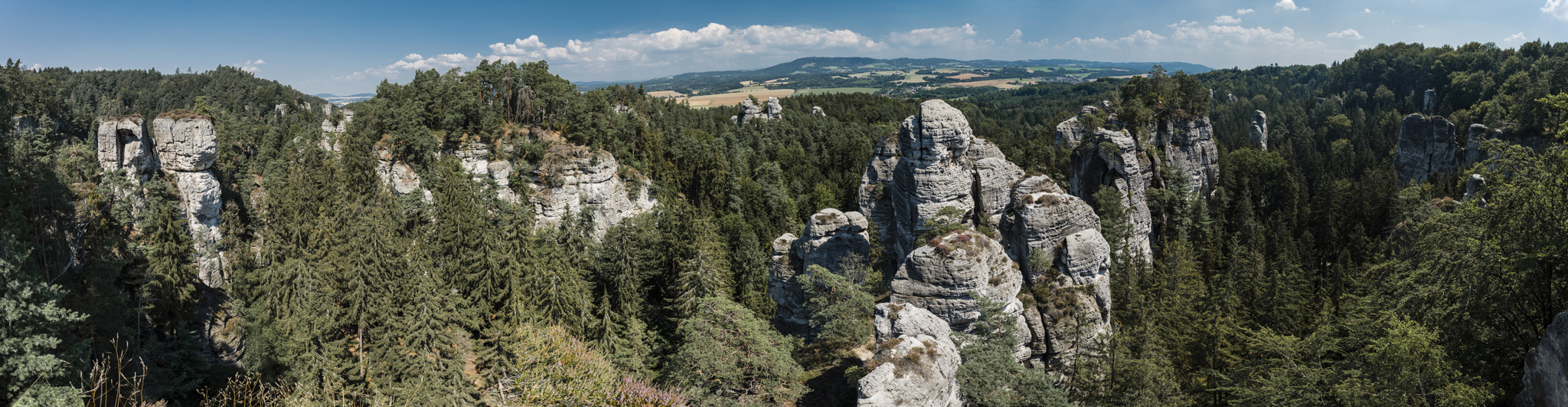
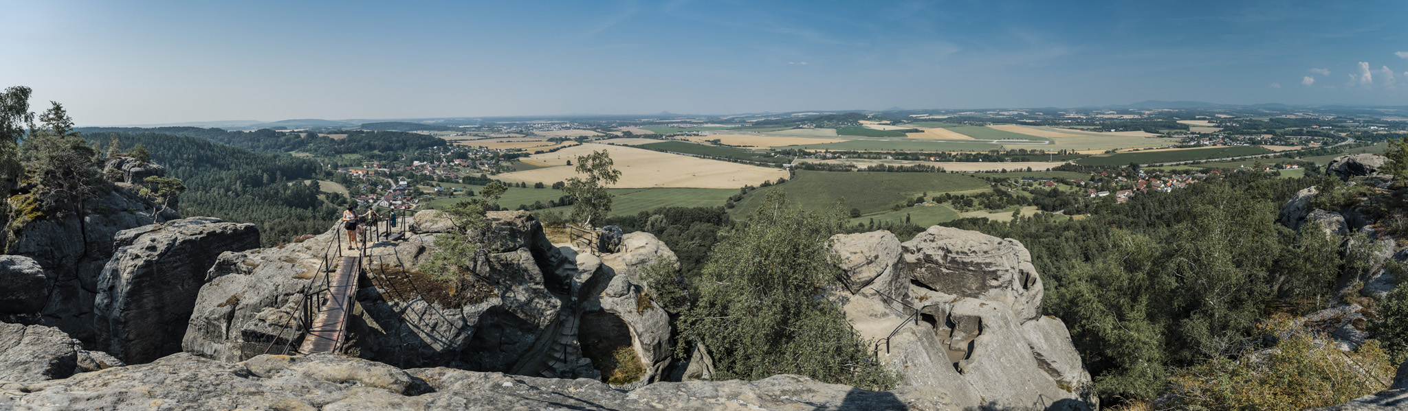
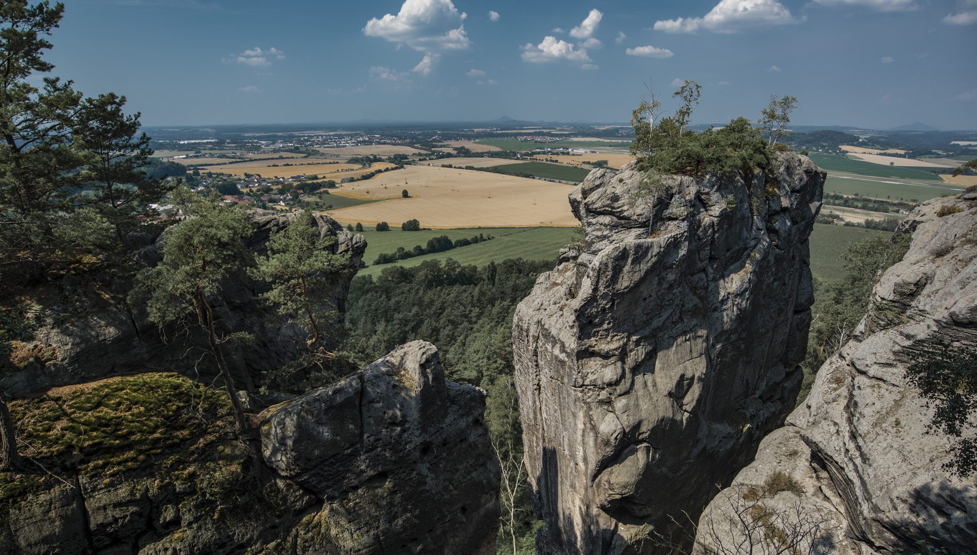
Vyhlídka Českého Ráje (50°28’00″N 15°17’23″E).
![](https://palinski.org/wp-content/uploads/2020/11/DSC0967-Pano.jpg)
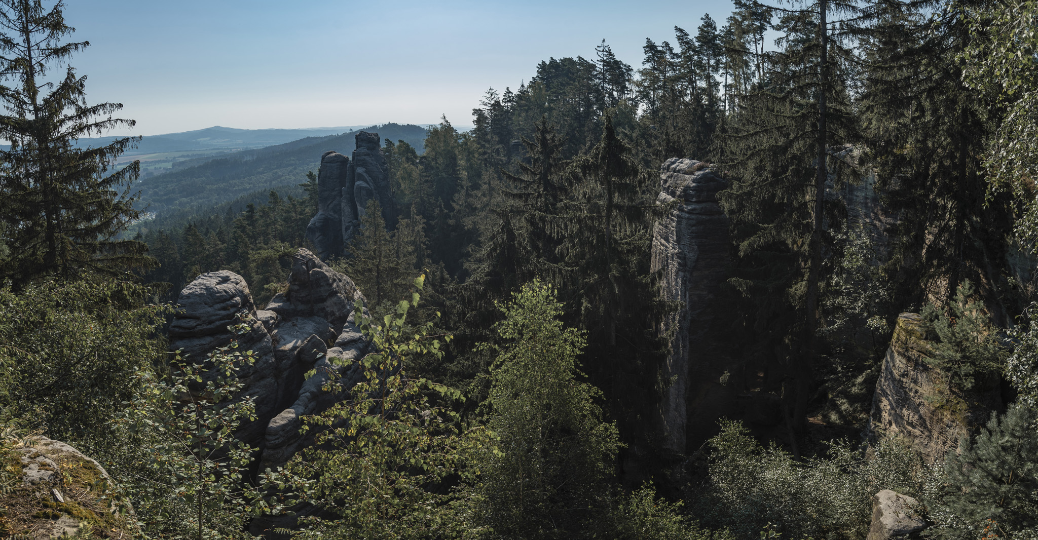
Hlaholská vyhlídka (50°28’01″N 15°17’44″E).
![](https://palinski.org/wp-content/uploads/2020/11/DSC0896-Pano.jpg)
![](https://palinski.org/wp-content/uploads/2020/11/DSC0897-Pano.jpg)
![](https://palinski.org/wp-content/uploads/2020/11/DSC0900.jpg)
![](https://palinski.org/wp-content/uploads/2020/11/DSC0903.jpg)
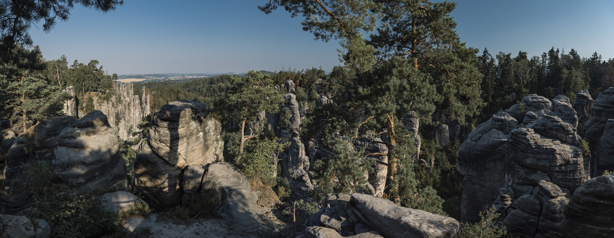
Všetečkova vyhlídka (50°28’04″N 15°17’27″E).
![](https://palinski.org/wp-content/uploads/2020/11/DSC0906-Pano.jpg)
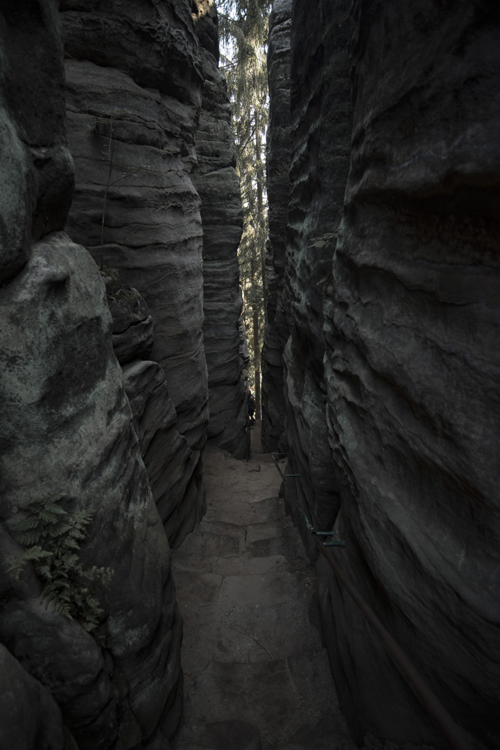
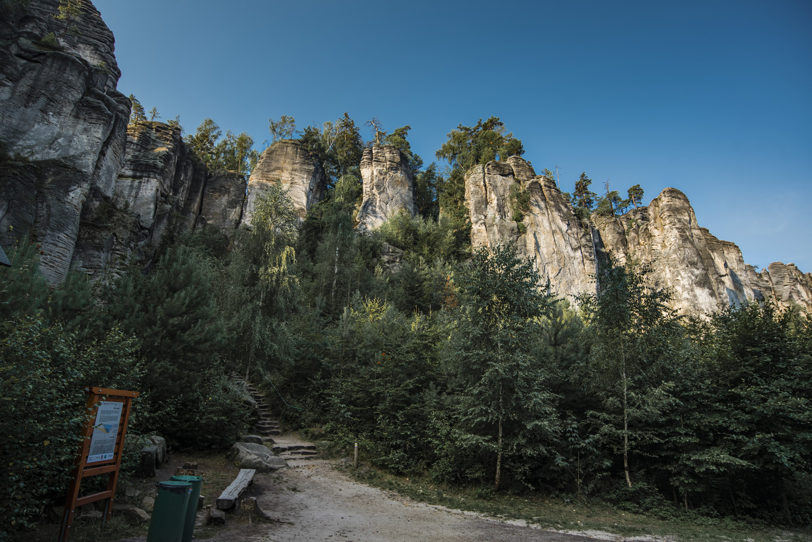
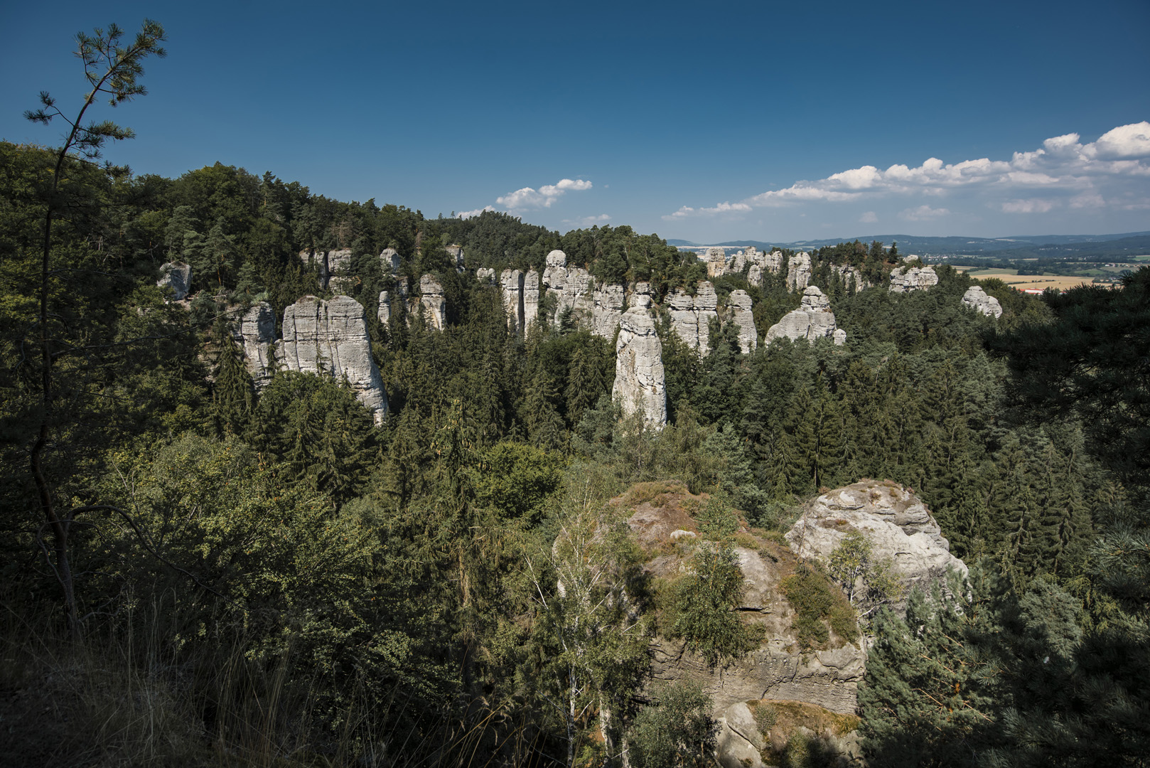
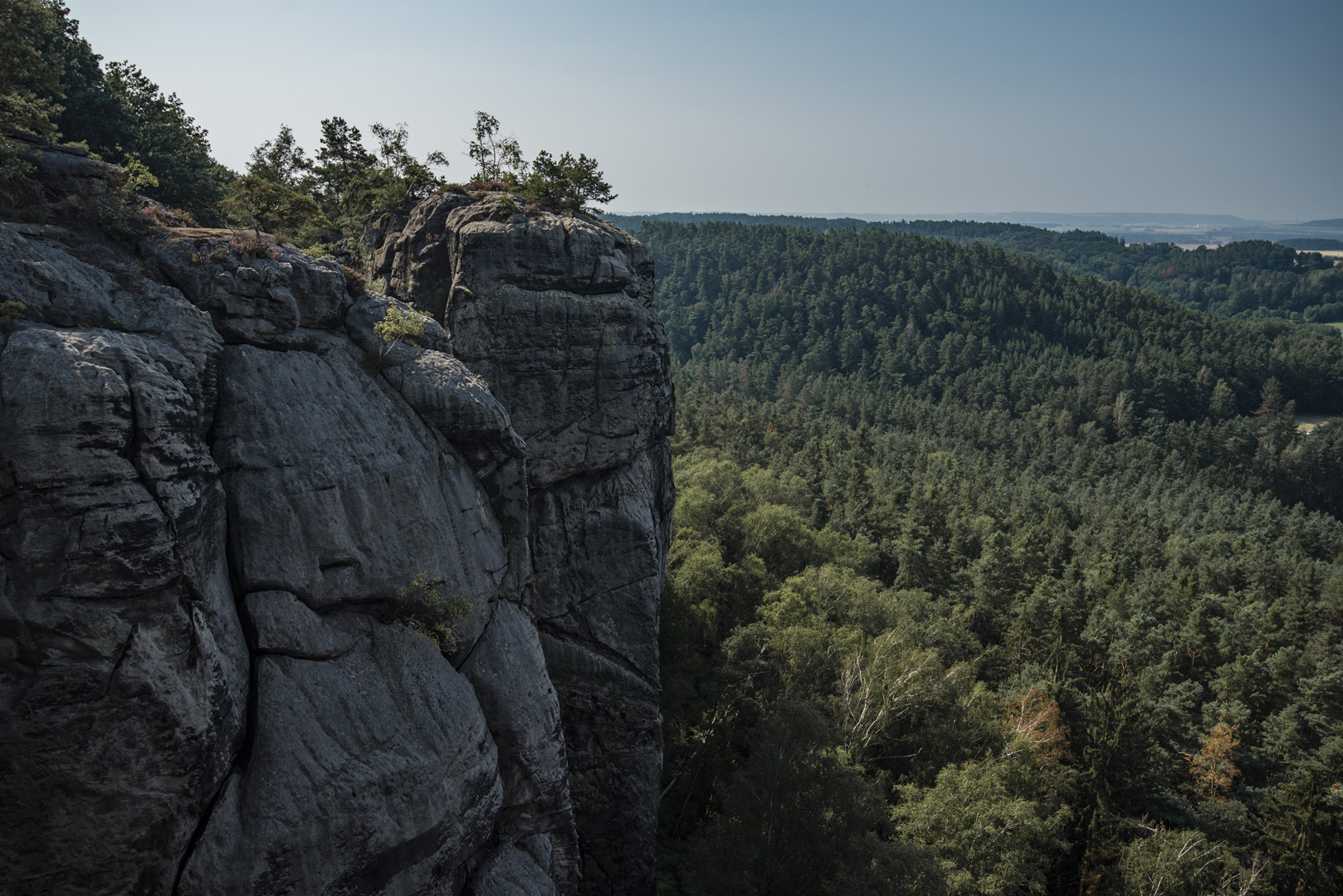
Widok na Prachovskie skaly z dołu
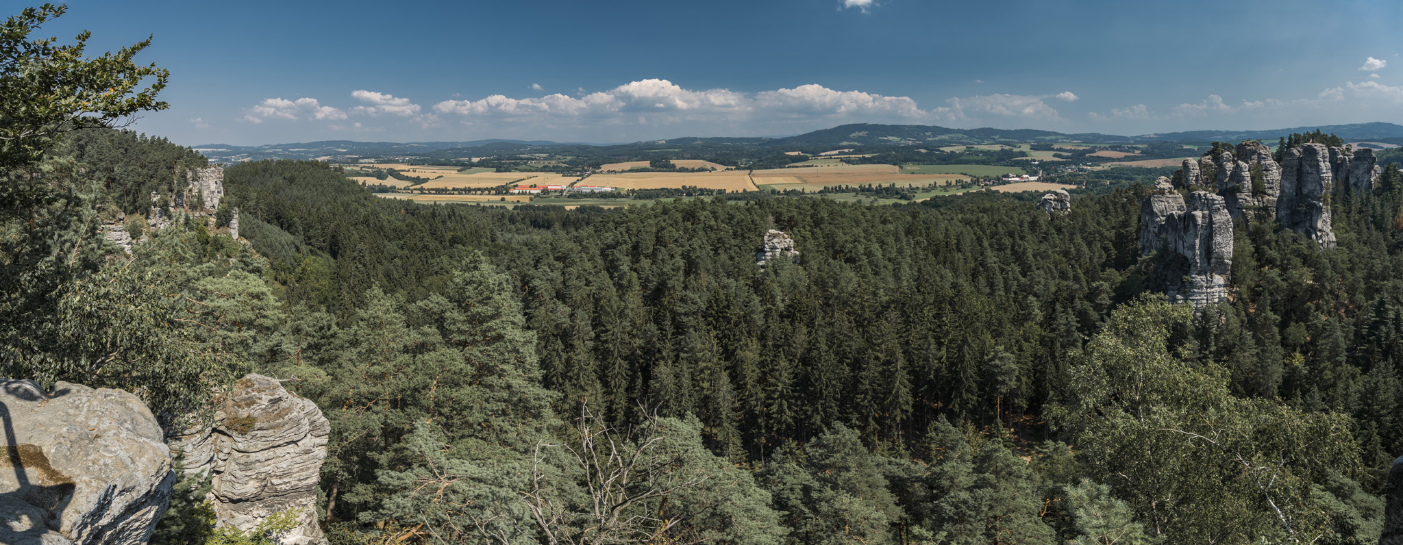
![](https://palinski.org/wp-content/uploads/2020/11/DSC0908-Pano.jpg)
![](https://palinski.org/wp-content/uploads/2020/11/DSC0971.jpg)
Hruboskalsko
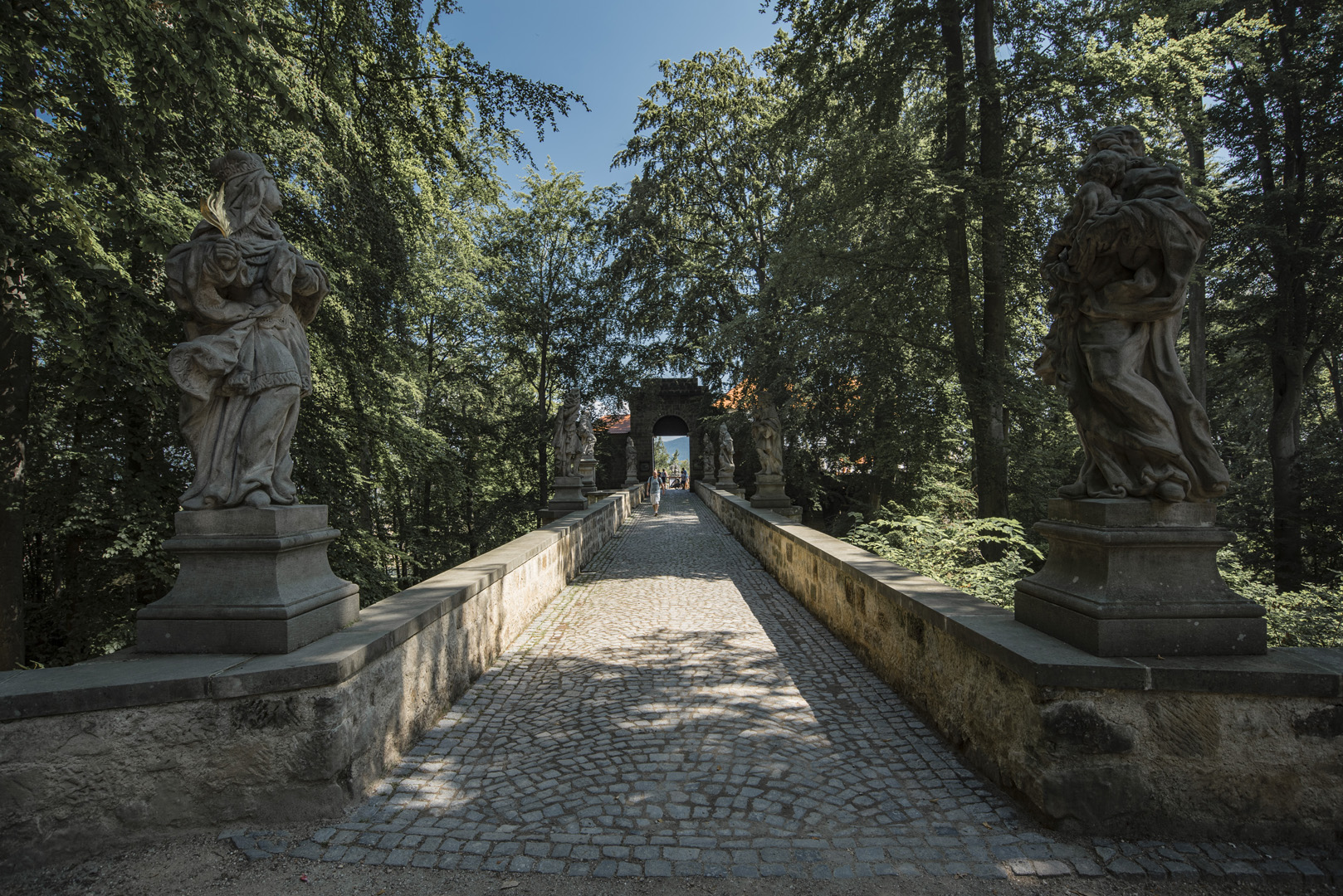
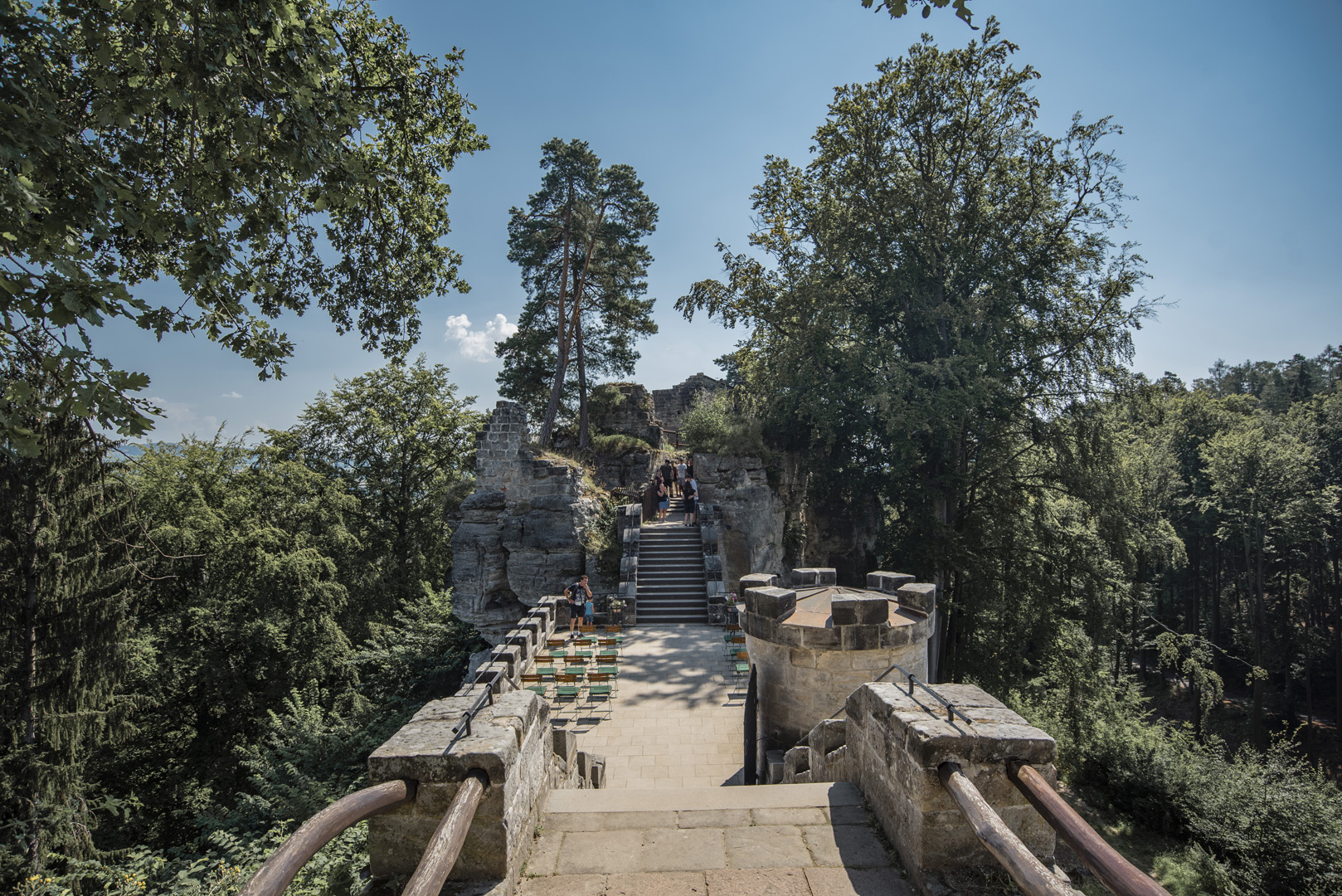
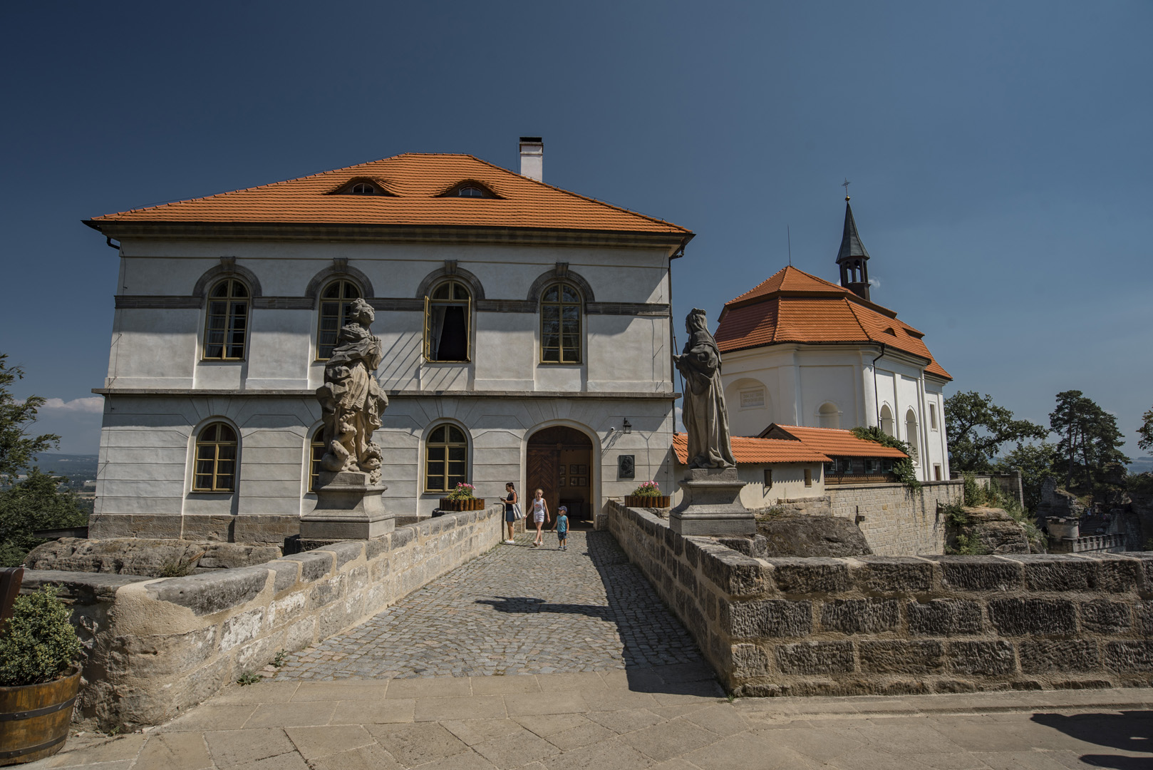
Zamek Valdštejn (50°33’45″N 15°10’01″E).
![](https://palinski.org/wp-content/uploads/2020/11/DSC0911.jpg)
![](https://palinski.org/wp-content/uploads/2020/11/DSC0912.jpg)
![](https://palinski.org/wp-content/uploads/2020/11/DSC0919.jpg)
Janova vyhlídka (50°33’23″N 15°10’24″E).
![](https://palinski.org/wp-content/uploads/2020/11/DSC0924-Pano.jpg)
![](https://palinski.org/wp-content/uploads/2020/11/DSC0926.jpg)
Vyhlídka U Lvíčka (50°33’10″N 15°10’34″E).
![](https://palinski.org/wp-content/uploads/2020/11/DSC0929-Pano.jpg)
Vyhlídka Na Kapelu (50°33’04″N 15°10’45″E).
![](https://palinski.org/wp-content/uploads/2020/11/DSC0936.jpg)
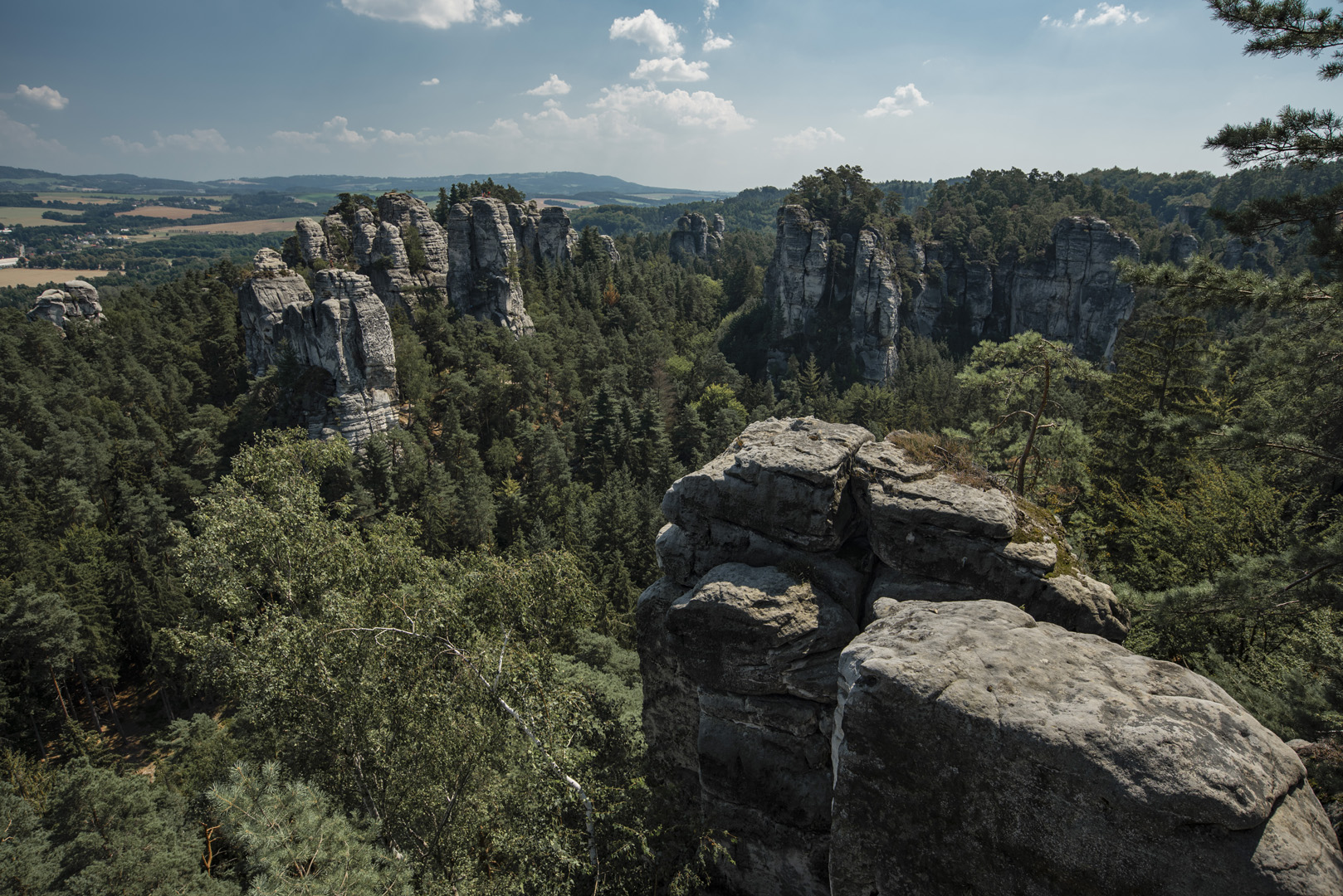
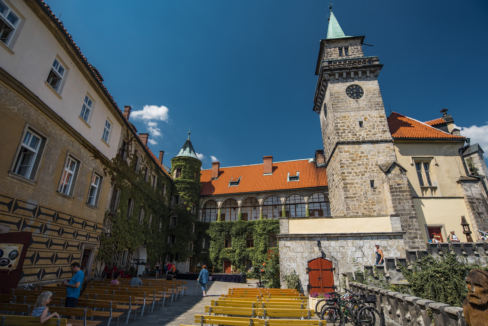
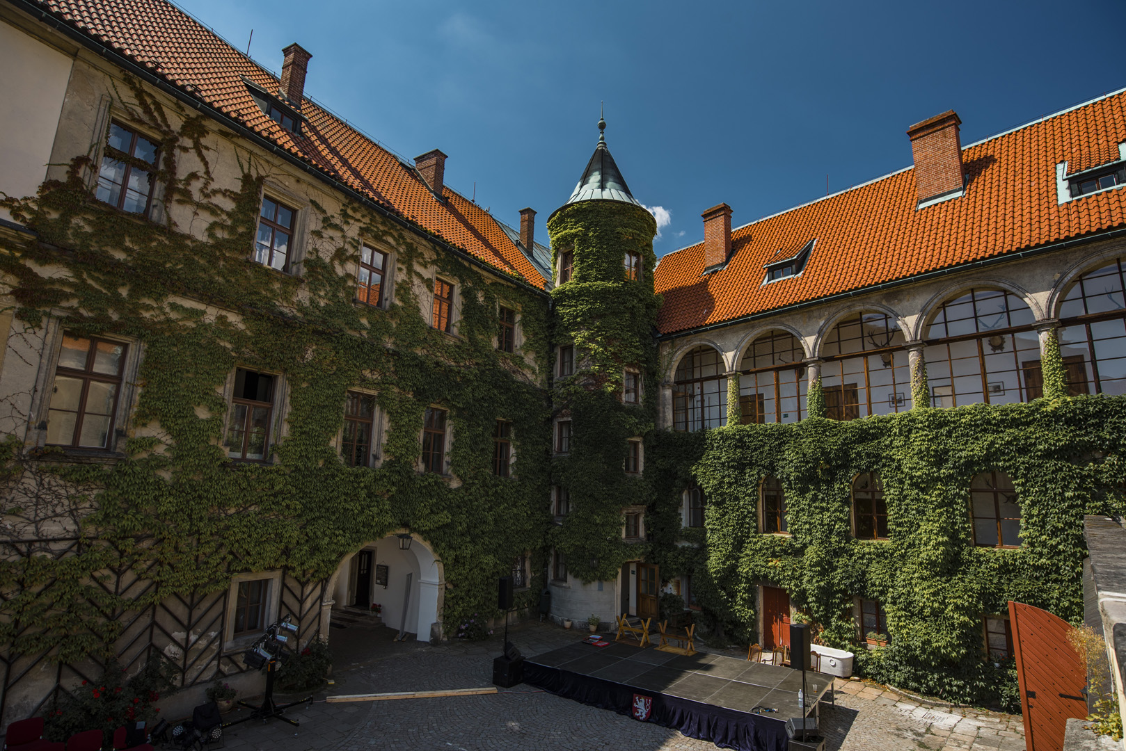
Zamek Hrubá Skála (50°32’42″N 15°11’38″E).
![](https://palinski.org/wp-content/uploads/2020/11/DSC0939.jpg)
![](https://palinski.org/wp-content/uploads/2020/11/DSC0942.jpg)
Zámecká vyhlídka (50°32’47″N 15°11’35″E).
![](https://palinski.org/wp-content/uploads/2020/11/DSC0951.jpg)
![](https://palinski.org/wp-content/uploads/2020/11/DSC0951-Pano.jpg)
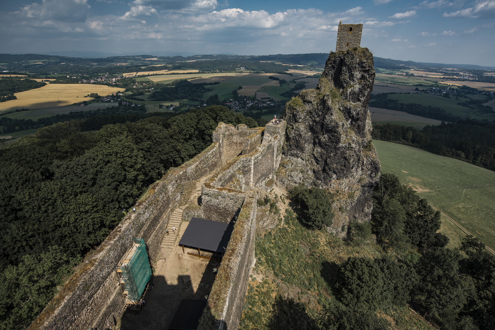
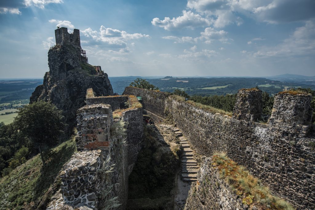
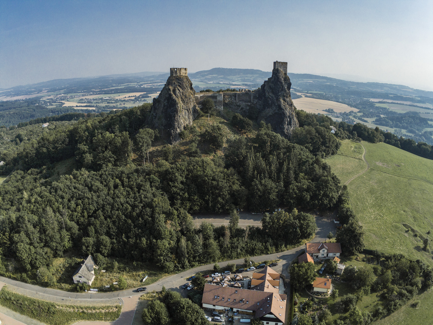
Zamek Trosky (50°30’59″N 15°13’51″E).
![](https://palinski.org/wp-content/uploads/2020/11/DSC0954.jpg)
![](https://palinski.org/wp-content/uploads/2020/11/DSC0960-1024x684.jpg)
![](https://palinski.org/wp-content/uploads/2020/11/P1850395.jpg)
Příhrazské skály
Drábské světničky (50°31’53″N 15°01’56″E).
![](https://palinski.org/wp-content/uploads/2020/11/DSC0975-Pano.jpg)
Punkt widokowy w pobliżu Drábské světničky (50°31’50″N 15°01’57″E).
![](https://palinski.org/wp-content/uploads/2020/11/DSC1003.jpg)
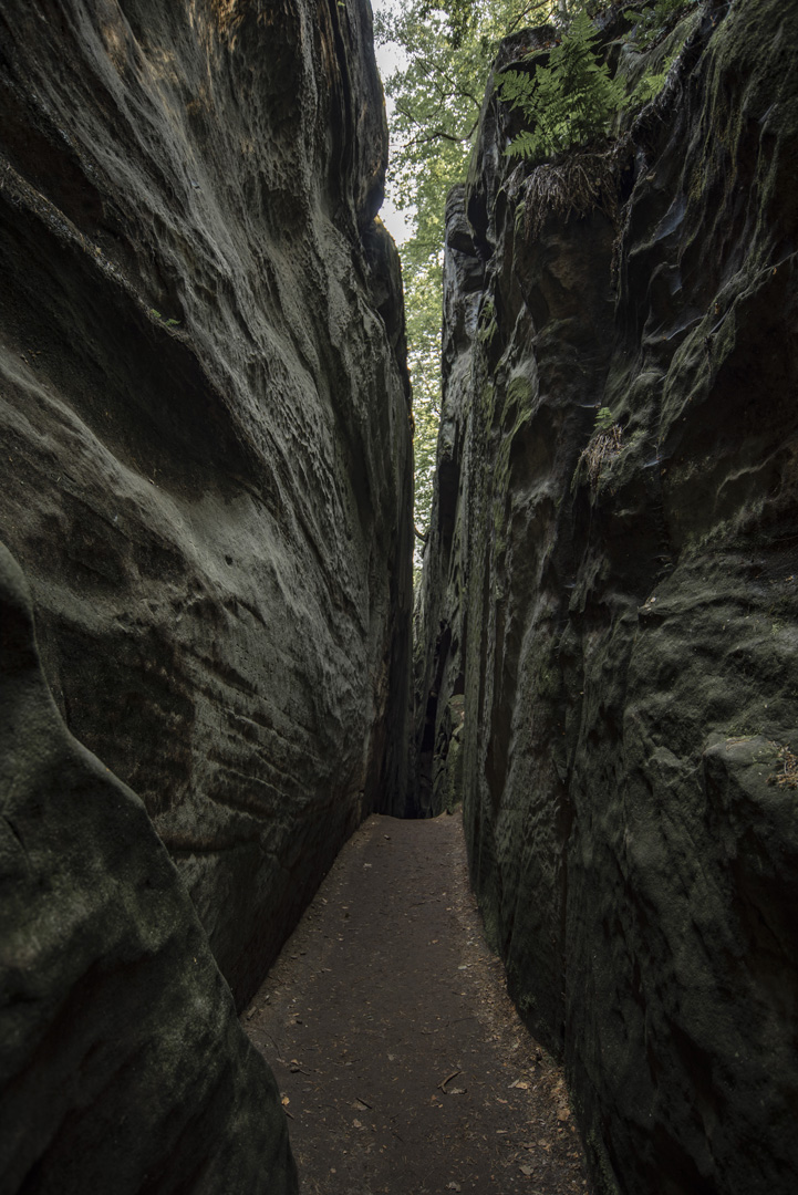
Jedne z wielu widoków w drodze z Drábské světničky na Studený průchod.
![](https://palinski.org/wp-content/uploads/2020/11/DSC0977.jpg)
![](https://palinski.org/wp-content/uploads/2020/11/DSC0979.jpg)
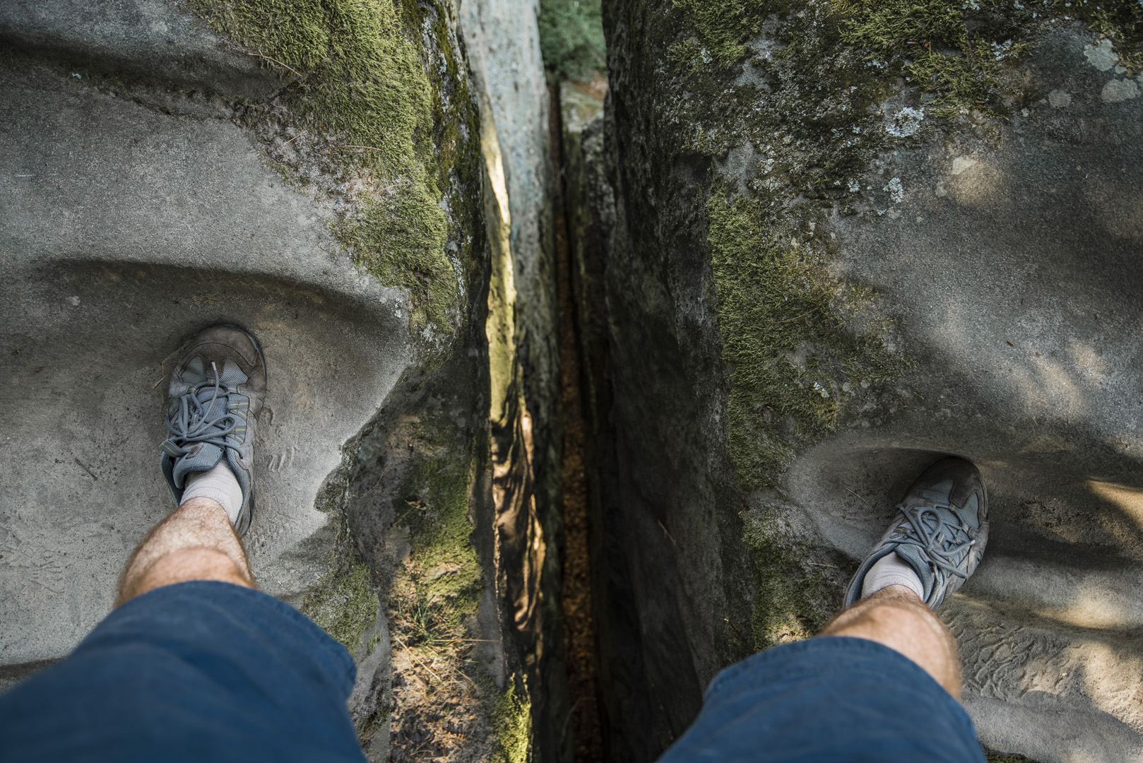
Na niektóre skały można wejść bez problemu na inne trzeba skoczyć z innych skał. Jeśli szczelina między skałami jest mała, to nie ma problemu.
![](https://palinski.org/wp-content/uploads/2020/11/DSC0981.jpg)
Studený průchod (50°31’58″N 15°02’20″E).
![](https://palinski.org/wp-content/uploads/2020/11/DSC0985.jpg)
![](https://palinski.org/wp-content/uploads/2020/11/DSC0987.jpg)
![](https://palinski.org/wp-content/uploads/2020/11/DSC0991.jpg)
![](https://palinski.org/wp-content/uploads/2020/11/DSC0999.jpg)
Hradiště Klamorna (50°31’40″N 15°02’02″E).
![](https://palinski.org/wp-content/uploads/2020/11/DSC1009-Pano.jpg)