Prowincja Alicante
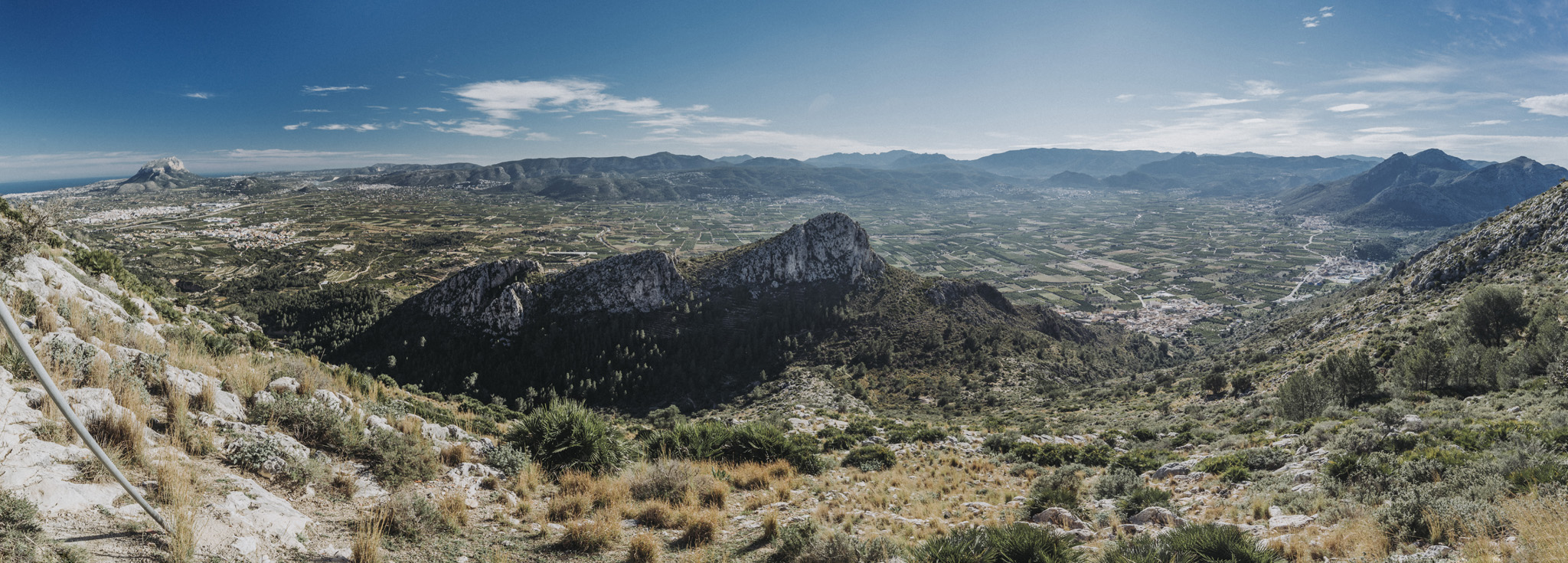
Widok ze szczytu góry Segaria, przy antenach telekomunikacyjnych (38°49’50″N 0°02’05″W, ok. 450 m n. p. m.). W tle, po lewej stronie widoczna góra Montgo.
![](https://palinski.org/wp-content/uploads/2020/02/DSC8962-Pano.jpg)
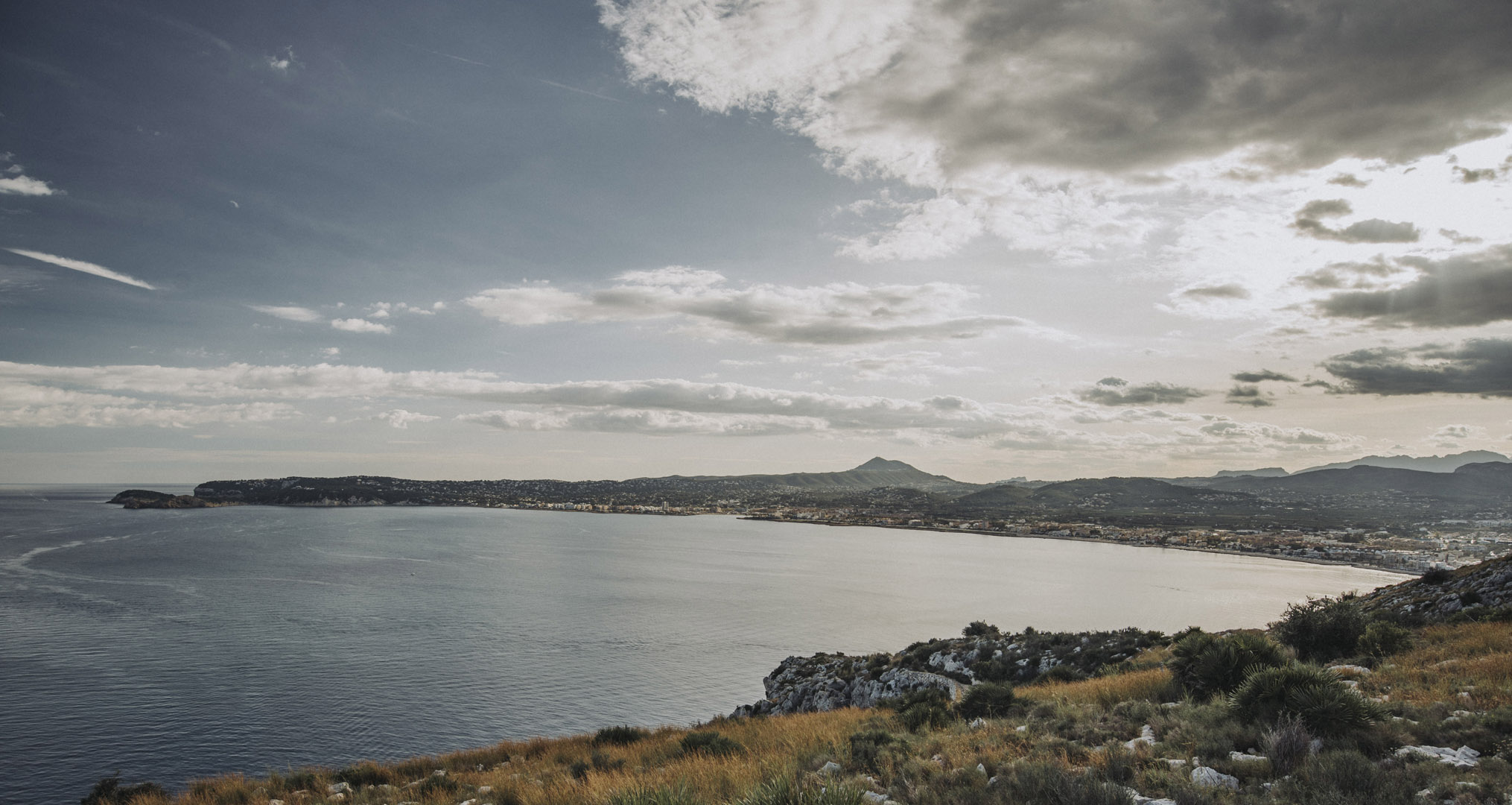
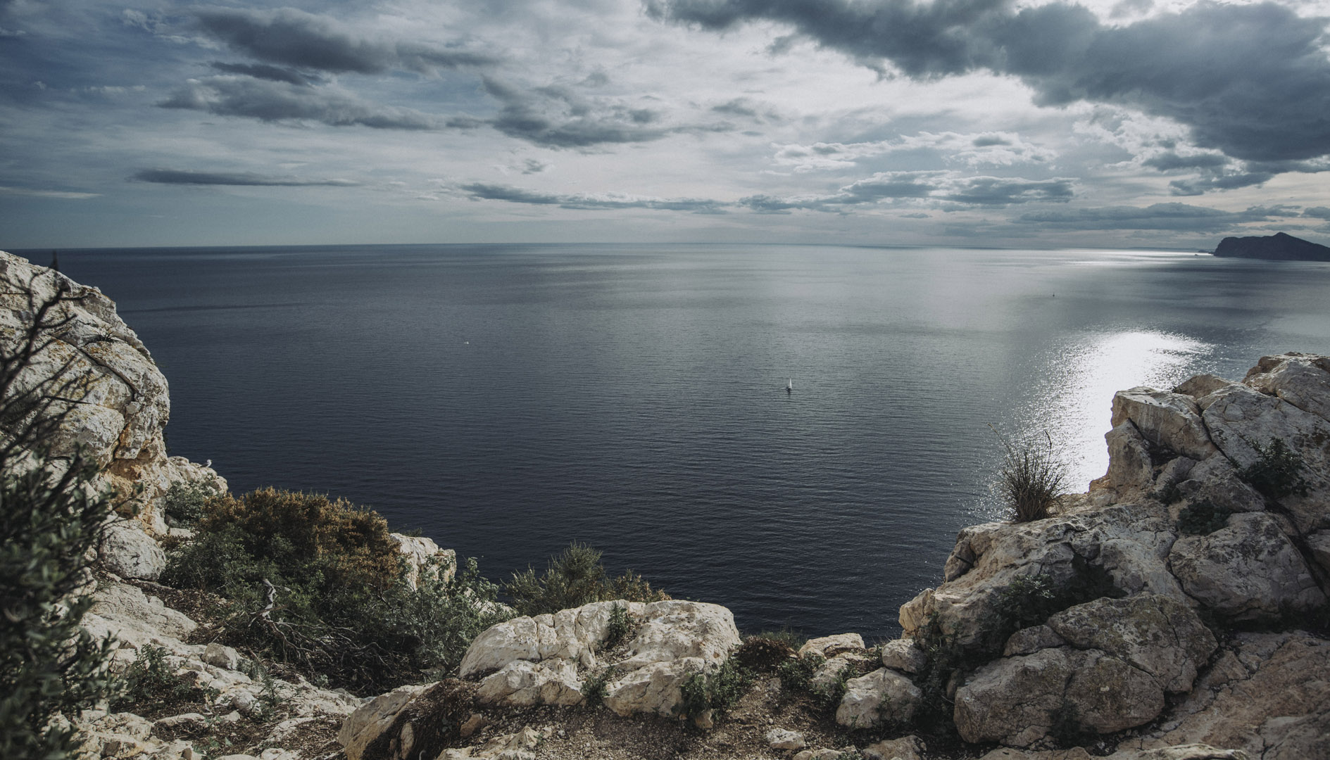
Widok z okolic latarni morskiej na przylądku świętego Antoniego (El Cabo de San Antonio, 38°48’10″N 0°11’47″E).
![](https://palinski.org/wp-content/uploads/2019/12/DSC7454.jpg)
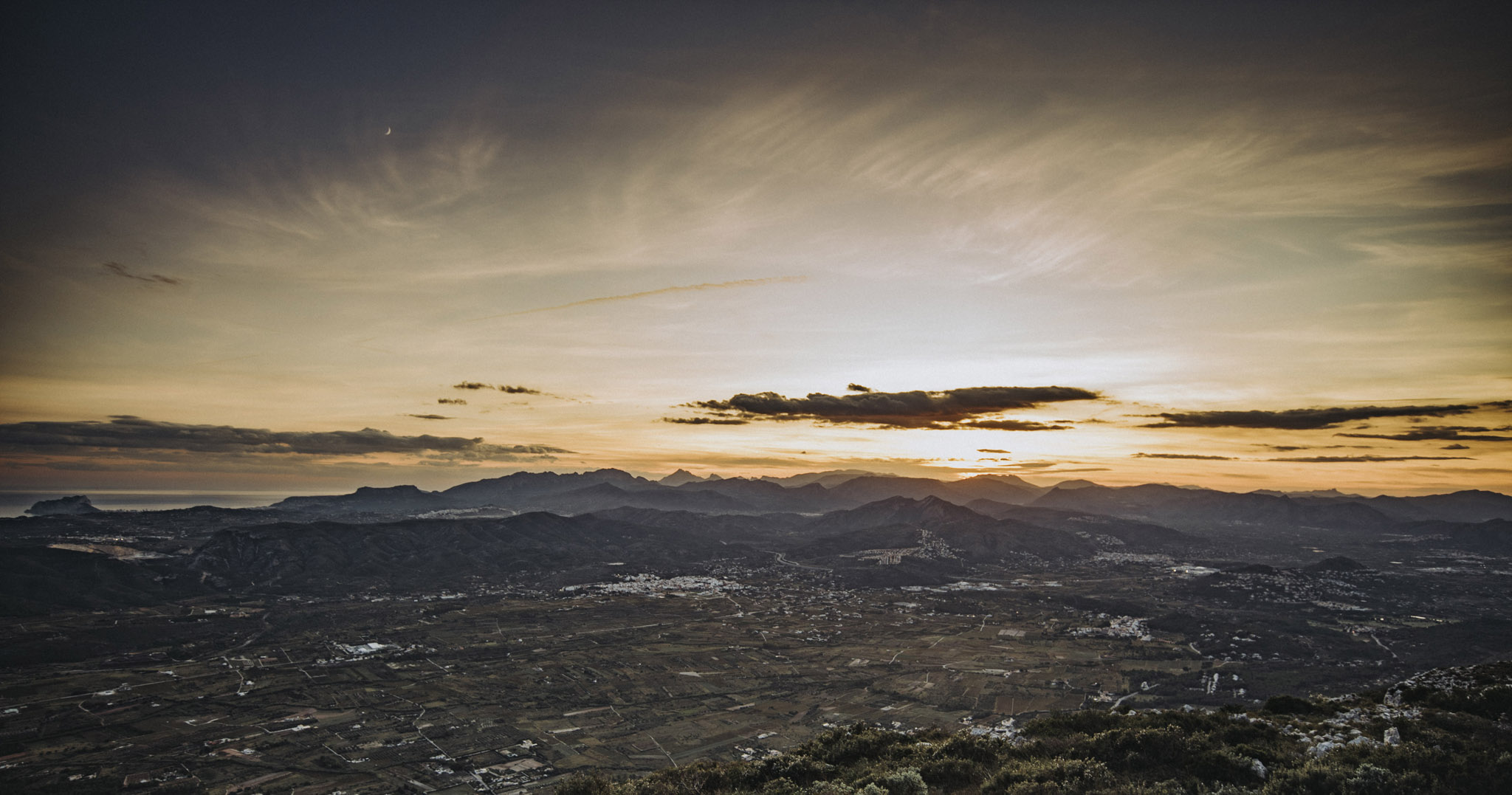
Widok na zachód z góry Montgo (38°48’12″N 0°07’45″E, 753 m n. p. m.).
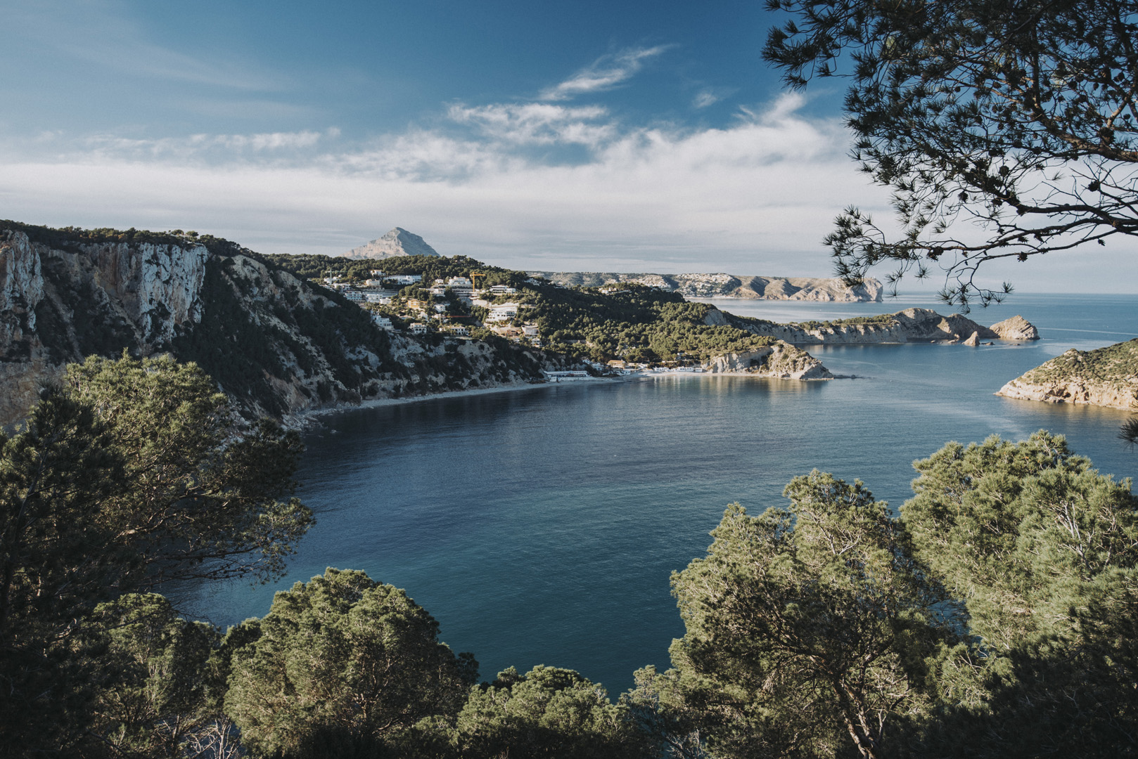
![](https://palinski.org/wp-content/uploads/2019/12/DSC7457.jpg)
Przylądek Nau
Przylądek Nau jest miejscem z wieloma klifami, położonym pomiędzy Alicante i Walencją. Jest to miejsce, gdzie wiele domów posiadają bogatsi mieszkańcy Walencji. Na mapach satelitarnych można zobaczyć, że KAŻDY dom ma swój własny basen :) .
Cap de la Nau (38°43’58″N 0°13’43″E).
![](https://palinski.org/wp-content/uploads/2020/02/DSC8964.jpg)
Cab Negre (38°44’44″N 0°13’56″E).
![](https://palinski.org/wp-content/uploads/2020/02/DSC8969.jpg)
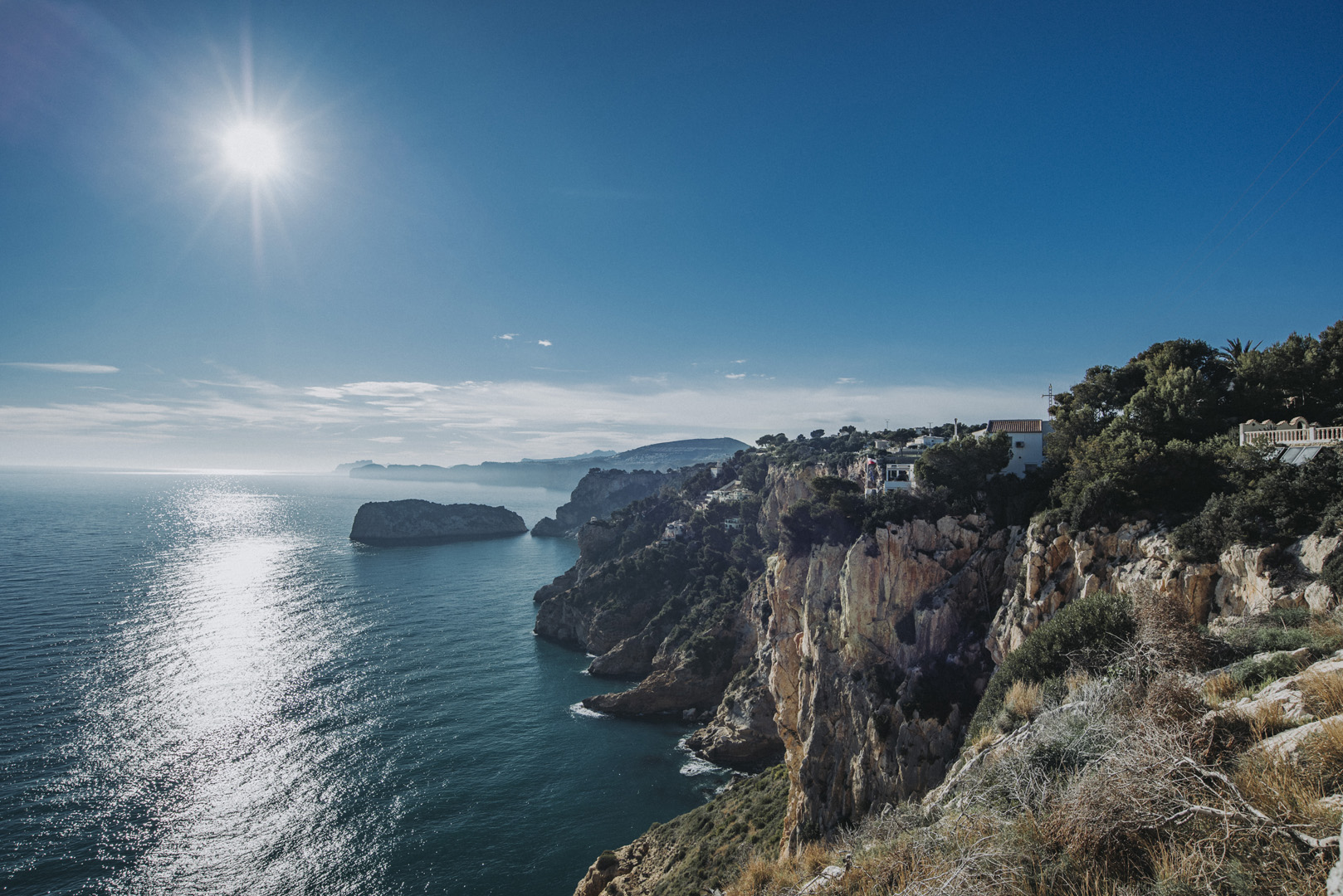
Mirador del Ambolo (38°43’48″N 0°12’55″E). Wejście do tego punktu widokowego jest małe i dość ukryte – cztery razy przejeżdżałem obok zanim zobaczyłem wejście.
![](https://palinski.org/wp-content/uploads/2020/02/DSC8987-HDR.jpg)
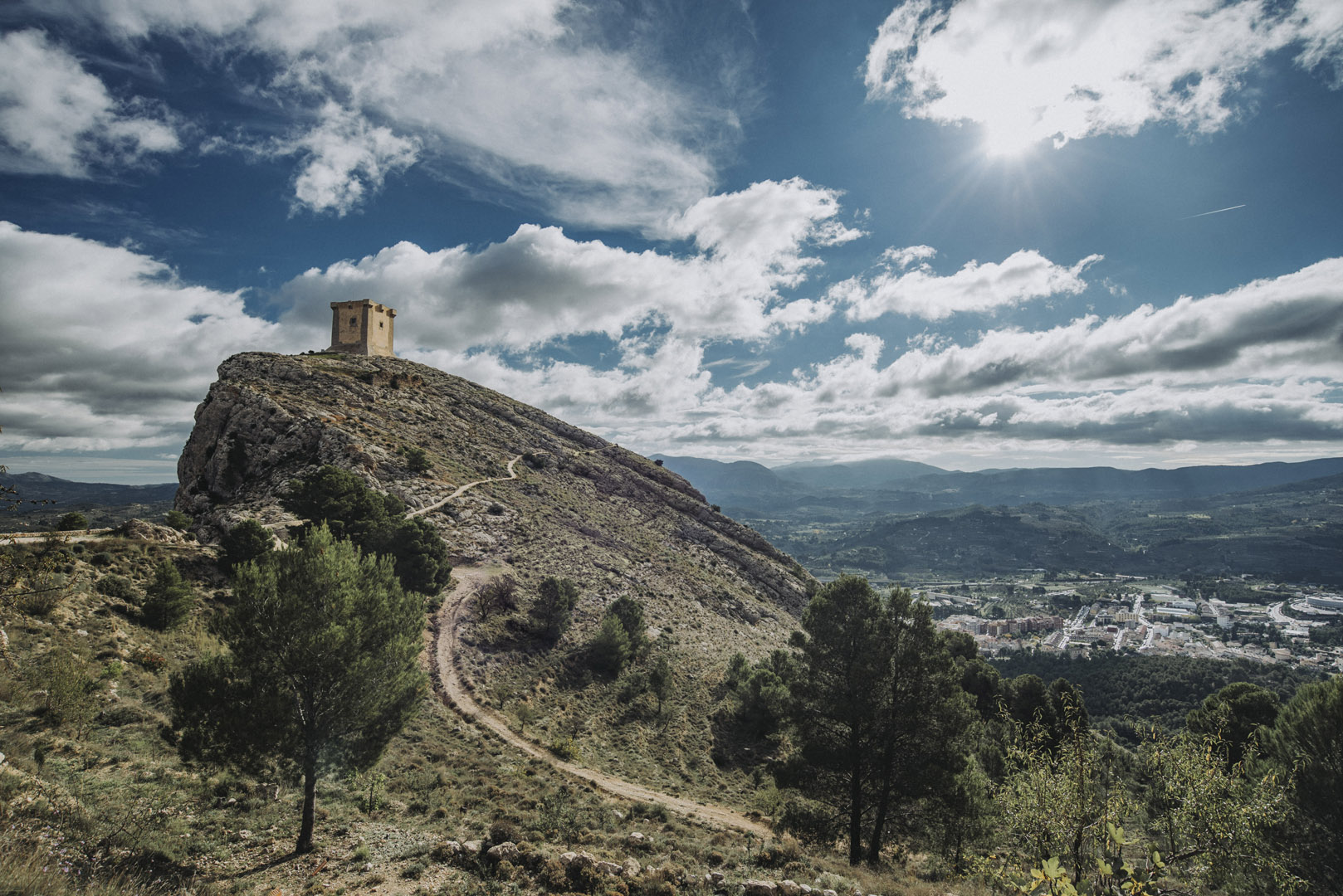
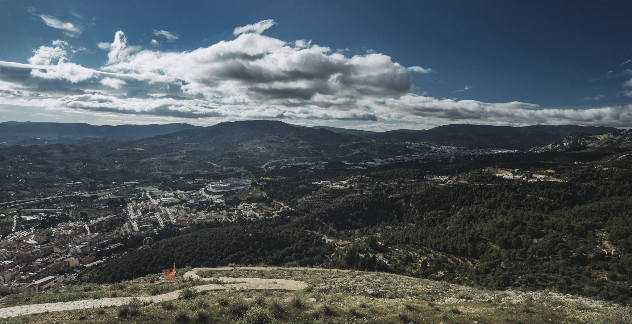
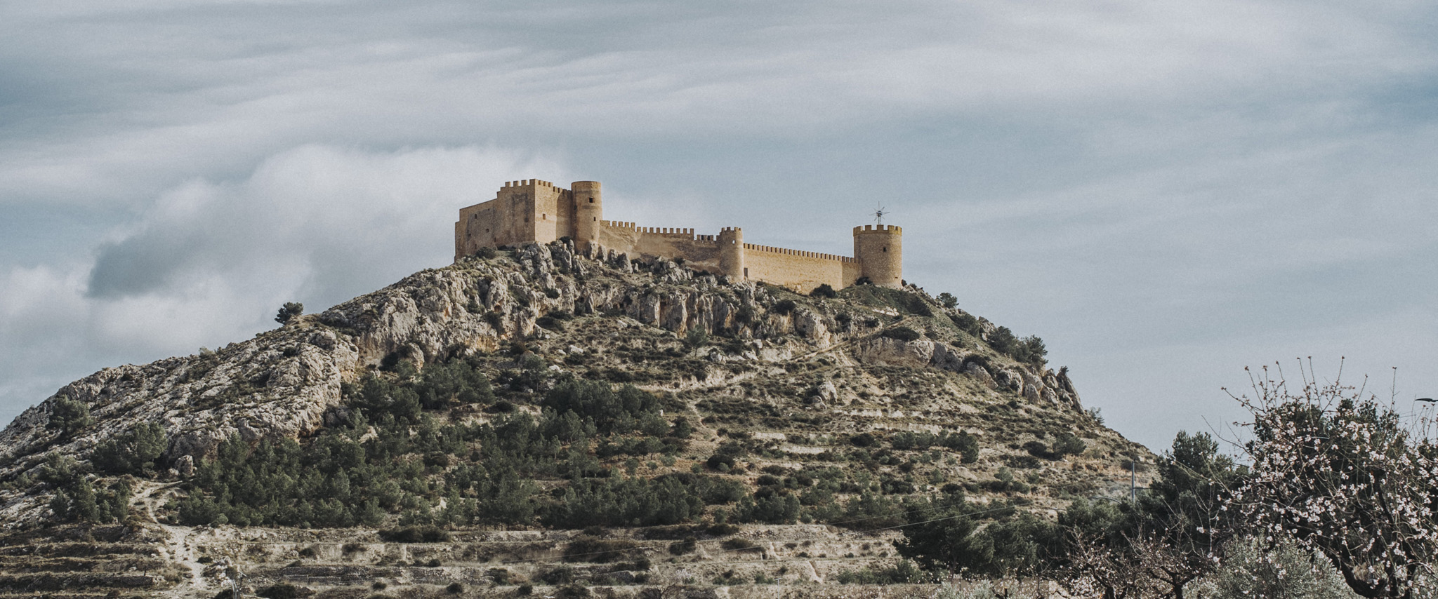
Zamek Cocentaina (38°44’45″N 0°26’51″W, 750 m n. p. m.).
![](https://palinski.org/wp-content/uploads/2019/12/DSC7465.jpg)
![](https://palinski.org/wp-content/uploads/2019/12/DSC7473.jpg)
![](https://palinski.org/wp-content/uploads/2019/12/DSC7468.jpg)
![](https://palinski.org/wp-content/uploads/2019/12/DSC7471.jpg)
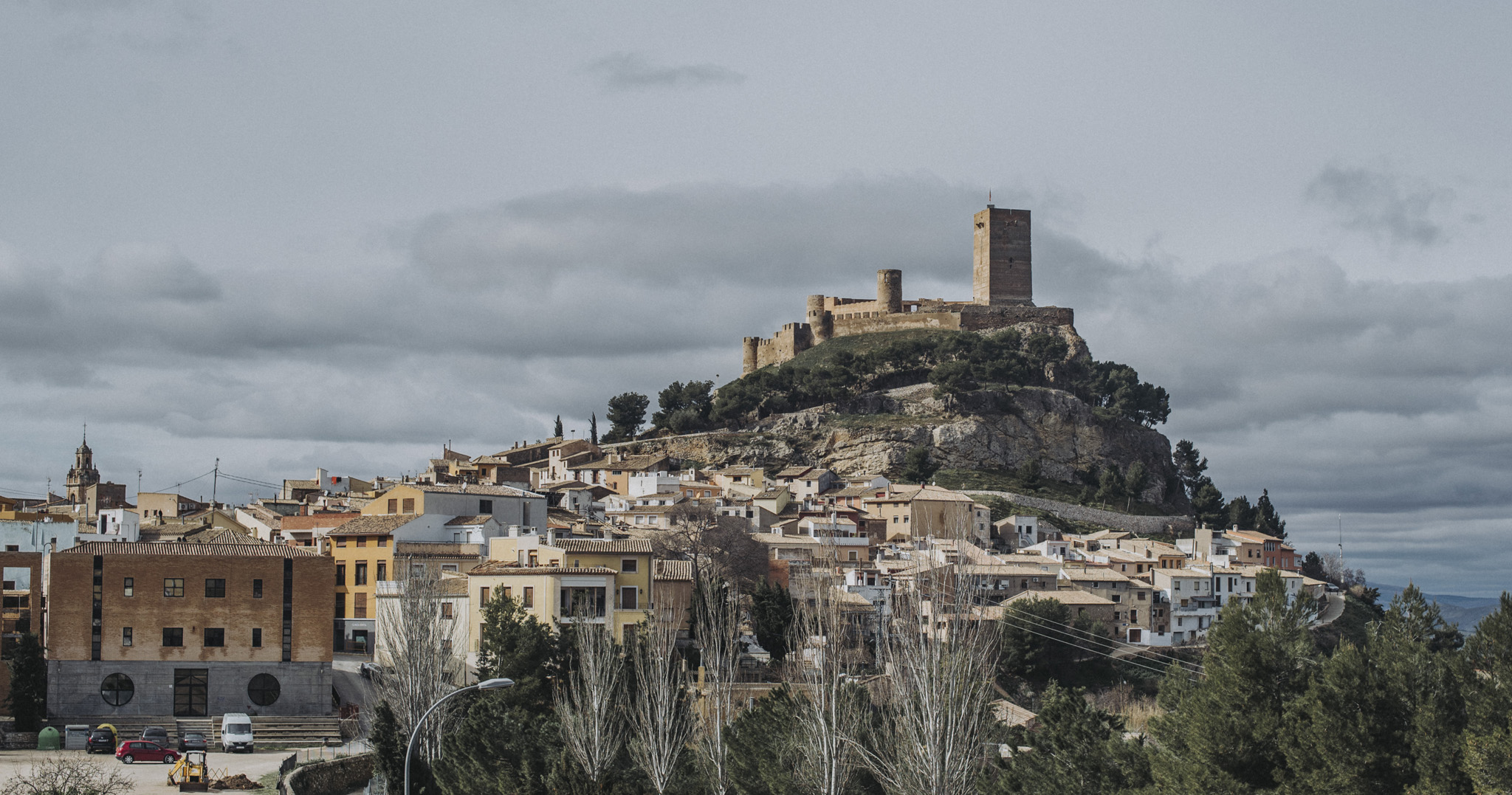
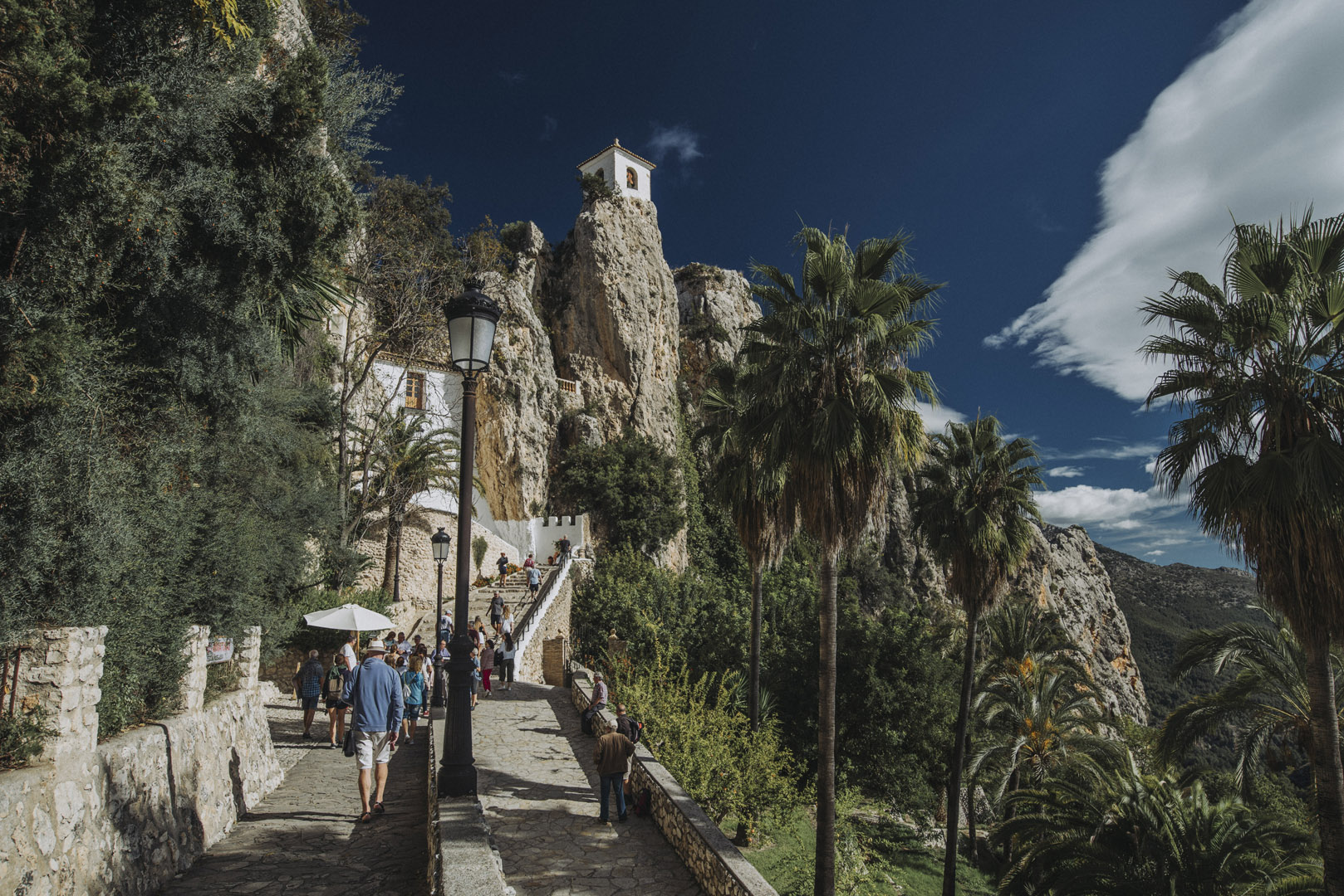
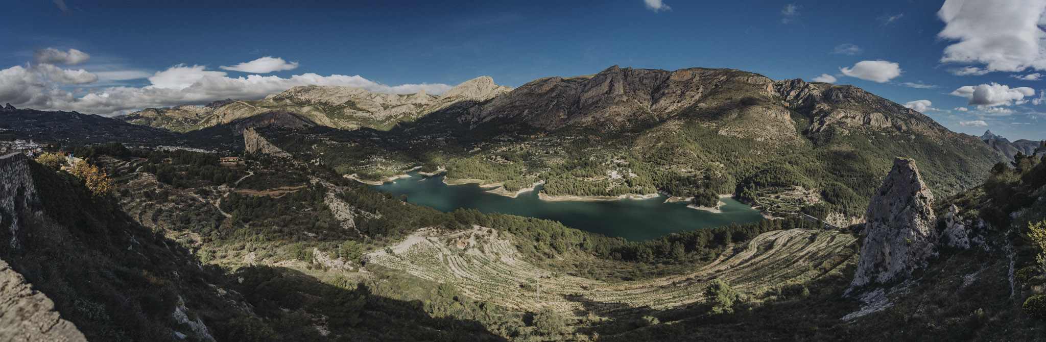
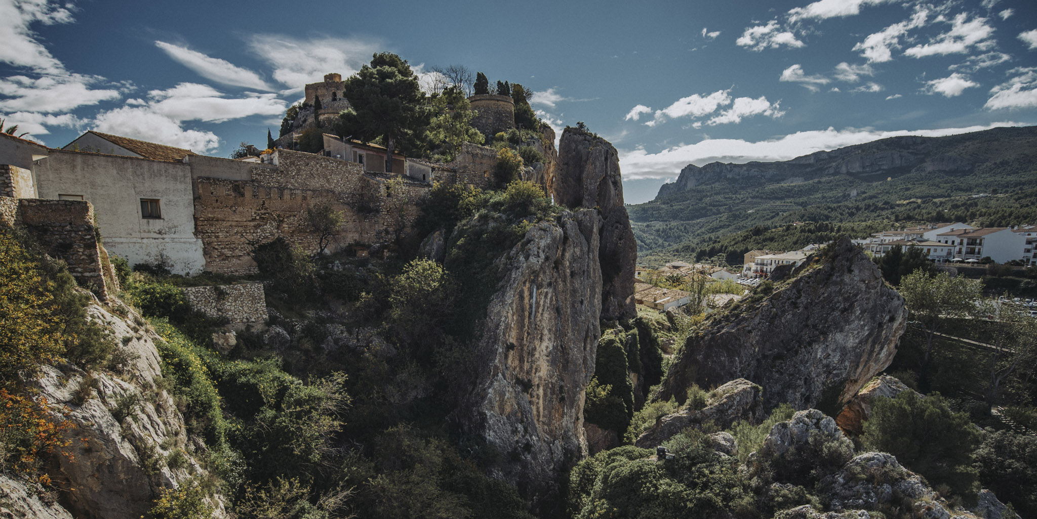
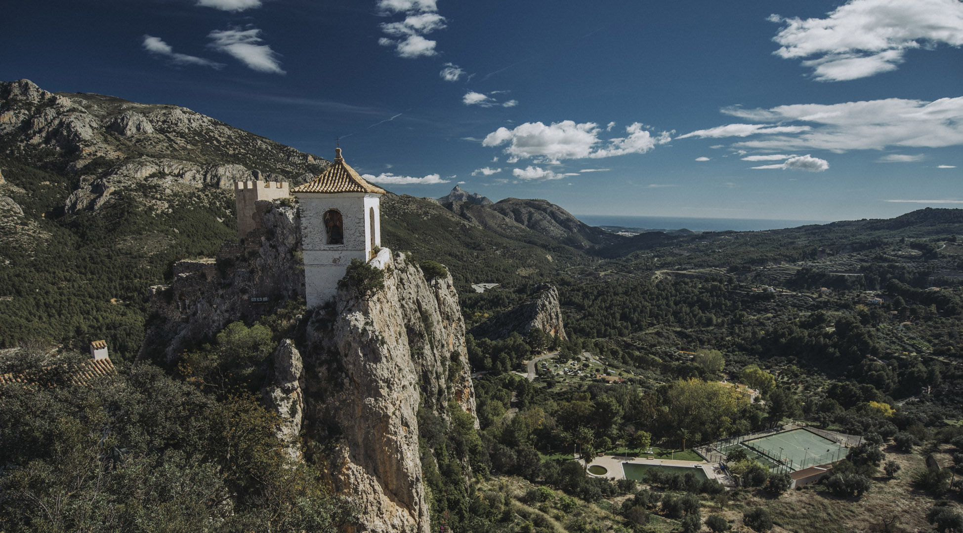
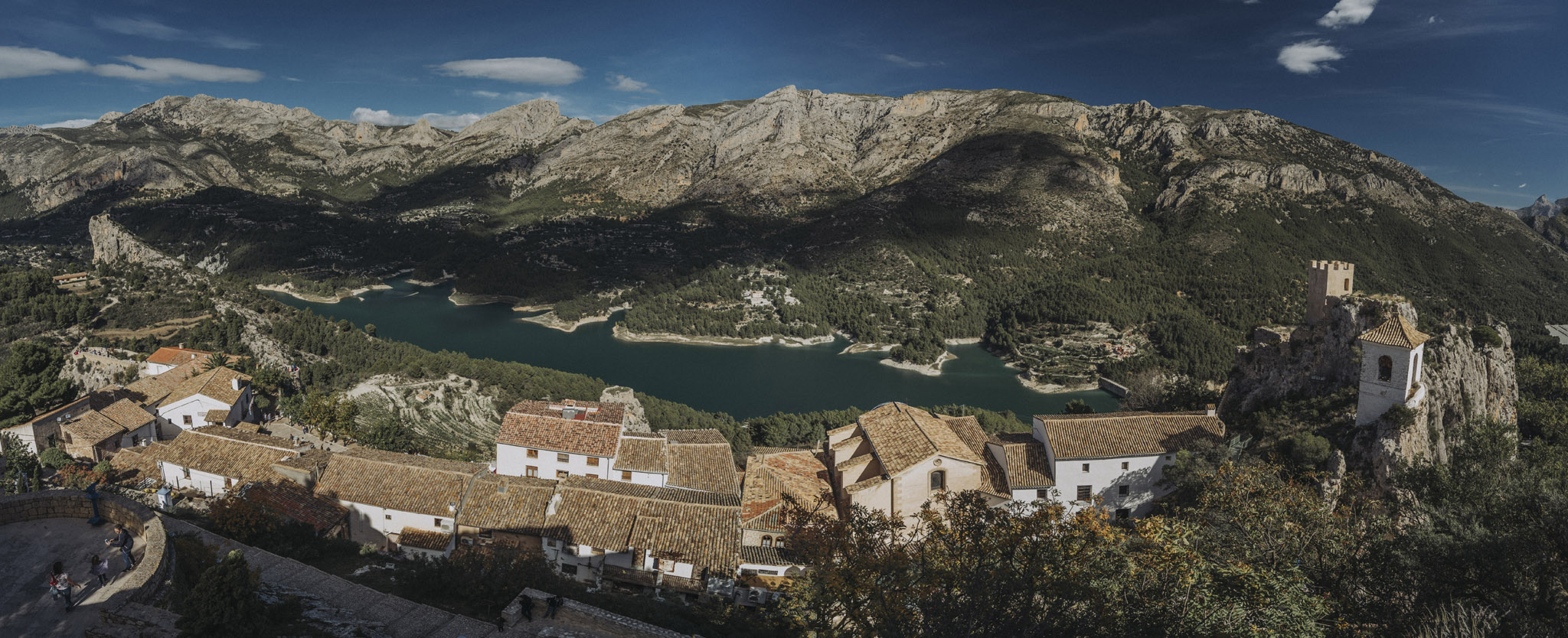
Zamek w Guadalest (El Castell de Guadalest, 38°40’37″N 0°11’54″W).
![](https://palinski.org/wp-content/uploads/2019/12/DSC7476.jpg)
![](https://palinski.org/wp-content/uploads/2019/12/DSC7484-Pano.jpg)
![](https://palinski.org/wp-content/uploads/2019/12/DSC7486.jpg)
![](https://palinski.org/wp-content/uploads/2019/12/DSC7488.jpg)
![](https://palinski.org/wp-content/uploads/2019/12/DSC7494-Pano.jpg)
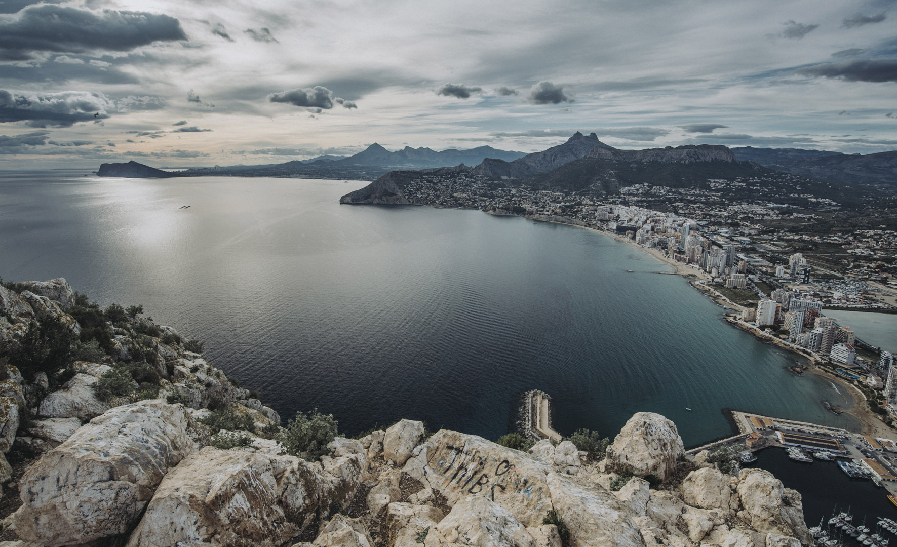
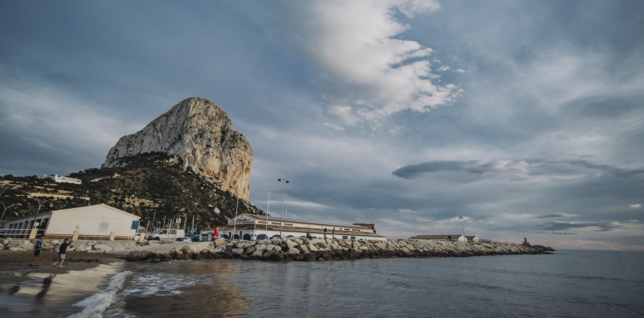
Półwysep Peñón de Ifach (38°38’06″N 0°04’31″E, 332 m n. p. m.).
![](https://palinski.org/wp-content/uploads/2019/12/DSC7506.jpg)
![](https://palinski.org/wp-content/uploads/2019/12/DSC7508.jpg)
![](https://palinski.org/wp-content/uploads/2019/12/DSC7510.jpg)
![](https://palinski.org/wp-content/uploads/2019/12/DSC7511.jpg)
![](https://palinski.org/wp-content/uploads/2019/12/DSC7515.jpg)
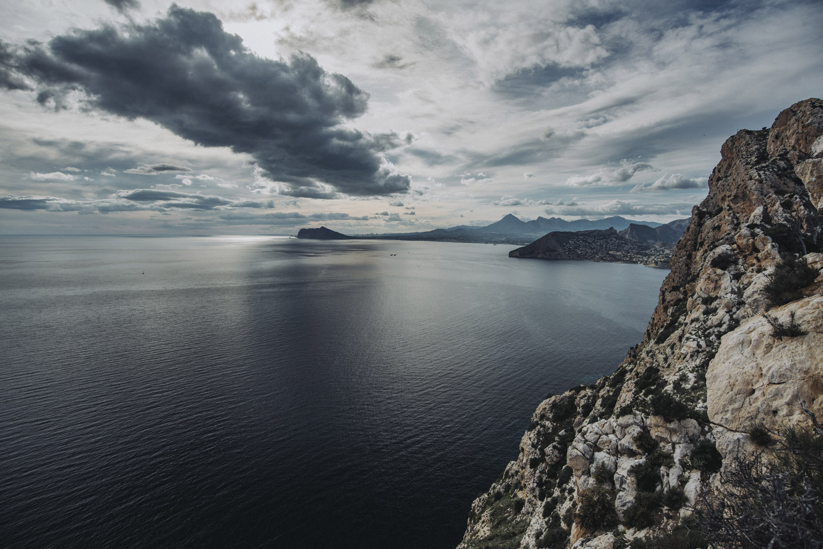
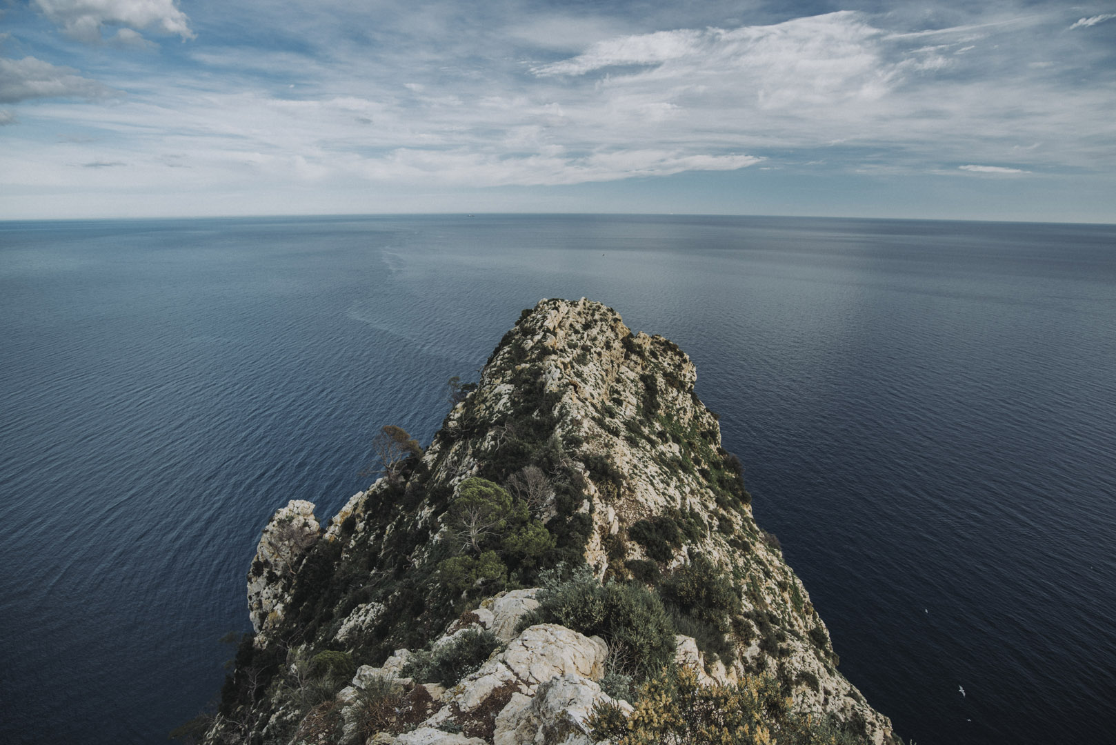
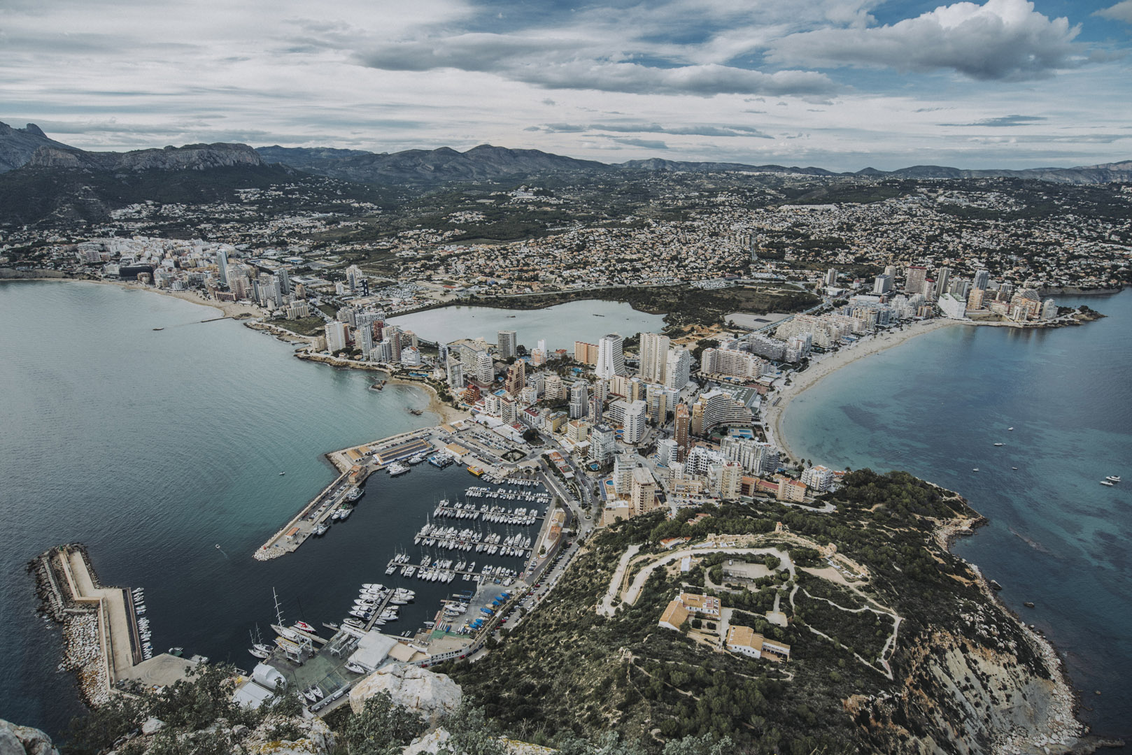
I widok na półwysep od strony miasta.
![](https://palinski.org/wp-content/uploads/2019/12/DSC7520.jpg)
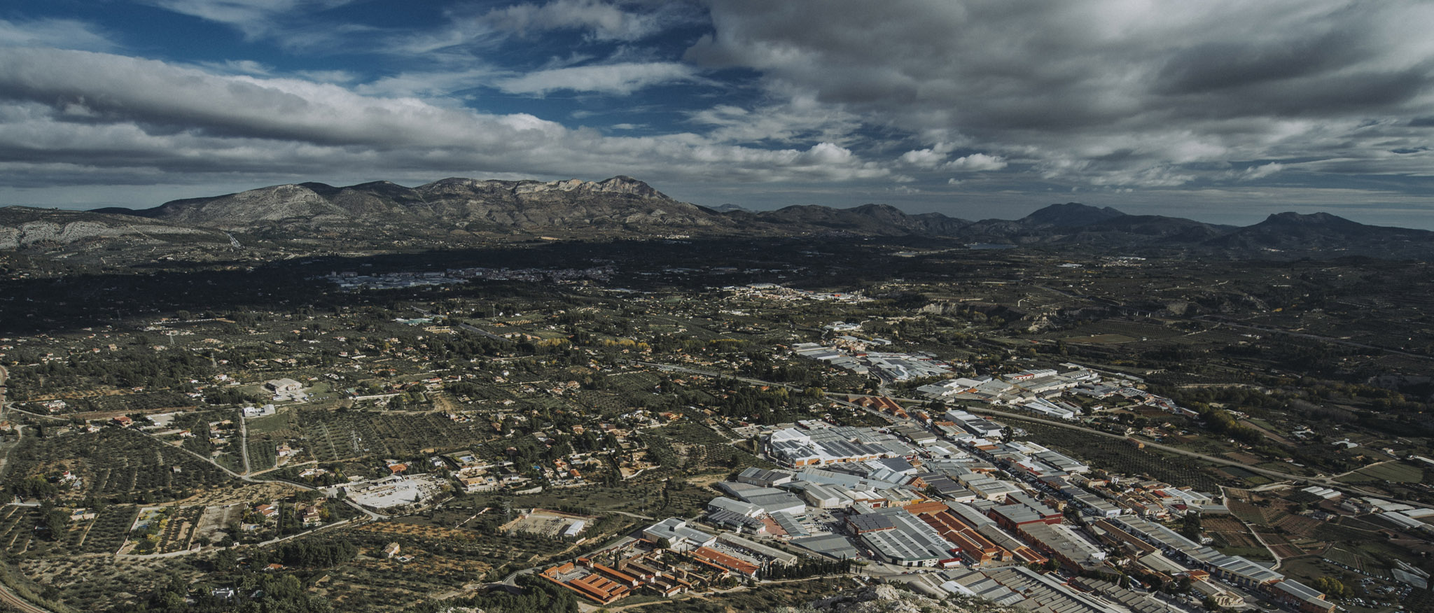
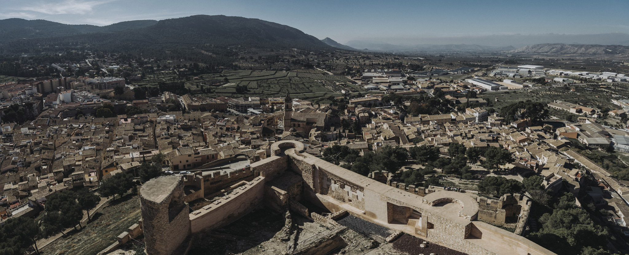
Zamek w mieście Castalla (38°35’51″N 0°40’23″W). Niestety zamek był zamknięty a sprzed zamku widoki nie były szczególnie ładne.
![](https://palinski.org/wp-content/uploads/2020/02/DSC8881.jpg)
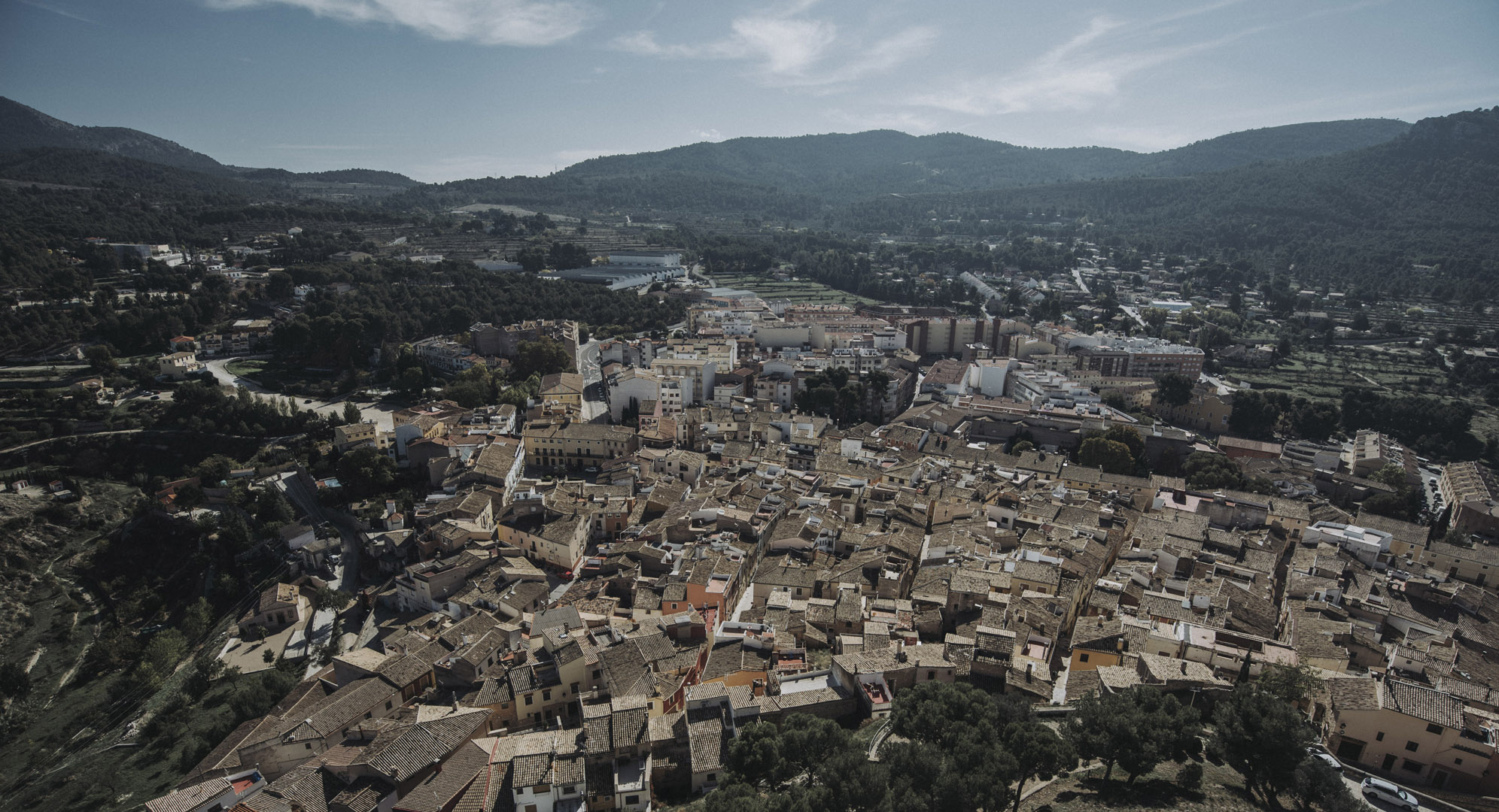
Widok z zamku w Biar (38°37’52″N 0°45’53″W).
![](https://palinski.org/wp-content/uploads/2020/02/DSC7357-Pano.jpg)
![](https://palinski.org/wp-content/uploads/2020/02/DSC7358.jpg)
Oraz widok na sam zamek.
![](https://palinski.org/wp-content/uploads/2020/02/DSC8886.jpg)