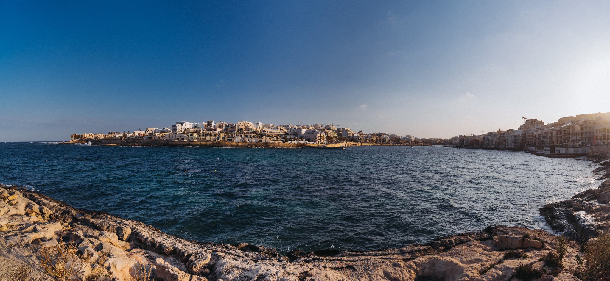
Gozo is the second biggest island on Malta, it has about 35 000 inhabitants.
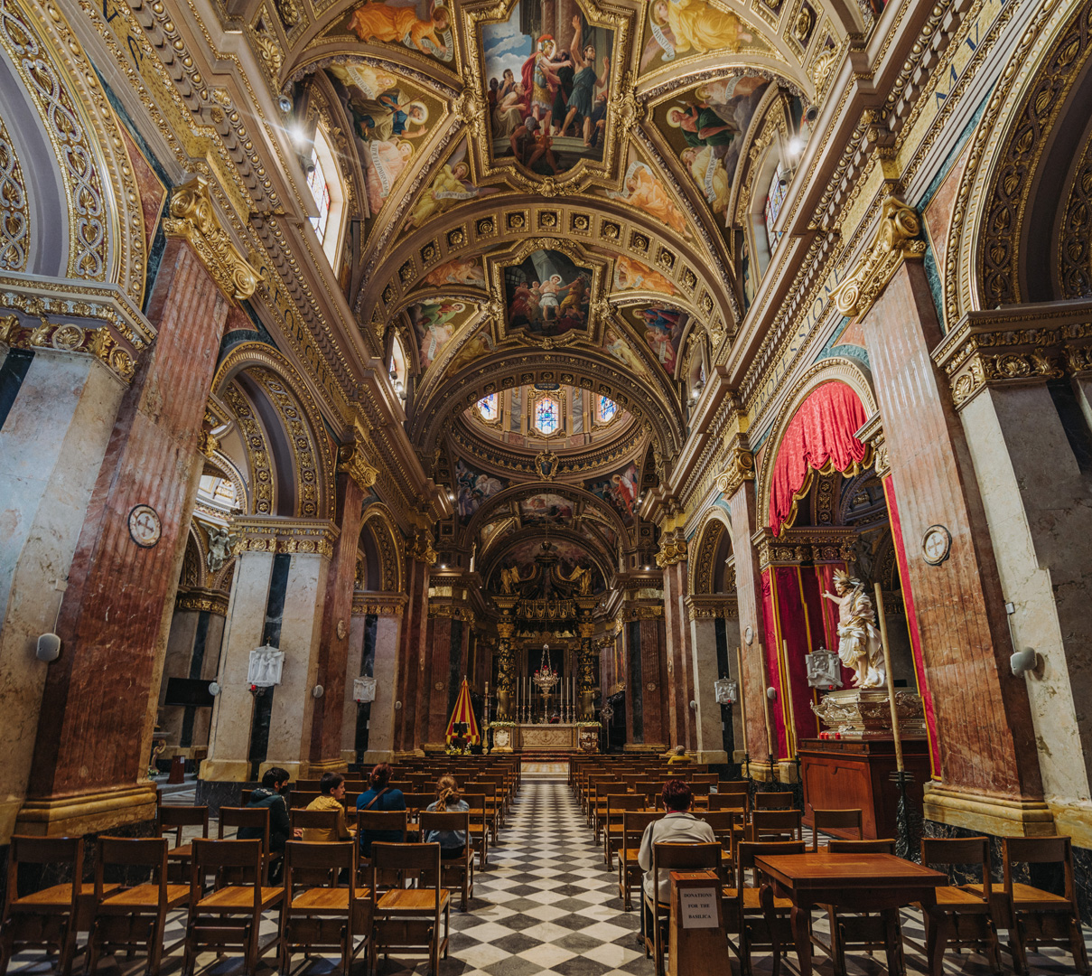
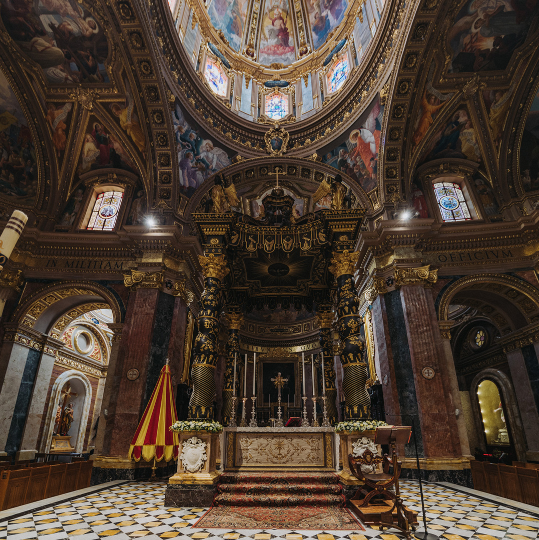
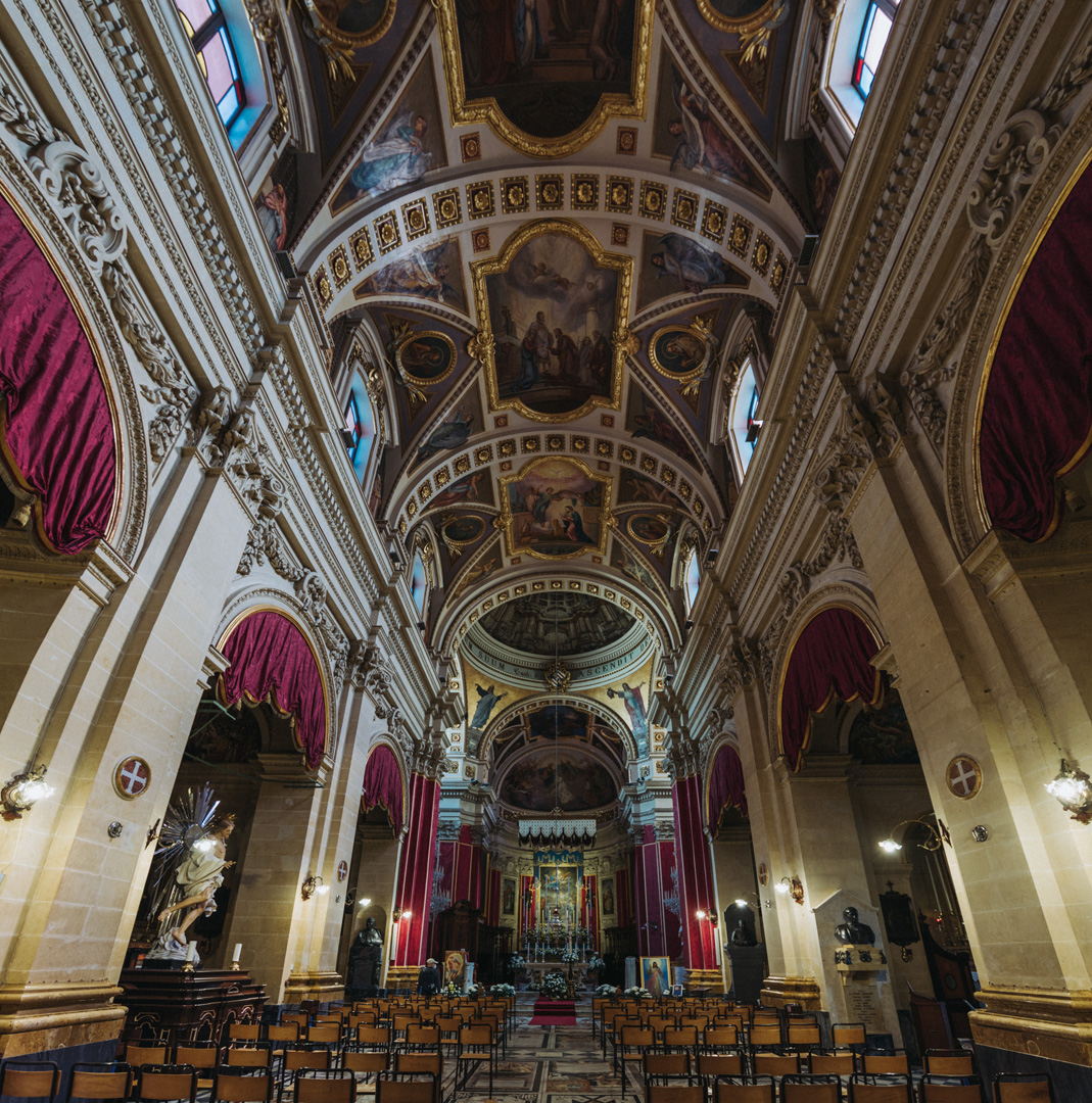
Basilica di San Giorgio (36°02’38″ N 14°14’21″E) in Victoria.
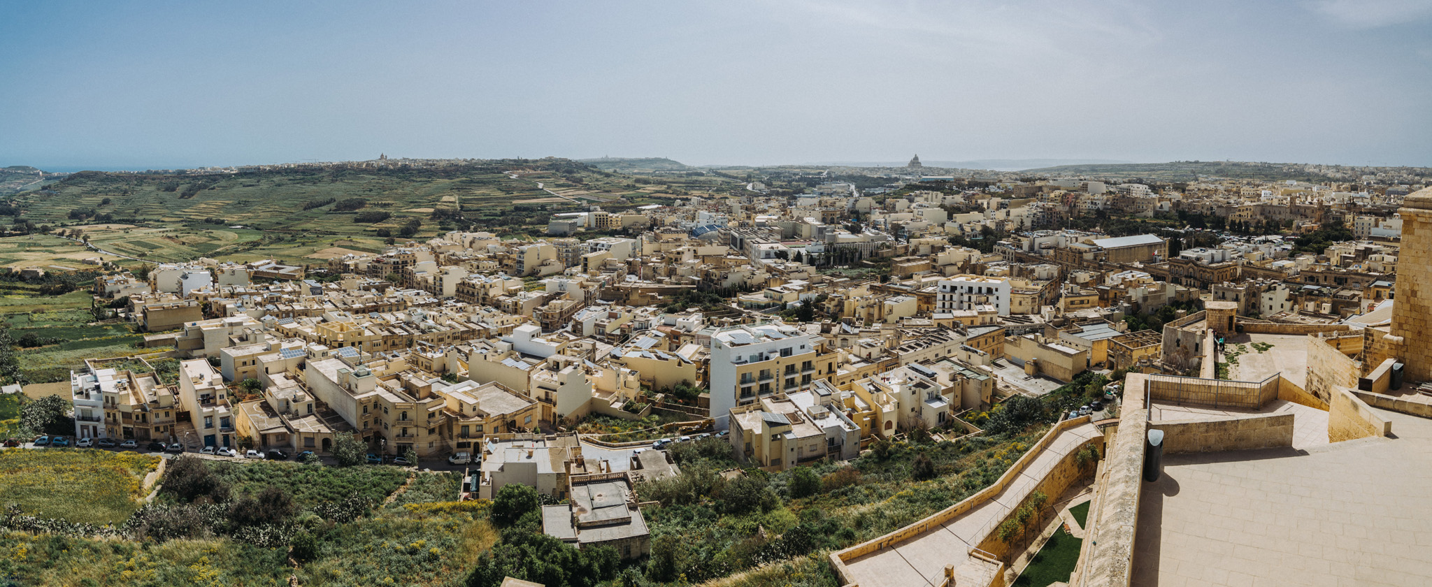
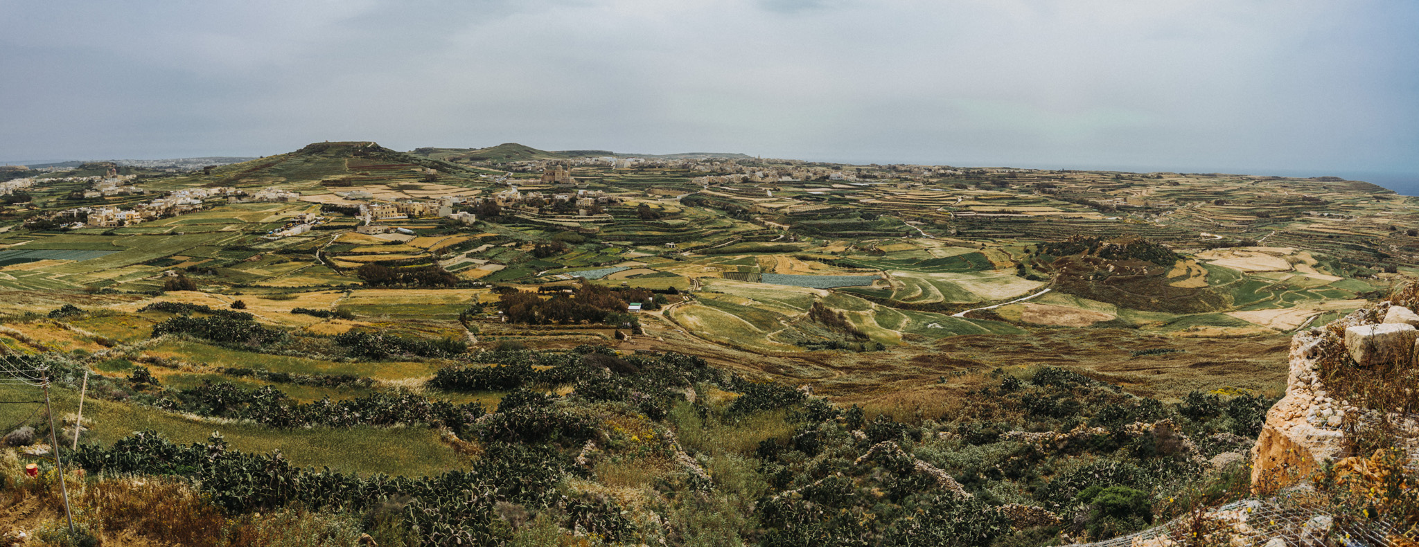
View from Citadella (36°02’47″ N 14°14’22″E) in Victoria.
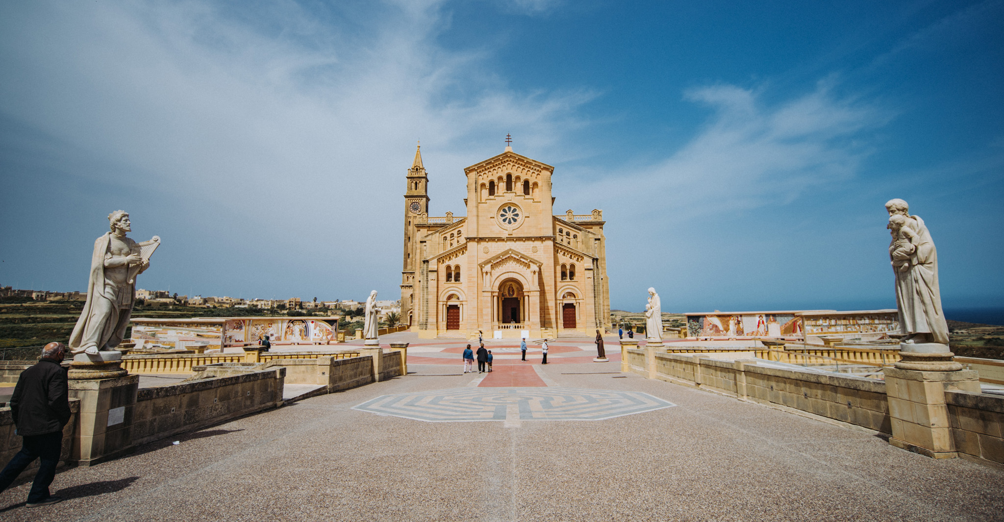
Ta’ Pinu Basilica (36°03’43″ N 14°12’54″E).
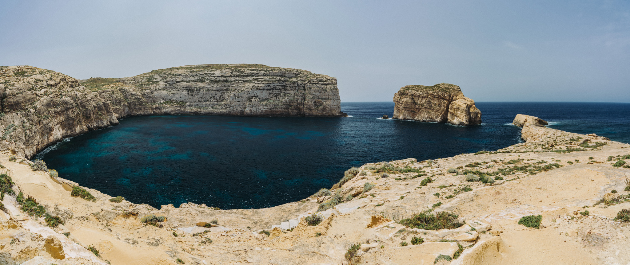
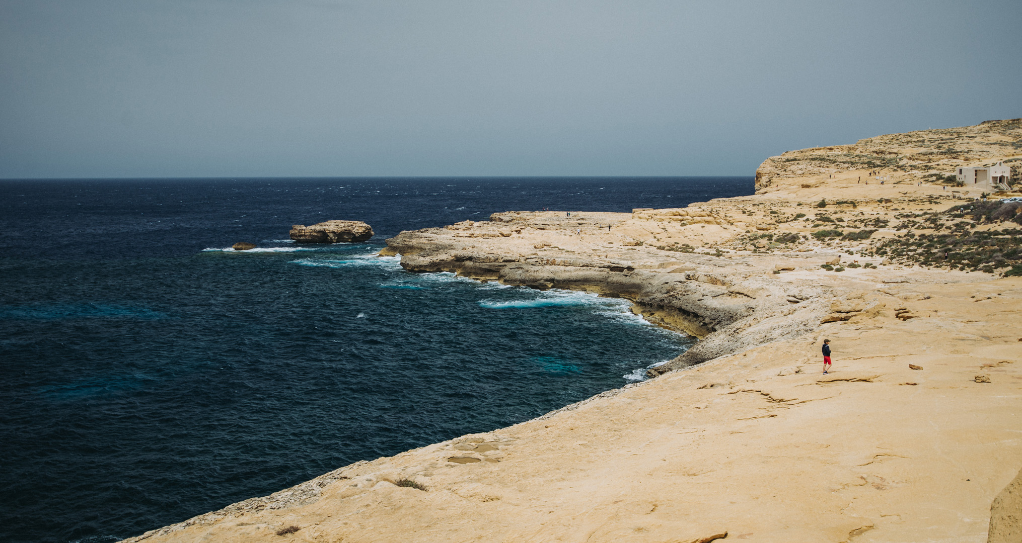
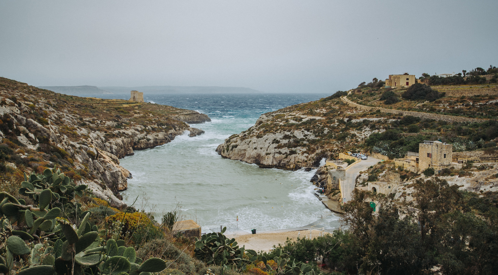
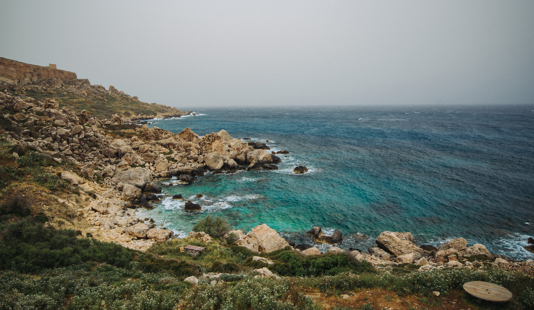
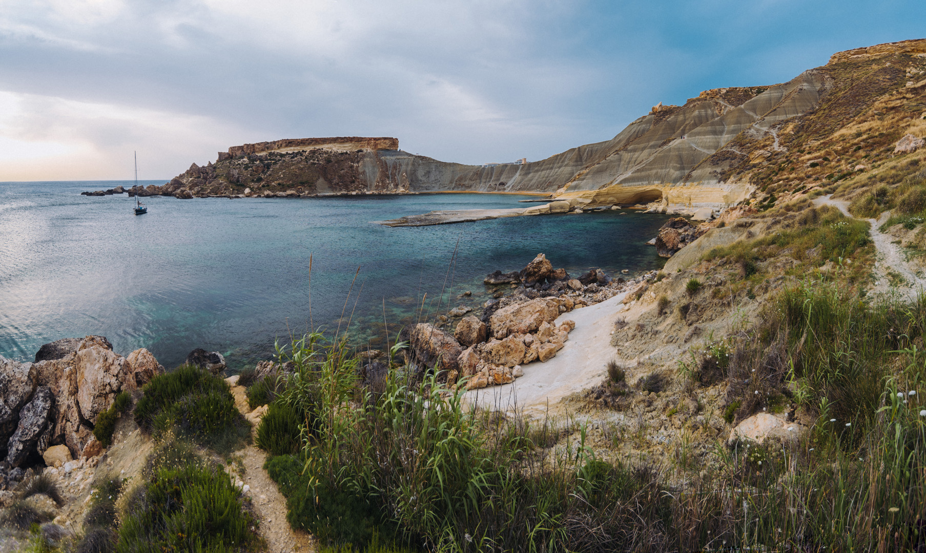
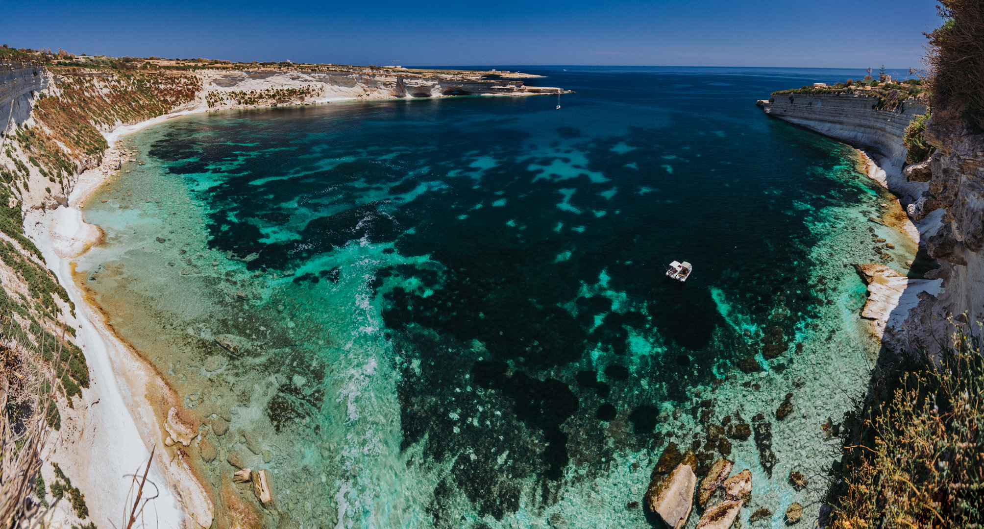
Dwejra Bay (36°02’49″ N 14°11’27″E) seen from around Dwejra tower (36°02’58″ N 14°11’31″E), the rock on the right side is called Fungus Rock (36°02’48″ N 14°11’20″E).
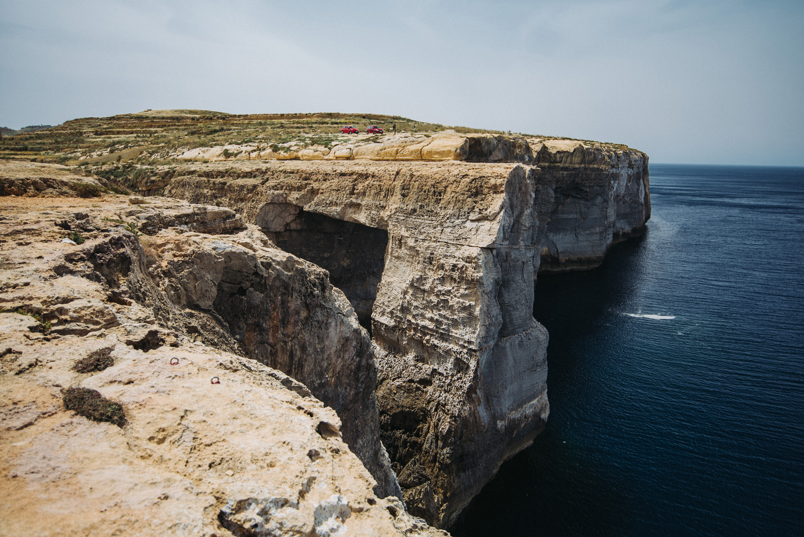
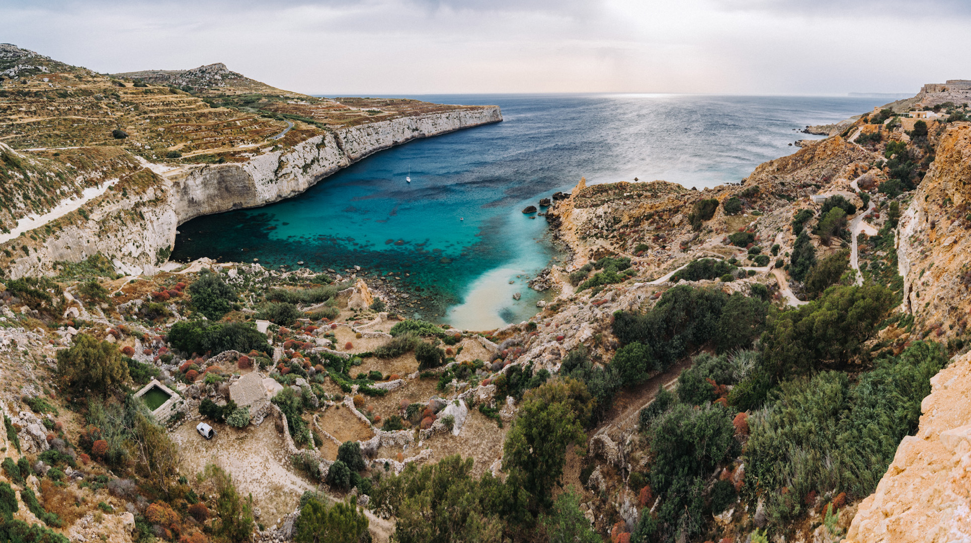
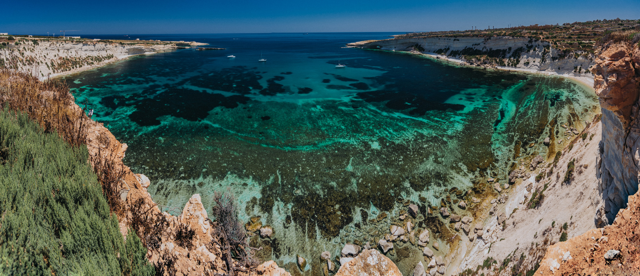
View from around Dwejra tower onto what was once Blue Hole.
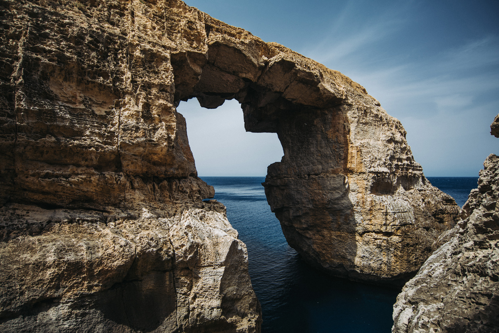
Wied il-Mielaħ (36°04’46″ N 14°12’46″E).
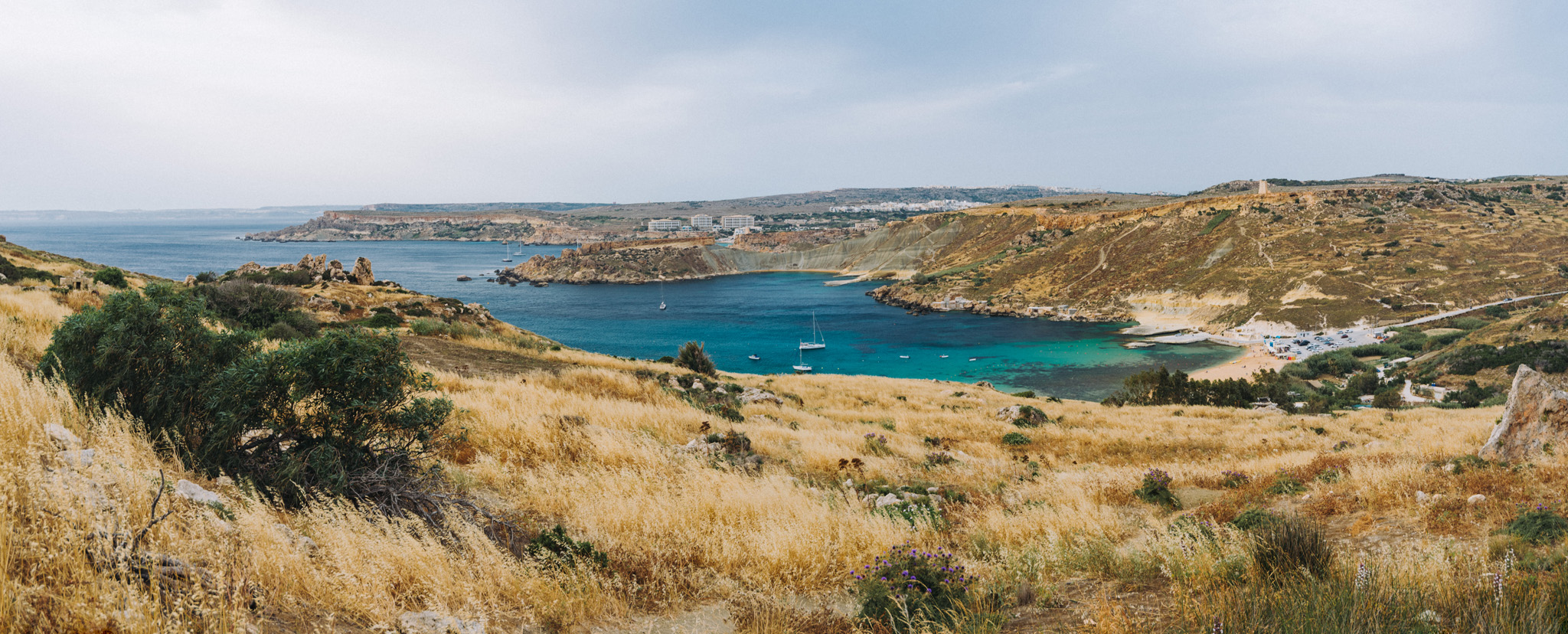
View from Giordan Lighthouse (36°04’20″ N 14°13’06″E) to the south. The highest hill on the picture (on the left side) is the Ta’ Għammar Hill (36°03’33″ N 14°13’12″E) and just on its right side there is visible Ta’ Pinu Basilica.
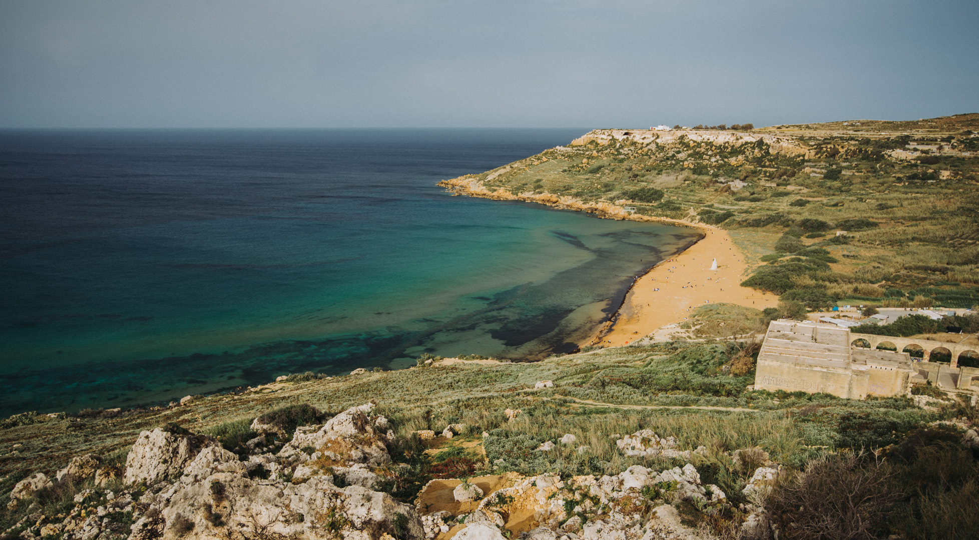
View onto Ramla Bay (36°03’41″ N 14°17’03″E) from viewpoint near Calypso Cave (36°03’38″ N 14°16’46″E).
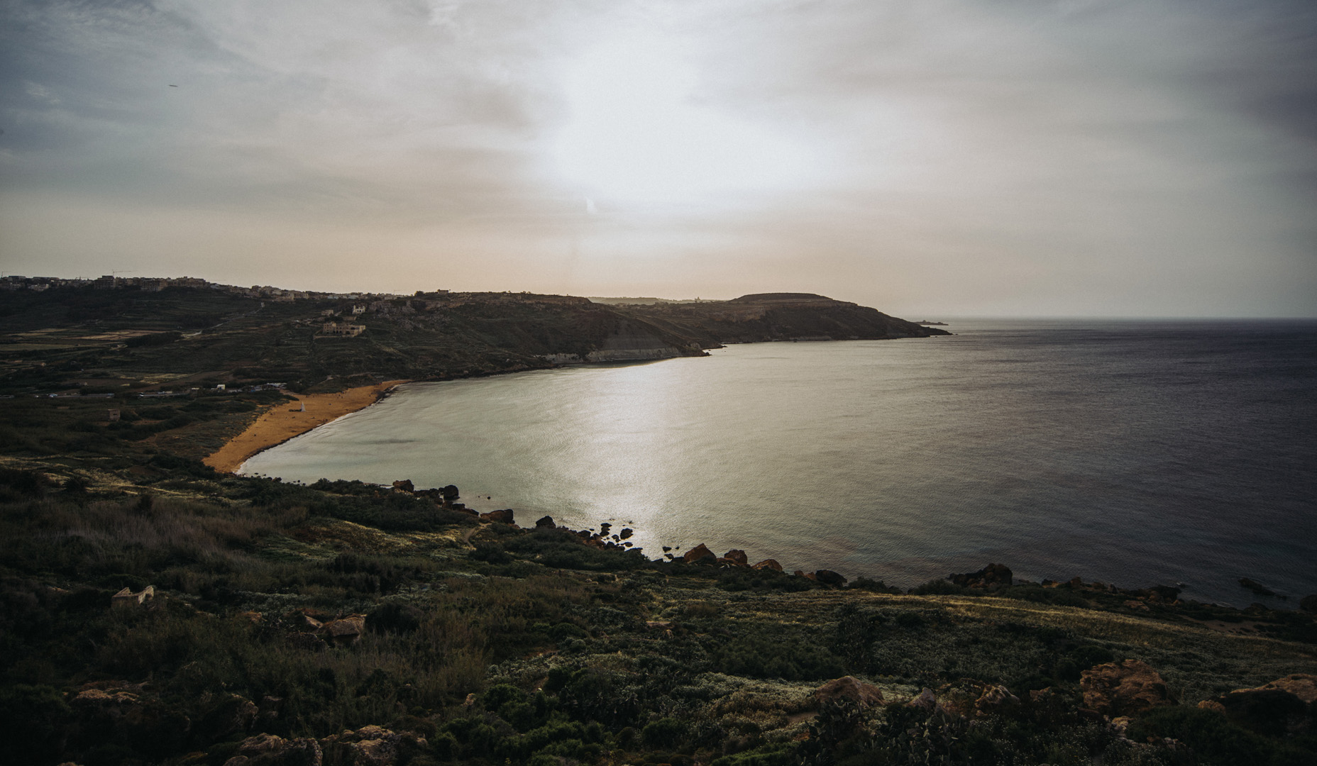
View onto Ramla Bay from Tal-Mixta Cave (36°03’48″ N 14°17’22″E).
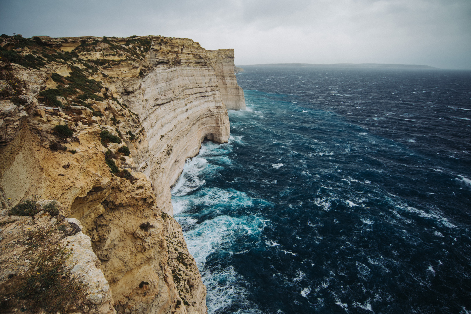
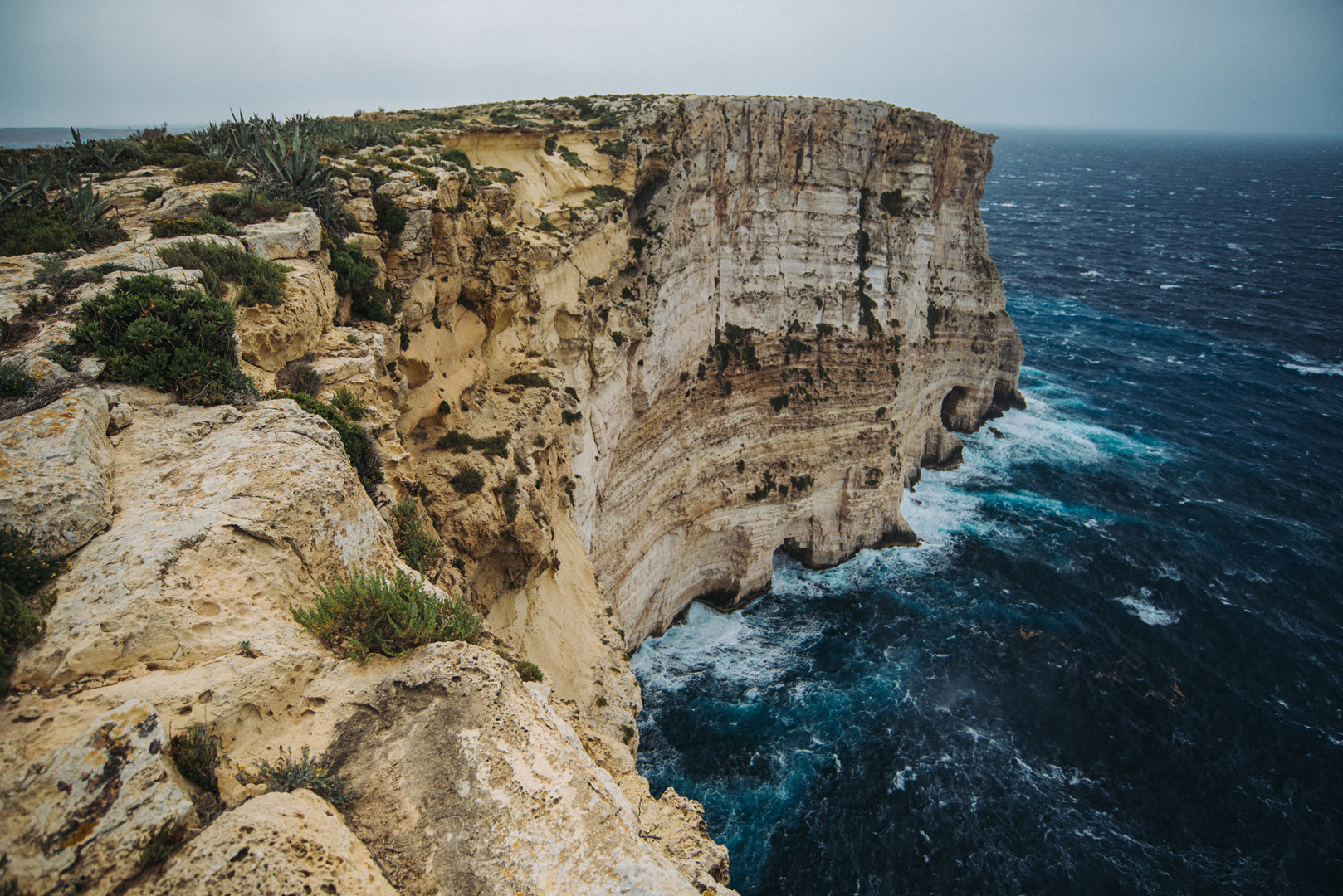
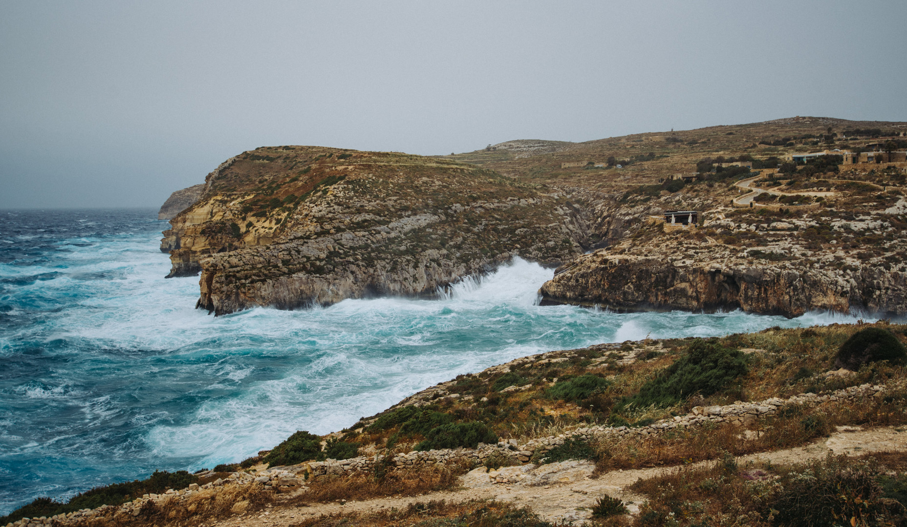
Sanap Cliffs Sunset (36°01’15″ N 14°13’21″E).
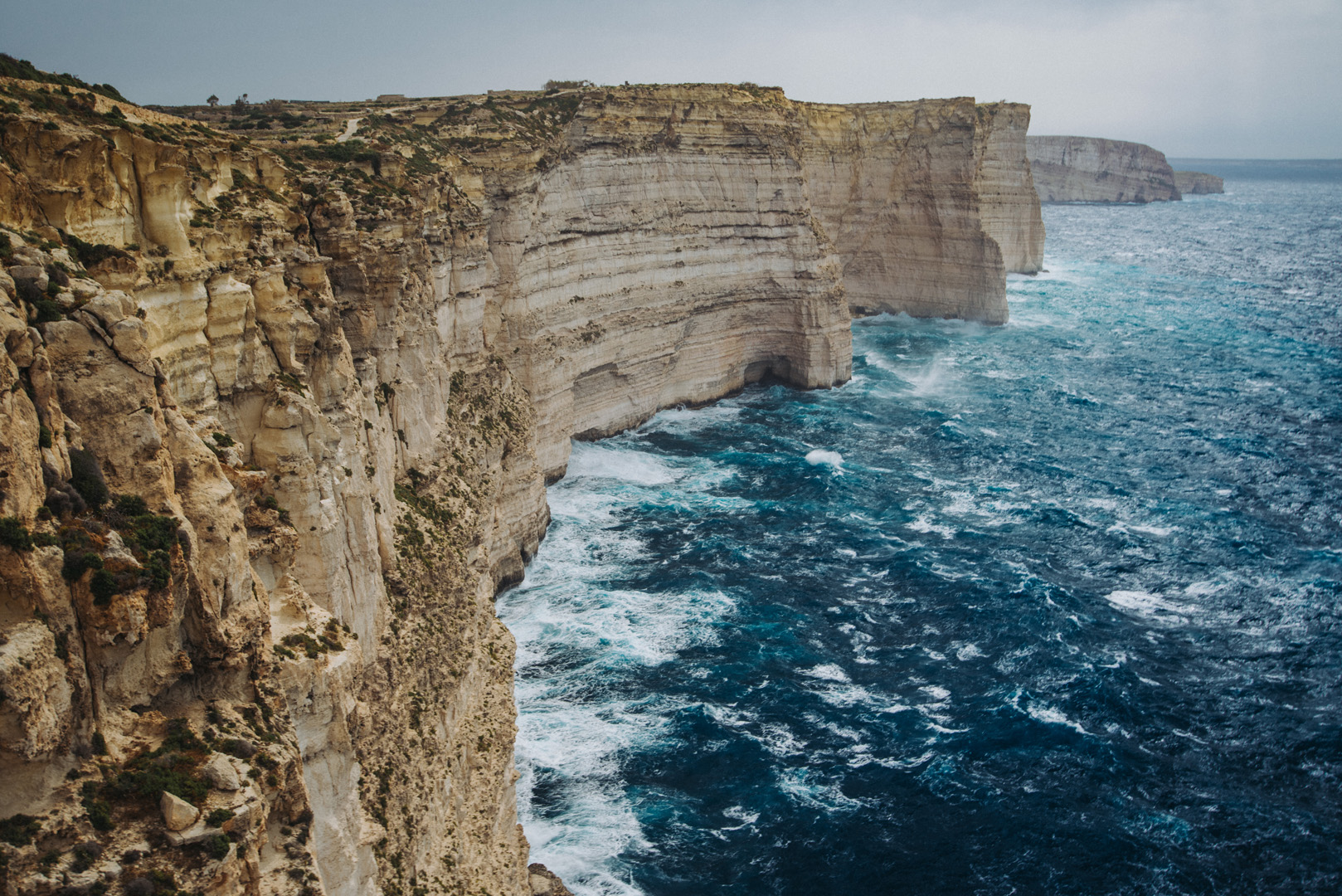
Ta’ Ċenċ cliffs (36°01’05″ N 14°15’09″E).
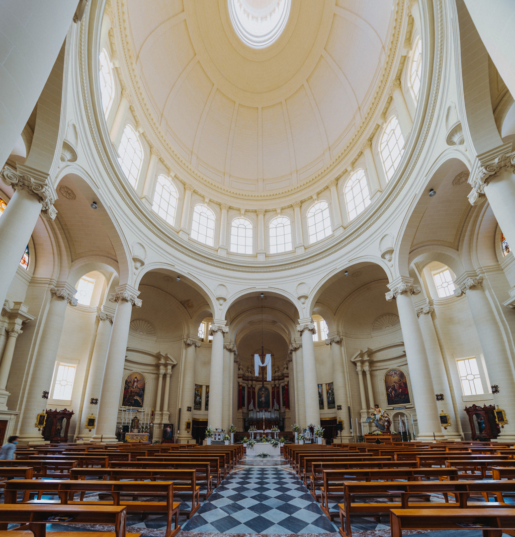
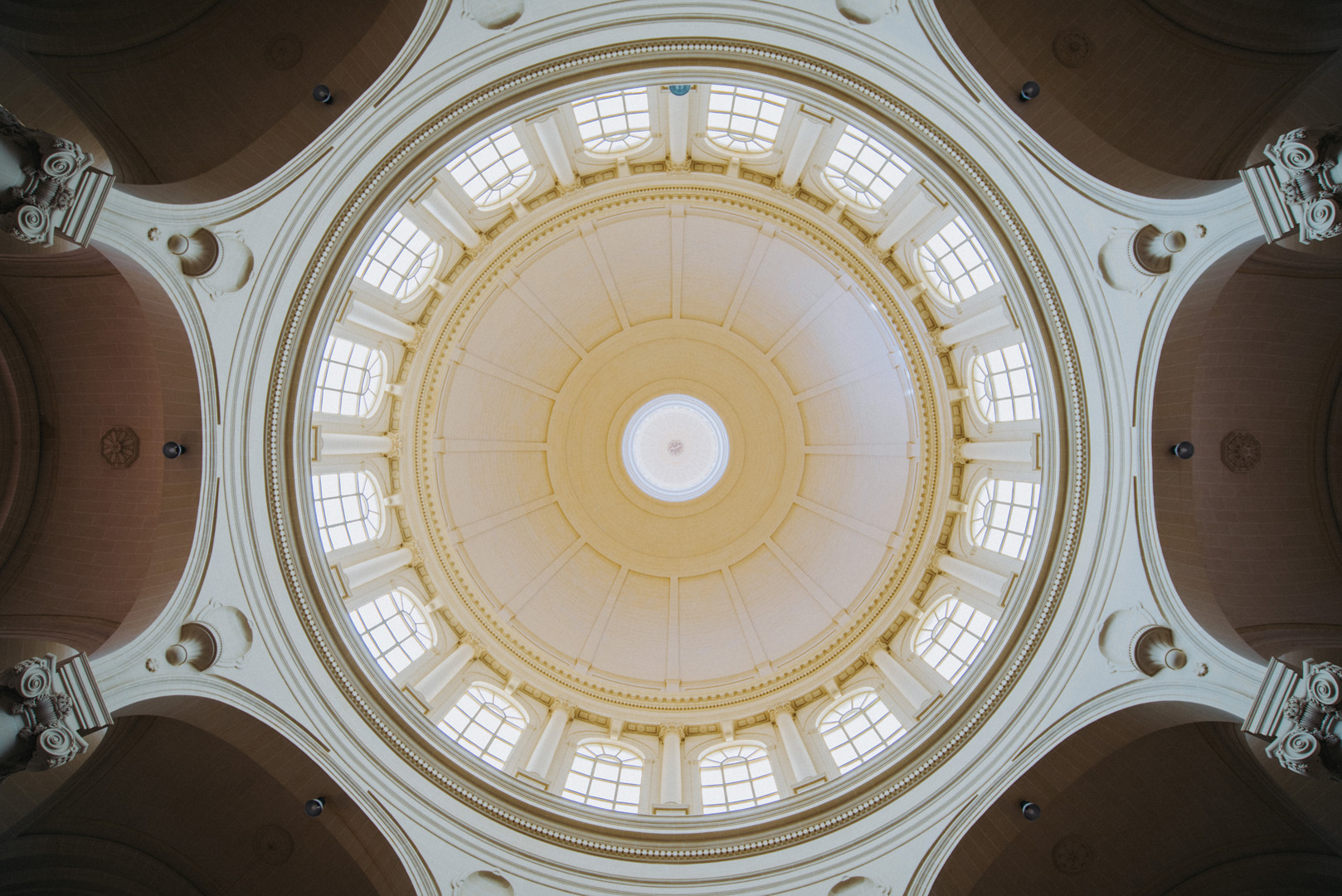
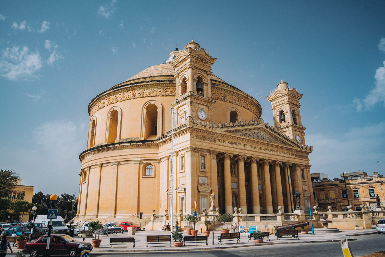
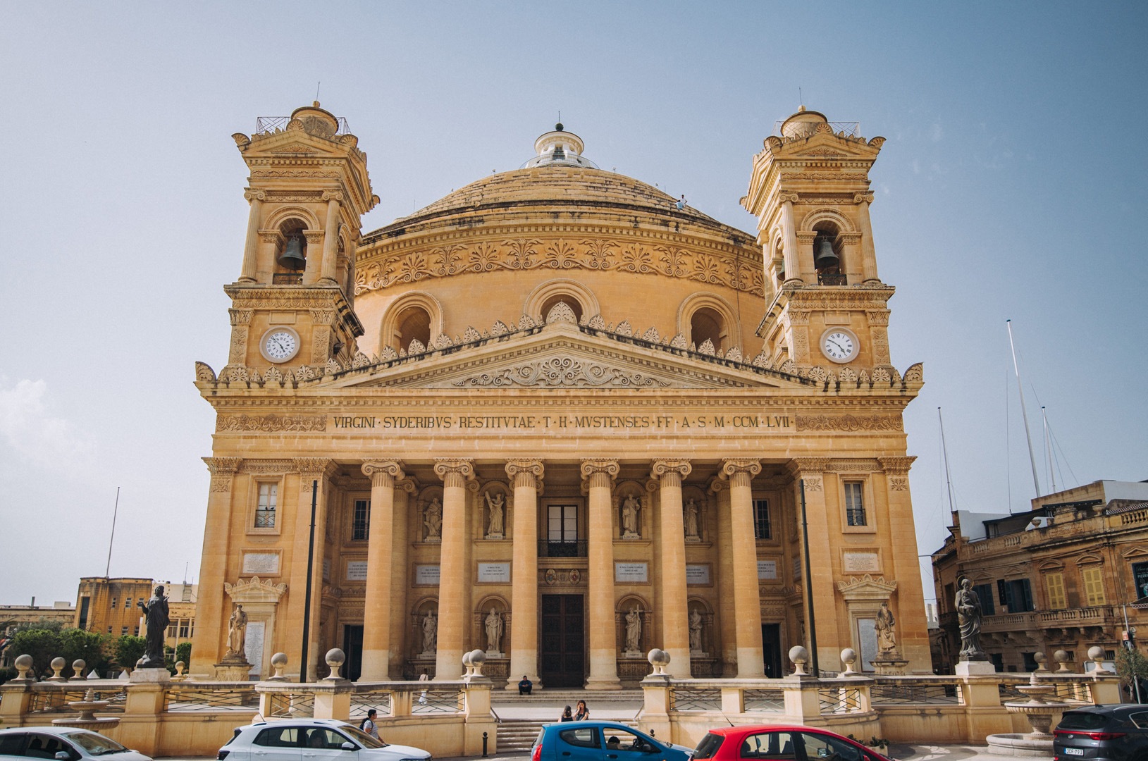
Rotunda of Xewkija (36°01’54″ N 14°15’40″E).
Mġarr ix-Xini beach and bay (36°01’13″ N 14°16’16″E).
View on Mġarr ix-Xini bay from Mġarr ix-Xini Tower (36°01’02″ N 14°16’28″E).
Malta is a small island (just 27 x 14 km) that together with smaller Gozo (14 x 7 km) is inhabited by just half million people. Even though it’s small Malta has surprisingly high number of monuments and cultural properties.
Valetta
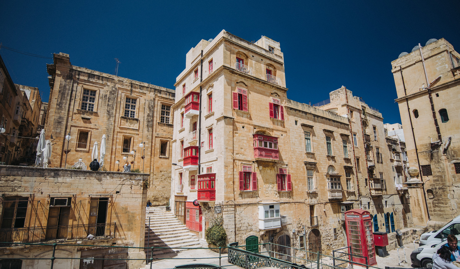
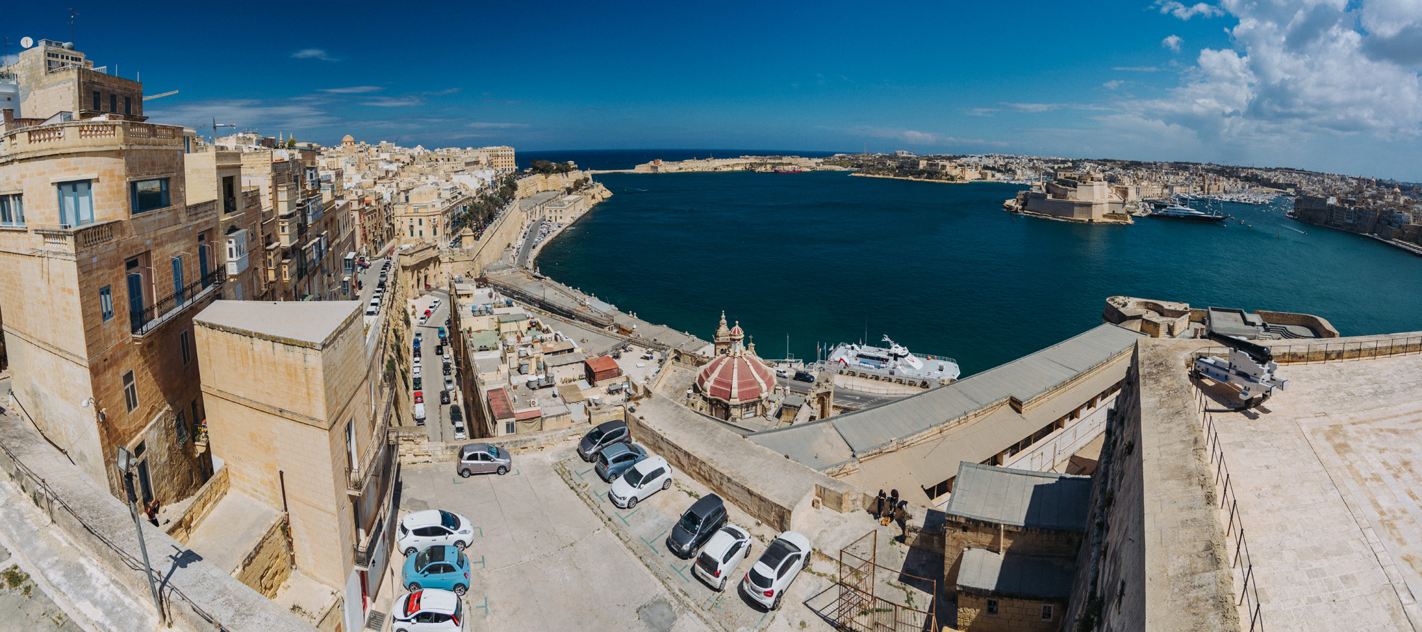
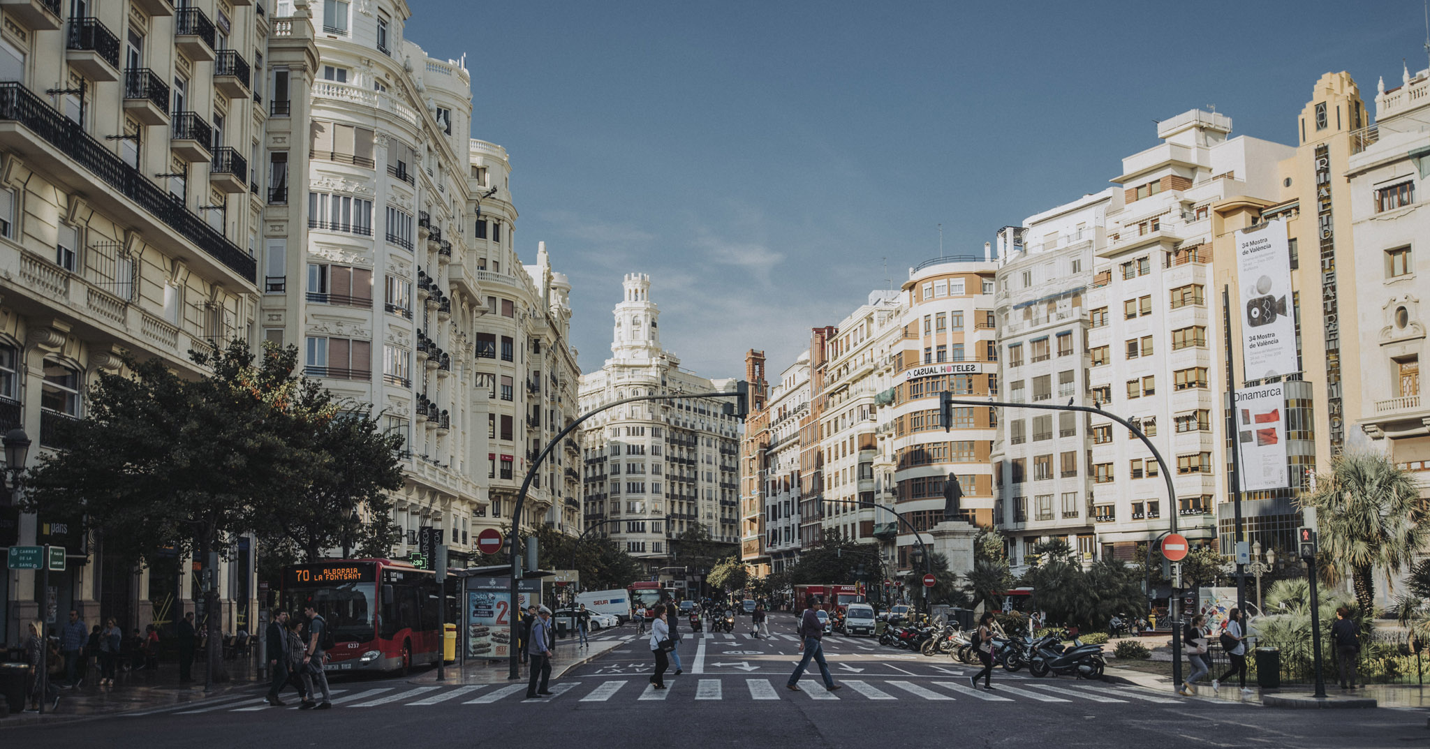
Valetta is a Malta’s capital, is inhabited by just under 6000 people and has cultural properties literally on every corner.
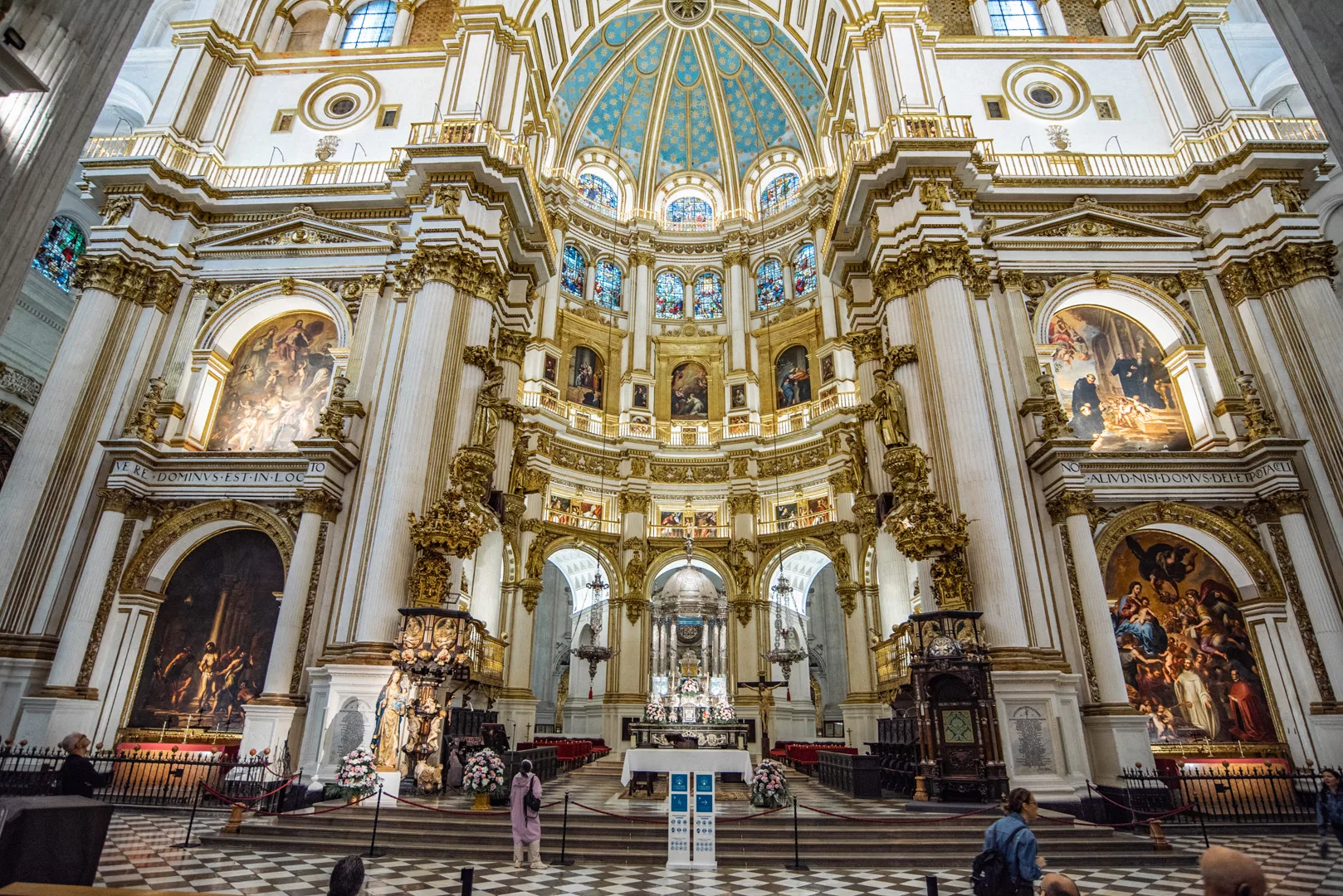
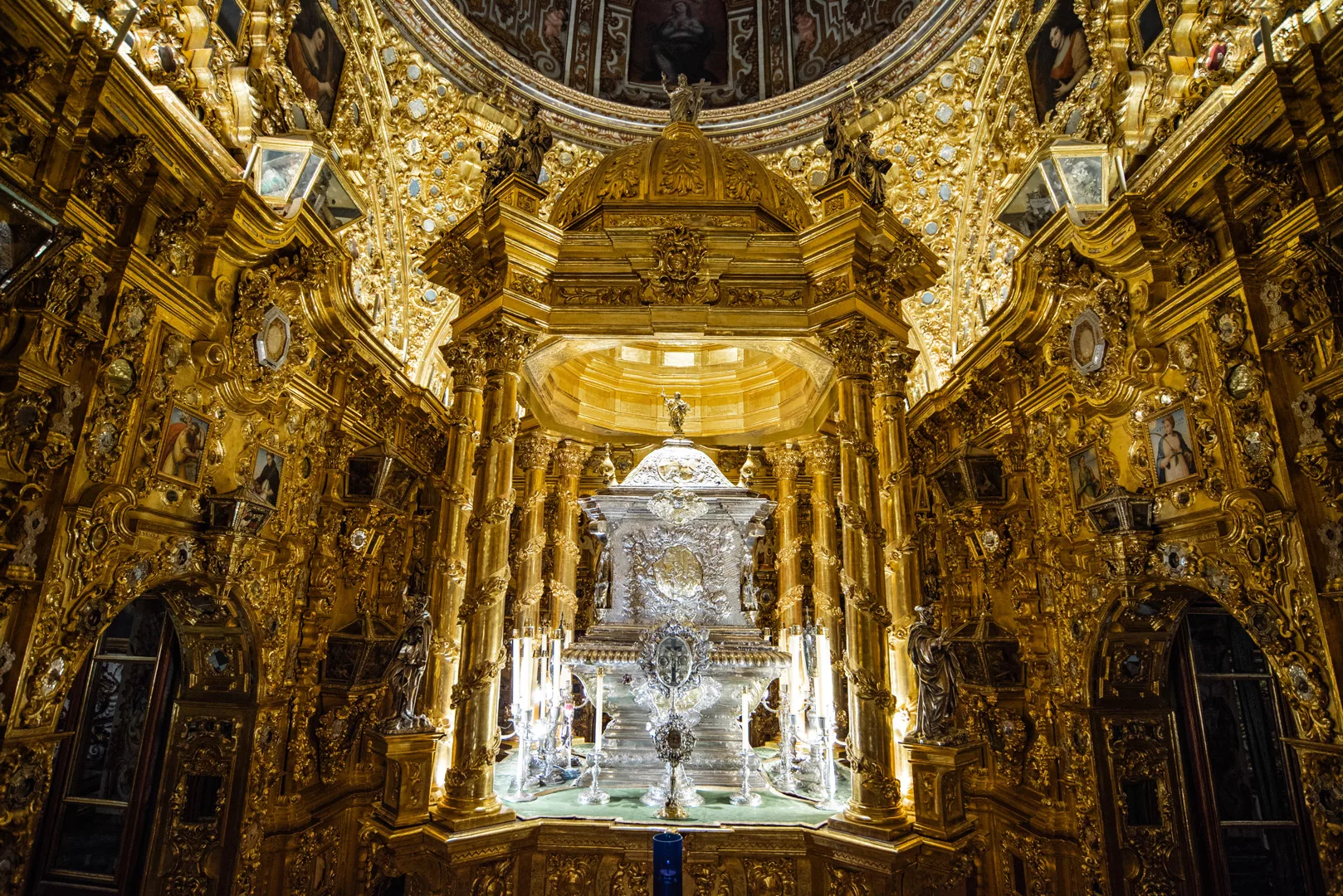
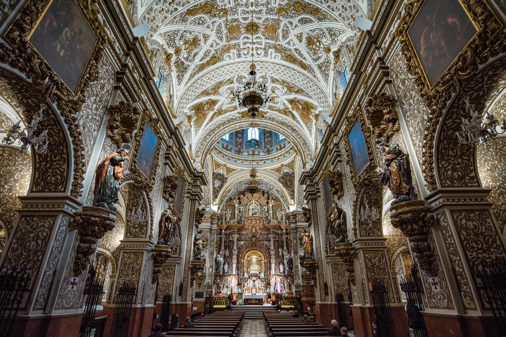
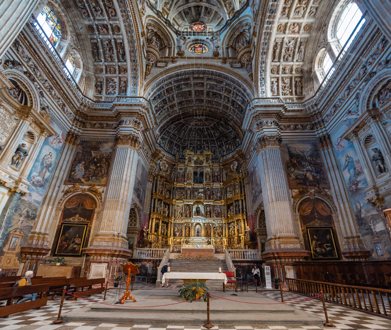
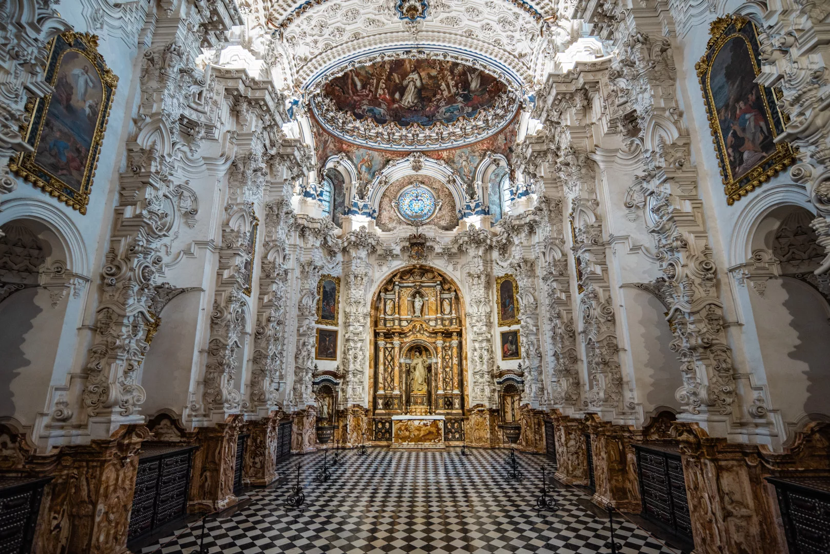
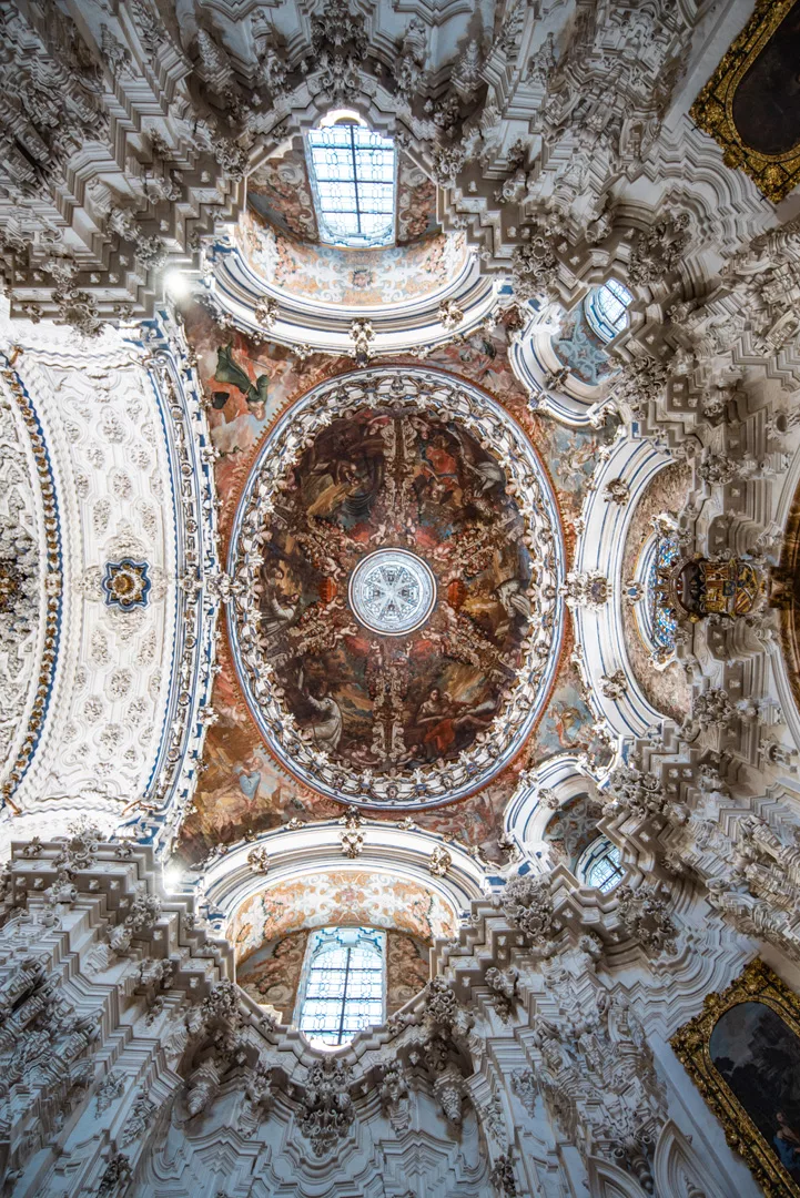
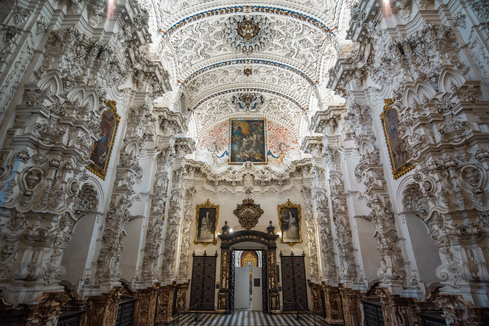
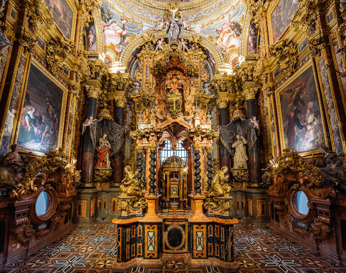
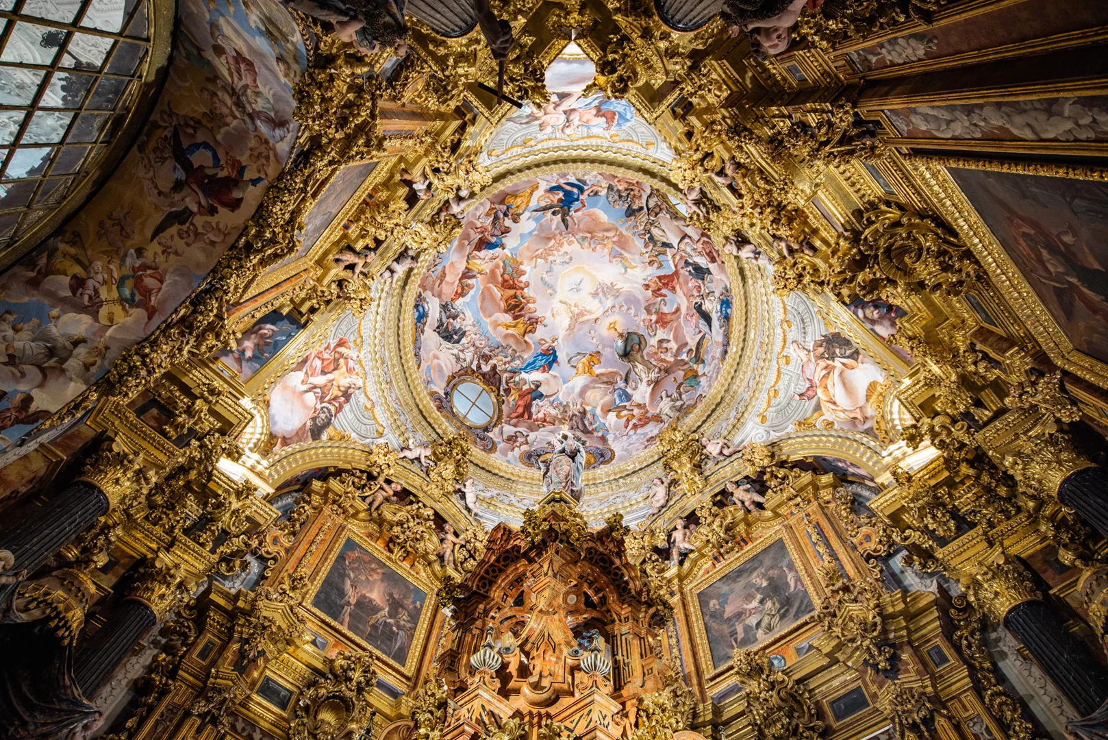
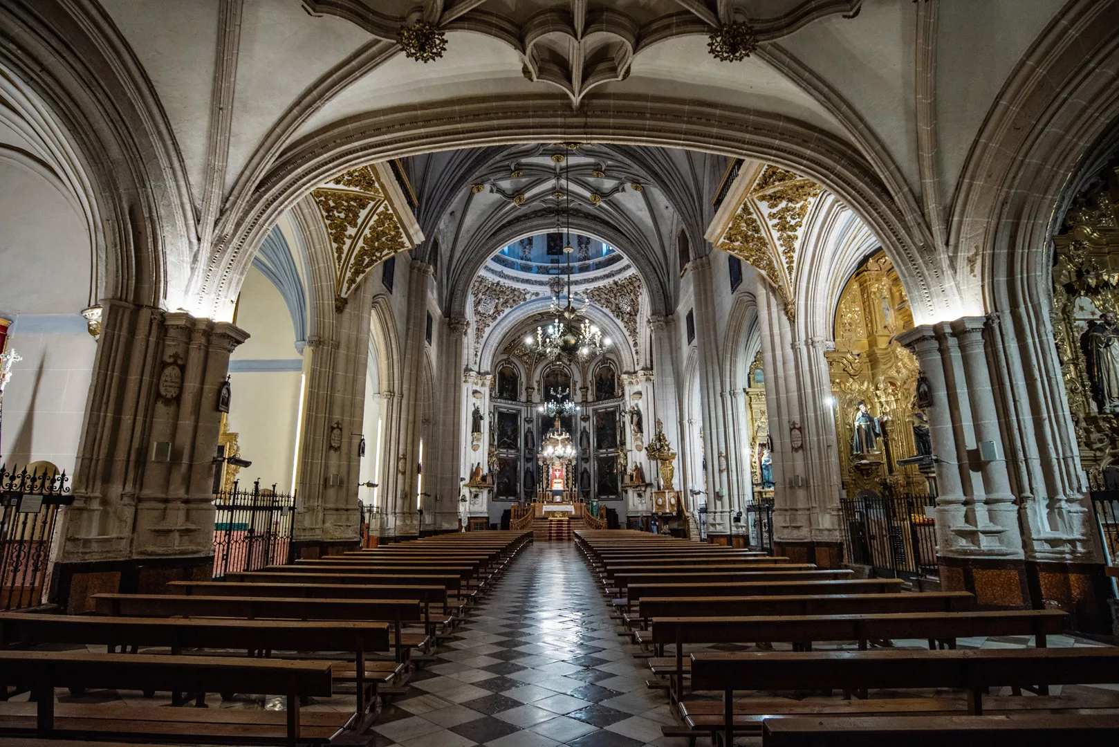
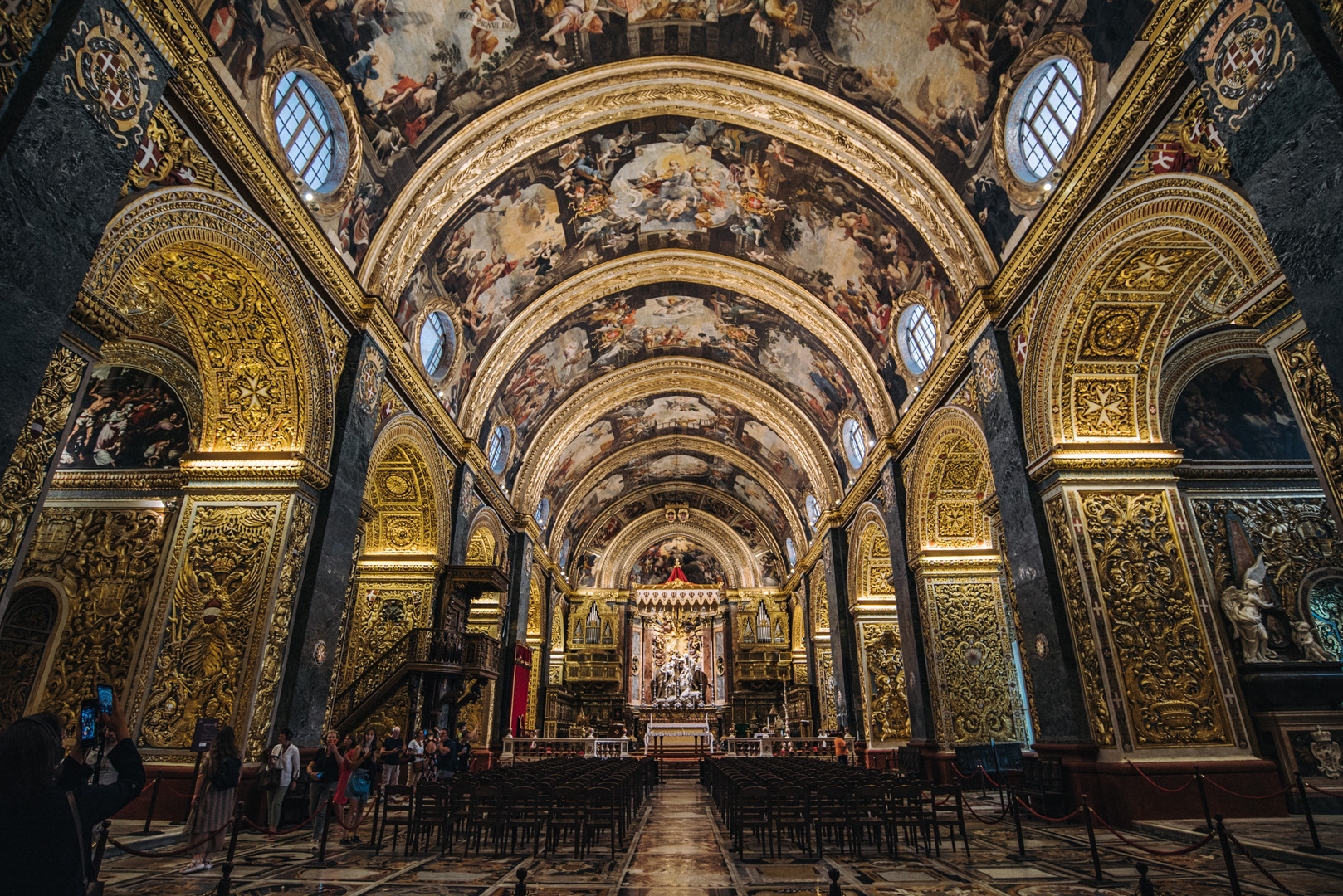
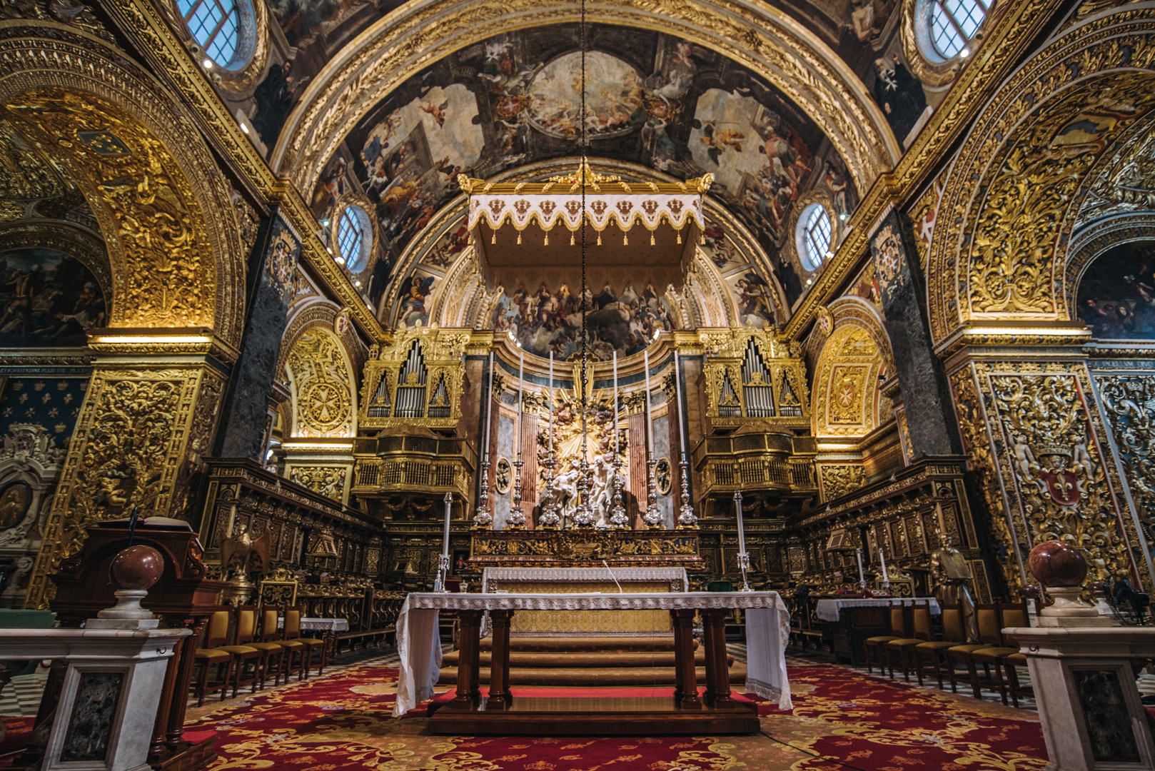
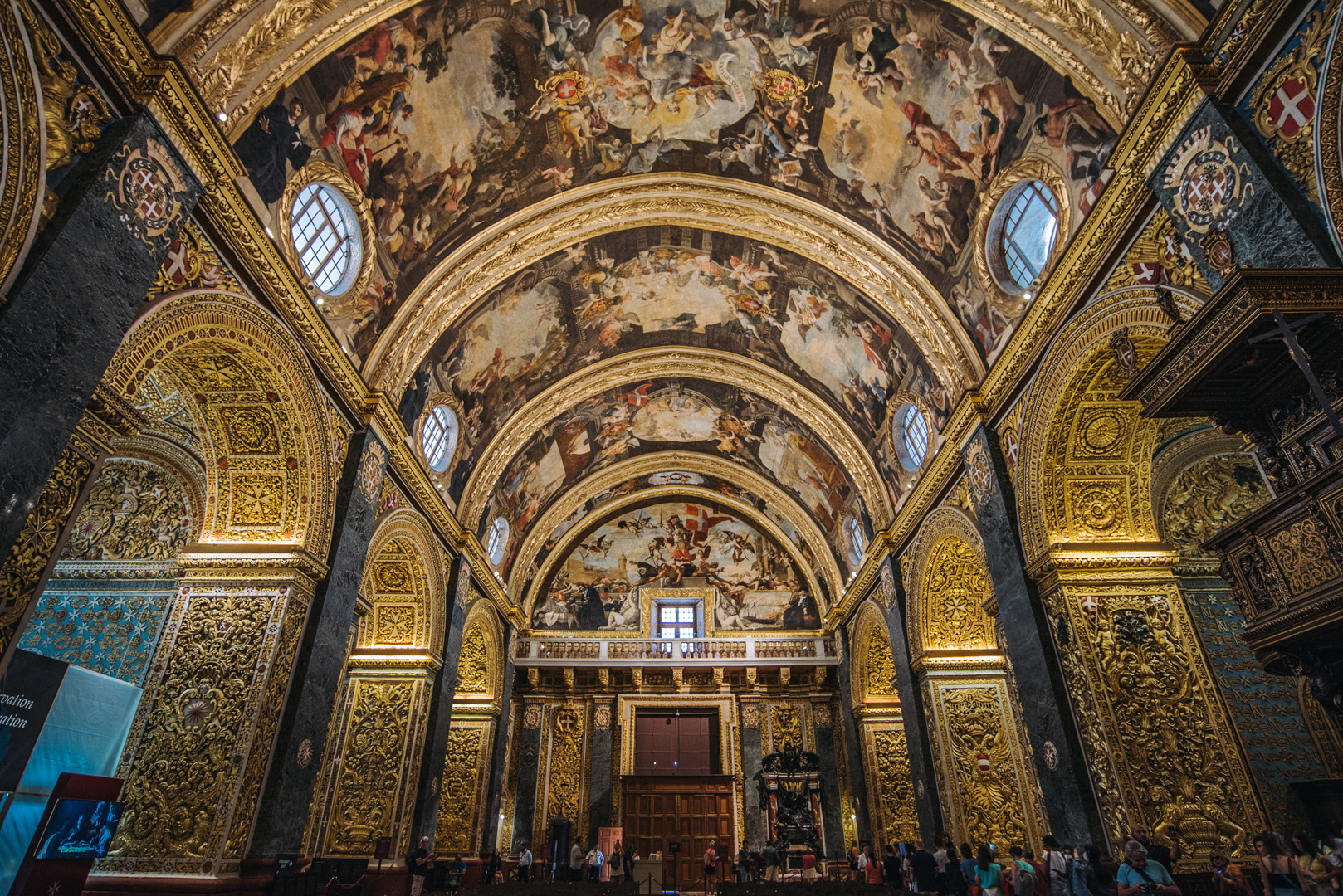
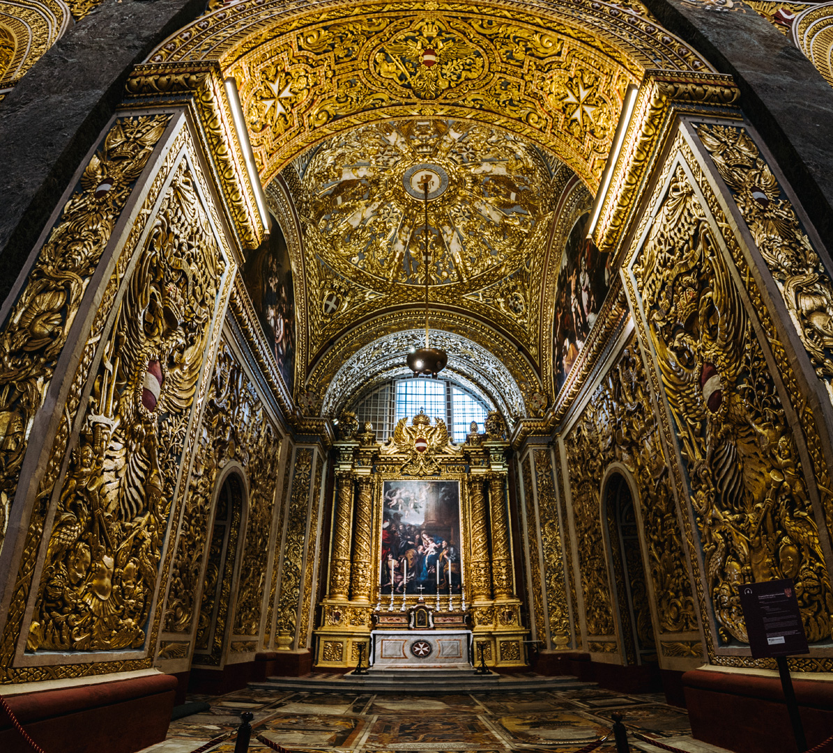
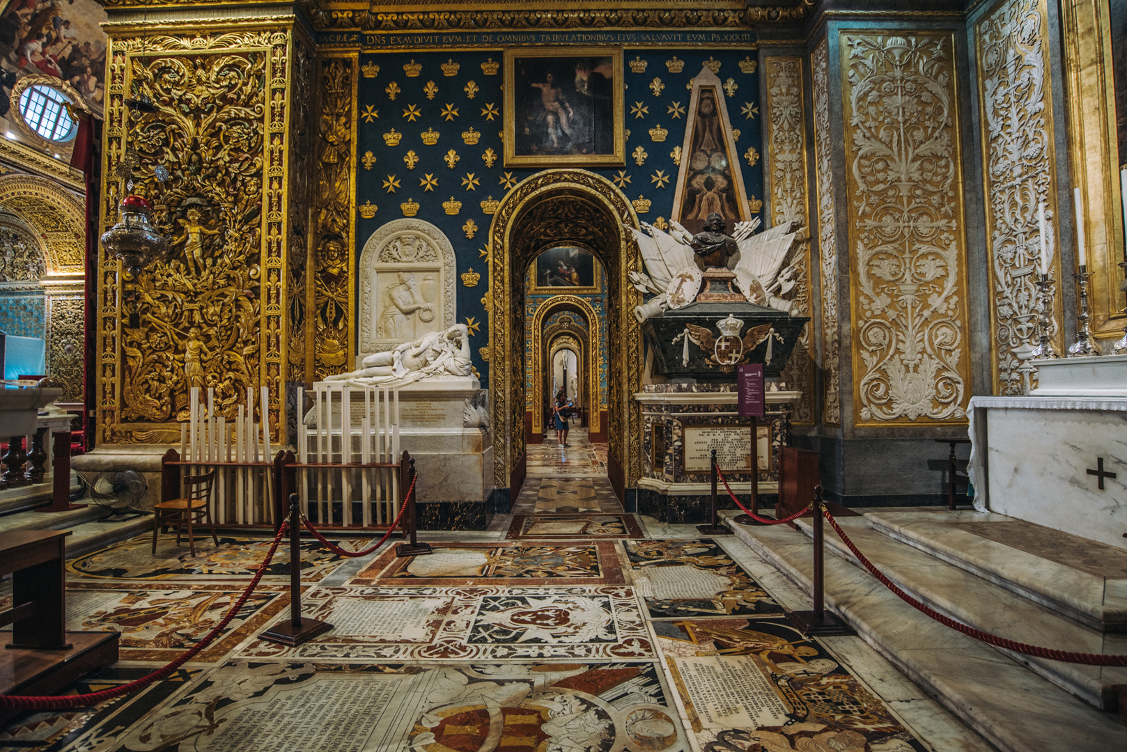
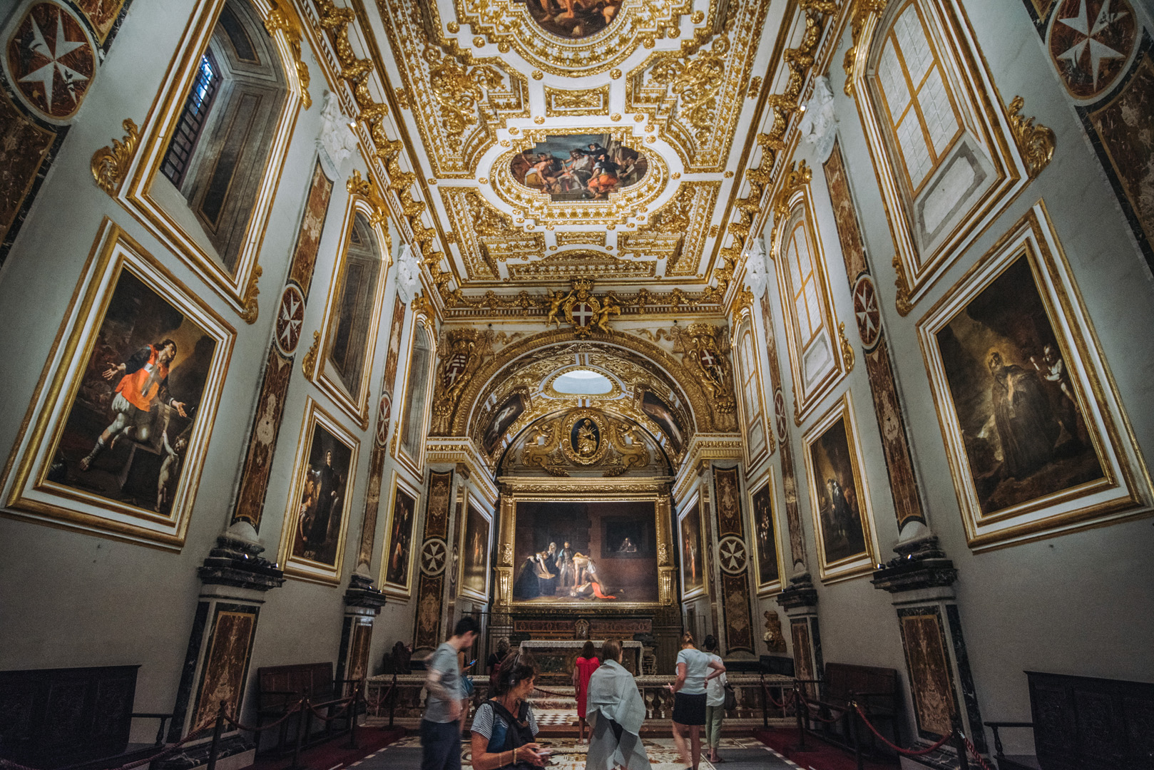
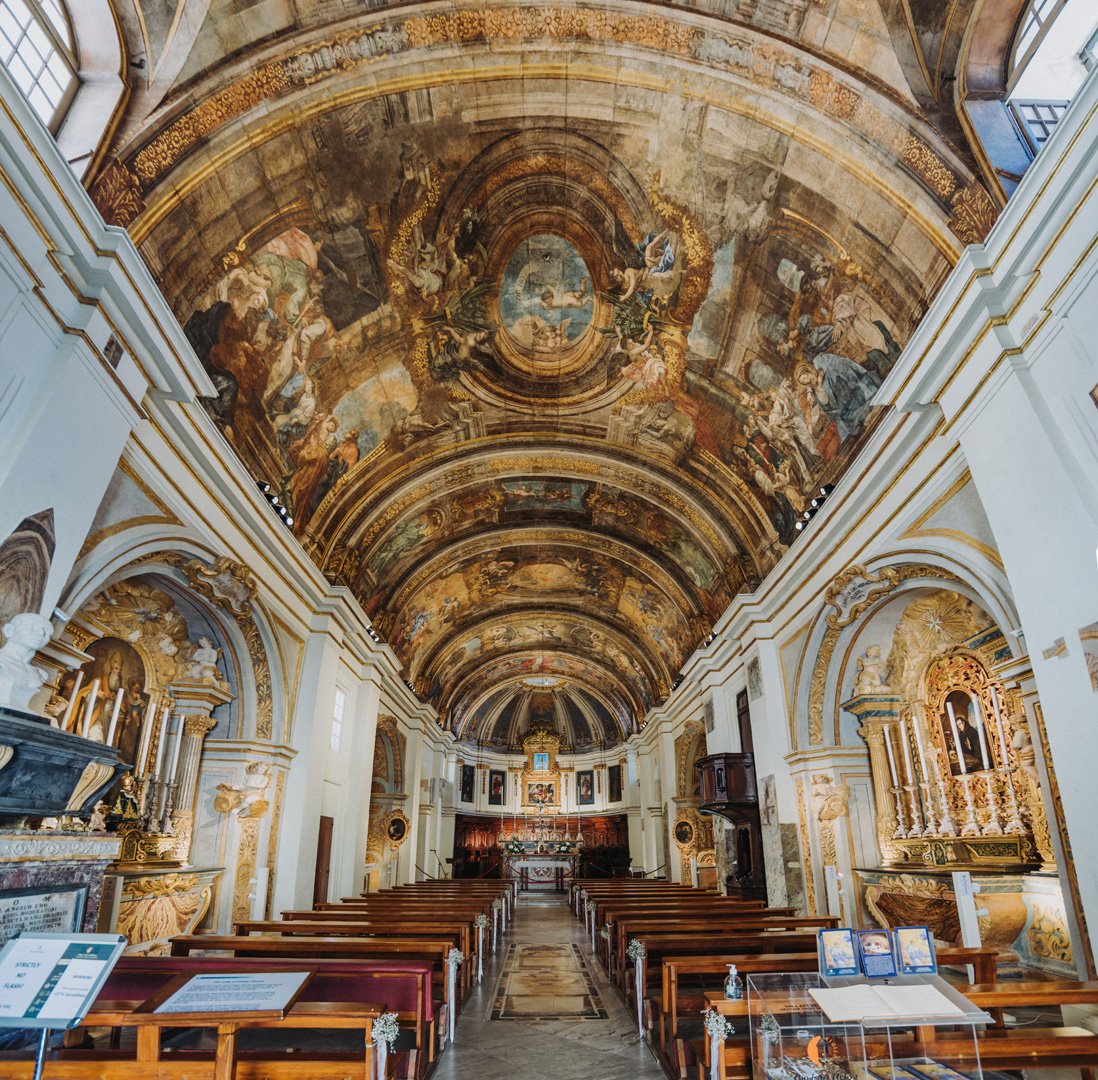
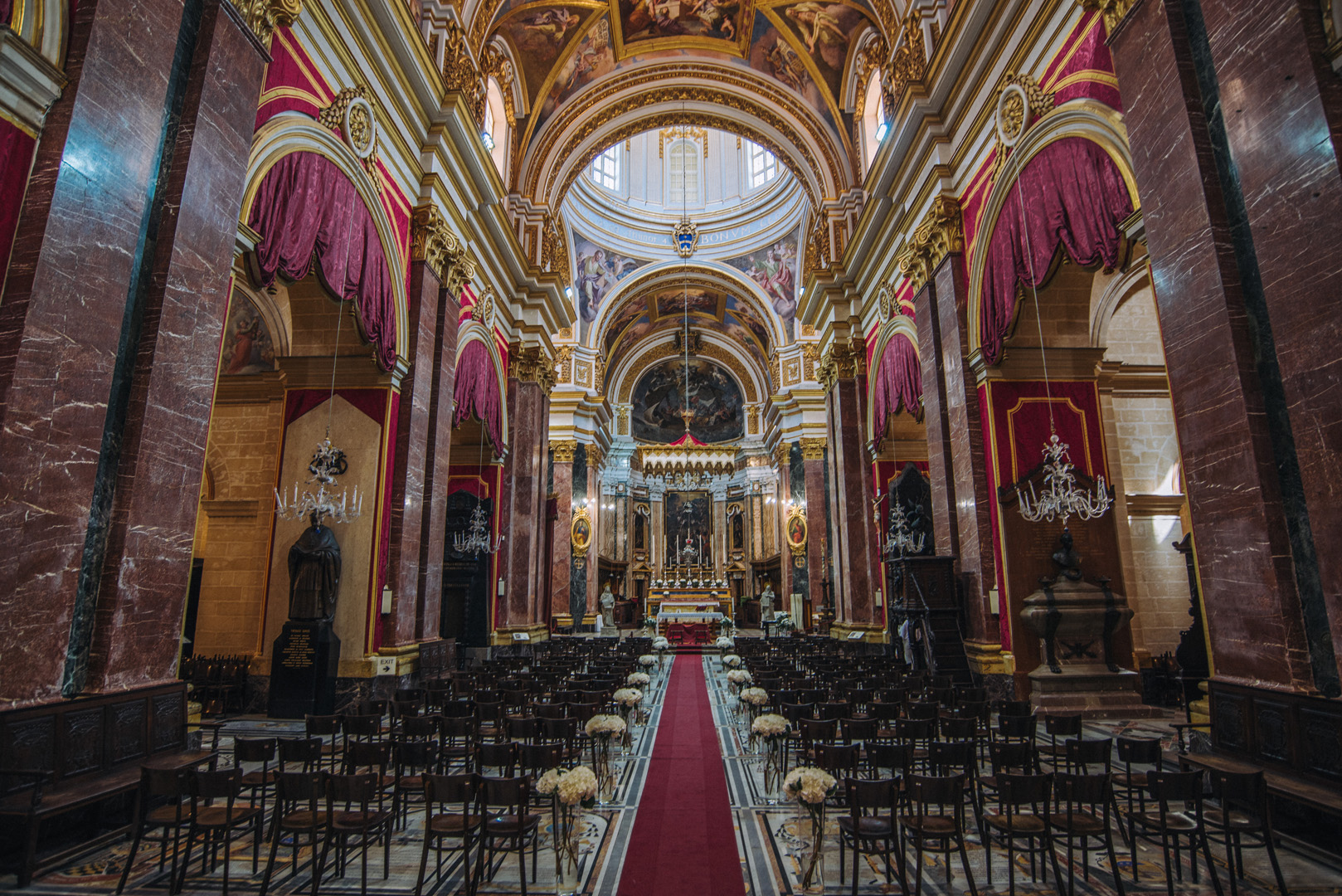
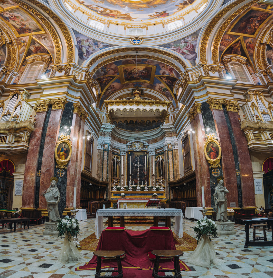
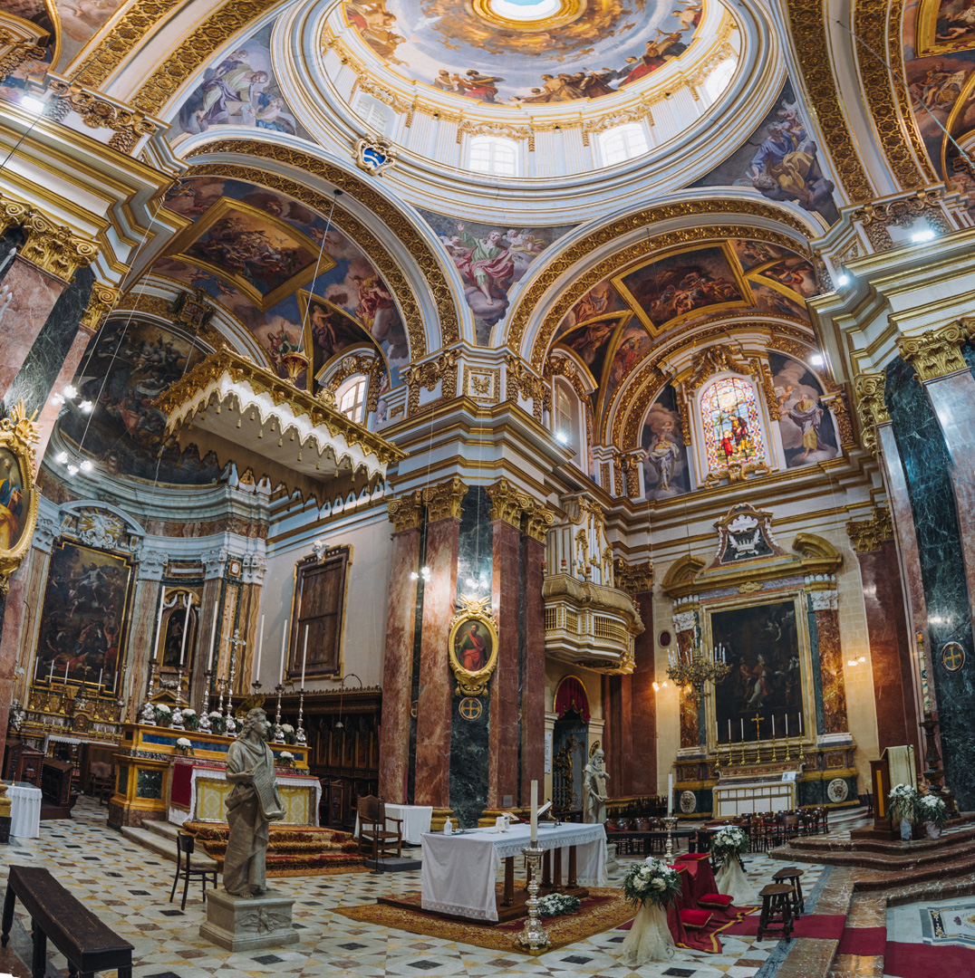
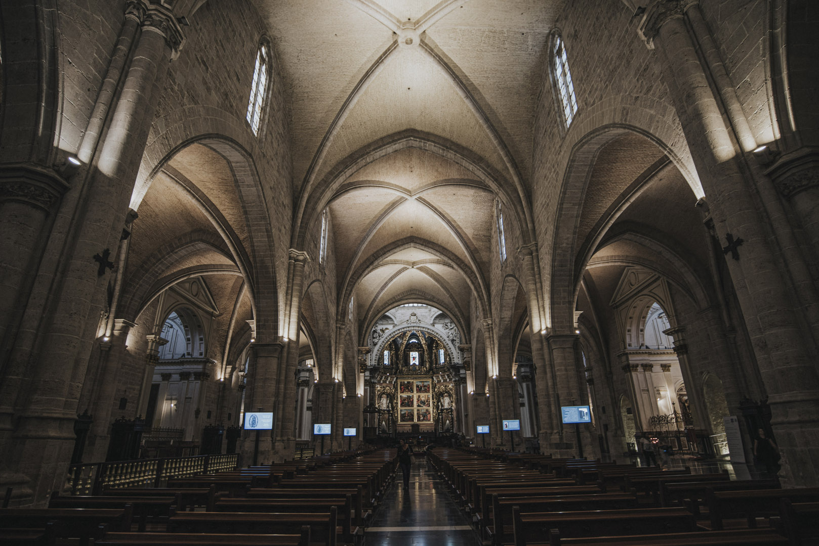
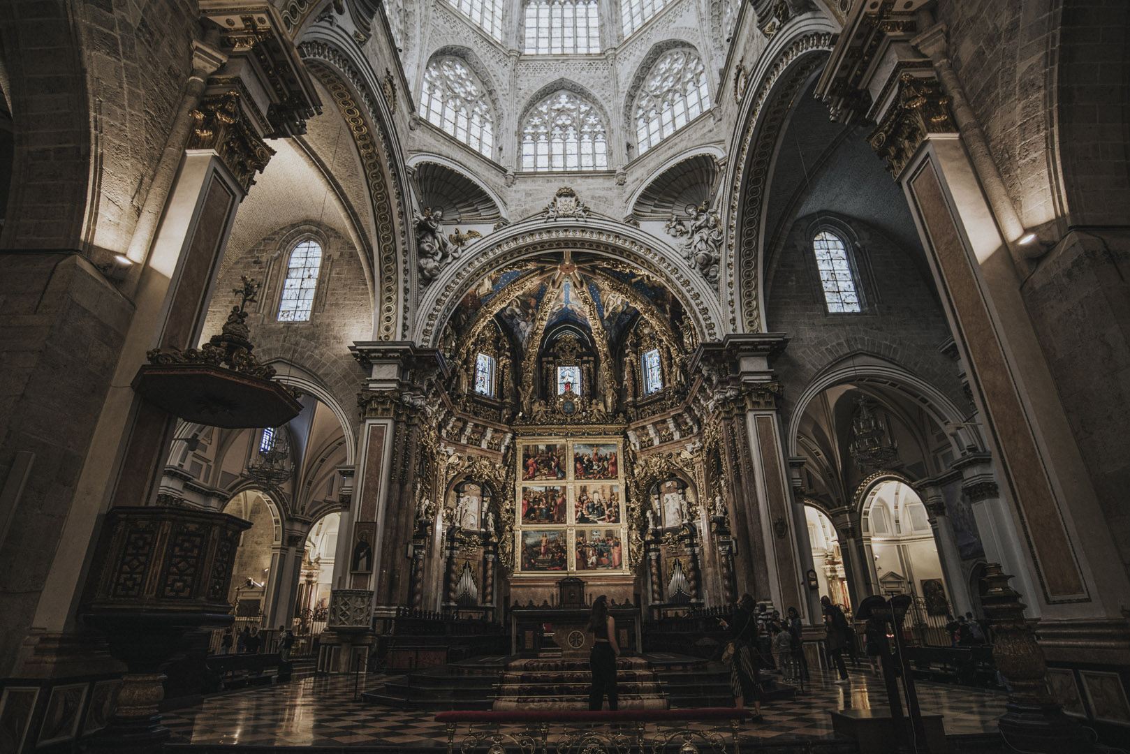
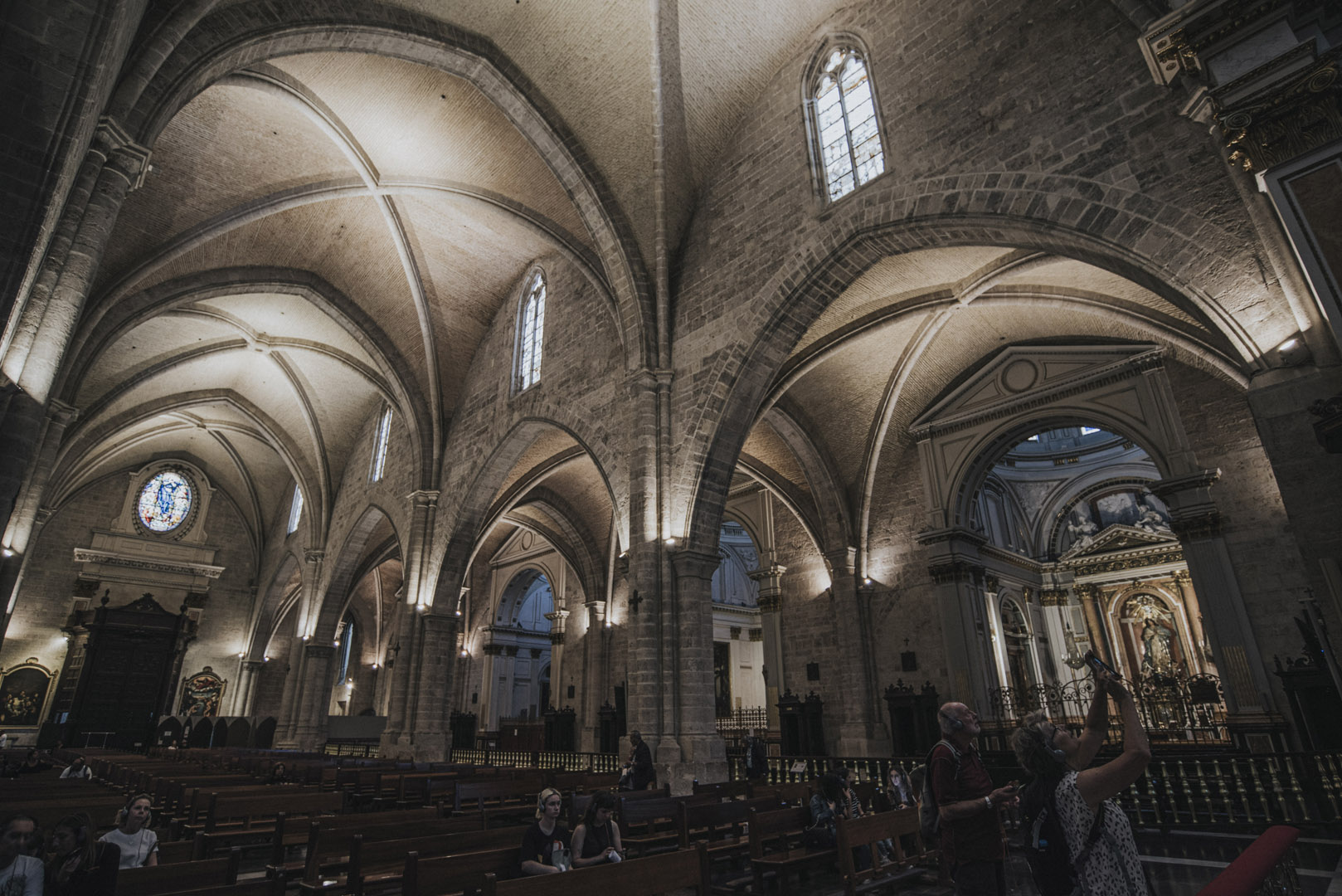
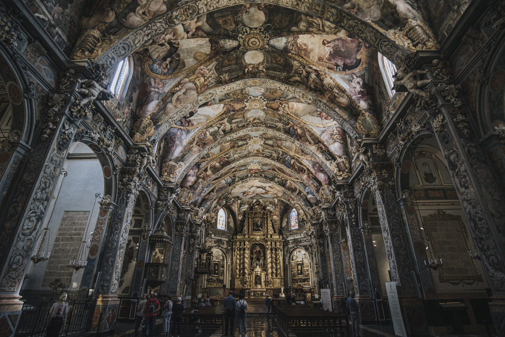
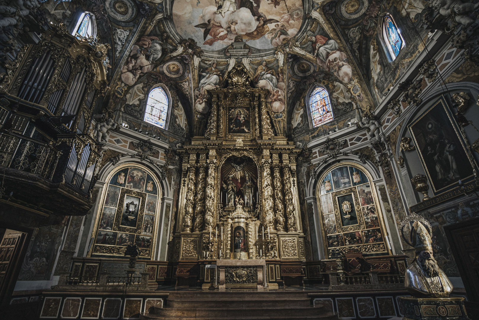
St. John’s Co Cathedral (35°53’51″N 14°30’45″E).
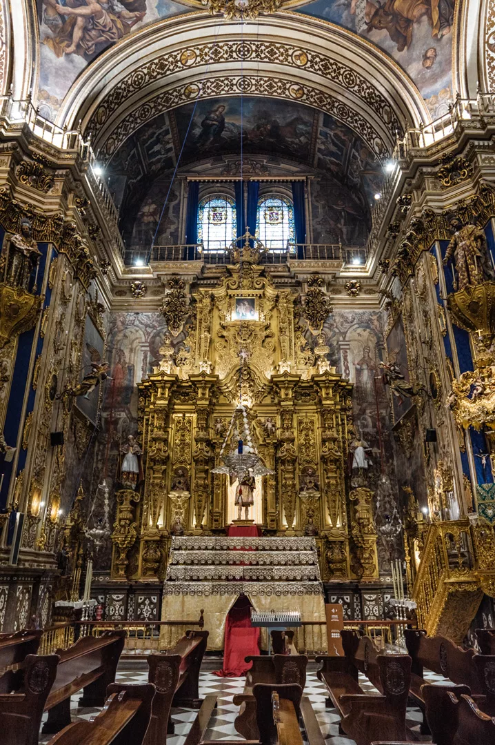
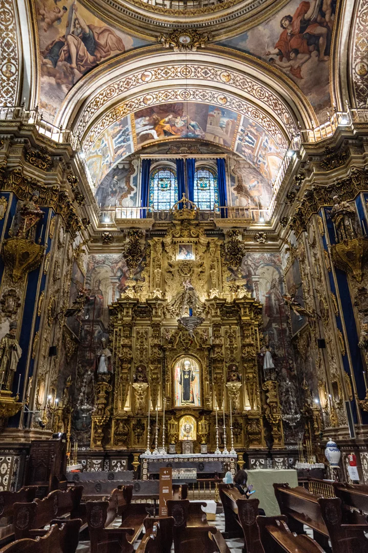
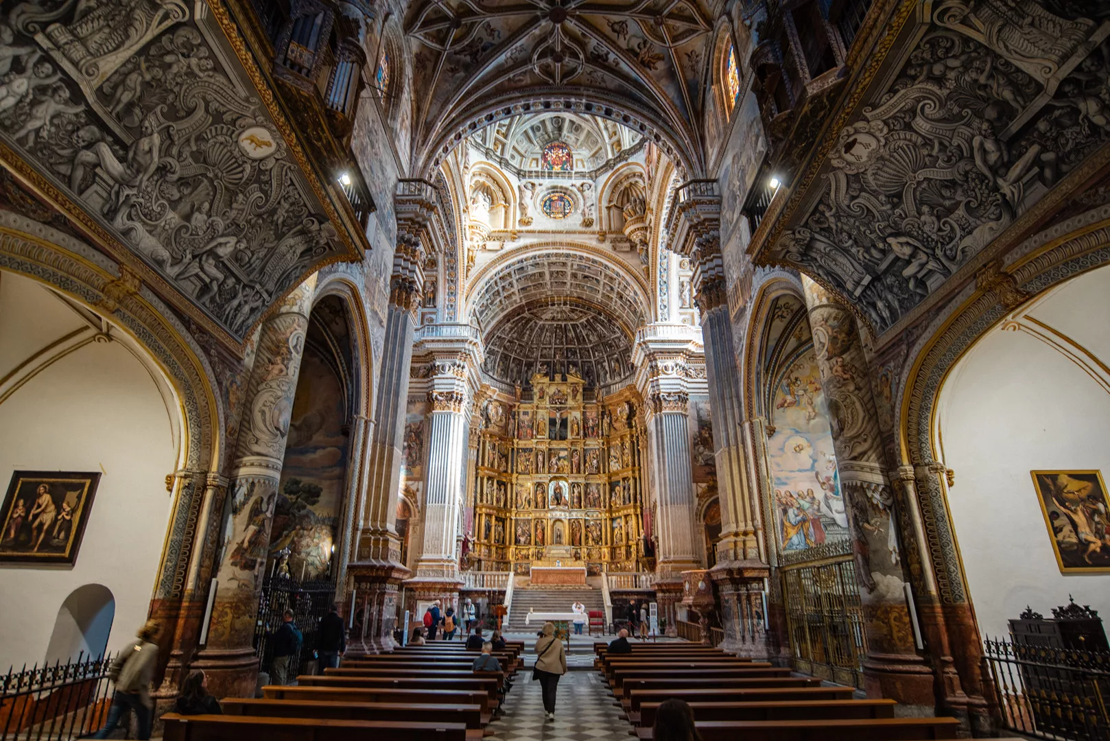
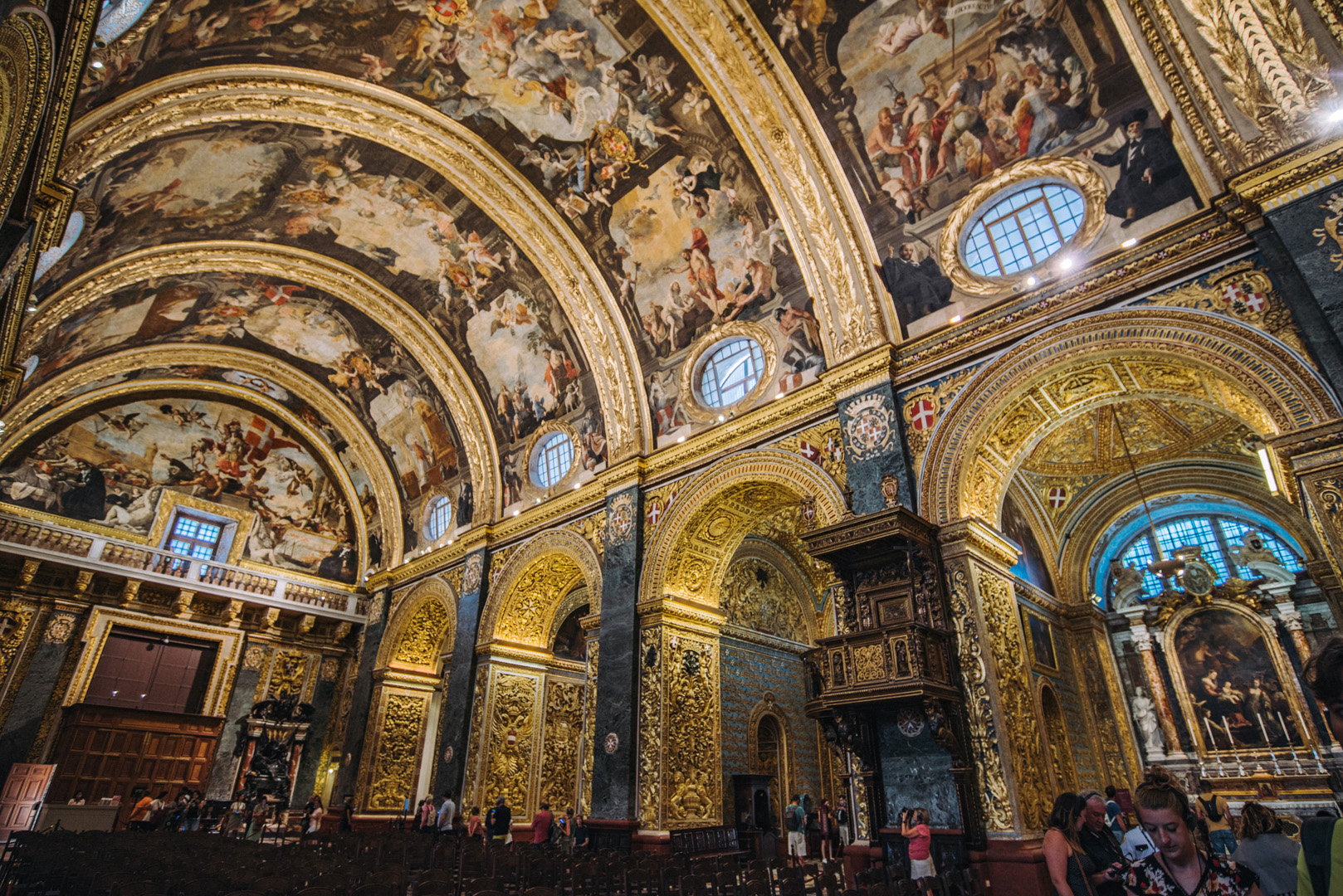
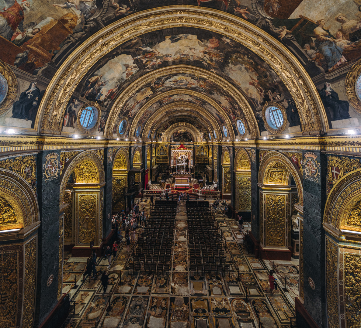
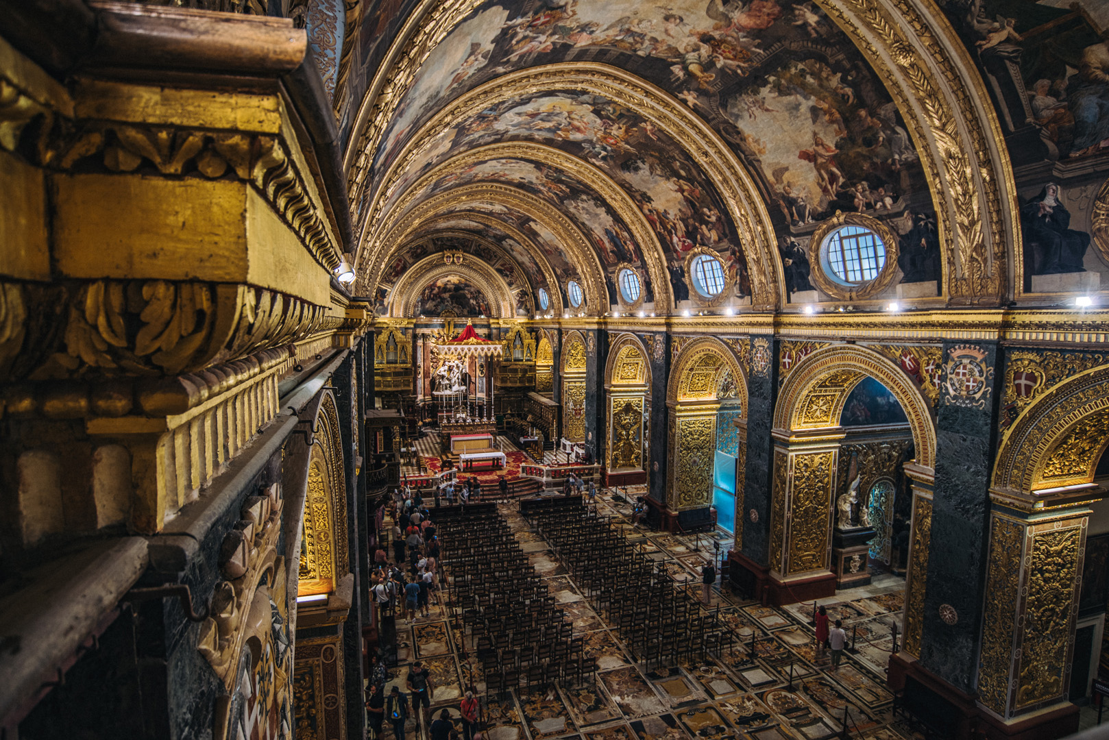
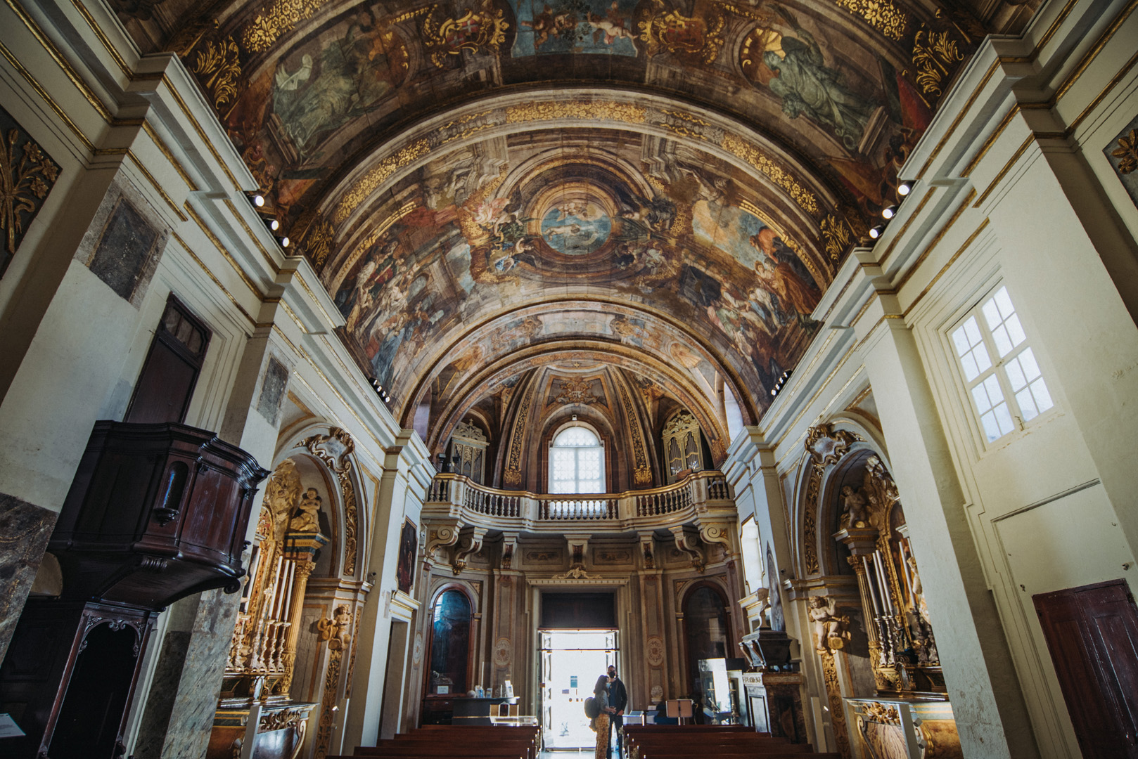
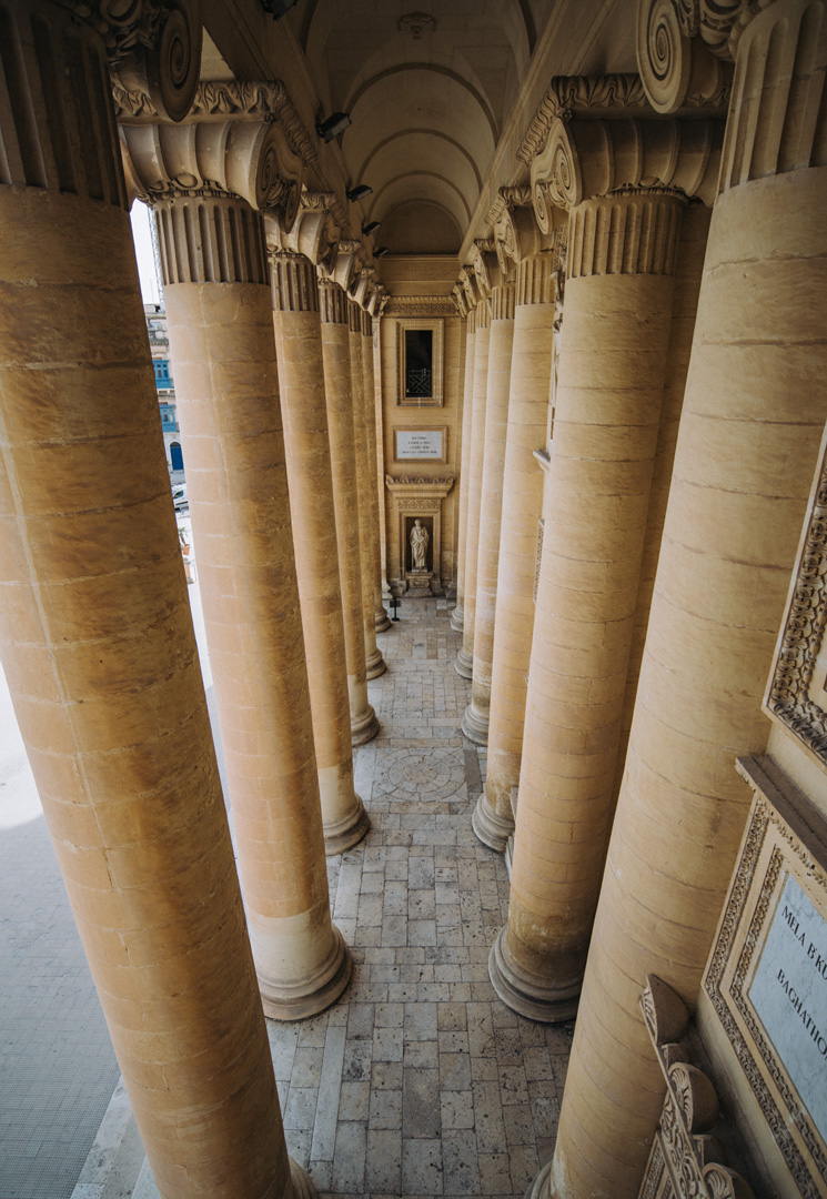
Side naves
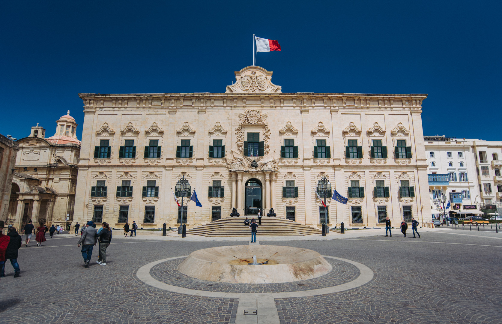
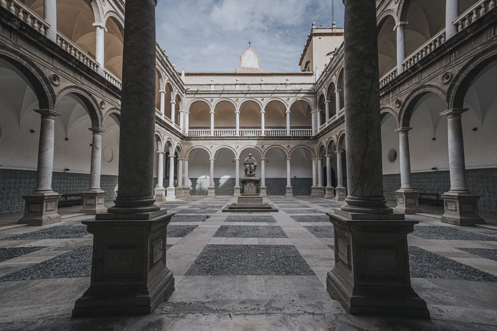
Berġa ta’ Kastilja (35°53’45″N 14°30’40″E) is an auberge with Castile Place in front of it.
Church of Our Lady of Victory in Valetta (35°53’45,5″N 14°30’39,5″E).
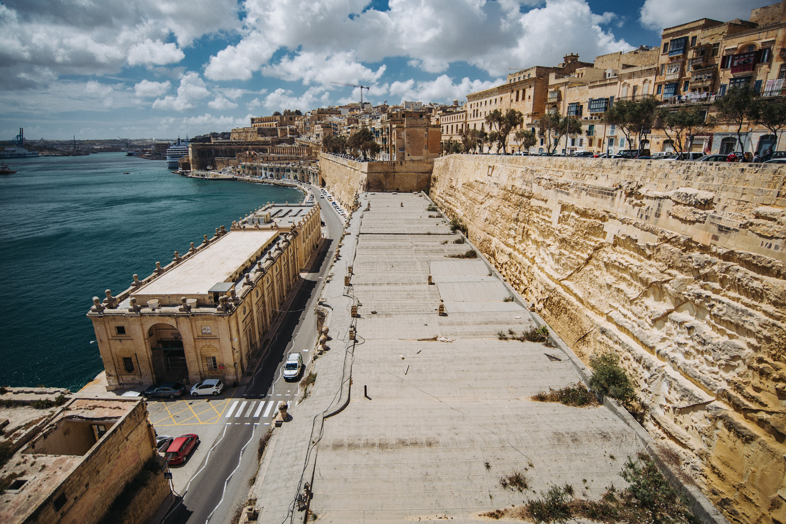
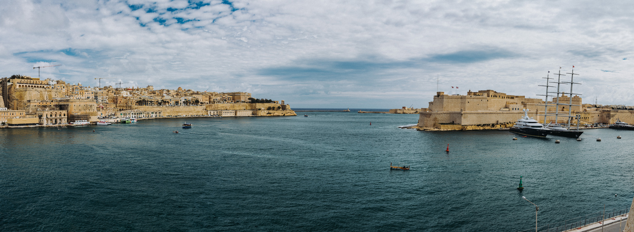
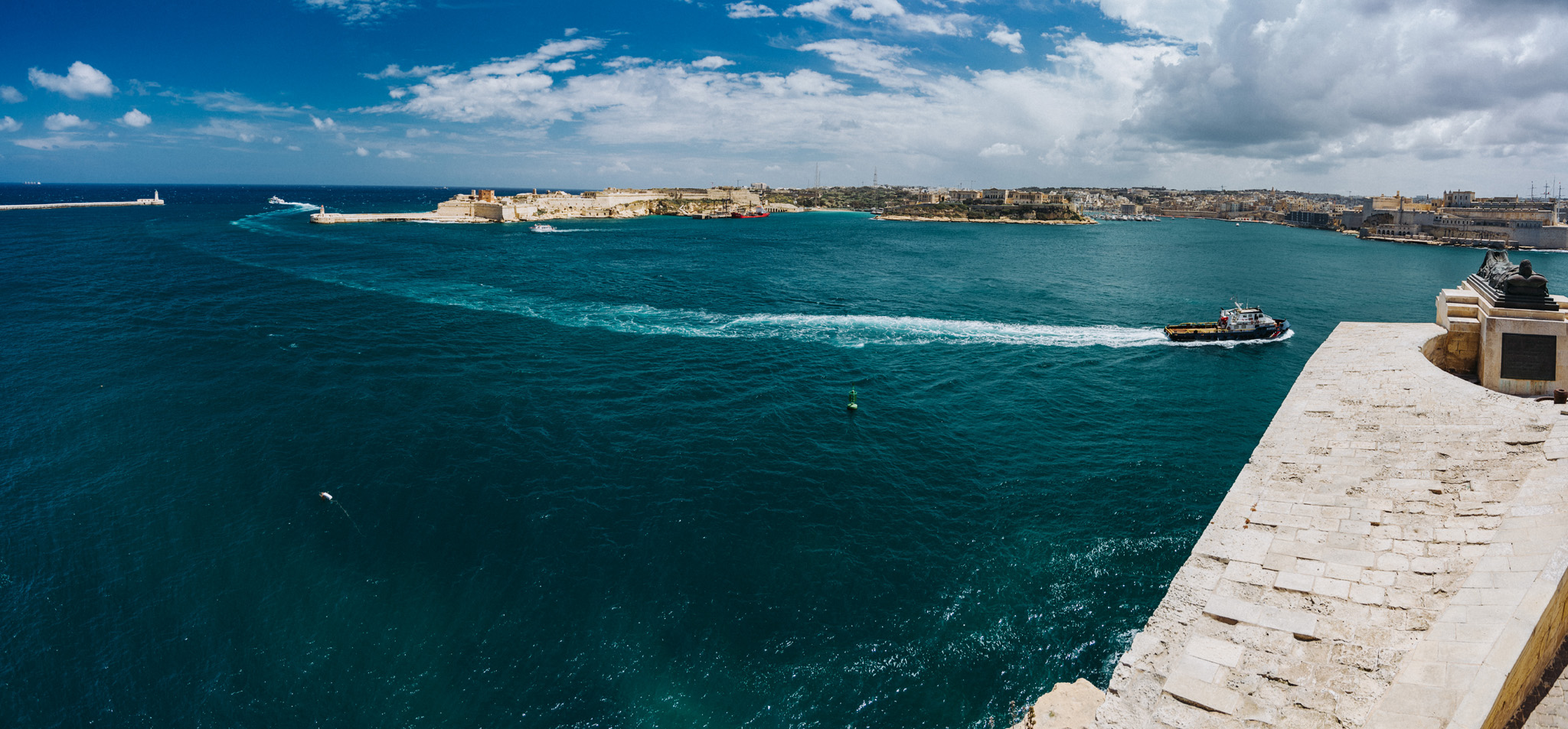
View on Bighi Bay from Ġnien il-Gardjola gardens (35°53’26,5″N 14°30’50,5″E). At left side Valetta is visible with Siege Bell War Memorial (35°53’51,4″ N 14°31’06″E) at the end (Fort St. Elmo at Valetta’s tip is not visible). On the right side closer is visible Fort St. Angelo (35°53’33″ N 14°31’03″E) and far in the background the tip of Fort Ricasoli (35°53’53″ N 14°31’30″E).
View on Fort Rikasoli from Lower Barrakka Gardens (35°53’51″ N 14°31’03″E).
View from Upper Barrakka Gardens (35°53’42″ N 14°30’43″E) on Fort St. Angelo and Bighi bay.
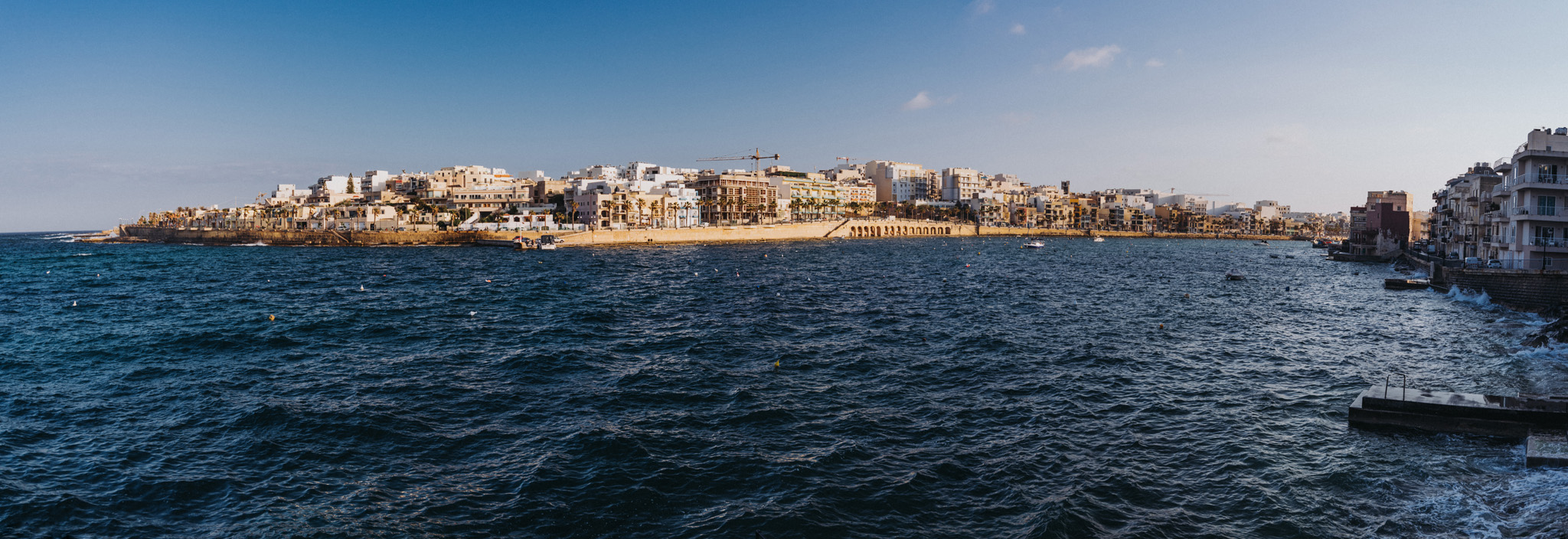
View on Il-Bajja ta’ Marsaskala bay in Marsaskala (35°51’52″ N 14°34’09″E).
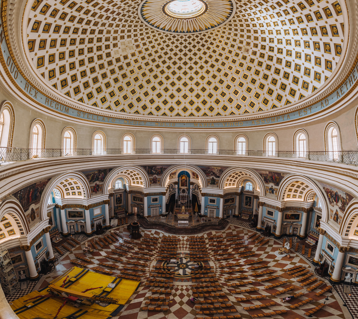
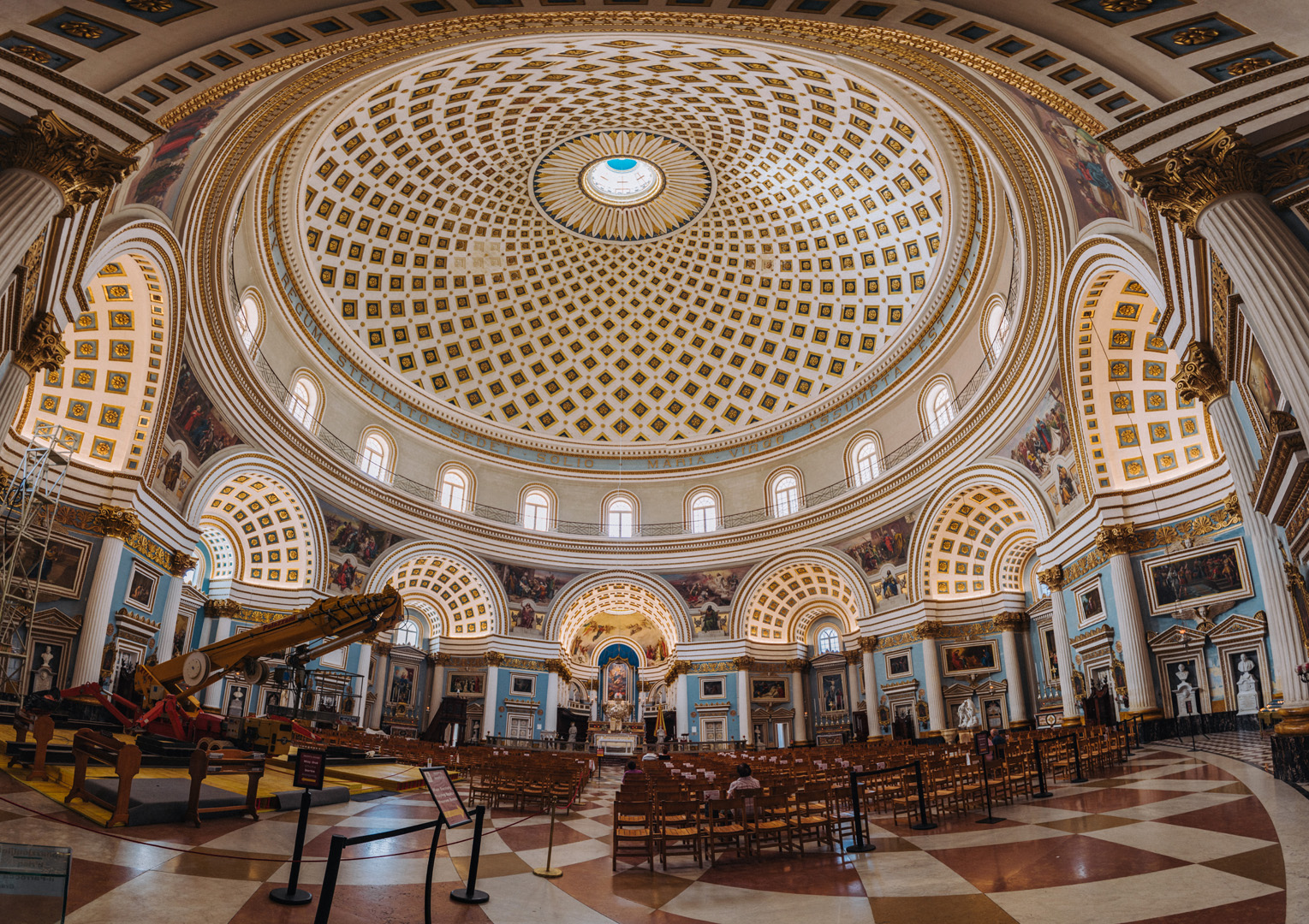
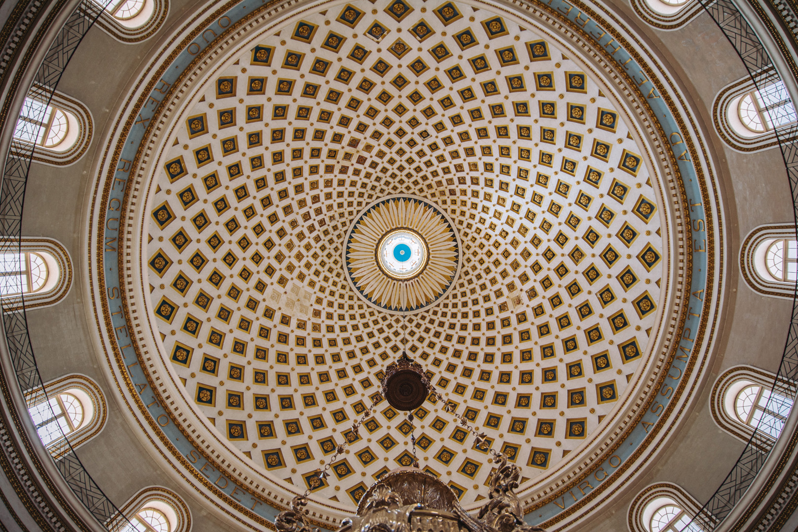
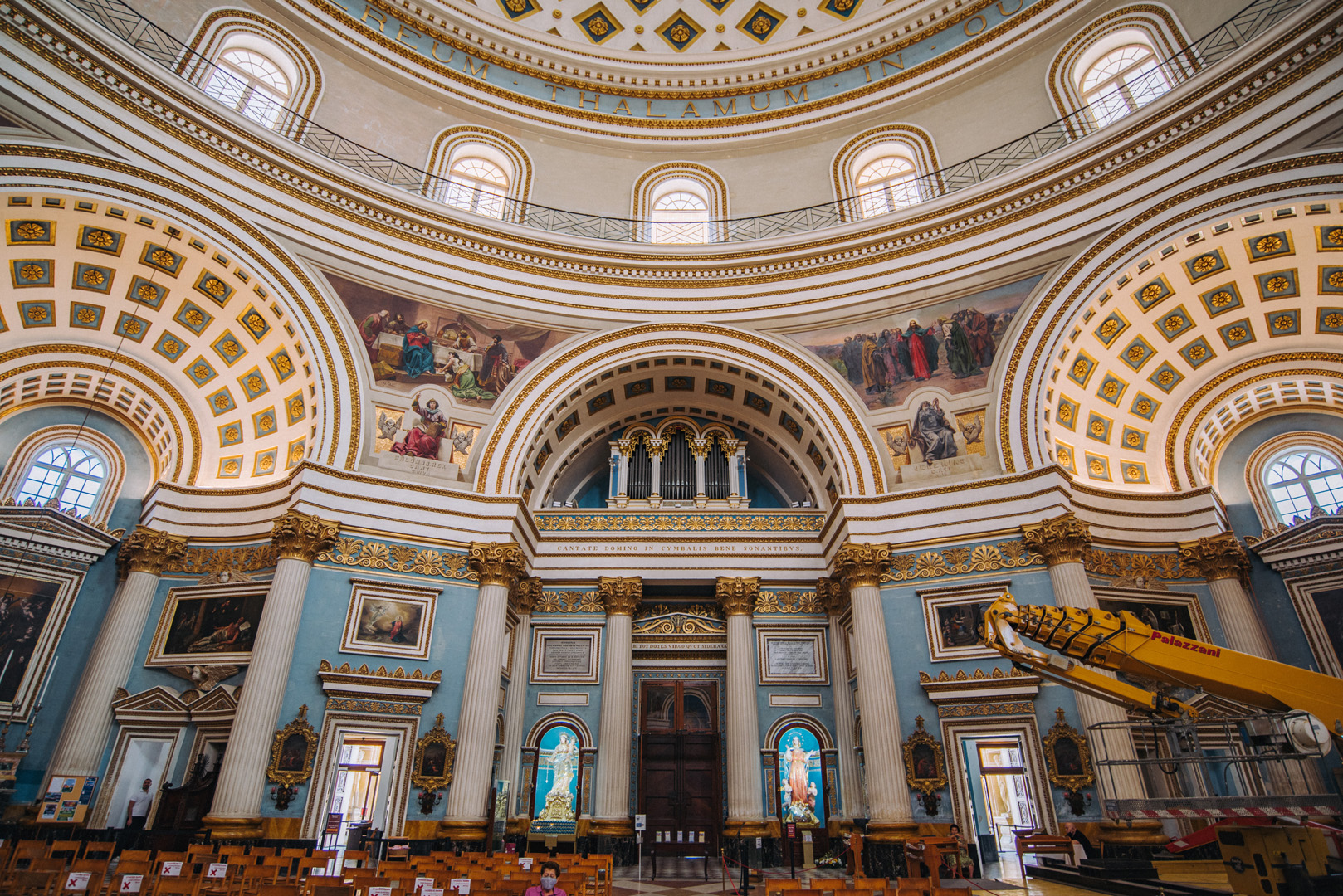
Rotunda of Mosta (35°54’36″ N 14°25’33″E).
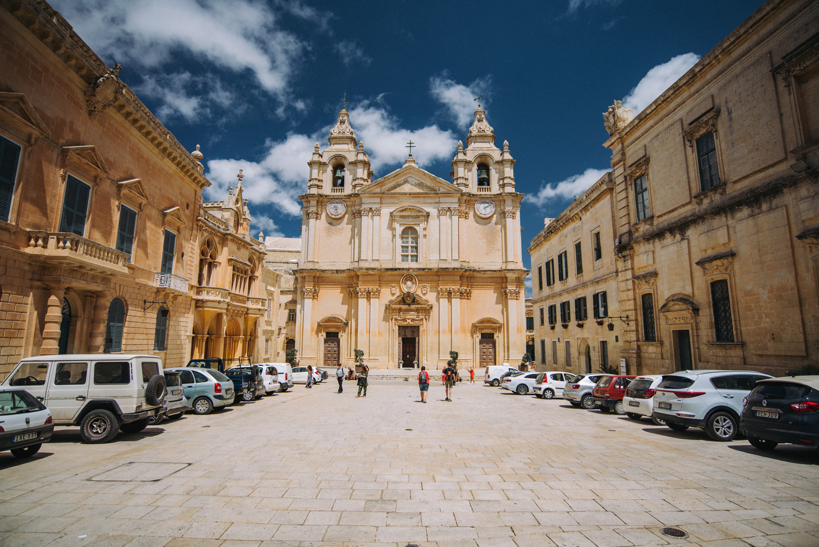
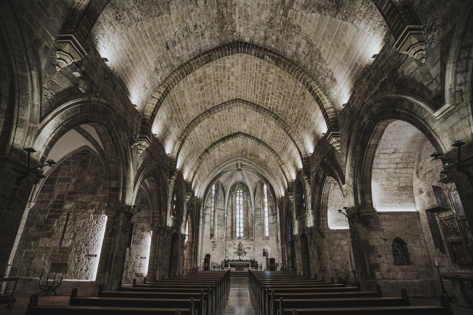
St. Paul’s Cathedral (35°53’11″ N 14°24’14″E) in Mdina.
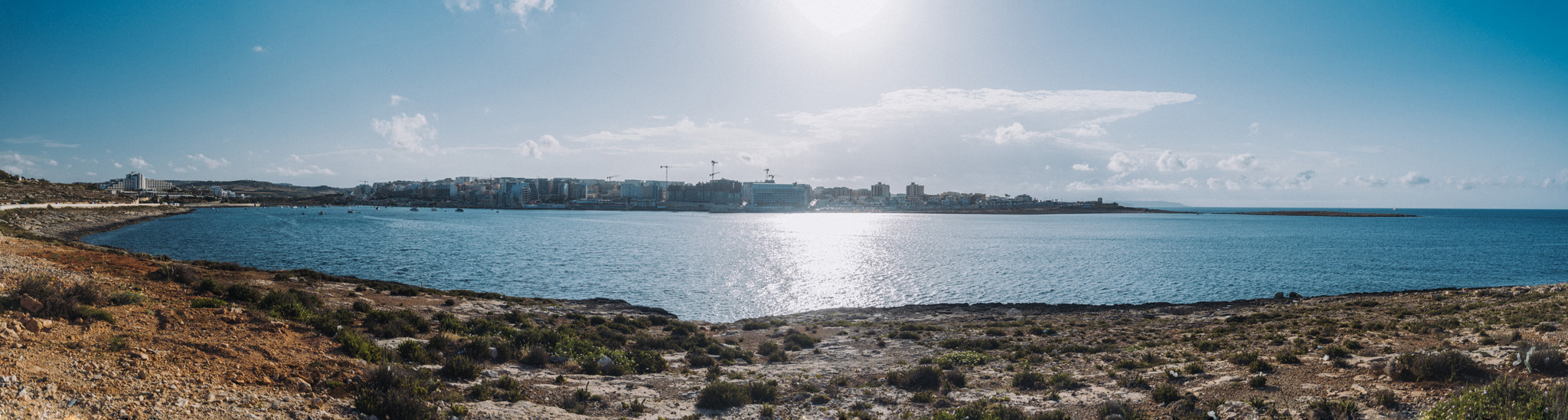
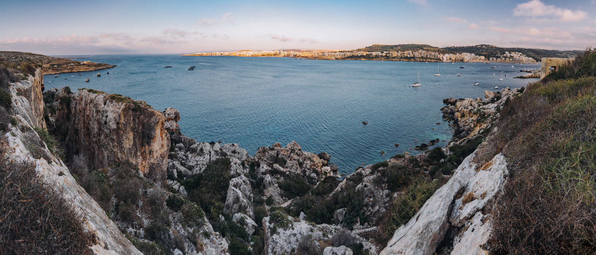
View on Benuarrat bay (35°57’11″ N 14°25’44″E) and Qawra (35°57’17″ N 14°25’17″E) from nearby of Challis Tower (35°57’12″ N 14°26’04″E).
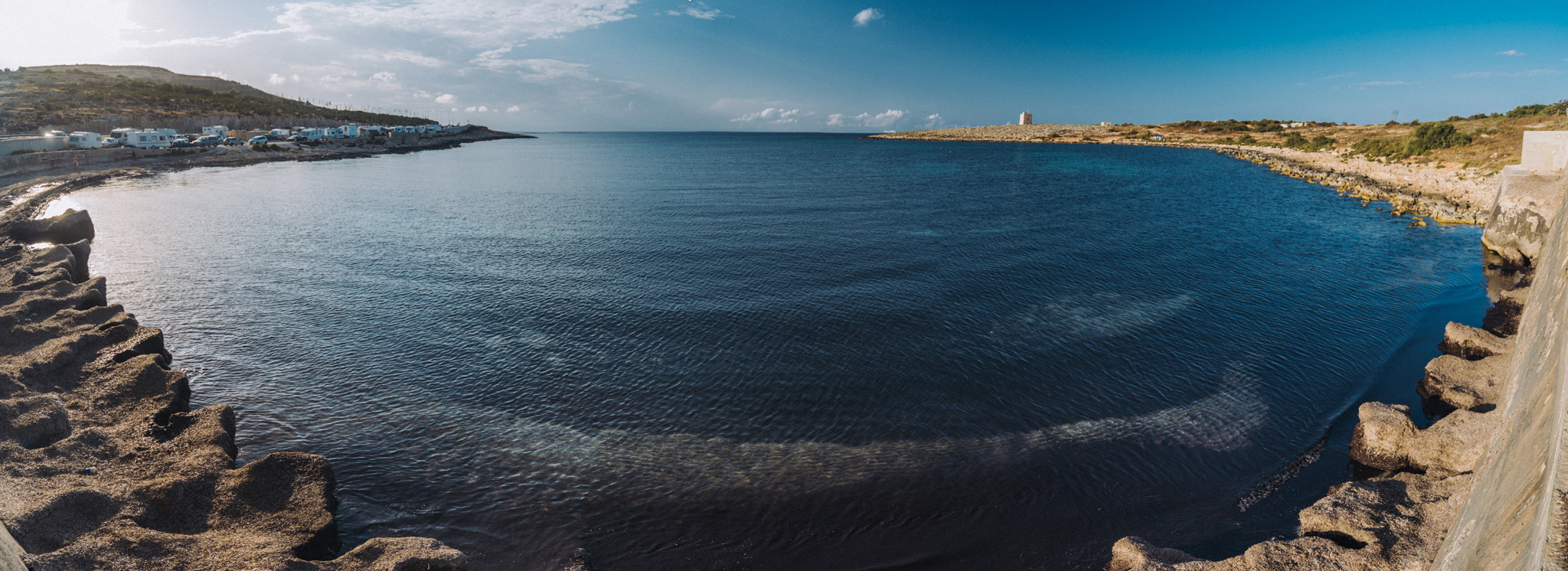
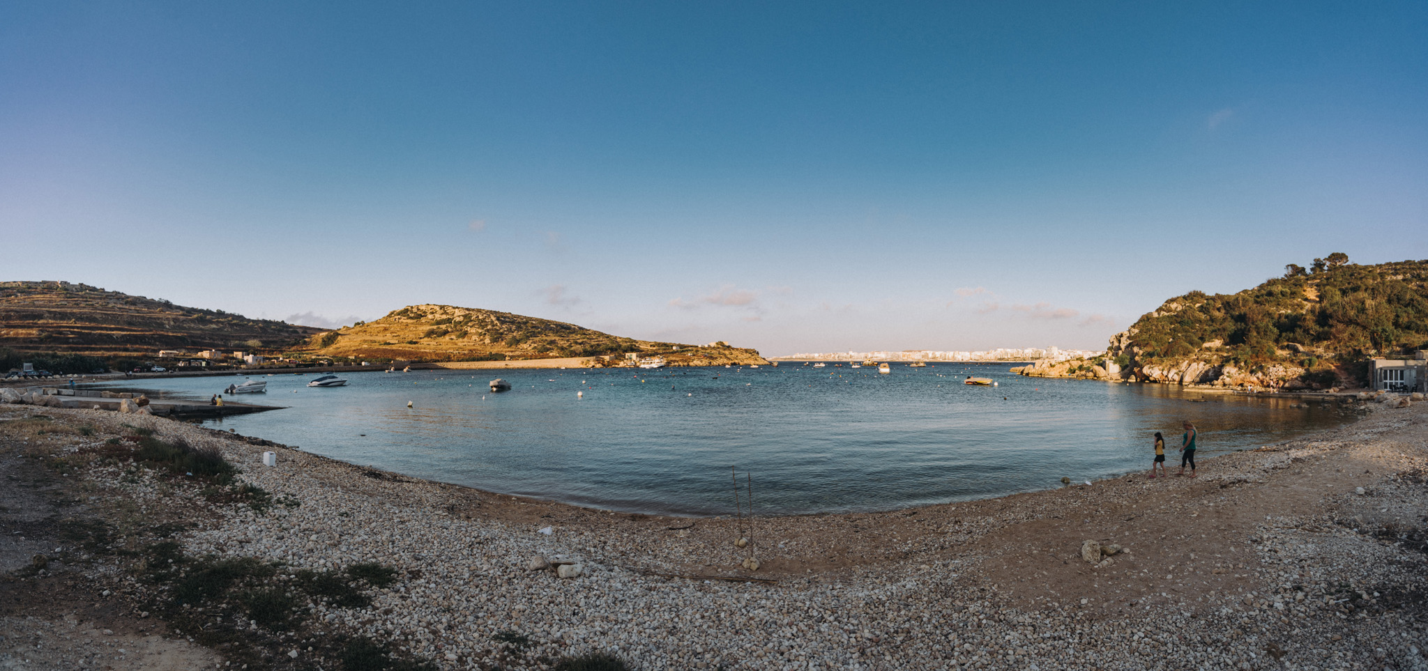
View on Qalet Marku bay from nearby road.
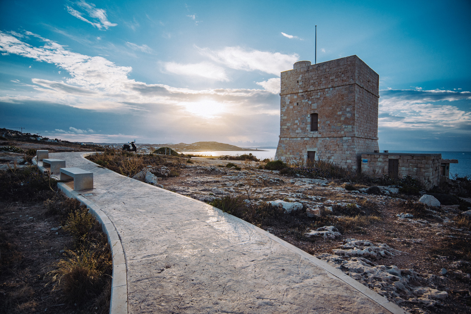
Madliena tower (35°56’11″ N 14°28’23″E).
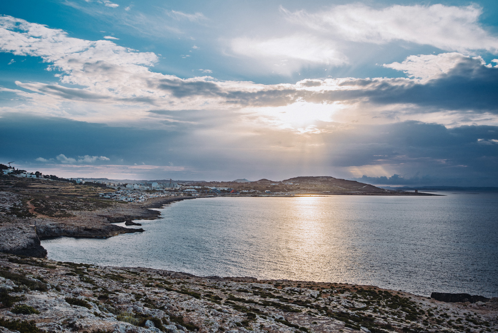
View on Marku Shoal bay (35°56’31″ N 14°27’59″E) from Madliena tower.
View on Bugibba (35°56’57″ N 14°24’37″E) from around Il-Hofra (35°57’23″ N 14°23’26″E).
Mistra Bay (35°57’30″ N 14°23’29″E), in the background visible Bugibba.
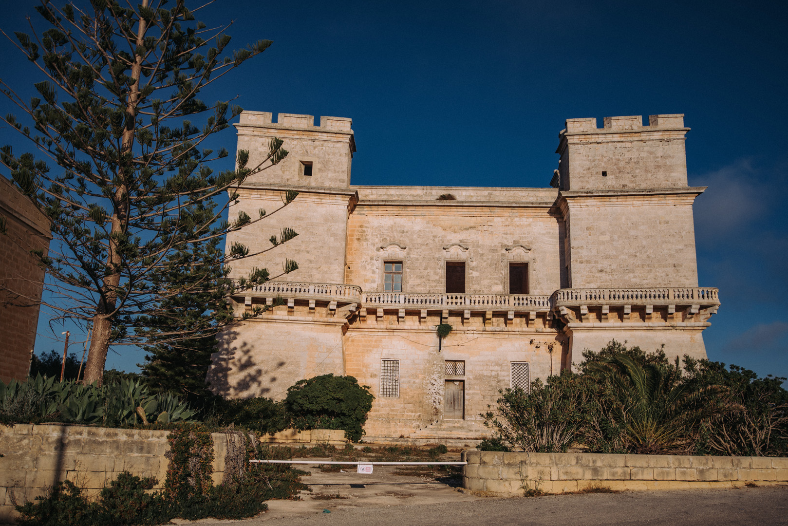
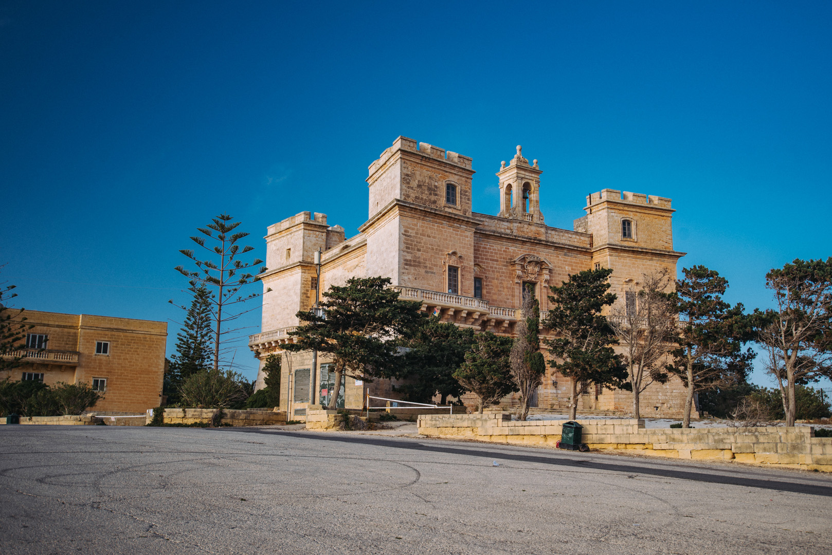
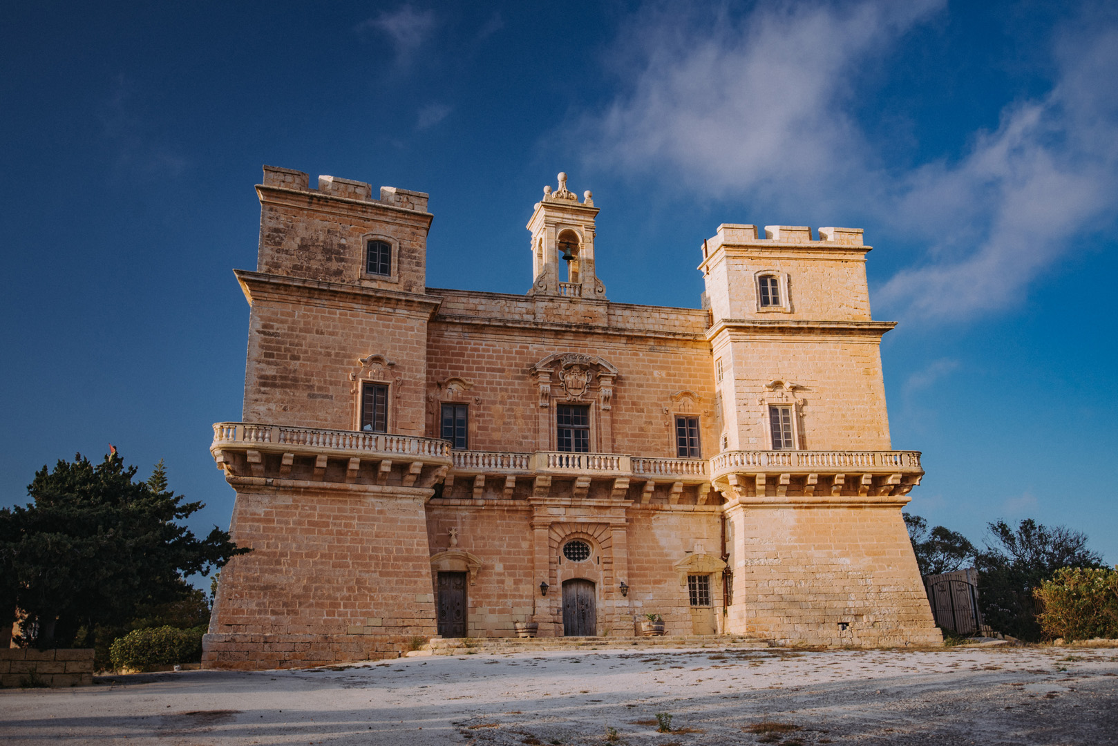
Selmun Palace (35°57’33″ N 14°22’53″E).
View on Imgiebah Bay (35°58’04″ N 14°22’55″E).
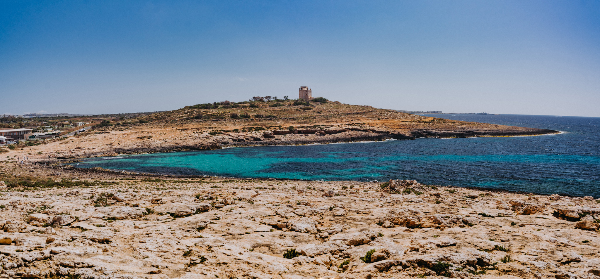
White Tower (35°59’43″ N 14°21’52″E) seen from the around of the Coral lagoon (35°59’52″ N 14°22’03″E).
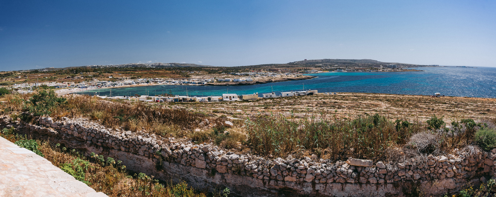
View on L-Armier (35°59’29″ N 14°21’48″E) from White Tower.
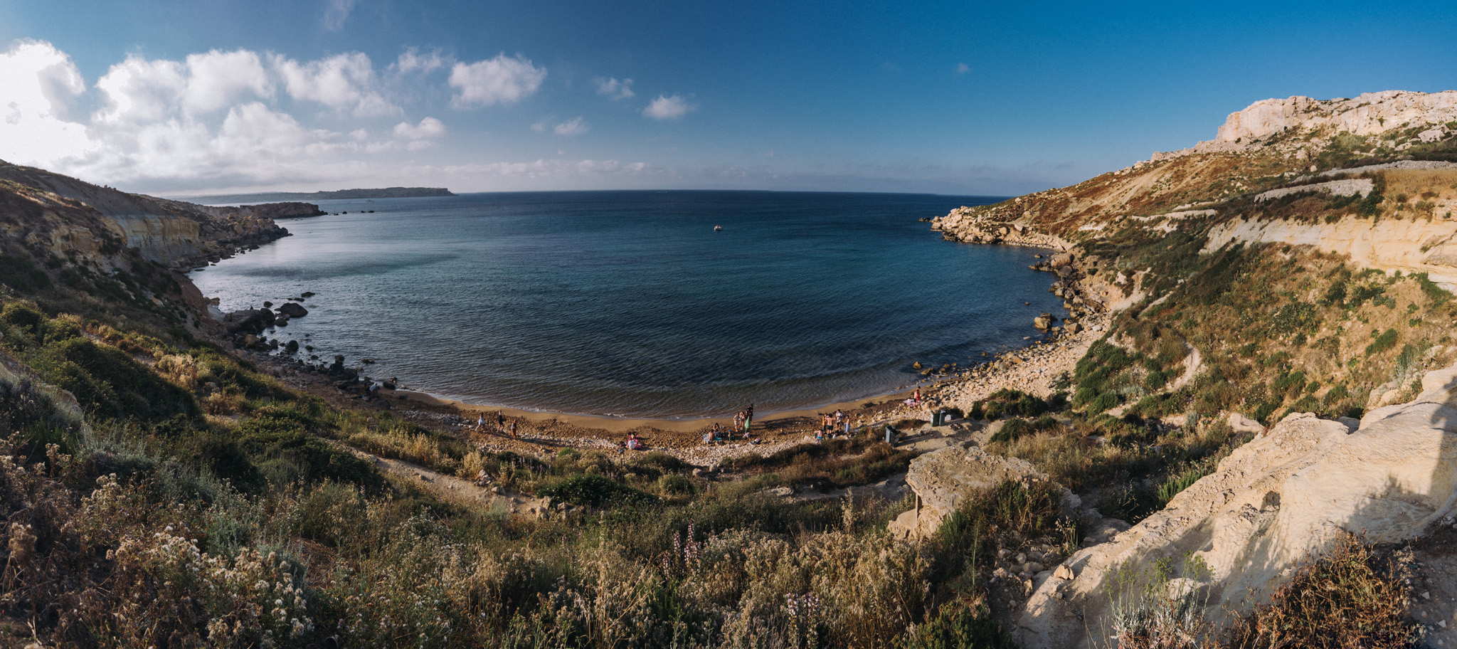
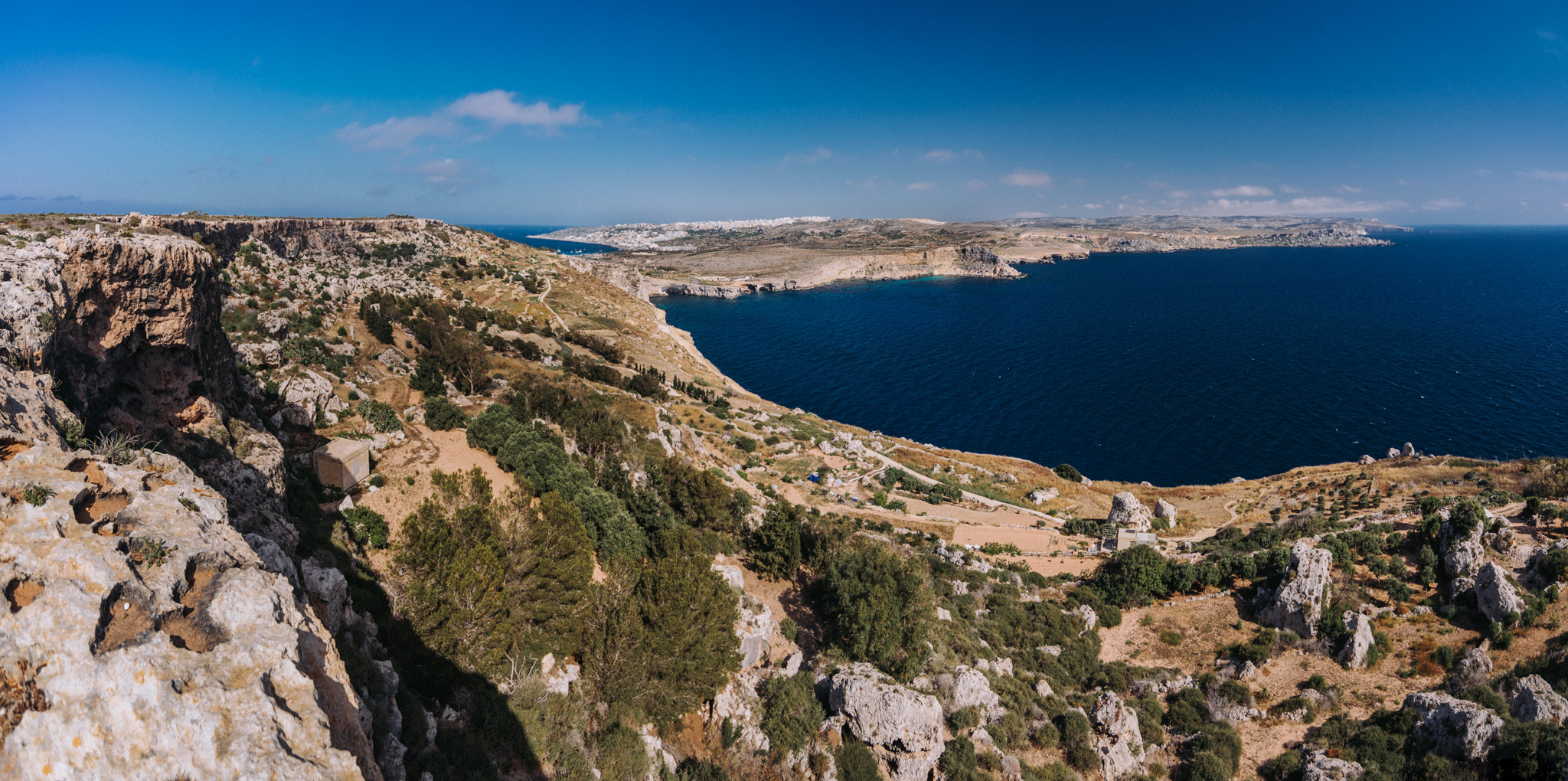
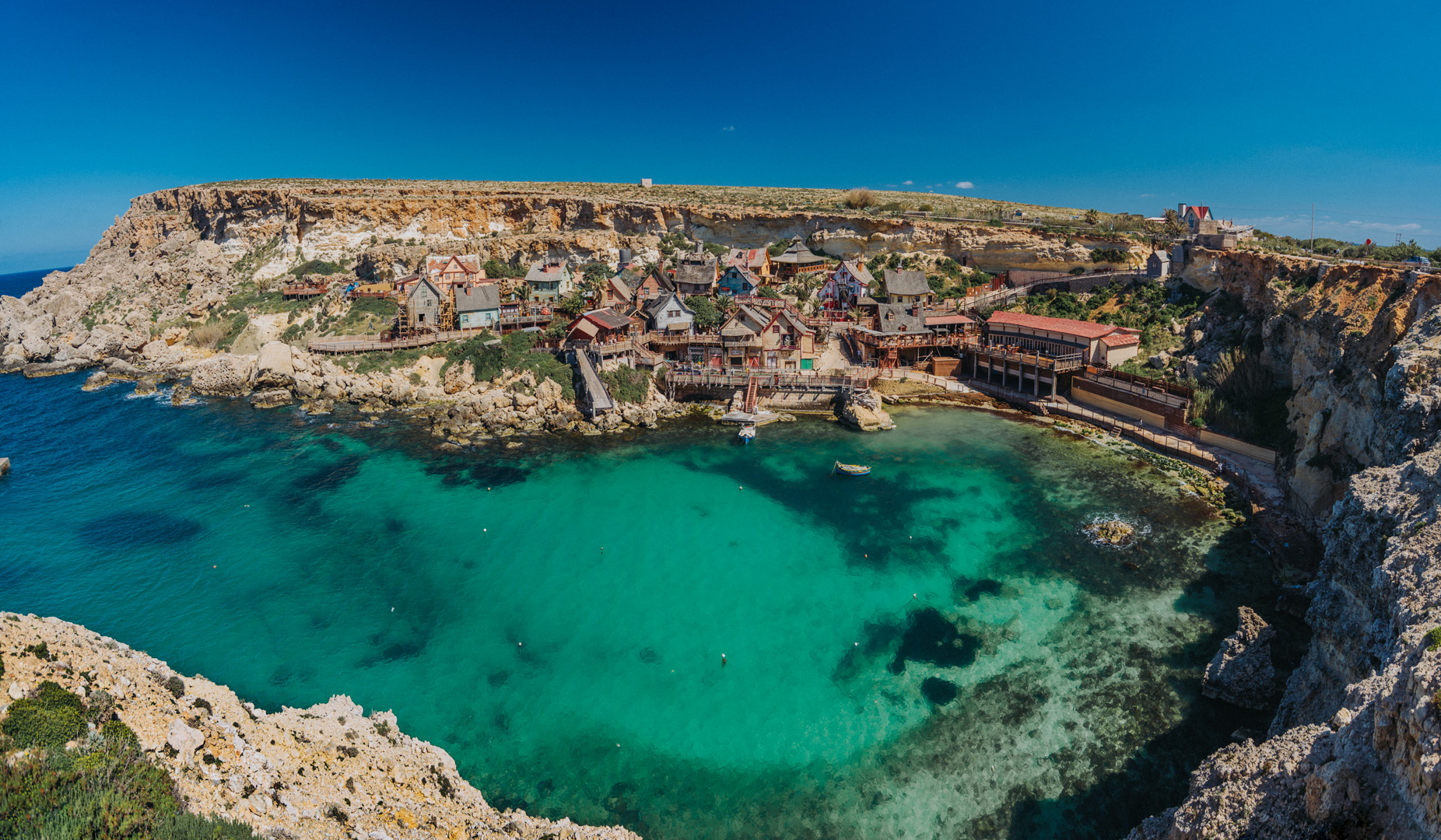
View on Ras in-Niexfa Bay (35°57’56″ N 14°19’59″E) from around Radar station (35°58’18″ N 14°19’29″E). Popeye Village is slightly to the left from center of the image, but not visible.
Popeye Village (35°57’39″N 14°20’28″E) was built in 1979 for the purpose of filming the movie Popeye. Now it is a theme park.
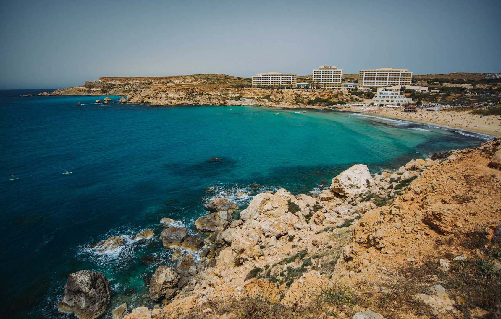
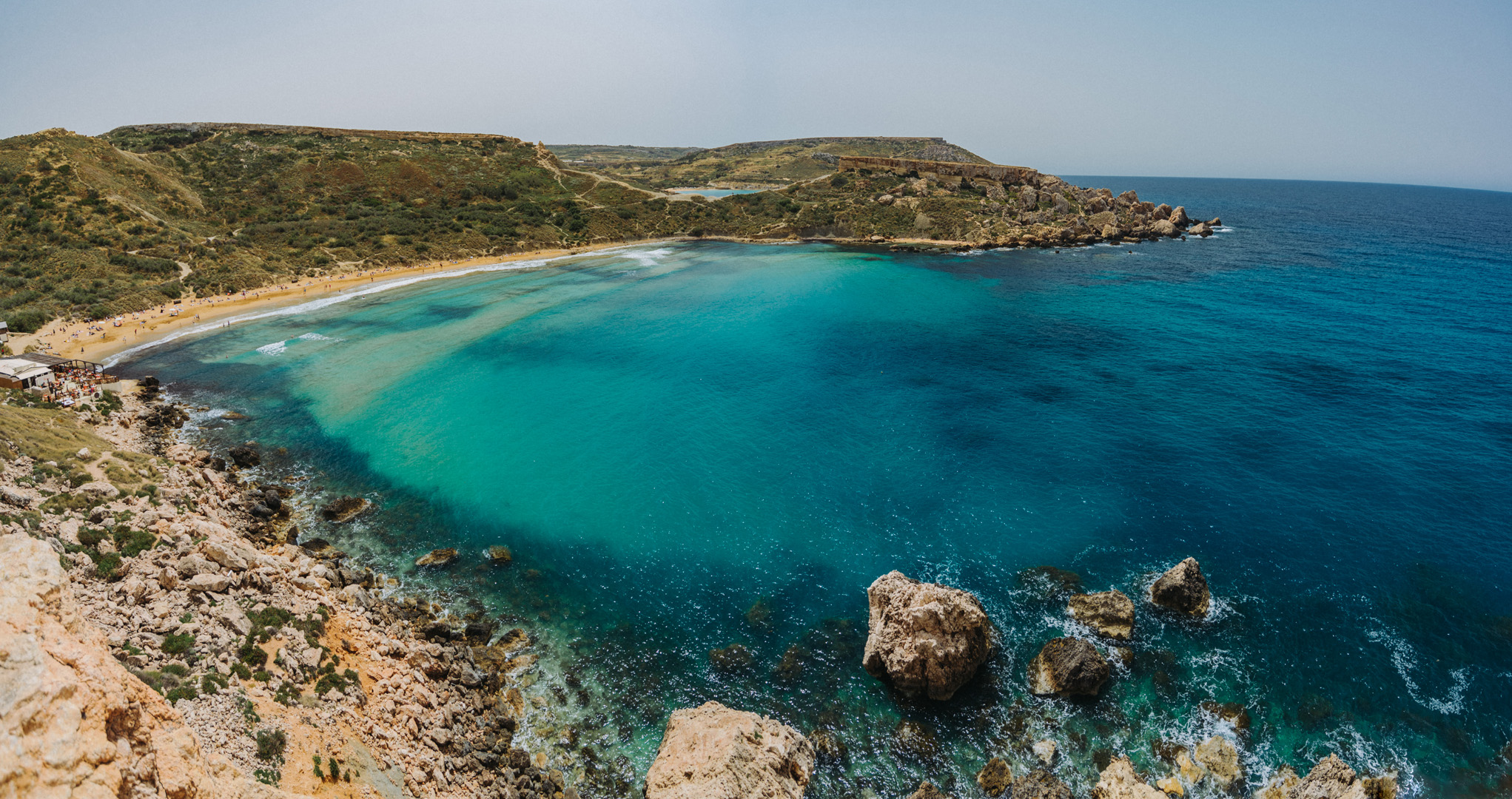
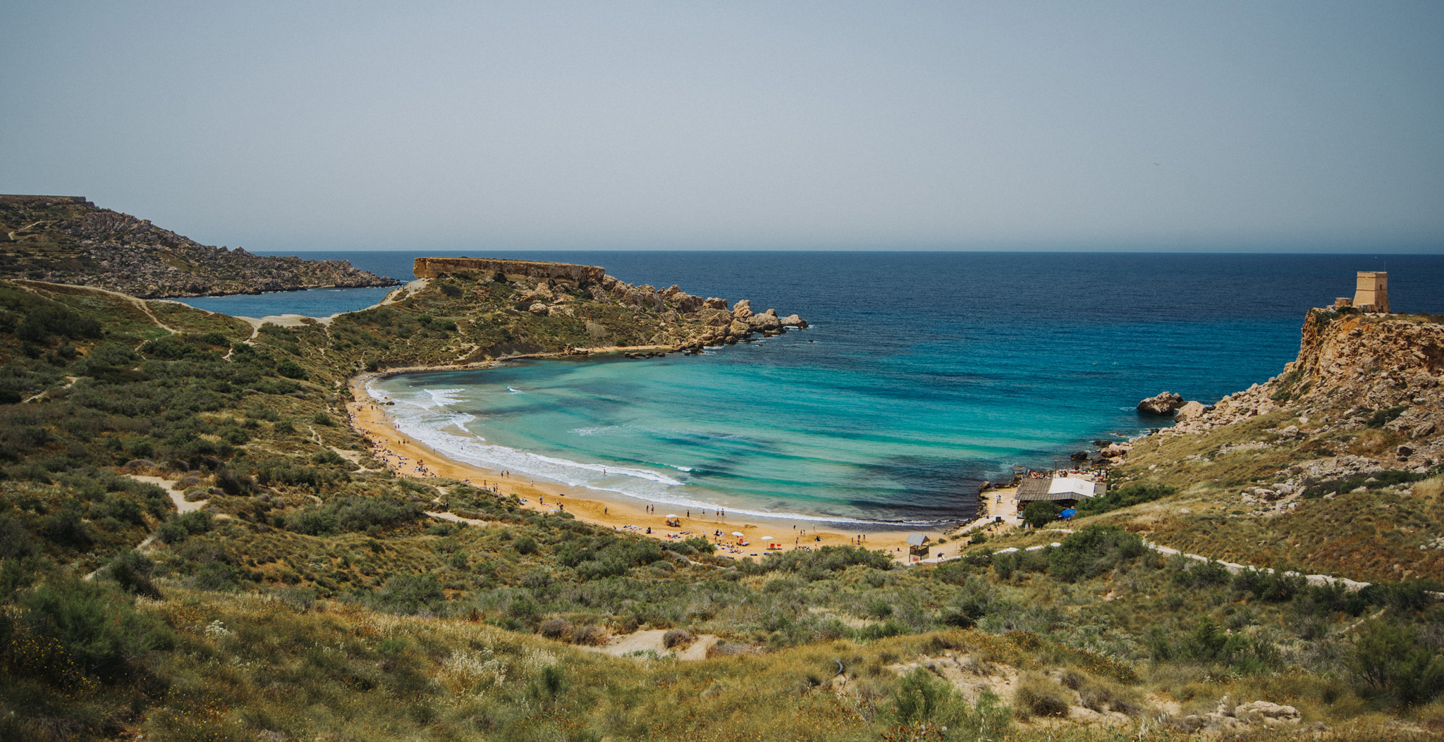
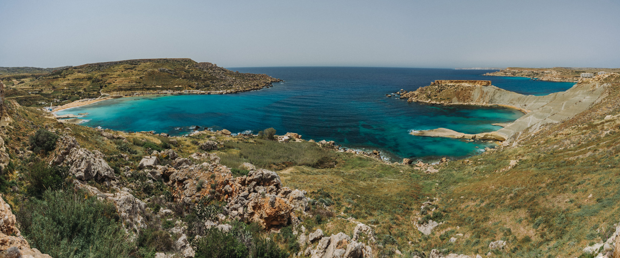
Golden Bay beach (35°56’02″N 14°20’40″E).
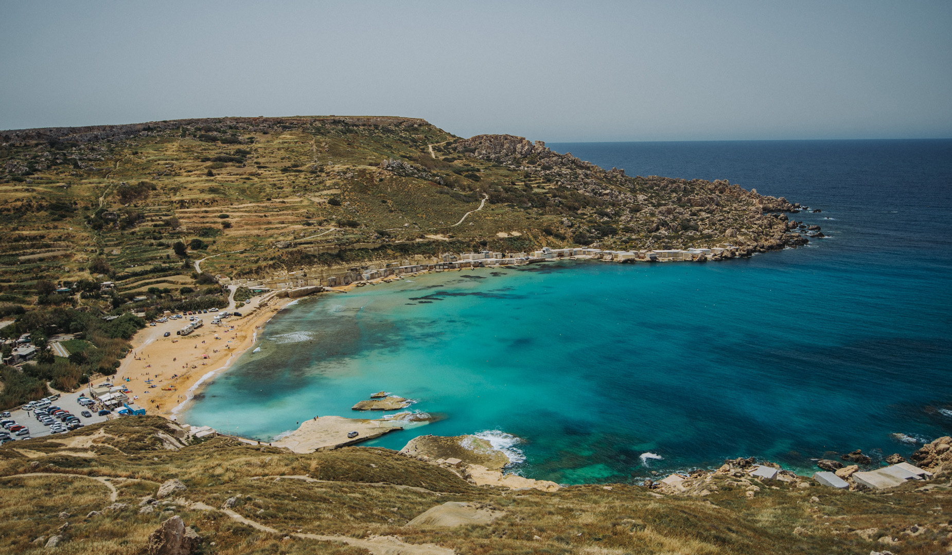
Next to Golden Bay beach is Għajn Tuffieħa beach (35°55’44″N 14°20’41″E), one of the most popular beaches on Malta.
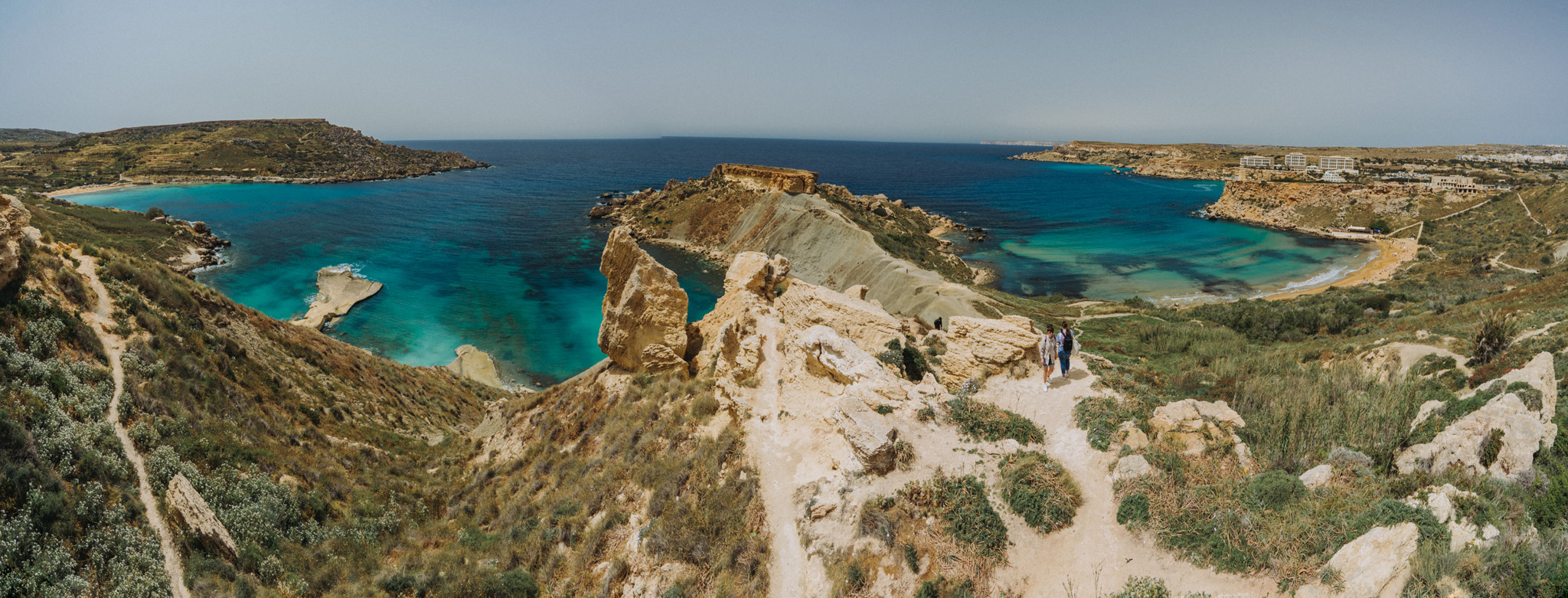
A peninsula between Għajn Tuffieħa and Il-Ġnejna beaches.
Il-Ġnejna beach (35°55’13″N 14°20’36″E).
View on Fomm ir-Riħ Beach (35°54’24″ N 14°20’28″E) from viewpoint (35°54’29,5″ N 14°20’33″E).
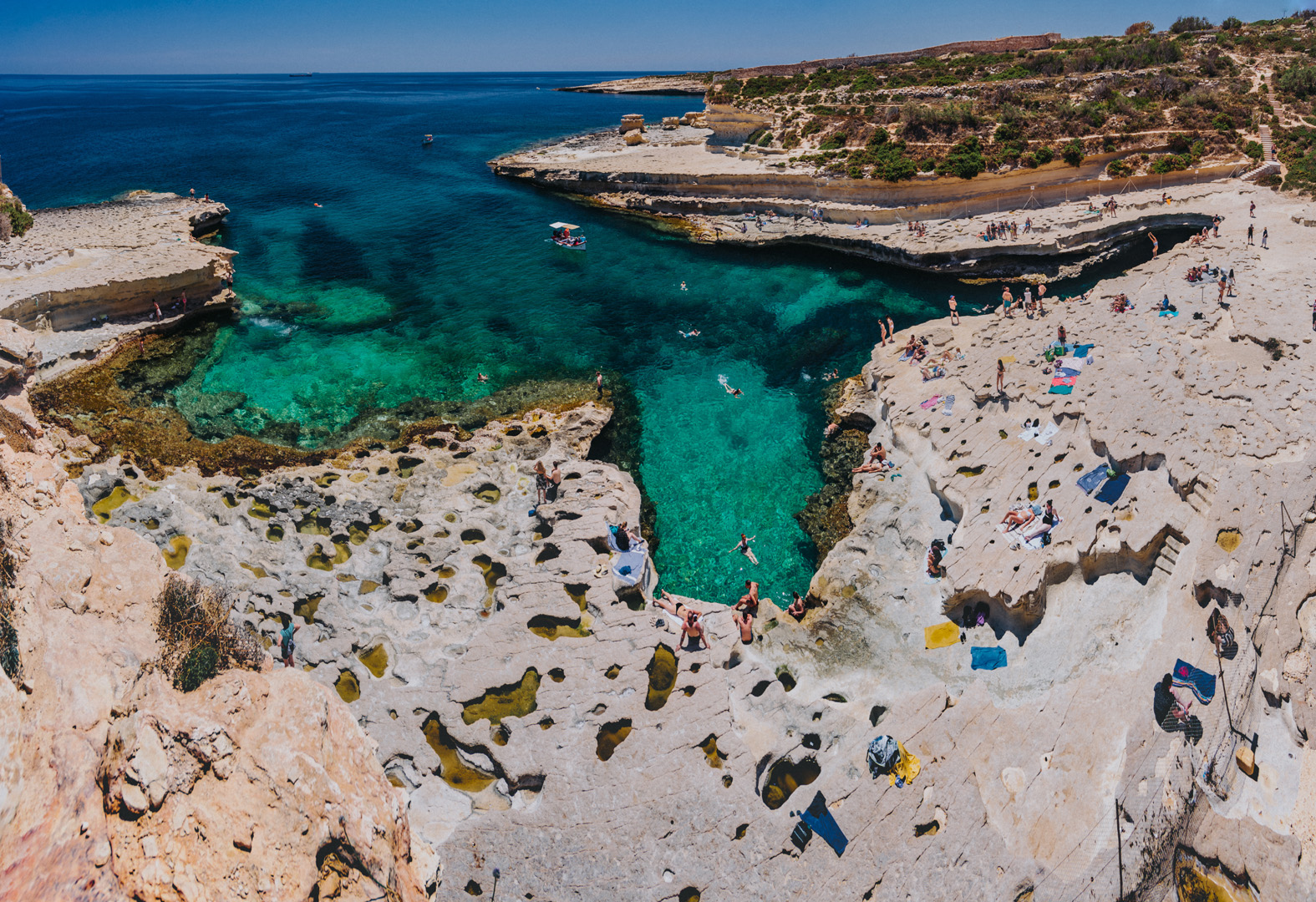
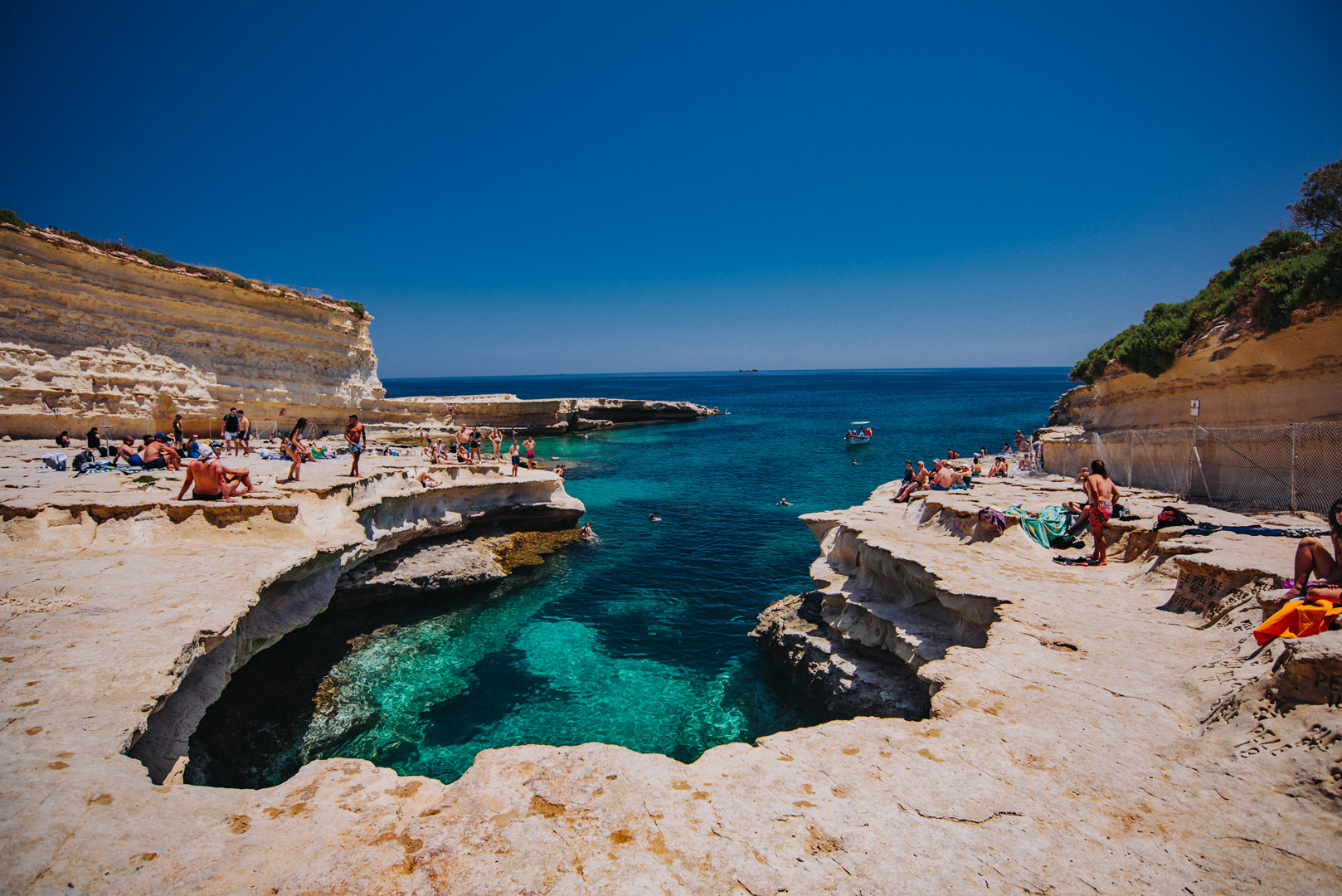
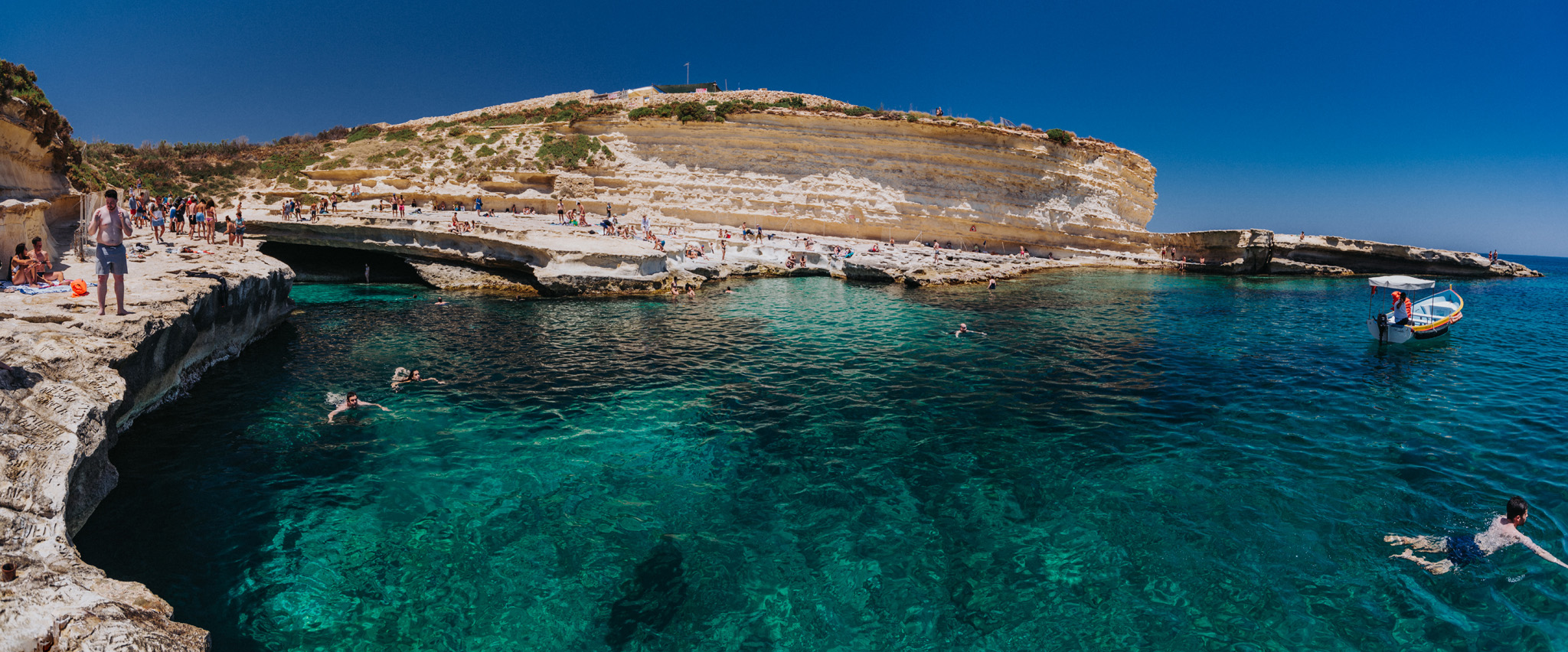
St. Peter’s pool (35°49’59″ N 14°33’44″E) is a nice natural pool formed by rocks, it’s a very popular place among young people.
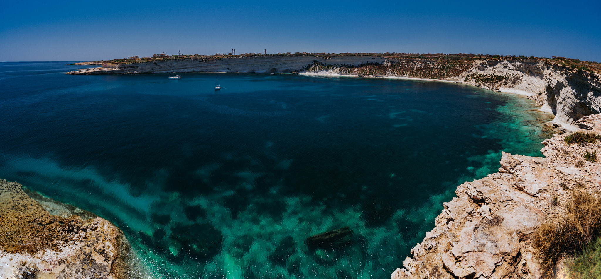
View on Il-Ħofra ż-Żgħira bay (35°50’13″ N 14°33’42″E).
View on Il-Ħofra l-Kbira bay (35°50’26″ N 14°33’55″E).
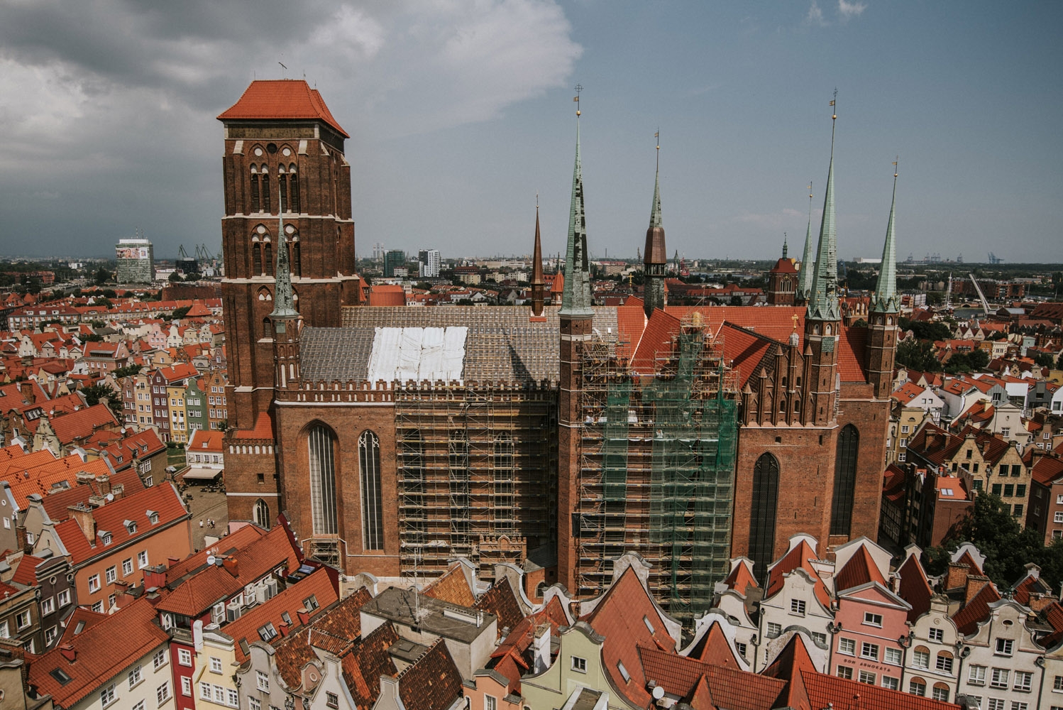
In polish “Bazylika Mariacka“, it’s one of the biggest brick churches in the world. The building began in 1343, it was numerous times extended and changed until it was completed in 1502. Inside the basilica there is a room for about 25 000 people, which at the time if it’s completion was more than half of city’s population. It is located in Gdańsk’s Main City district at 54°20’59″N 18°39’11″E.
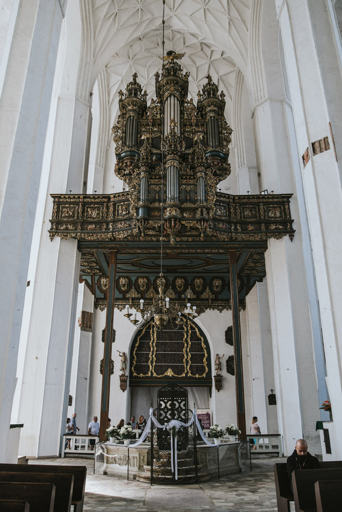
In 1945 because of fights during second world war, 40% of domes collapsed, part of the paintings, sculptures and altars were destroyed and moved away. Organs were also destroyed.
St. Mary’s Basilica is 30 meter high with the bell tower ranging 82 meter high. The fee for the bell tower entrance is 10 zł, reduced ticket 5 zł.
View on St. Mary’s Basilica from Main City Town Hall.
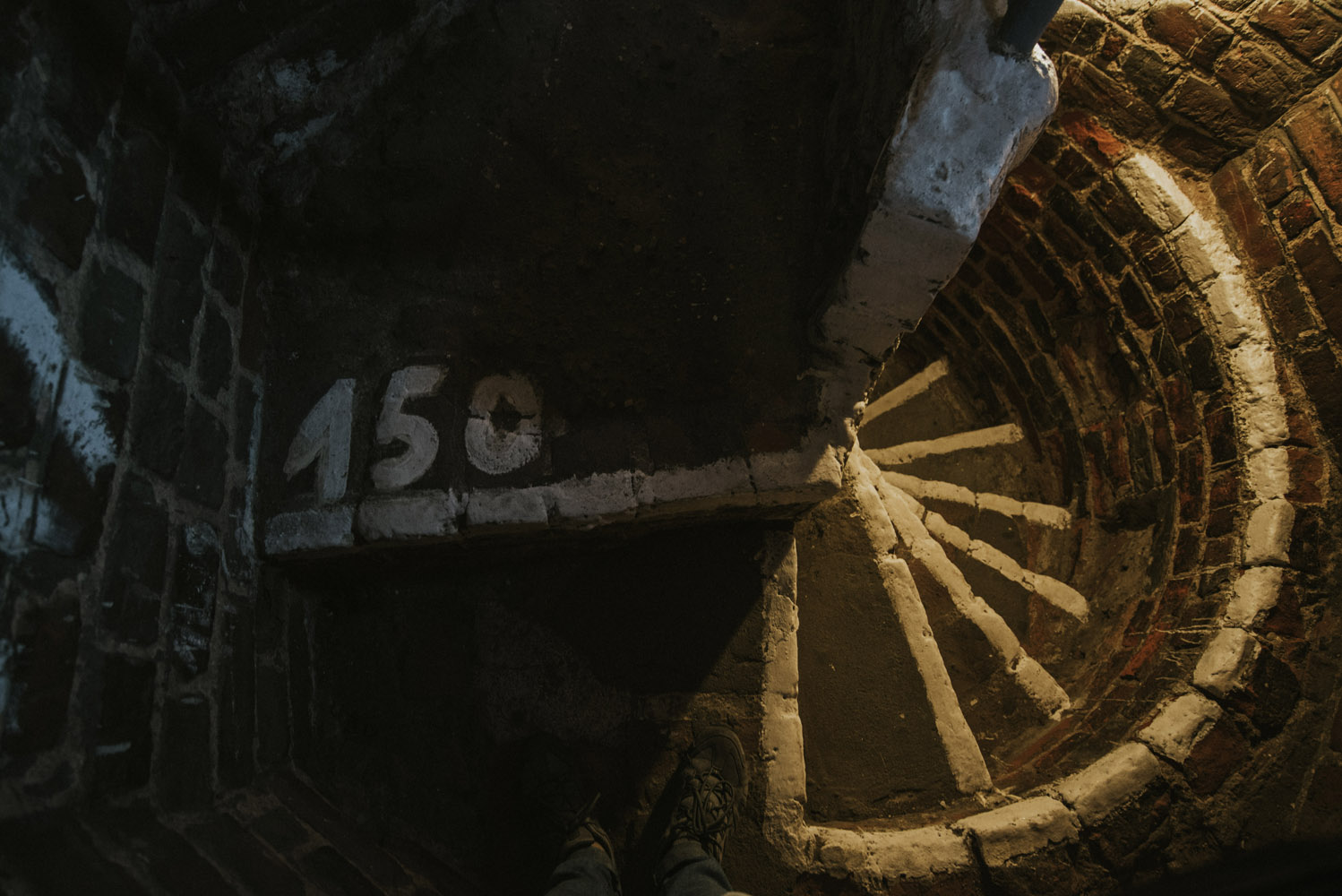
There are 409 steps to reach the top of bell tower. First 150 steps are narrow spiral stairs that look like this.
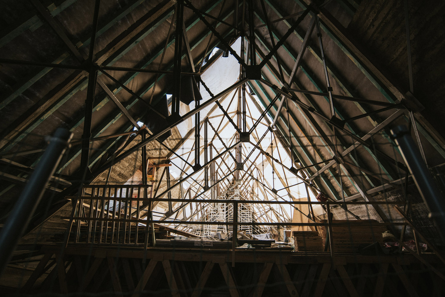
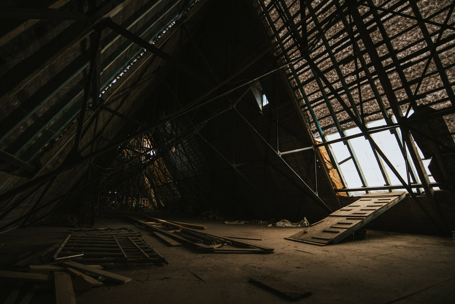
You then are at the roof of the basilica, above the domes. Roof is under renovation, hence you can see parts of roof covered just with foil.
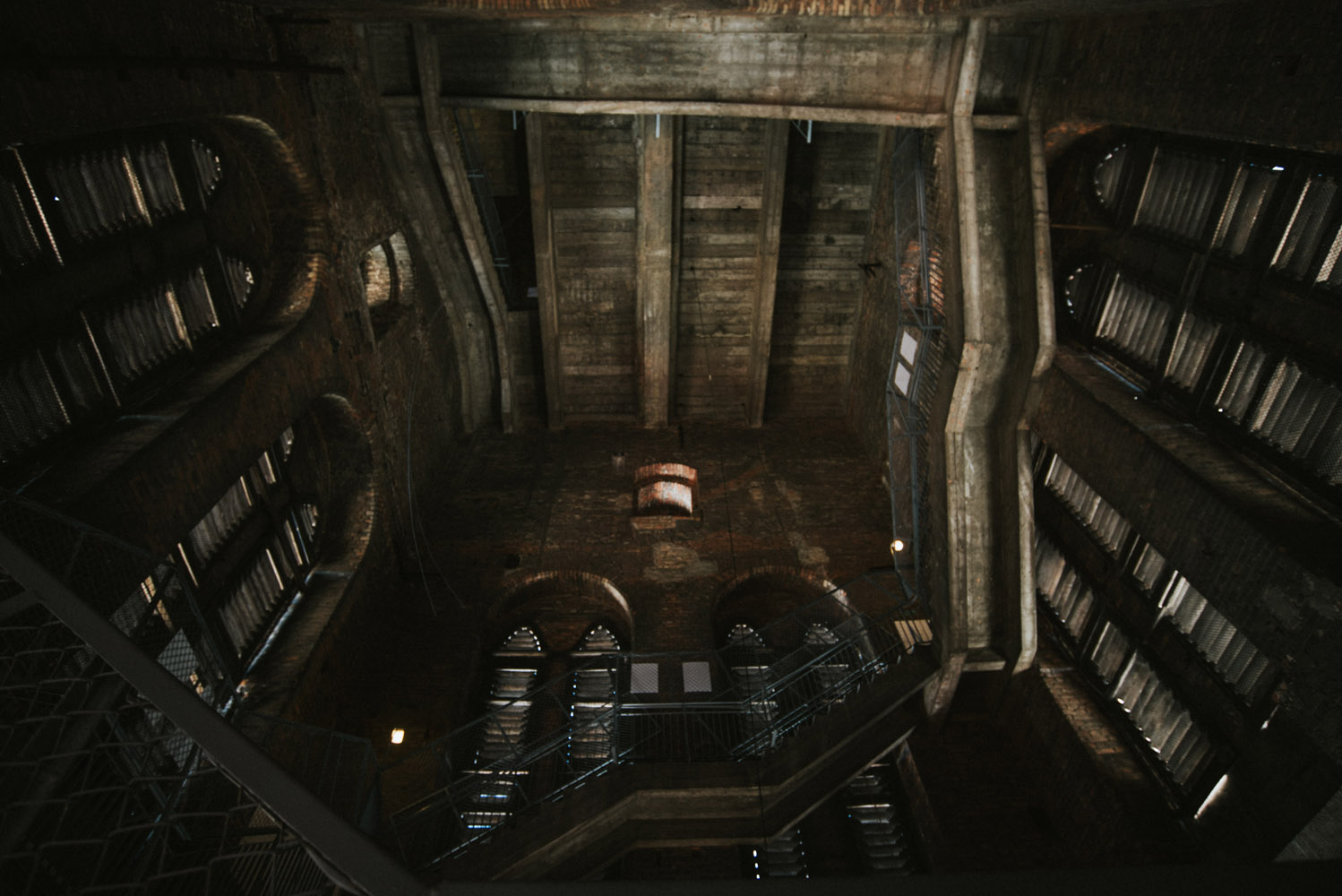
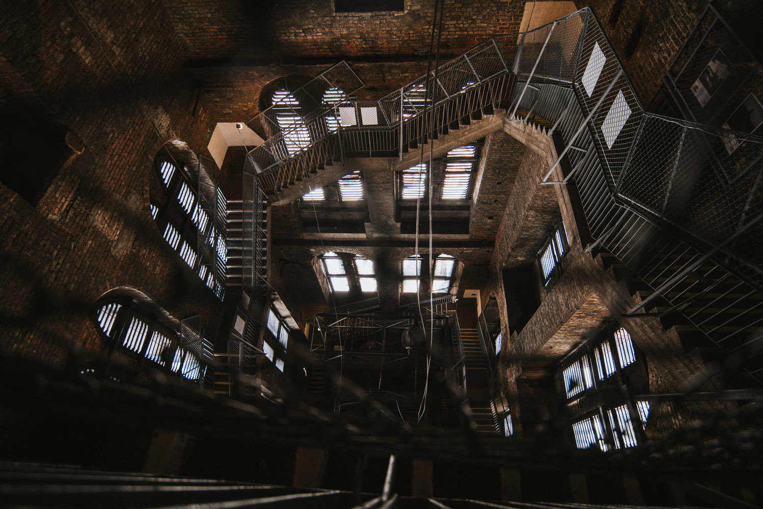
Upon that you enter the stairs in the bell tower itself.
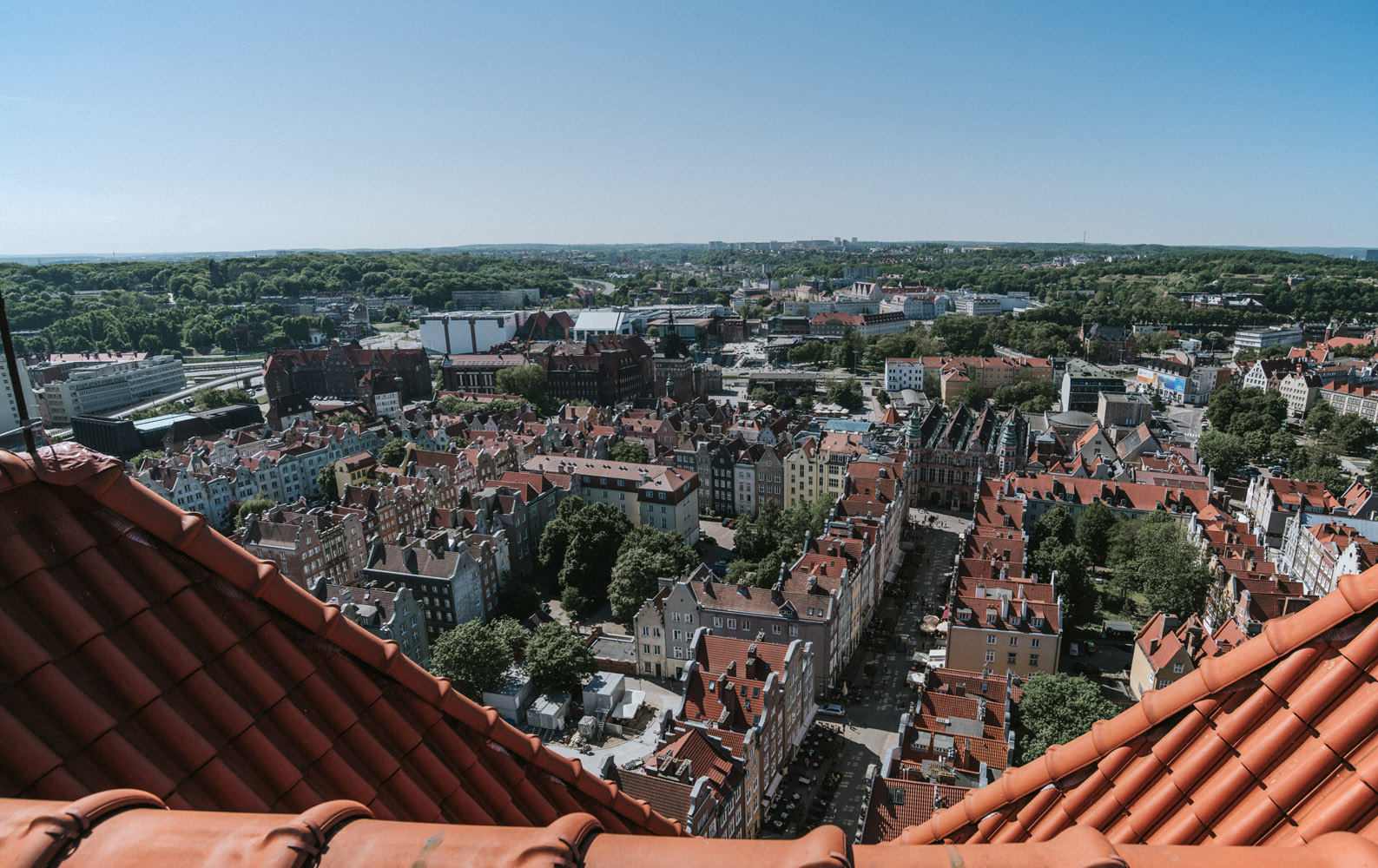
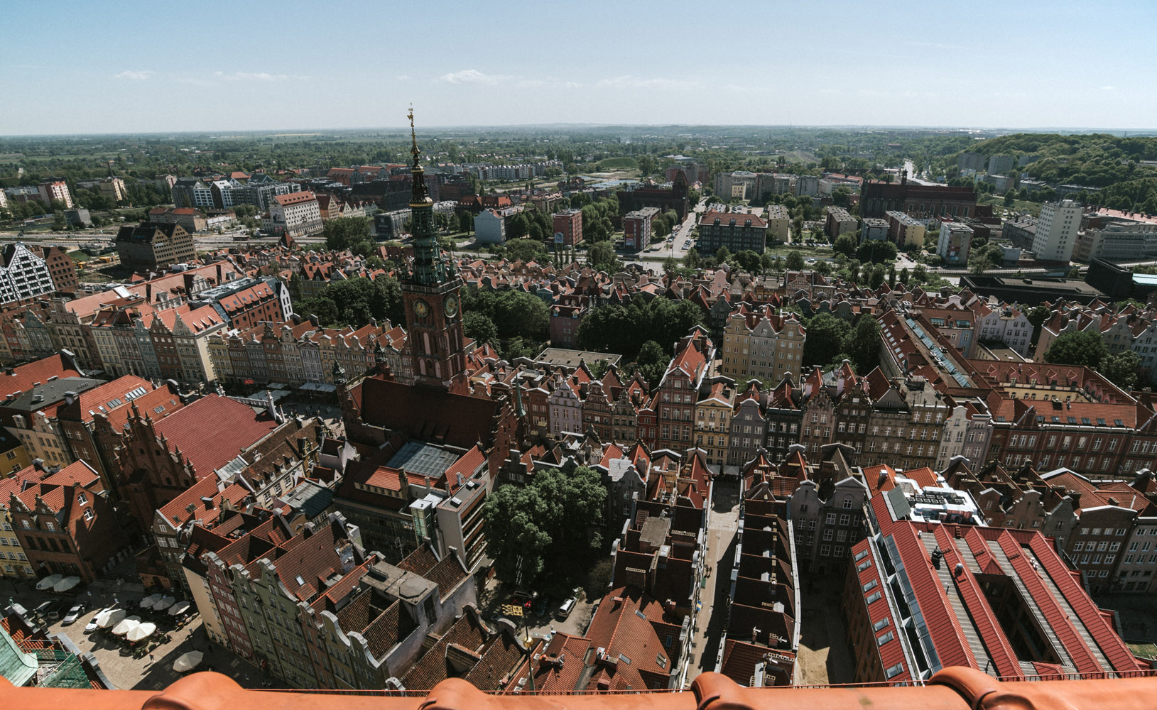
Southern view: the tower with a clock is the Main City Town Hall, located at Long Lane. At Long Lane you can see tenements called kamienica (plural kamienice).
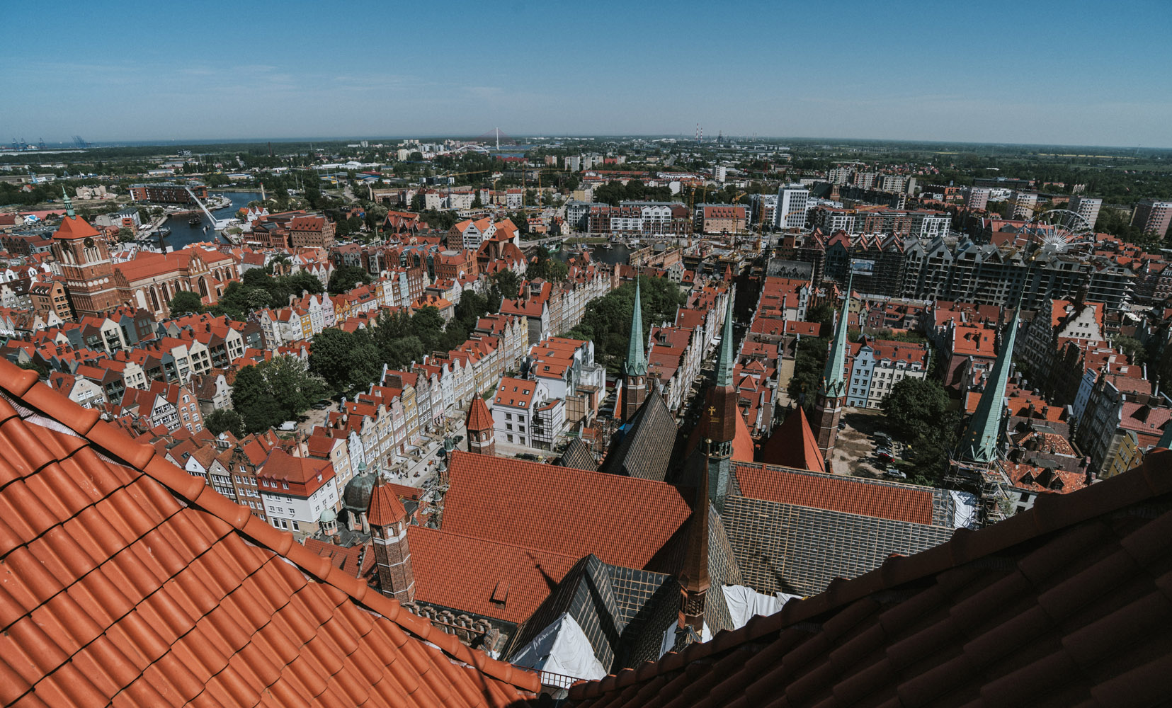
East view: you can see mainly the rear of St. Mary’s Basilica, Mariacka (St. Mary’s) street right behing it and Św. Ducha (Holy Spirit) street on the left. On the right you can see Granary Island (with that awful fairy wheel) with a lot of new hotels being build, although river Motława is flowing around it, you can see just it just in the far left side of the picture. Also on the far left you can see St. John’s Church.
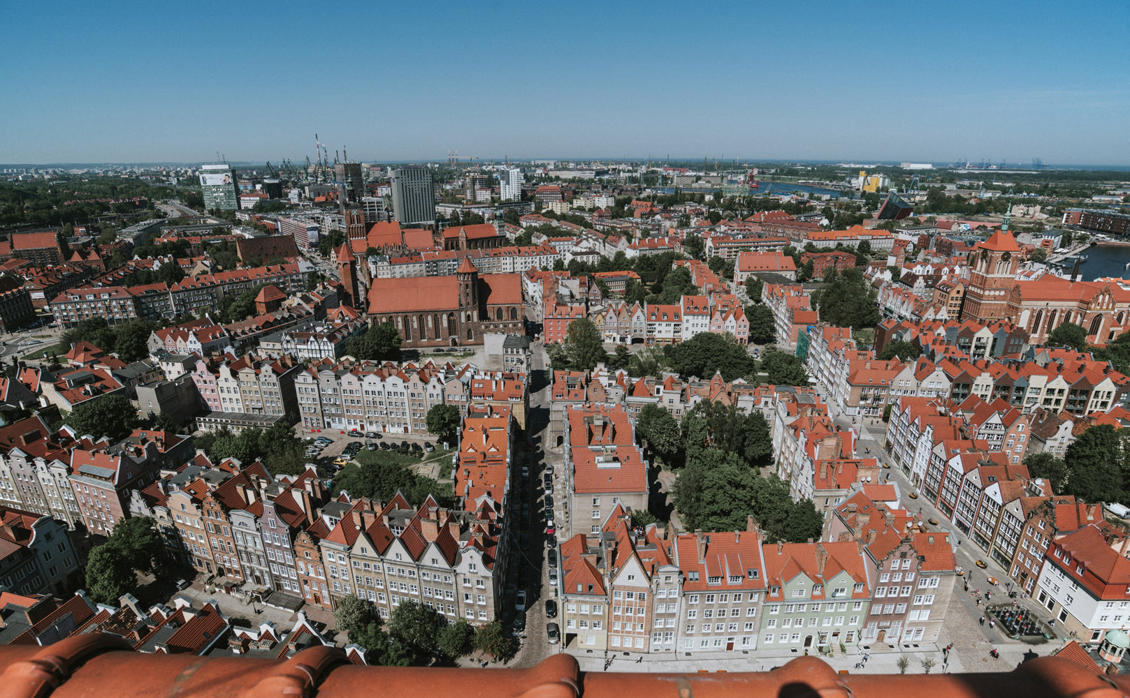
Finally north view: the closest buildings are kamienice at Św. Ducha street and almost in the central of the picture – St. Nicholas’ Church. Behind St. Nicholas’ Church (and a row of kamienice) you can see St. Catherine’s Church. In the distance you can see cranes of the Gdańsk Shipyard. The water on the right side of the picture is Motława river.
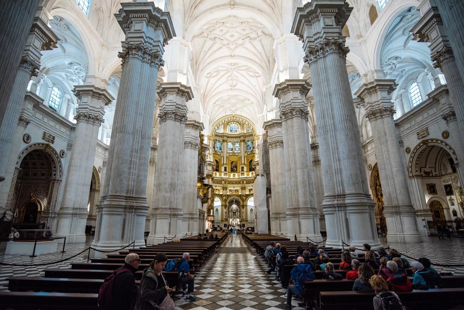
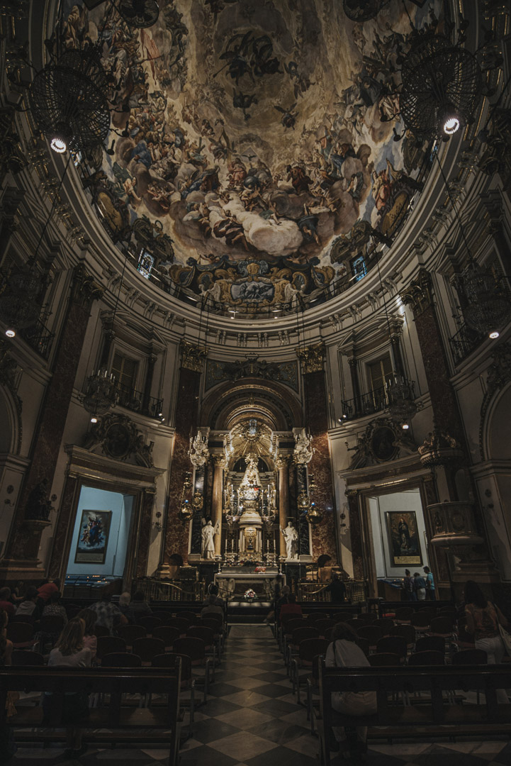
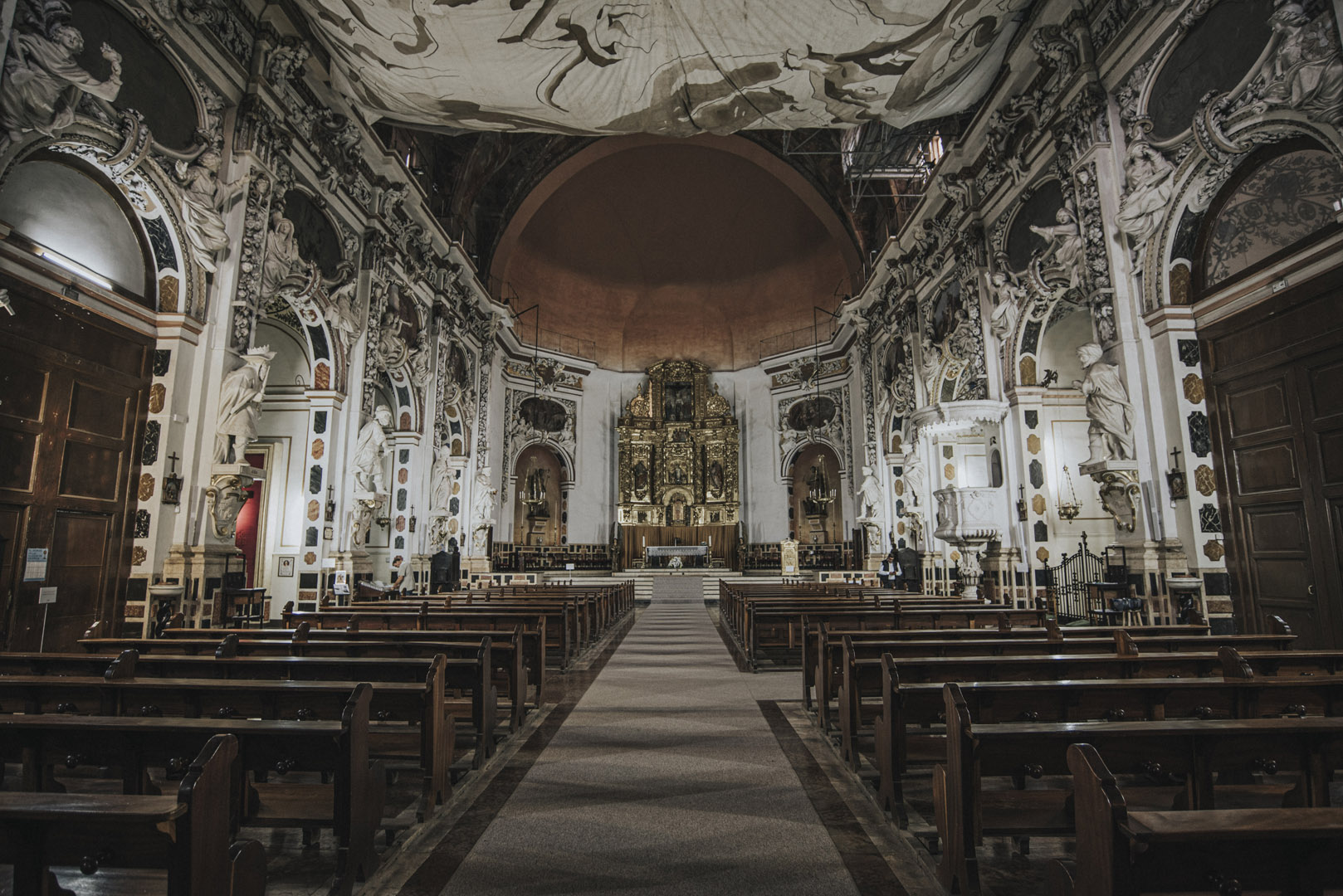
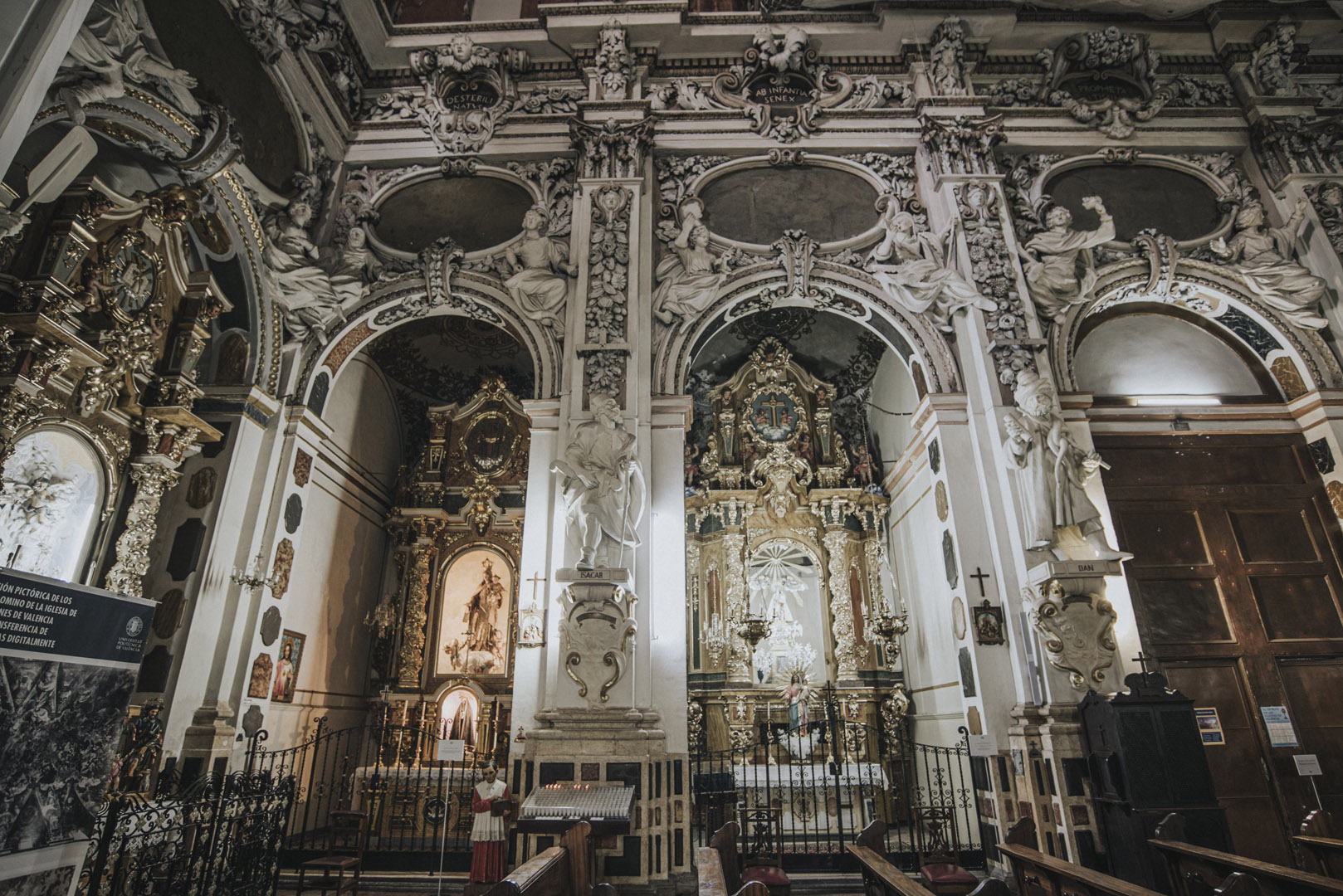
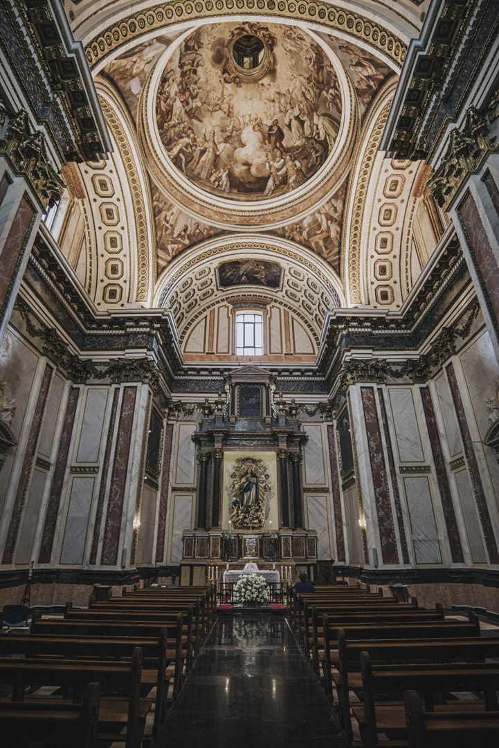
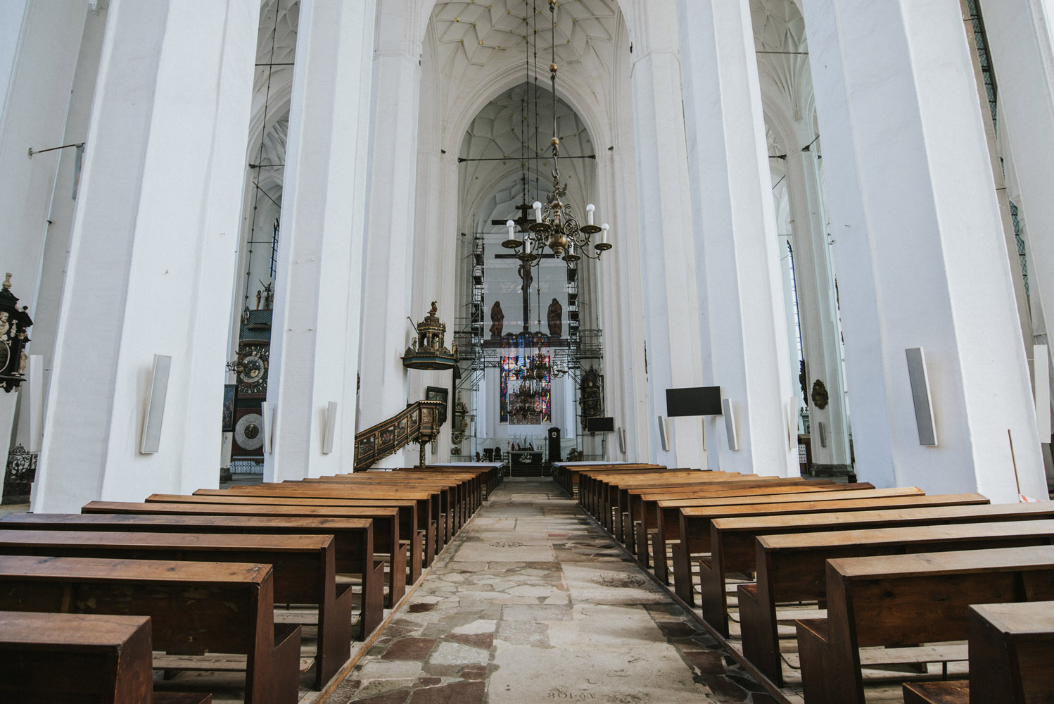
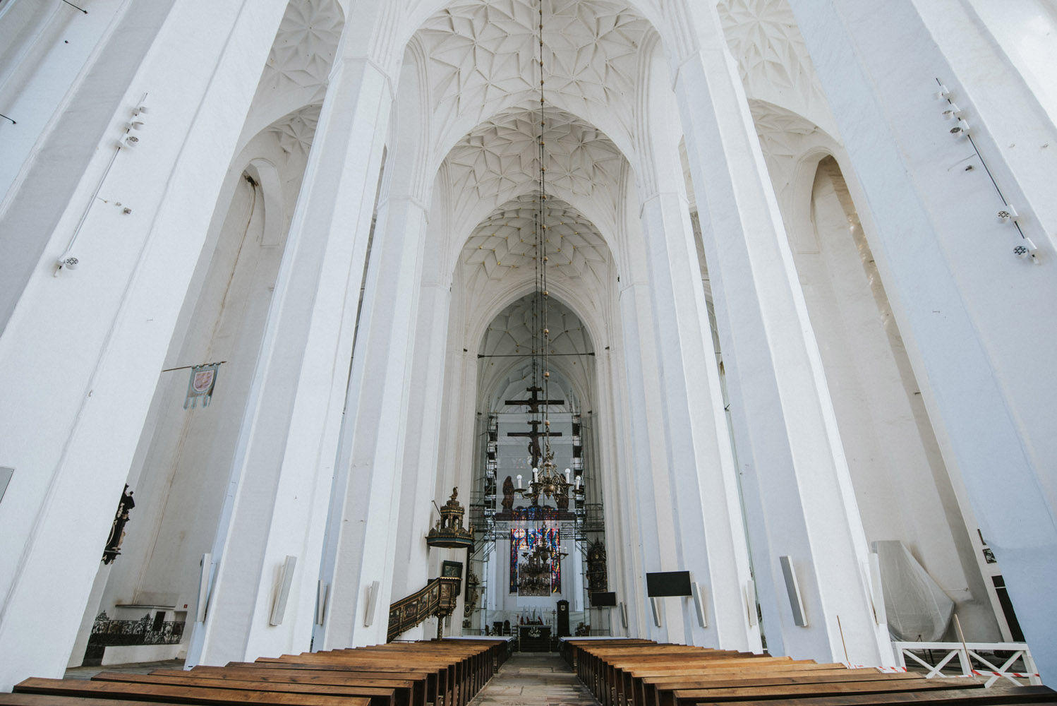
The inside of the St. Mary’s Basilica.
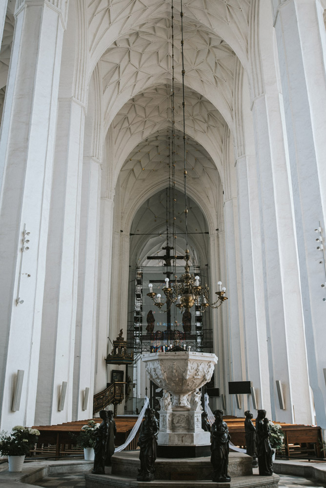
Babtismal font.
View of the nave from the babtismal font.
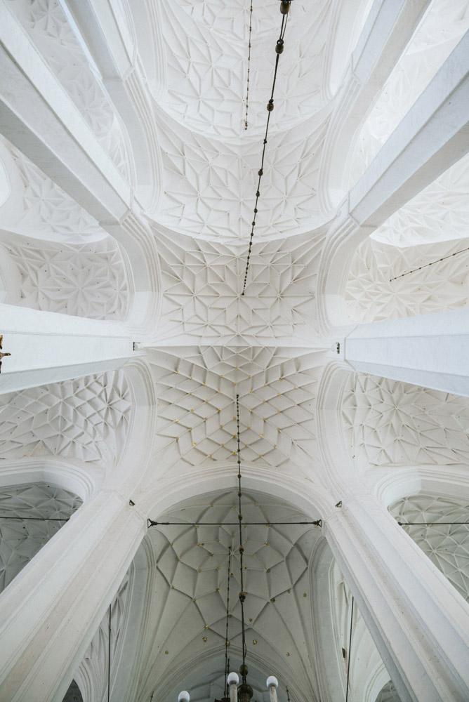
Note the star vault.
View of modern reconstruction of organs destroyed in 1945. At the bottom you can also see babtismal font.
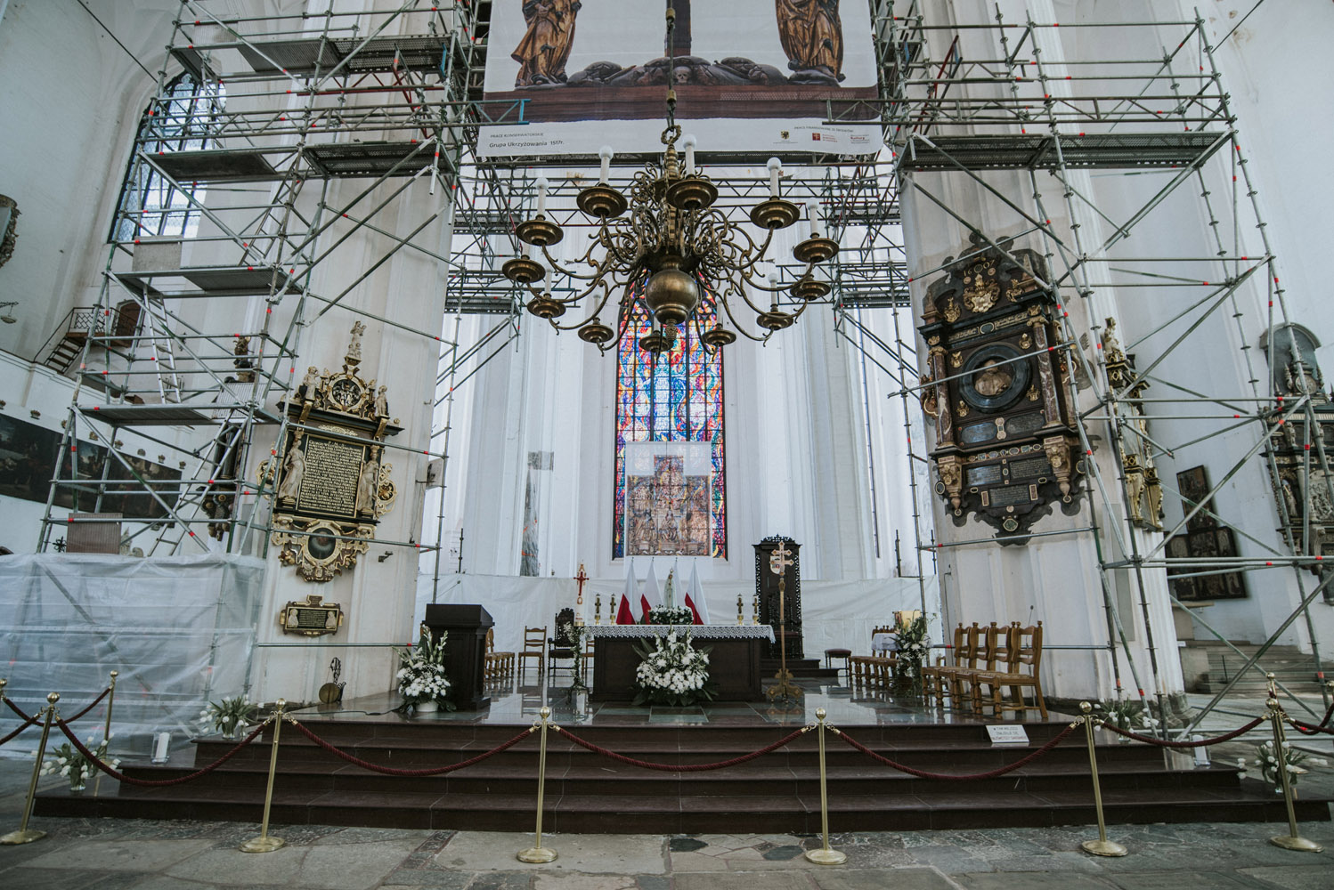
View at the altar. Unfortunately there is renovation going on from 2017 through 2018, hence the scaffolding.
 Travels