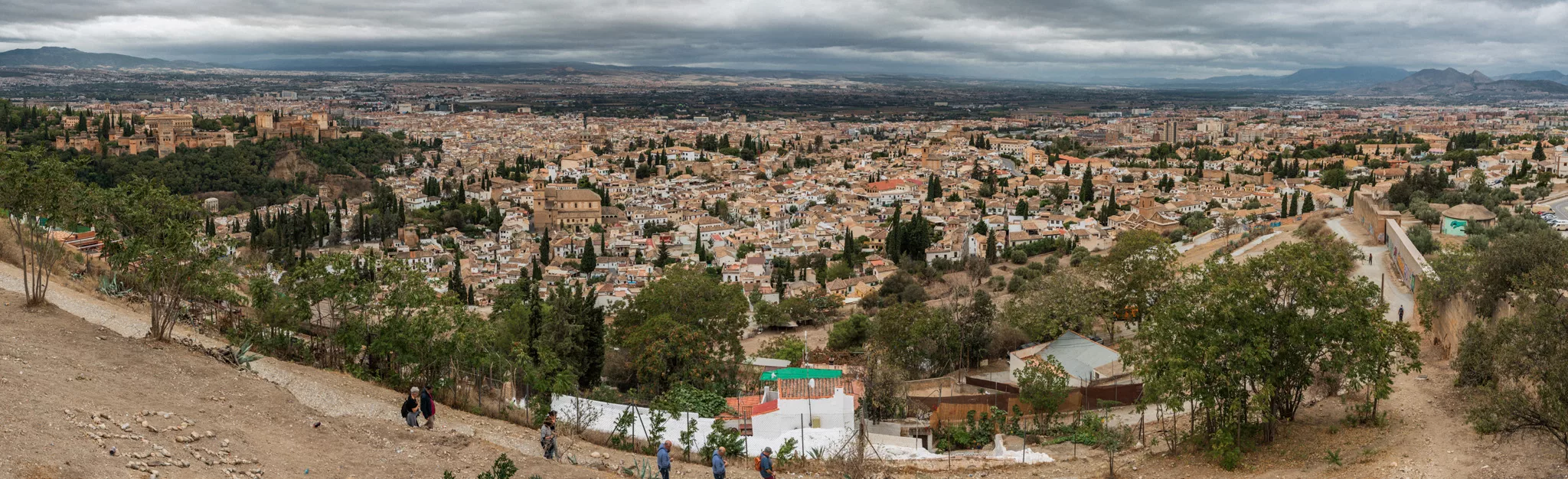
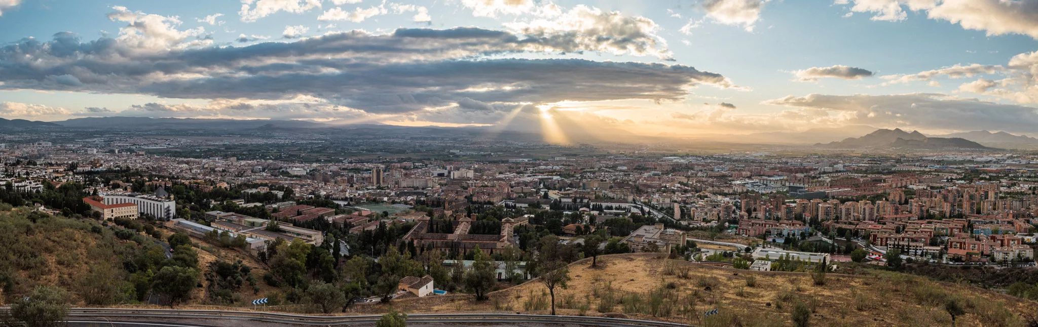
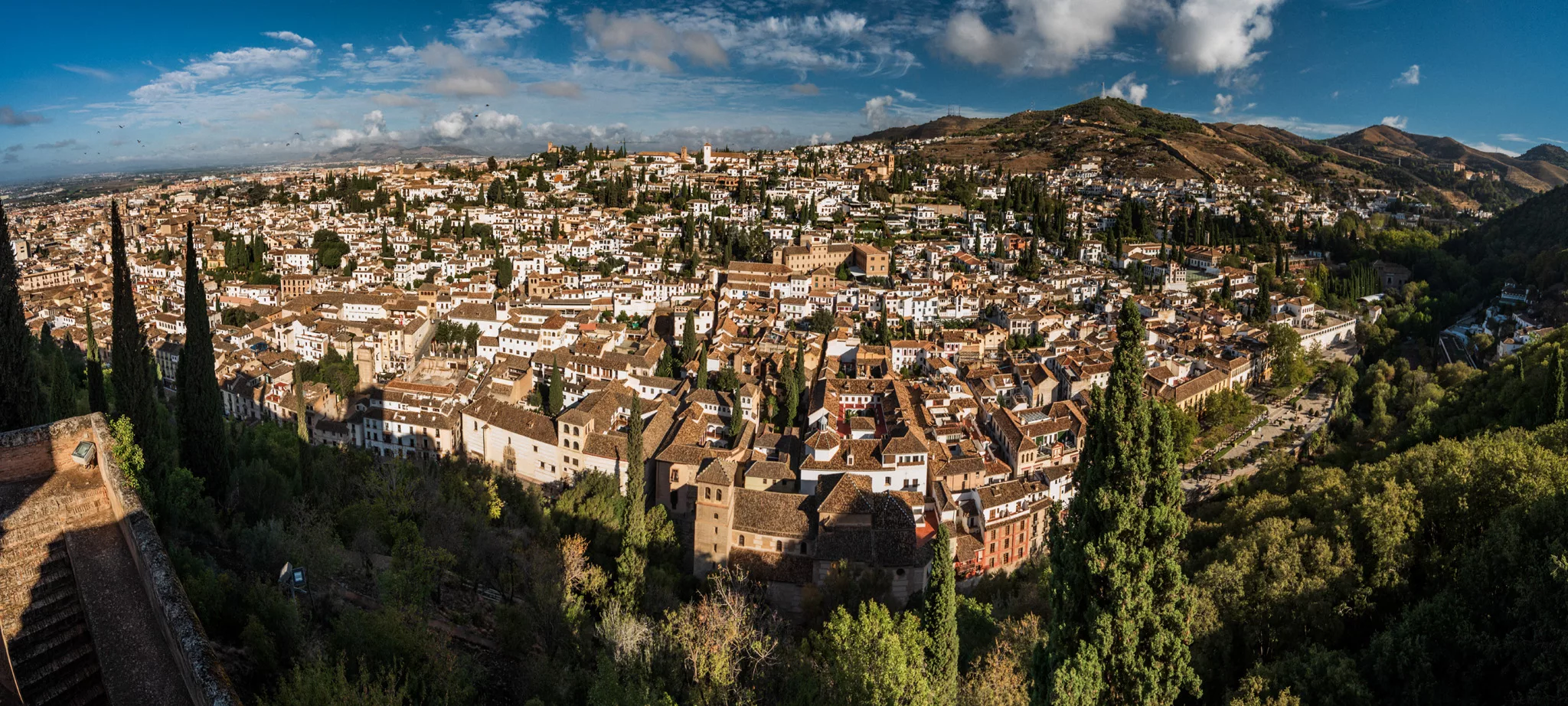
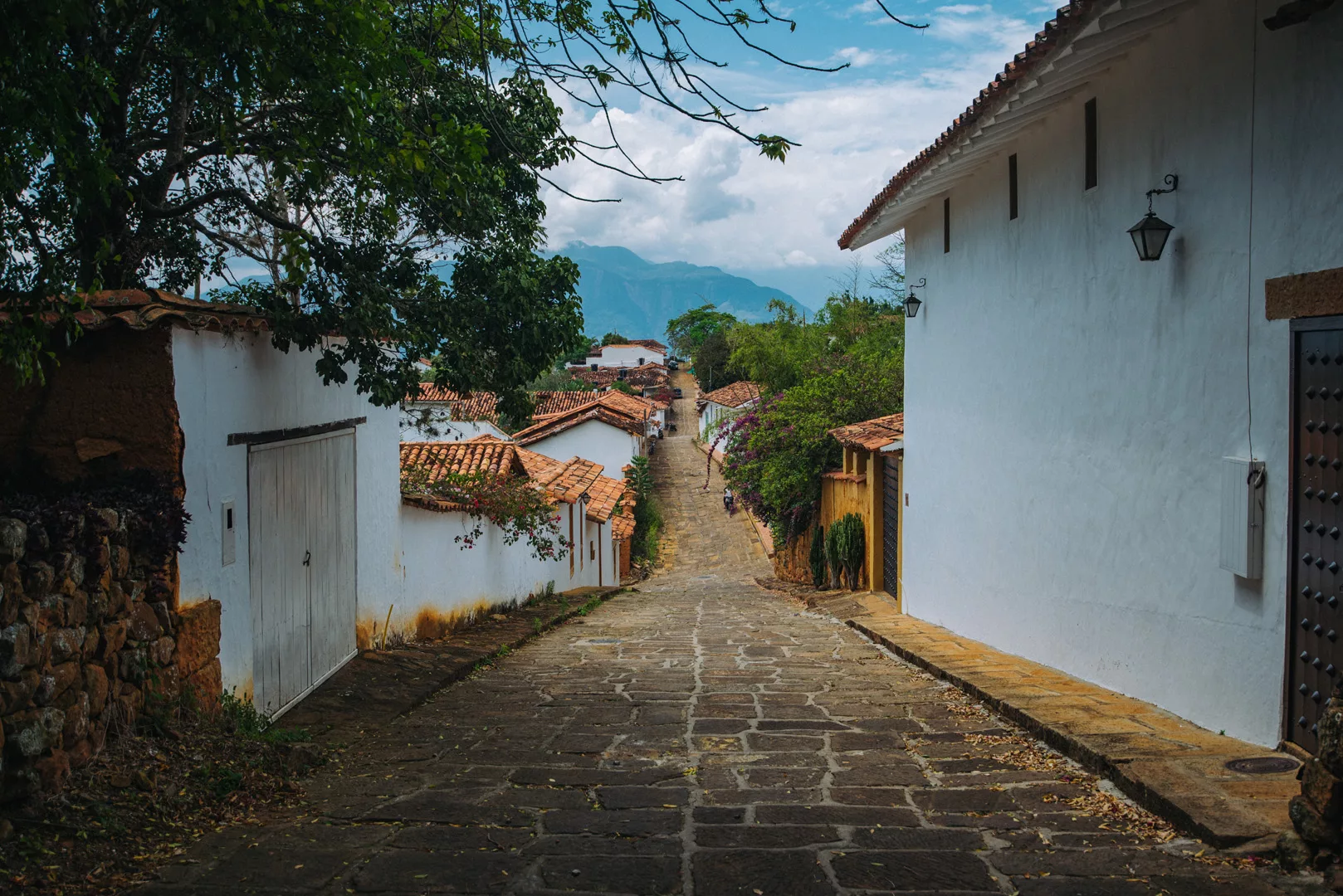
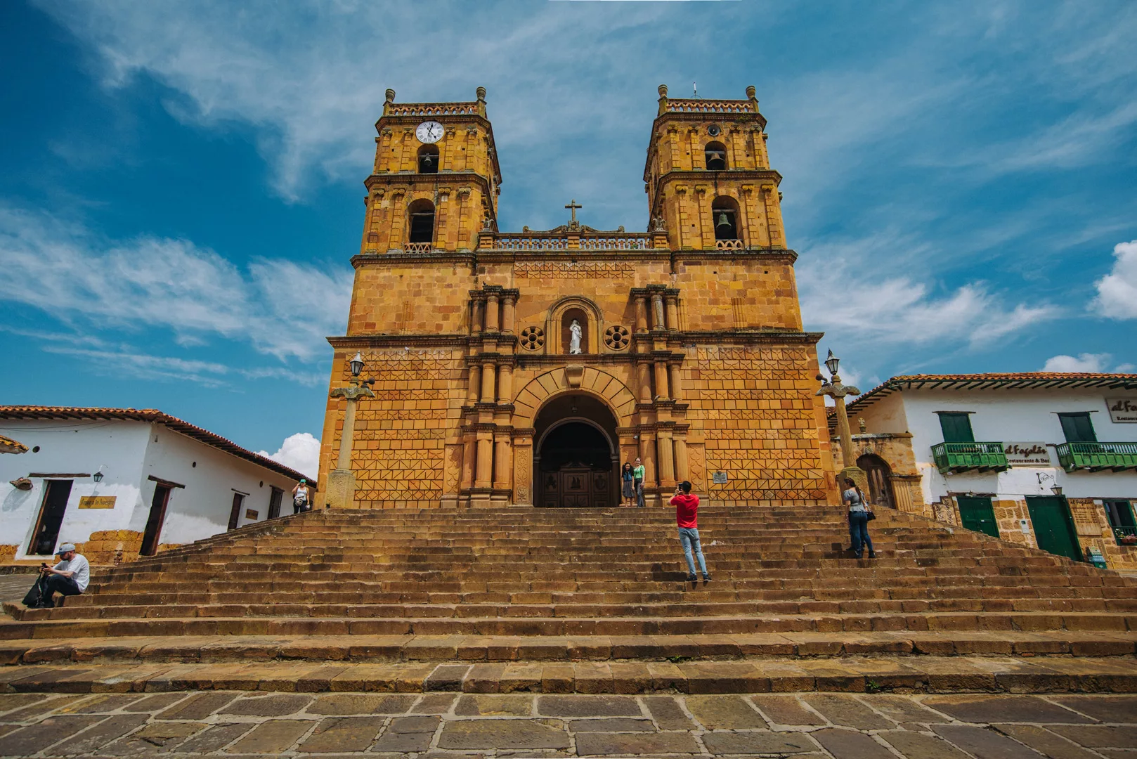
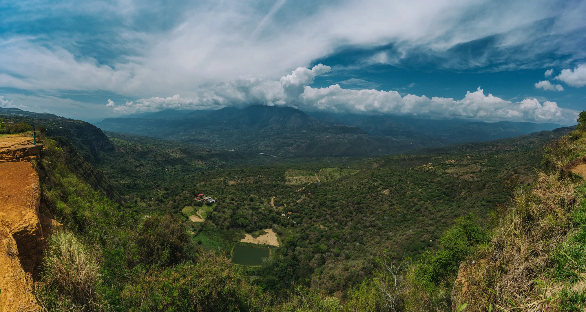
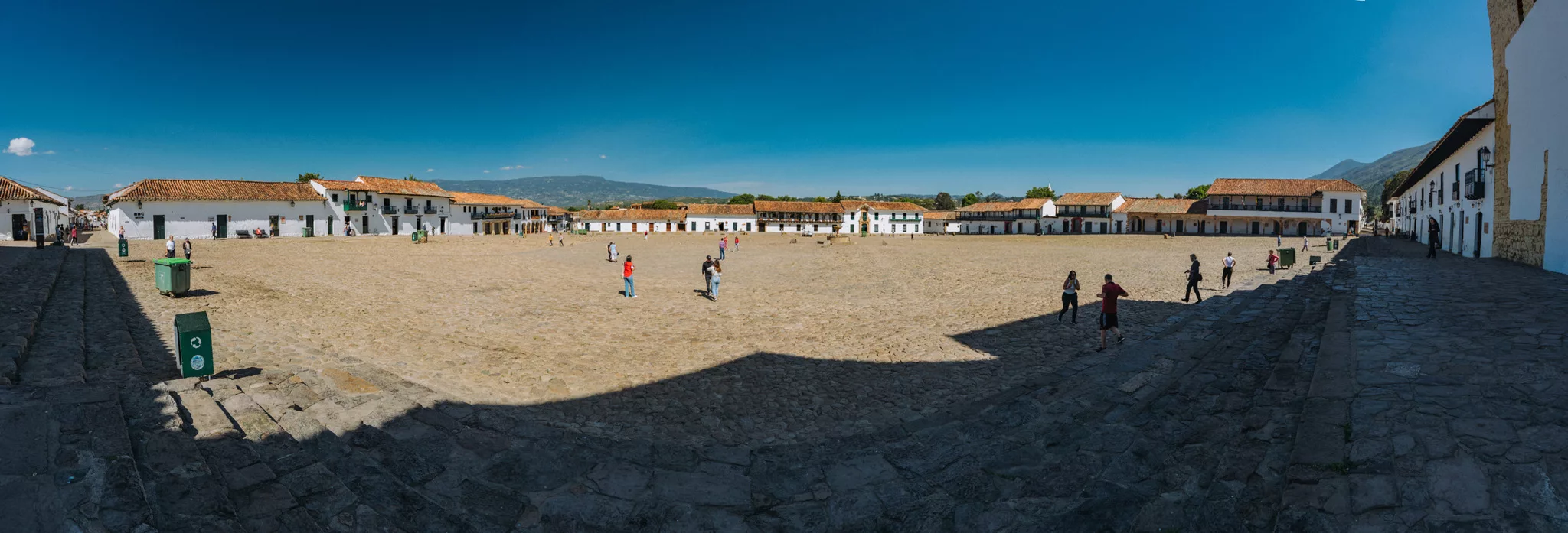
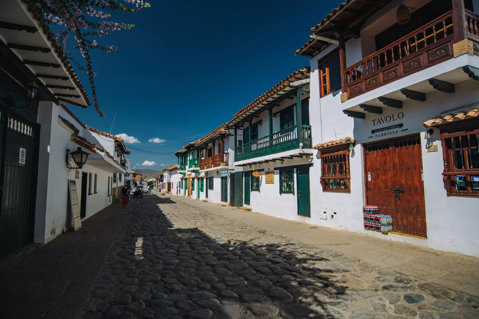
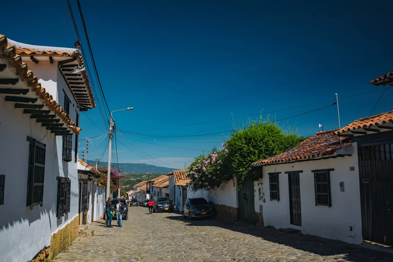
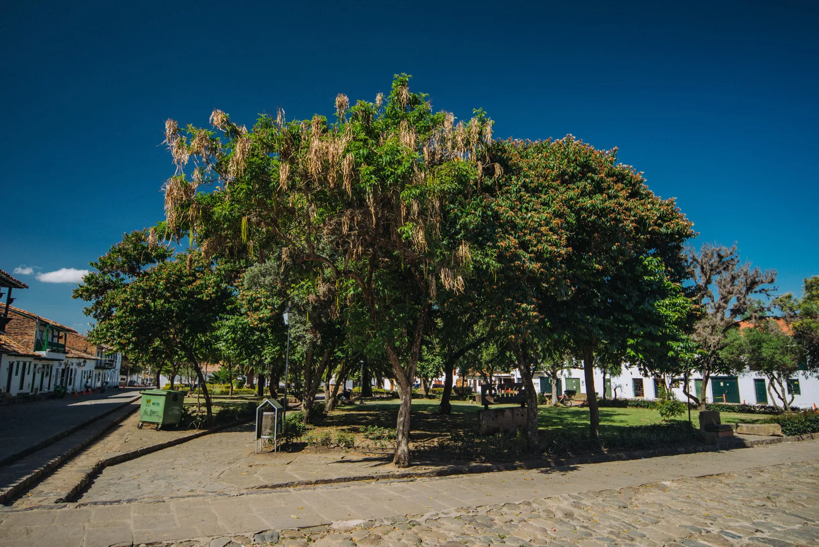
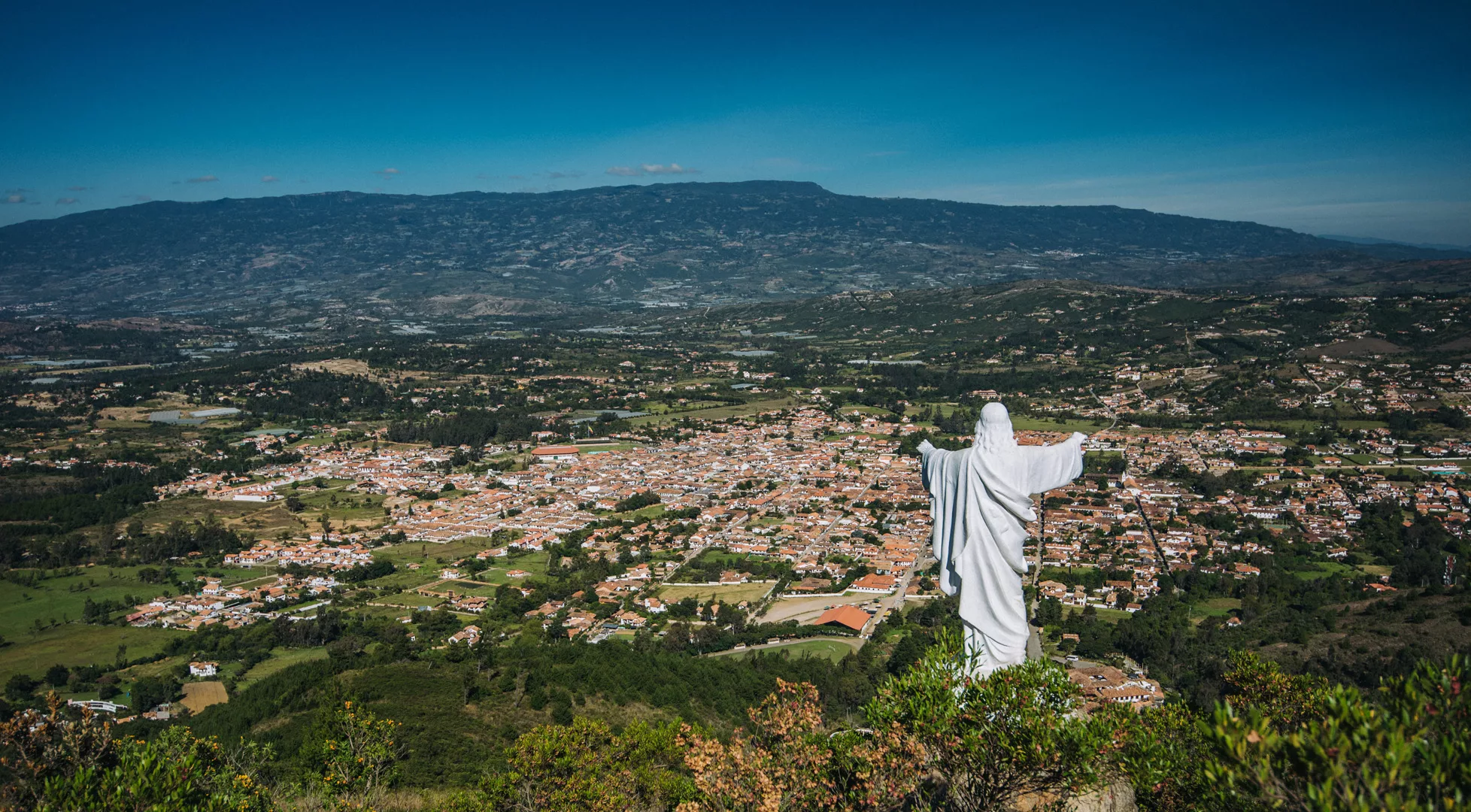
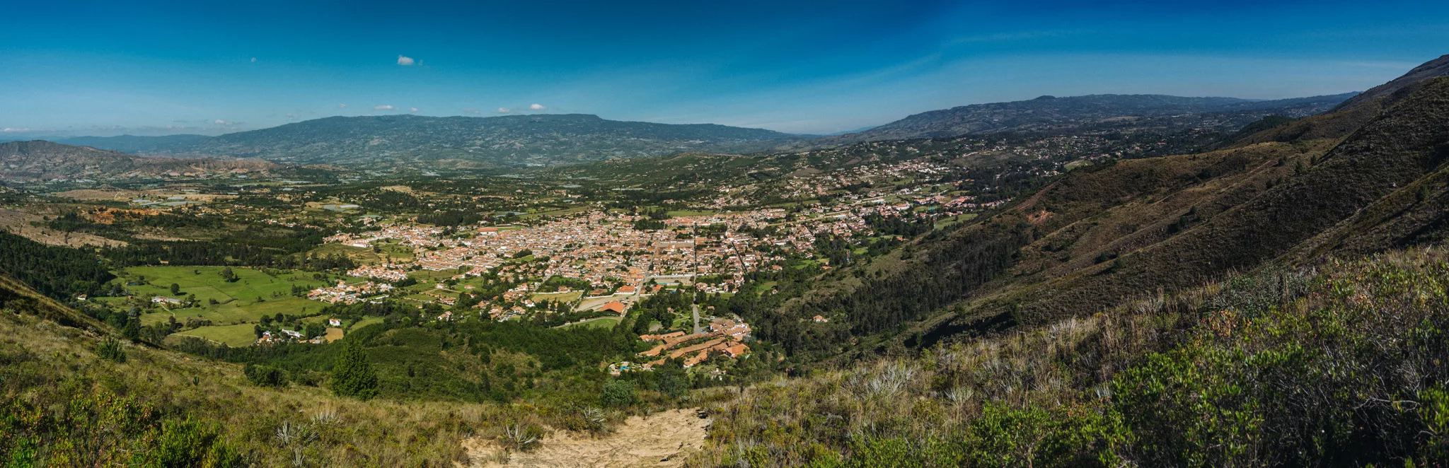
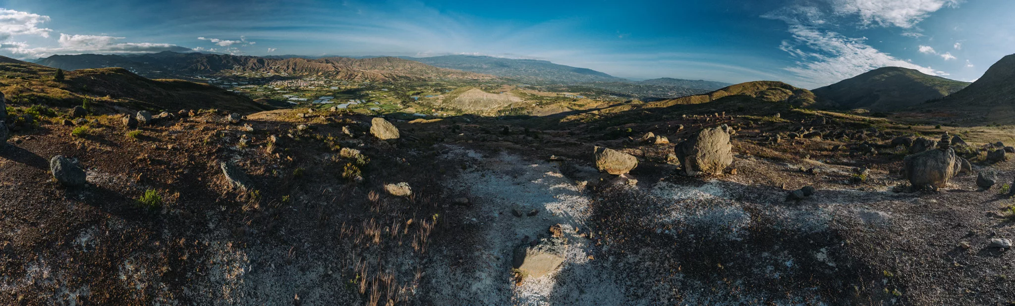
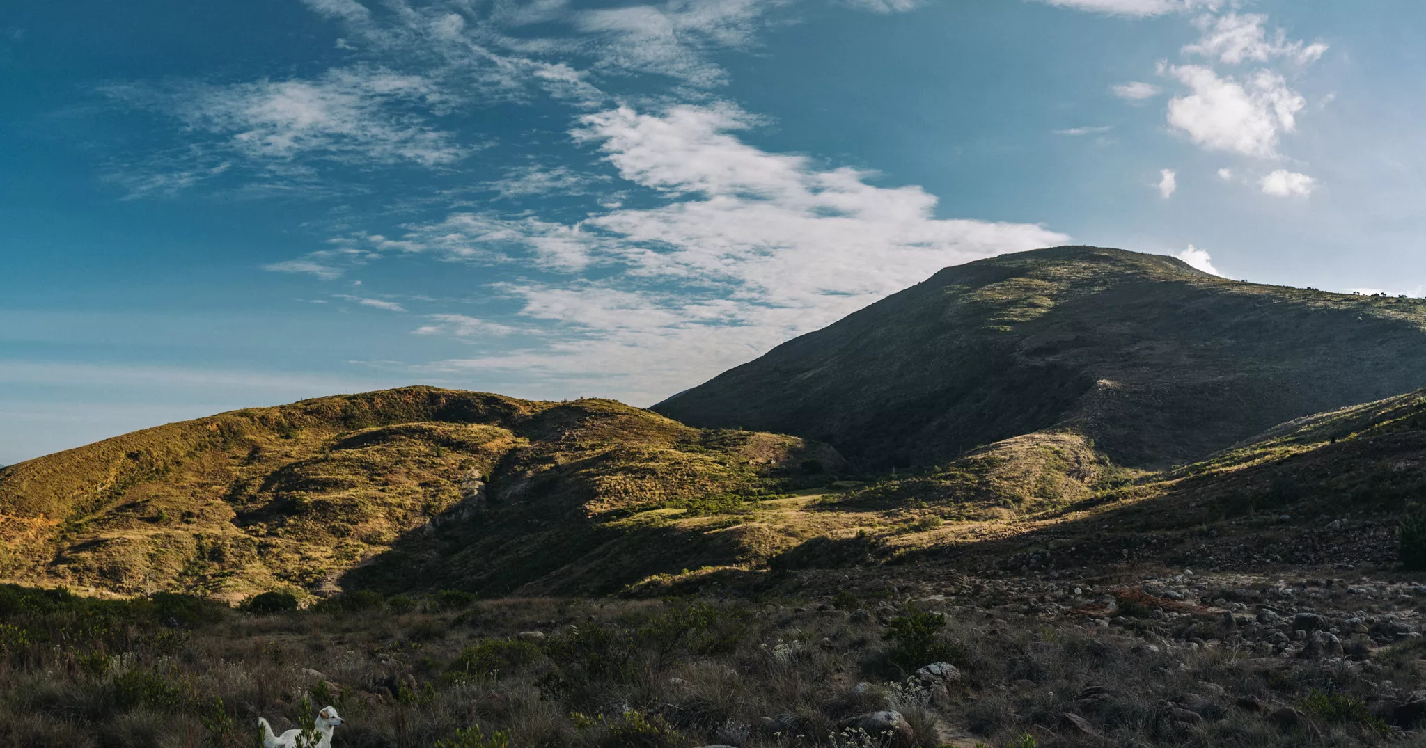
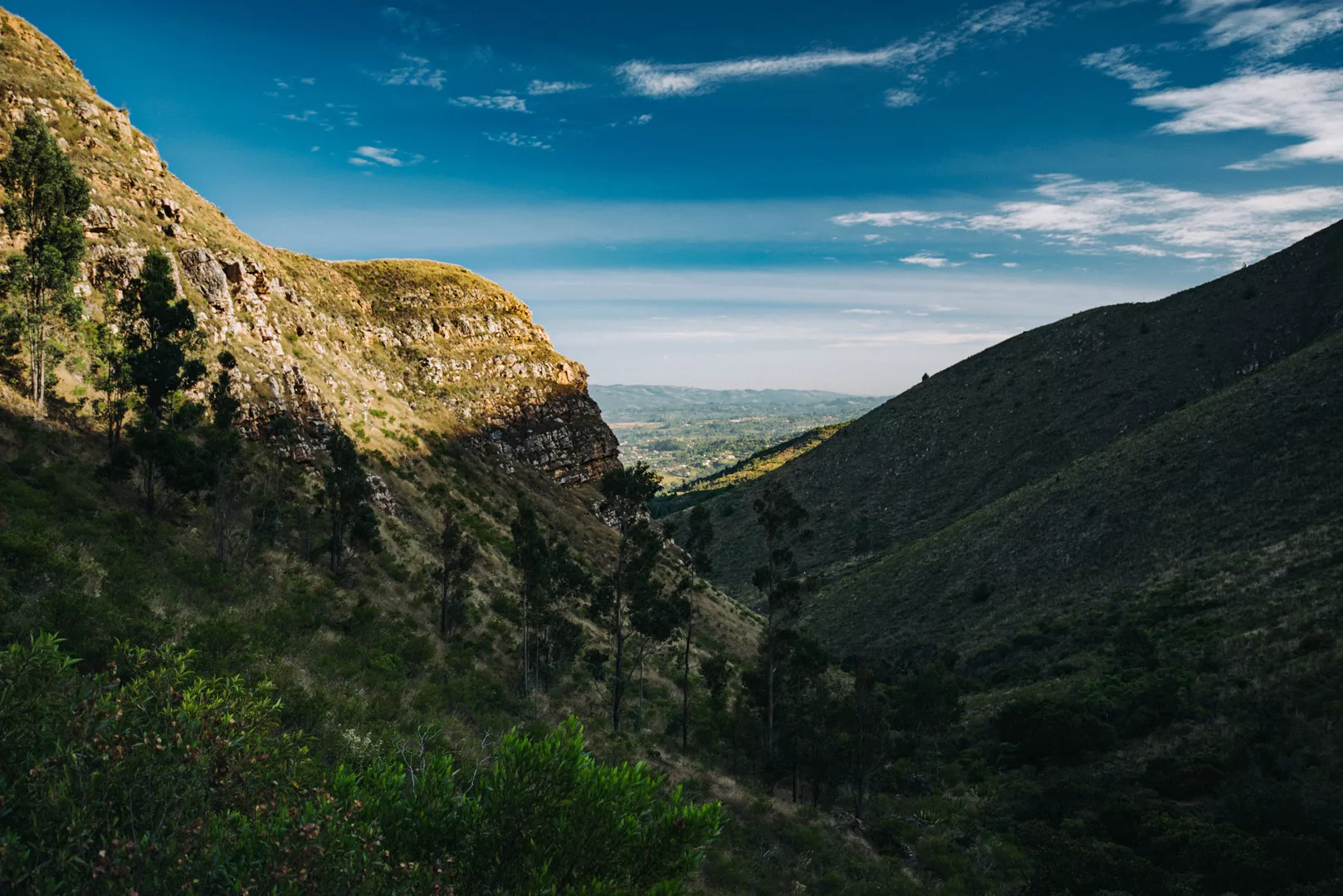
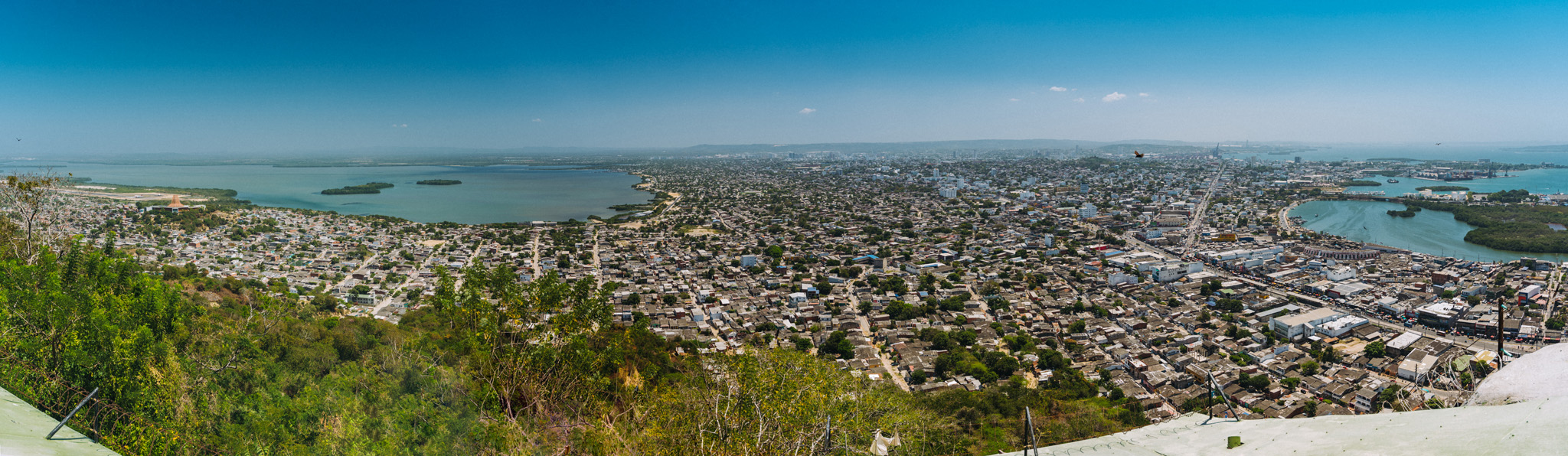
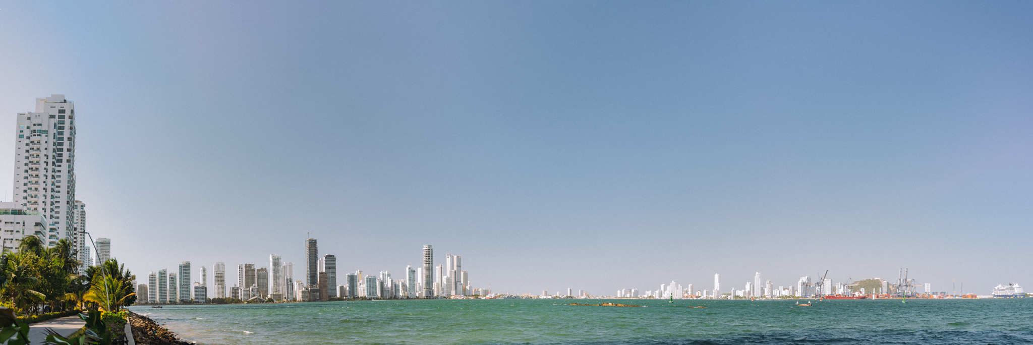
 Landscape
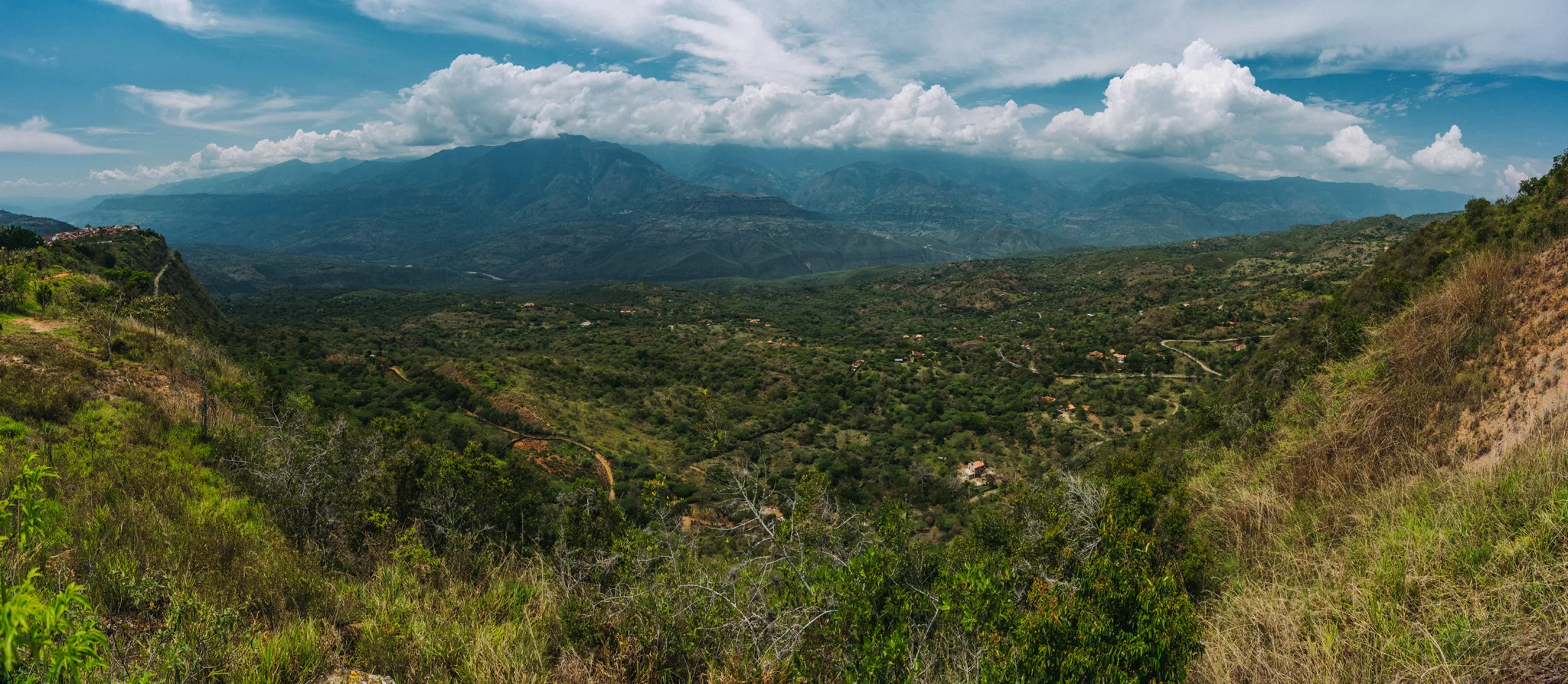
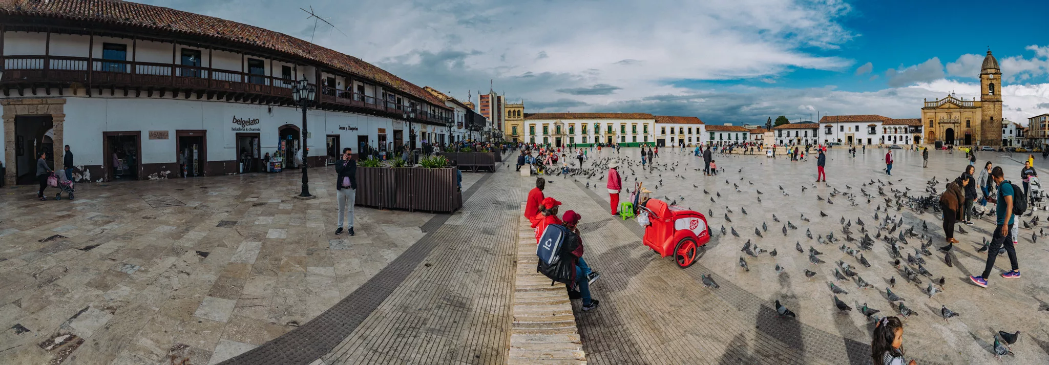
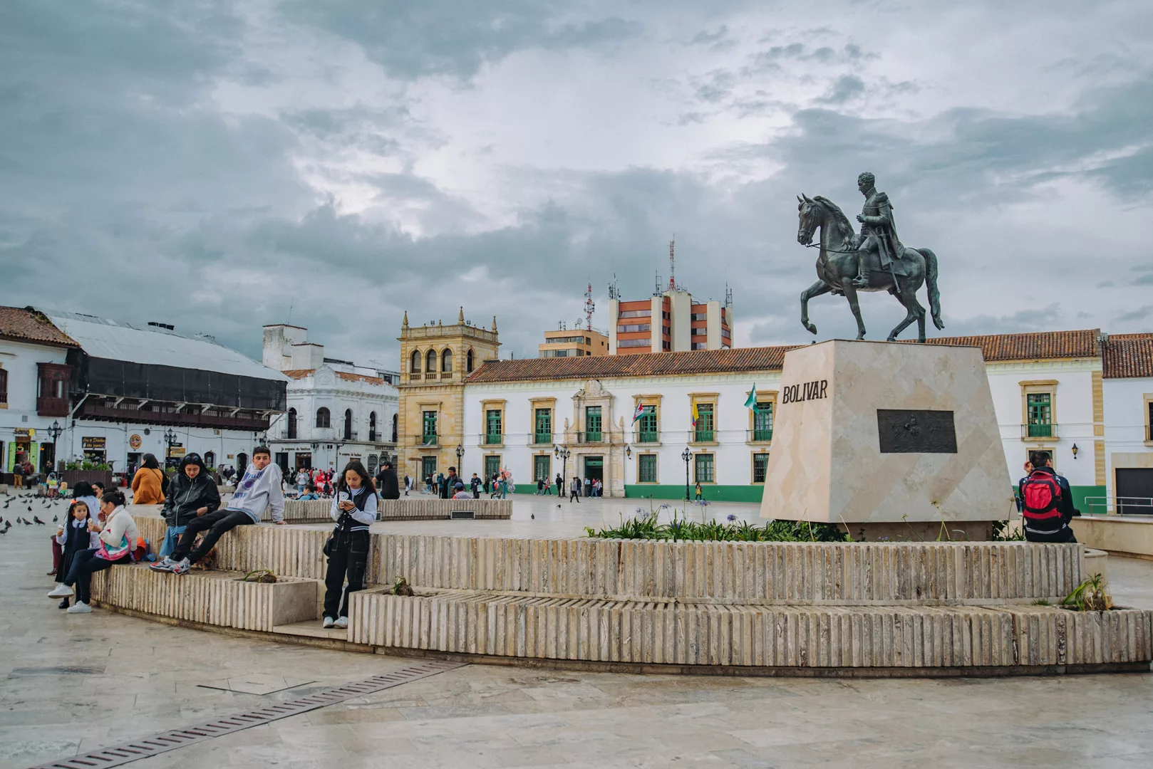
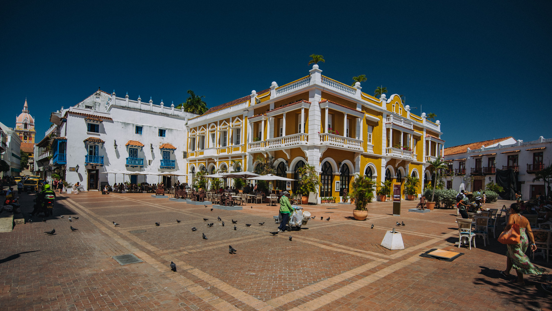
Ronda
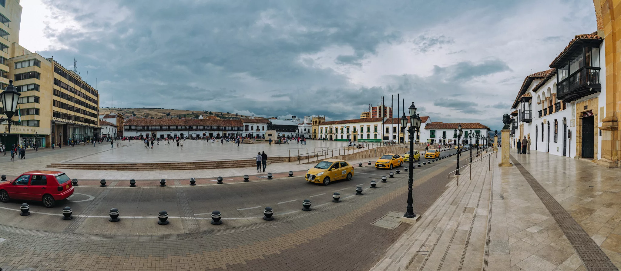
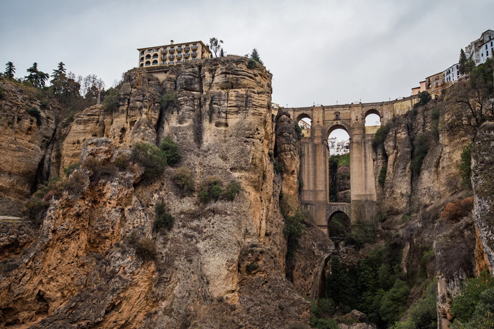
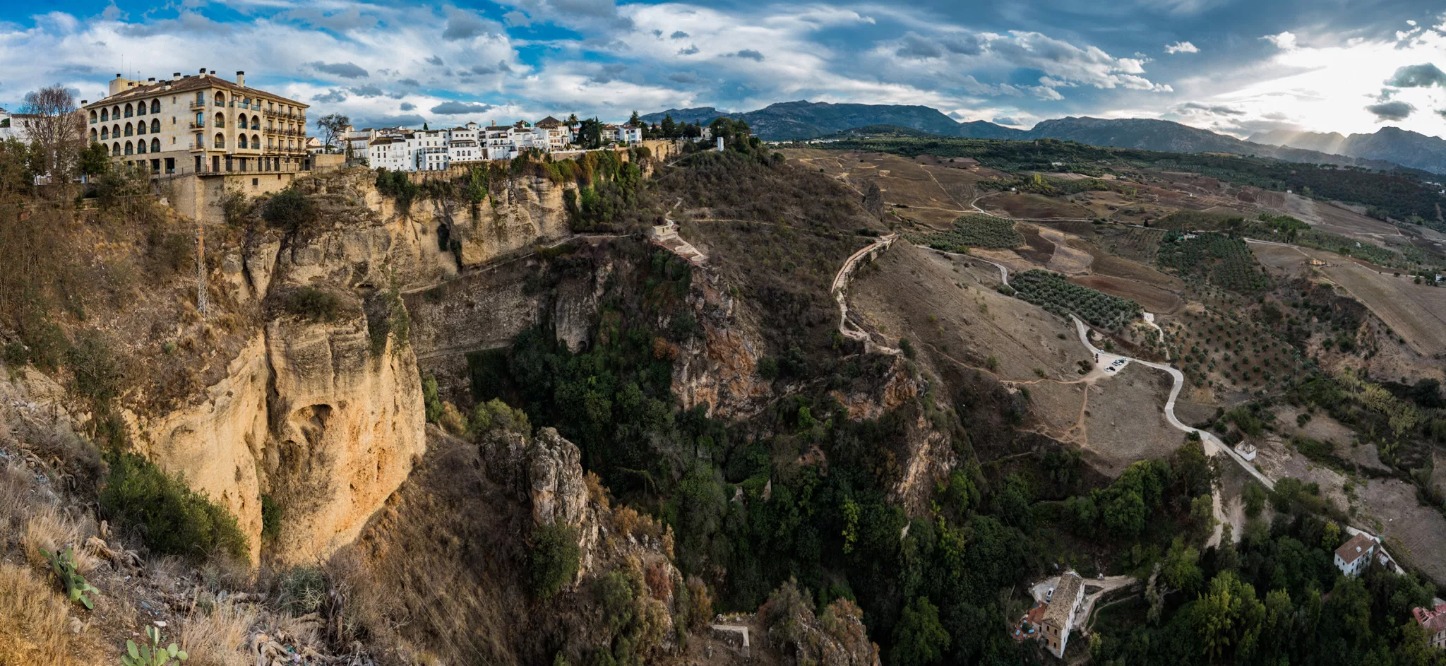
Ronda (36°44’38″ N 5°09’49″ W) is a city in Andalucia, that lies at a steep cliff with a canyon in the middle of a city with two bridges spanning across the canyon.
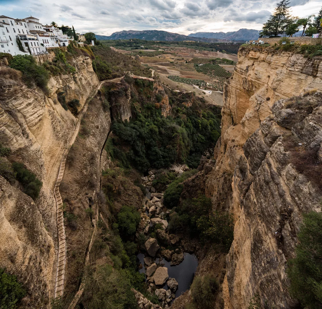
Cliff of Ronda and the new bridge connecting two parts of the city seen from a viewpoint (36°44’22″ N 5°10’06″ W).
New bridge.
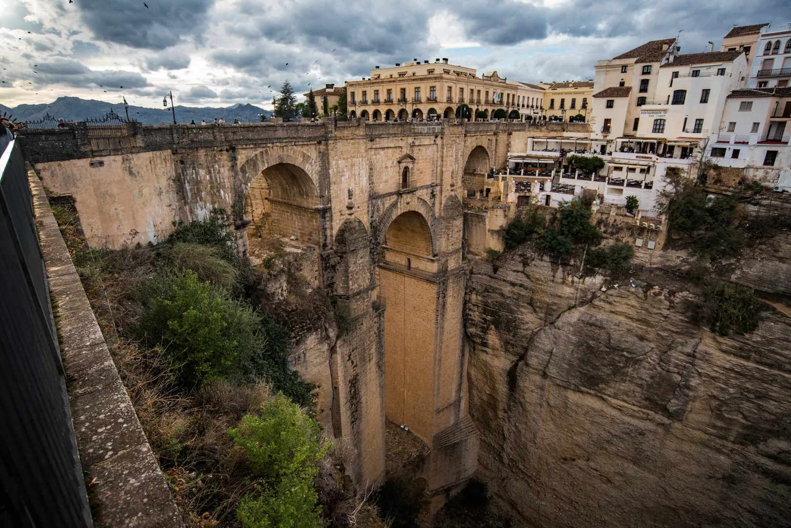
Canyon seen from the new bridge.
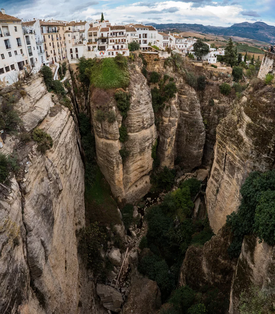
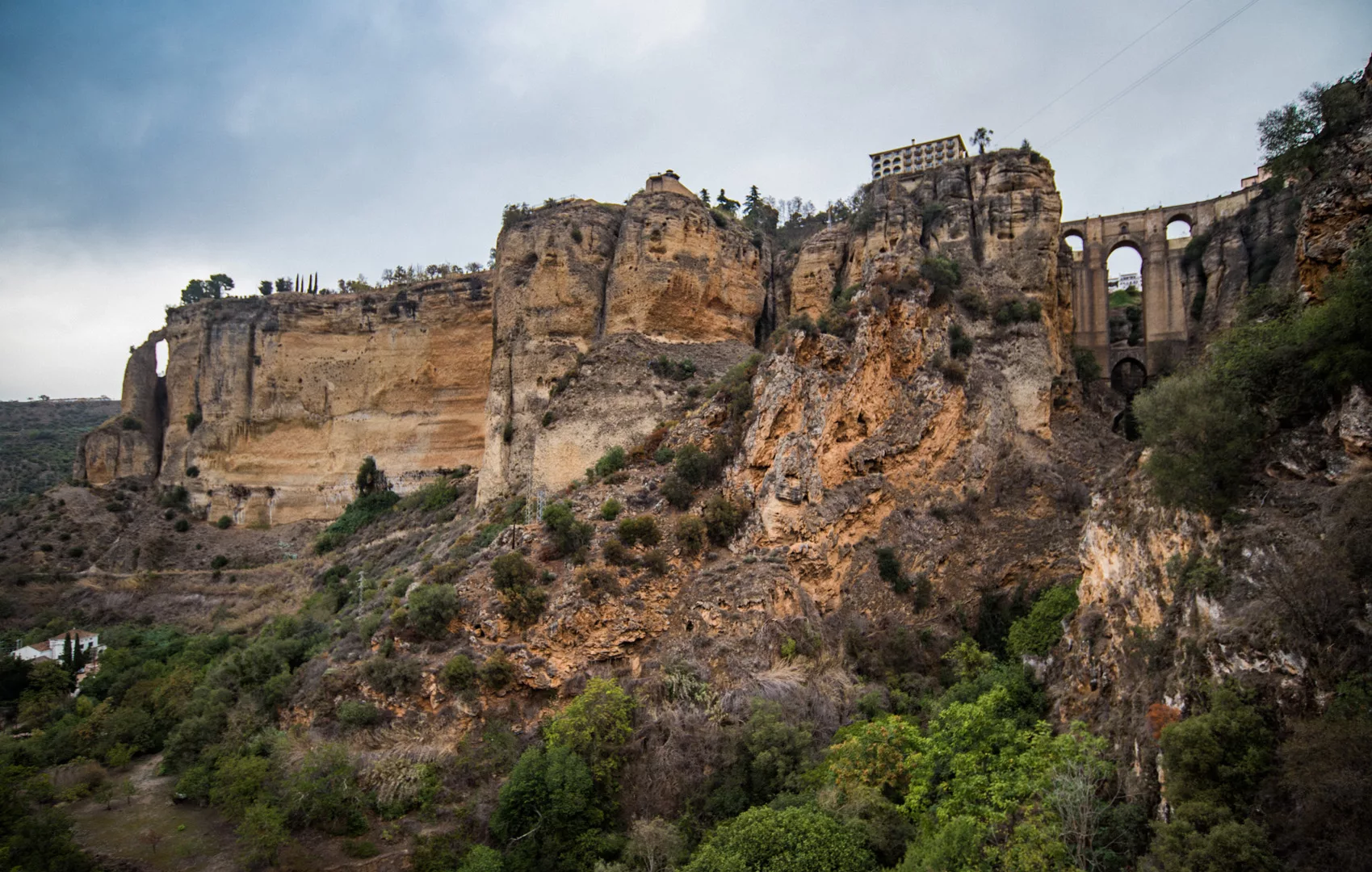
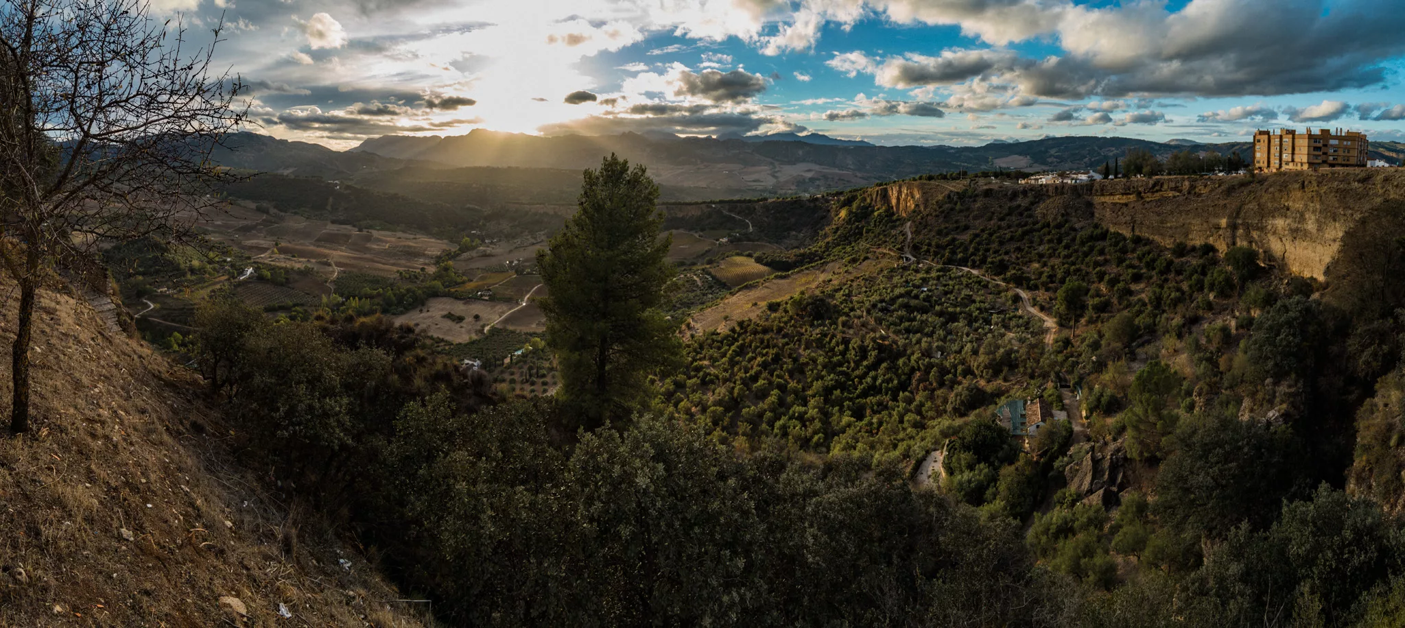
Cliff seen across the canyon, view on north.

View on western side of Ronda.
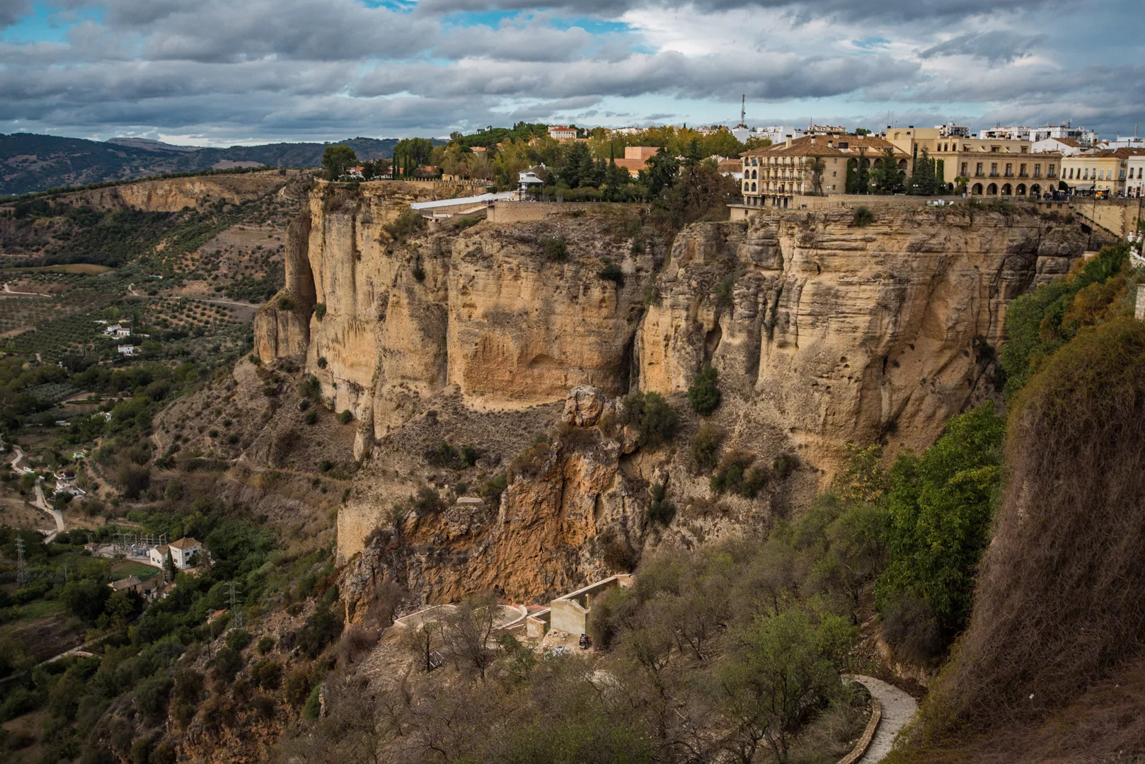
View from Mirador de Ronda (36°44’28″ N 5°10’05″ W).
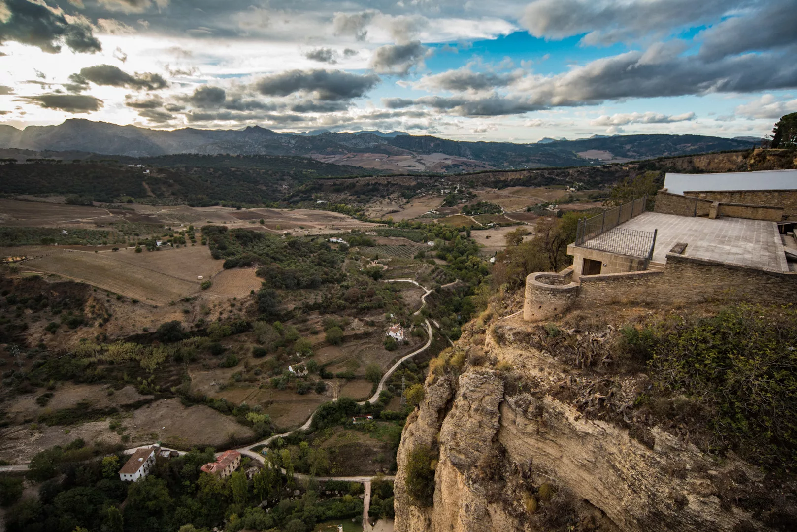
View from Mirador Virgen Del Rocío (36°44’55″ N 5°10’10″ W) to the south, on western side of Ronda.
And to the west.
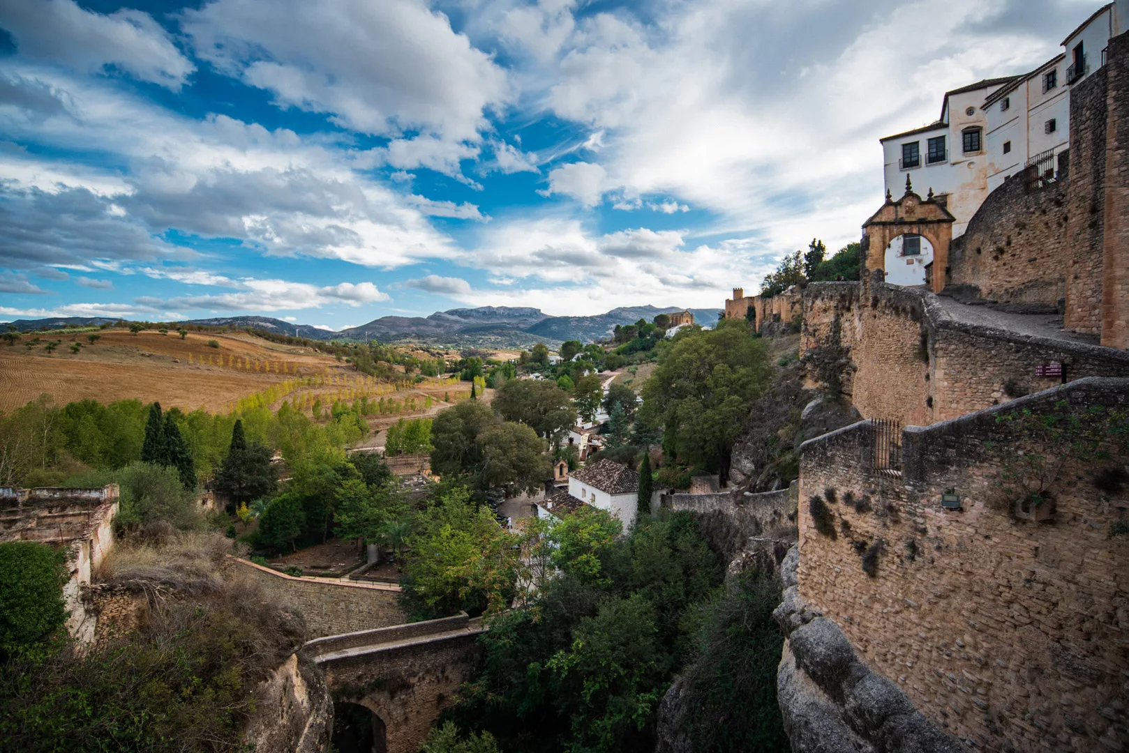
View from the old bridge (36°44’23″ N 5°09’48″ W) to the south, across eastern side of Ronda.
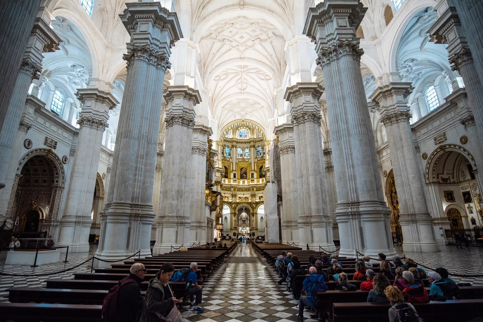
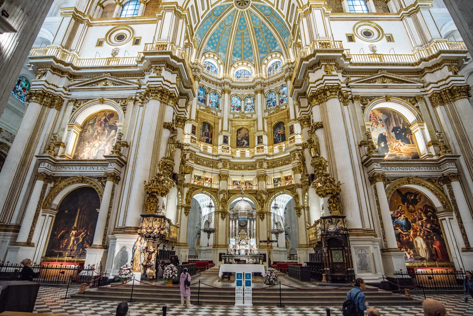
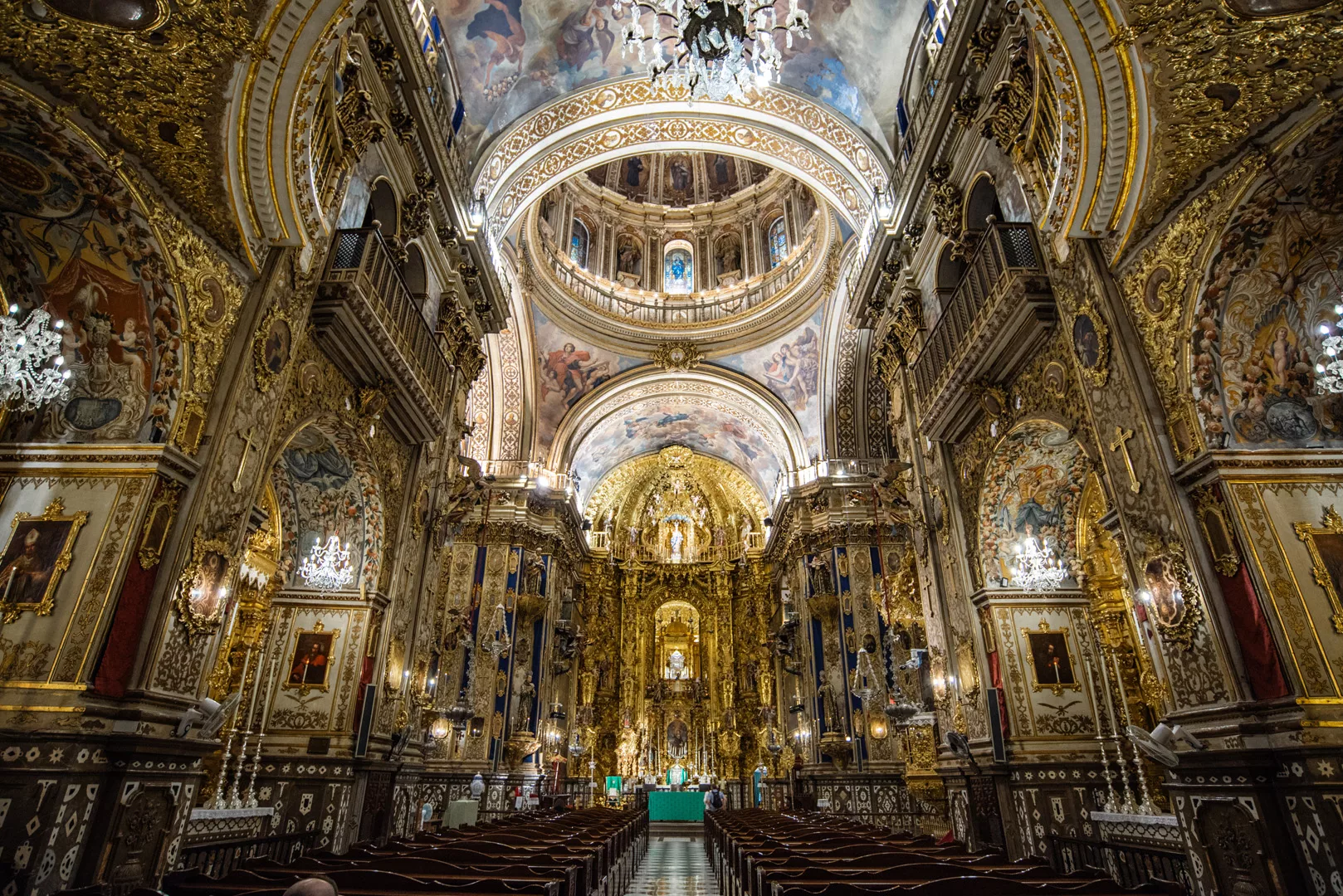
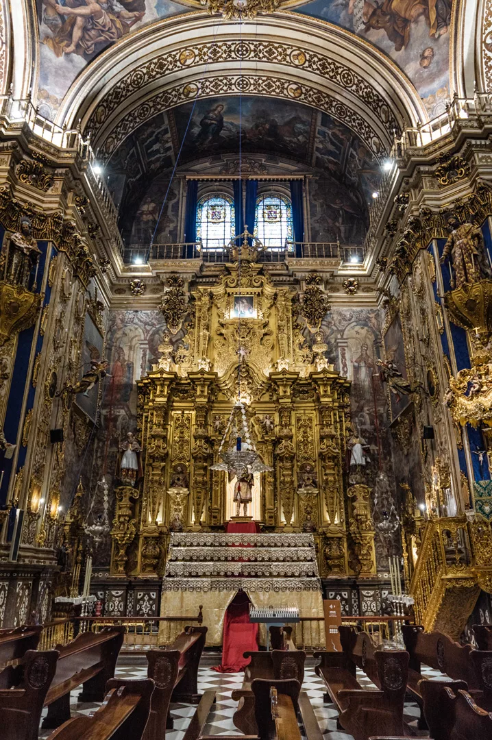
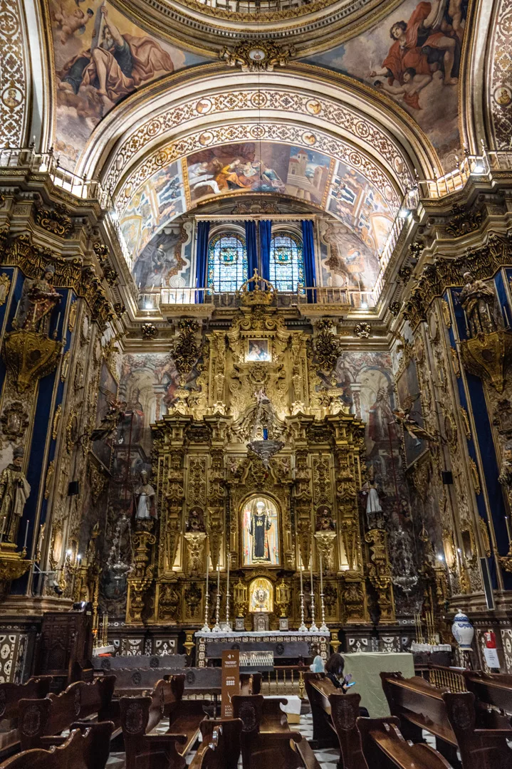
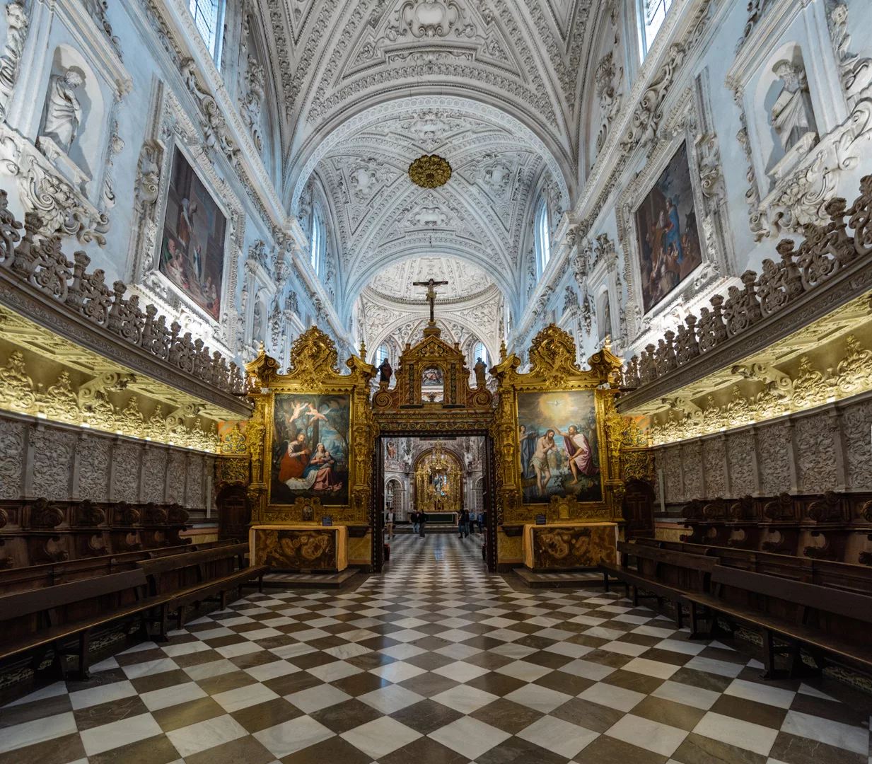
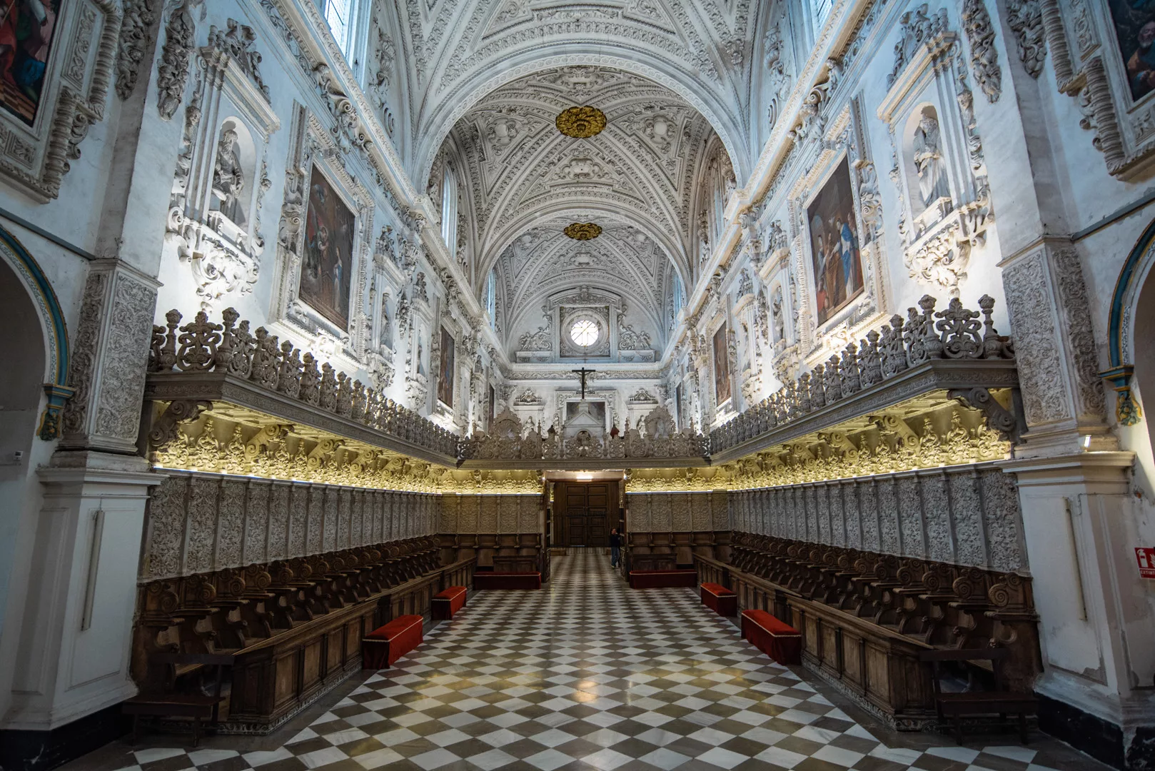
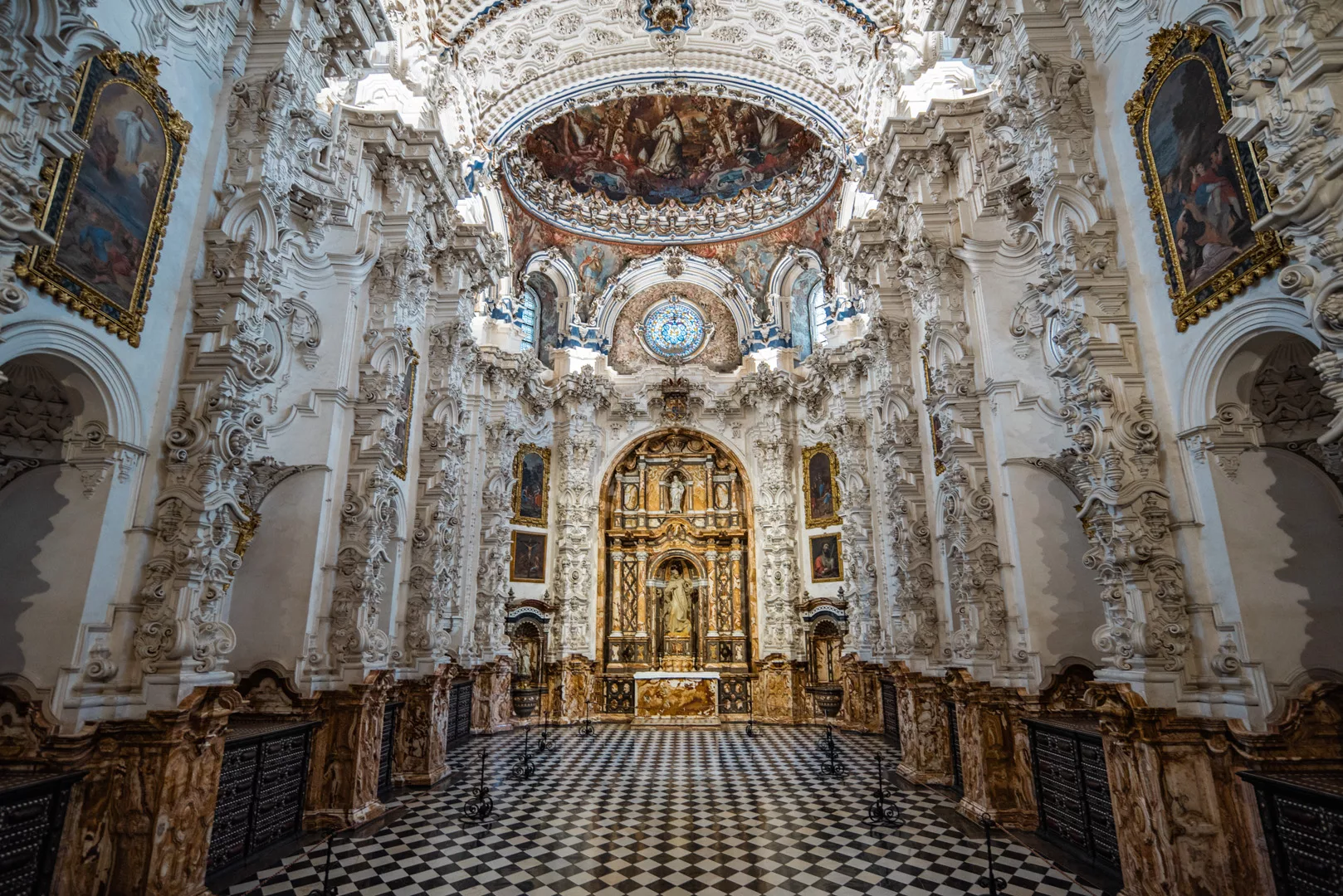
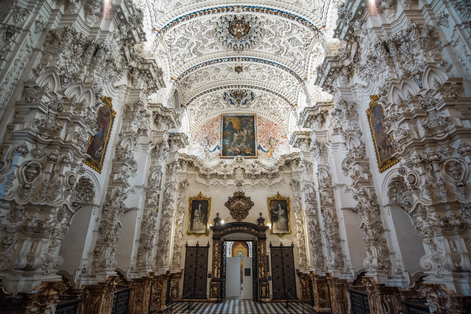
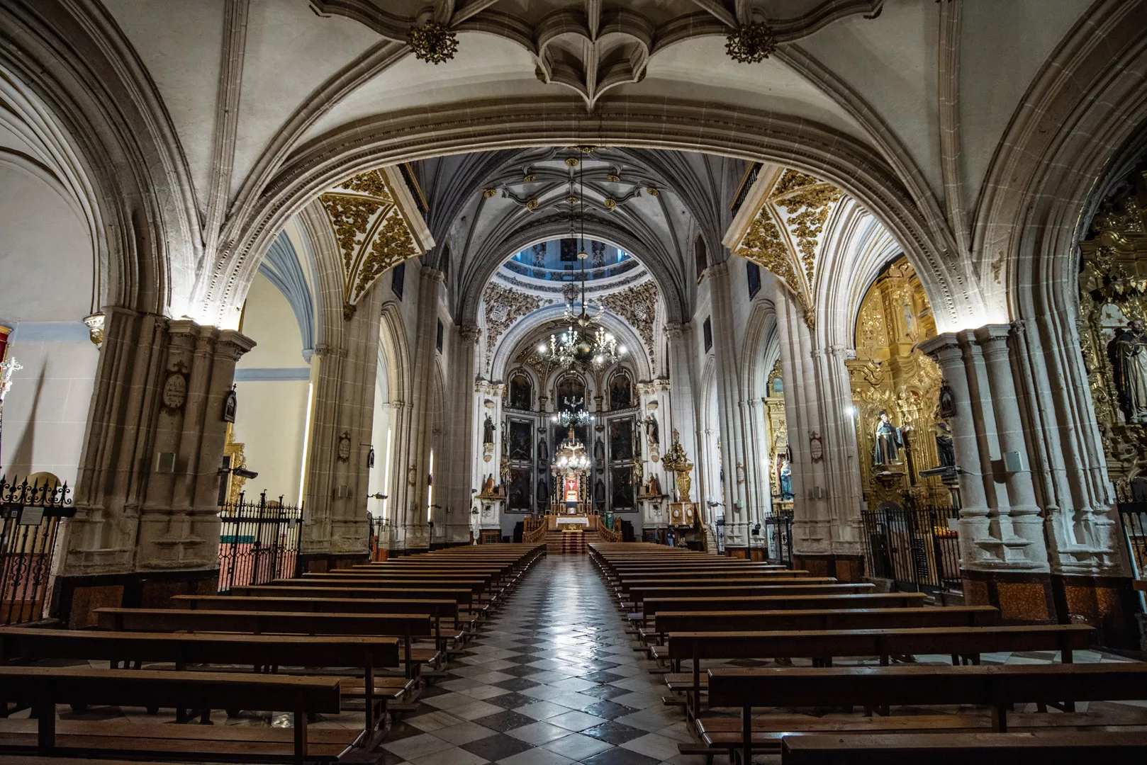
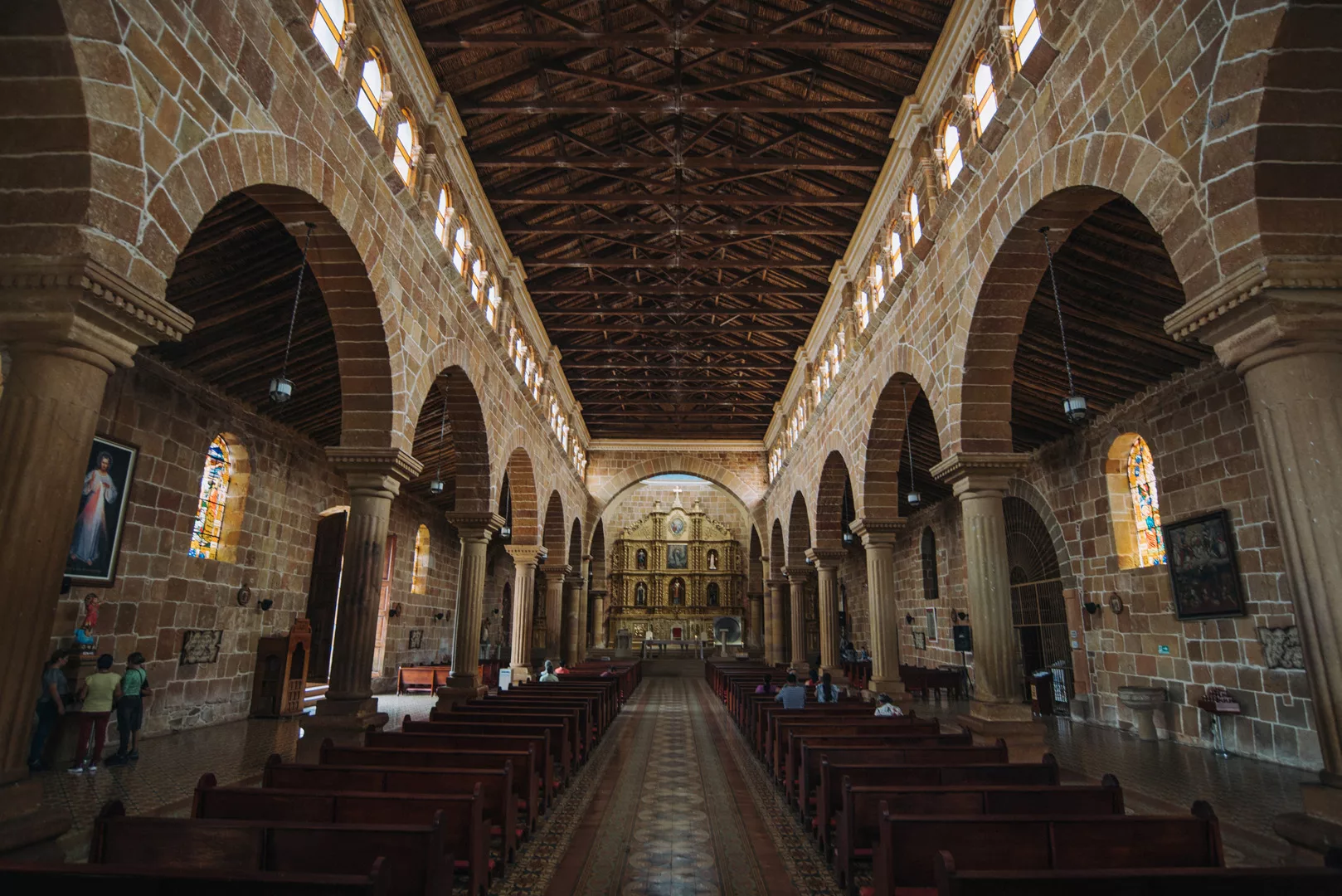
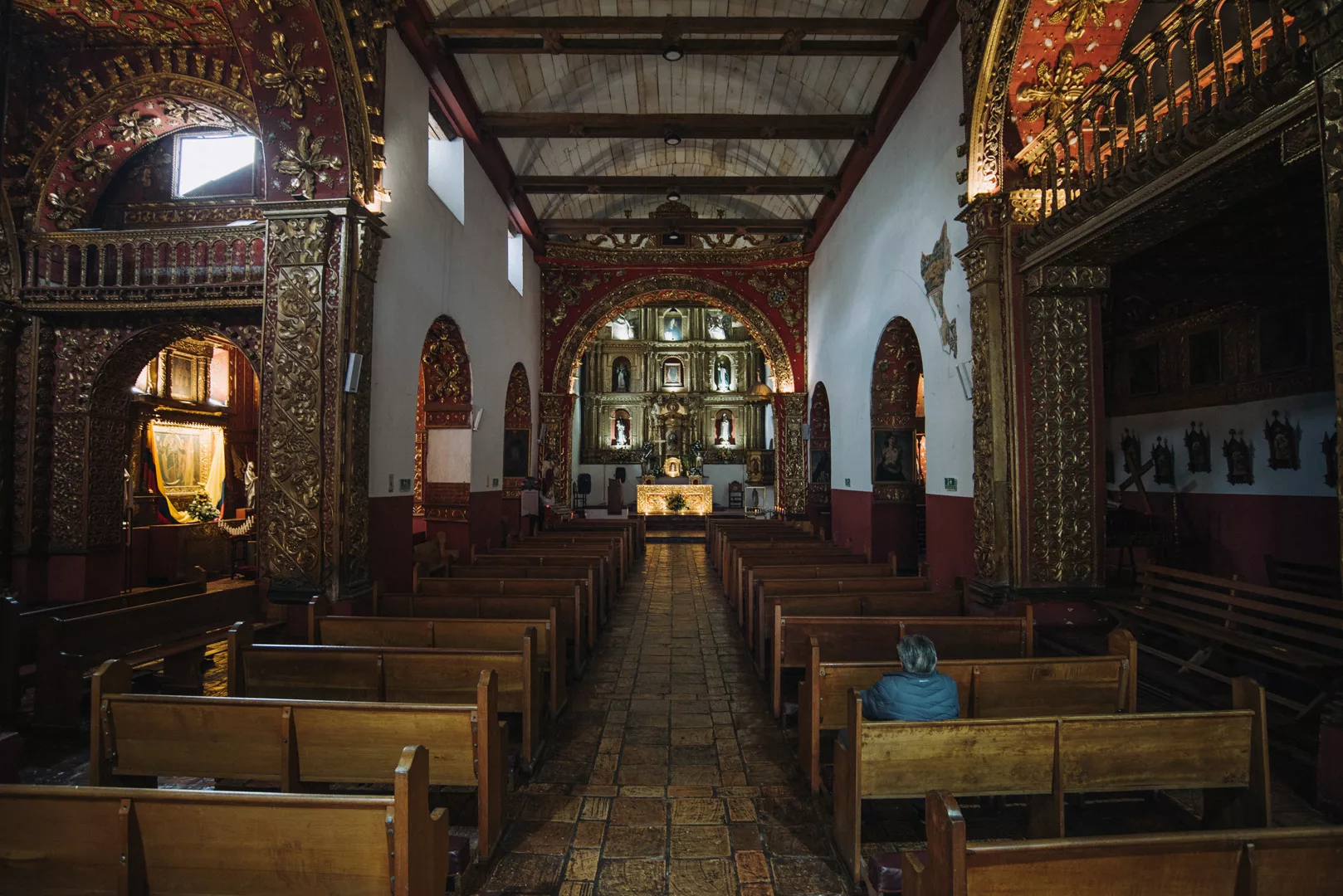
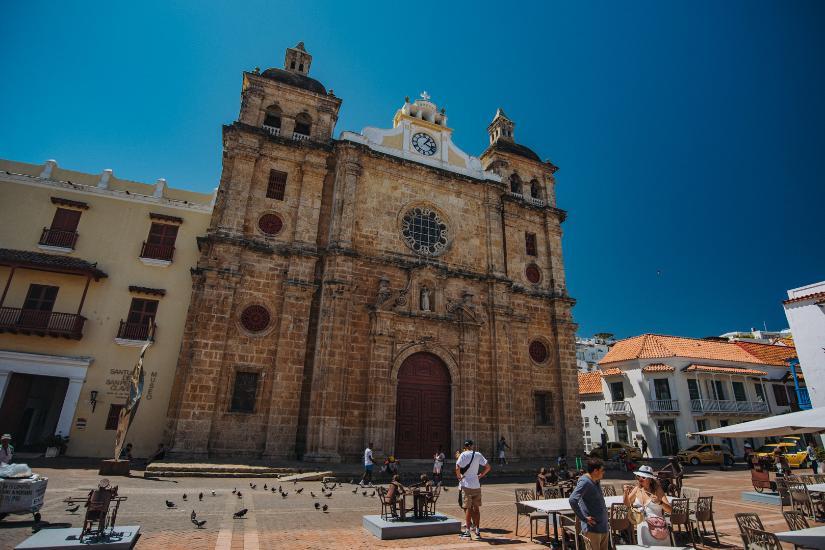
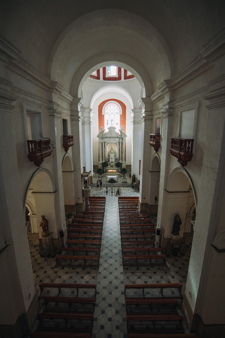
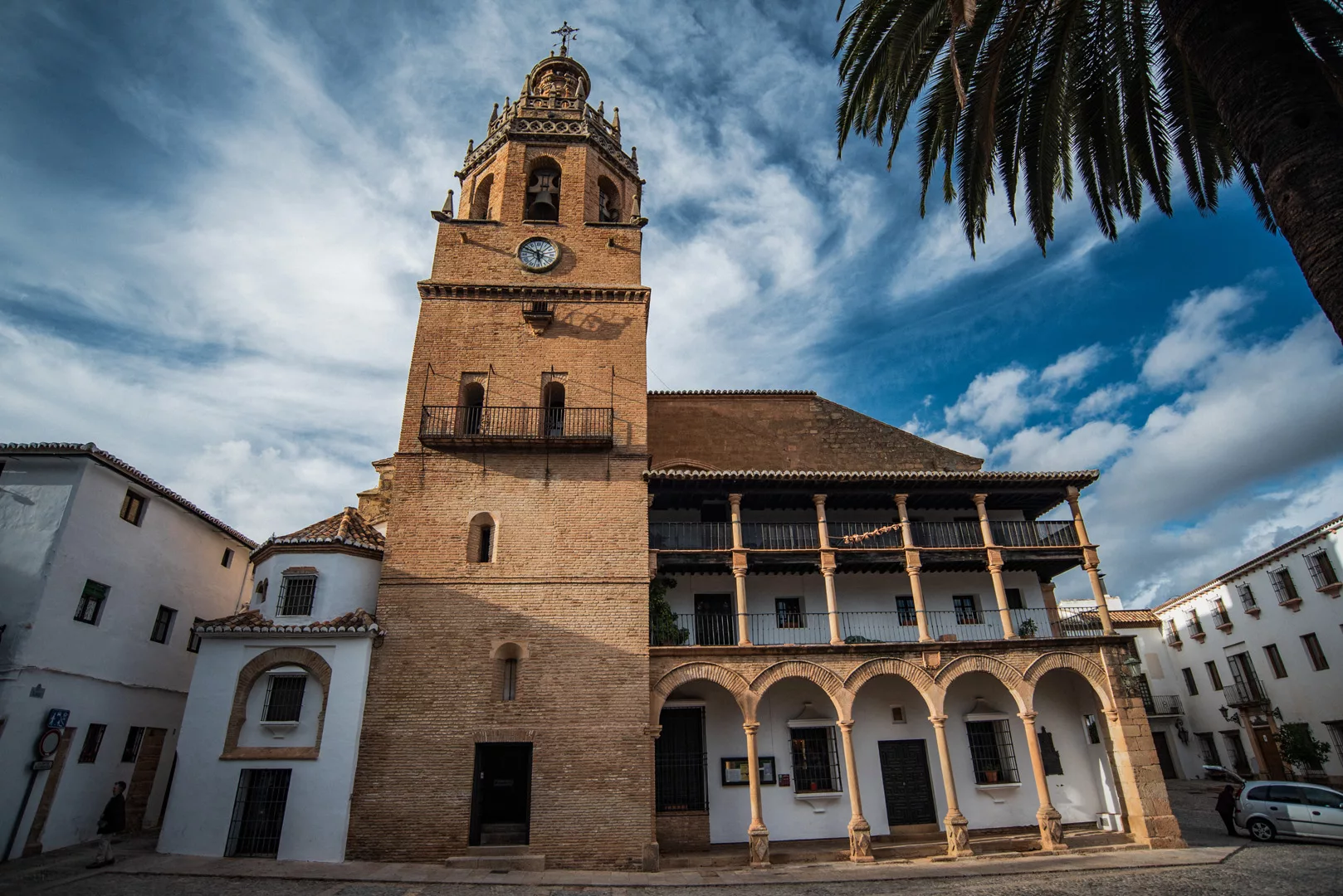
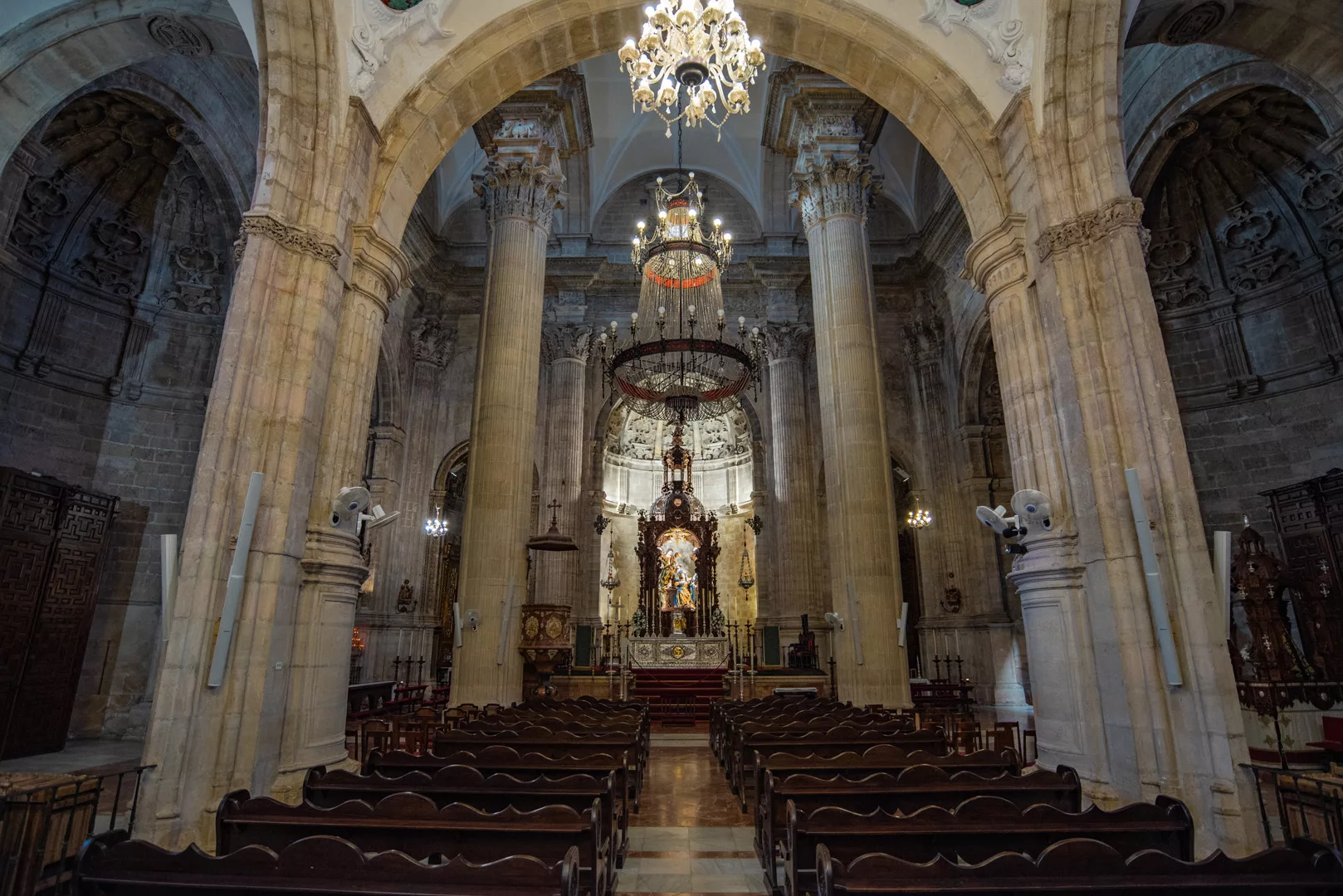
Iglesia de Santa Maria la Mayor (36°44’14″ N 5°09’55″ W).
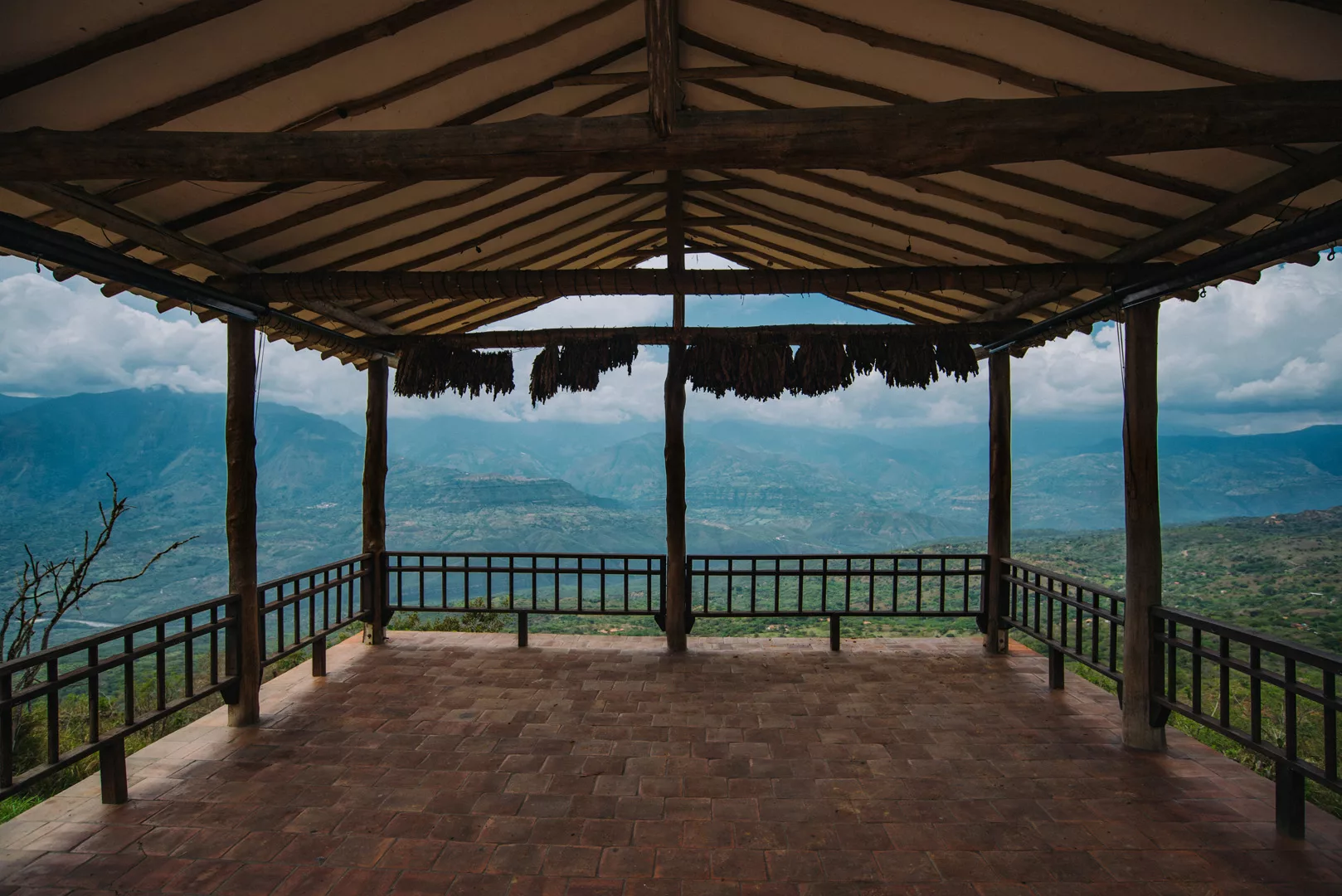
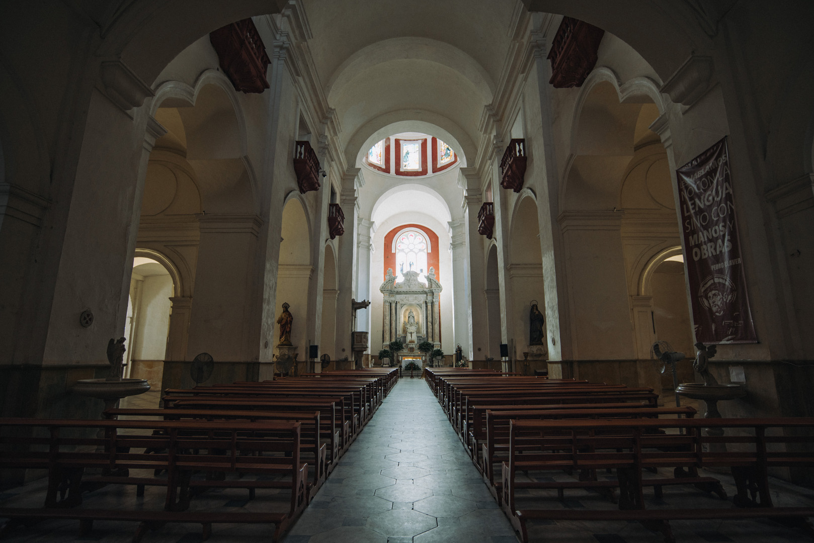
View on the city from the church.