 Covered nudity
Landscape
Covered nudity
Covered nudity
Landscape
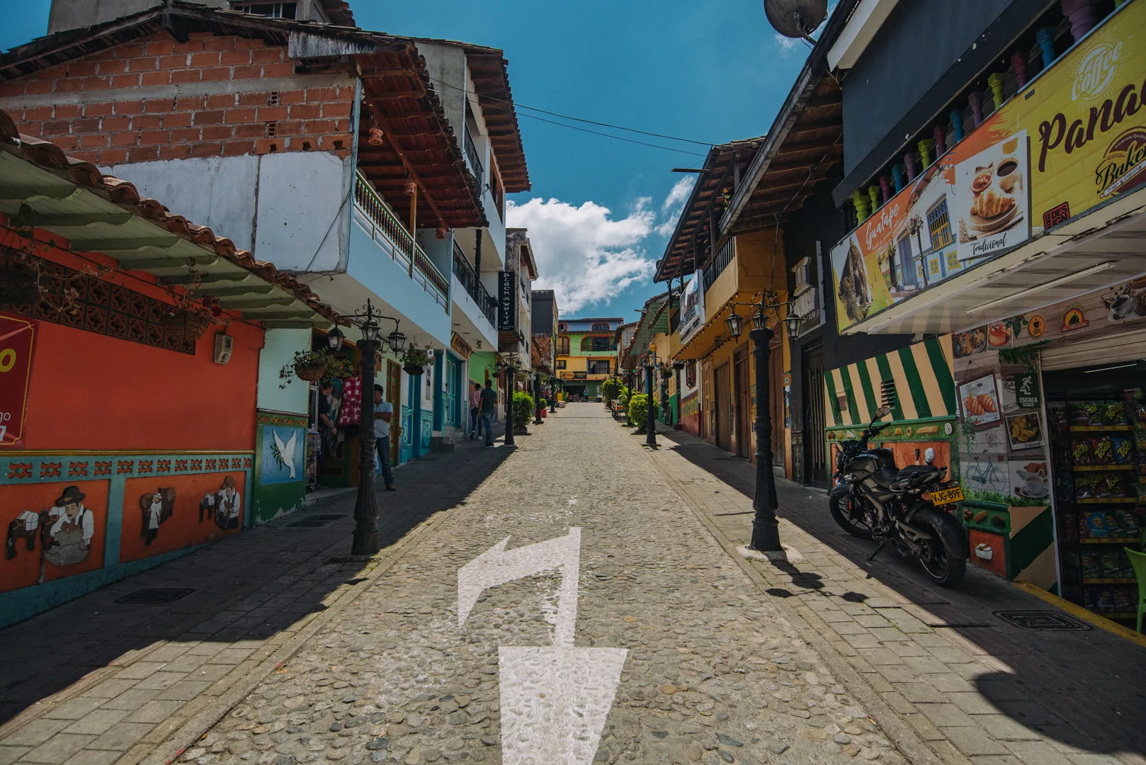
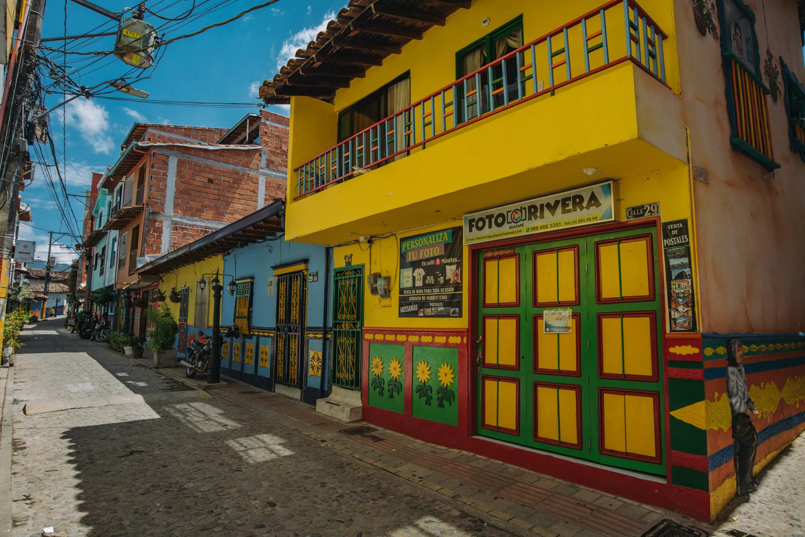
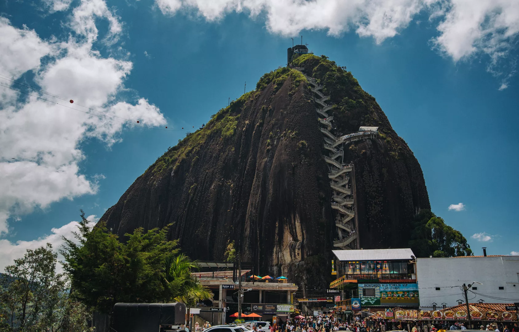
Guatapé (6°14’02″ N 75°09’33″ W) is a small town in Colombia 50 km east of Medellín. It is most known for nearby Piedra del Peñol (6°13’10″ N 75°10’46″ W), but it’s also a pretty town.
Piedra del Peñol seen from a viewpoint in Guatapé (6°13’56″ N 75°09’48″ W).
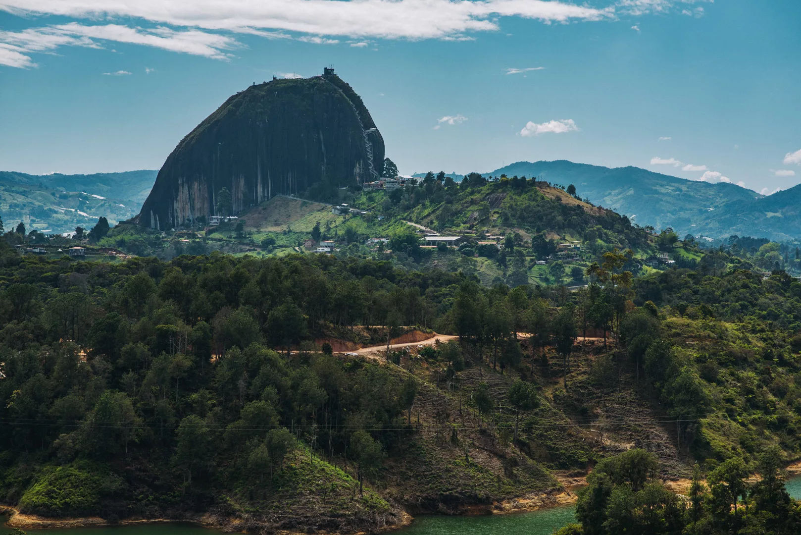
And seen from a parking lot just below the rock (6°13’20″ N 75°10’43″ W).
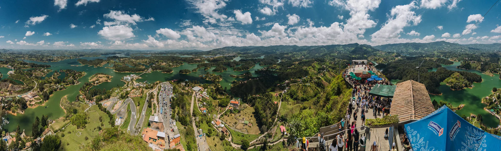
And the view from top of the rock on nearby lake.
 Landscape
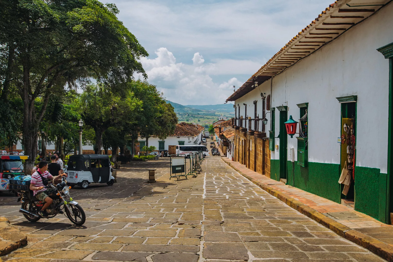
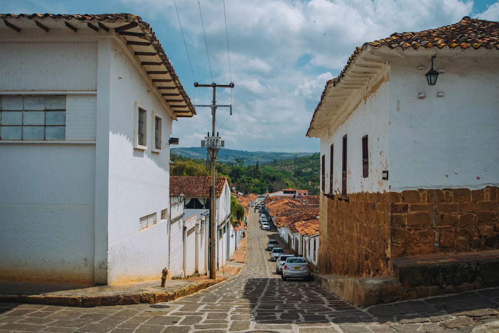
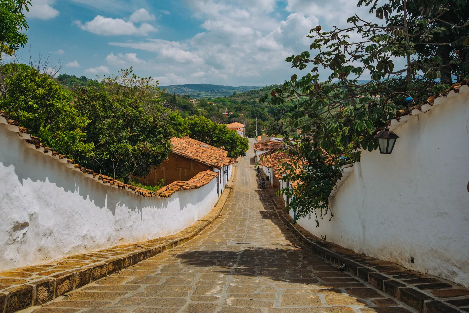
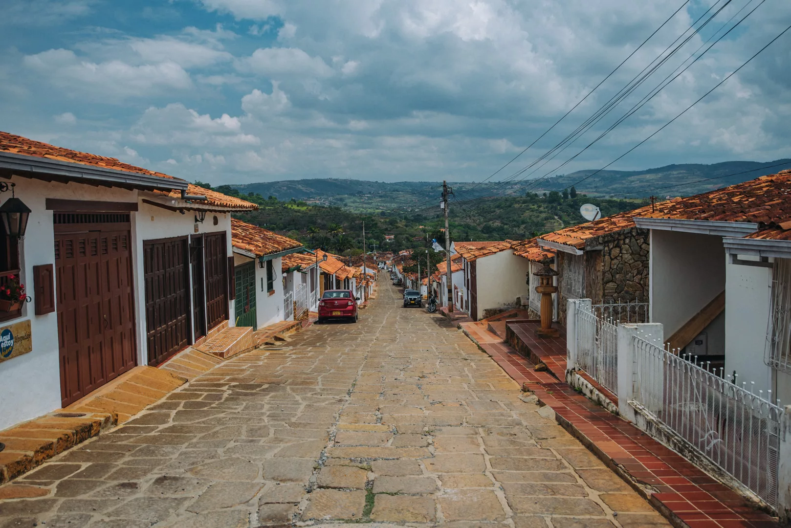
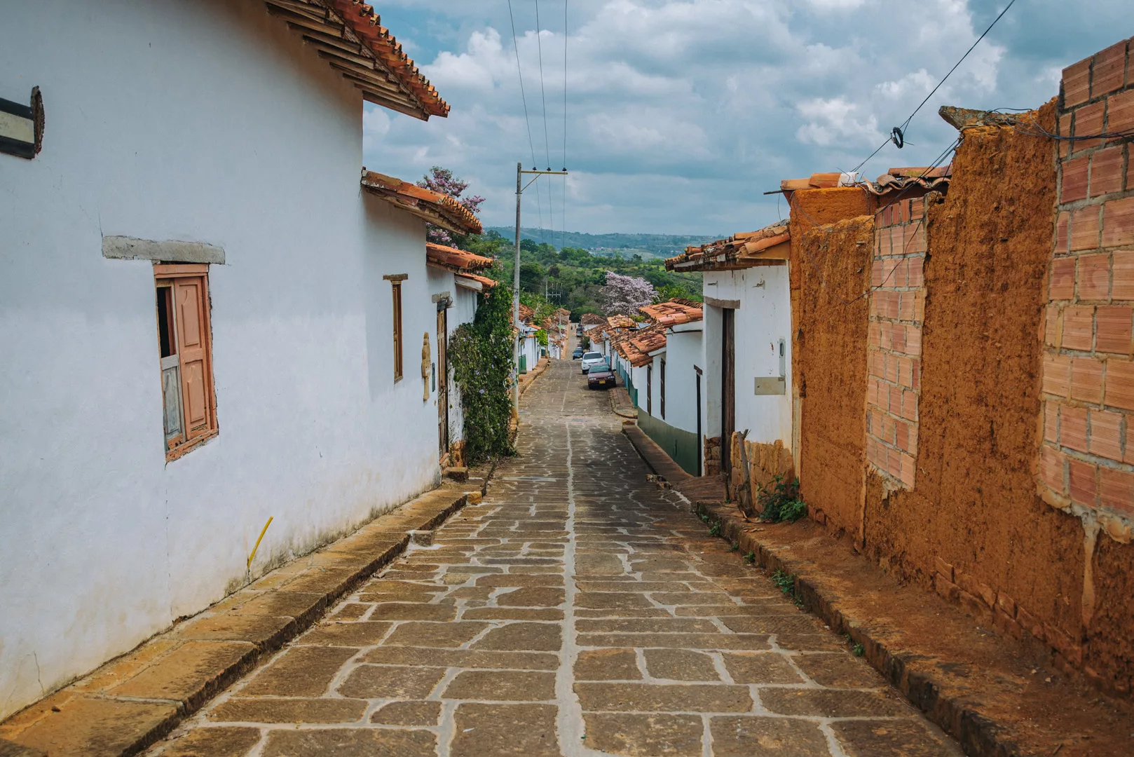
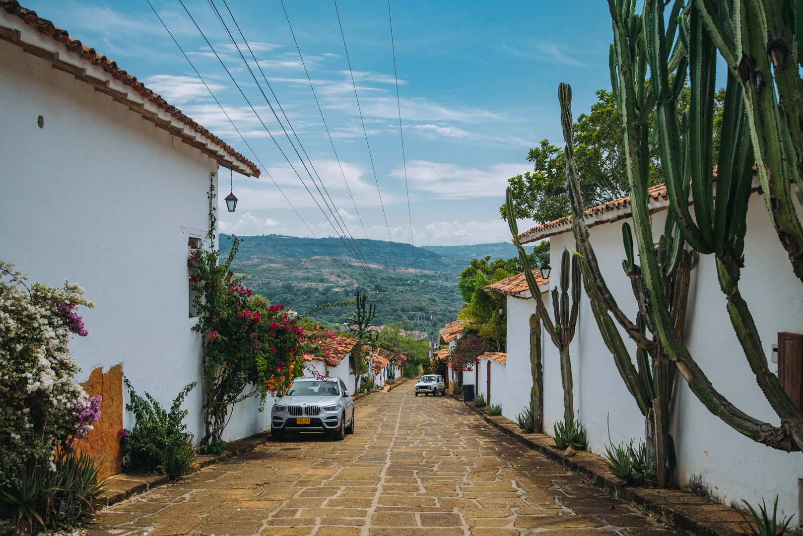
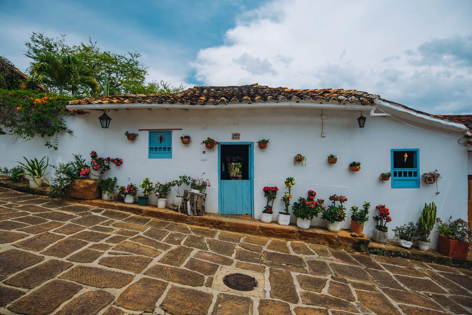
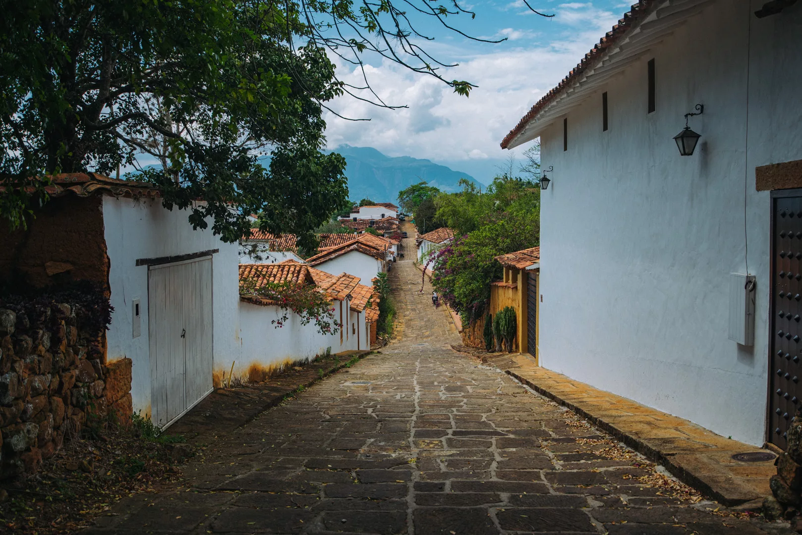
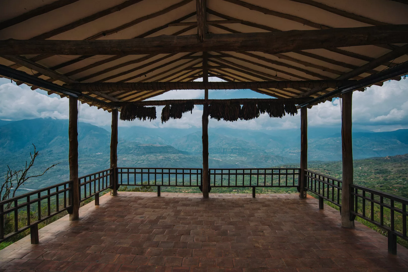
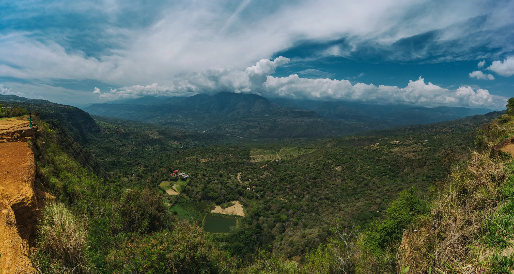
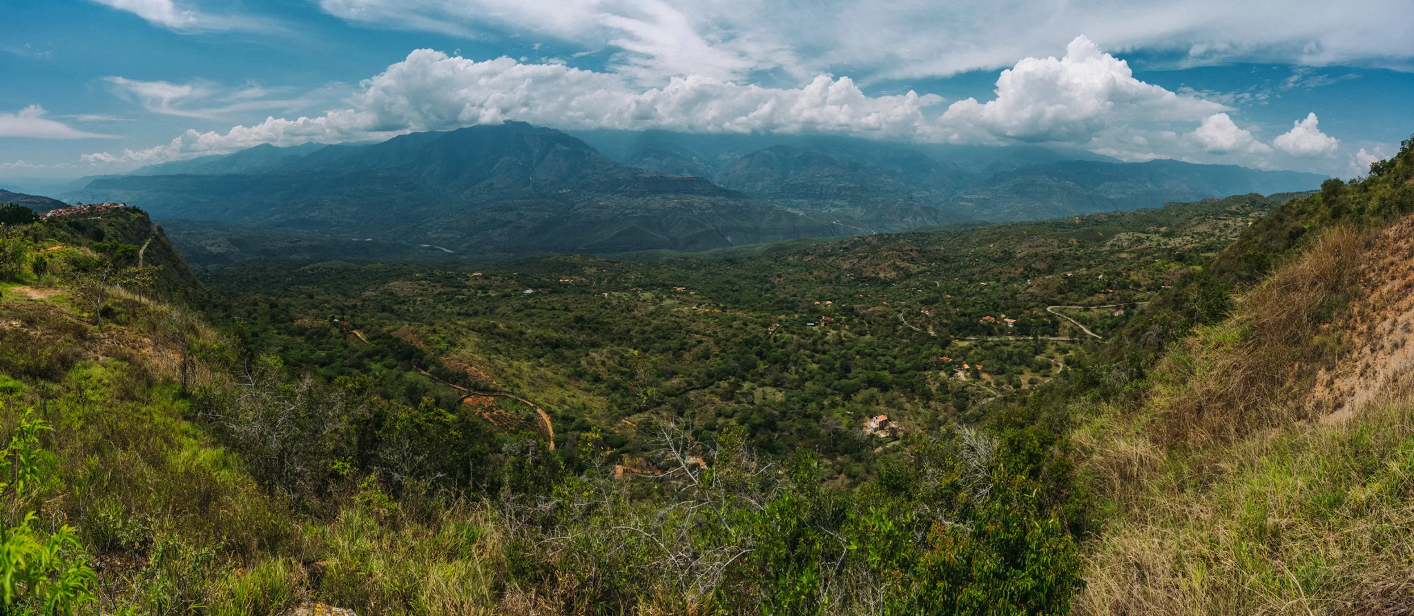
Barichara (6°38’05″ N 73°13’25″ W) is a small town 240 km north-east of Bogotá. It is known for it’s beautiful streets and viewpoints – 250 m cliff, which lowers to a valley 800 m lower than the city before raising to 3000 m.a.s.l. mountain range just 17 km from the city.
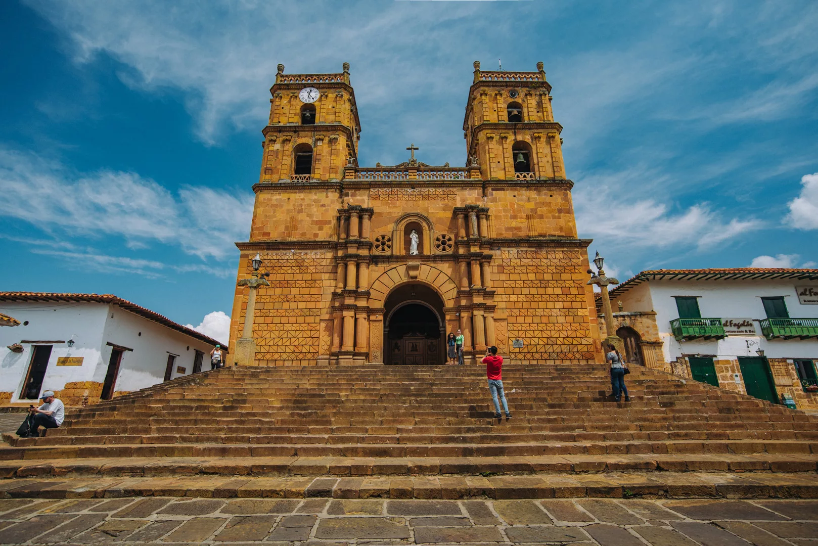
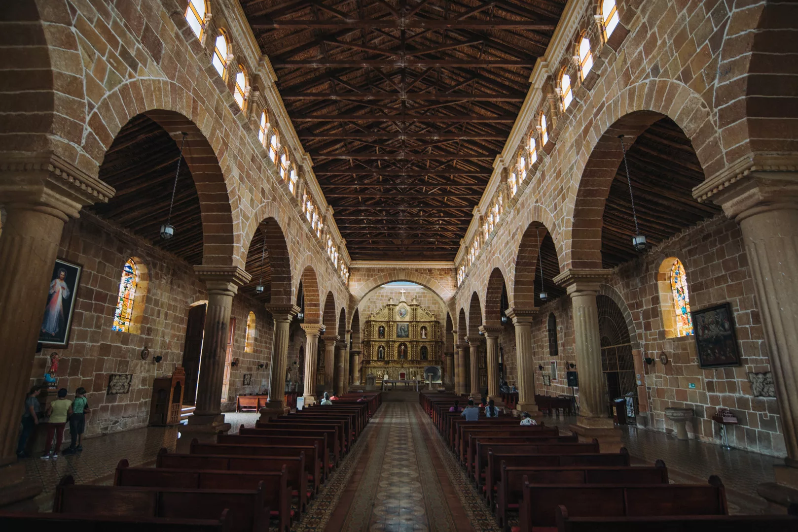
Catedral de la Inmaculada Concepción (6°38’10″ N 73°13’25″ W).
Viewpoint at 6°38’16″ N 73°13’31″ W.
Mirador de Barichara (6°38’08″ N 73°13’39″ W).
A viewpoint in Bioparque Móncora (6°38’40″ N 73°13’19″ W). Barichara can be seen on the left.
 Landscape
Boyacá is a region in inland Colombia north of Bogotá.
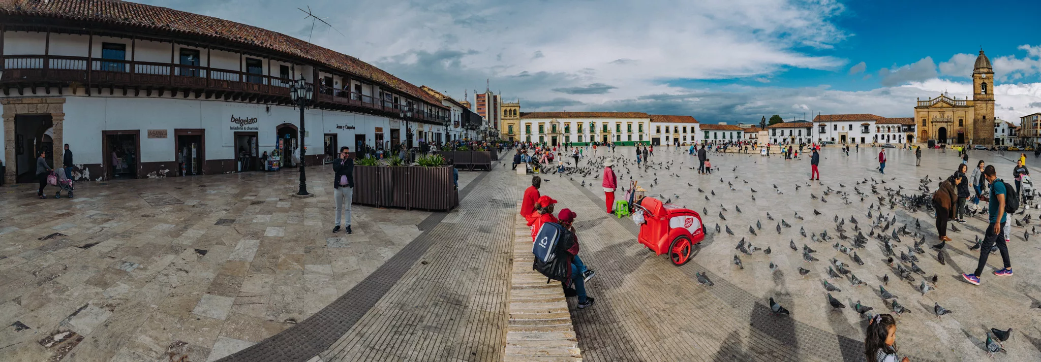
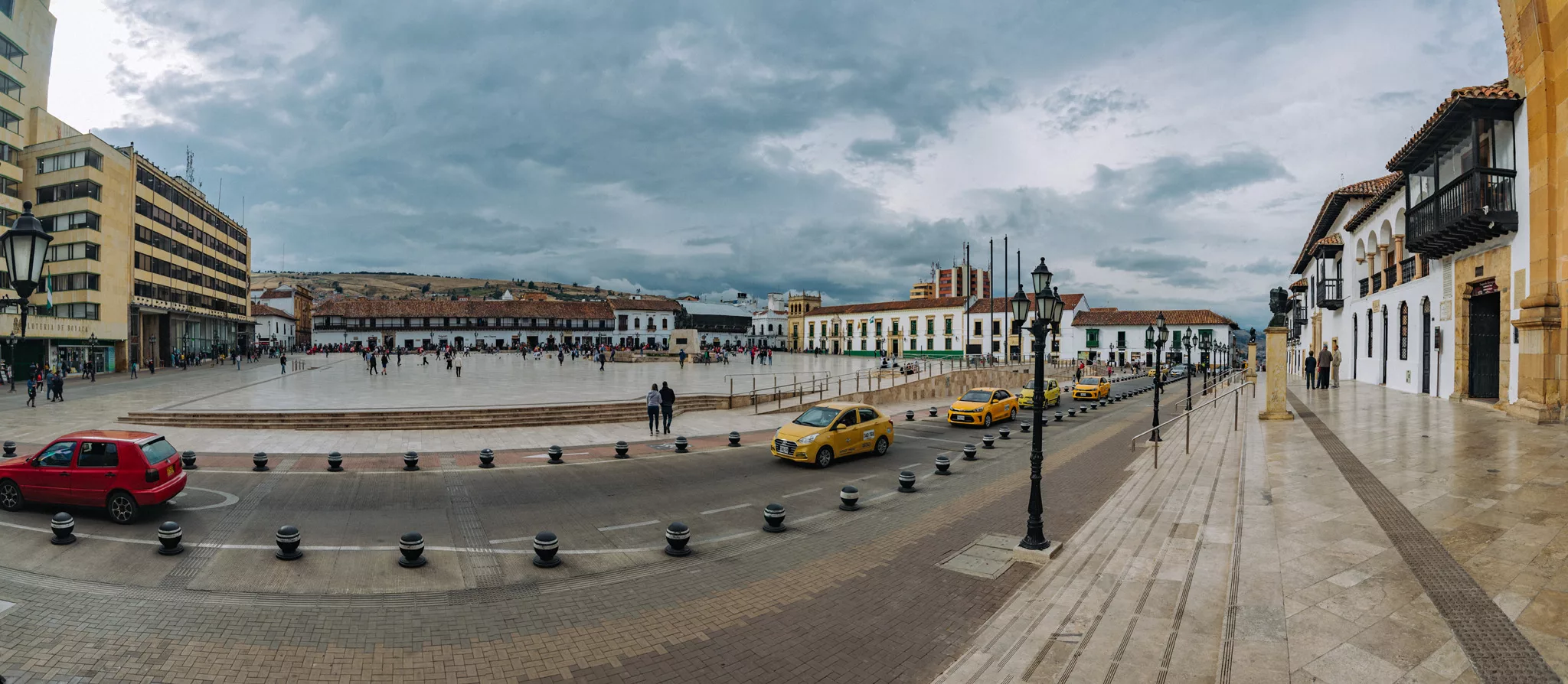
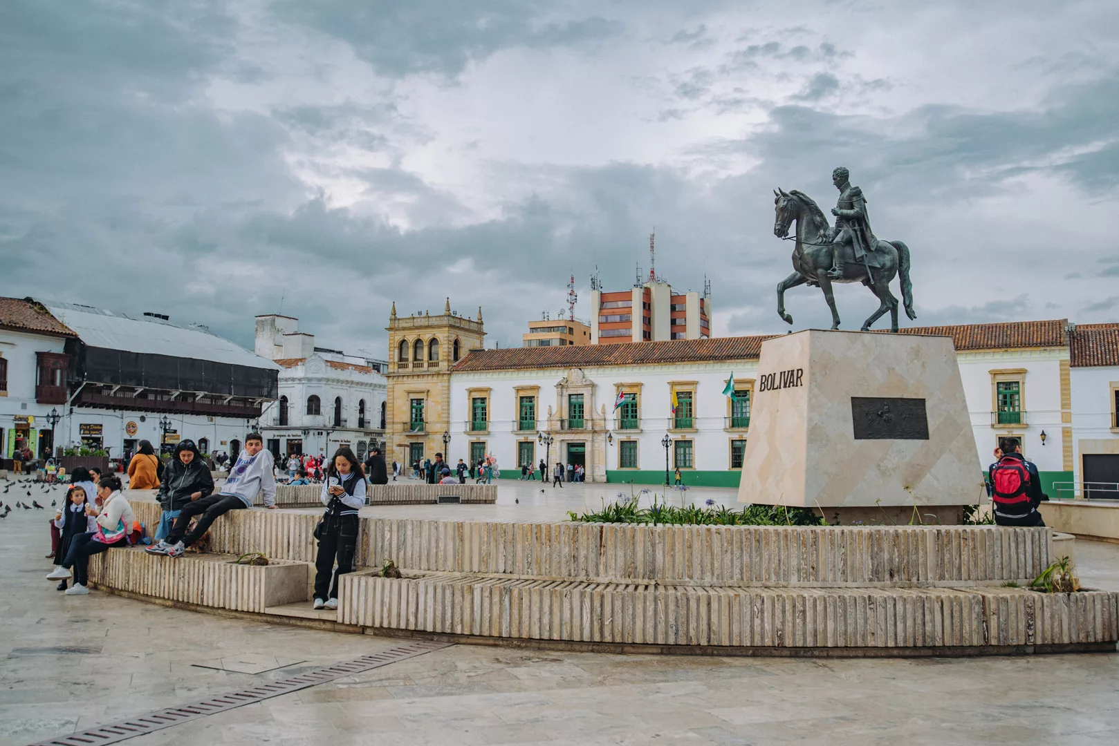
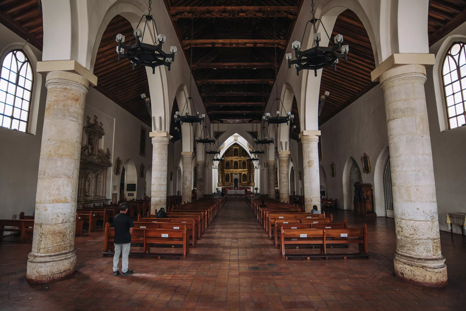
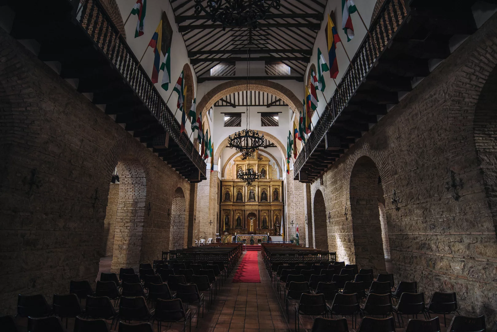
Tunja (5°32’ N 73°22’ W) is a medium city in Colombia, 130 km north-east of Bogota.
Plaza de Bolivar (5°31’57″ N 73°21’42″ W).
Catedral de Tunja (5°31’55″ N 73°21’39″ W).
Santuario de San Ignacio (5°31’53″ N 73°21’45″ W).
Iglesia De Santo Domingo (5°31’59″ N 73°21’48″ W).
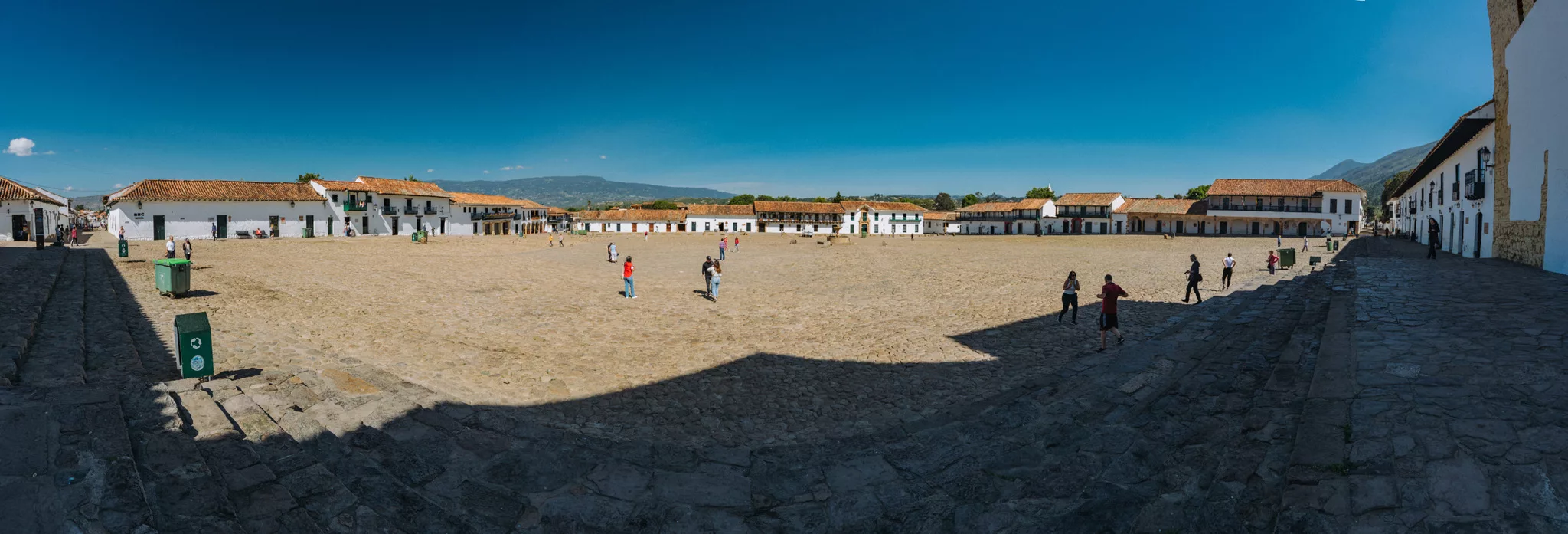
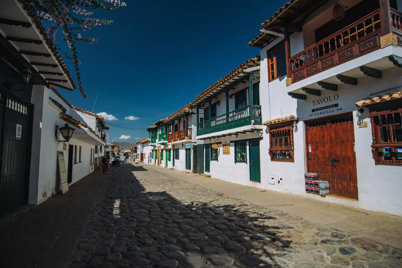
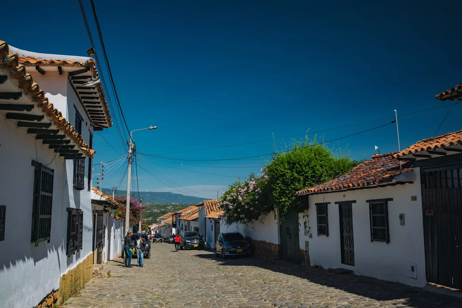
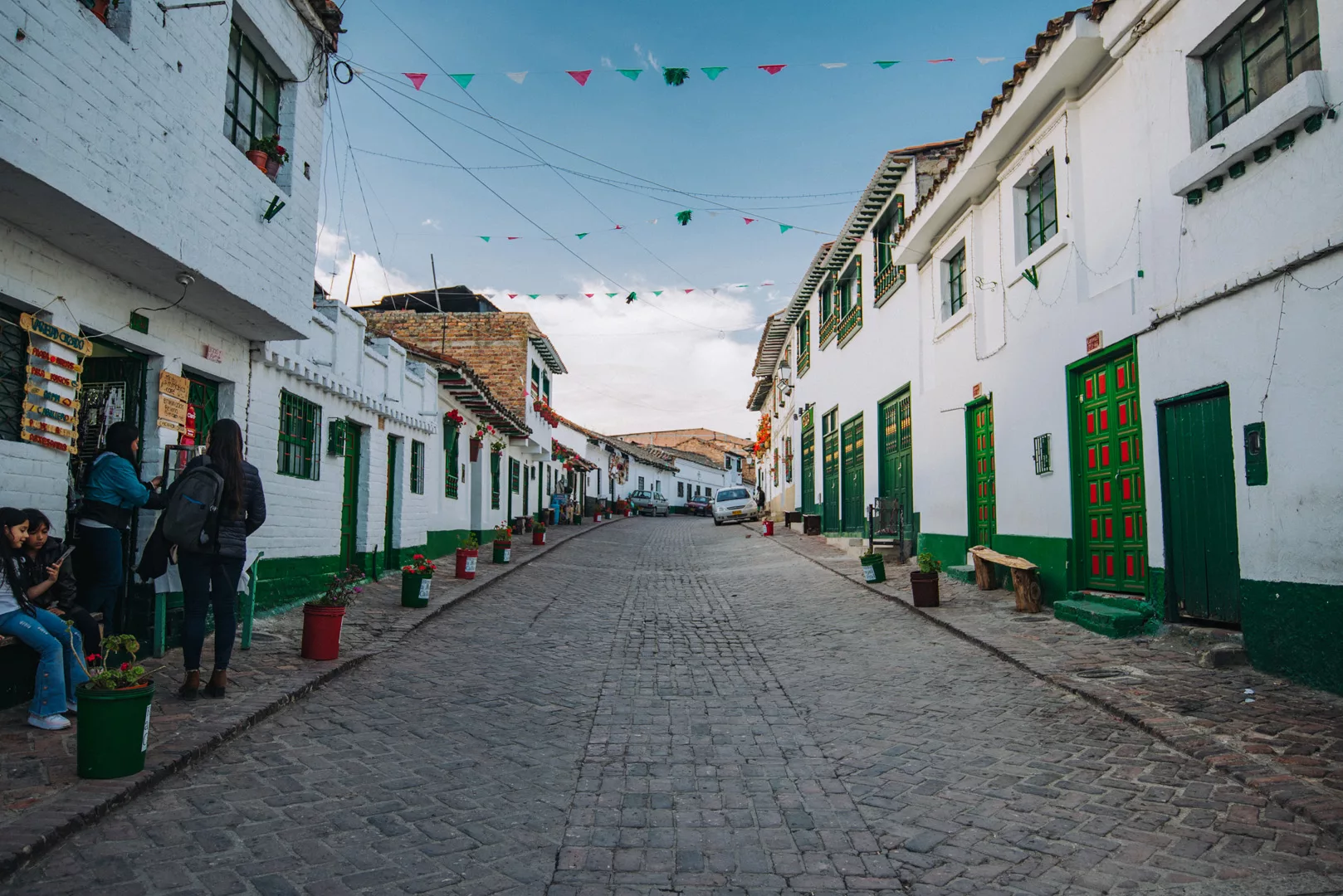
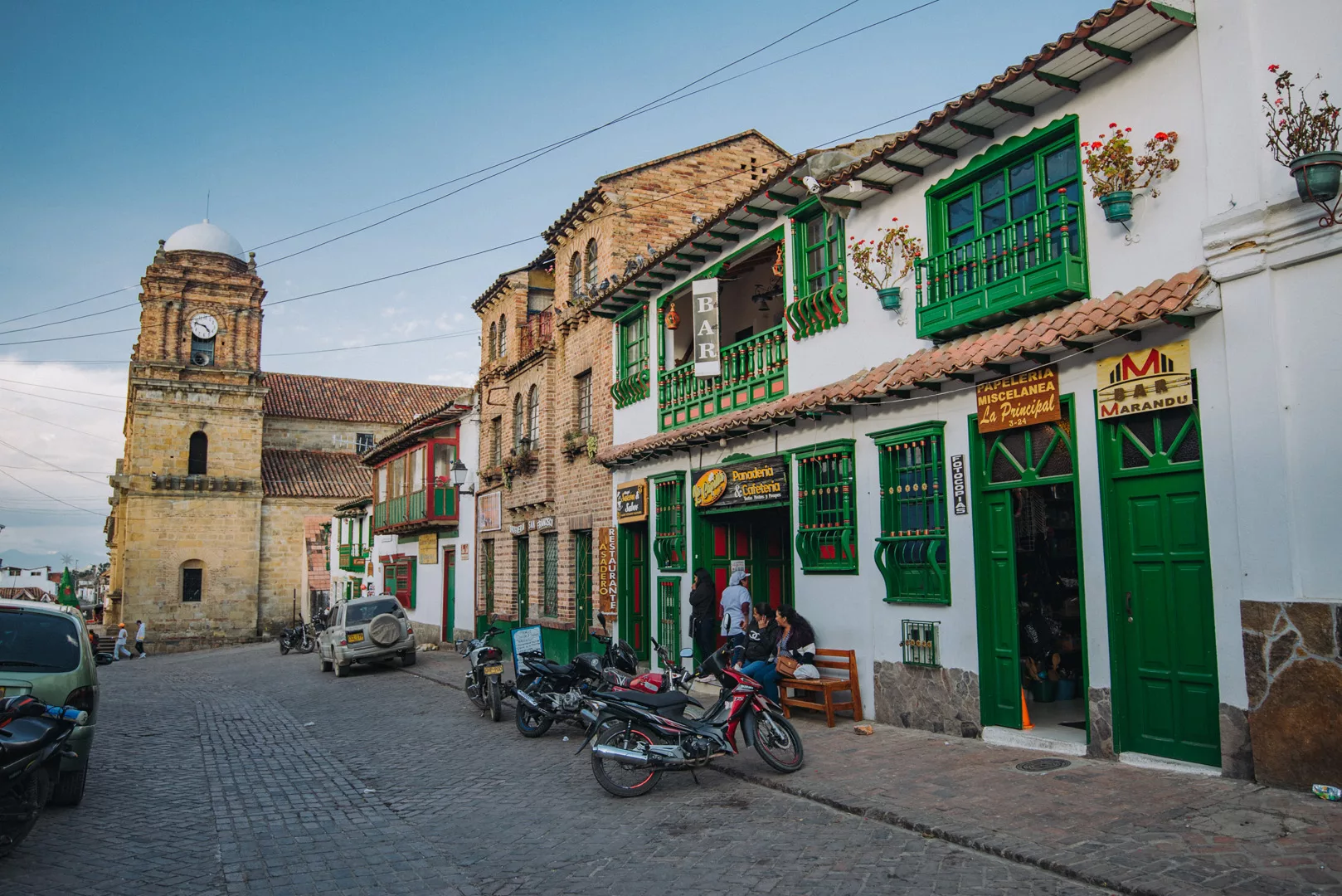
Villa De Leyva (5°38’0″ N 73°31’30″ W) is a beautiful small village 20 km from Tunja.
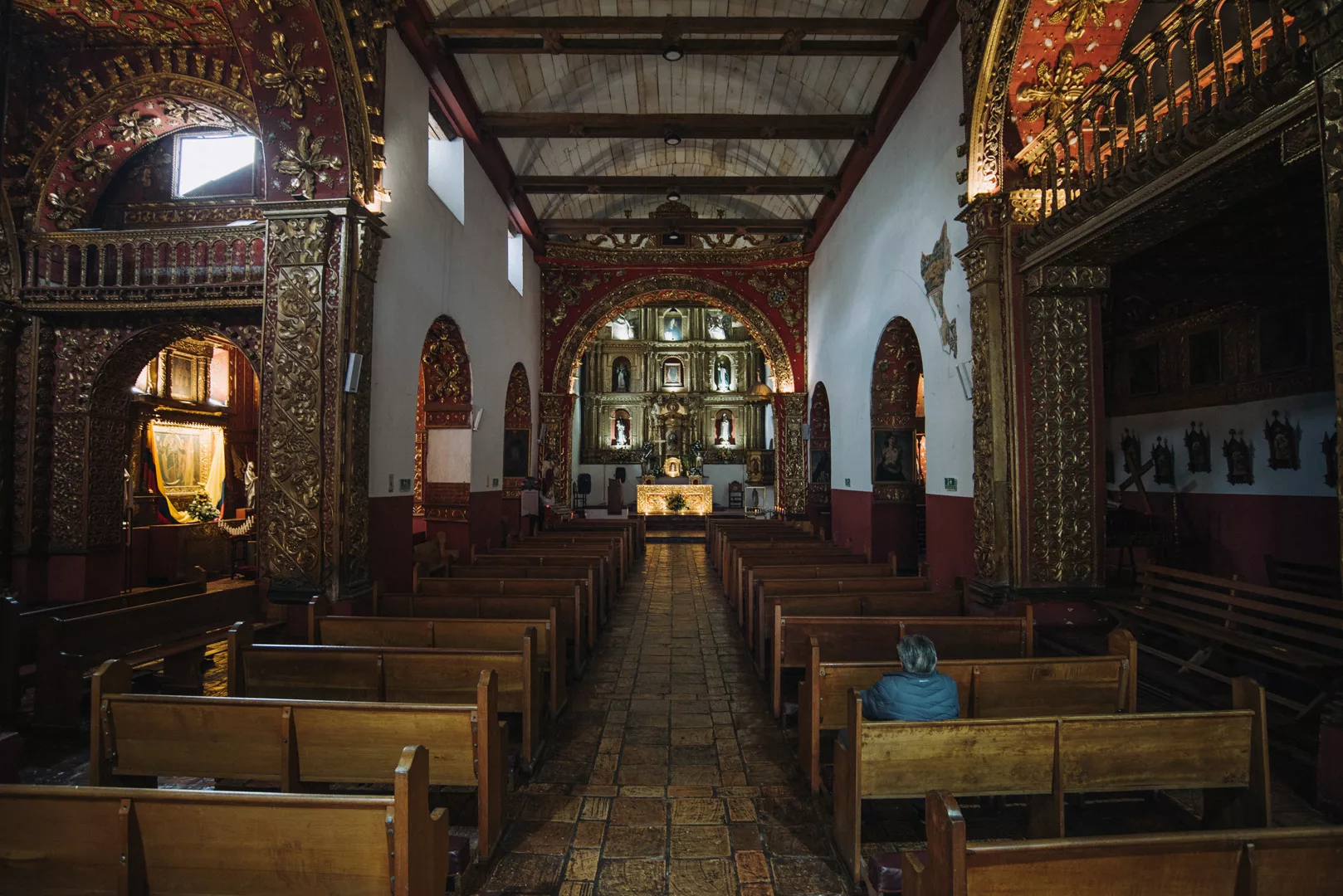
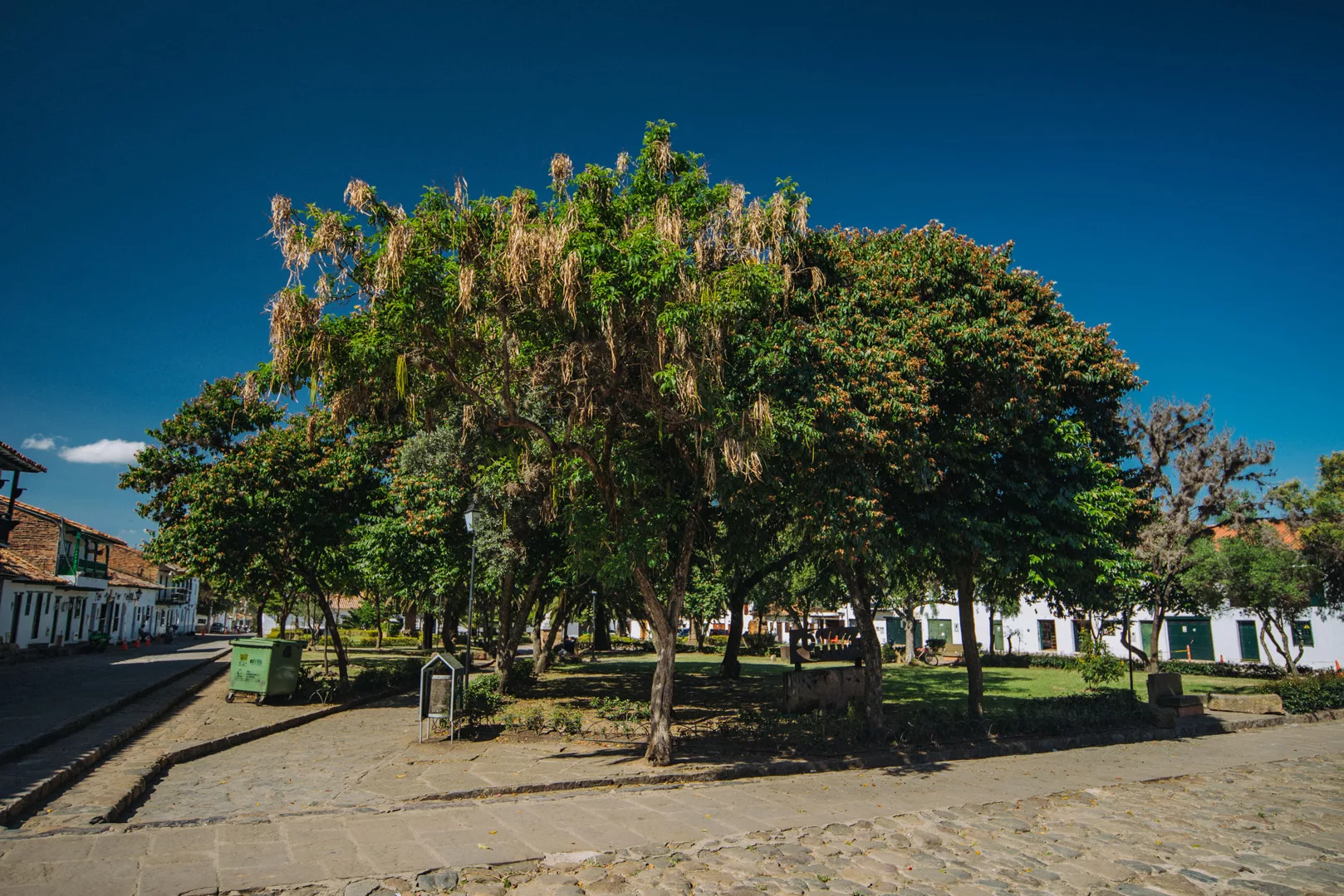
Plaza Mayor de Villa de Leyva (5°38’01″ N 73°31’25″ W).
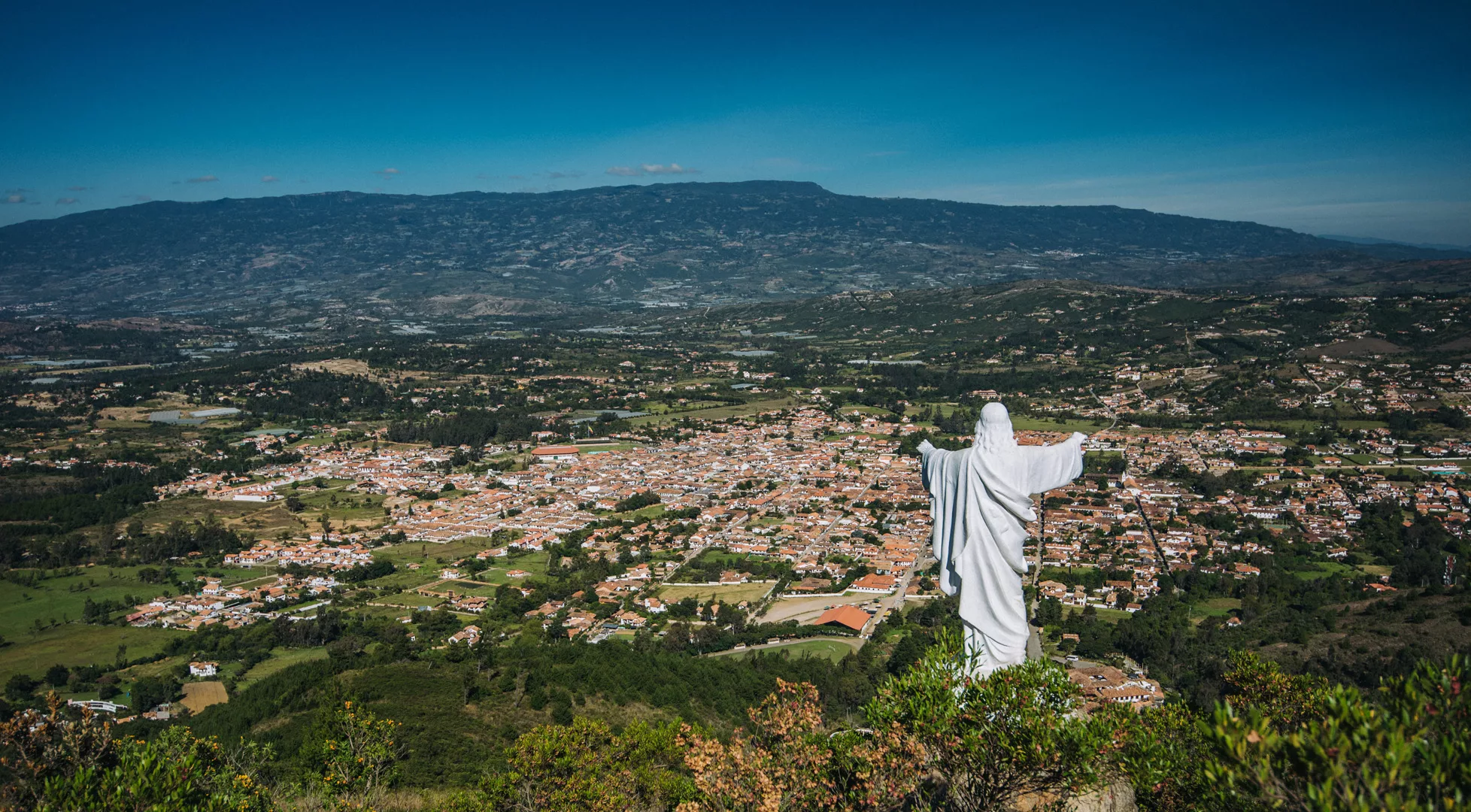
View from Mirador El Santo Sagrado Corazon de Jesus (5°37’30″ N 73°30’49″ W) over the city.
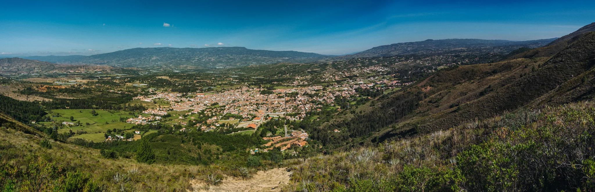
View from viewpoint (5°36’0″ N 73°31’22″ W) near Las Cárcavas and along the way, near Villa de Leyva.
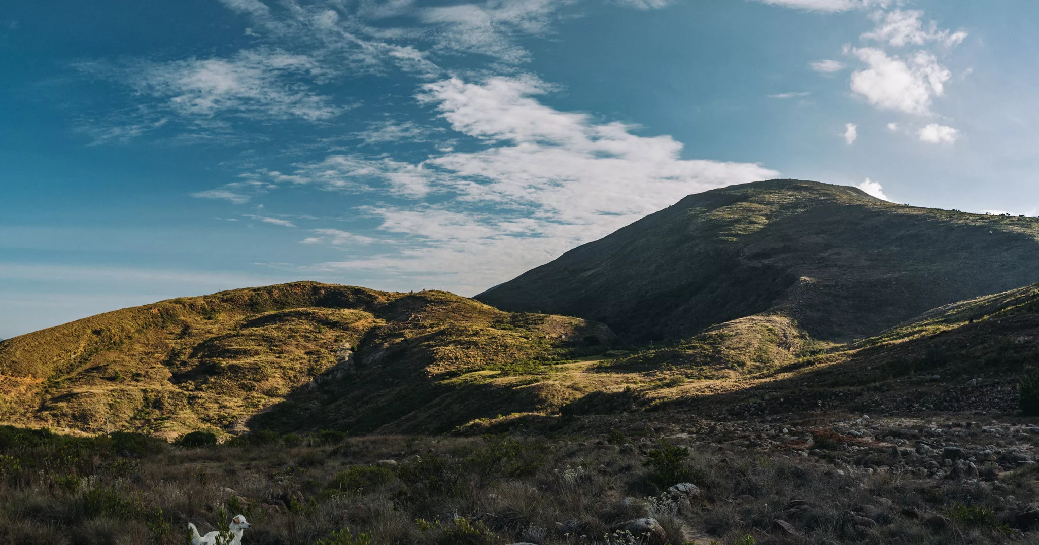
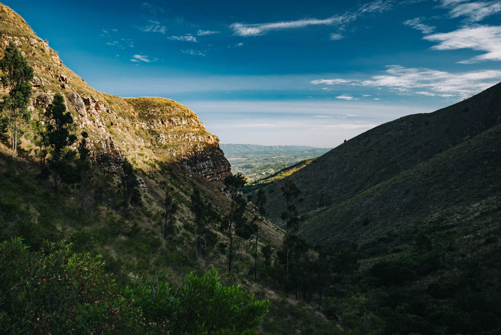
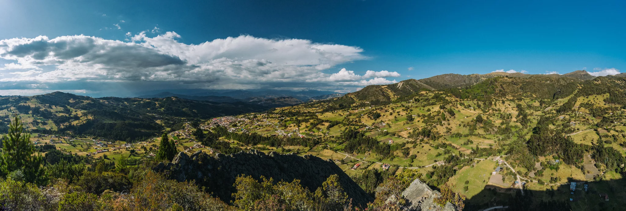
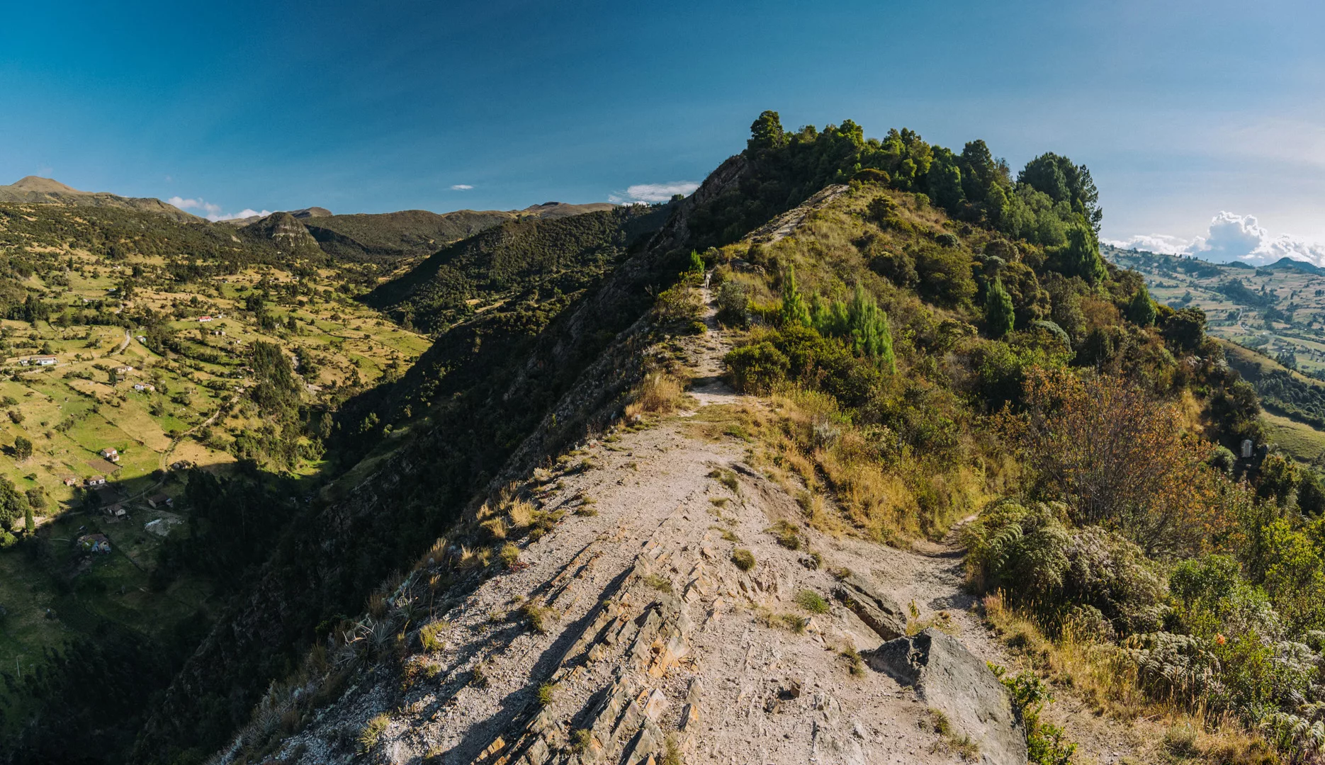
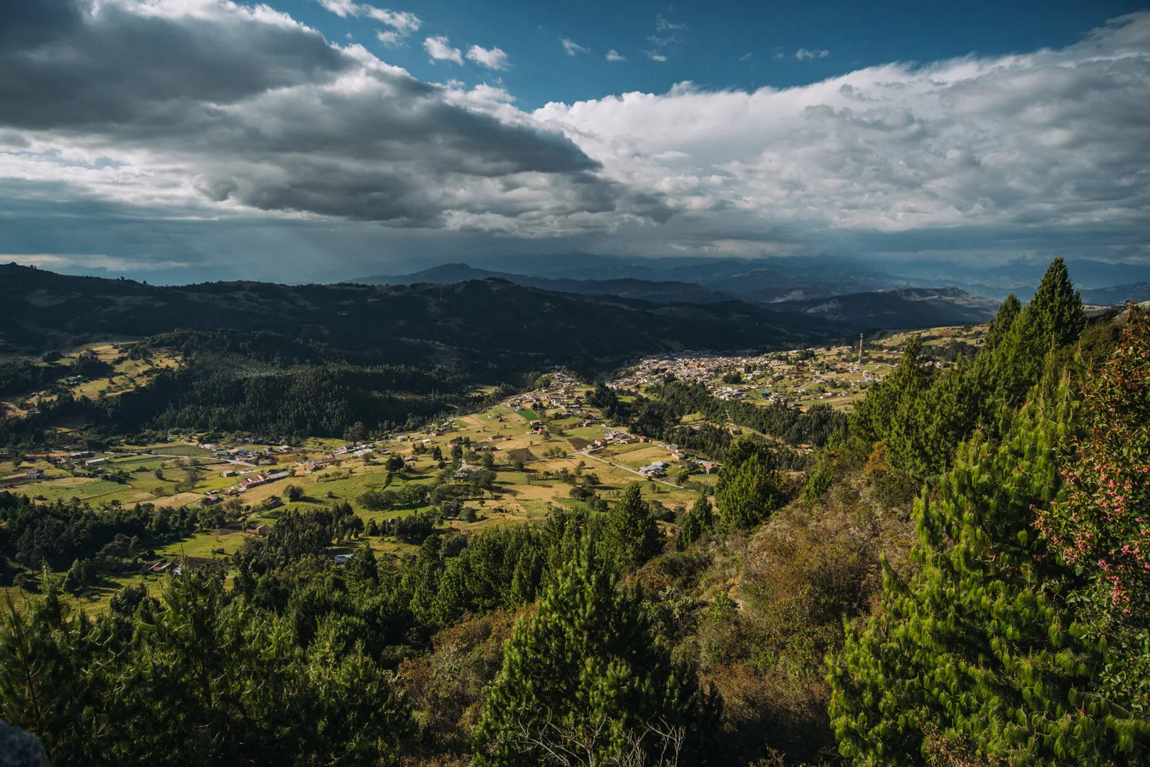
Monguí (5°43’19″ N 72°50’56″ W) is a small town 60 km from Tunja and 10 km from Sogamoso. I went there mostly for the view from a small local mountain.
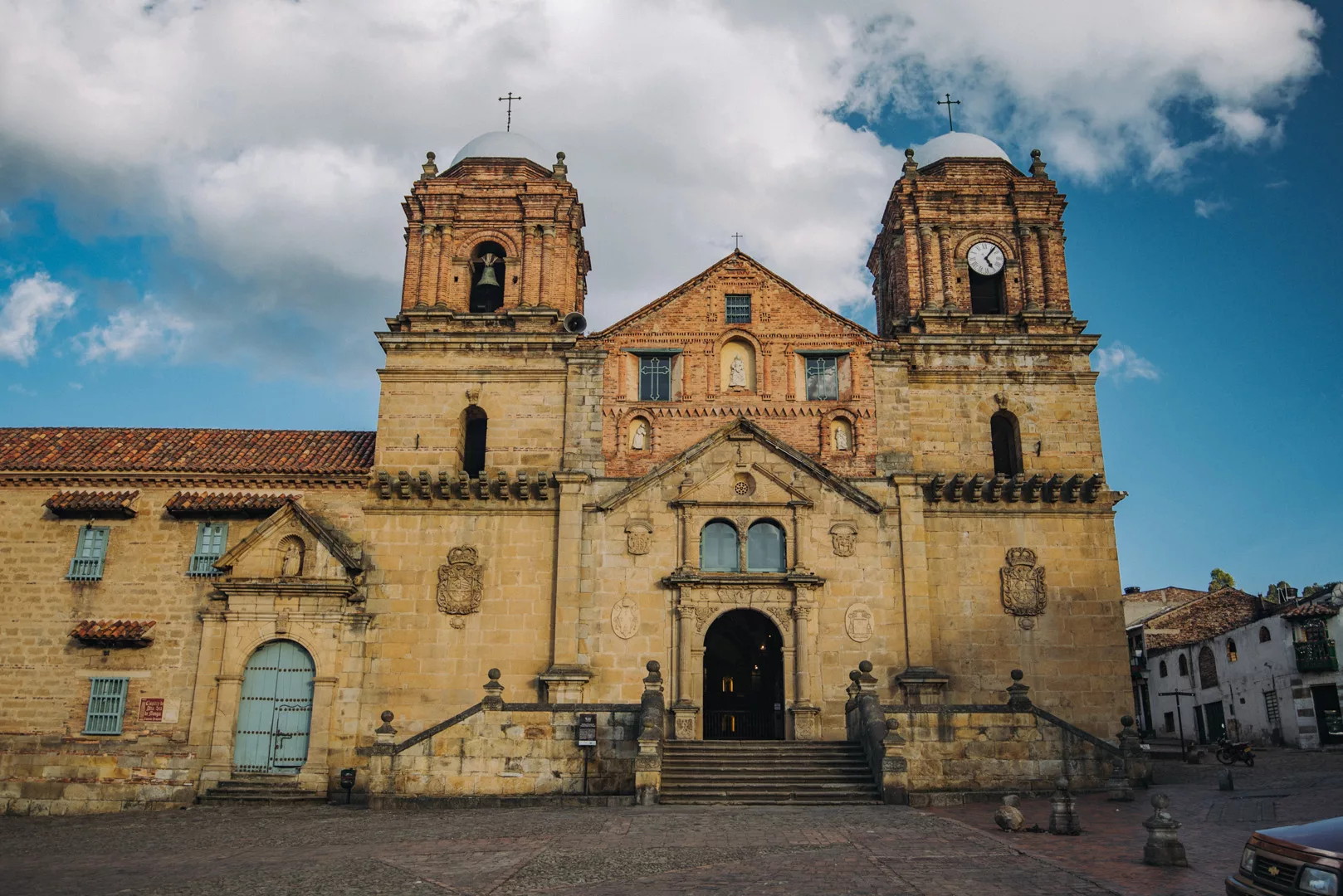
Basílica Menor de Nuestra Señora de Monguí (5°43’19″ N 72°50’56″ W).
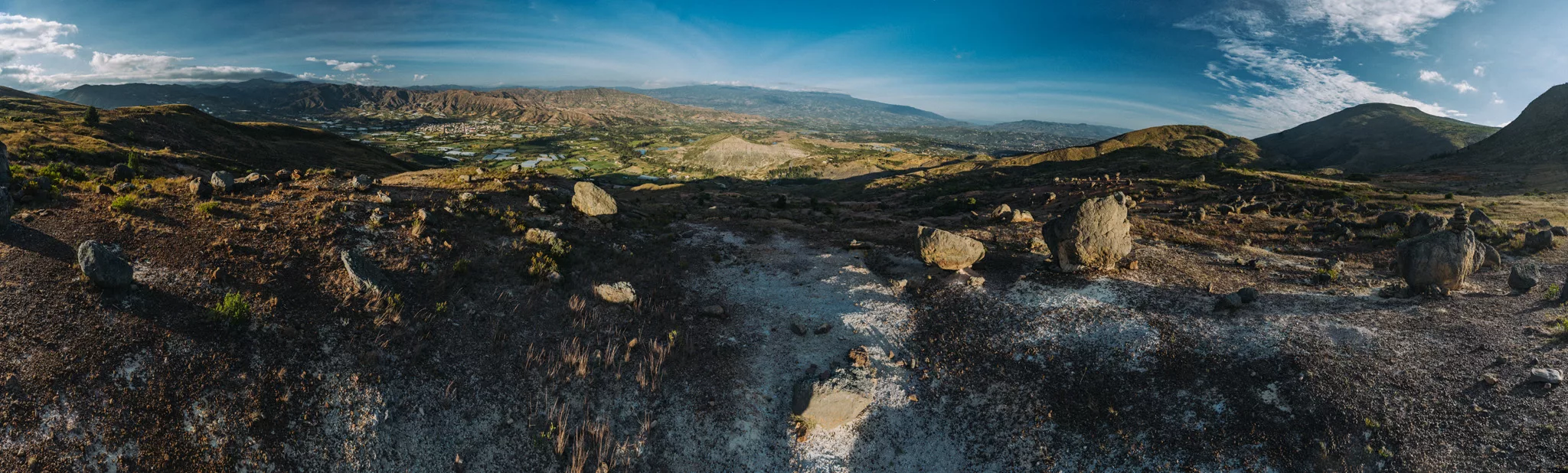
View from Peña de Otí (5°42’30″ N 72°50’34″ W).
 Landscape
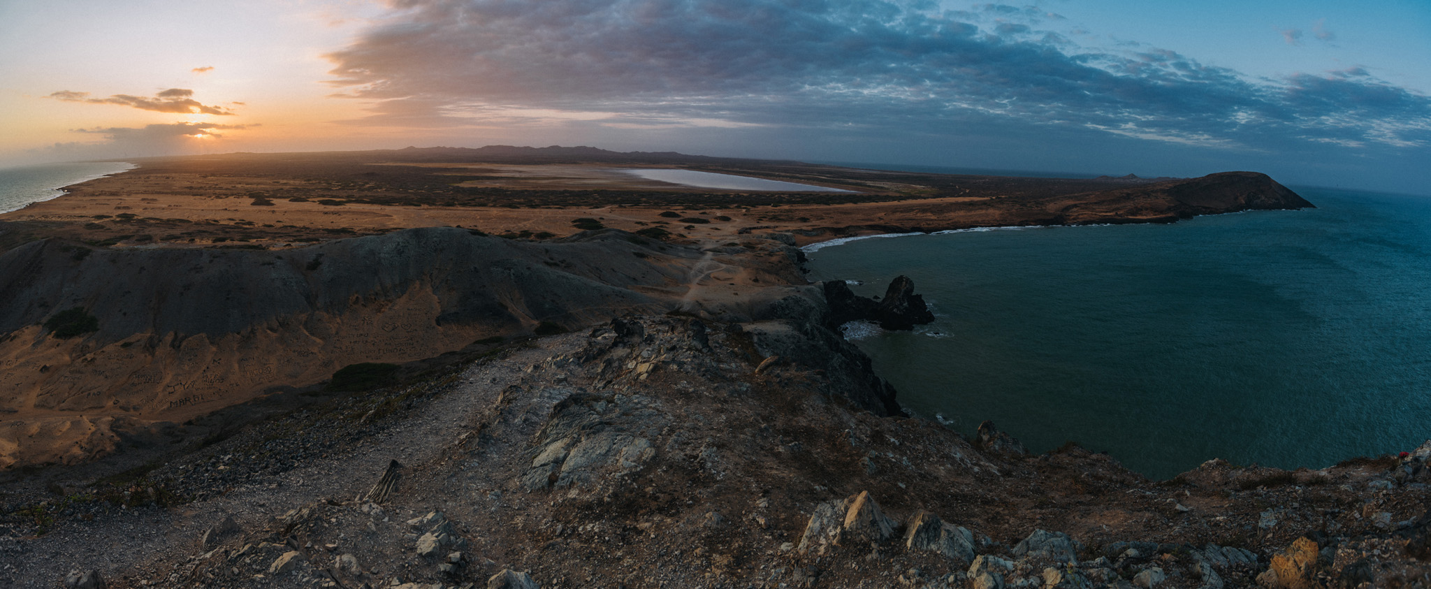
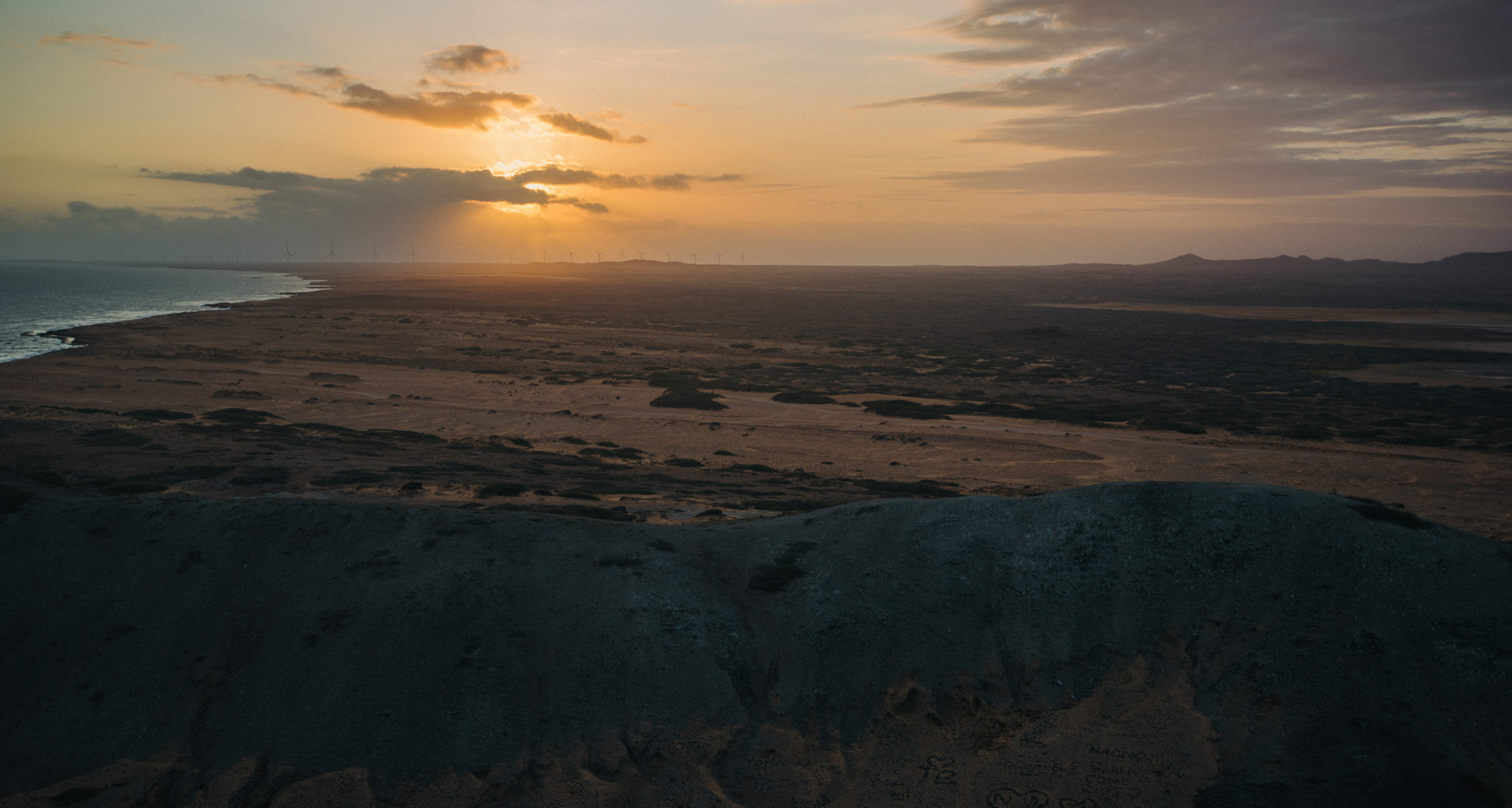
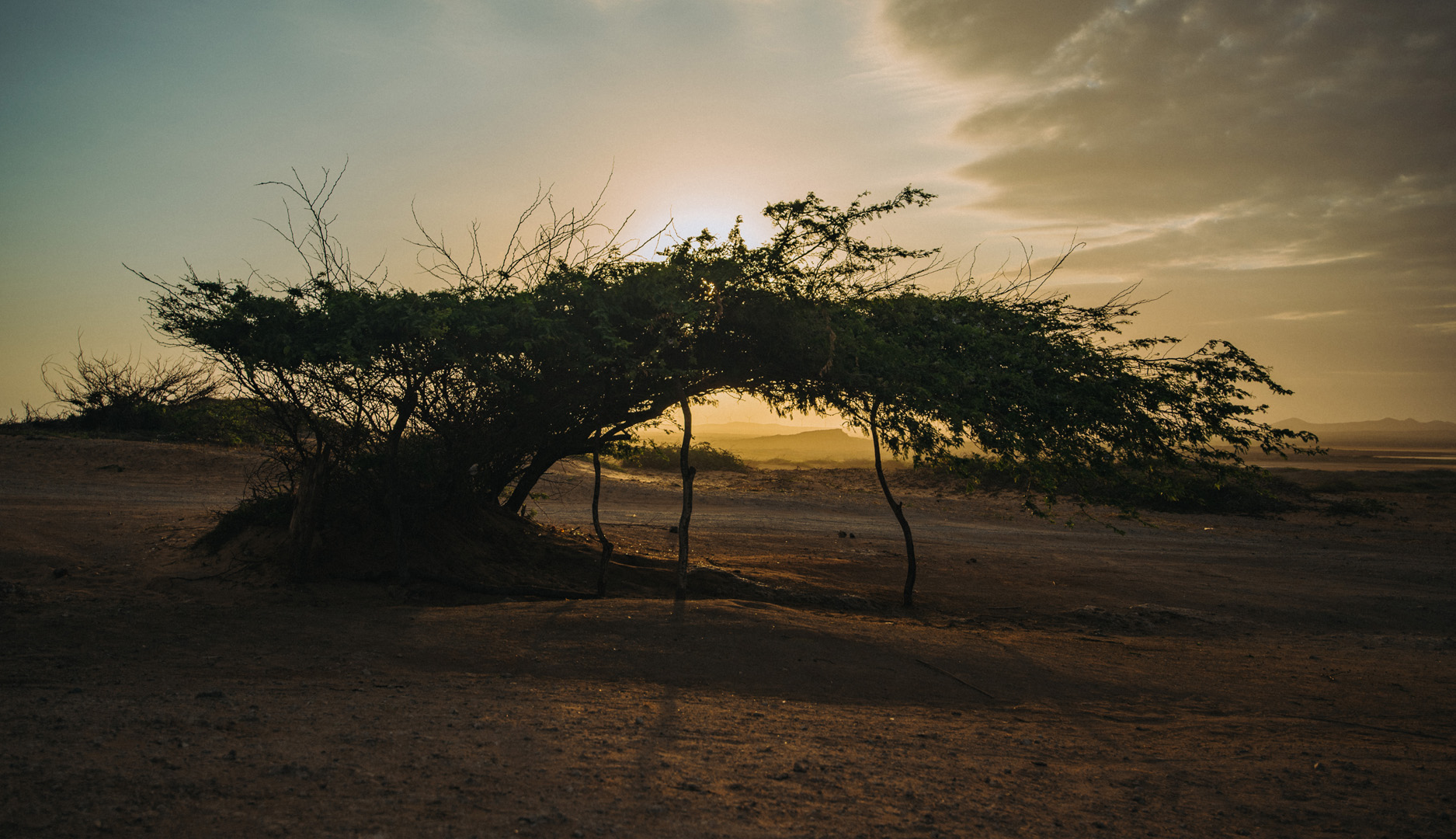
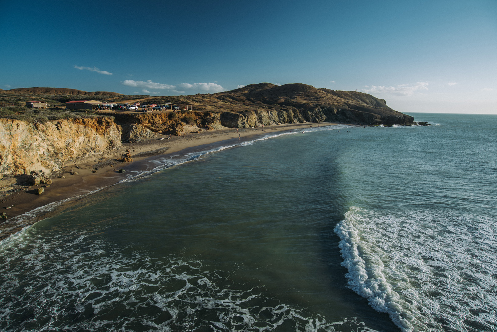
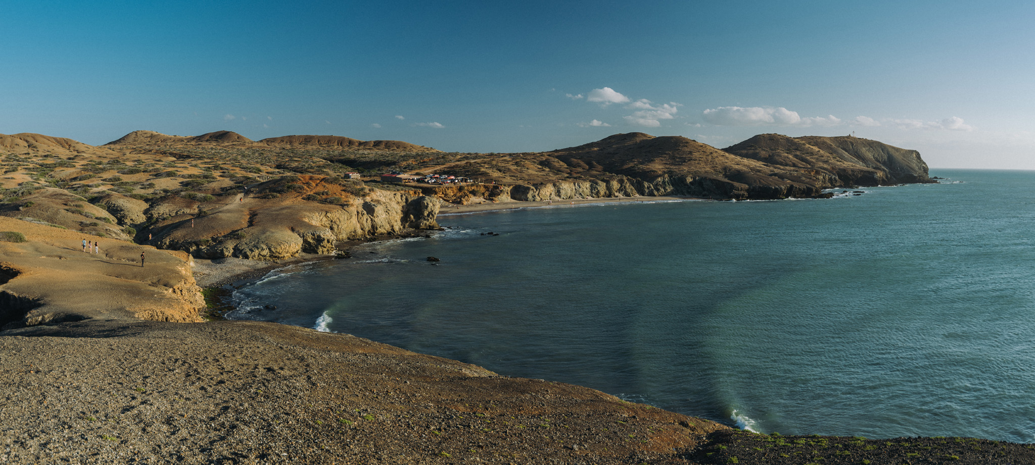
La Guajira is a region and peninsula in northern Colombia, at the border with Venezuela. The first place where tourists go is the village of Cabo de la Vela (12°11’45″ N 72°08’48″W) from where tourists can go further.
View on the Ojo de Agua beach (12°12’50″ N 72°10’39″W) and El Faro de Cabo de la Vela lighthouse (12°12’35″ N 72°10’45″W, barely visible on the picture) on nearby peninsula.
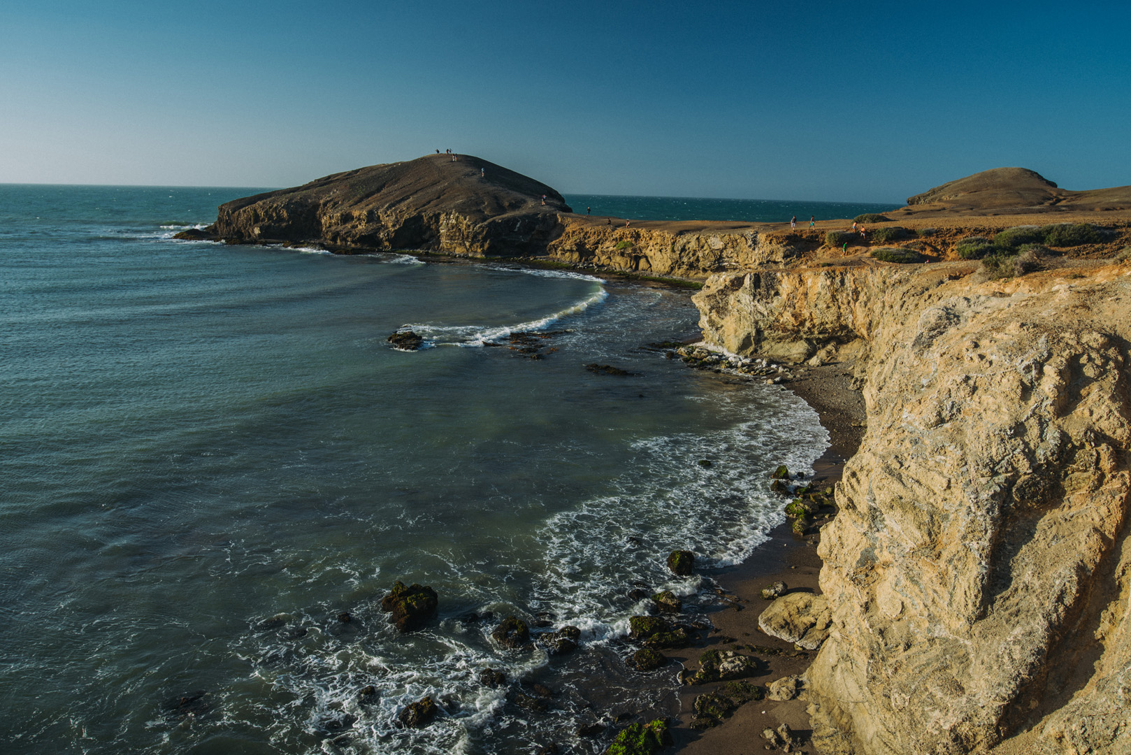
View on Piedra Tortuga peninsula (12°12’59″ N 72°10’42″W) from the same place. Does it look like a turtle?
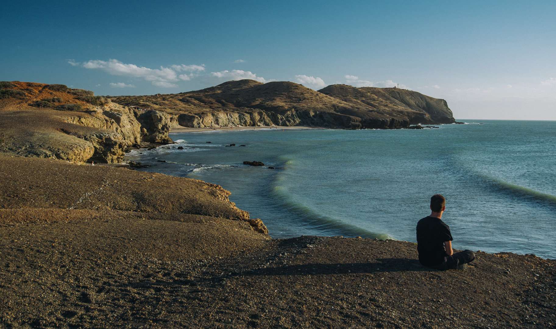
Ojo de Agua beach and El Faro de Cabo de la Vela seen from the isthmus of Piedra Tortuga.
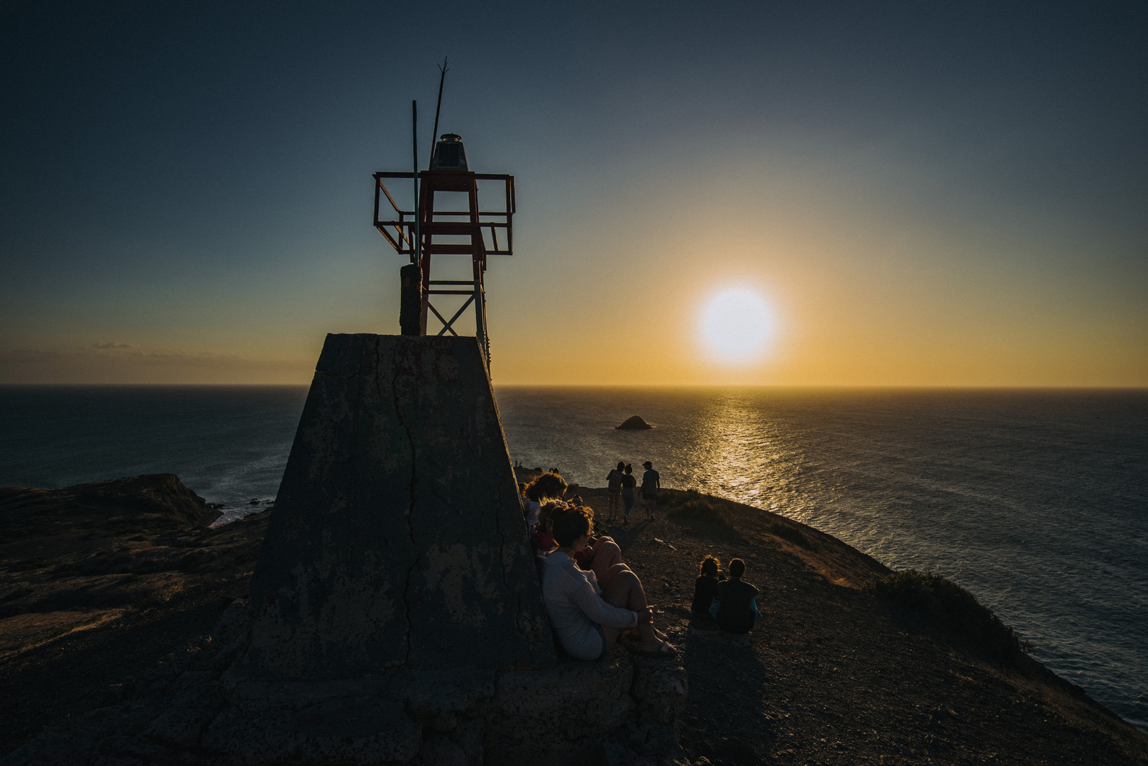
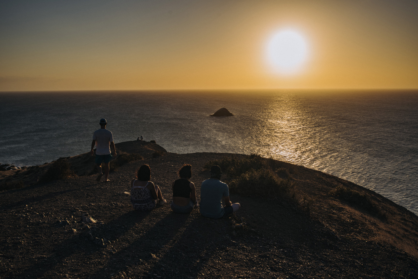
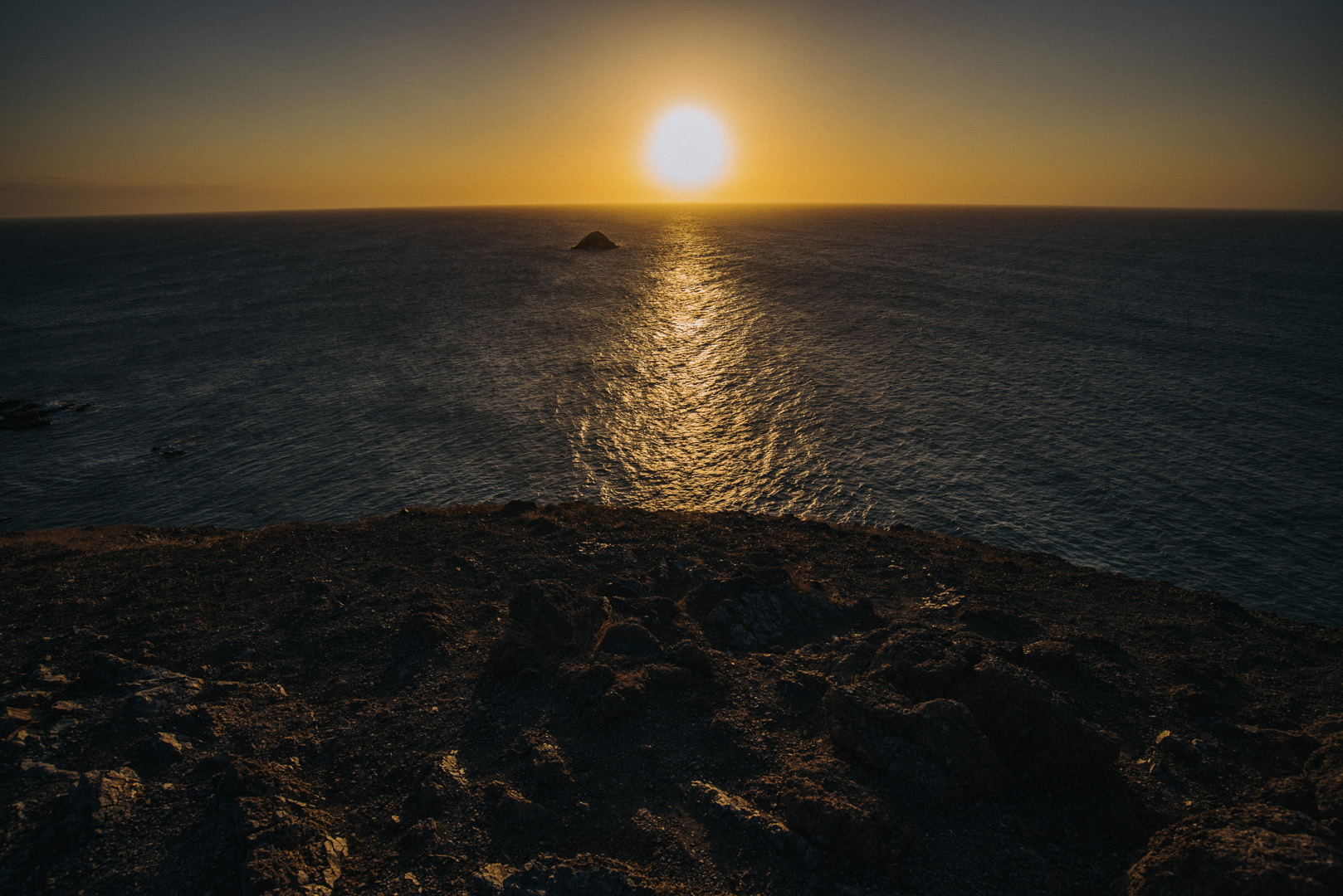
Sunset on El Faro de Cabo de la Vela.
Sunrise on Pilon de Azucar (12°14’18″ N 72°08’34″W).