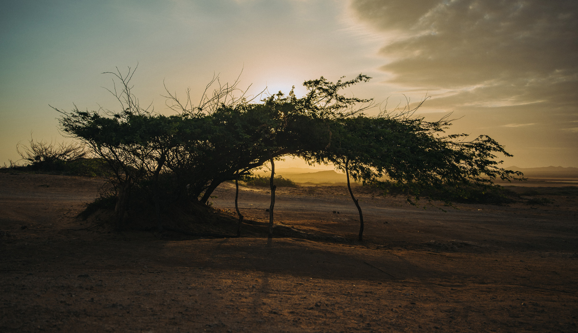
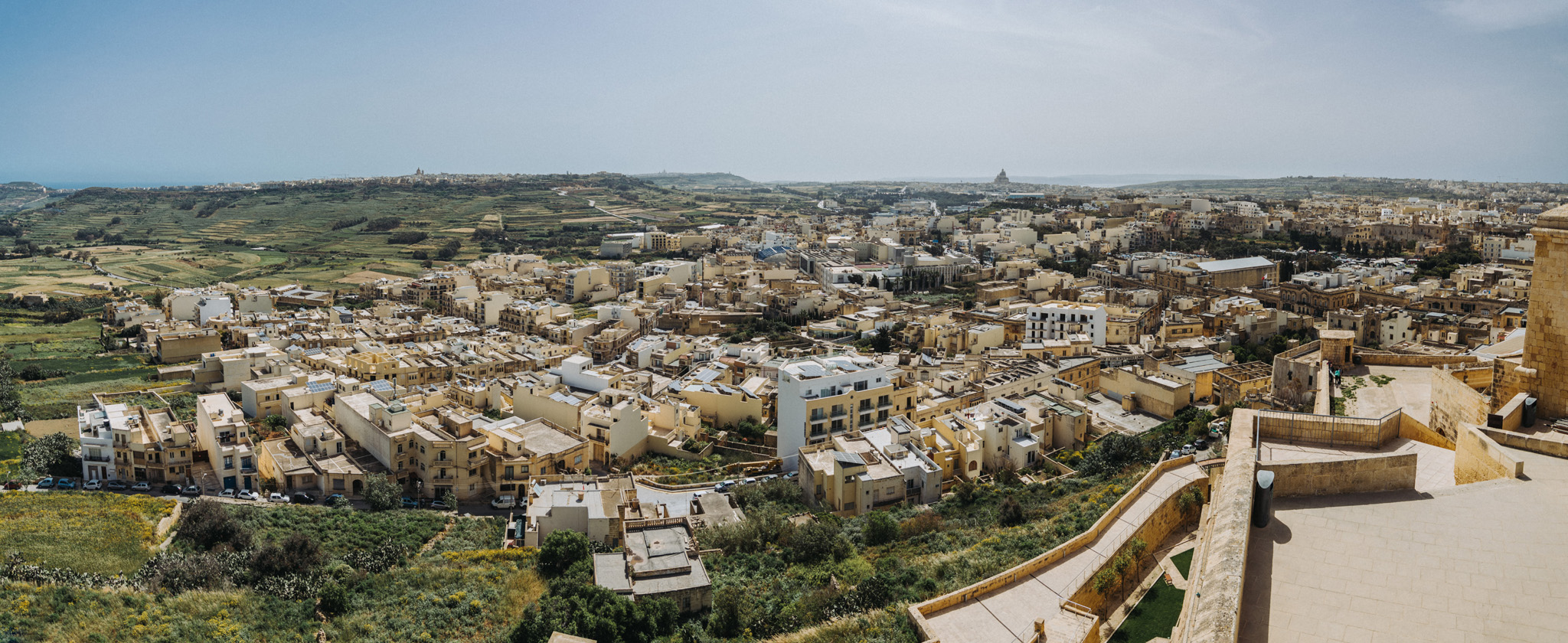
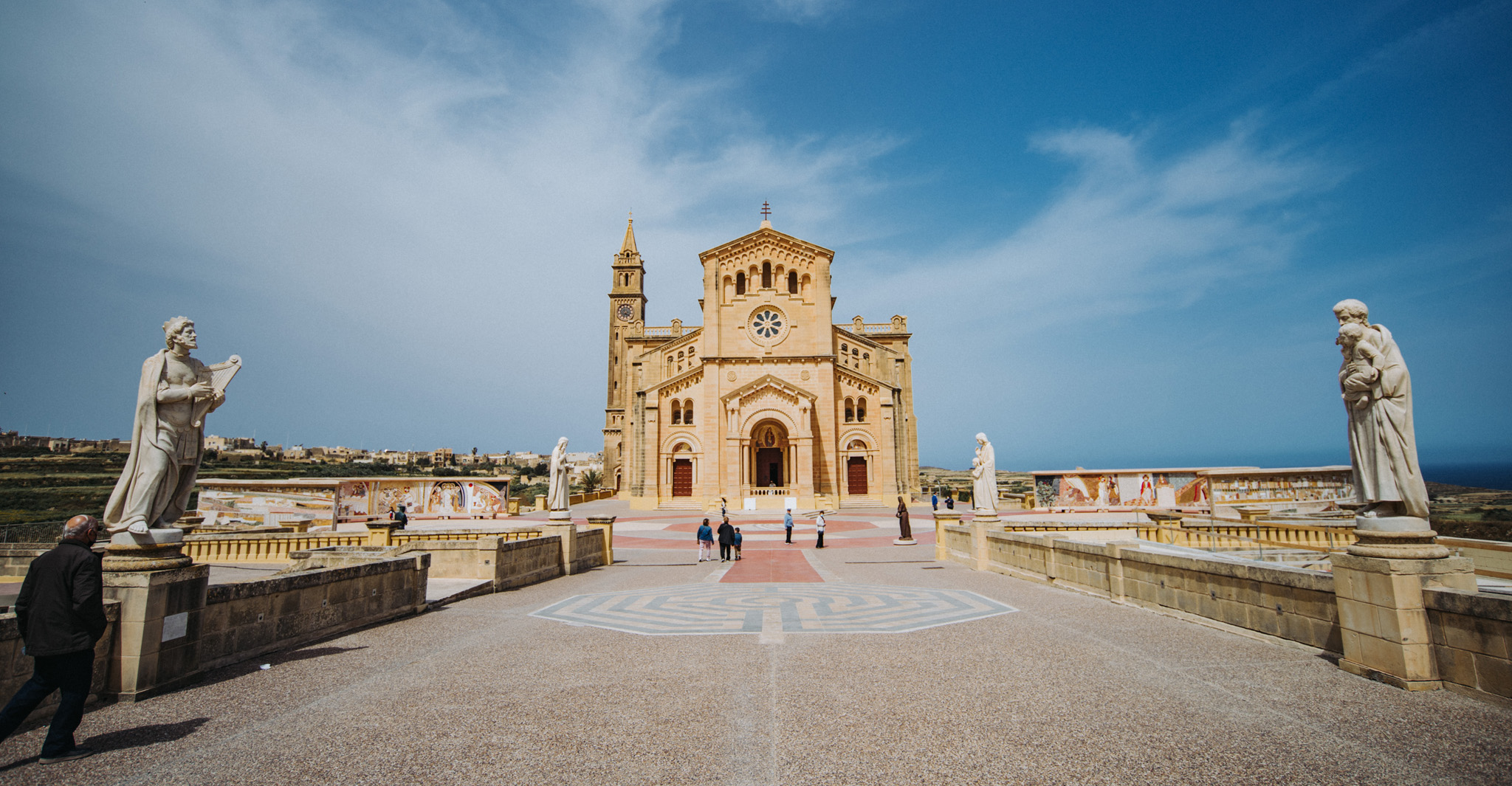
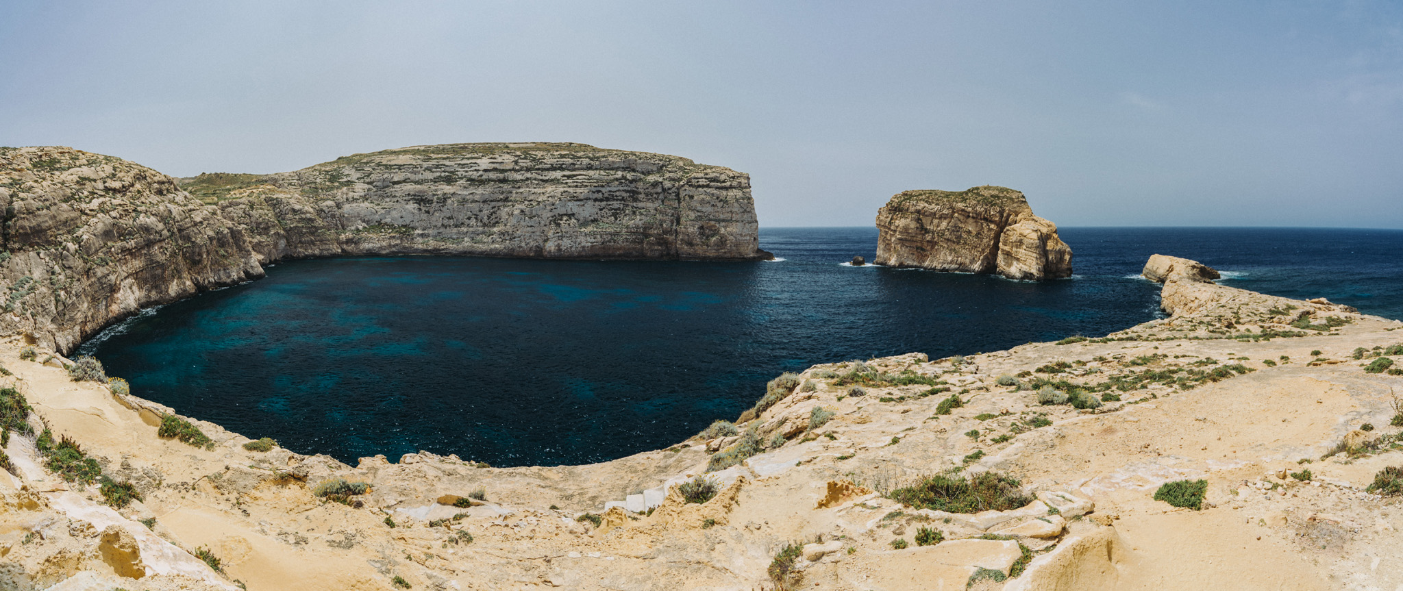
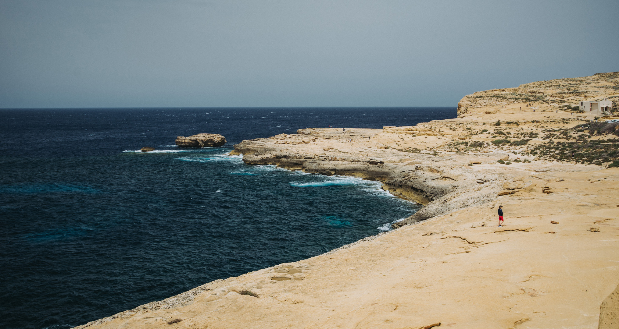
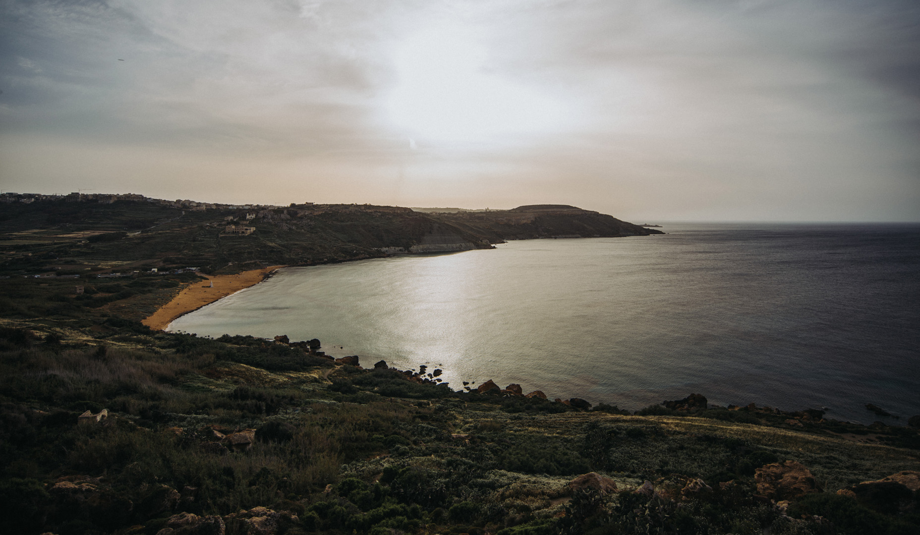
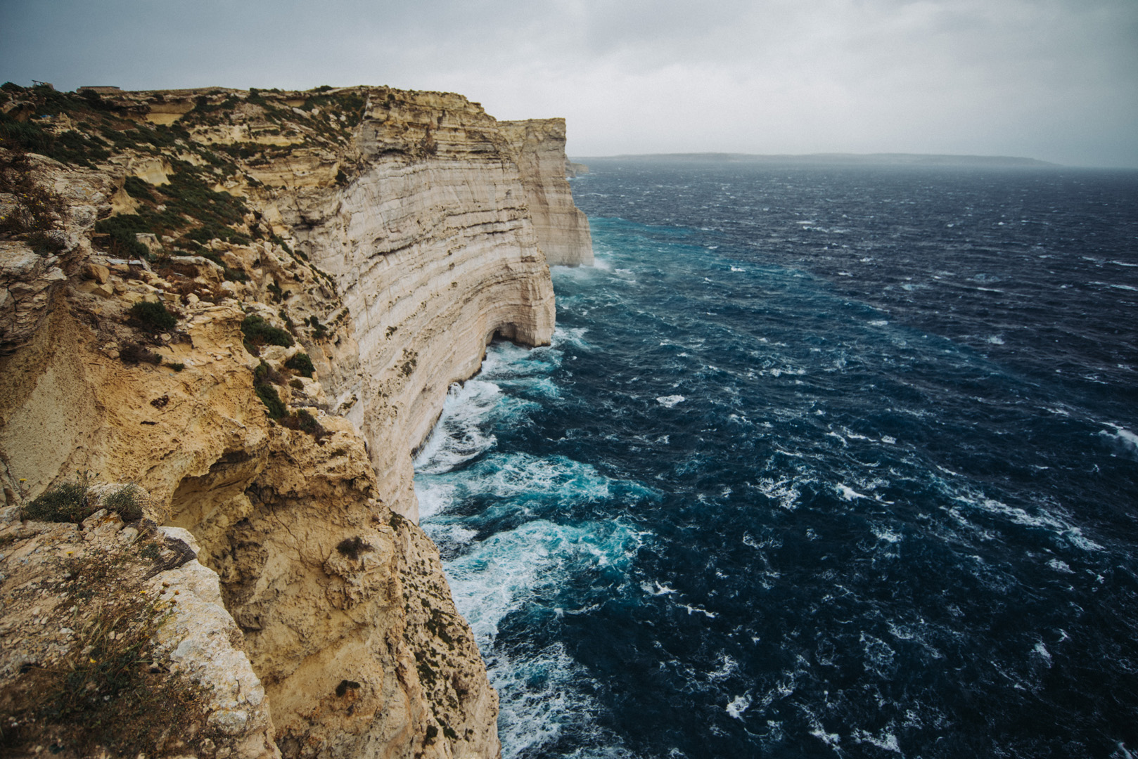
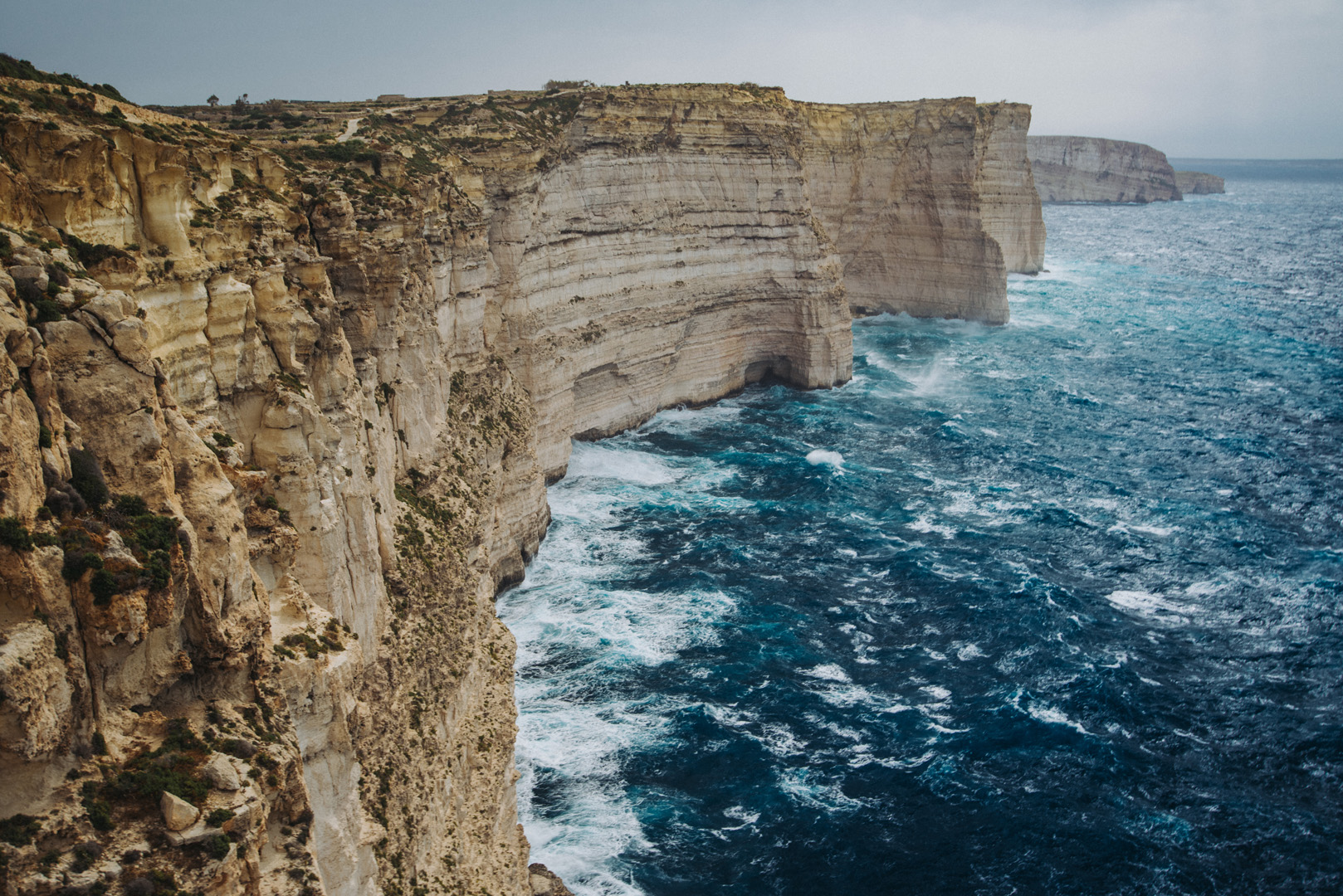
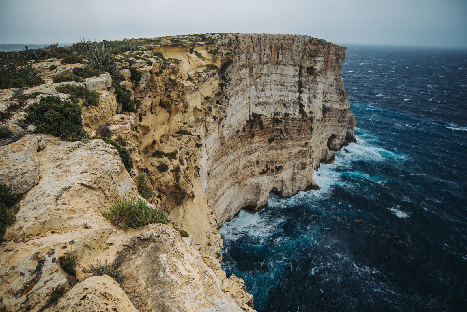
Landscape

La Guajira

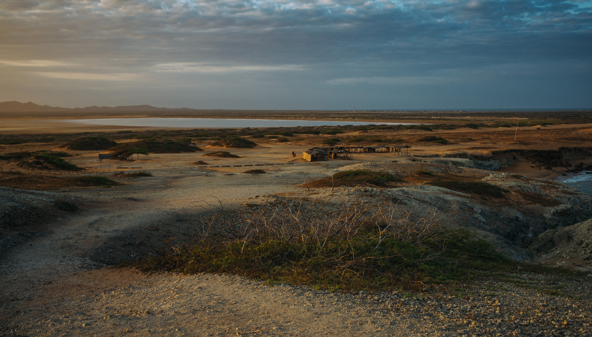
La Guajira is a region and peninsula in northern Colombia, at the border with Venezuela. The first place where tourists go is the village of Cabo de la Vela (12°11’45″ N 72°08’48″W) from where tourists can go further.

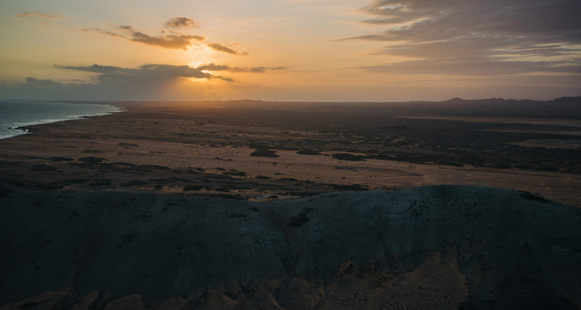
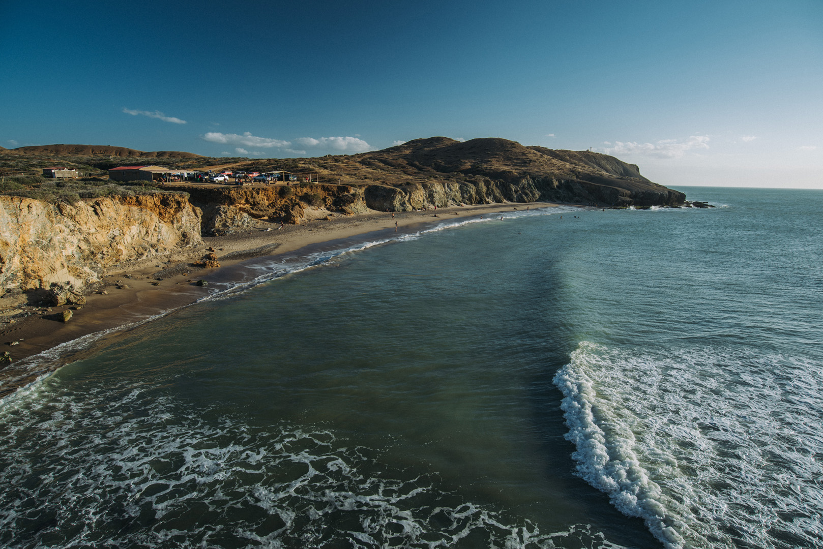
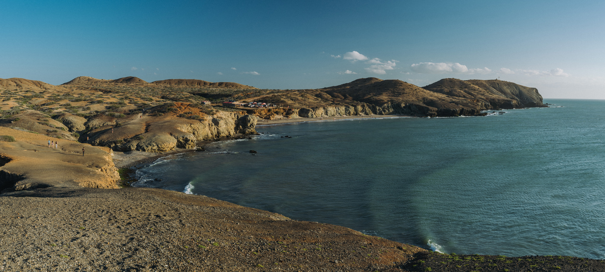
View on the Ojo de Agua beach (12°12’50″ N 72°10’39″W) and El Faro de Cabo de la Vela lighthouse (12°12’35″ N 72°10’45″W, barely visible on the picture) on nearby peninsula.

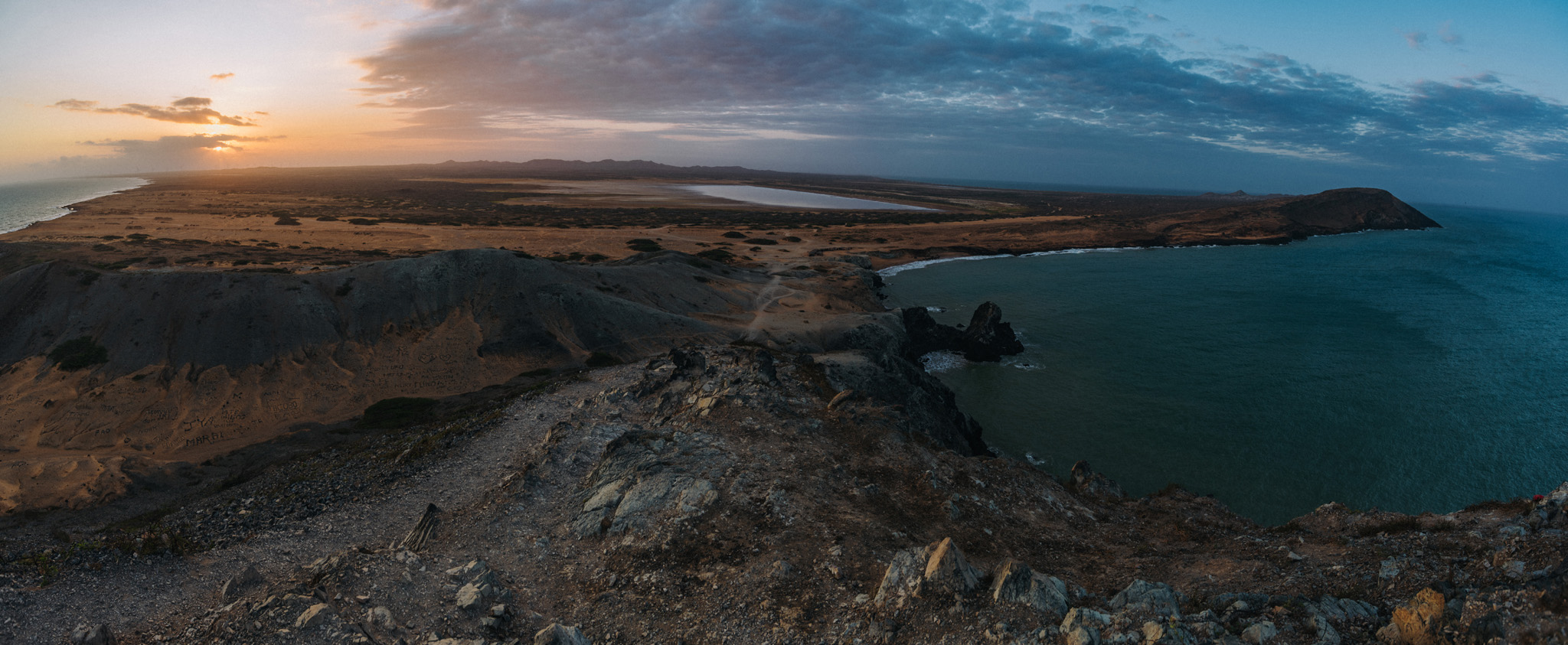
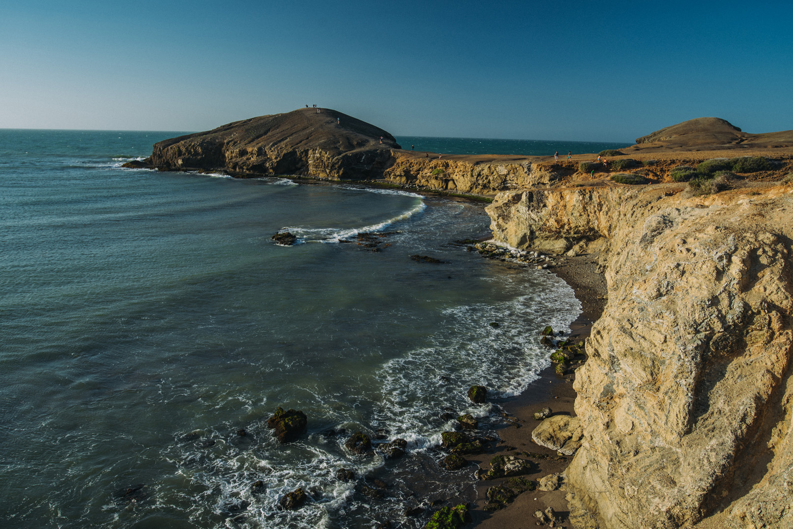
View on Piedra Tortuga peninsula (12°12’59″ N 72°10’42″W) from the same place. Does it look like a turtle?

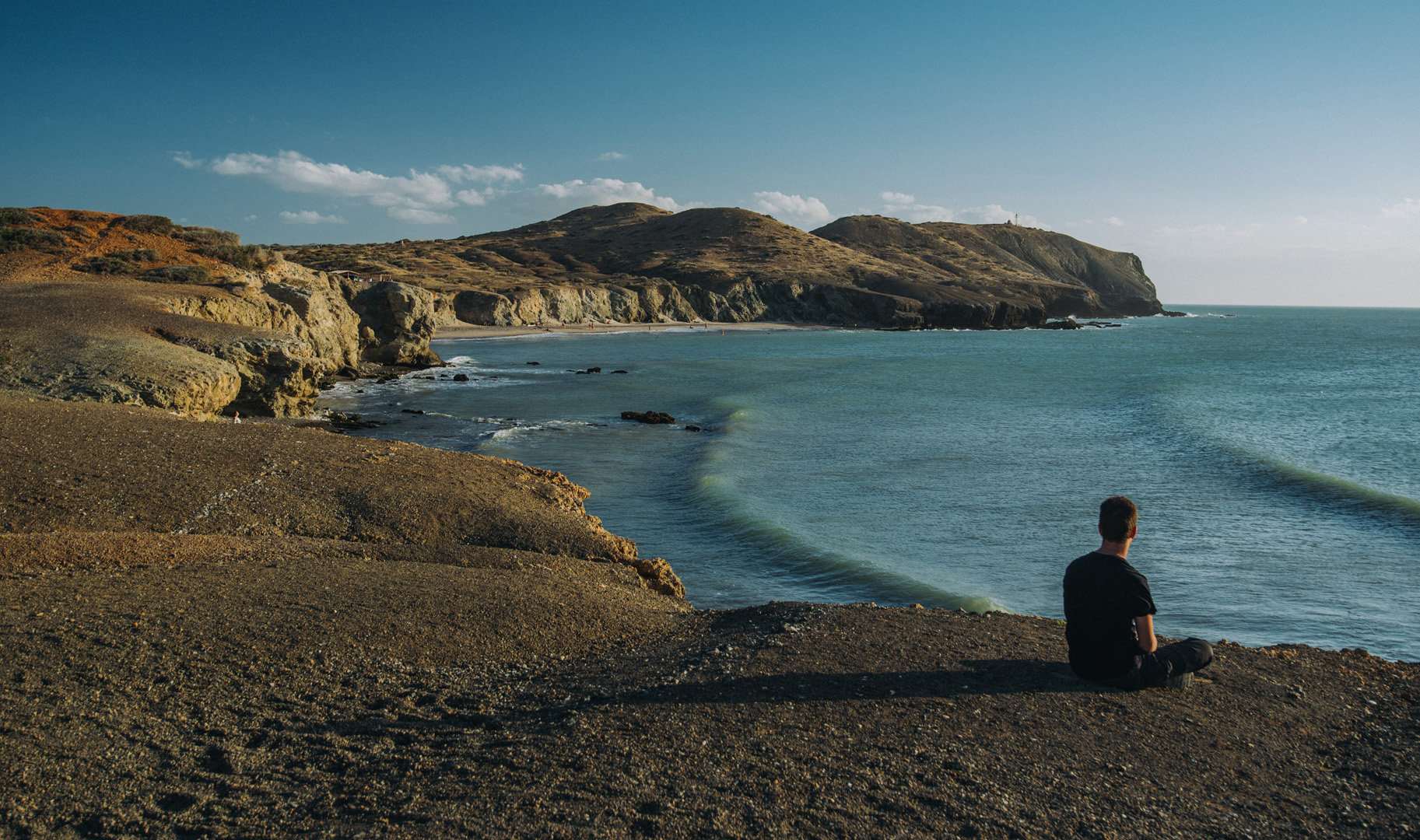
Ojo de Agua beach and El Faro de Cabo de la Vela seen from the isthmus of Piedra Tortuga.

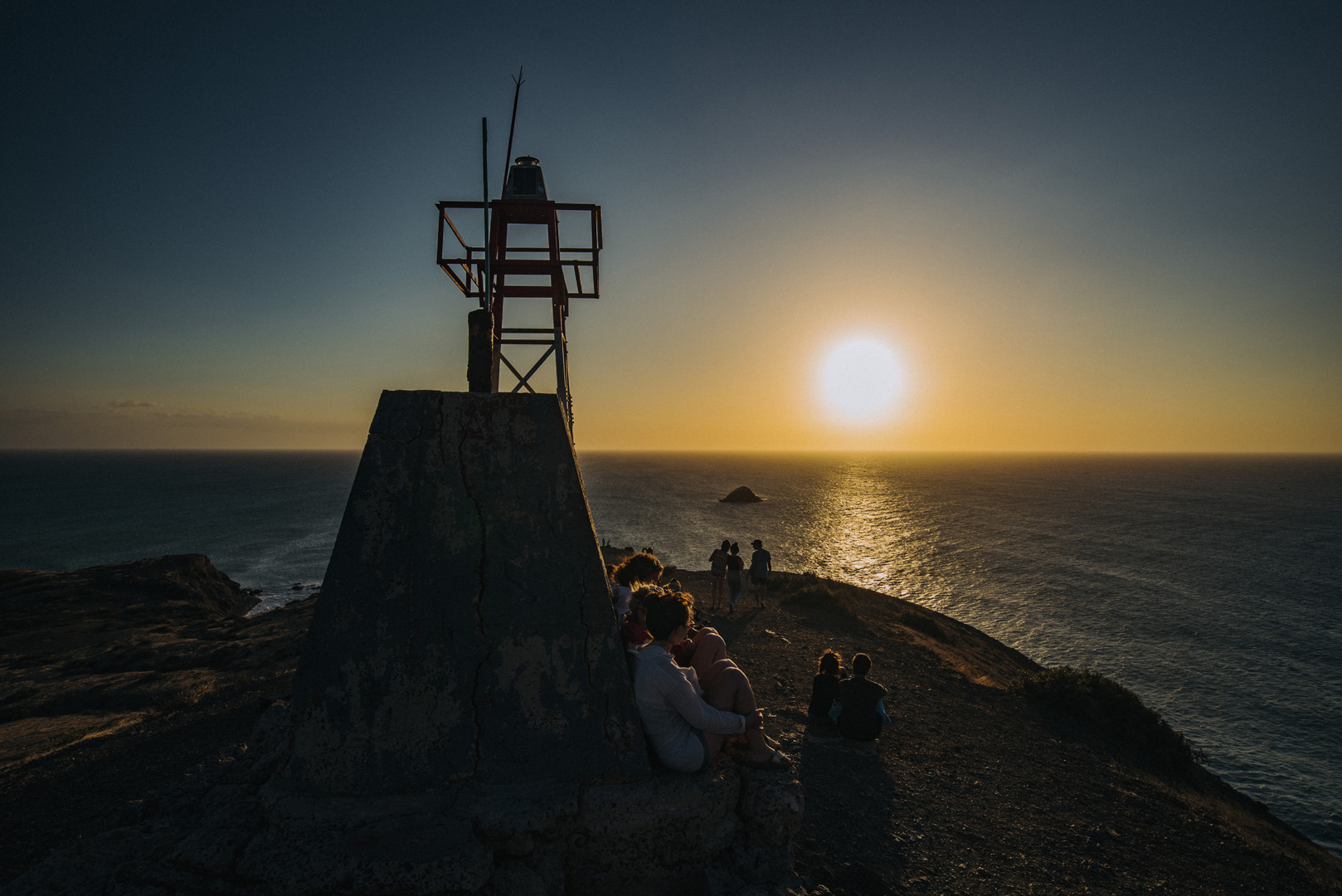
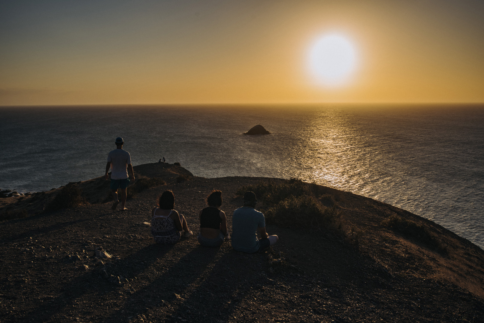
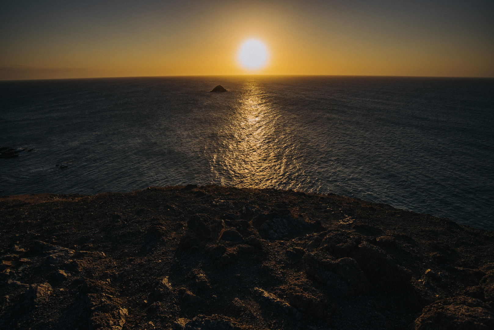
Sunset on El Faro de Cabo de la Vela.

Sunrise on Pilon de Azucar (12°14’18″ N 72°08’34″W).

Landscape

Gozo

Gozo is the second biggest island on Malta, it has about 35 000 inhabitants.

Basilica di San Giorgio (36°02’38″ N 14°14’21″E) in Victoria.

View from Citadella (36°02’47″ N 14°14’22″E) in Victoria.

Ta’ Pinu Basilica (36°03’43″ N 14°12’54″E).

Dwejra Bay (36°02’49″ N 14°11’27″E) seen from around Dwejra tower (36°02’58″ N 14°11’31″E), the rock on the right side is called Fungus Rock (36°02’48″ N 14°11’20″E).

View from around Dwejra tower onto what was once Blue Hole.

Wied il-Mielaħ (36°04’46″ N 14°12’46″E).

View from Giordan Lighthouse (36°04’20″ N 14°13’06″E) to the south. The highest hill on the picture (on the left side) is the Ta’ Għammar Hill (36°03’33″ N 14°13’12″E) and just on its right side there is visible Ta’ Pinu Basilica.

View onto Ramla Bay (36°03’41″ N 14°17’03″E) from viewpoint near Calypso Cave (36°03’38″ N 14°16’46″E).

View onto Ramla Bay from Tal-Mixta Cave (36°03’48″ N 14°17’22″E).

Sanap Cliffs Sunset (36°01’15″ N 14°13’21″E).

Ta’ Ċenċ cliffs (36°01’05″ N 14°15’09″E).

Rotunda of Xewkija (36°01’54″ N 14°15’40″E).

Mġarr ix-Xini beach and bay (36°01’13″ N 14°16’16″E).

View on Mġarr ix-Xini bay from Mġarr ix-Xini Tower (36°01’02″ N 14°16’28″E).

View on San Filip Beach (36°03’00″ N 14°18’52″E).

Travels

Lighthouse at Nowy Port

Build in years 1893-1894, this lighthouse is 31,3 m tall, the observation deck, available for tourists, is one level below the actual light.

It’s located in district Nowy Port, at 54°24’23” N 18°39’40” E,
The monument of Coast Defenders is just at the other side of Vistula river.

At the top of lighthouse you can see a time bowl – until time was started to be broadcasted by radio signals, it was used to adjust ship chronometers. Exactly at 13:00 (or noon in United States) the ball was dropped from top position.

Today the ball is dropped at 10:00, 12:00, 14:00, 16:00 and 18:00, so more tourists can observe this.

Inside lighthouse there are just spiral stairs until you reach the top.

At the top level you can see the source of lighthouse light – strong lightbulb
flashing every few seconds (but the light is weak, nowadays it’s just for demonstration purposes).

One level below is observation deck.

Northern view: you can see end of Martwa Wisła (literally “dead Vistula”), an old Vistula riverbed, now just a channel.

Eastern view, you can see Martwa Wisła. In the center-left part of picture you can see The monument of Coast Defenders.

South-east view.

Western view: you can see mostly harbor area with thousands of cars.