 Fashion
Landscape
Fashion
Fashion
Landscape
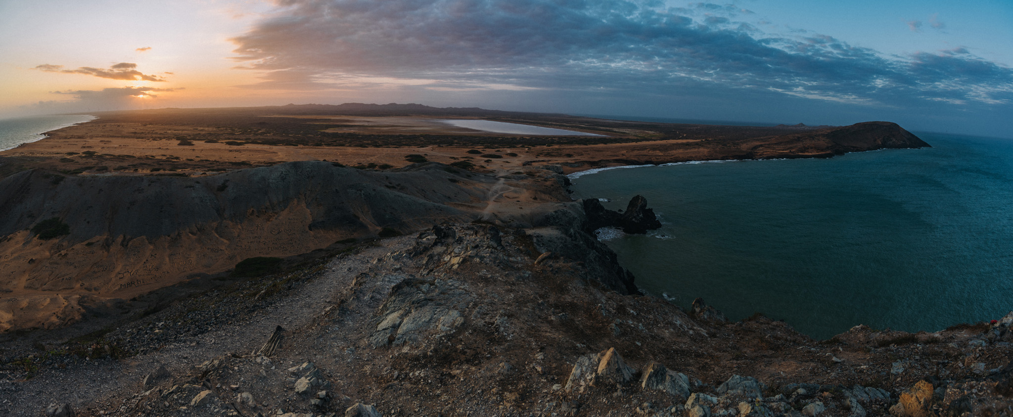
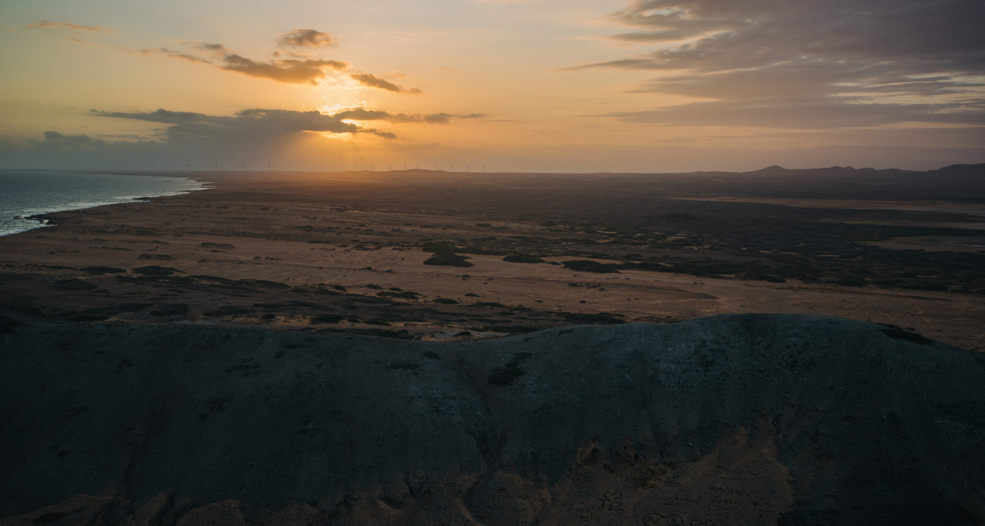
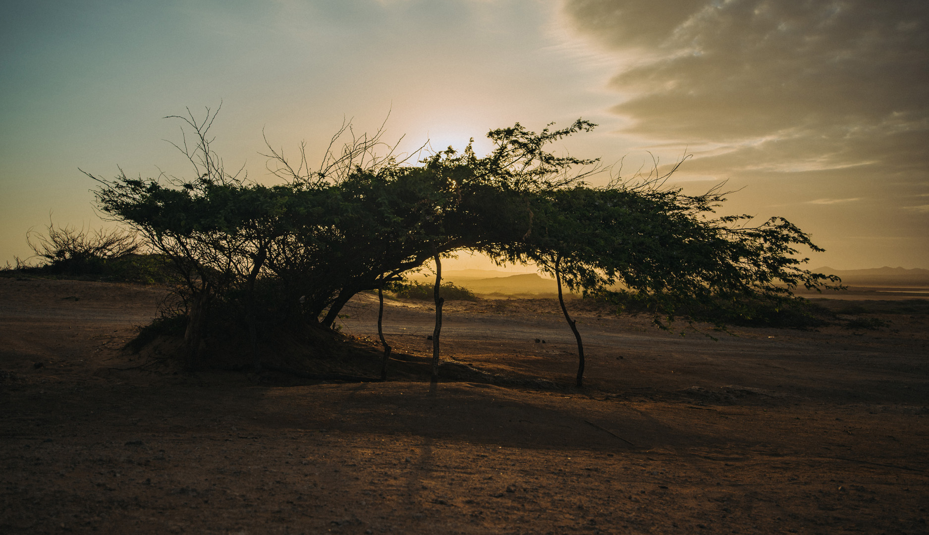
La Guajira is a region and peninsula in northern Colombia, at the border with Venezuela. The first place where tourists go is the village of Cabo de la Vela (12°11’45″ N 72°08’48″W) from where tourists can go further.
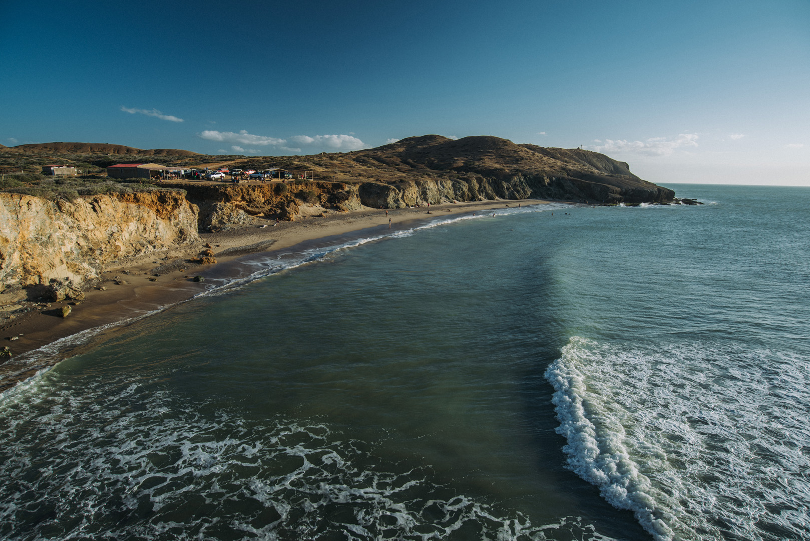
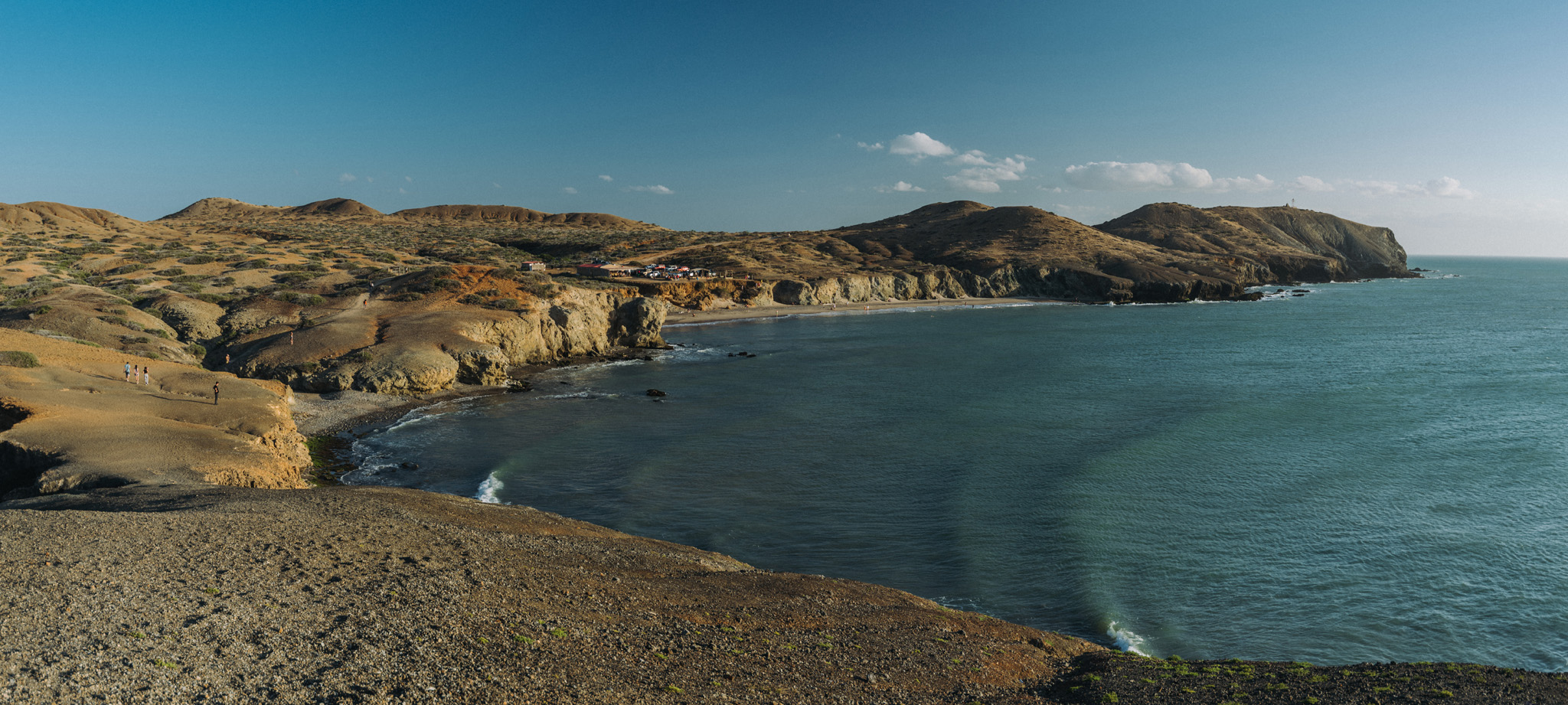
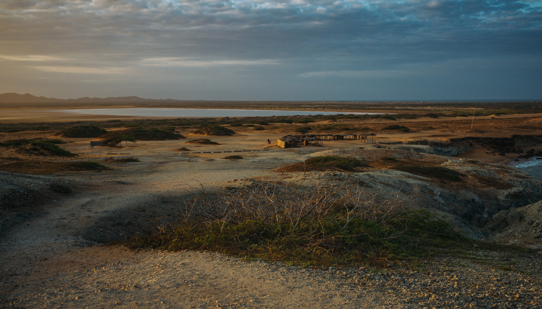
View on the Ojo de Agua beach (12°12’50″ N 72°10’39″W) and El Faro de Cabo de la Vela lighthouse (12°12’35″ N 72°10’45″W, barely visible on the picture) on nearby peninsula.
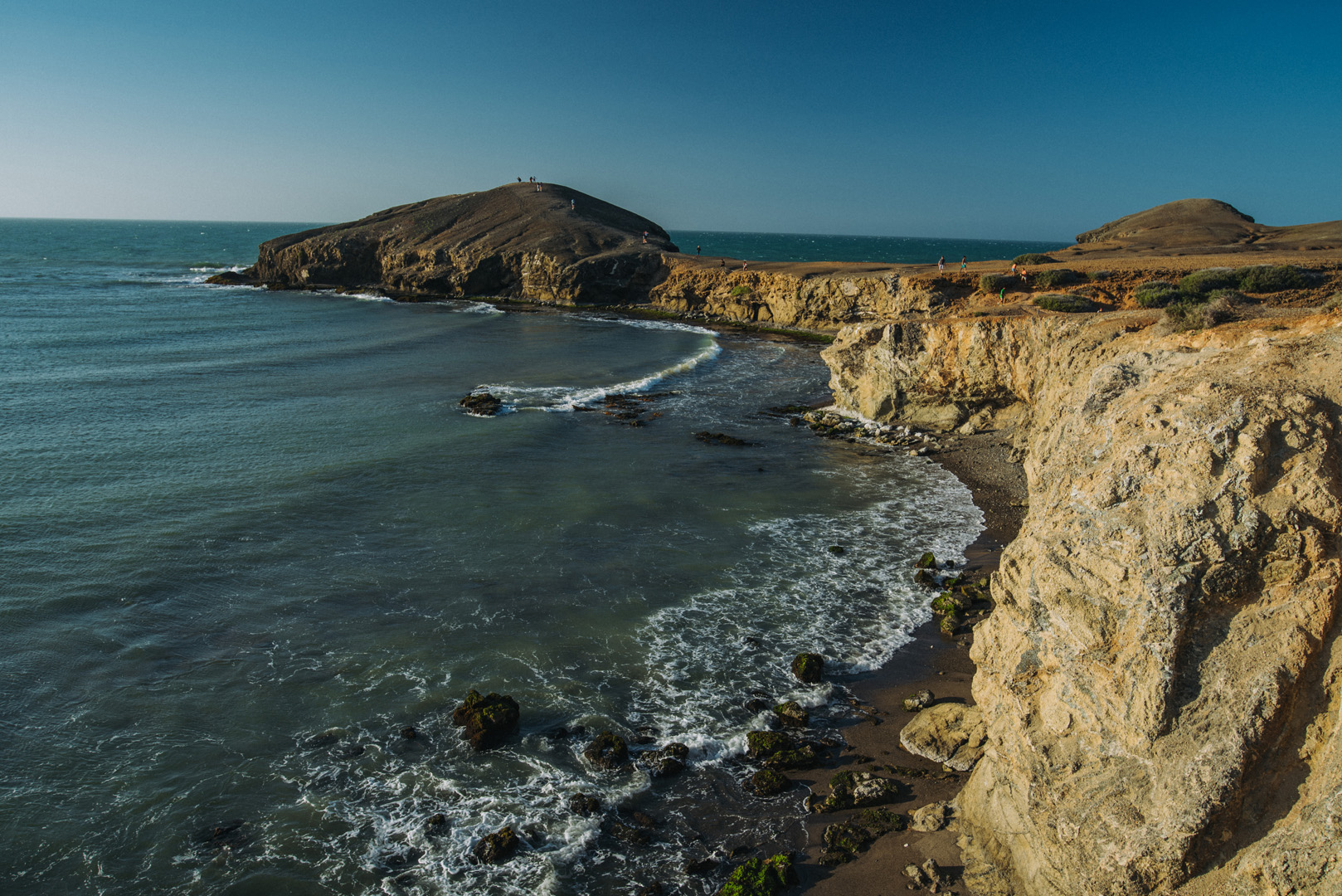
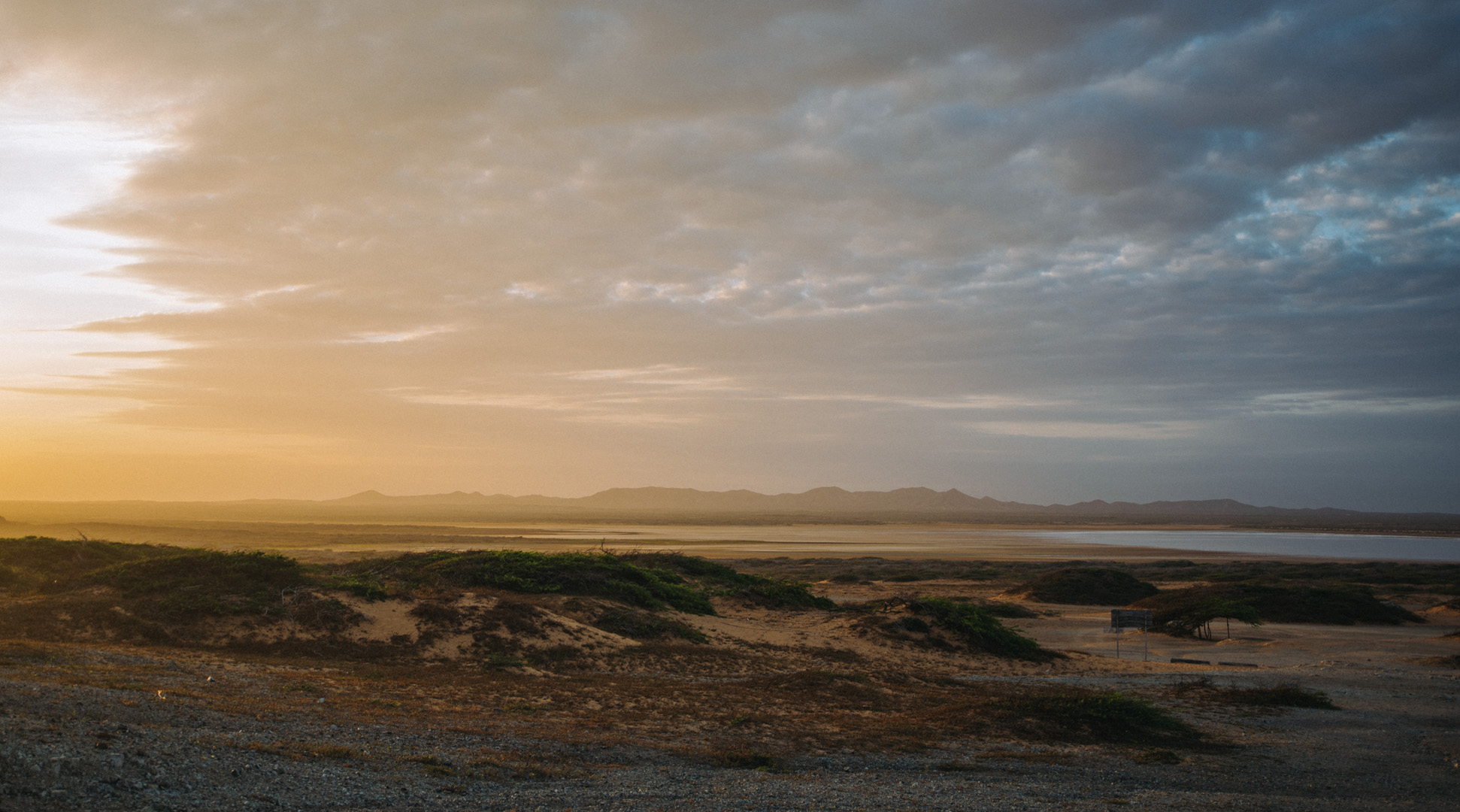
View on Piedra Tortuga peninsula (12°12’59″ N 72°10’42″W) from the same place. Does it look like a turtle?
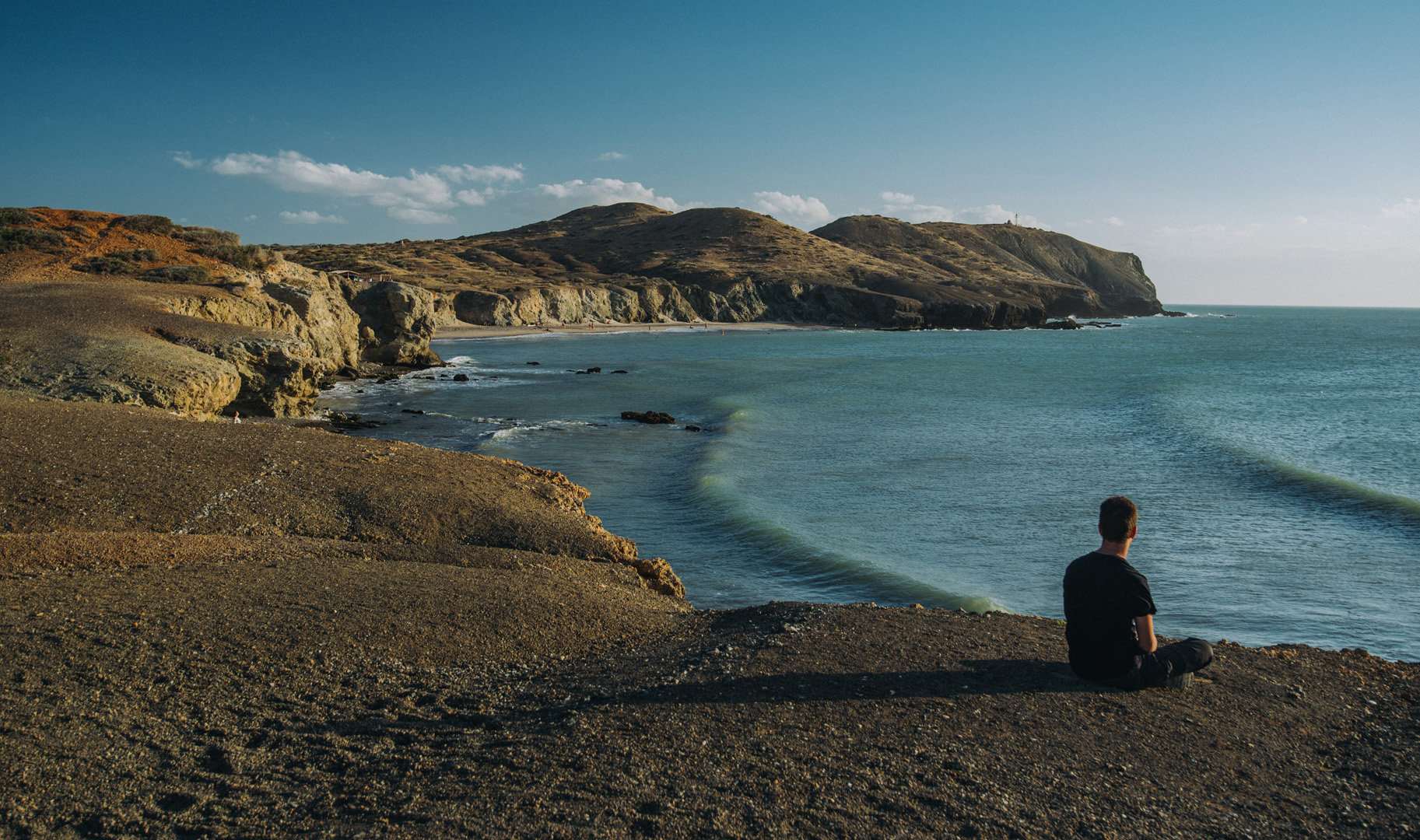
Ojo de Agua beach and El Faro de Cabo de la Vela seen from the isthmus of Piedra Tortuga.
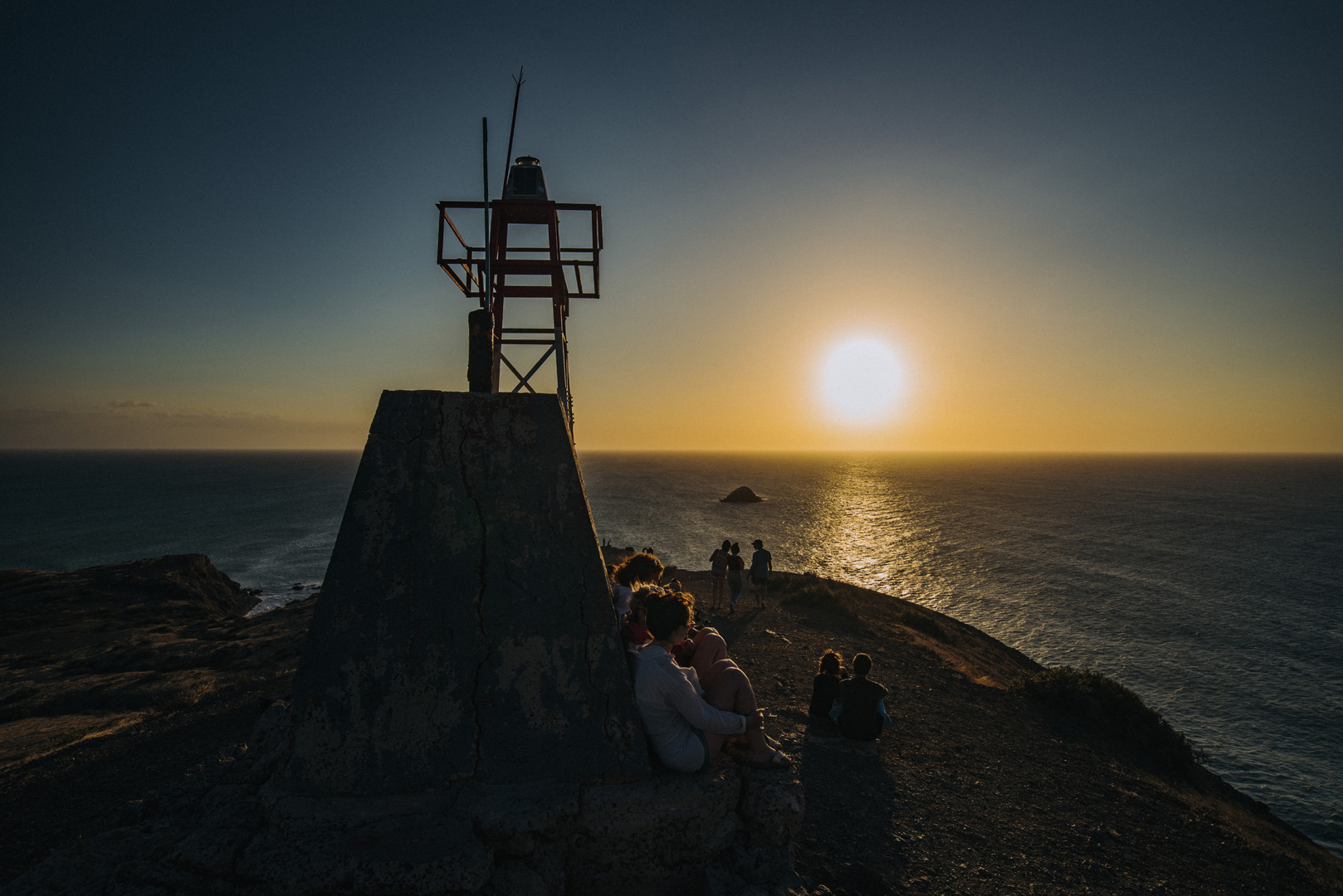
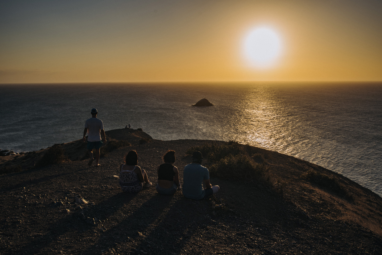
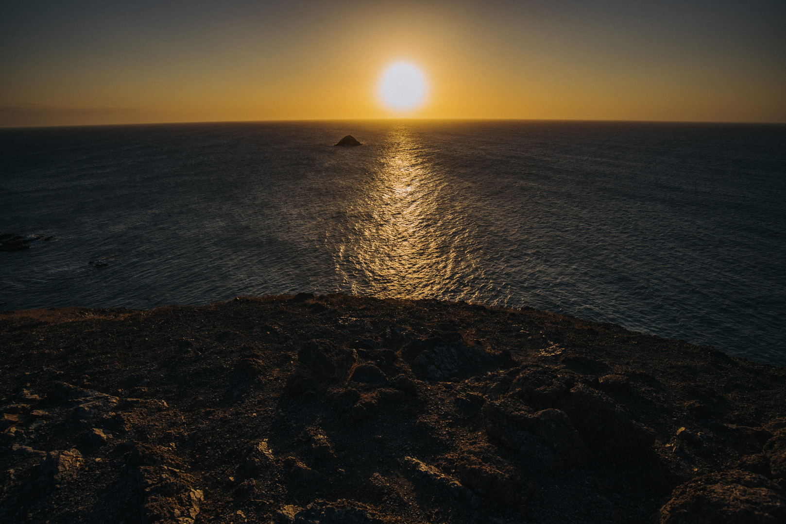
Sunset on El Faro de Cabo de la Vela.
Sunrise on Pilon de Azucar (12°14’18″ N 72°08’34″W).
 Landscape
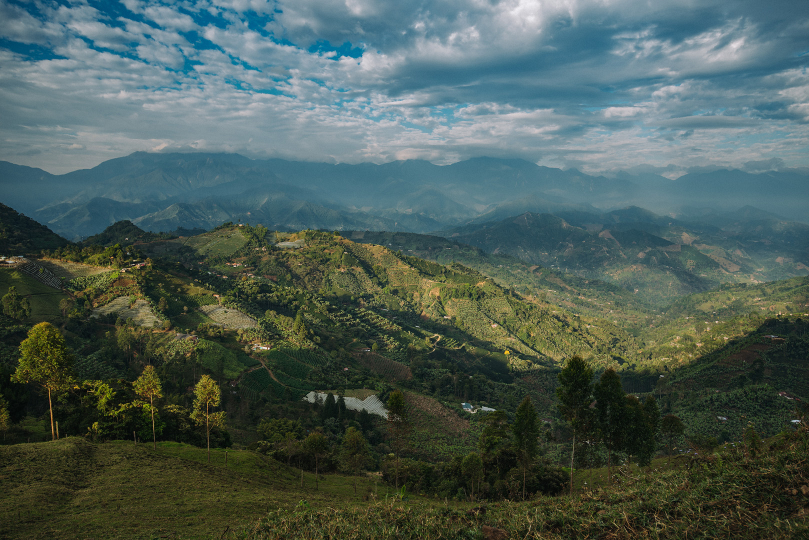
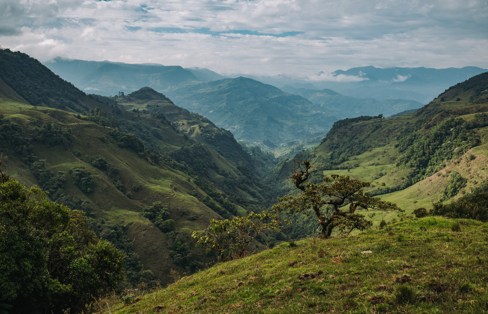
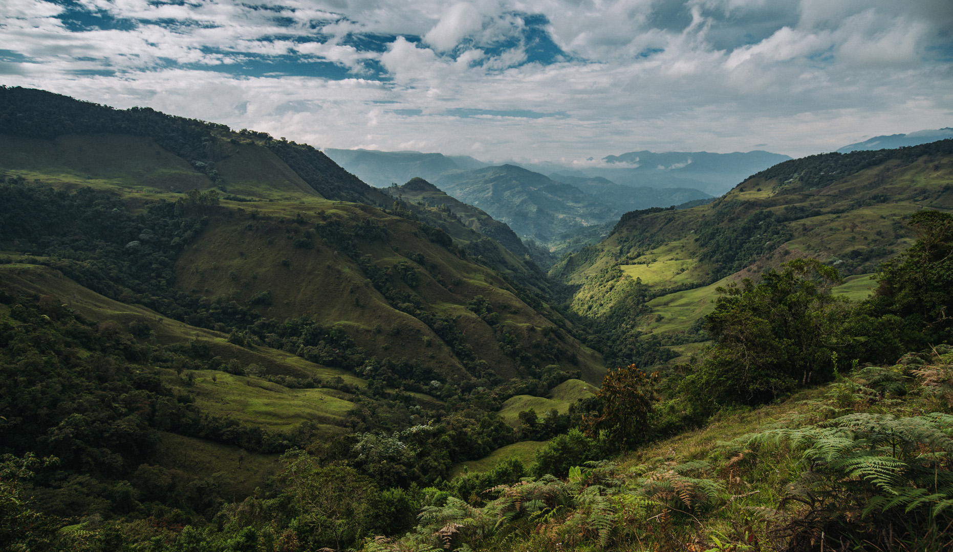
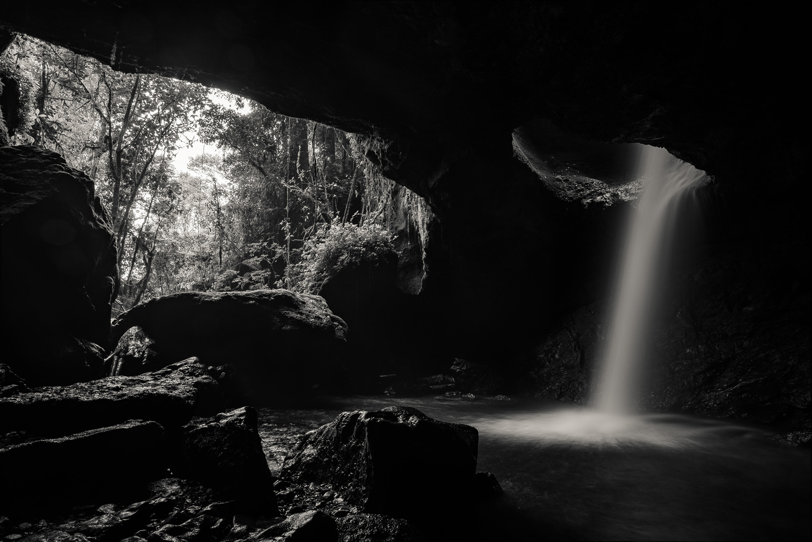
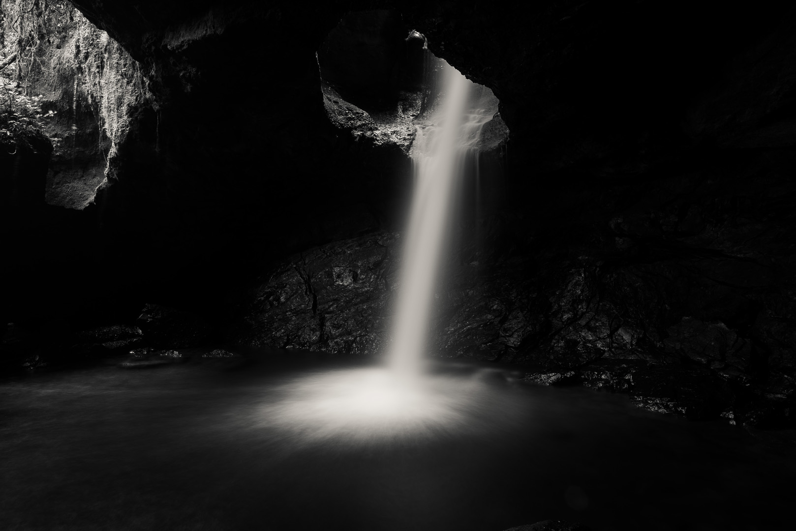
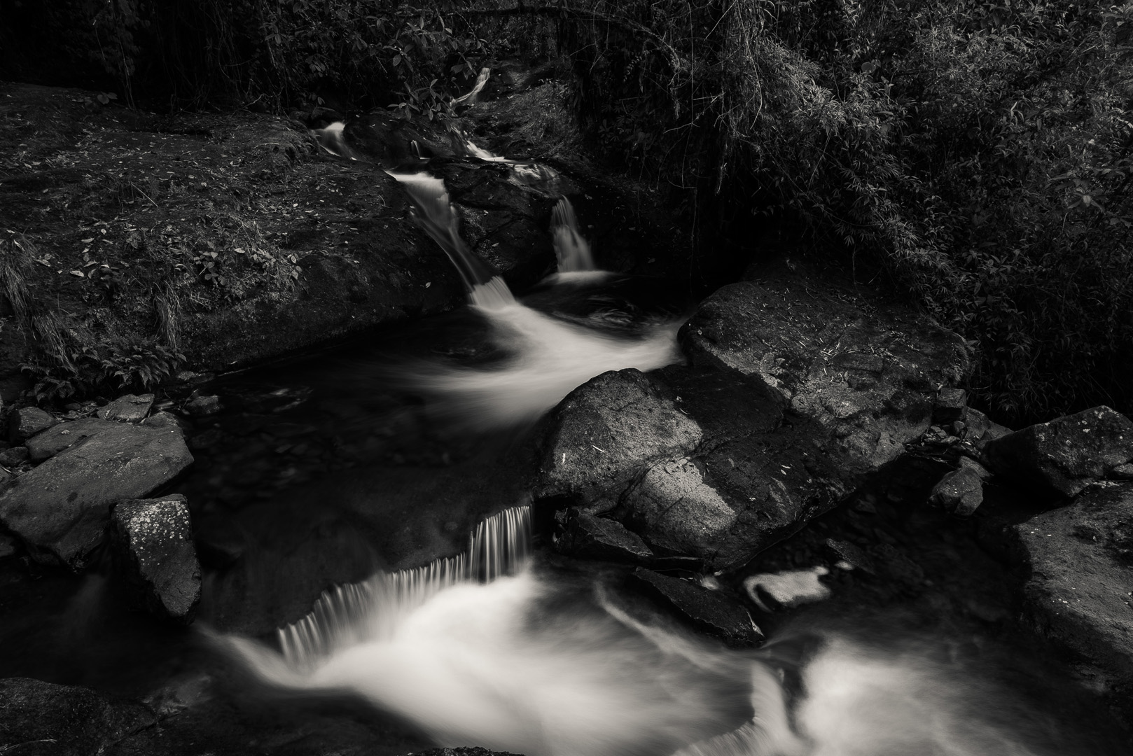
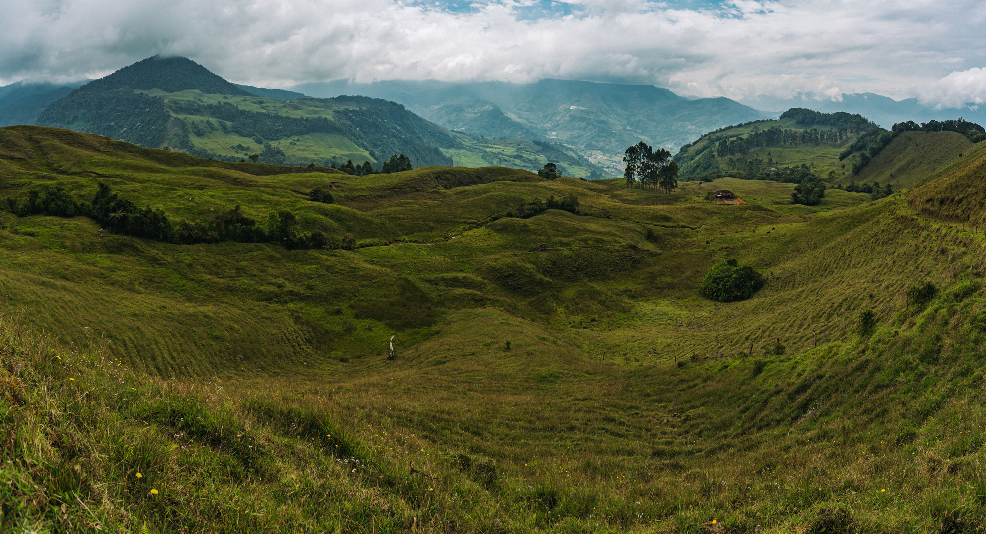
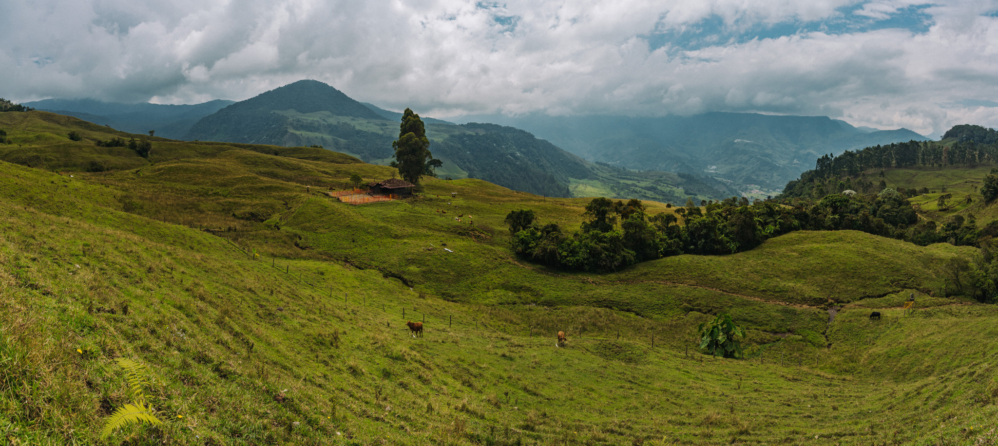
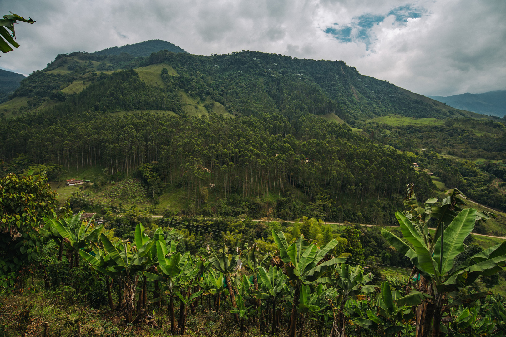
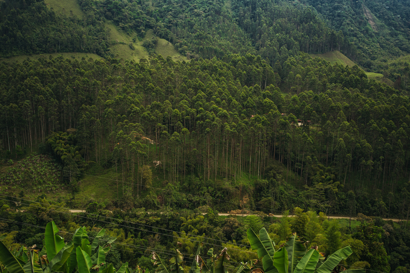
Cueva del Esplendor (5°38’24″ N 75°48’35″W) is a cave with a small waterfall inside; it’s located a few kilometers from Jardín (5°35’56″ N 75°49’08″W). But perhaps even better than the cave itself are the views on trails towards the cave. There are two trails, part of one of them you can go on a mototaxi from the city.
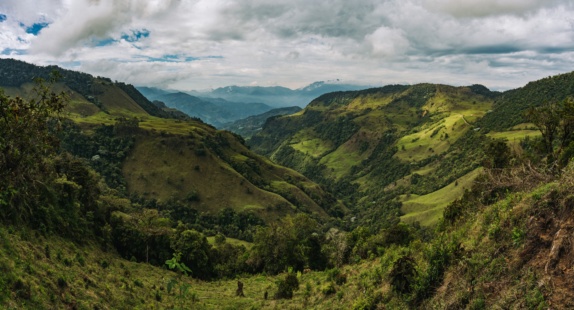
More or less 5°37’18″ N 75°49’42″W, shortly after depart from mototaxi, on the western trail, you need to go by foot the rest of the trail.
Cueva del Esplendor is on private ground and you need to pay to enter. Payment is made at the house, where two trails meet (5°38’33″ N 75°48’29″W) and from there is a short walk towards the cave. I was there shortly after 8:00 and I was alone. Next person arrived shortly after 9:00.
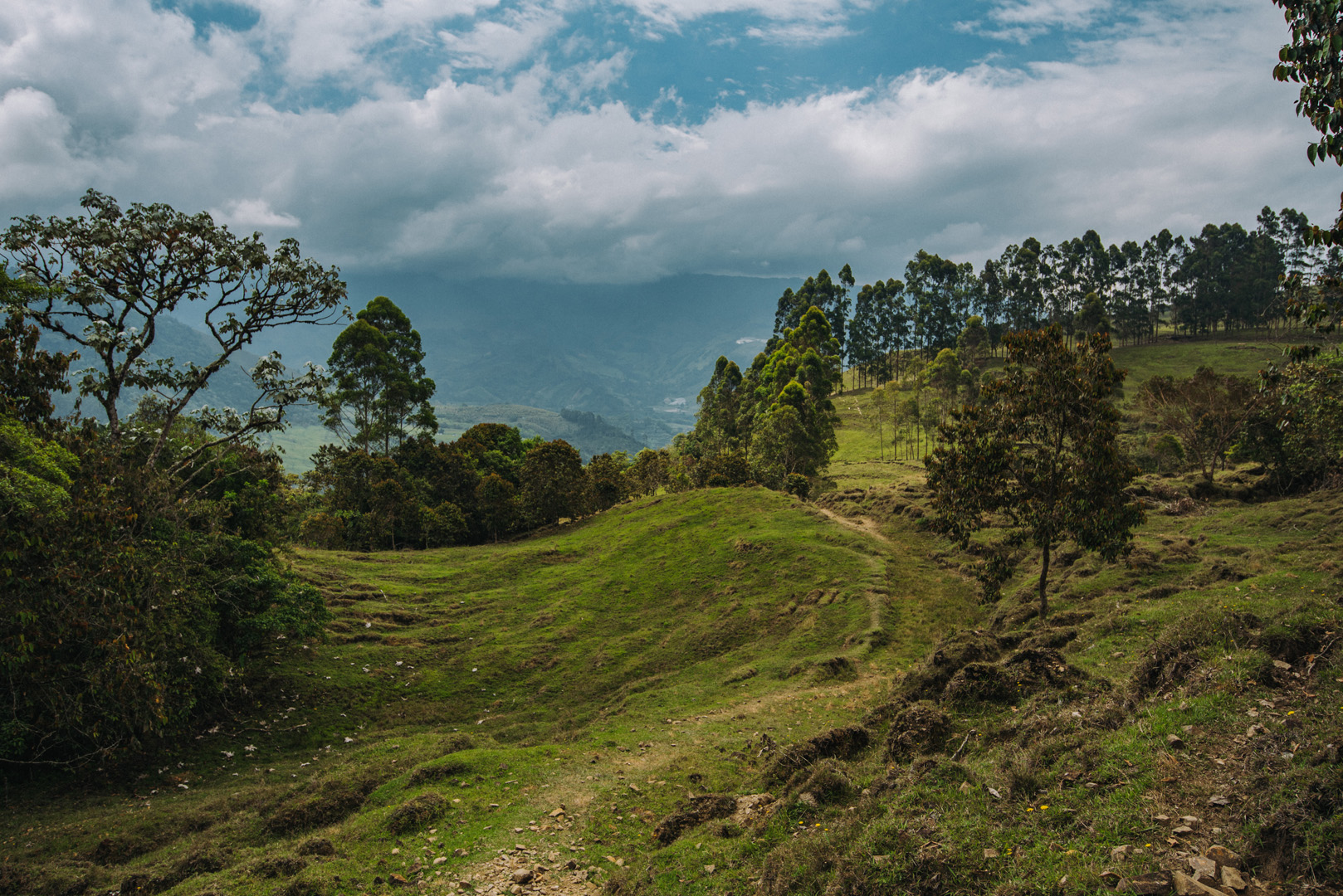
The second (eastern) trail has poor markings, I got lost two times and many times I were wondering which way I should go.
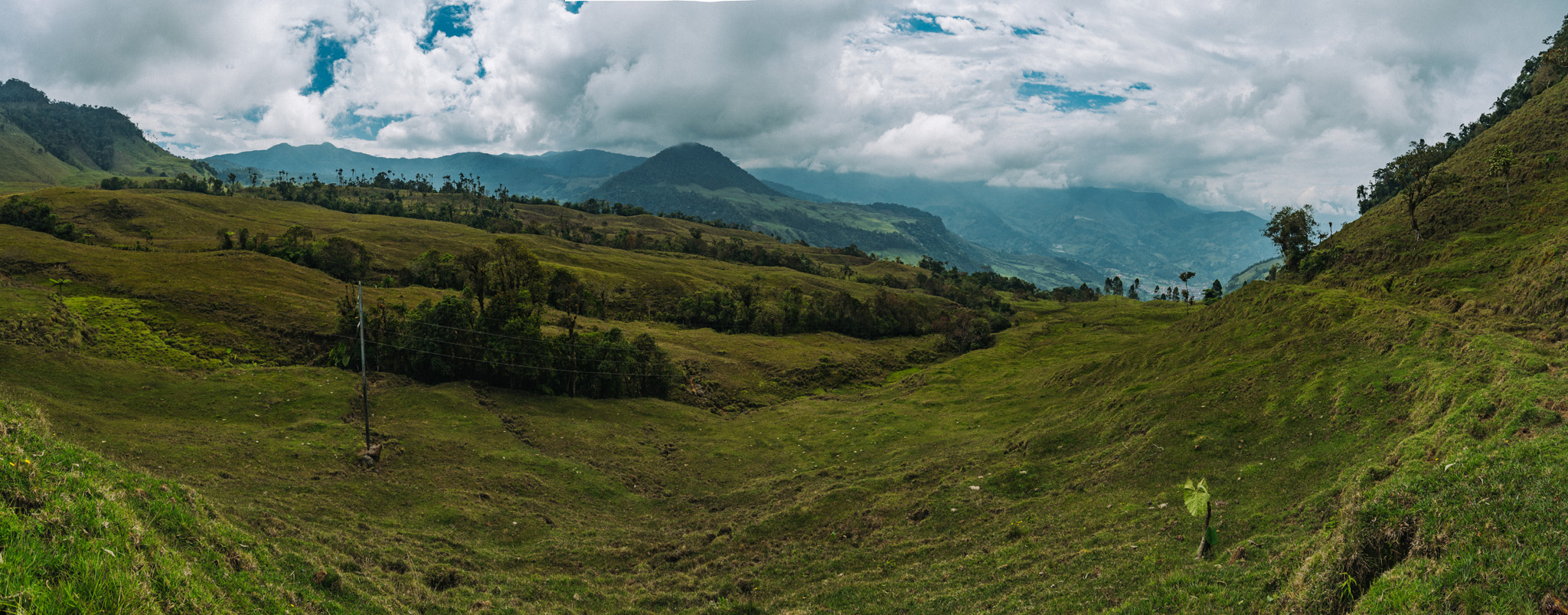
Around 5°37’38″ N 75°48’15″W.
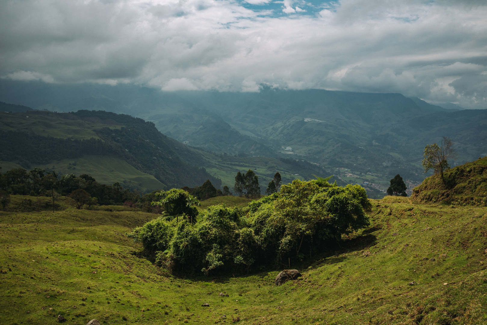
Around 5°37’08″ N 75°48’41″W.
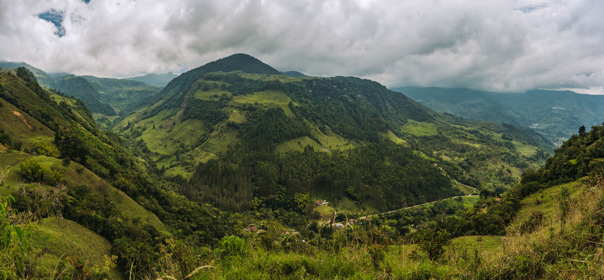
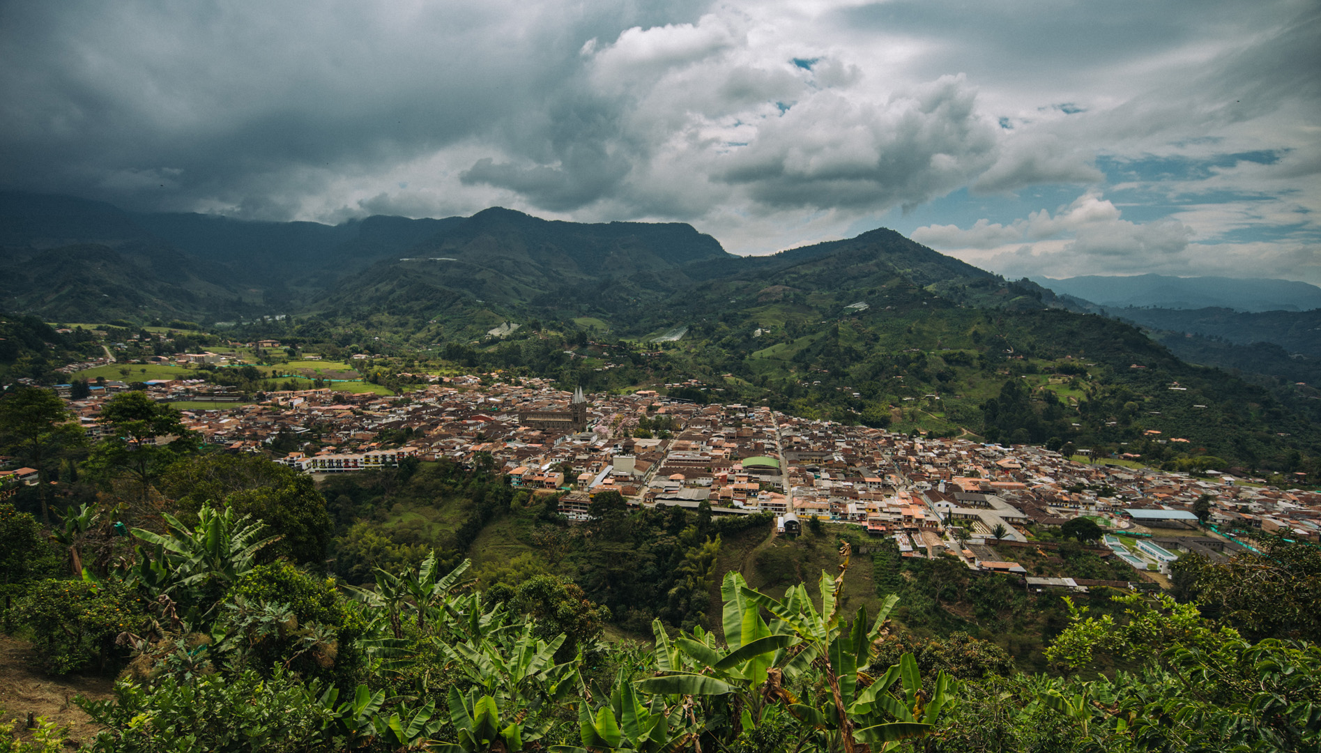
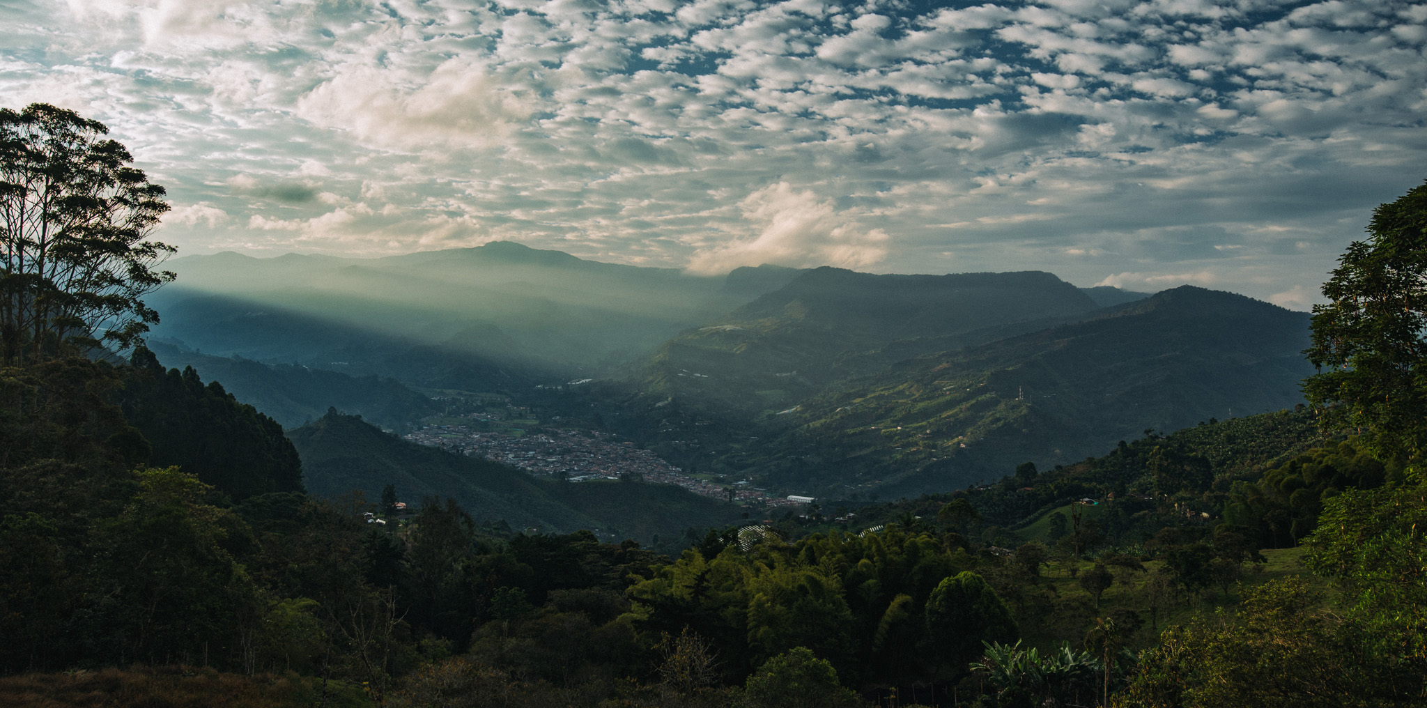
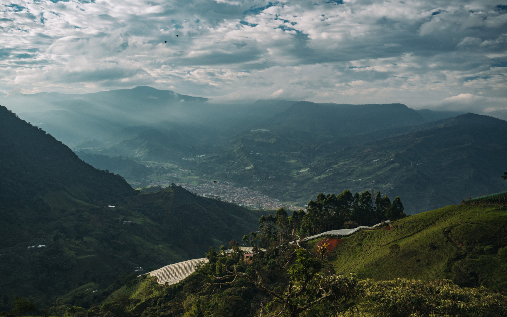
View on Jardín from viewpoint at Cerro Cristo Rey (5°36’17″ N 75°49’05″W).