- 1 November 20231 November 2023
Boyacá is a region in inland Colombia north of Bogotá.
Tunja
Tunja (5°32’ N 73°22’ W) is a medium city in Colombia, 130 km north-east of Bogota.
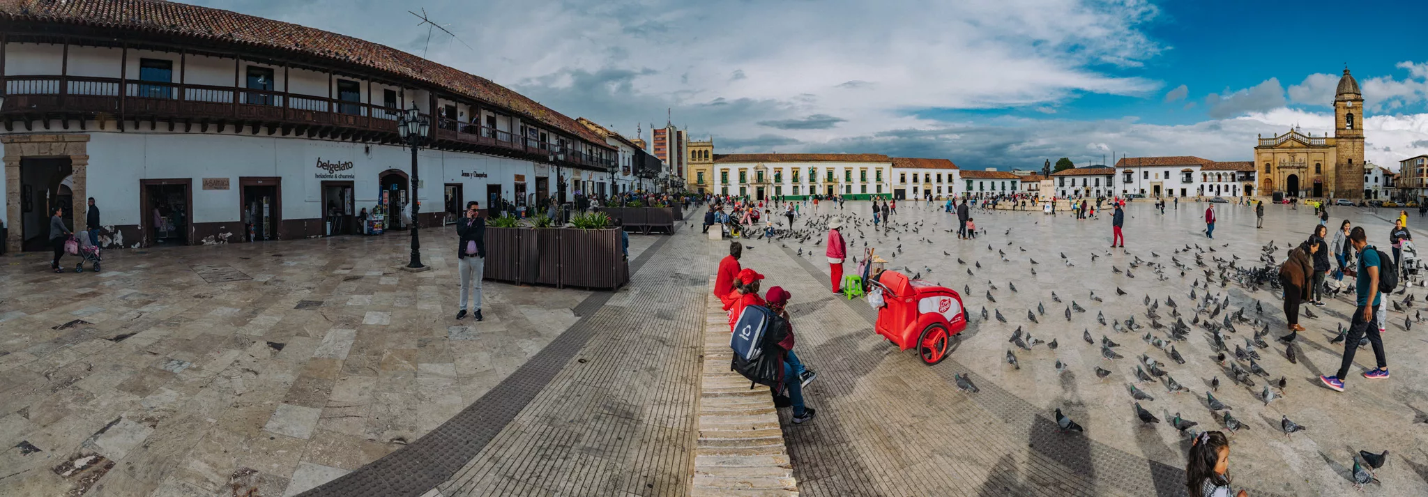
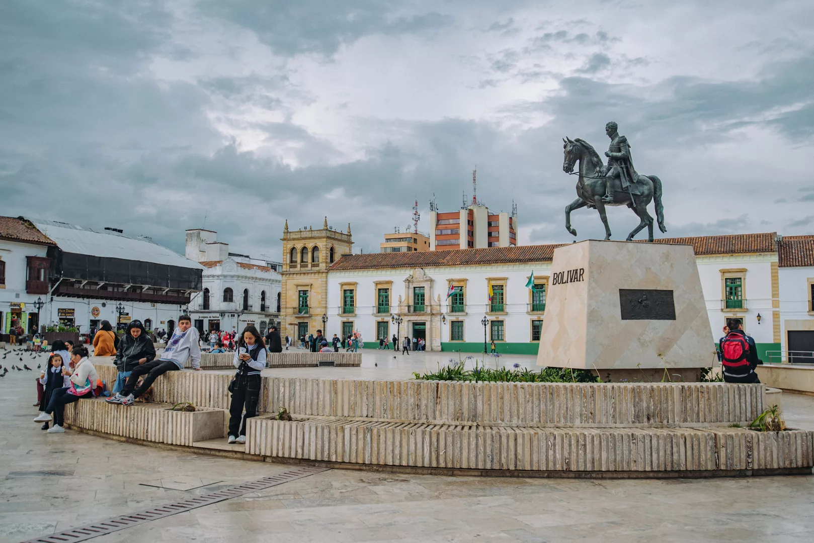
Plaza de Bolivar (5°31’57″ N 73°21’42″ W).
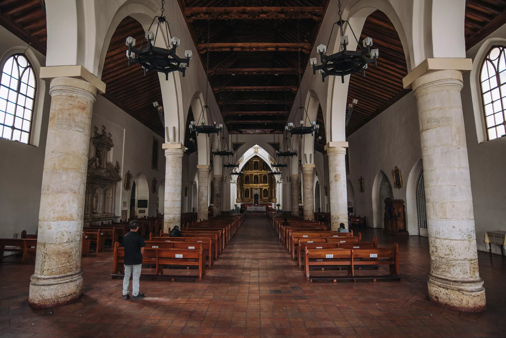
Catedral de Tunja (5°31’55″ N 73°21’39″ W).
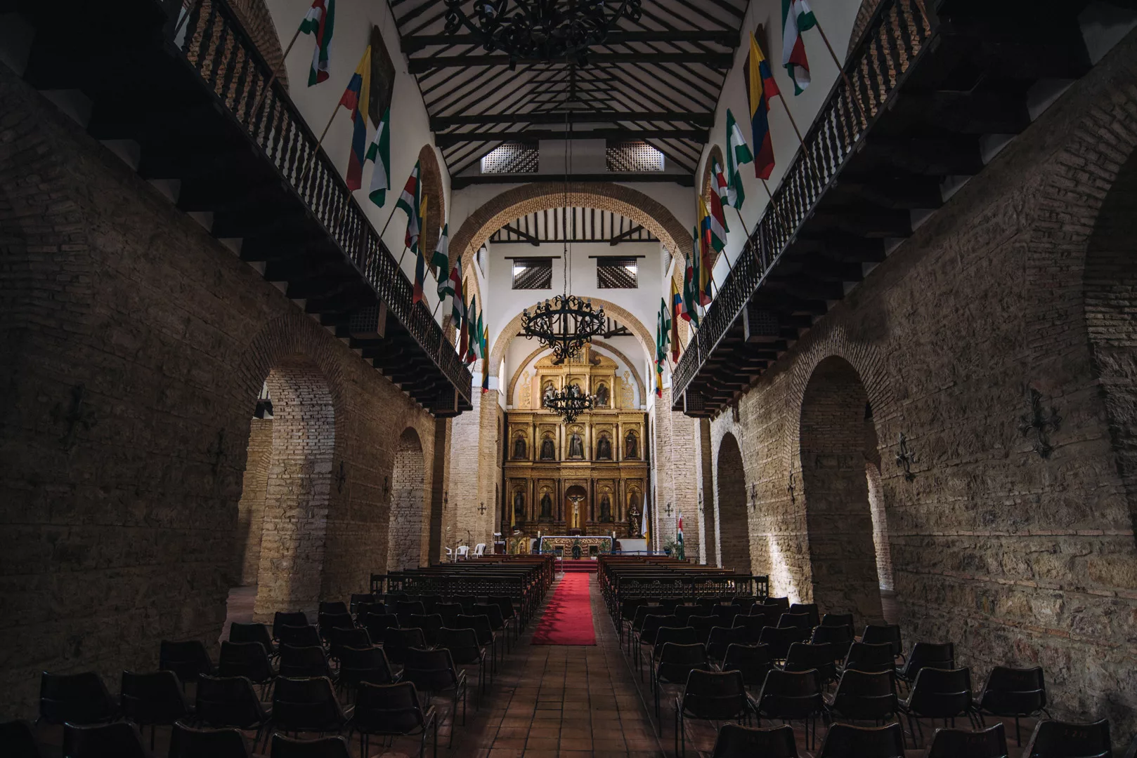
Santuario de San Ignacio (5°31’53″ N 73°21’45″ W).
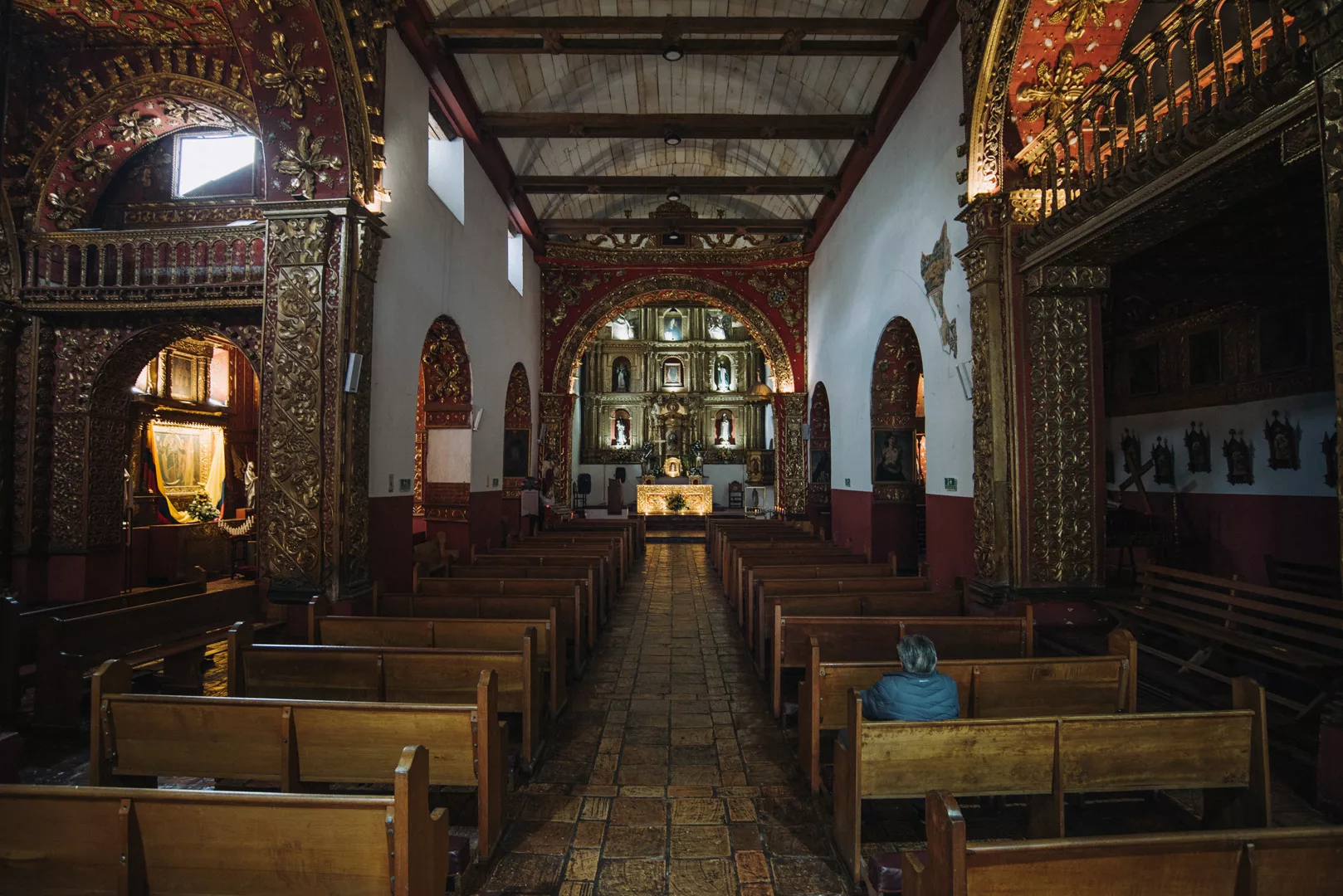
Iglesia De Santo Domingo (5°31’59″ N 73°21’48″ W).
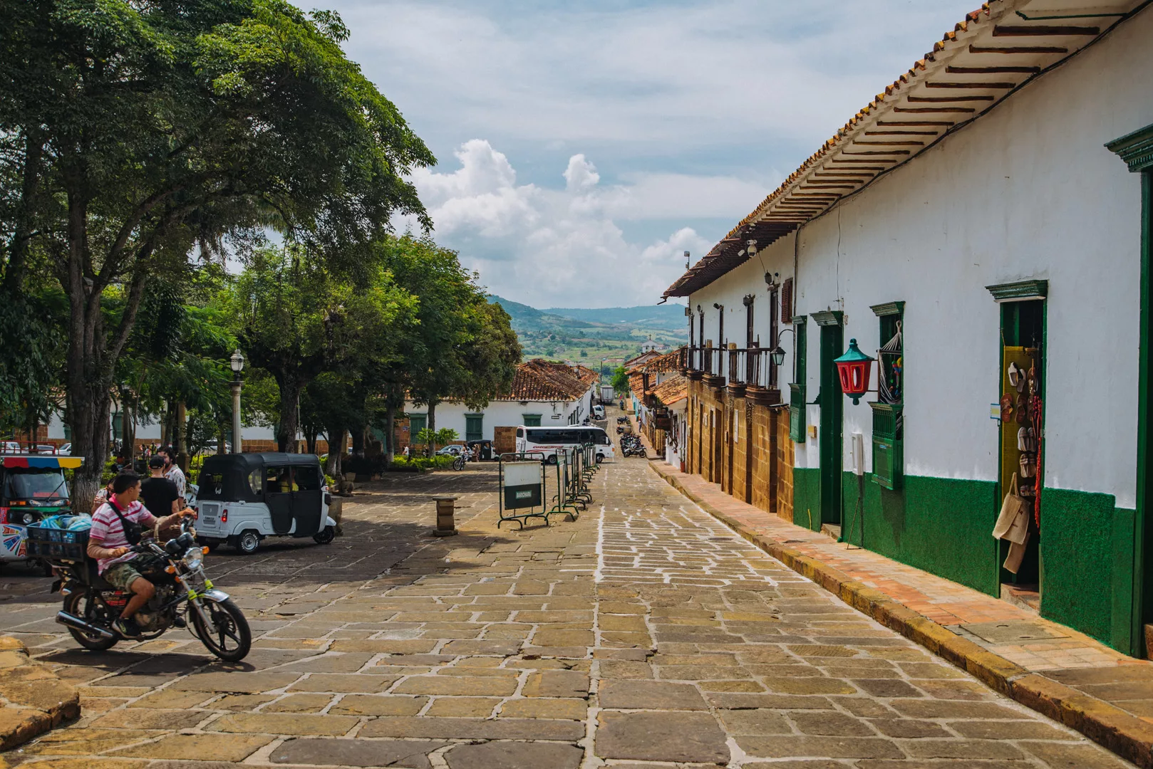
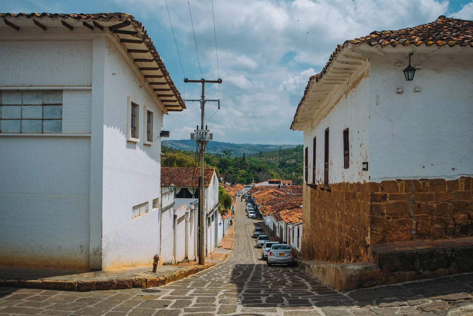
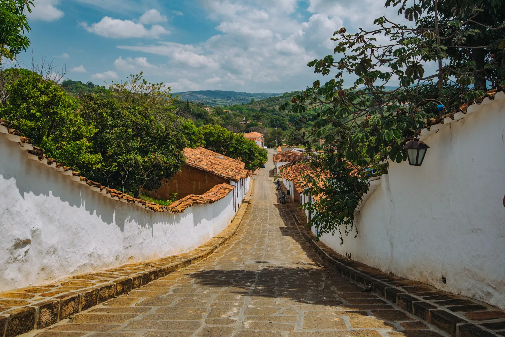
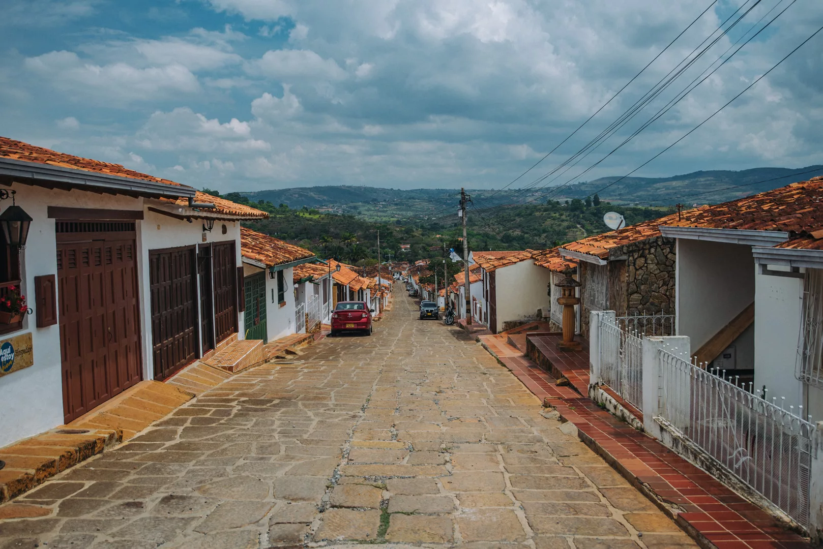
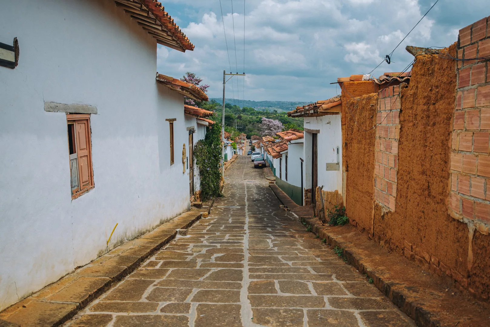
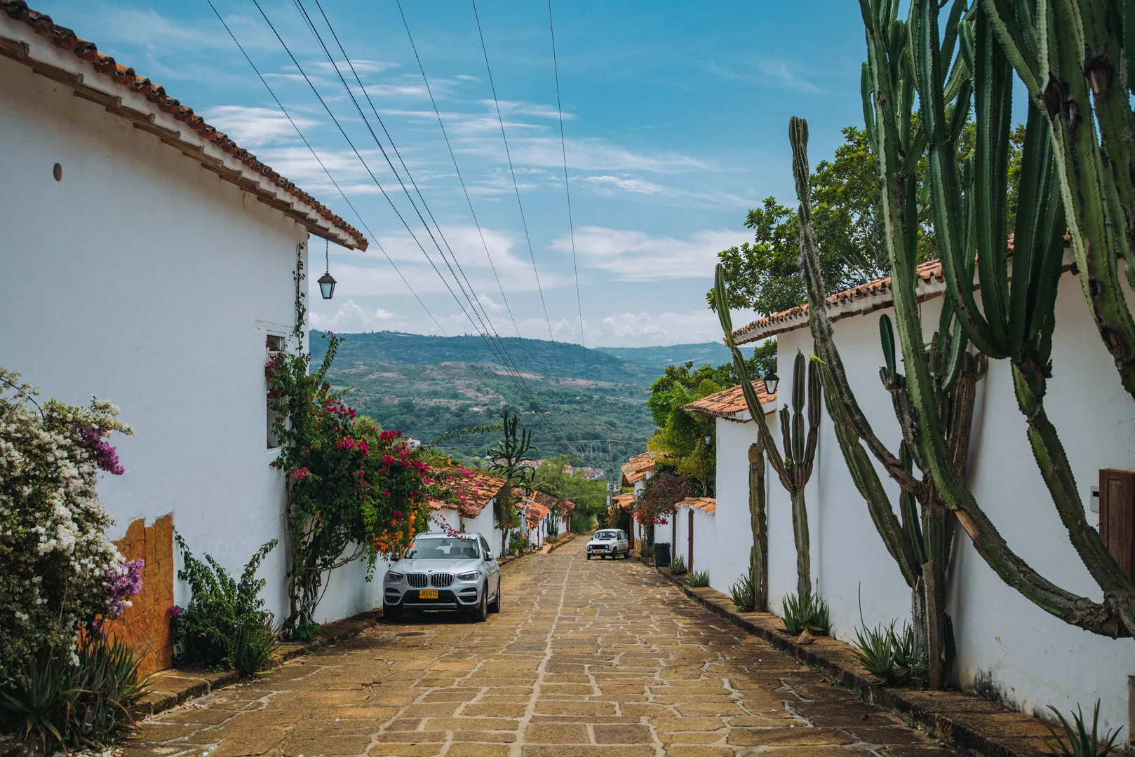
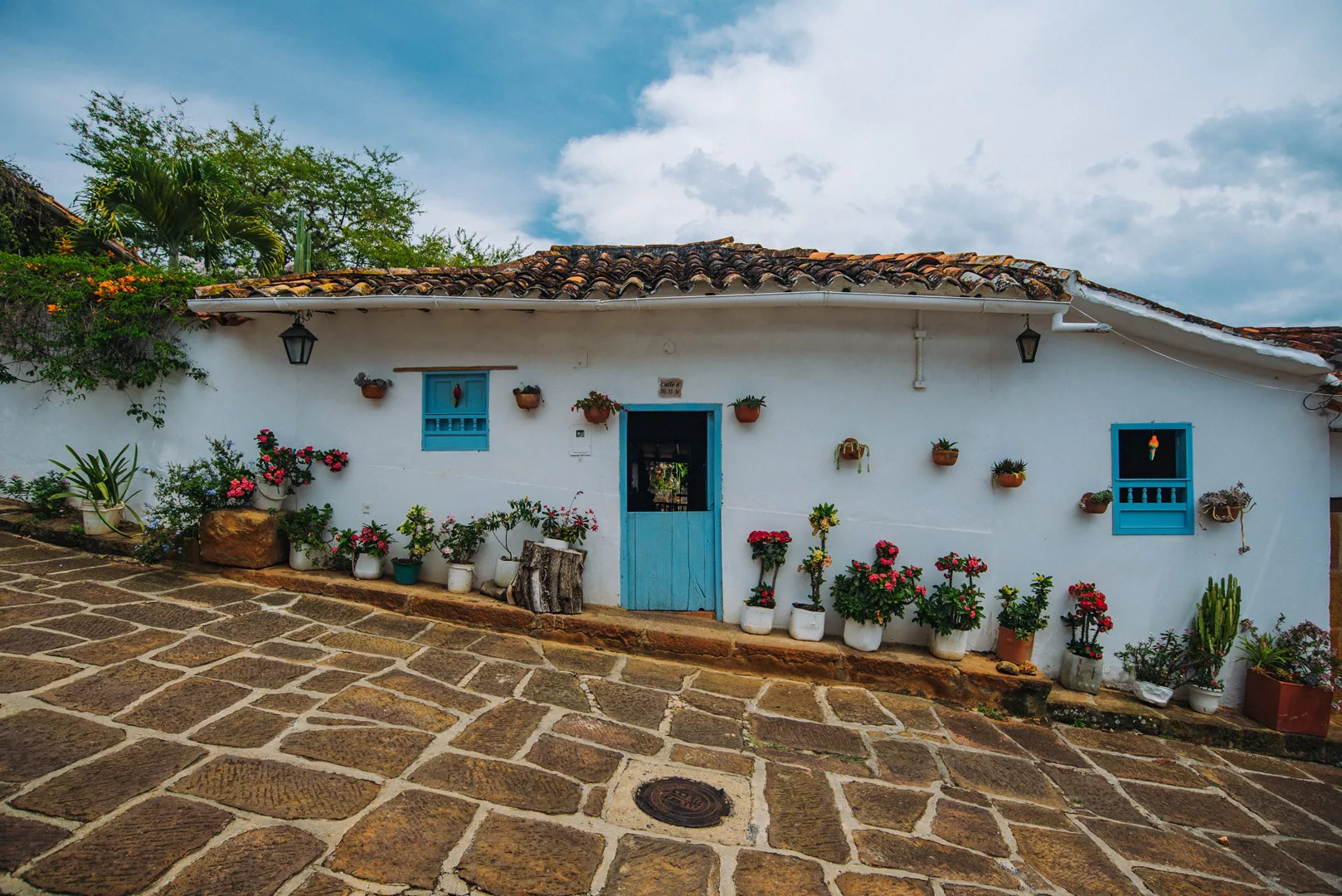
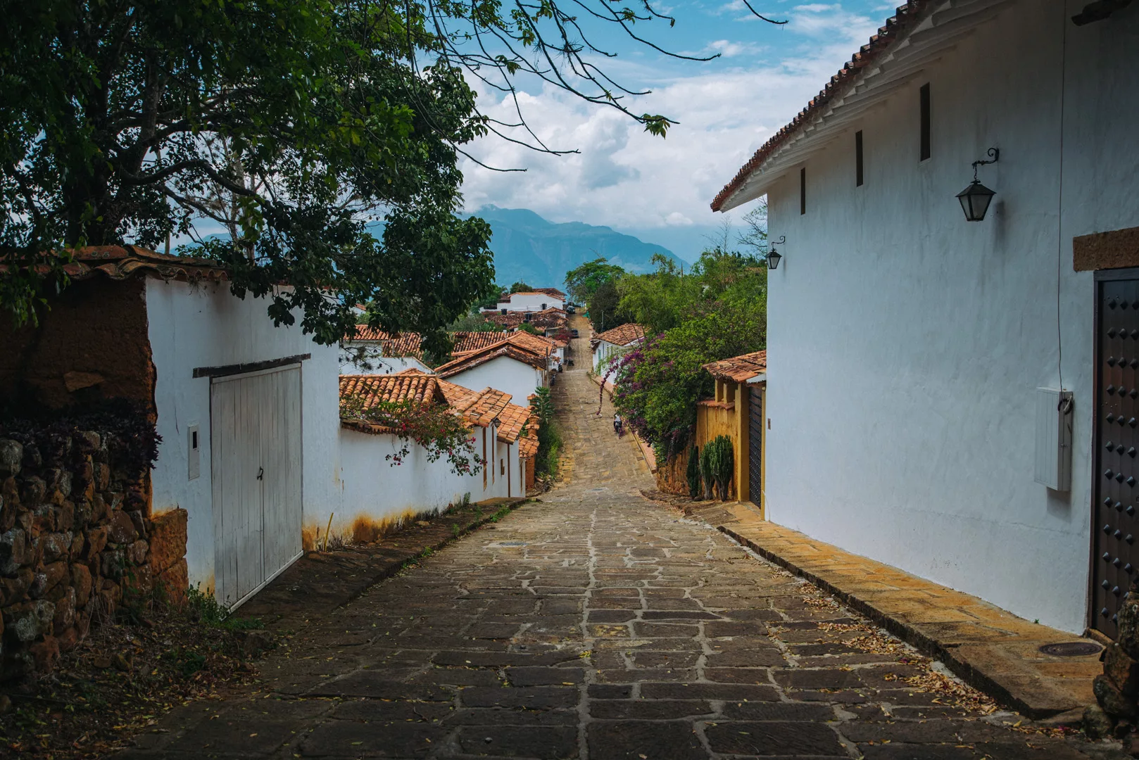
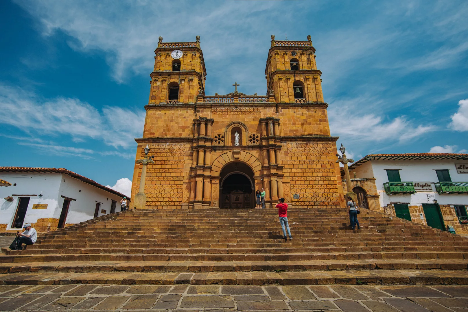
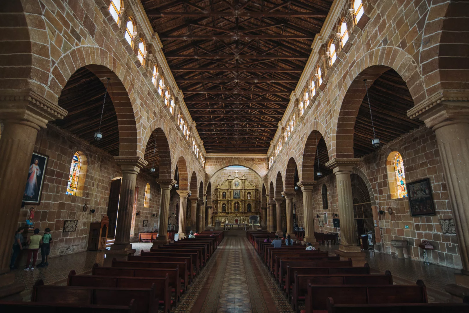
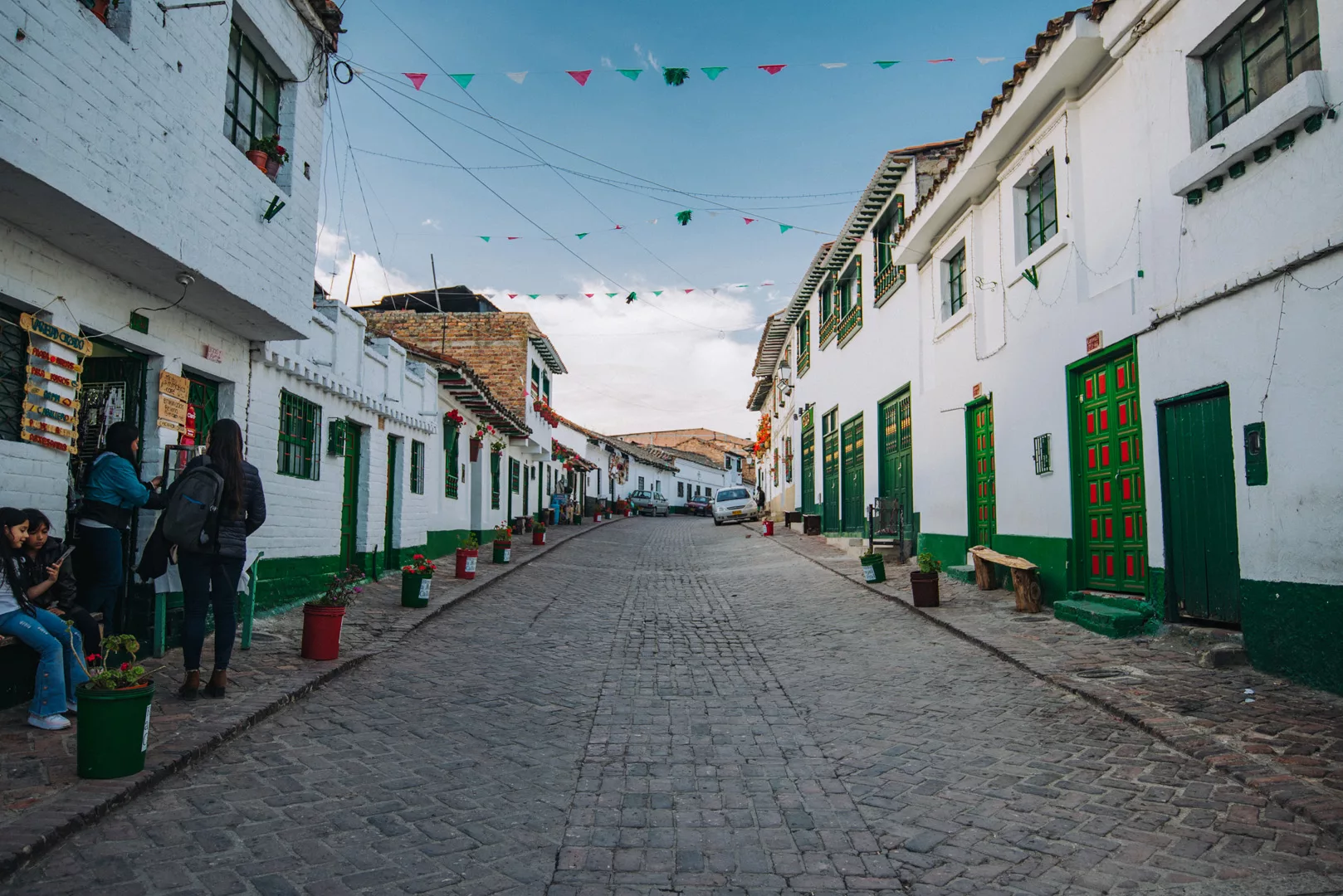
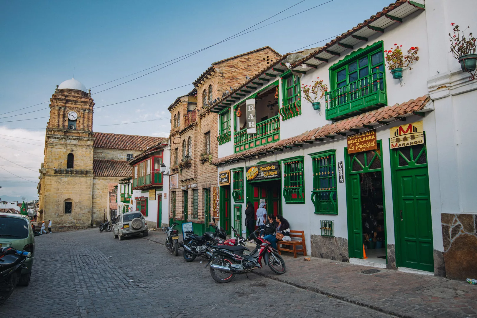
Villa De Leyva
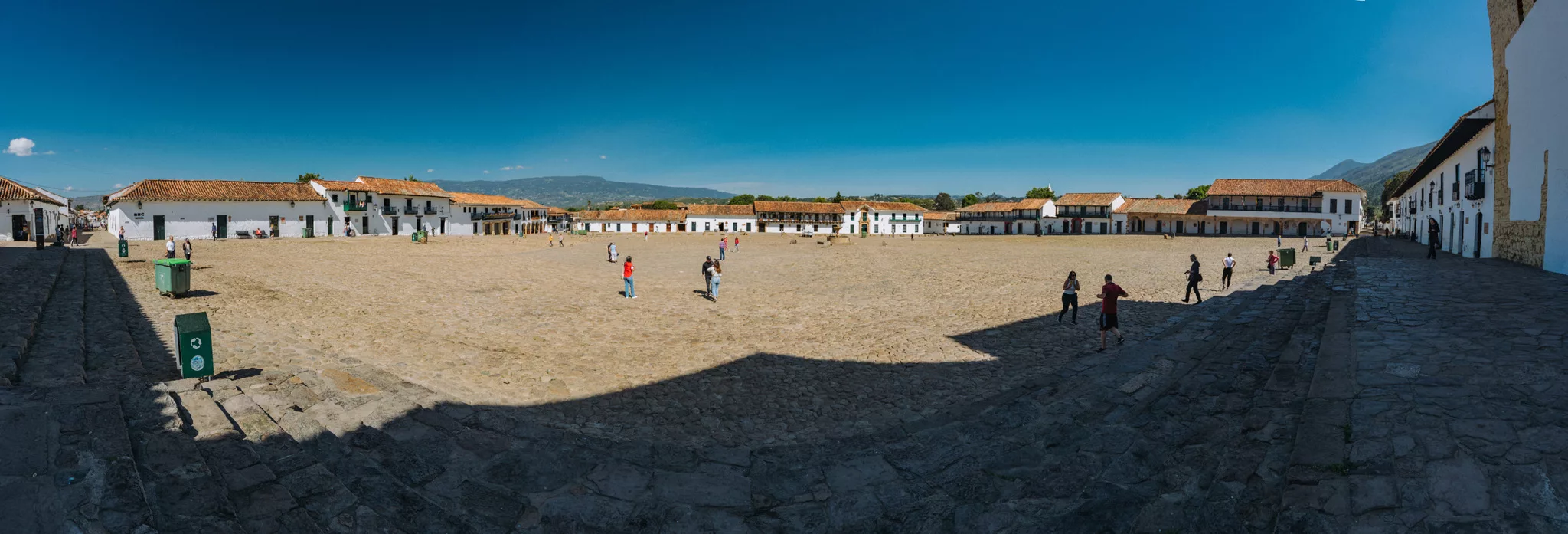
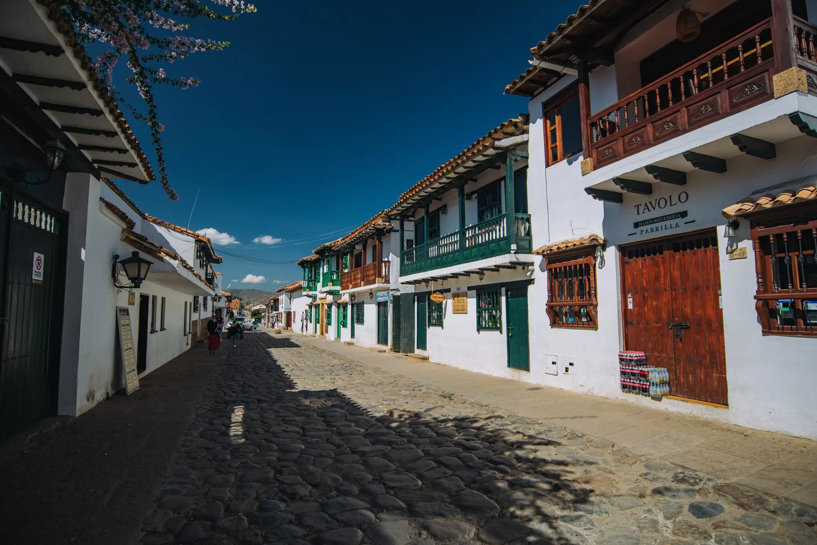
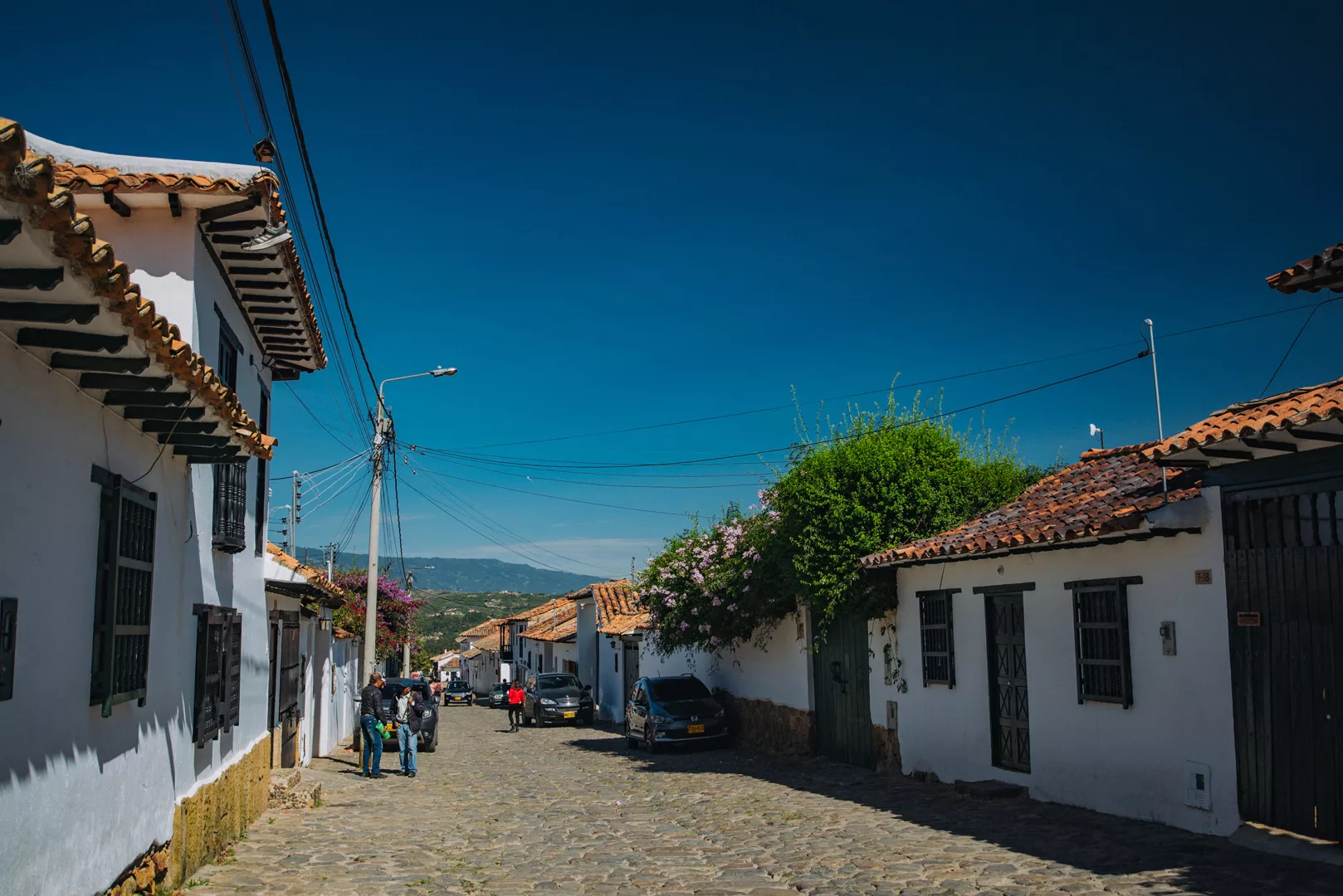
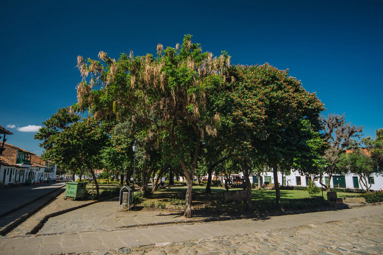
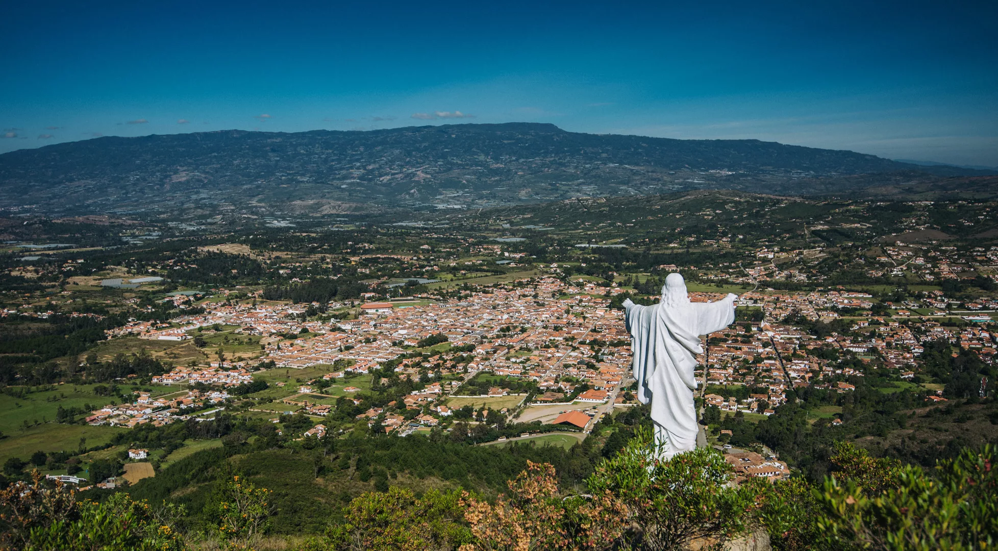
Villa De Leyva (5°38’0″ N 73°31’30″ W) is a beautiful small village 20 km from Tunja.
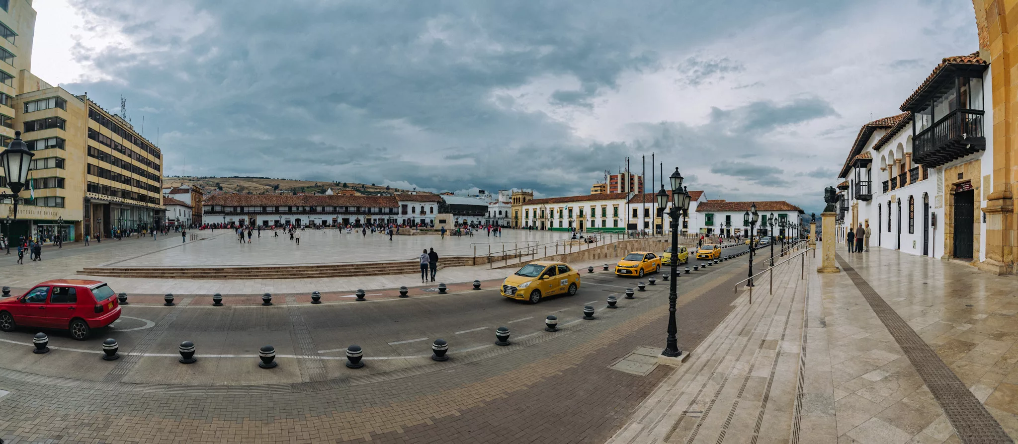
Plaza Mayor de Villa de Leyva (5°38’01″ N 73°31’25″ W).
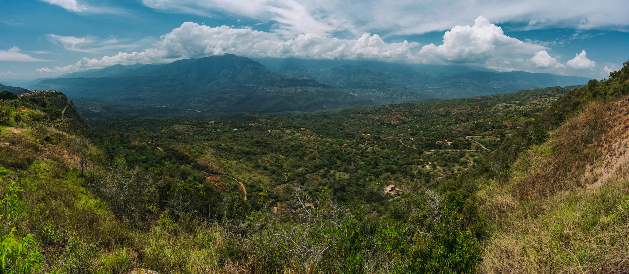
View from Mirador El Santo Sagrado Corazon de Jesus (5°37’30″ N 73°30’49″ W) over the city.
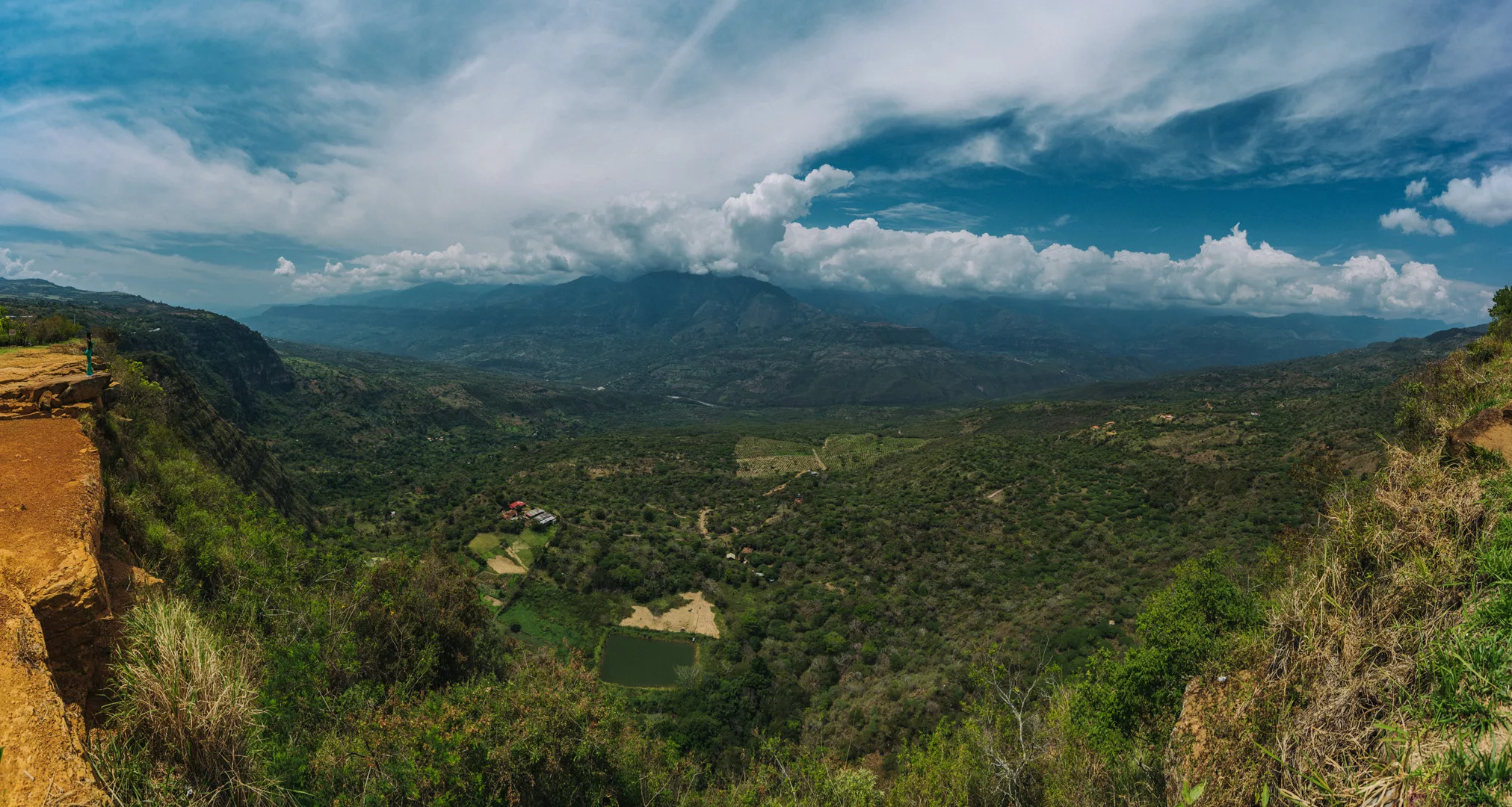
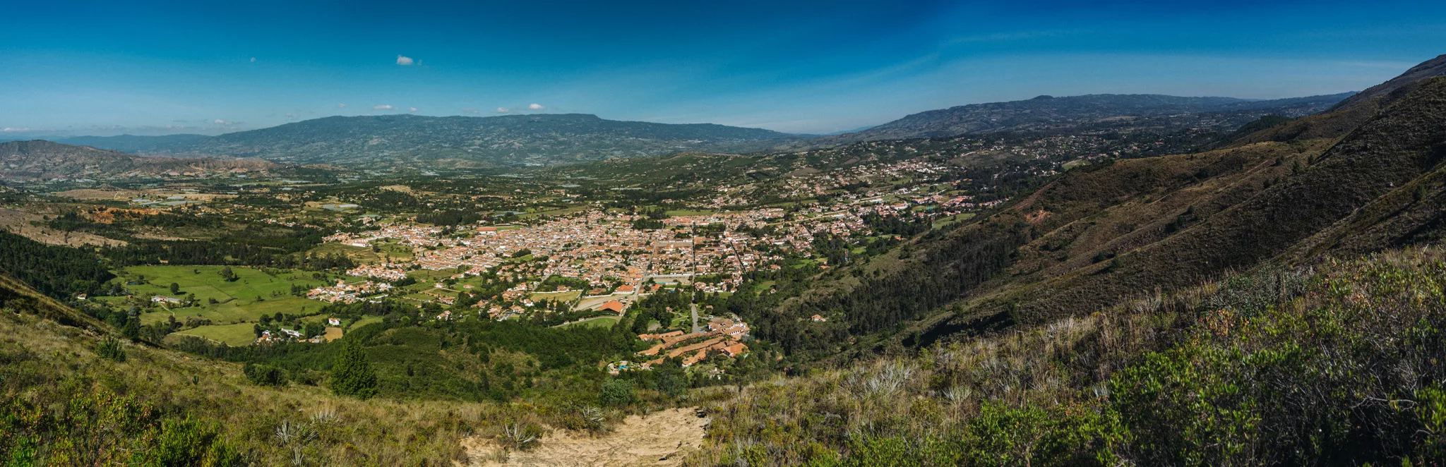
View from viewpoint (5°36’0″ N 73°31’22″ W) near Las Cárcavas and along the way, near Villa de Leyva.
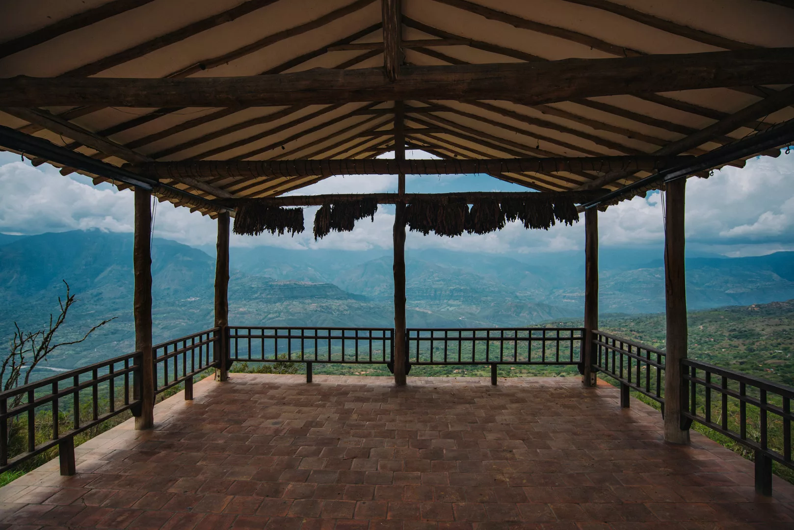
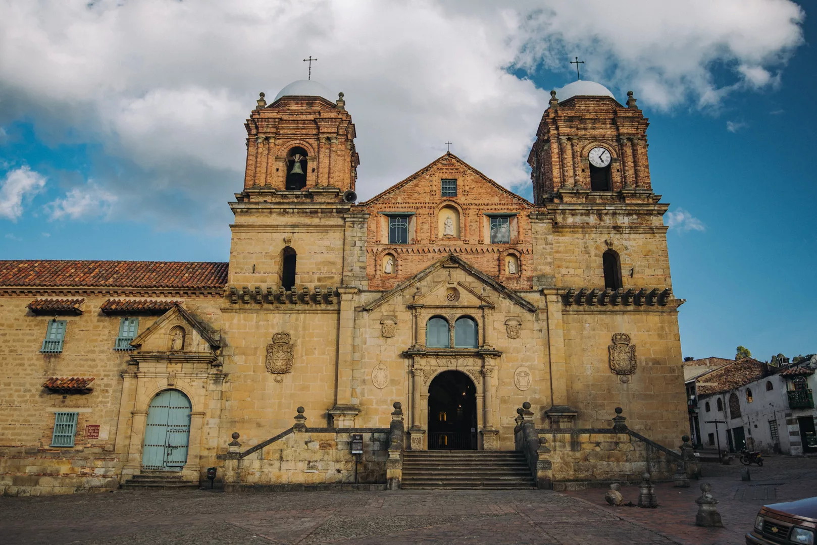
Monguí
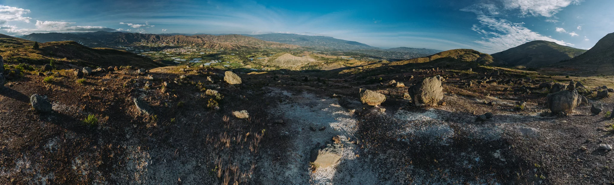
Monguí (5°43’19″ N 72°50’56″ W) is a small town 60 km from Tunja and 10 km from Sogamoso. I went there mostly for the view from a small local mountain.
Basílica Menor de Nuestra Señora de Monguí (5°43’19″ N 72°50’56″ W).
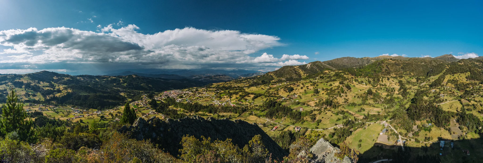
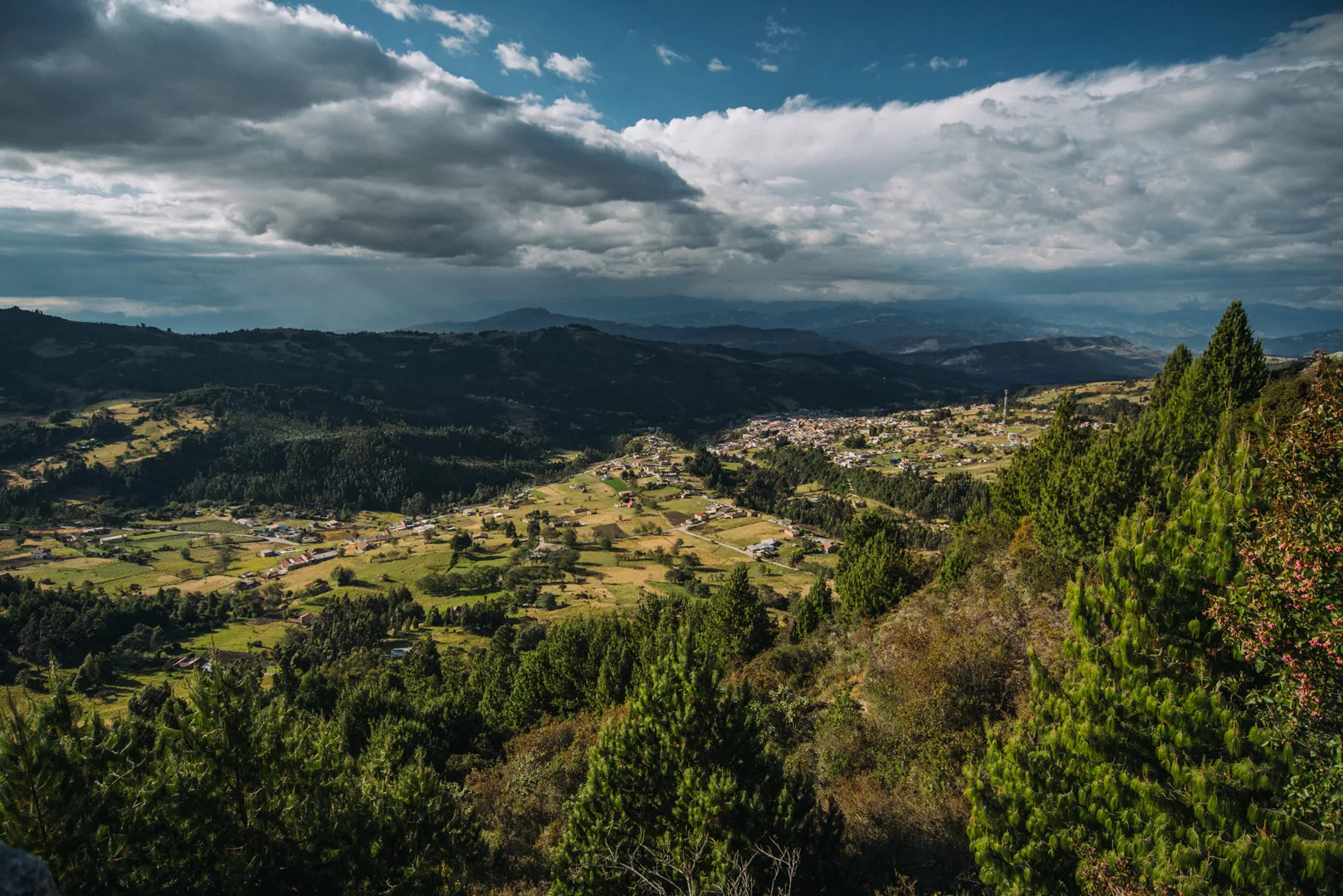
View from Peña de Otí (5°42’30″ N 72°50’34″ W).
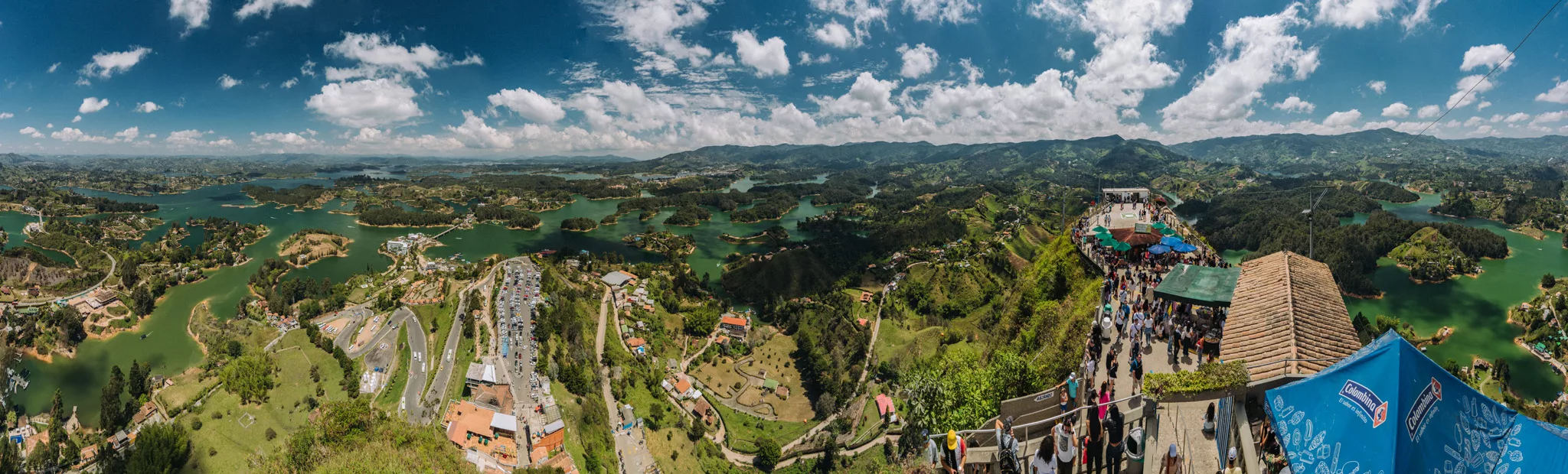
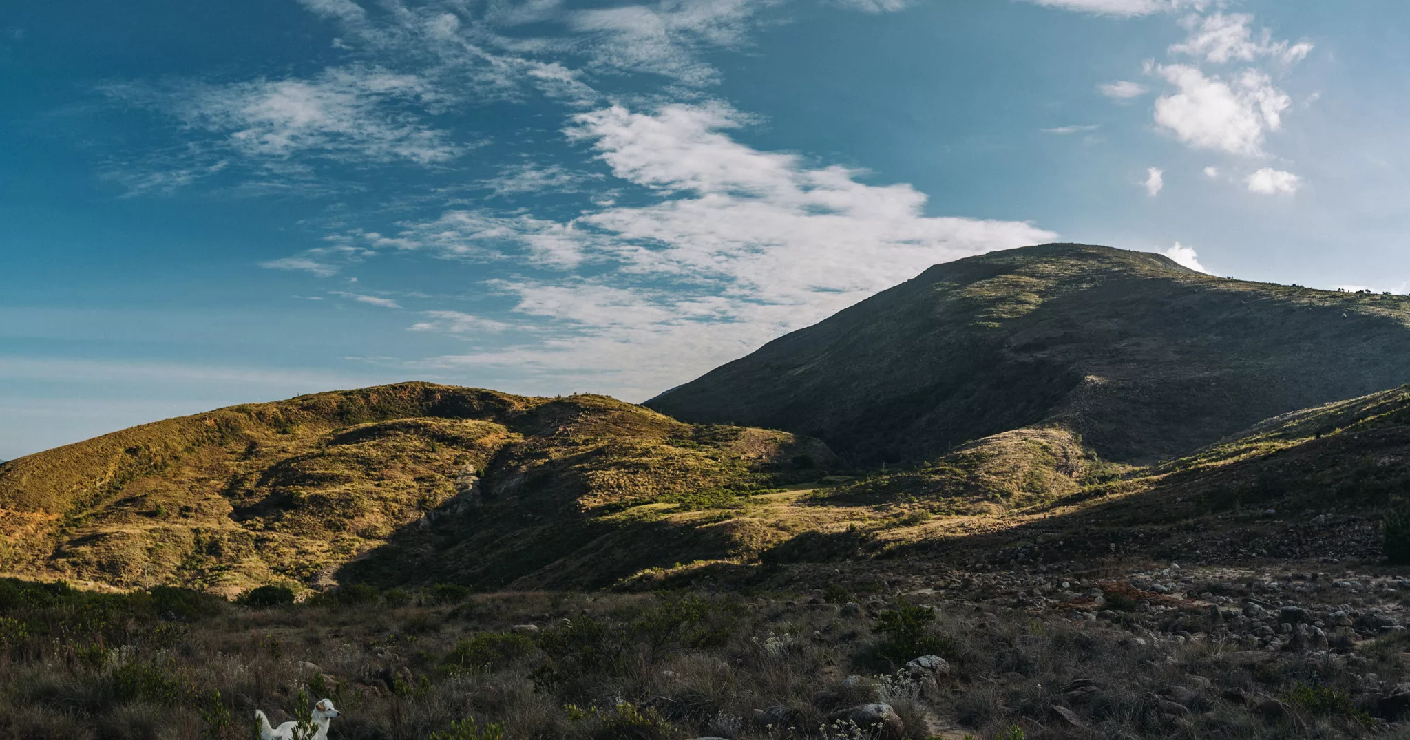
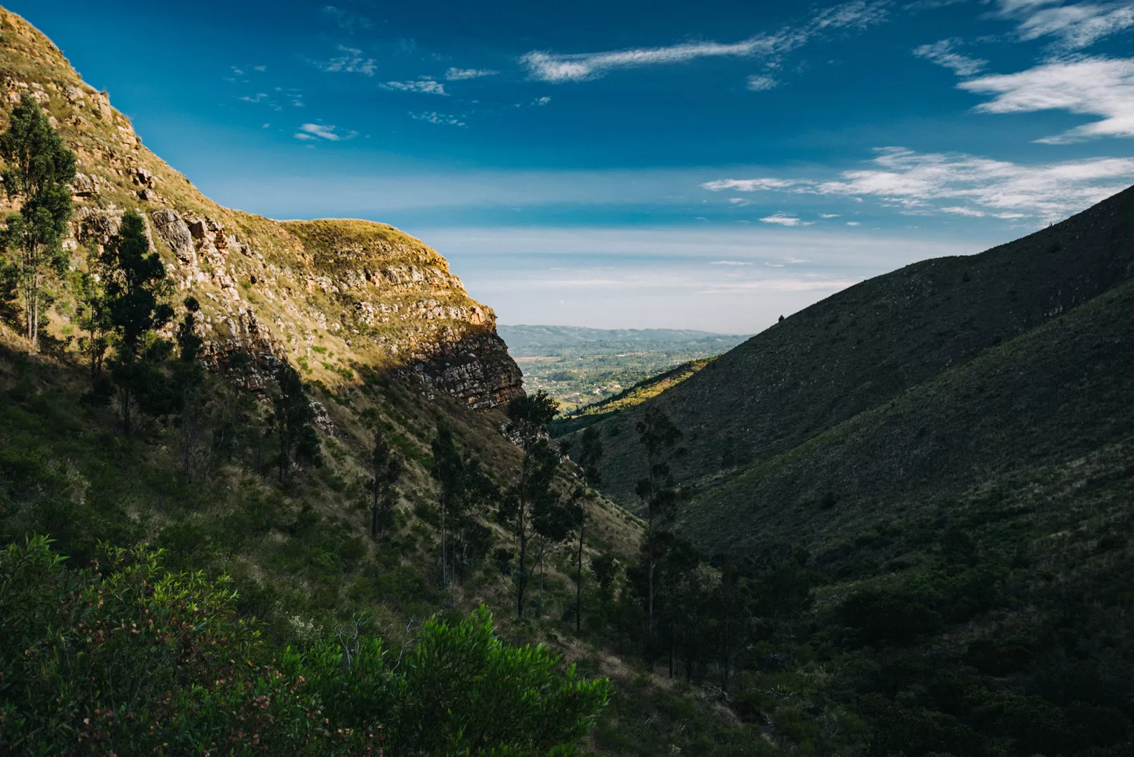
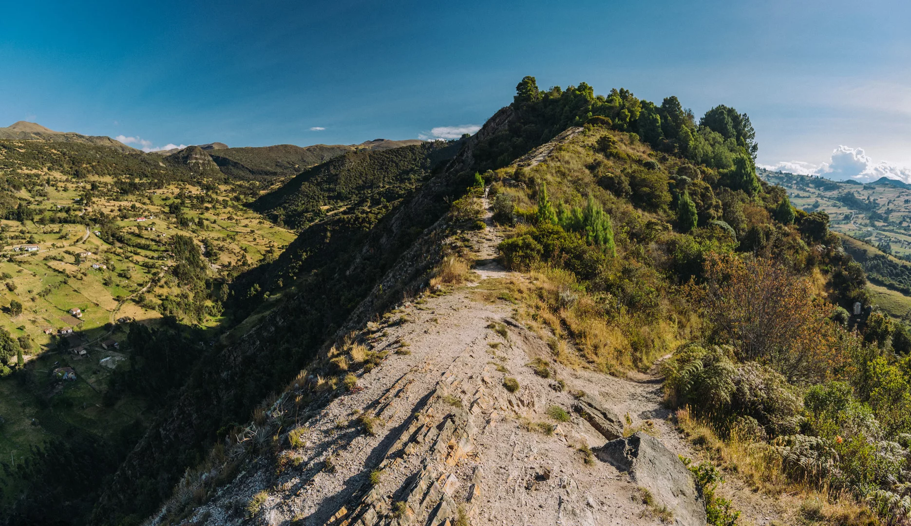
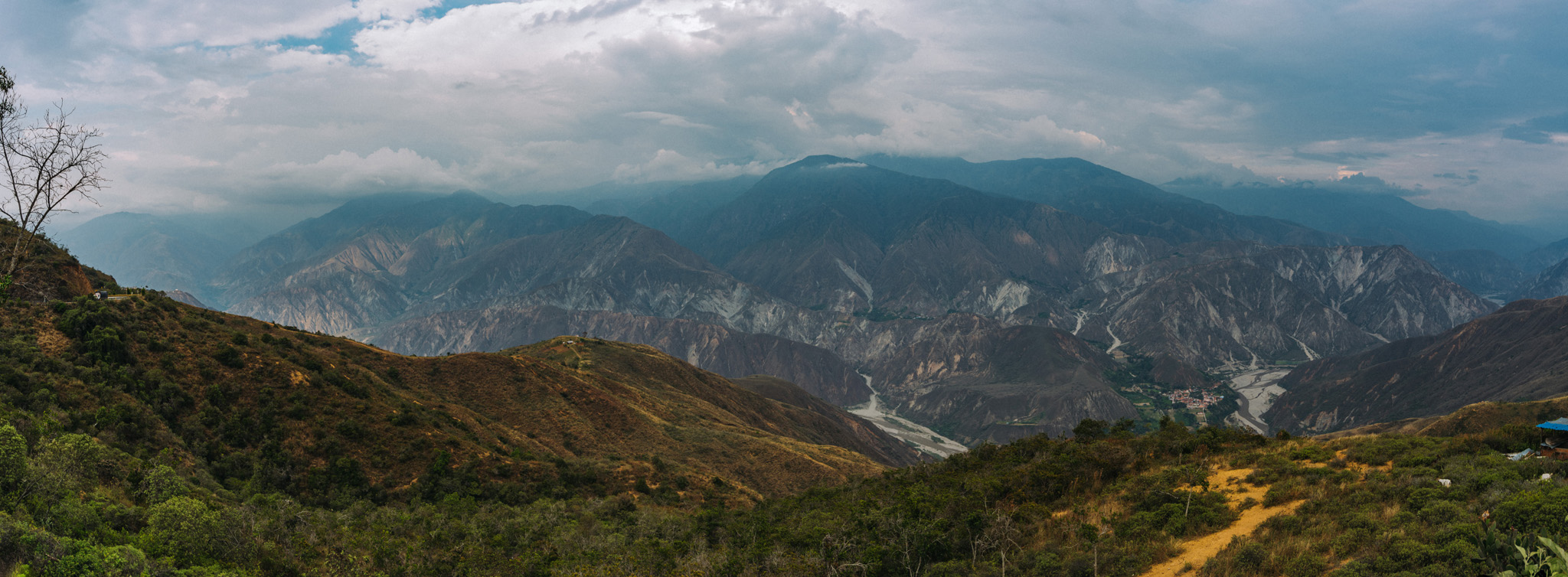
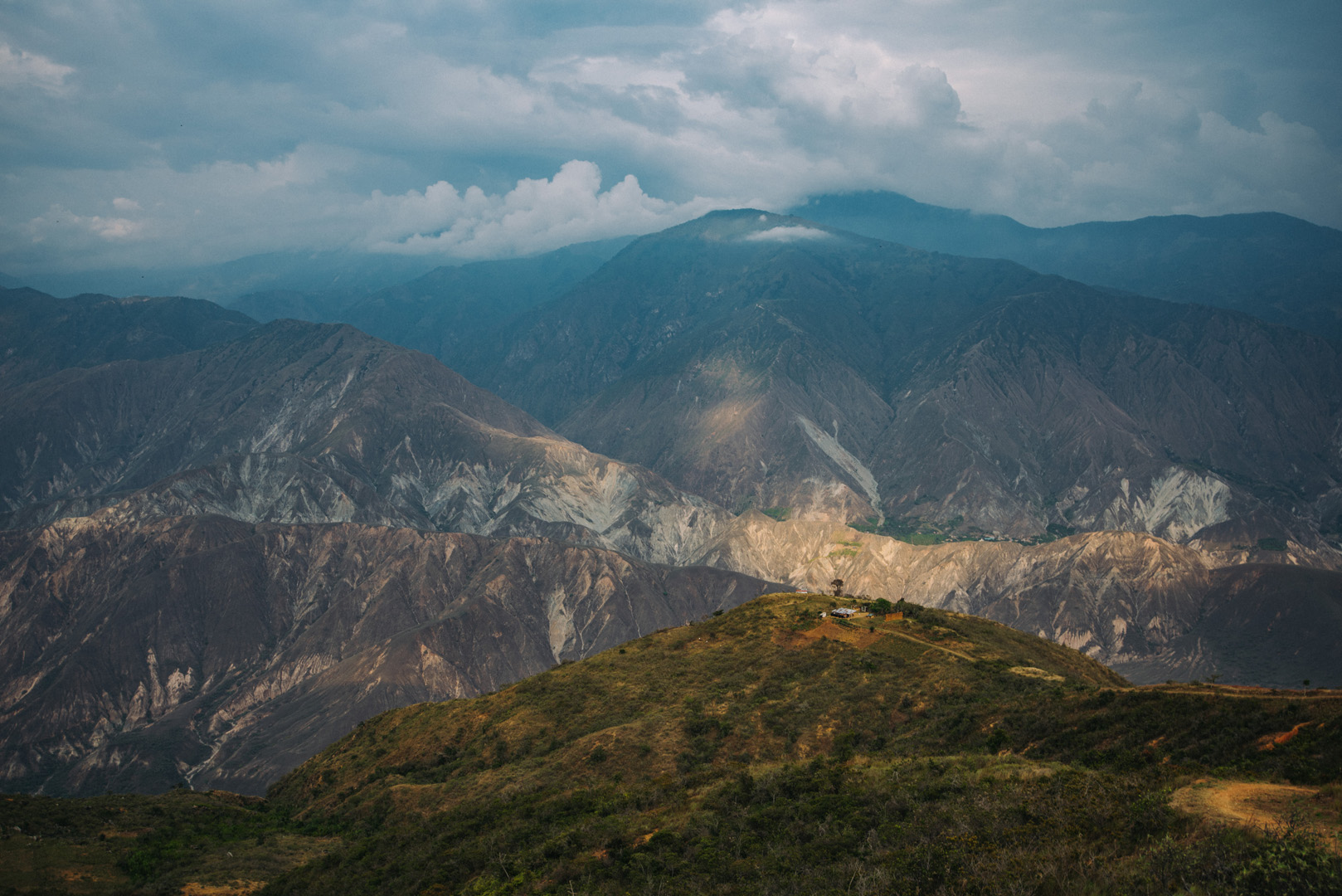
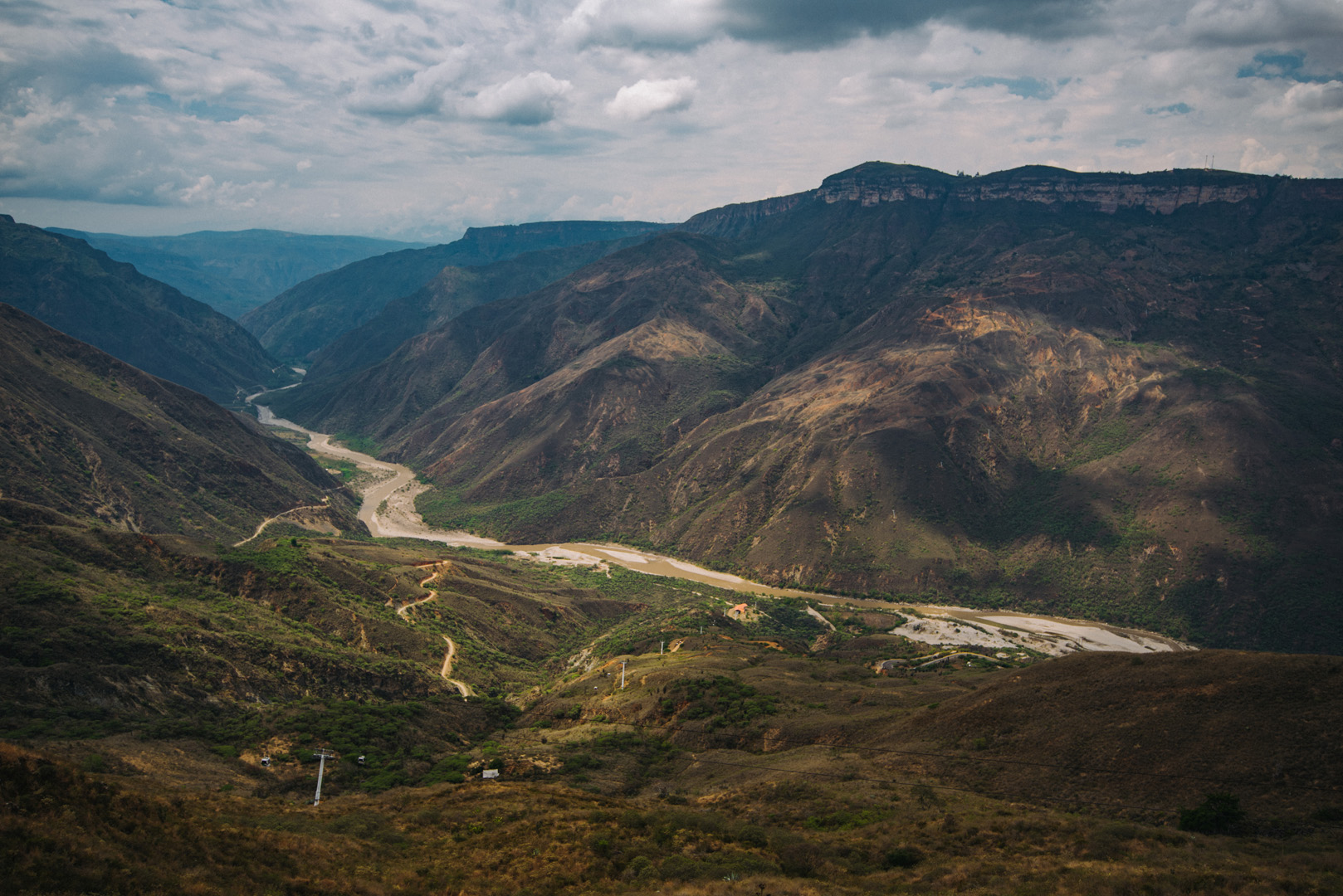
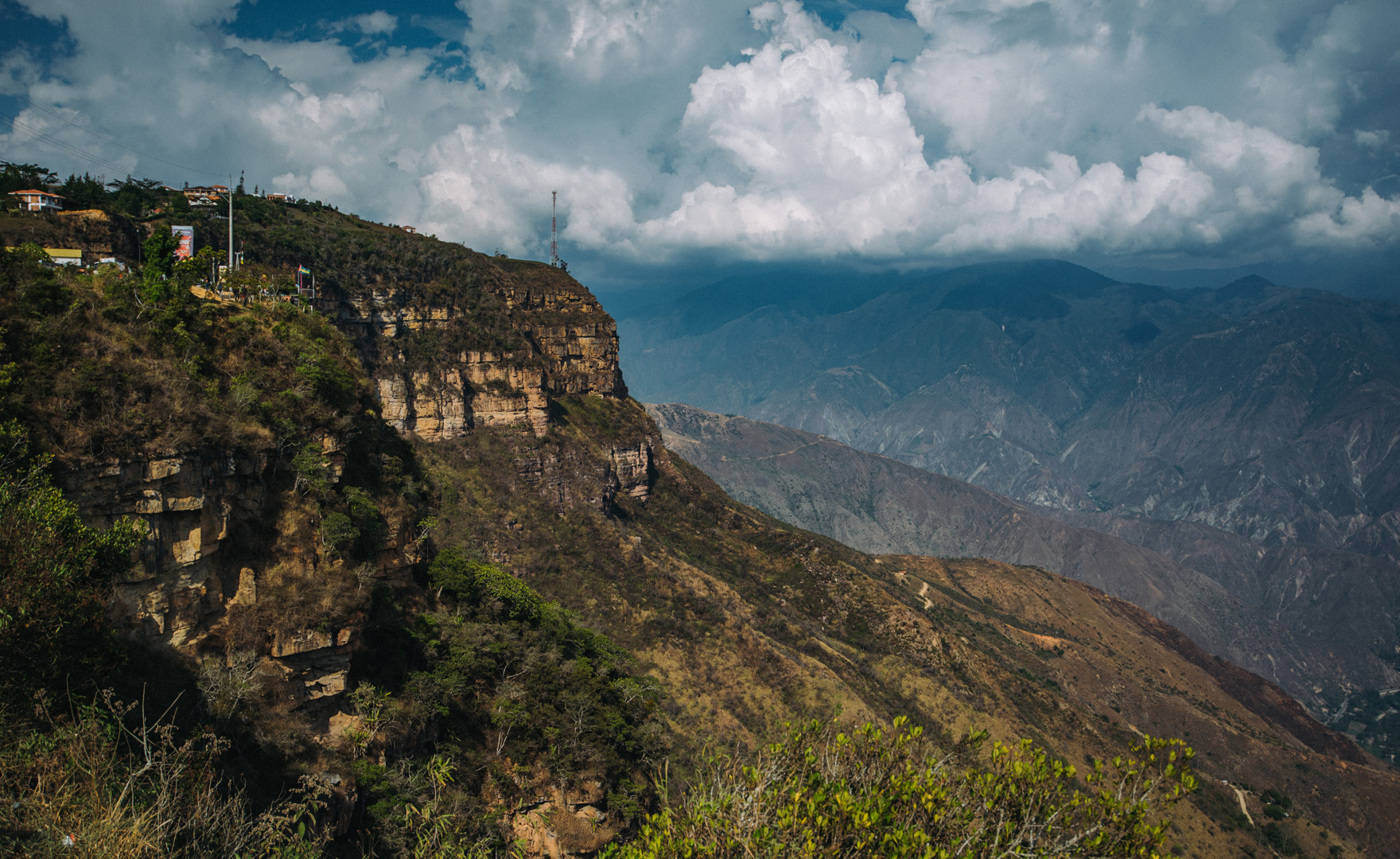
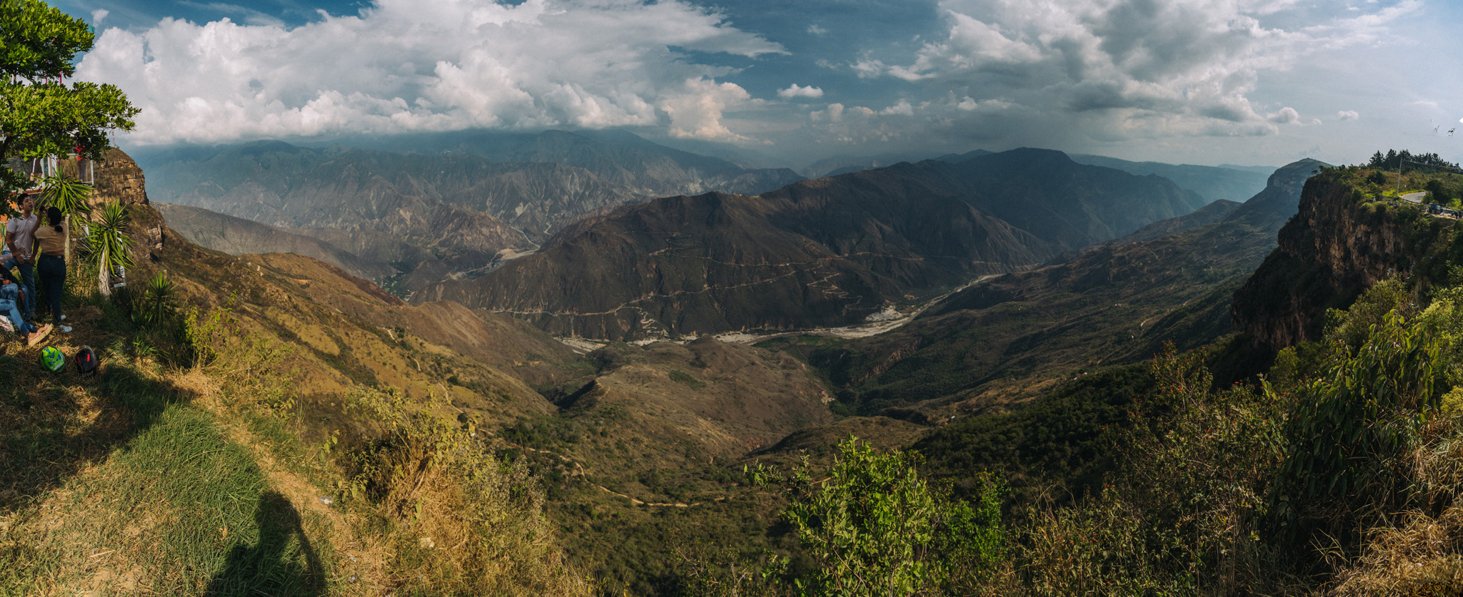
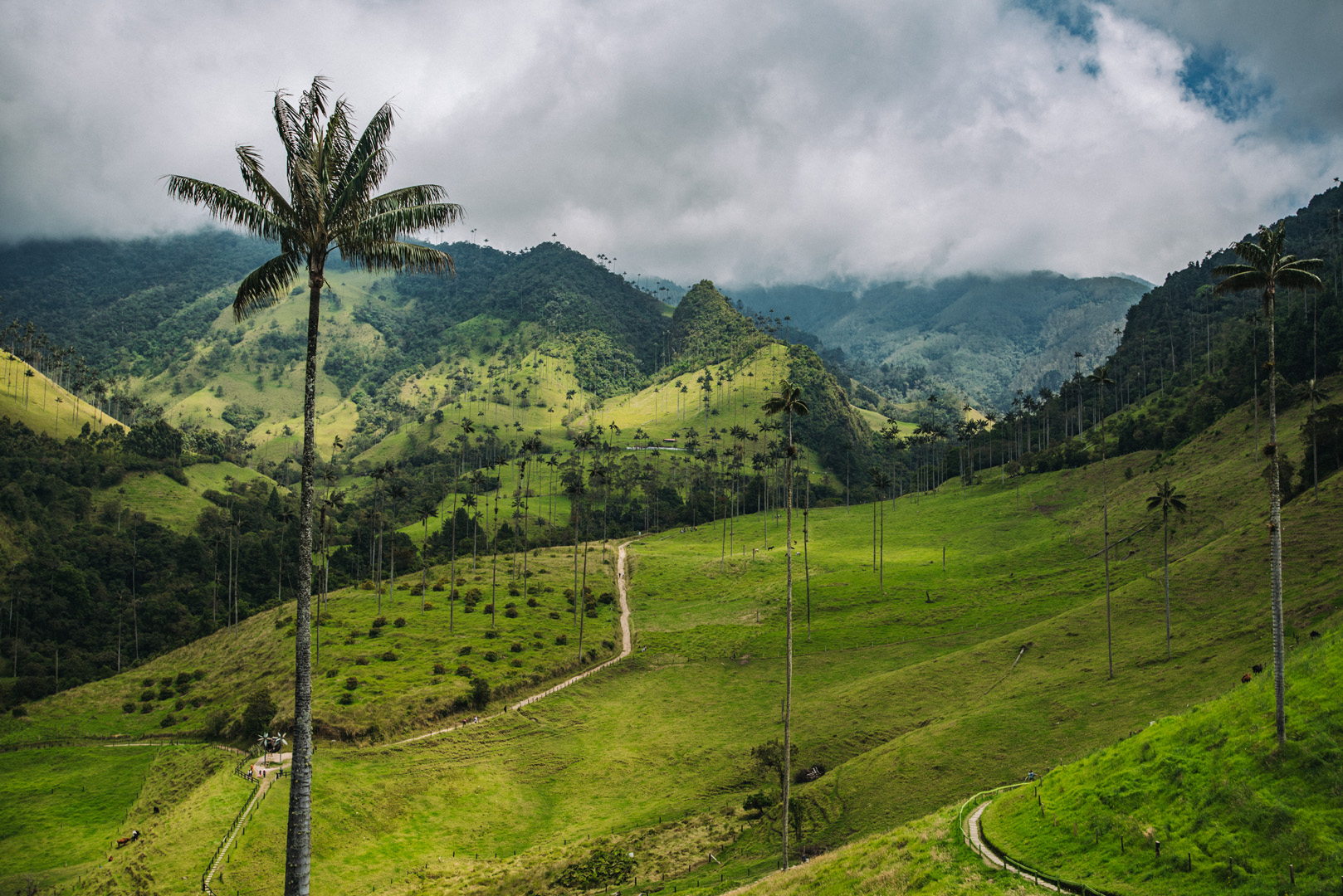
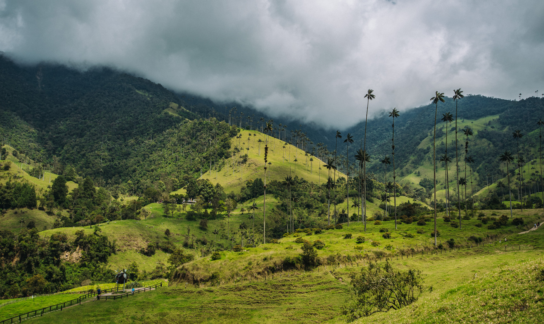
 Landscape
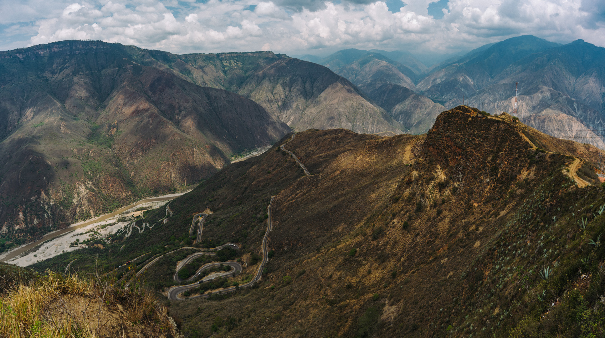
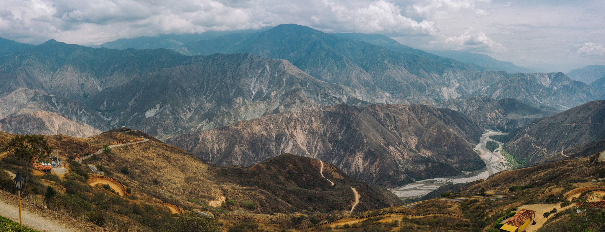
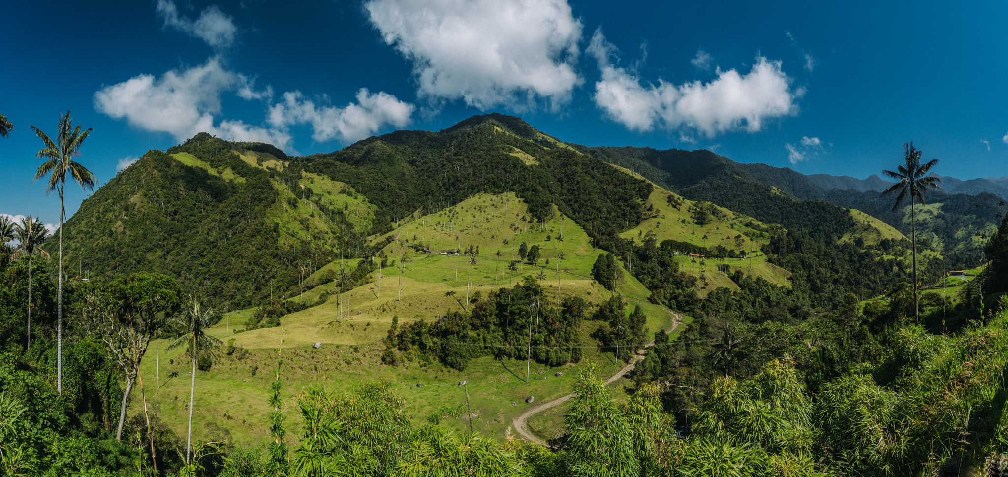
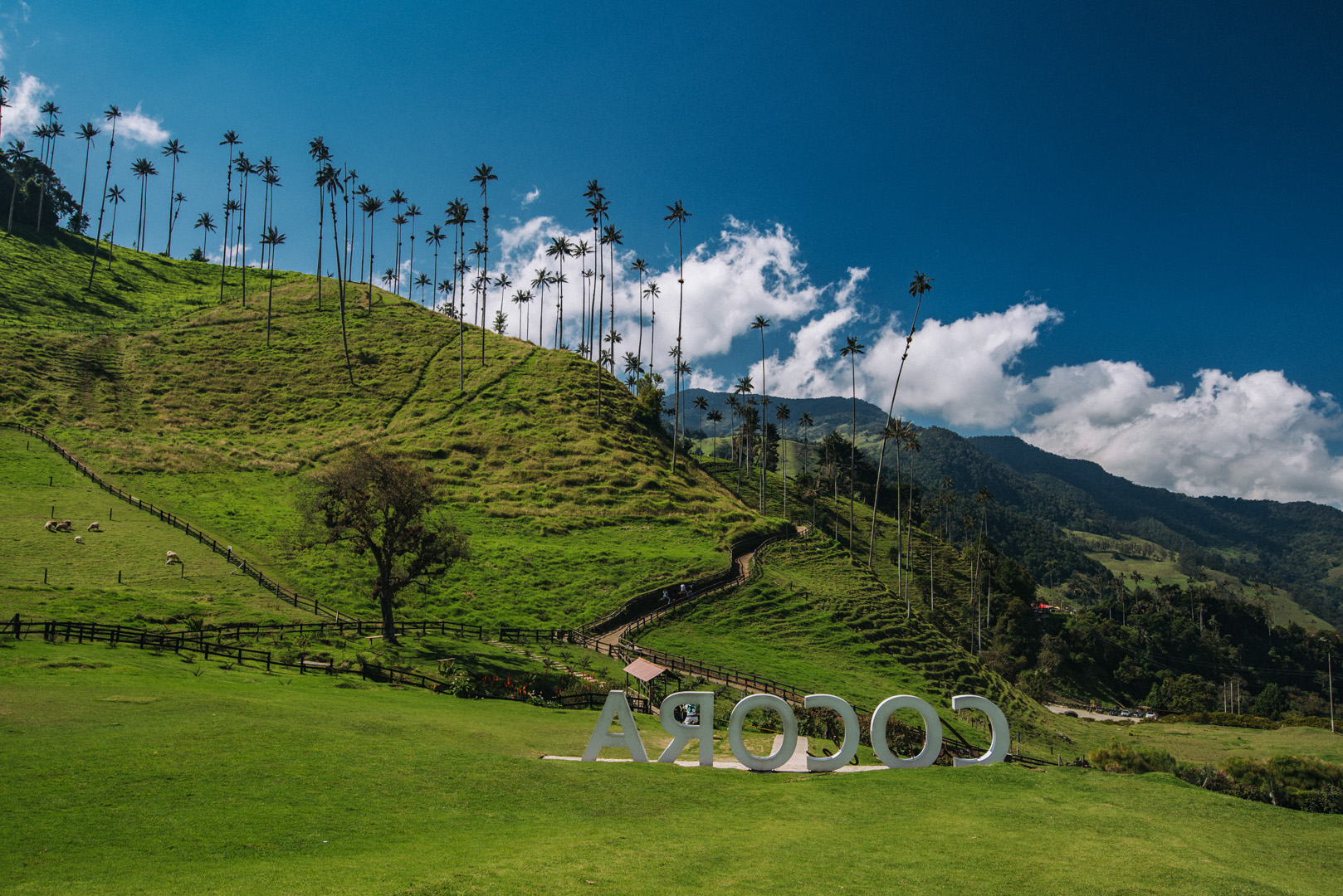
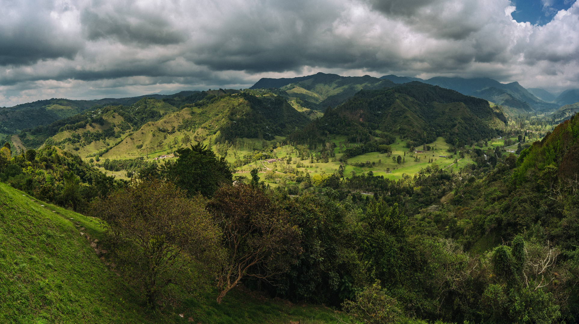