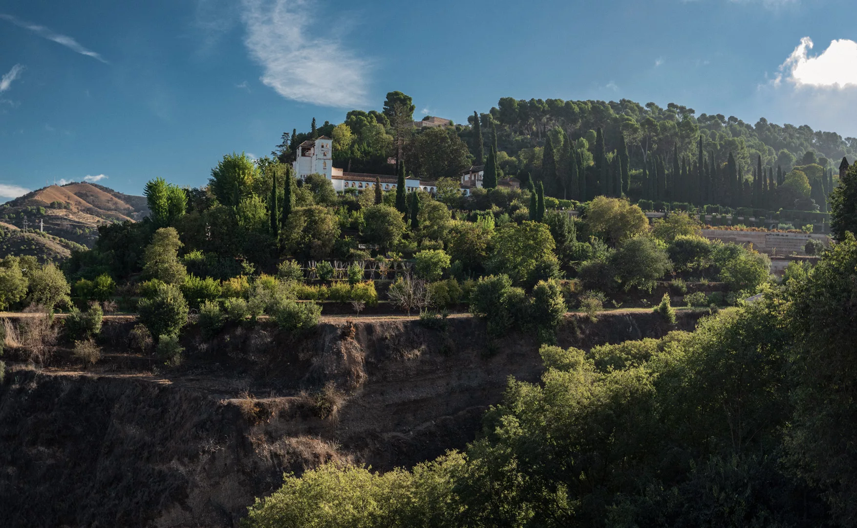
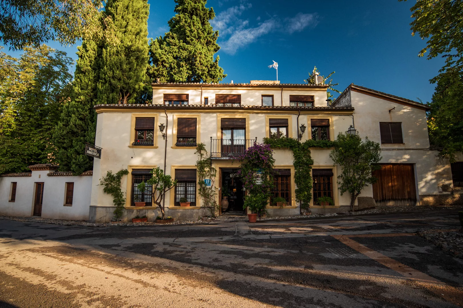
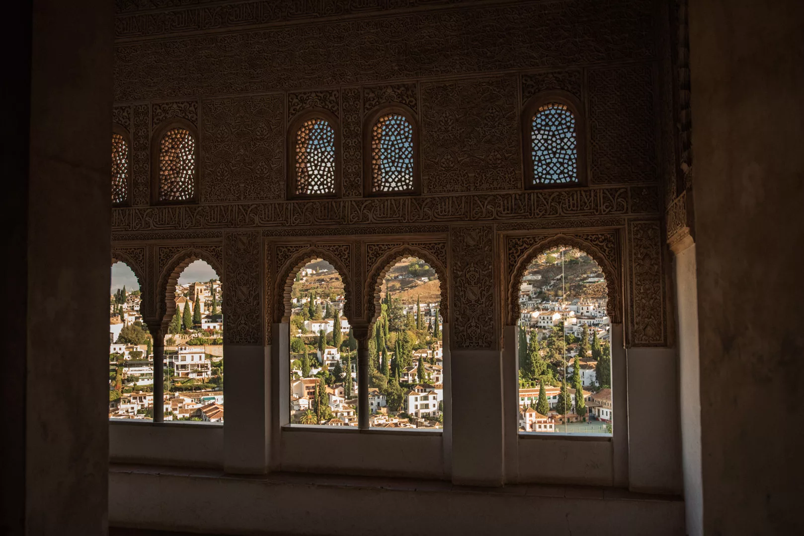
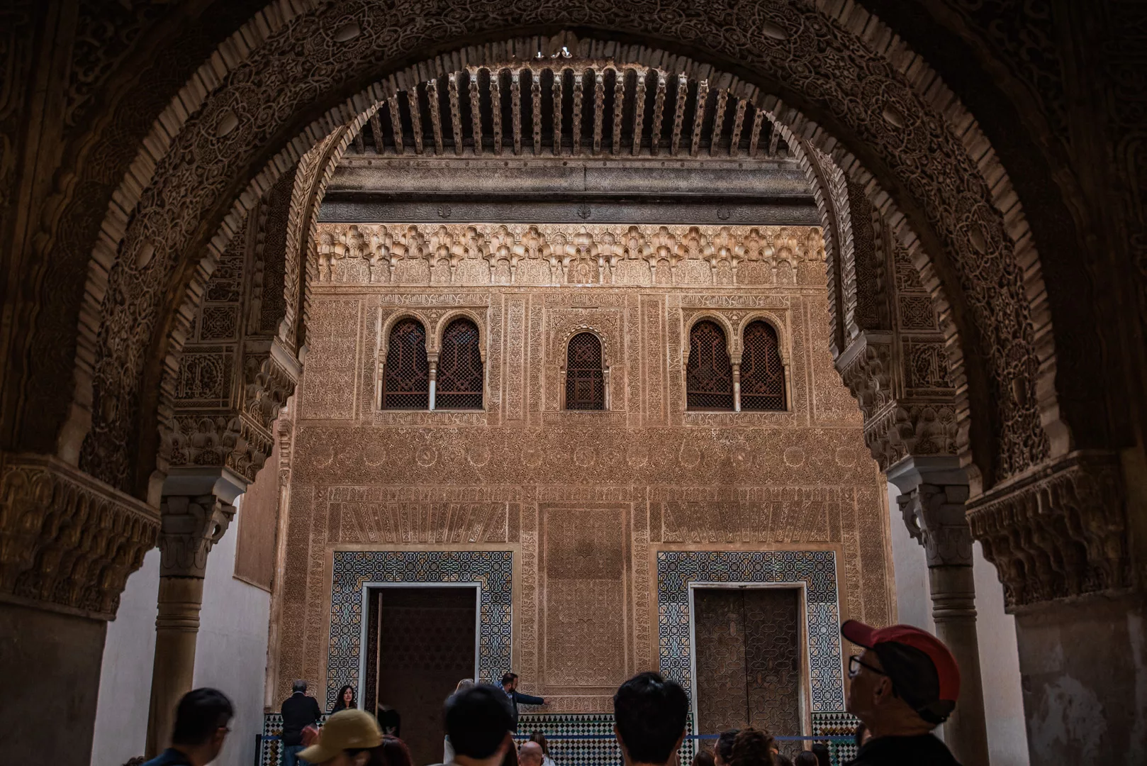
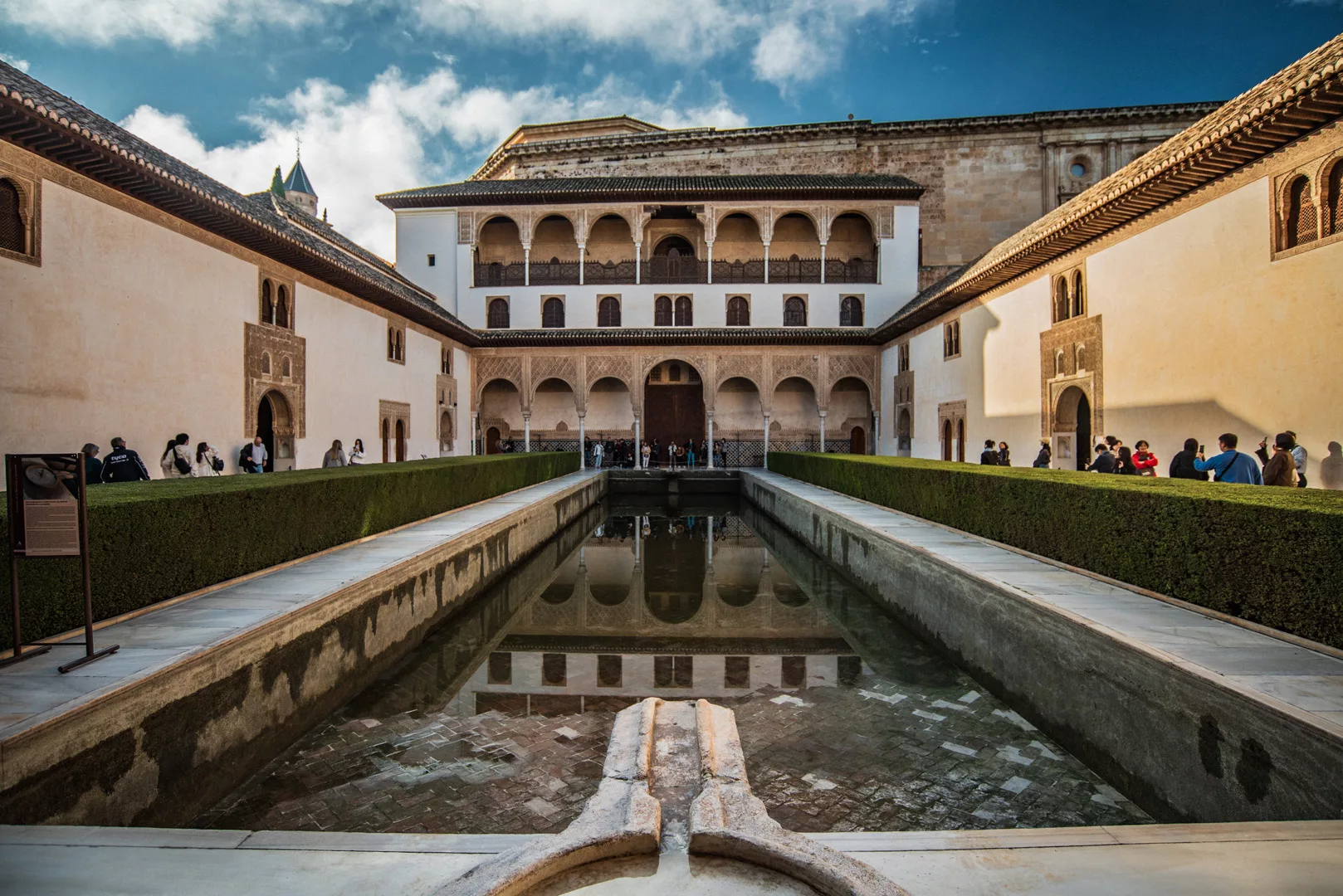
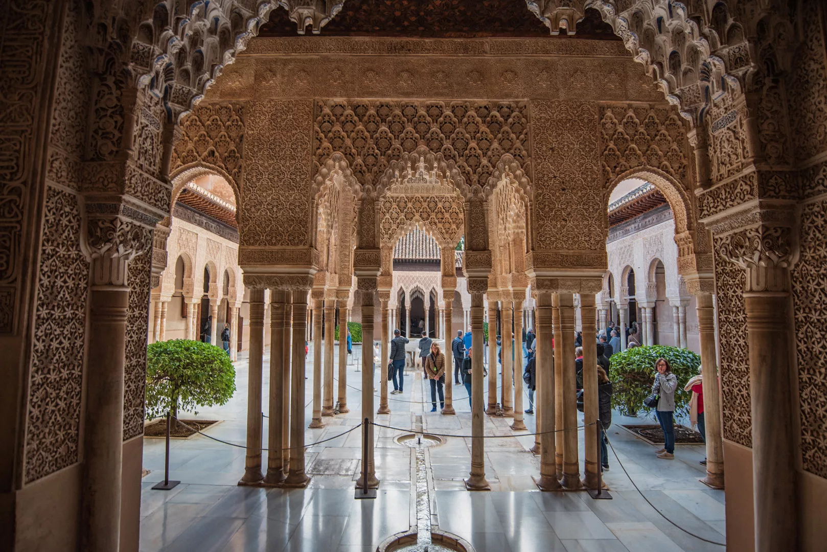
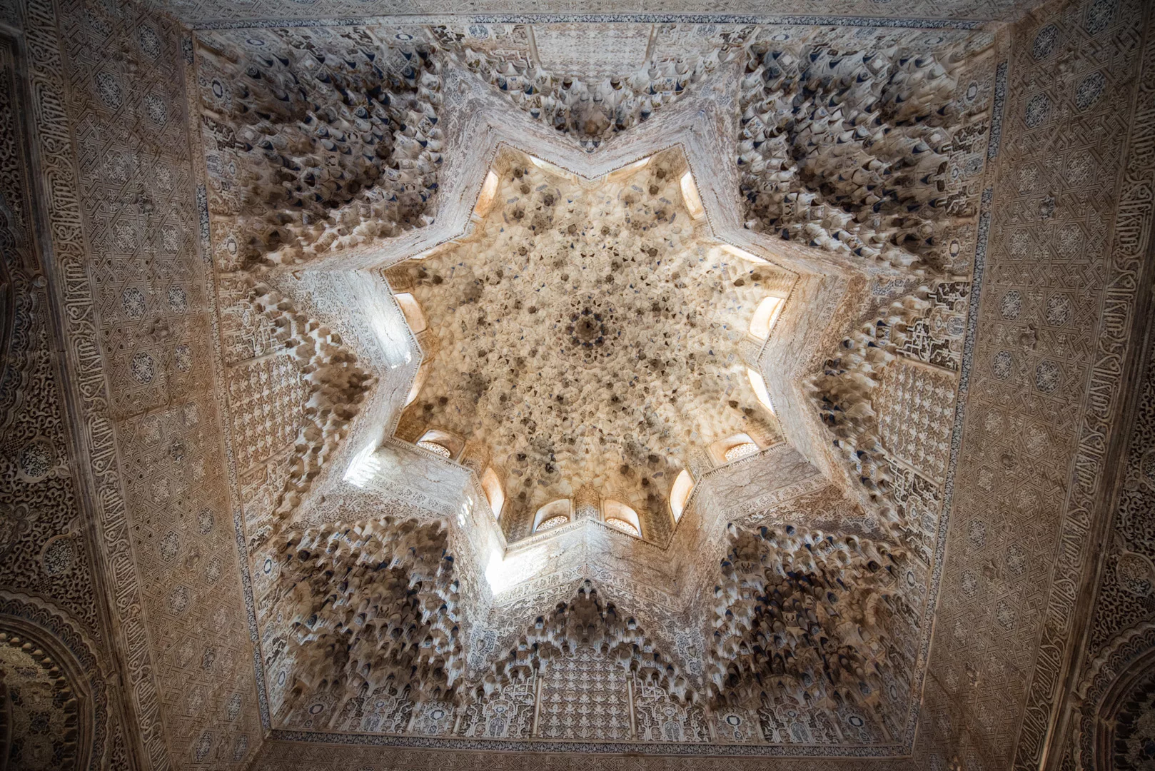
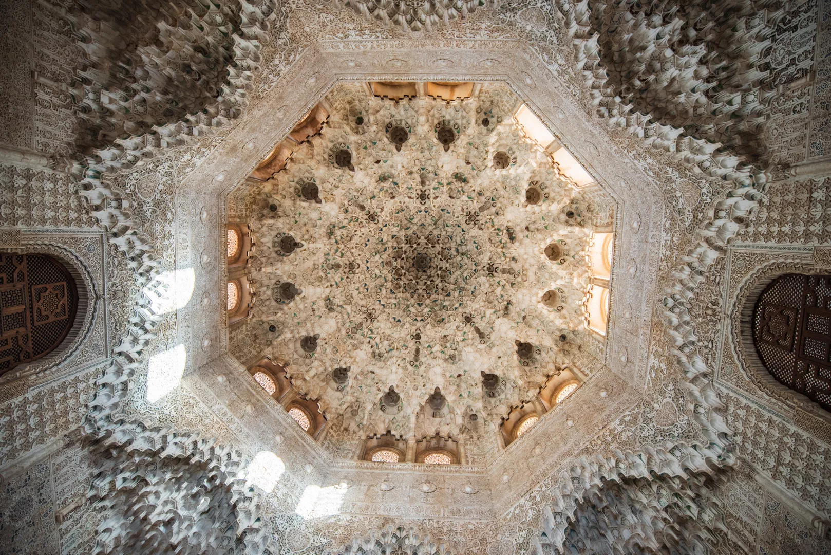
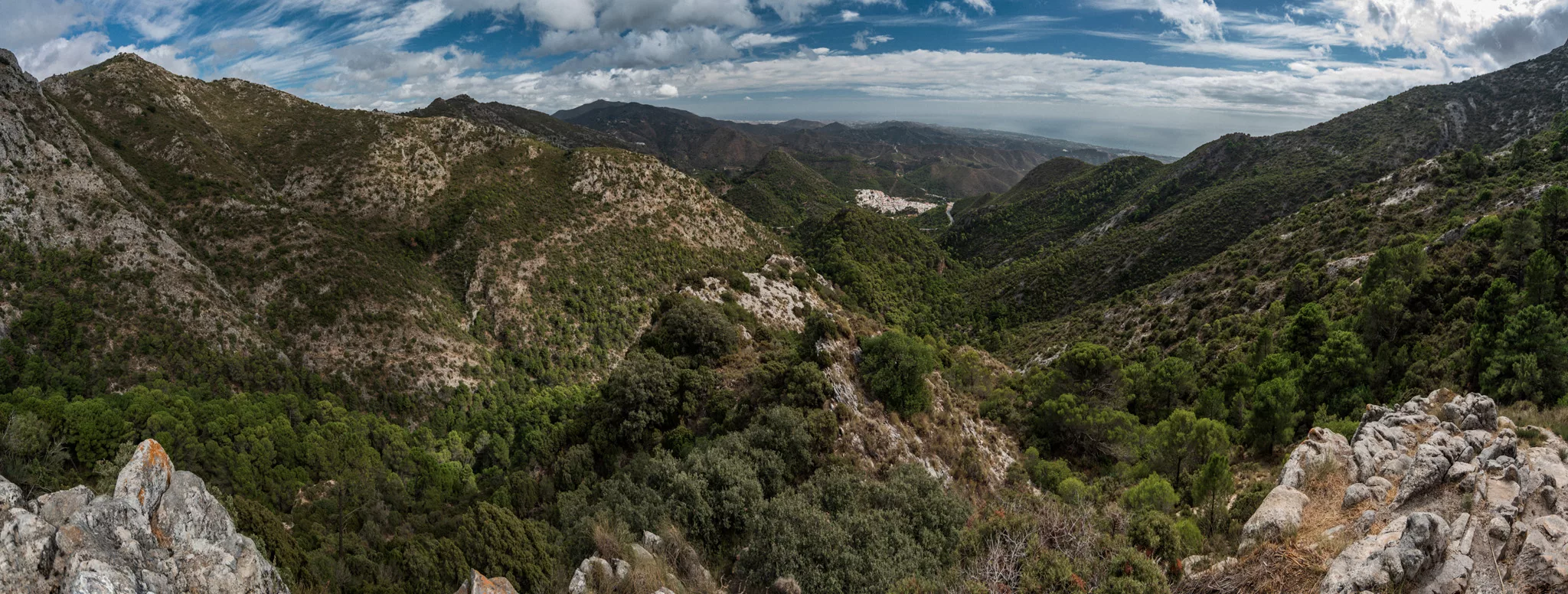
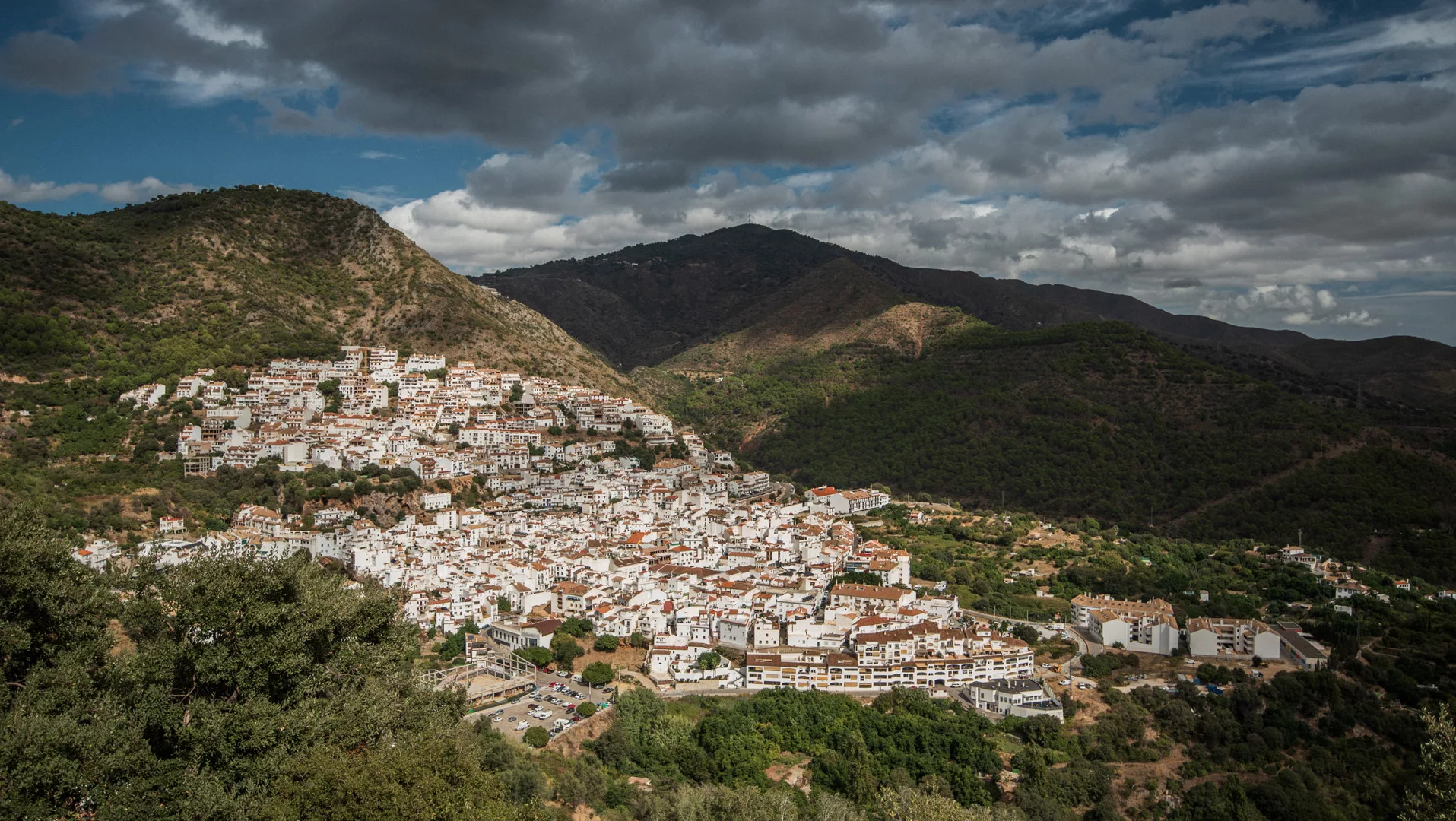
 Travels
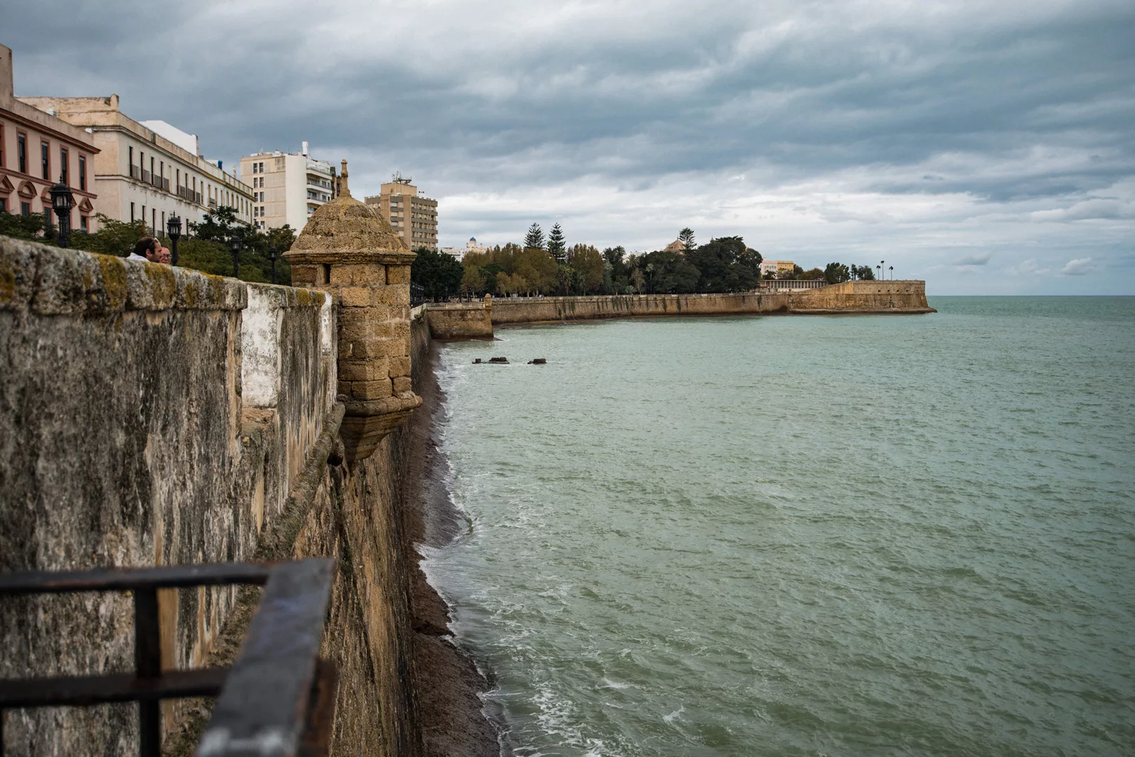
Cádiz
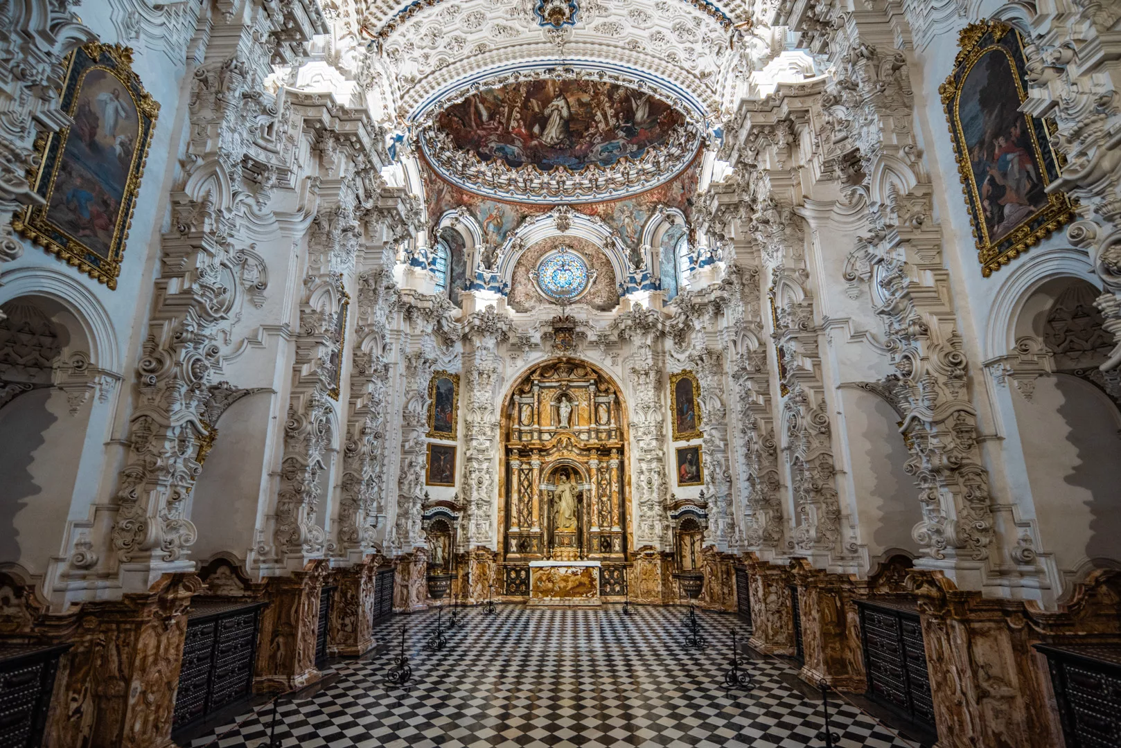
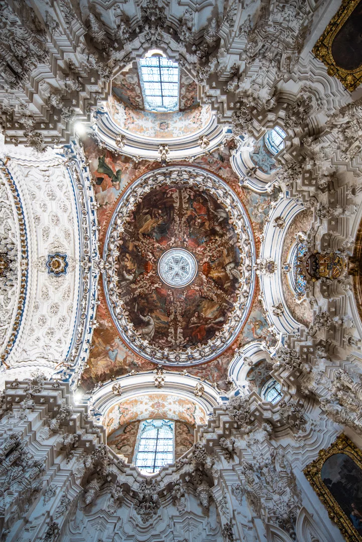
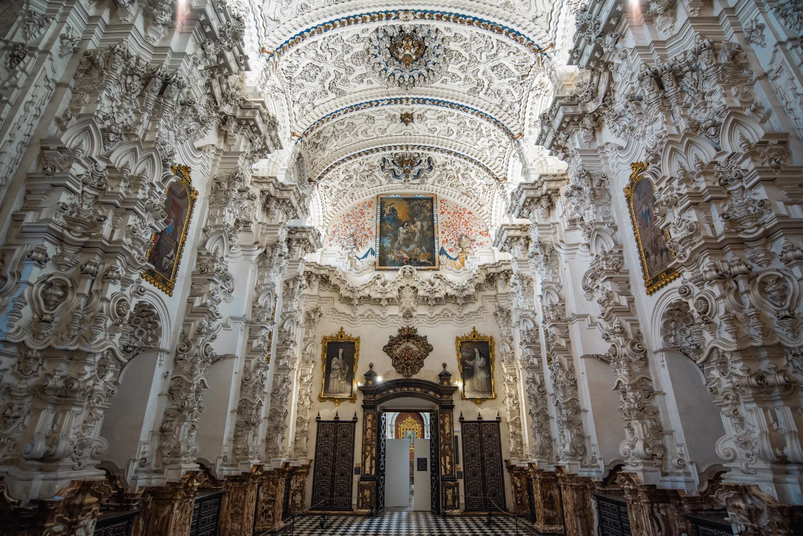
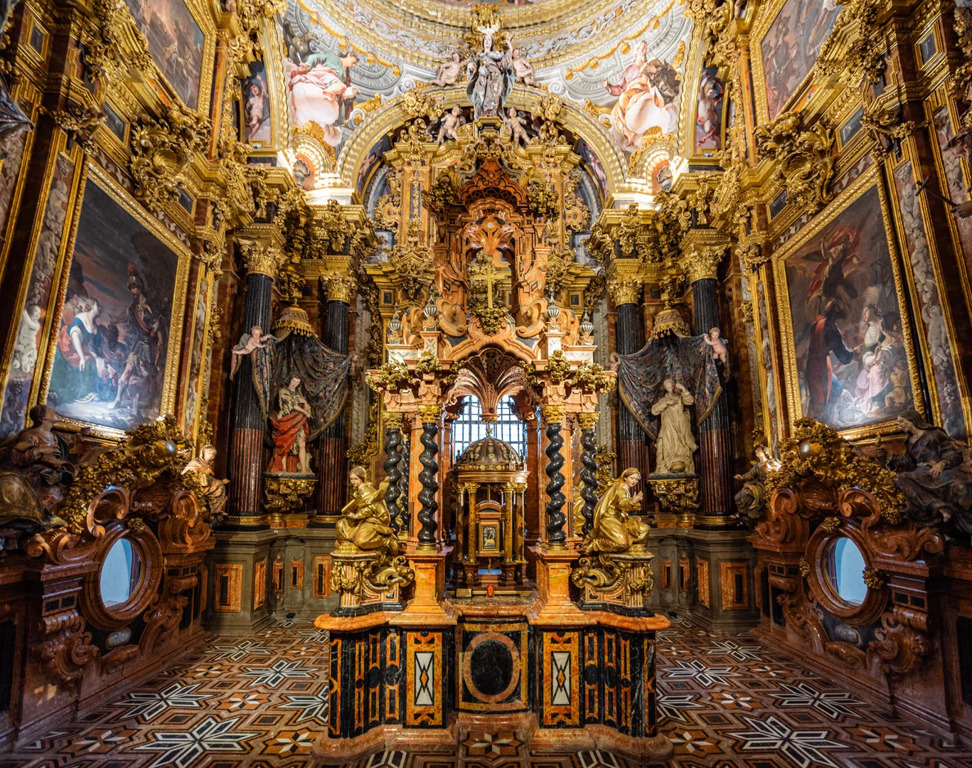
Cádiz (36°32’ N 6°18’ W) is a city in Andalucia which throughout history was a very important harbor hence it was a rich city, has a lot of fortifications and impressive buildings.
North-west side of fortification walls.
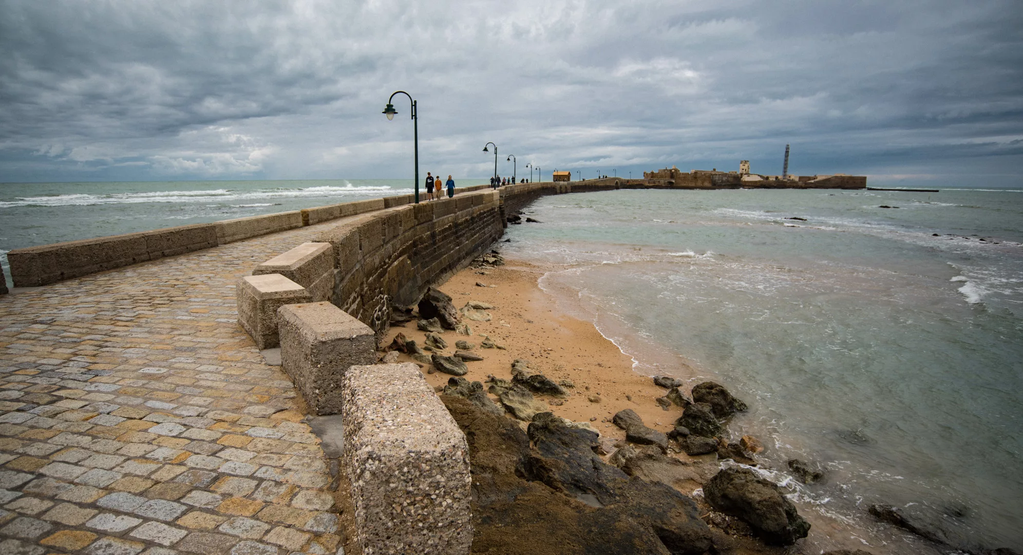
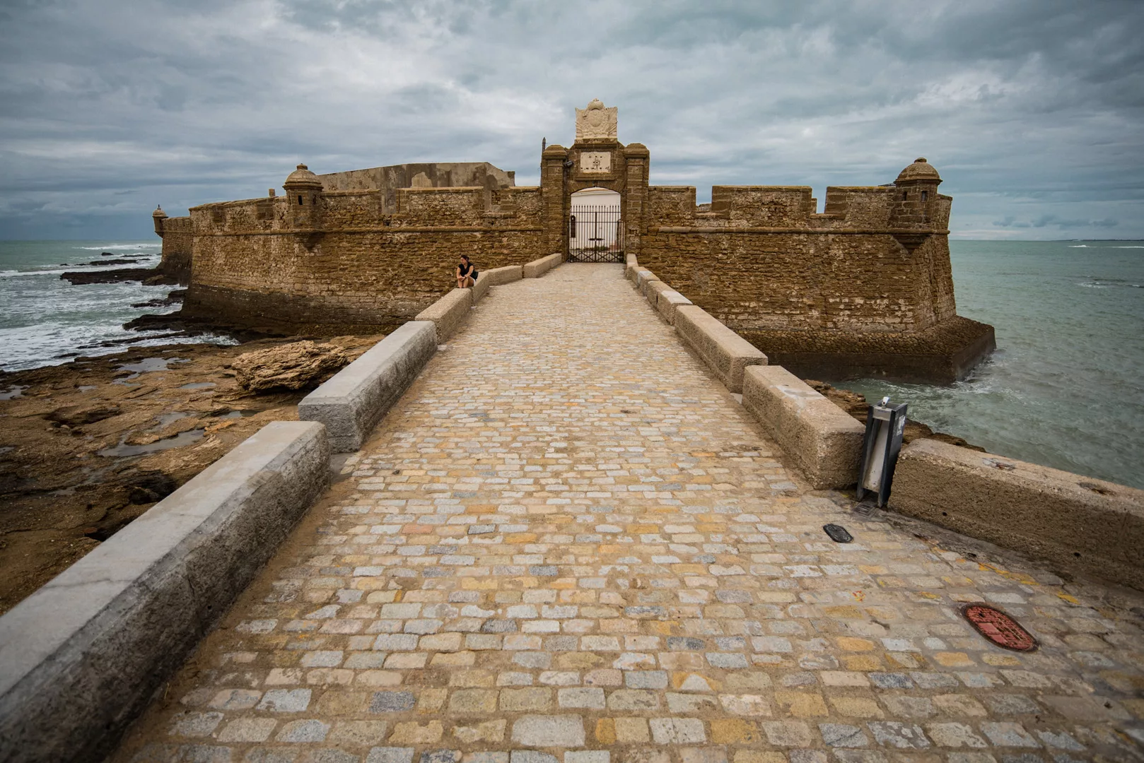
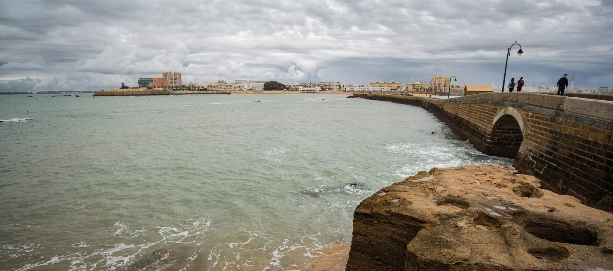
Castillo de San Sebastian (36°31’40″ N 6°18’49″ W, on the right side of the picture) seen from Castillo de Santa Catalina (36°31’58″ N 6°18’28″ W).
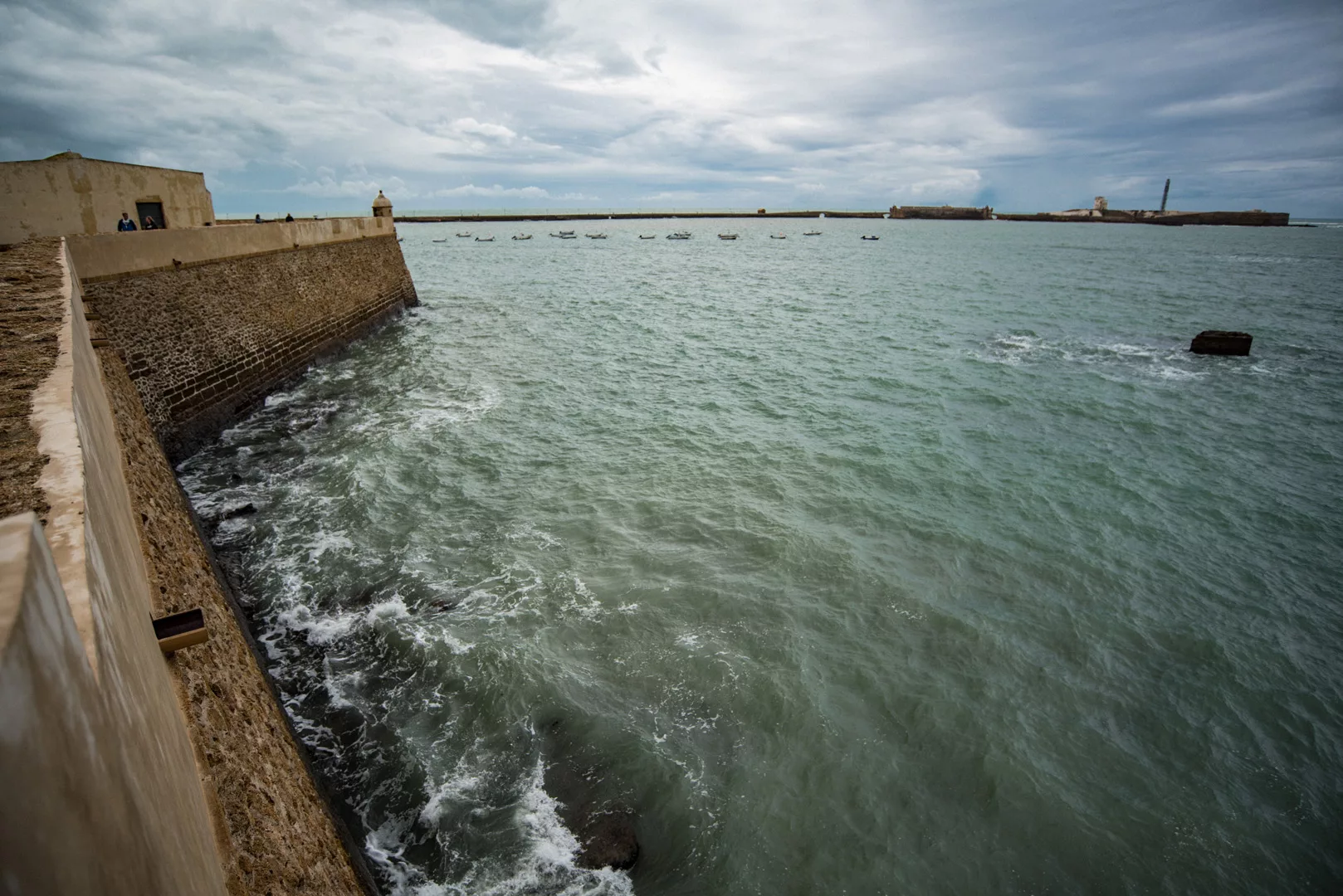
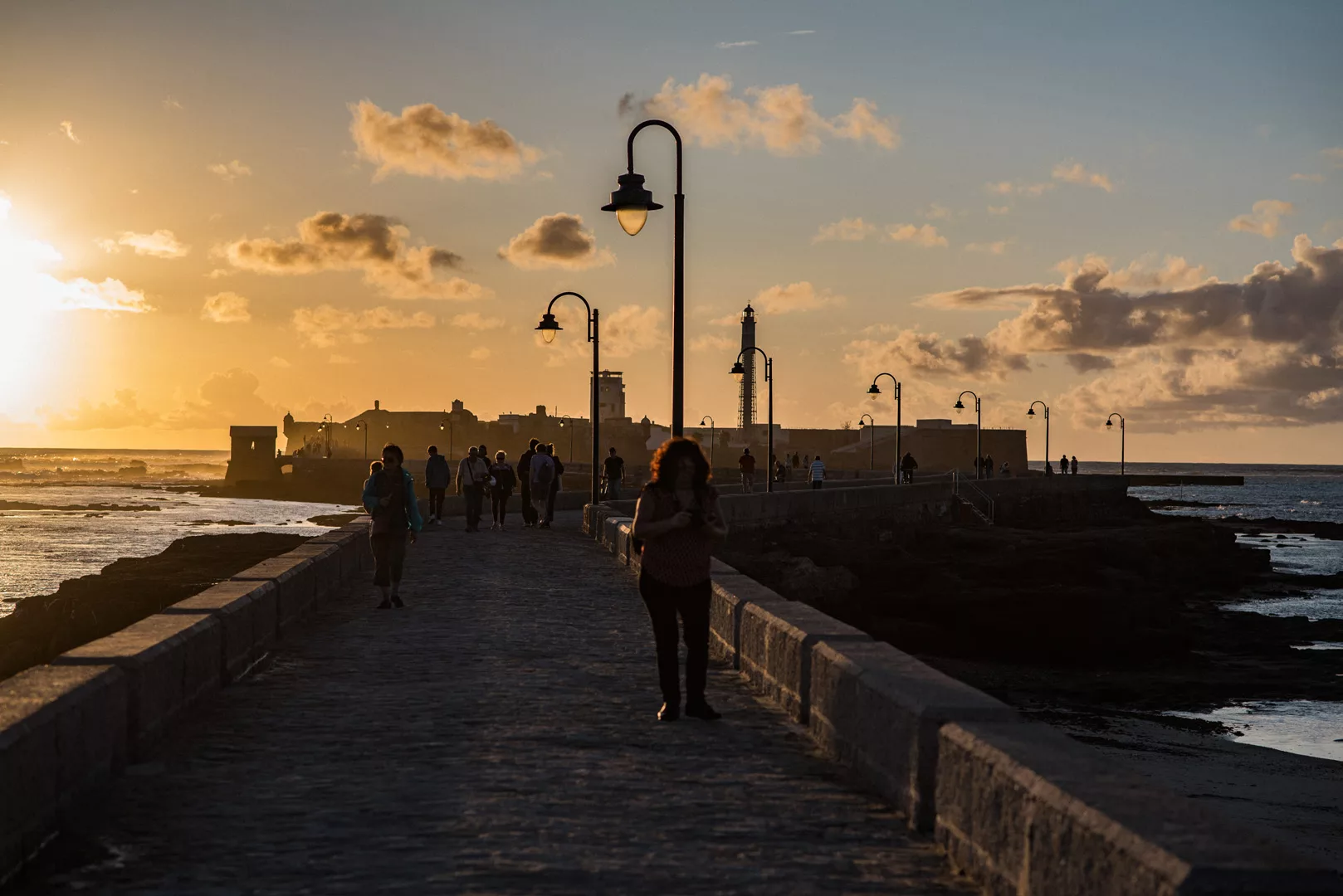
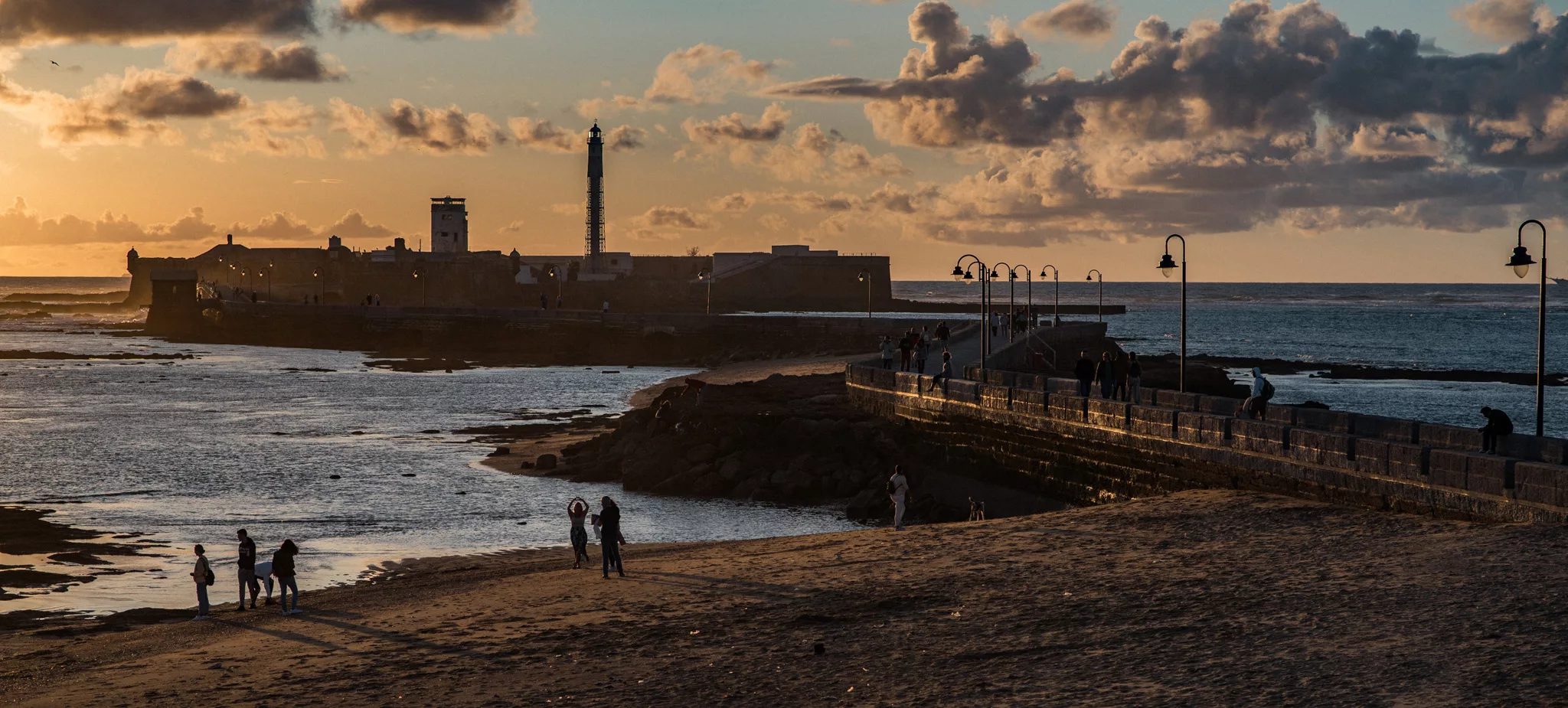
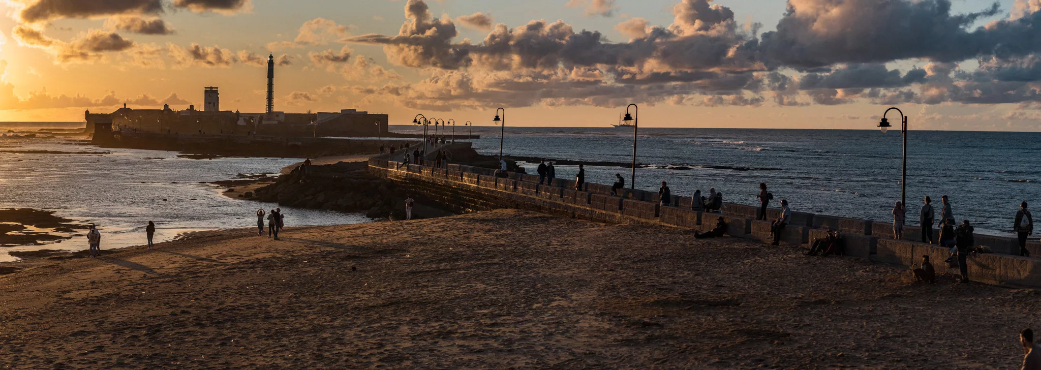
Castillo de San Sebastian seen from the middle of the road connecting this castle to the mainland (36°31’43″ N 6°18’33″ W).


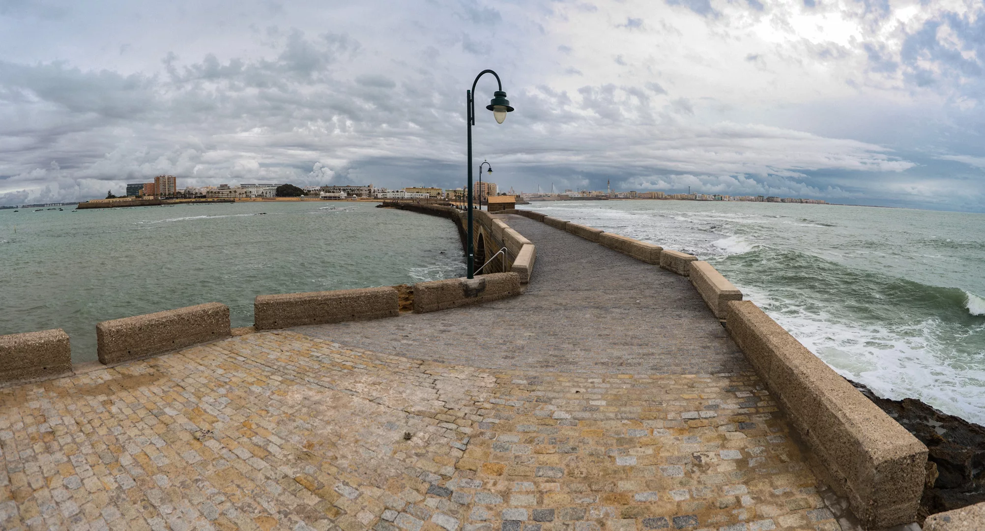
West side of Cádiz with Castillo de Santa Catalina seen on the left side of the picture.
South side of Cádiz seen from near Escuela Infantil Virgen de la Palma (36°31’40″ N 6°18’08″ W).

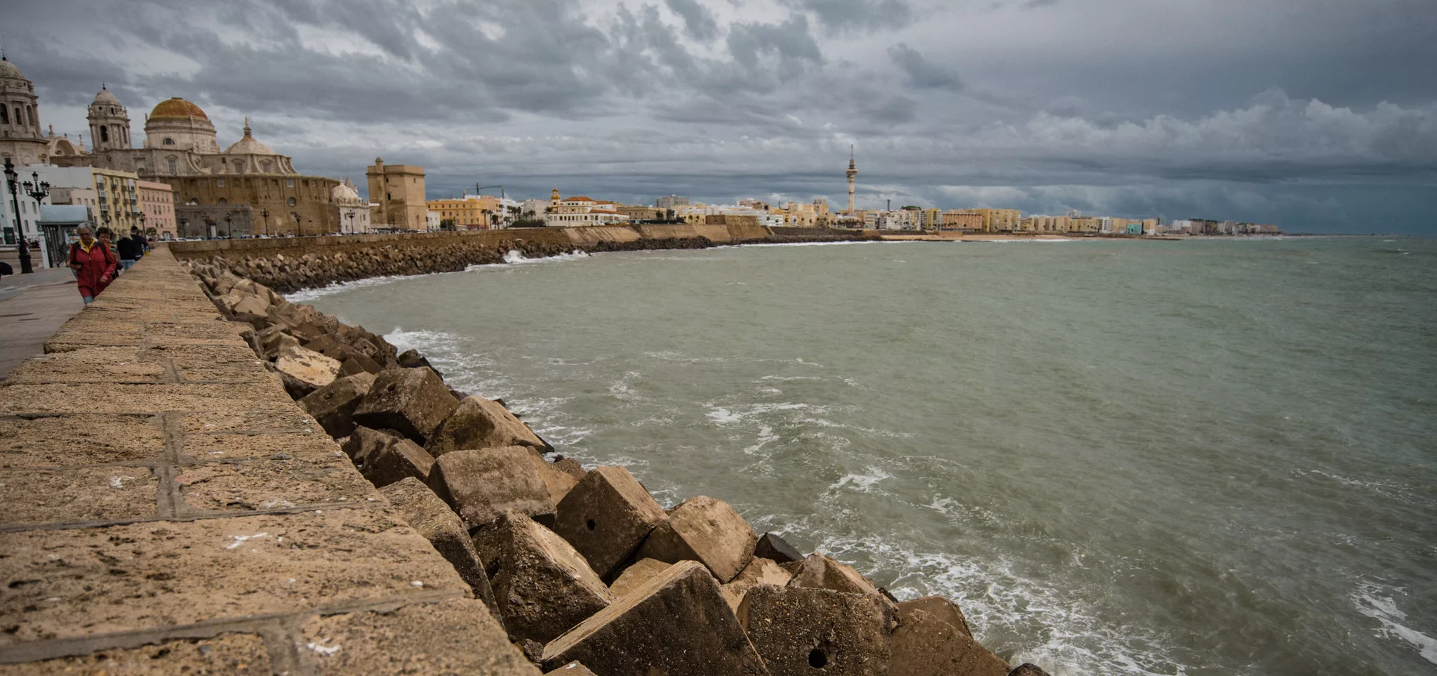
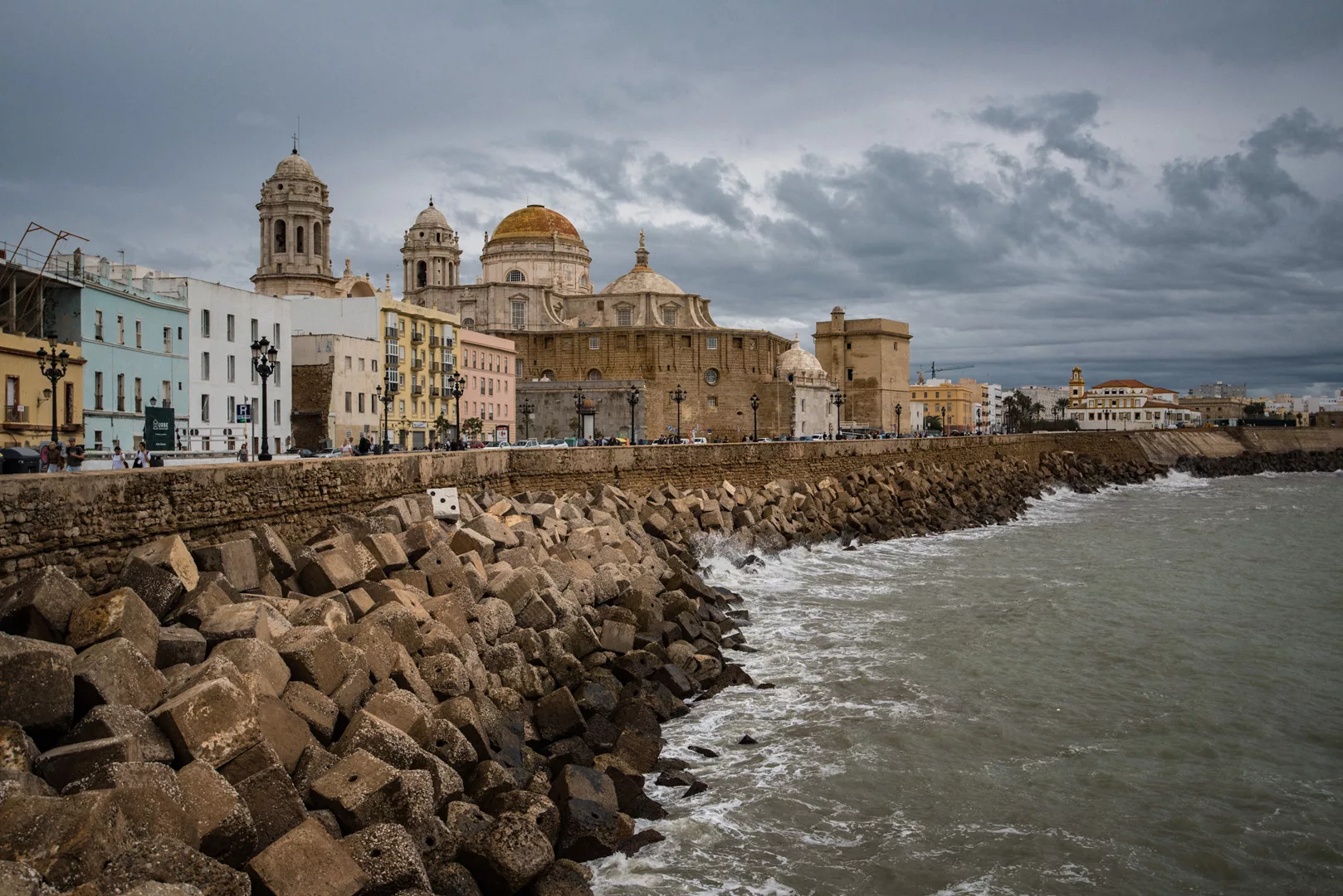
South side of Cádiz seen from Mirador El Vendaval (36°31’44″ N 6°17’52″ W, view to the east).
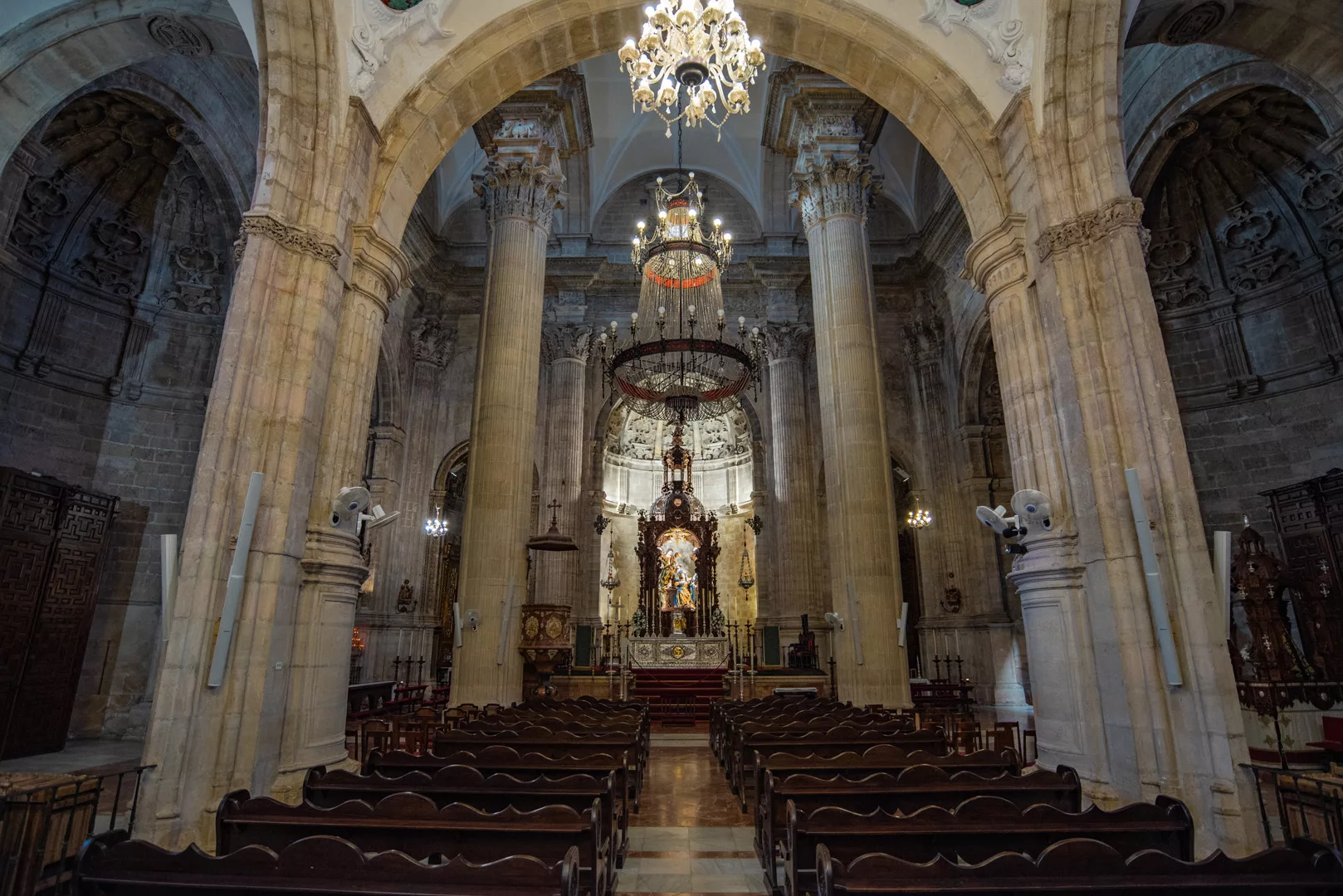
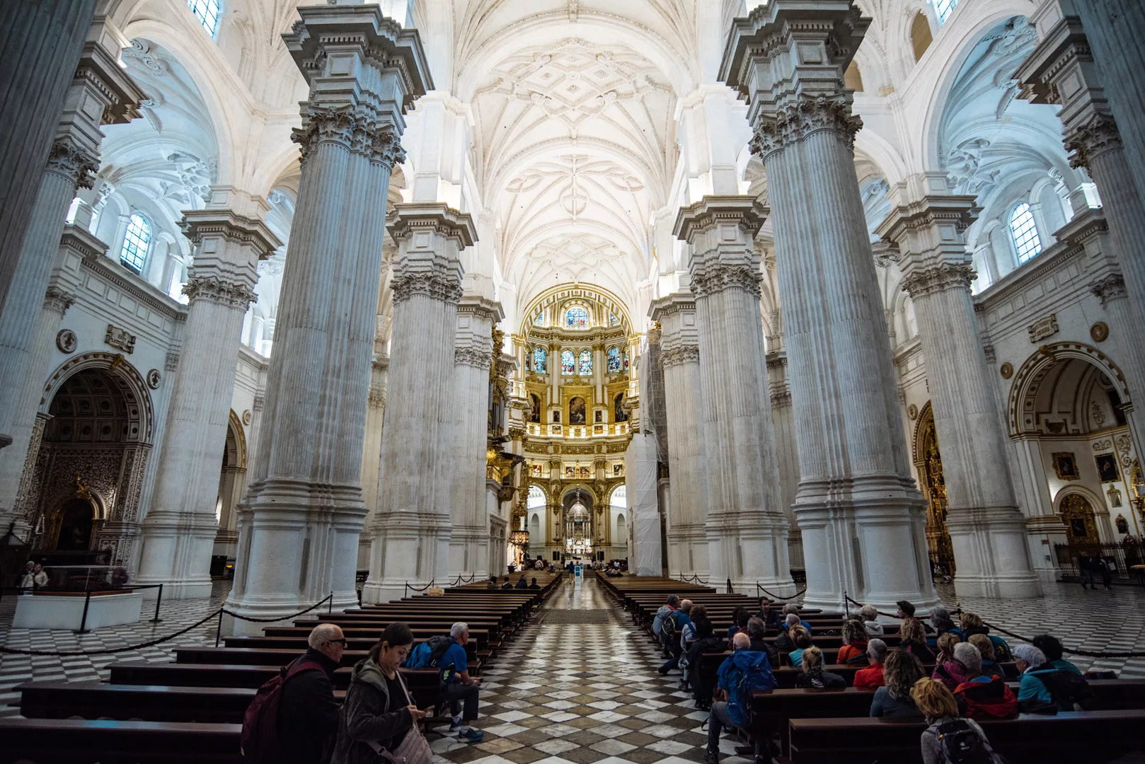
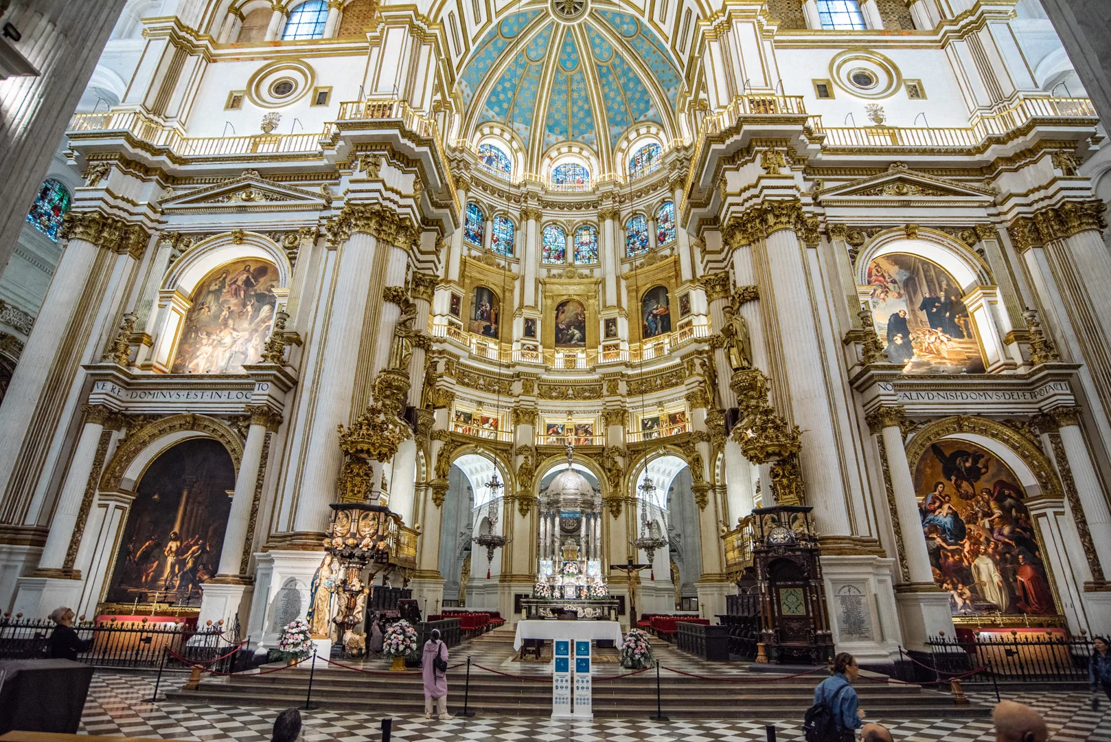
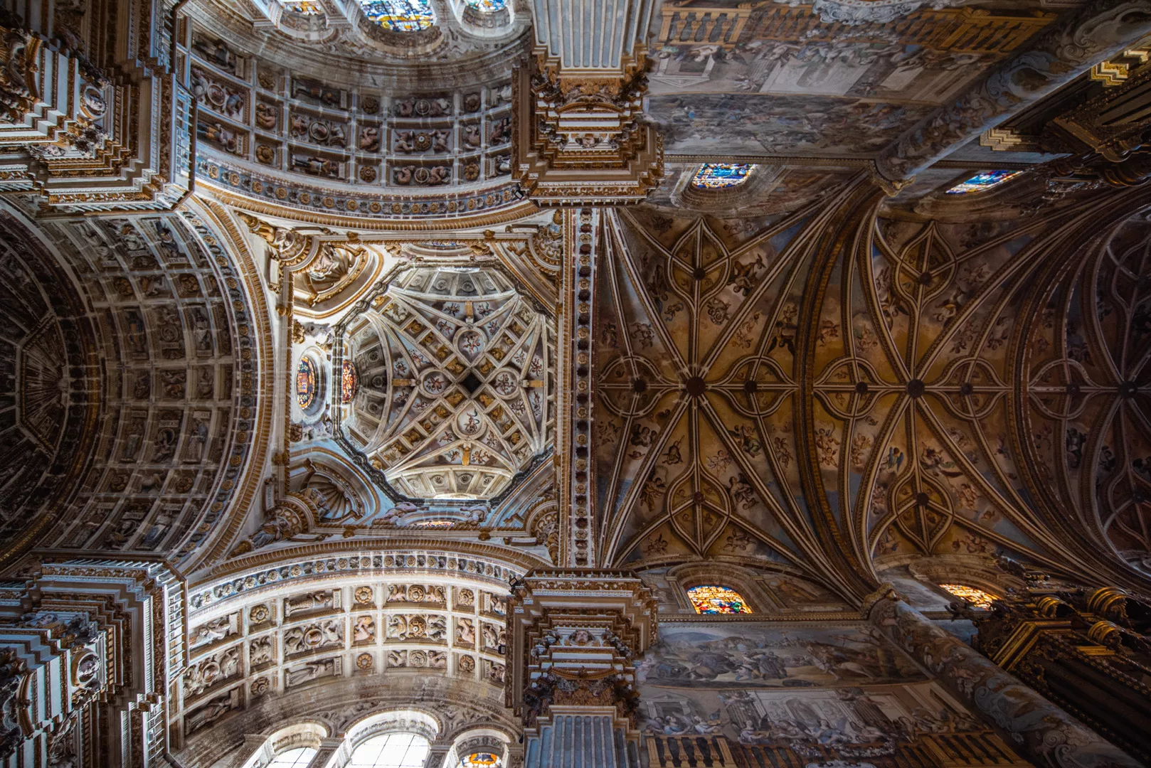
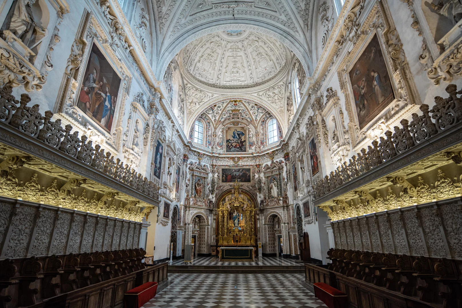
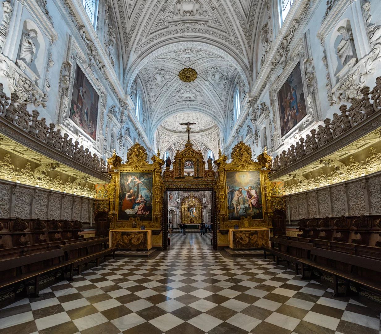
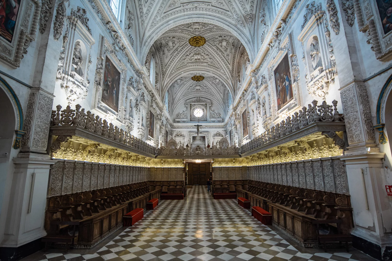
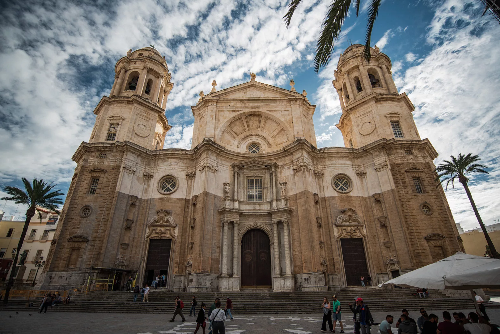
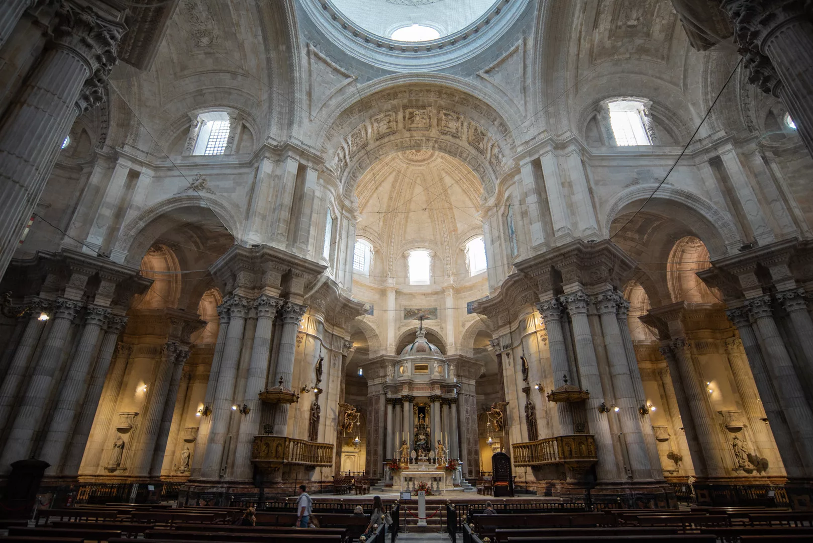
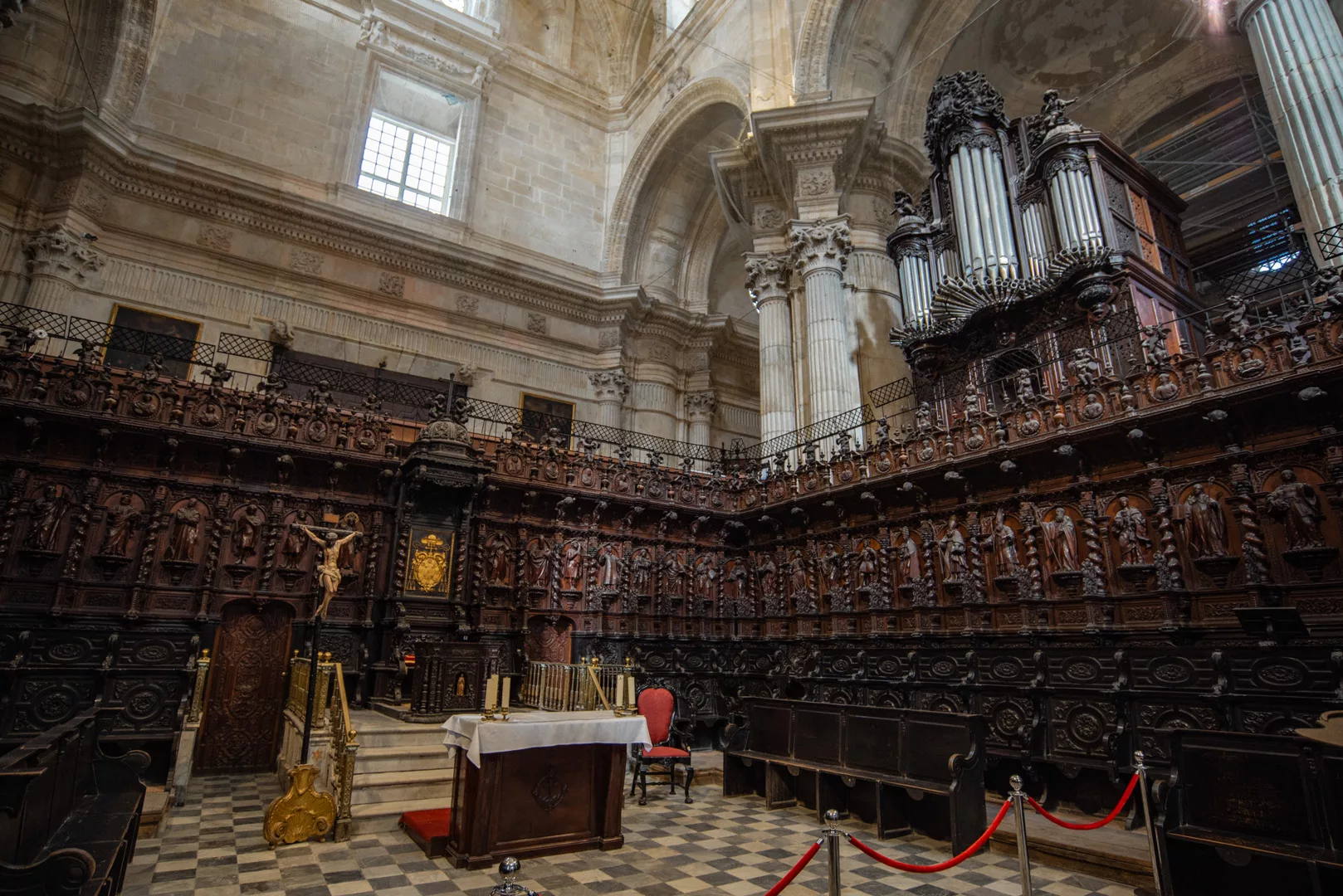
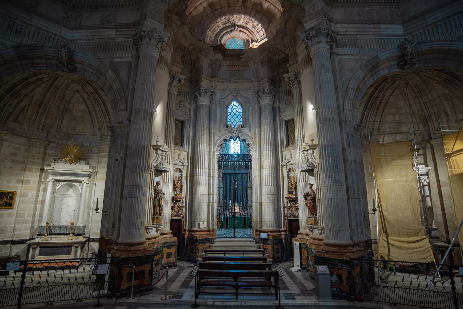
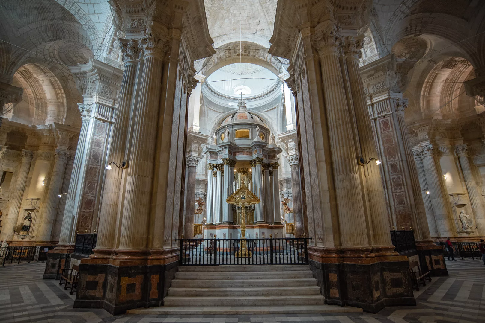
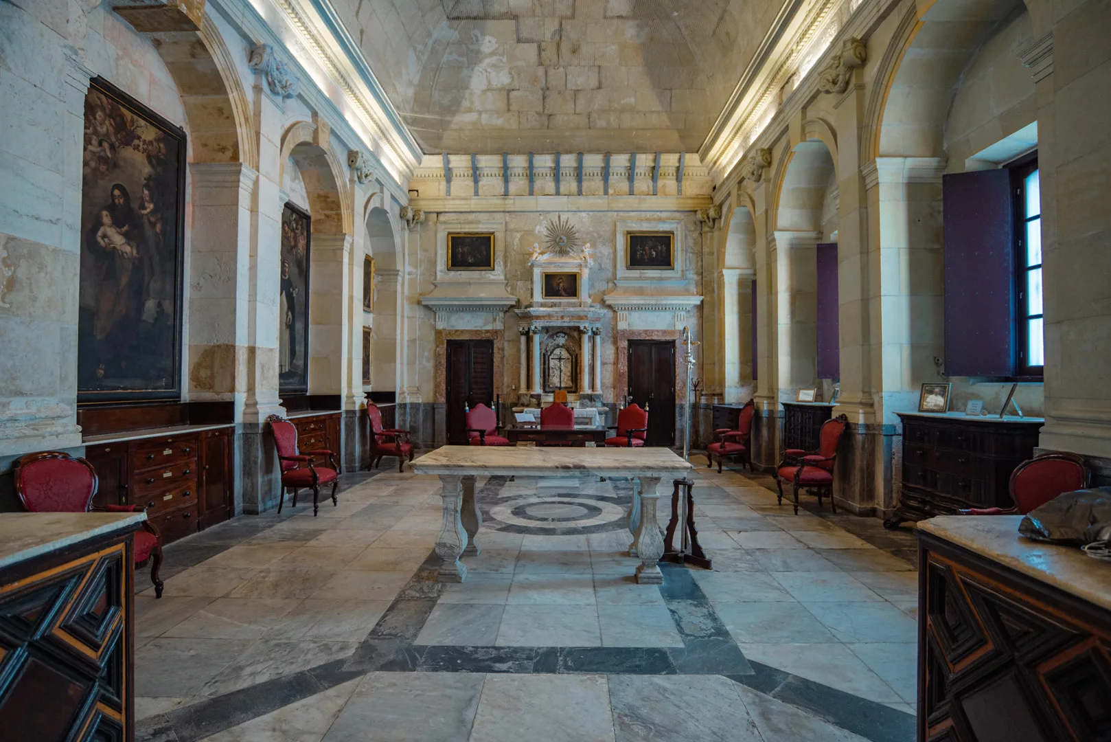
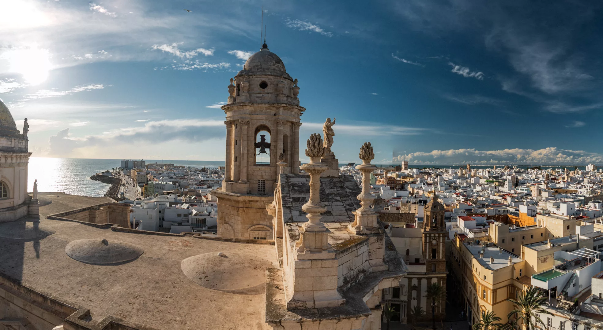
Catedral de Cádiz (36°31’45″ N 6°17’43″ W).
View from Catedral de Cádiz towards west side of Cádiz.
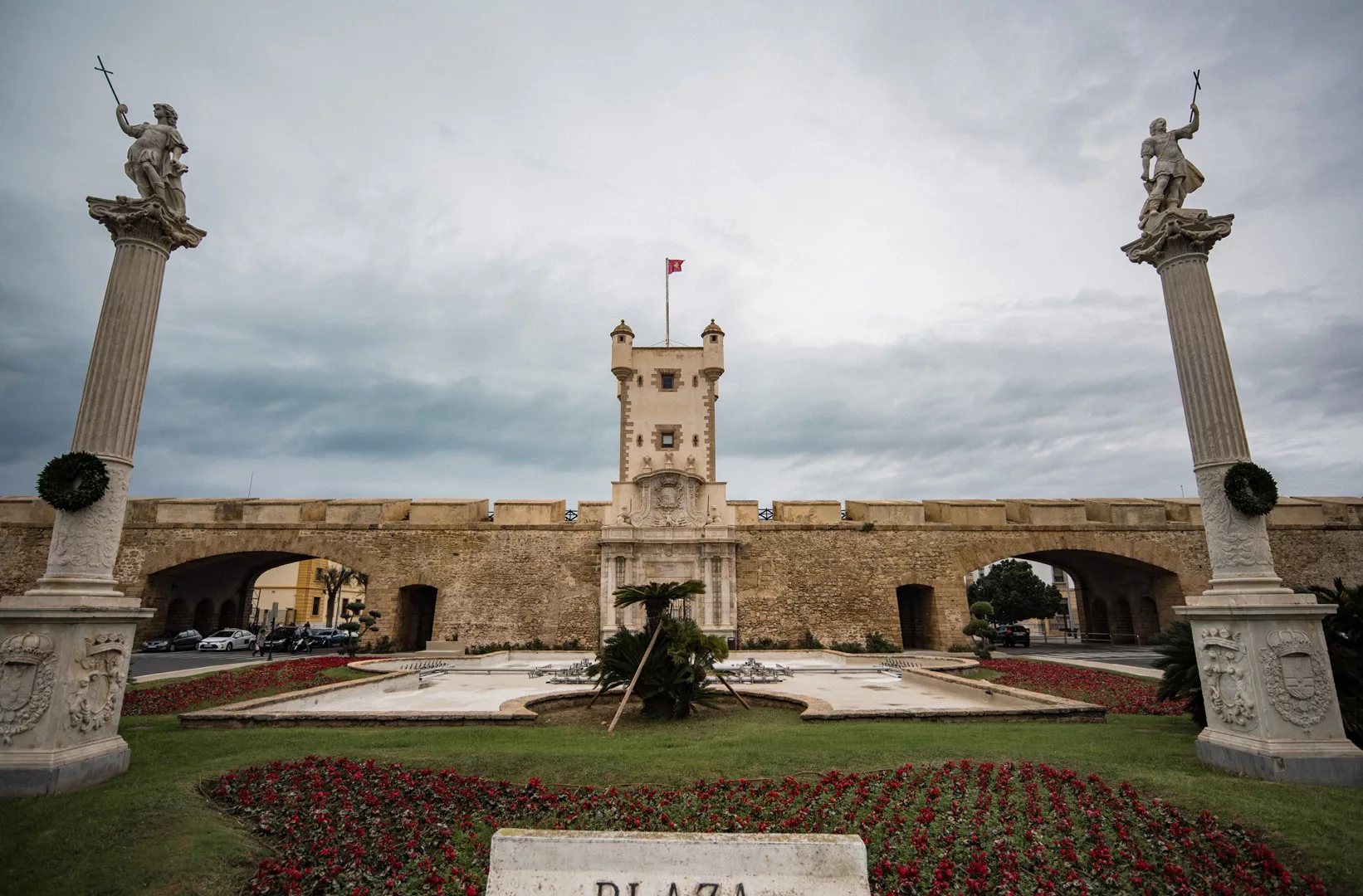
Puerta de Tierra (36°31’34″ N 6°17’19″ W).