Landscape

Ubud and central Bali

Ubud (8°31’ S 115°16’ E) is a city in south-central Bali, it is considered a cultural central of the island and is the most northern place most tourist go and thus the most northern place where you can use Grab.

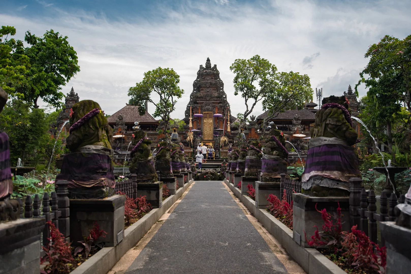
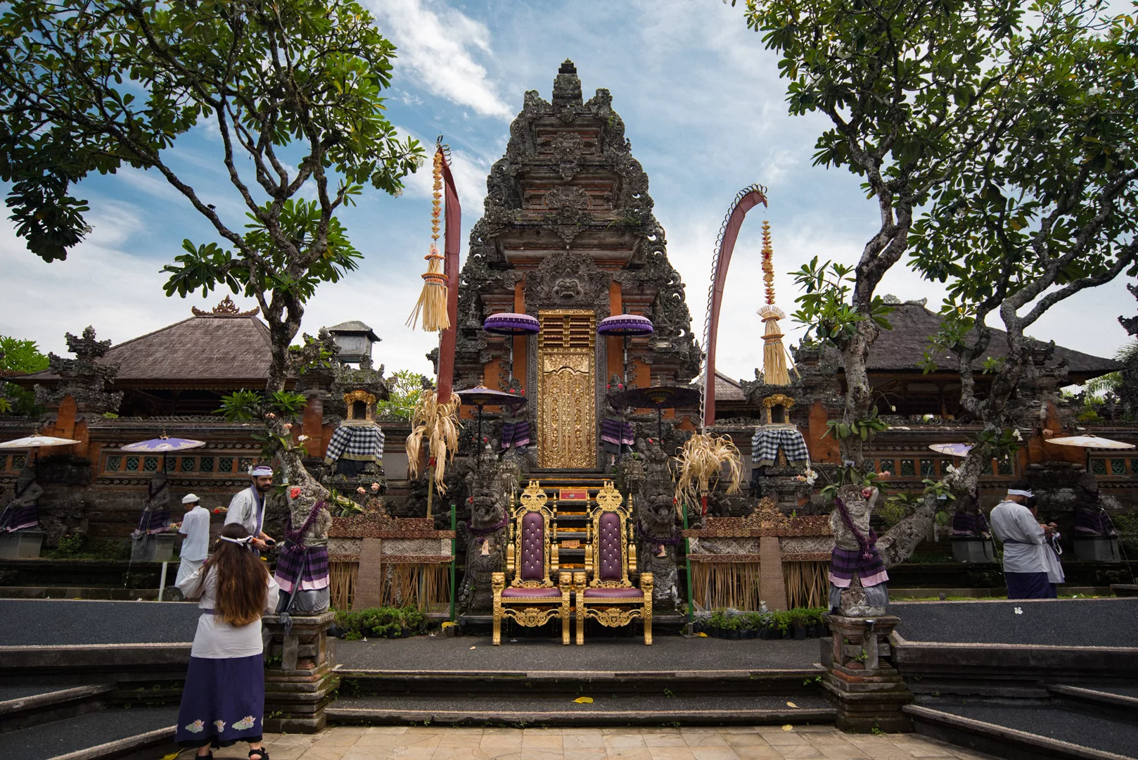
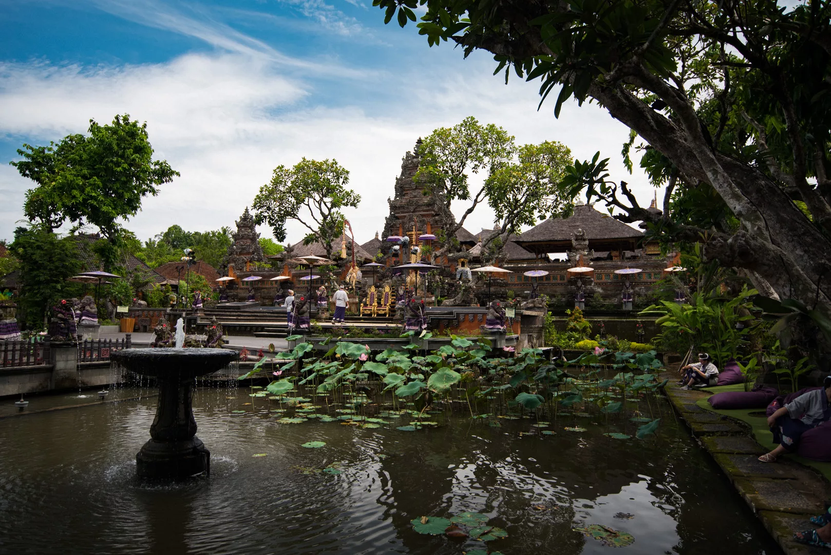
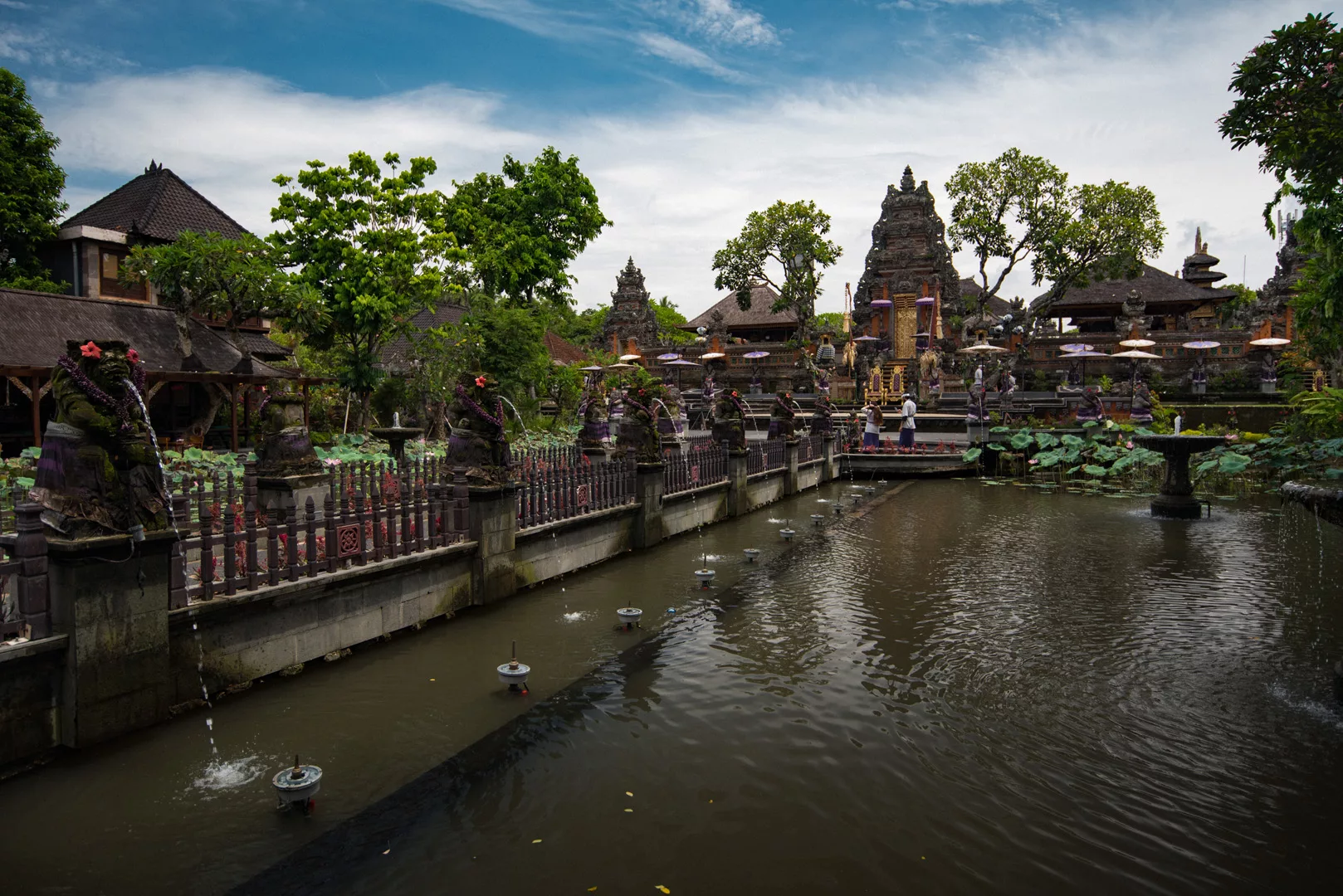
Ubud Palace (8°30’24″ S 115°15’46″ E)
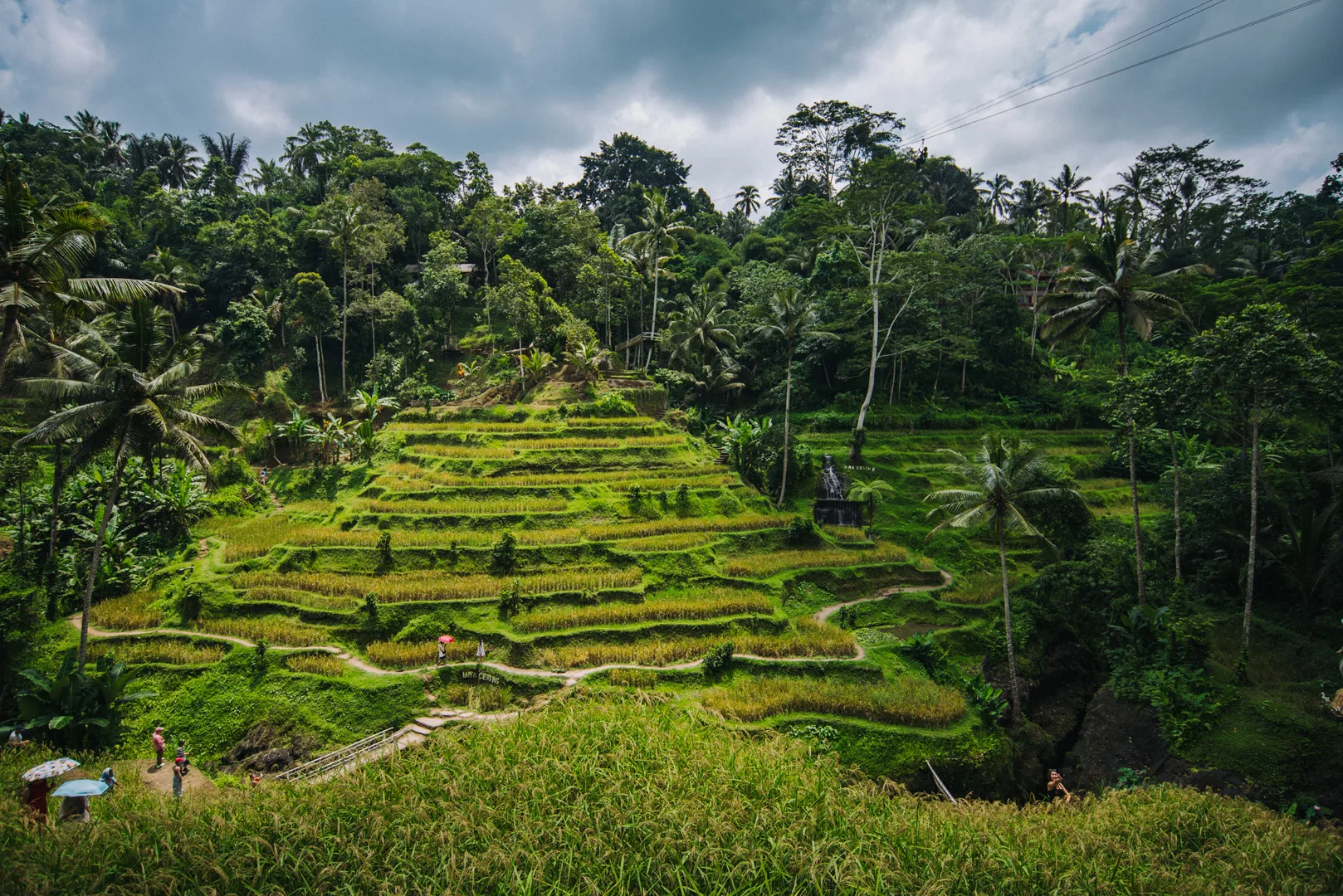
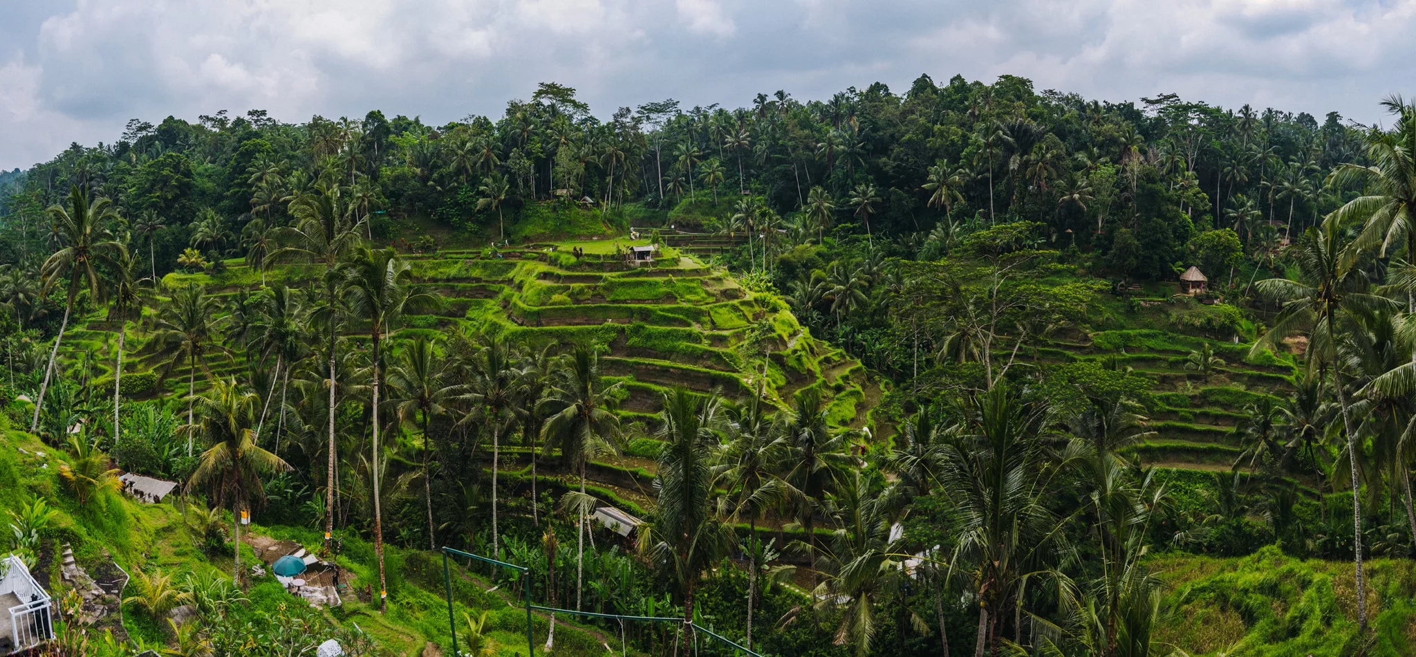
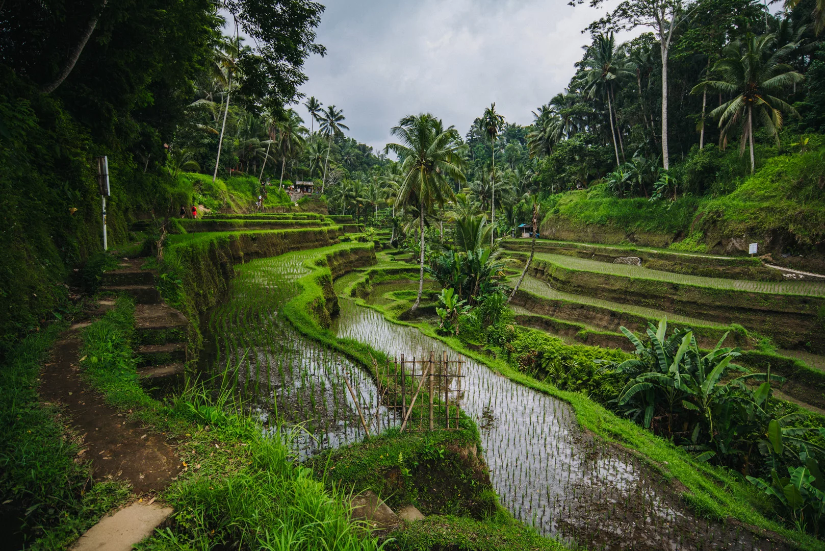
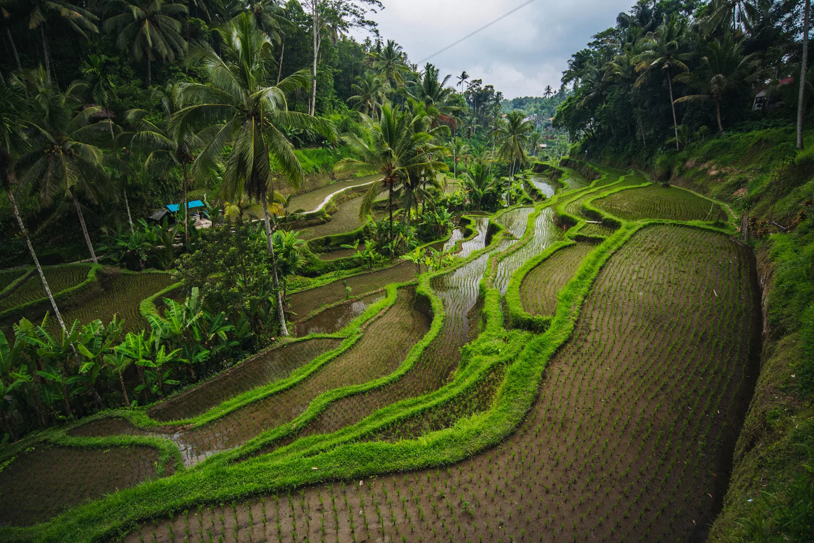
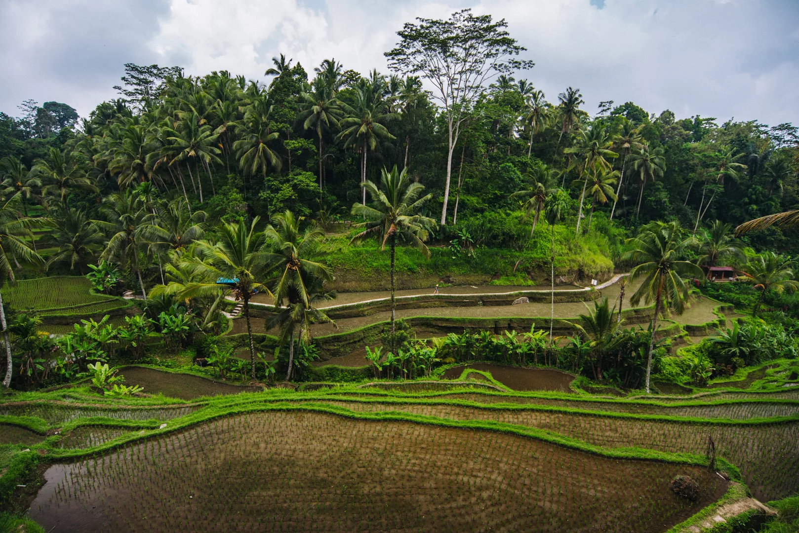
Tegalalang Rice Terrace (8°25’57″ S 115°16’46″ E)
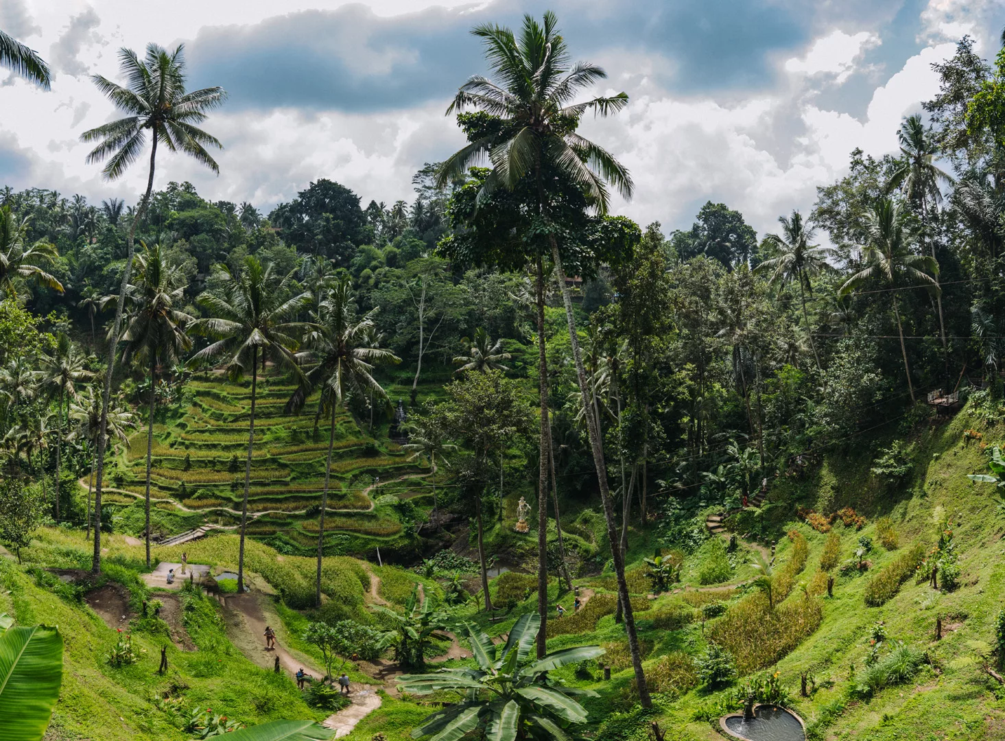
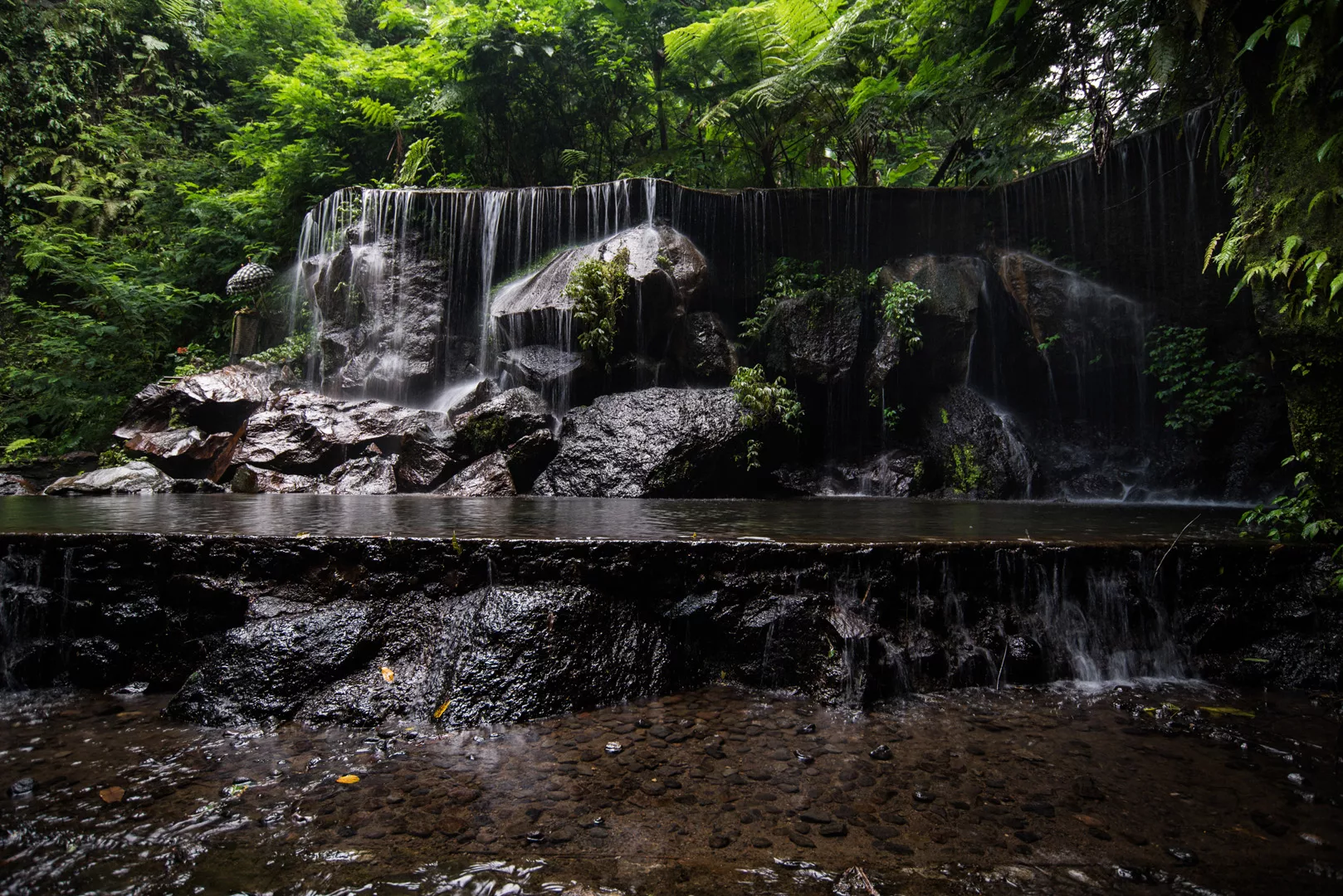
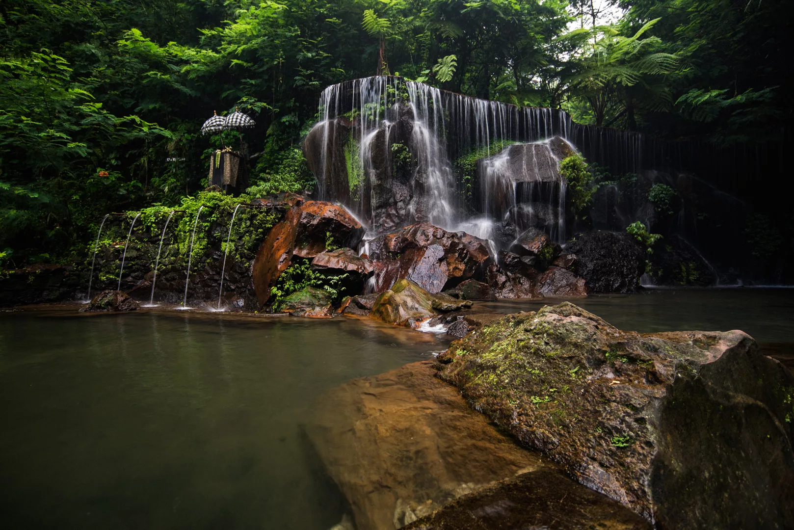
Goa Raja waterfall (8°26’31″ S 115°22’27″ E)
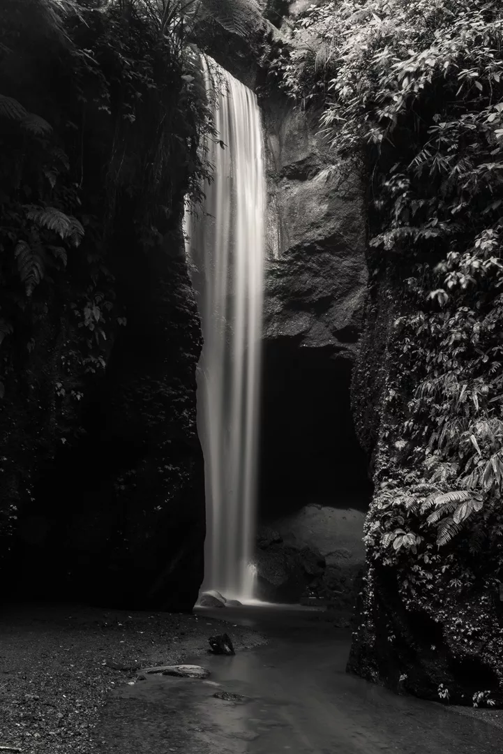
Yeh Bulan waterfall (8°26’59″ S 115°22’28″ E)
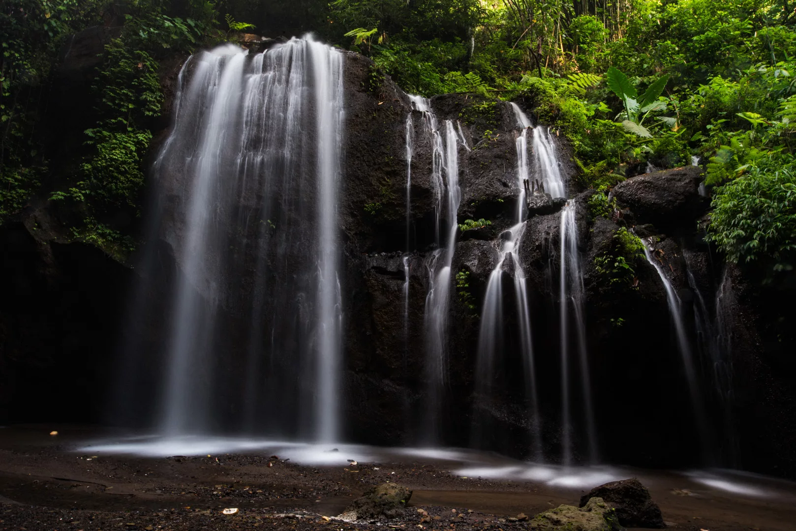
Dedari waterfall (8°30’02″ S 115°21’24″ E)
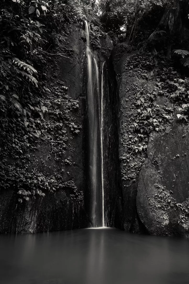
Suwat waterfall (8°29’11″ S 115°19’05″ E)
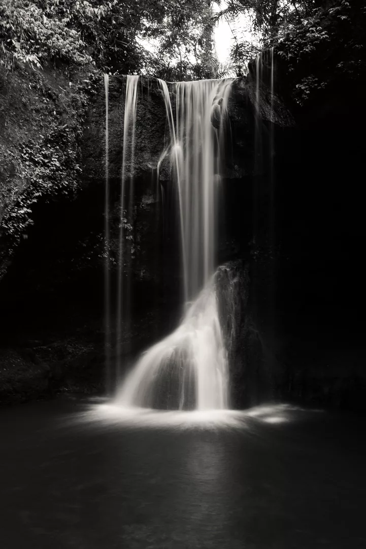
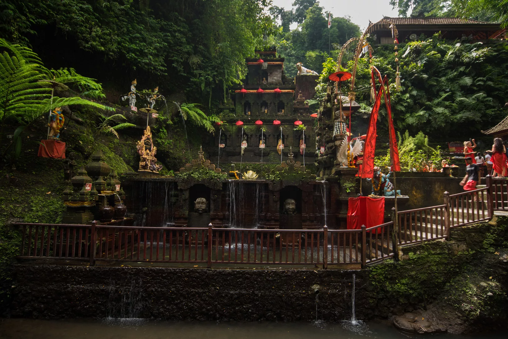
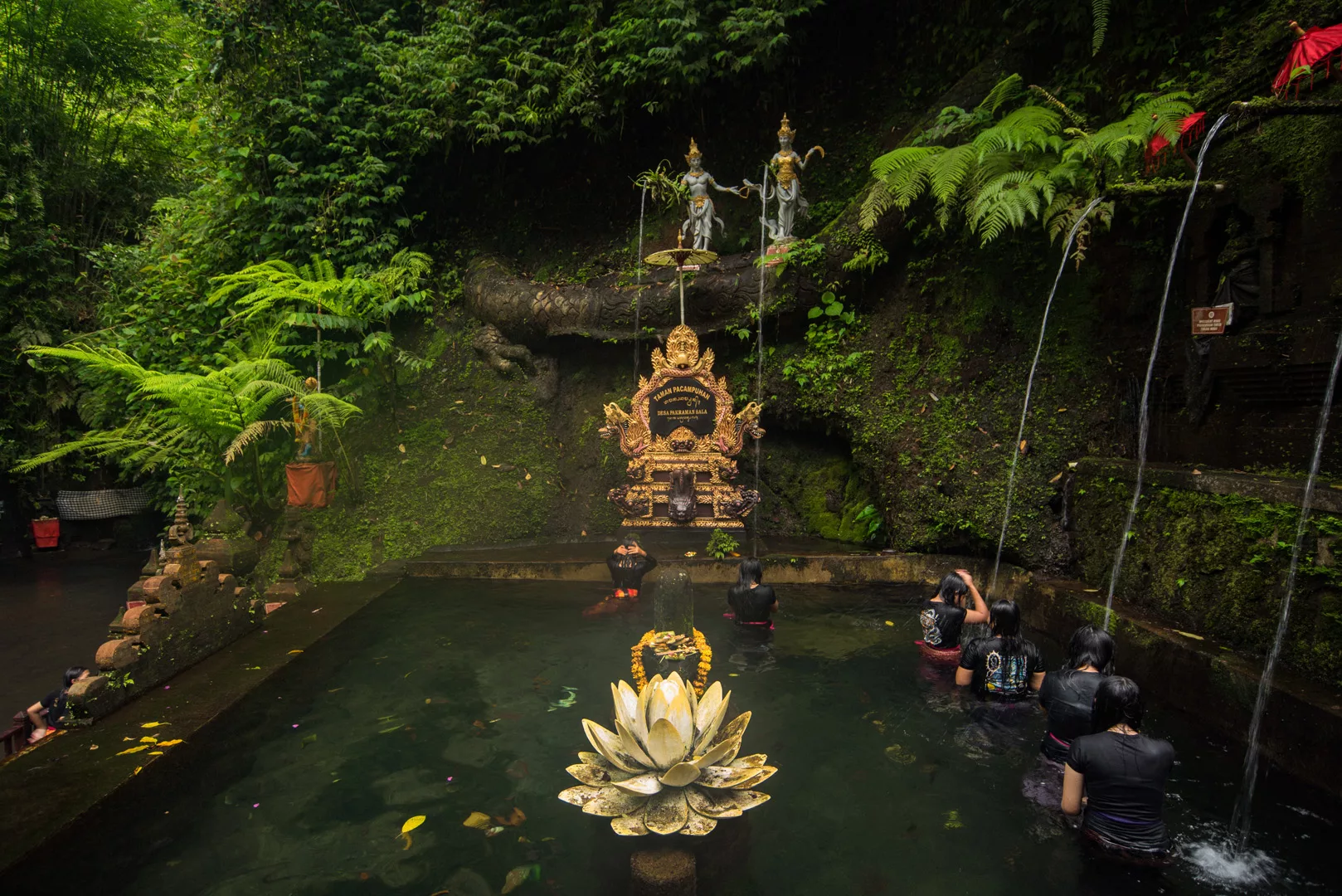
Taman Pecampuhan Sala Temple (8°27’05″ S 115°19’37″ E)
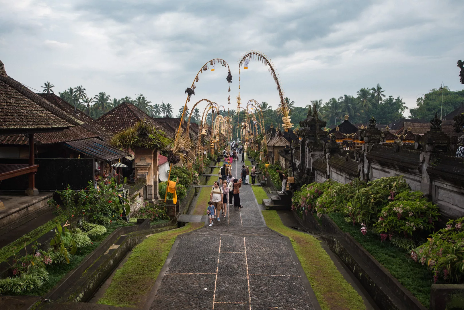
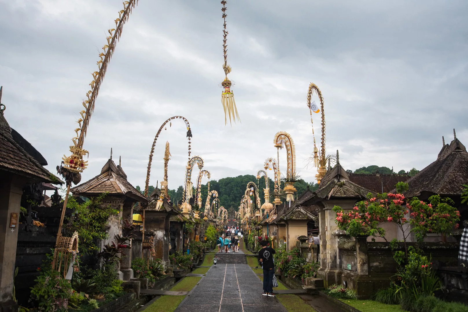
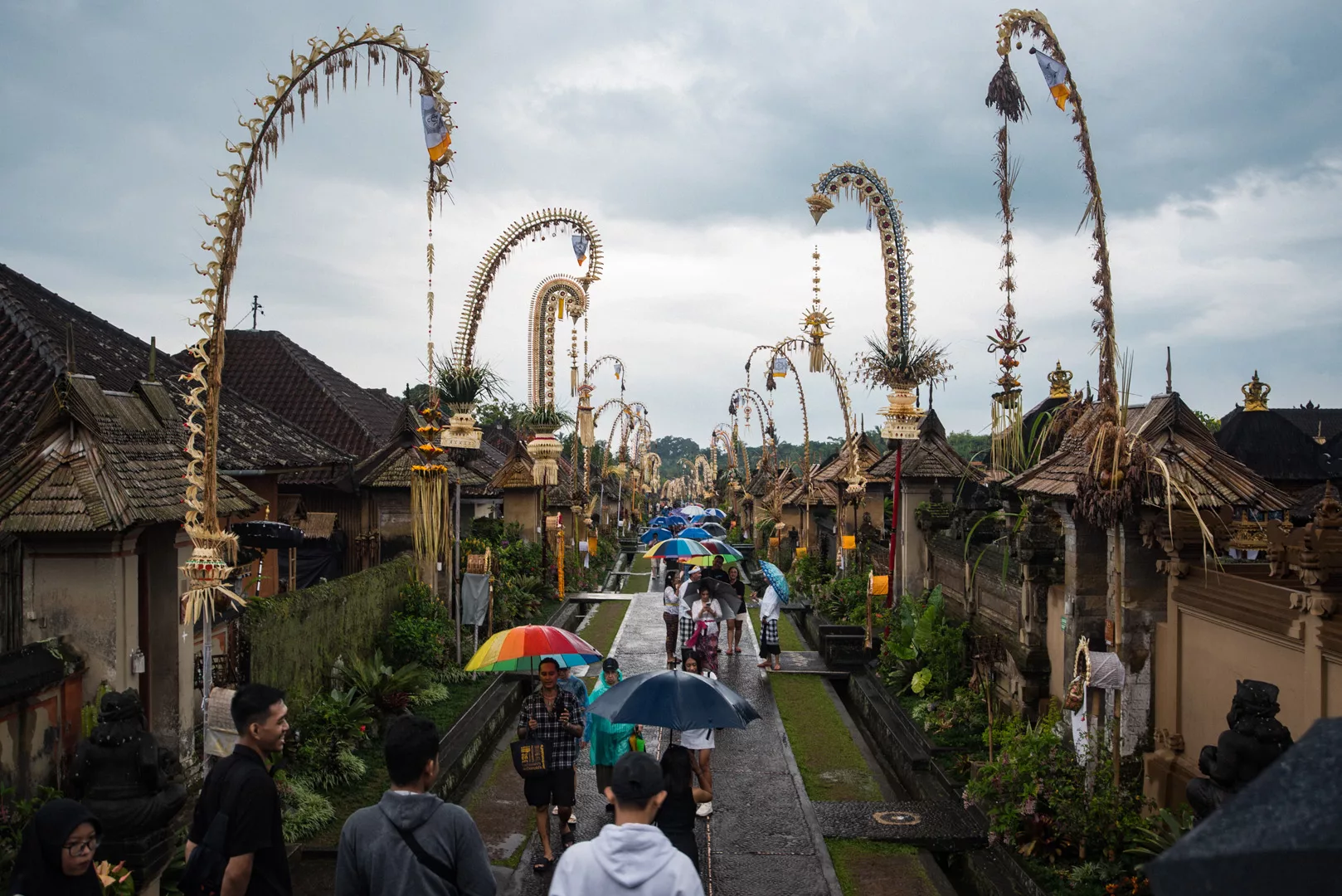
Penglipuran traditional village (8°25’18″ S 115°21’34″ E)
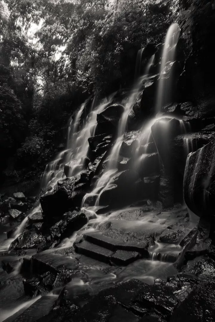
Kanto Lampo waterfall (8°31′55″S 115°19′58″E)
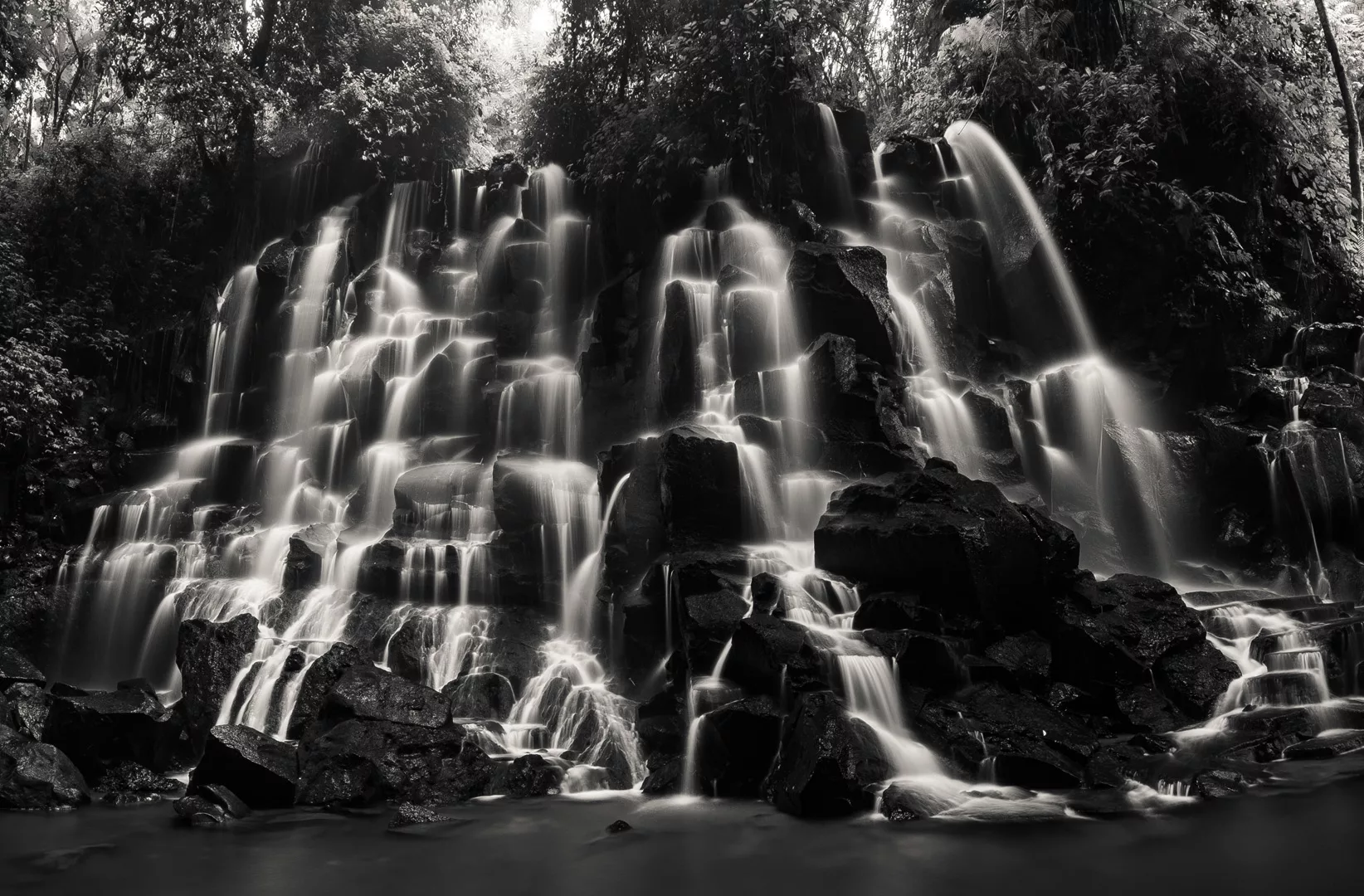
Krisik waterfall (8°27′27″S 115°23′16″E)
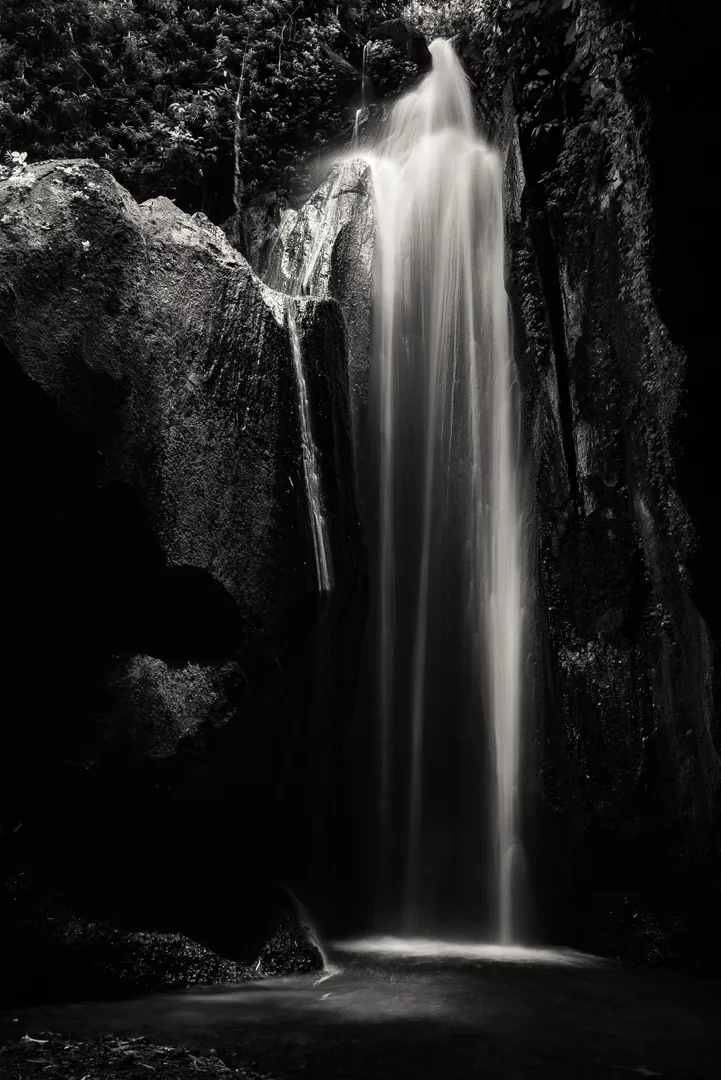
Goa Giri Campuhan waterfall (8°27′50″S 115°23′19″E)
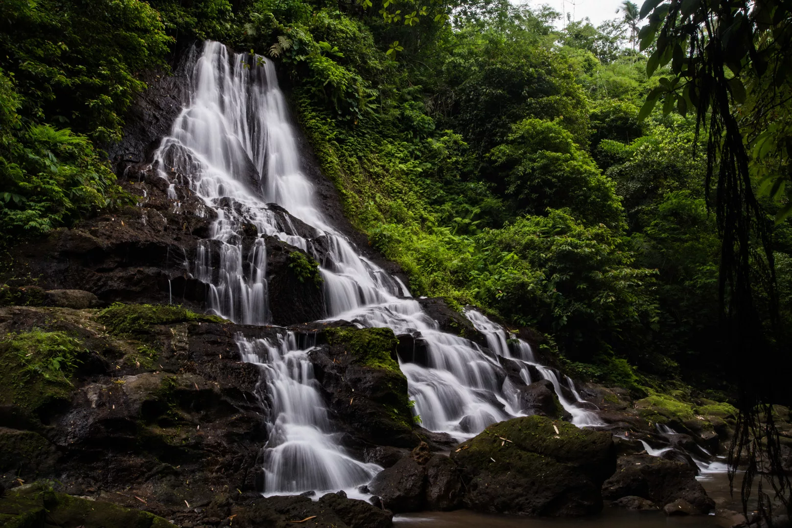
Klungkung Palace (8°32′08″S 115°24′12″E)
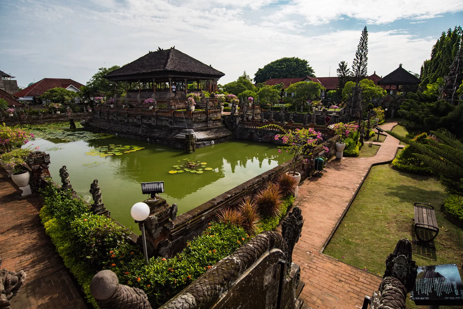
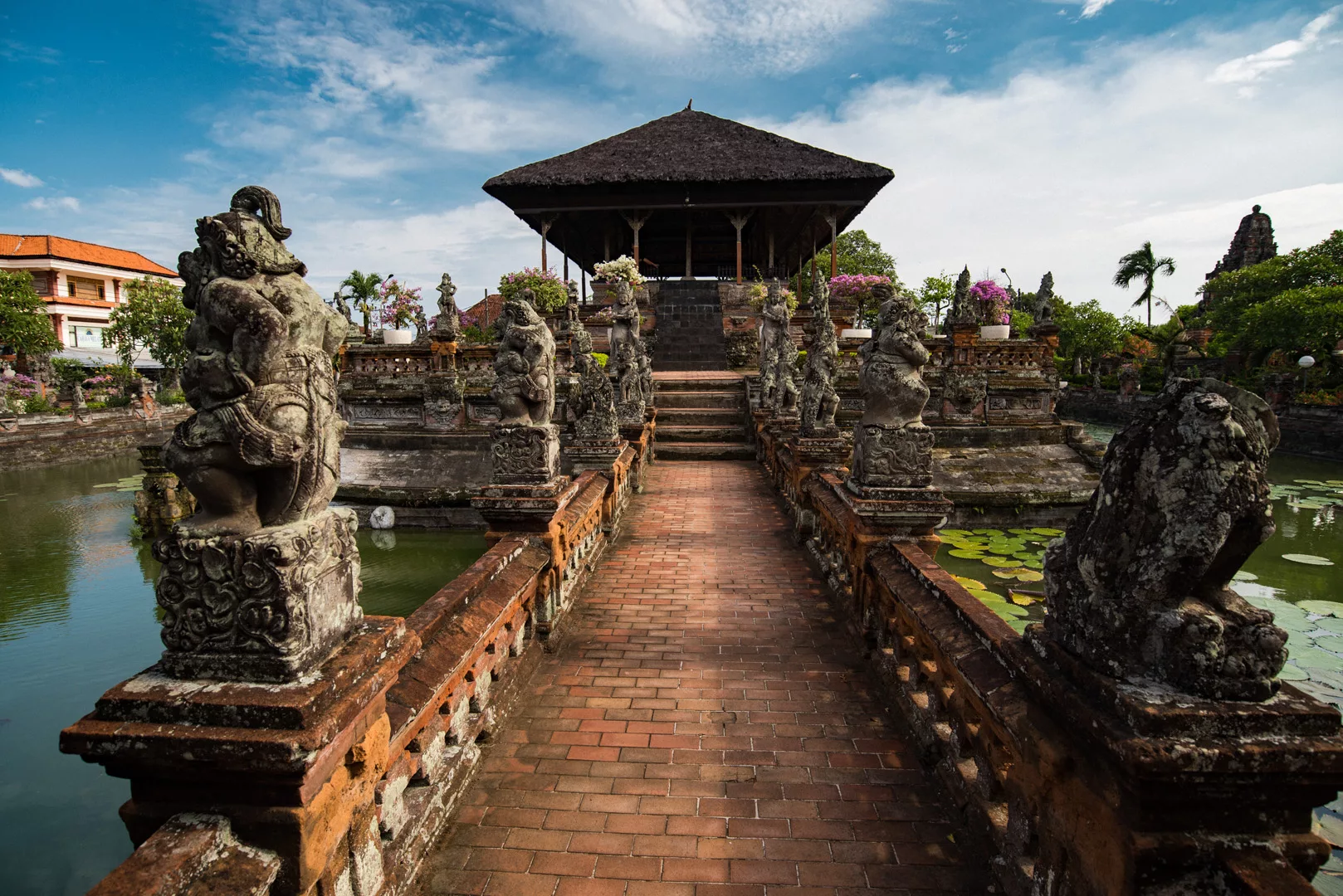
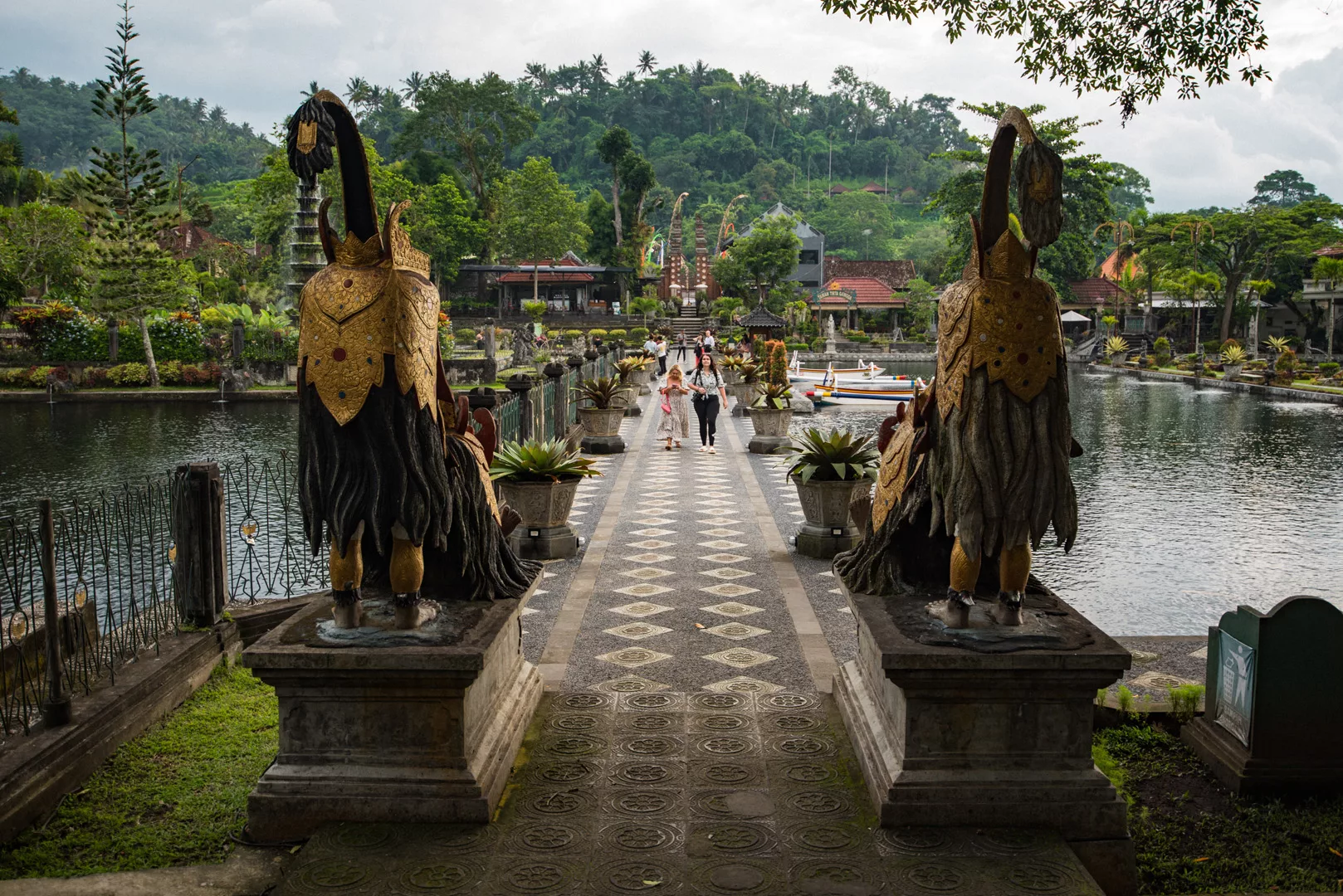
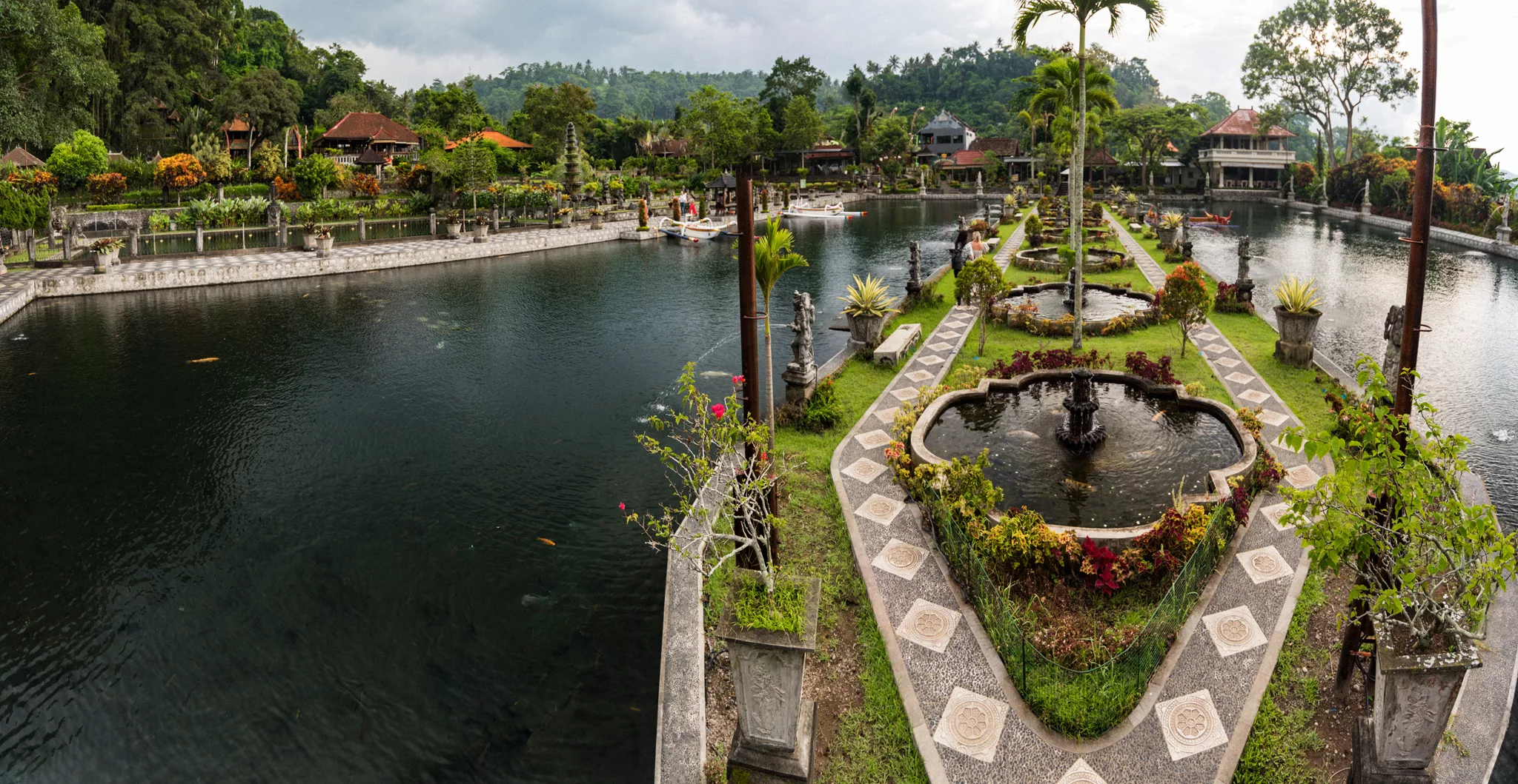
Tirta Gangga (8°24′45″S 115°35′14″E)
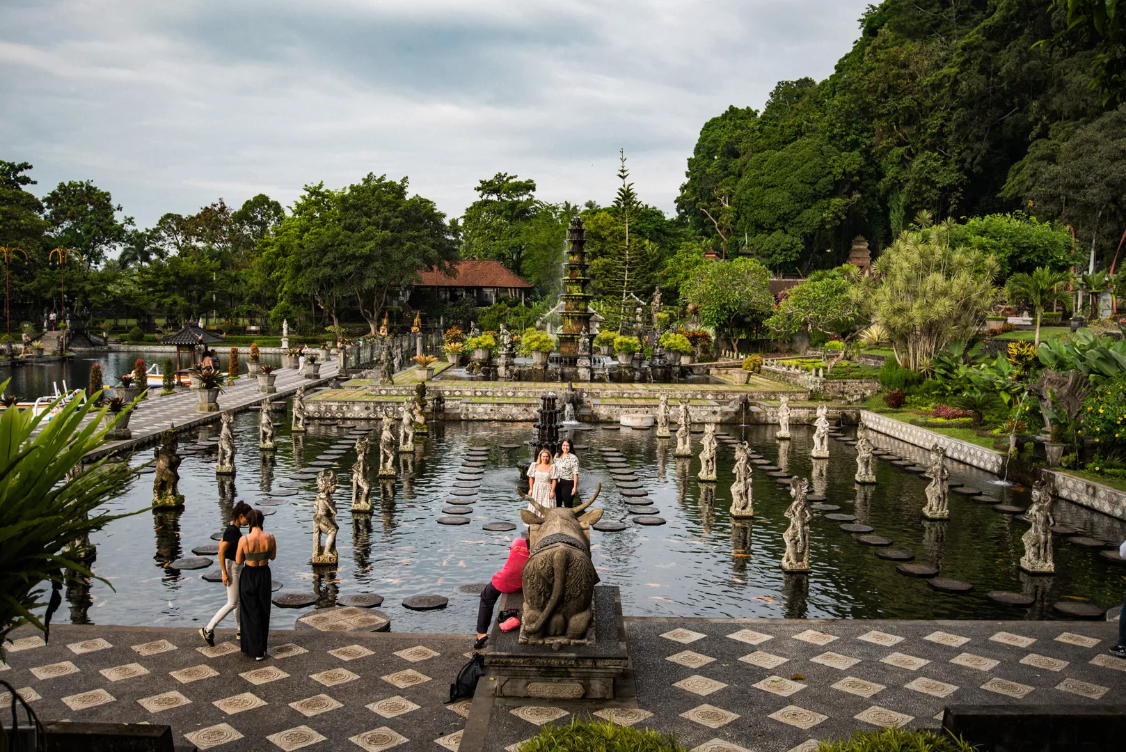
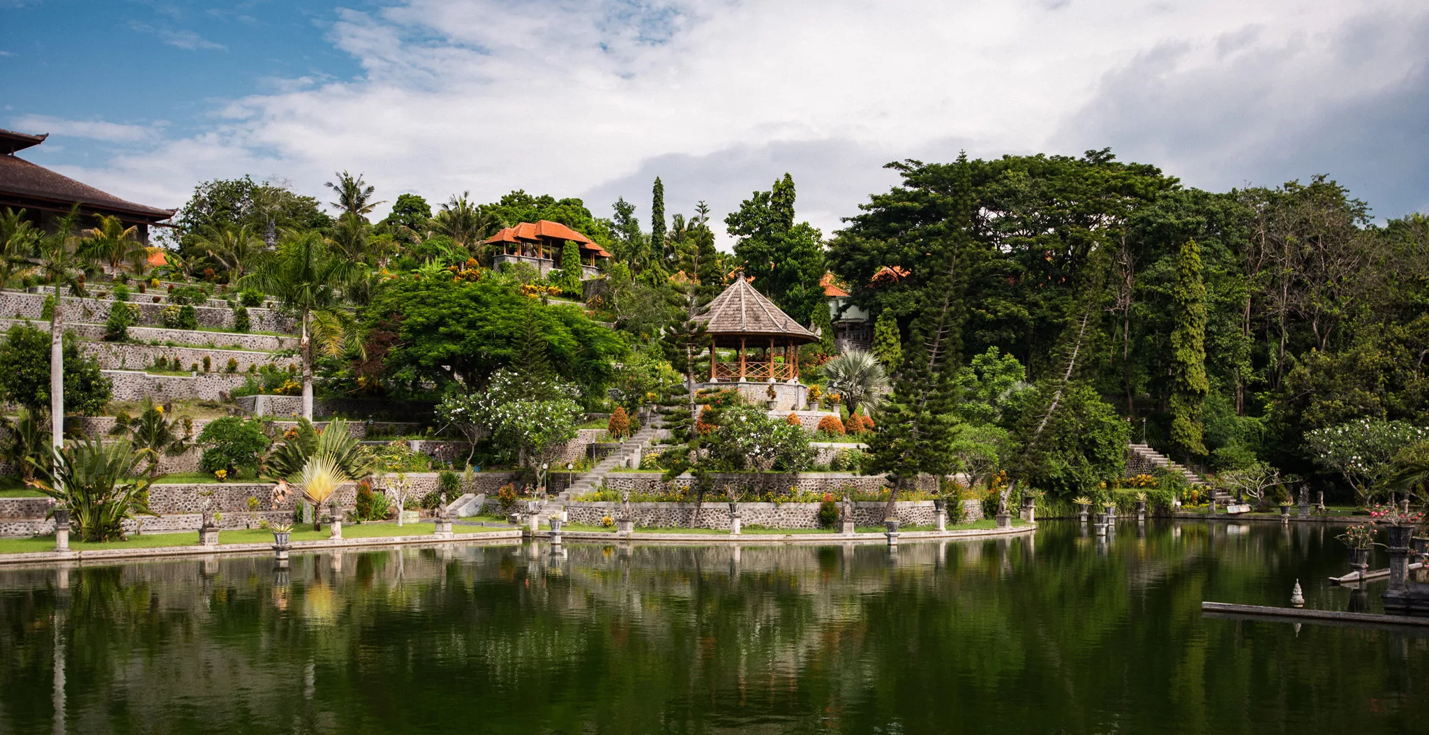
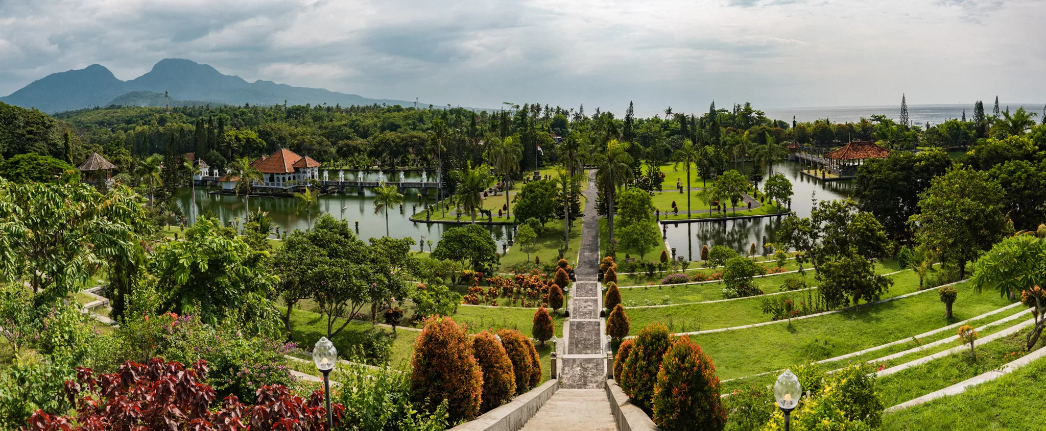
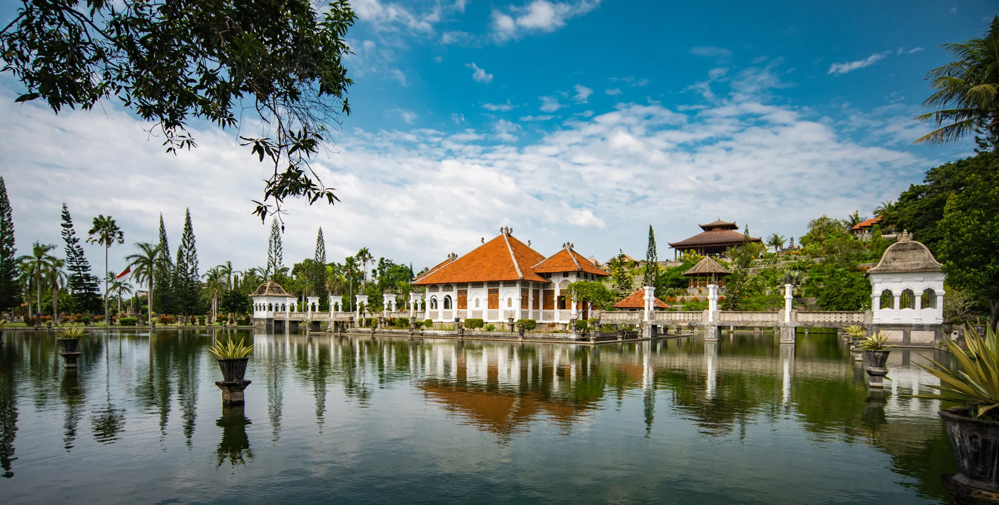
Taman Ujung (8°27′52″S 115°37′51″E)
Goa Rang Reng waterfall (8°30′56″S 115°19′53″E)
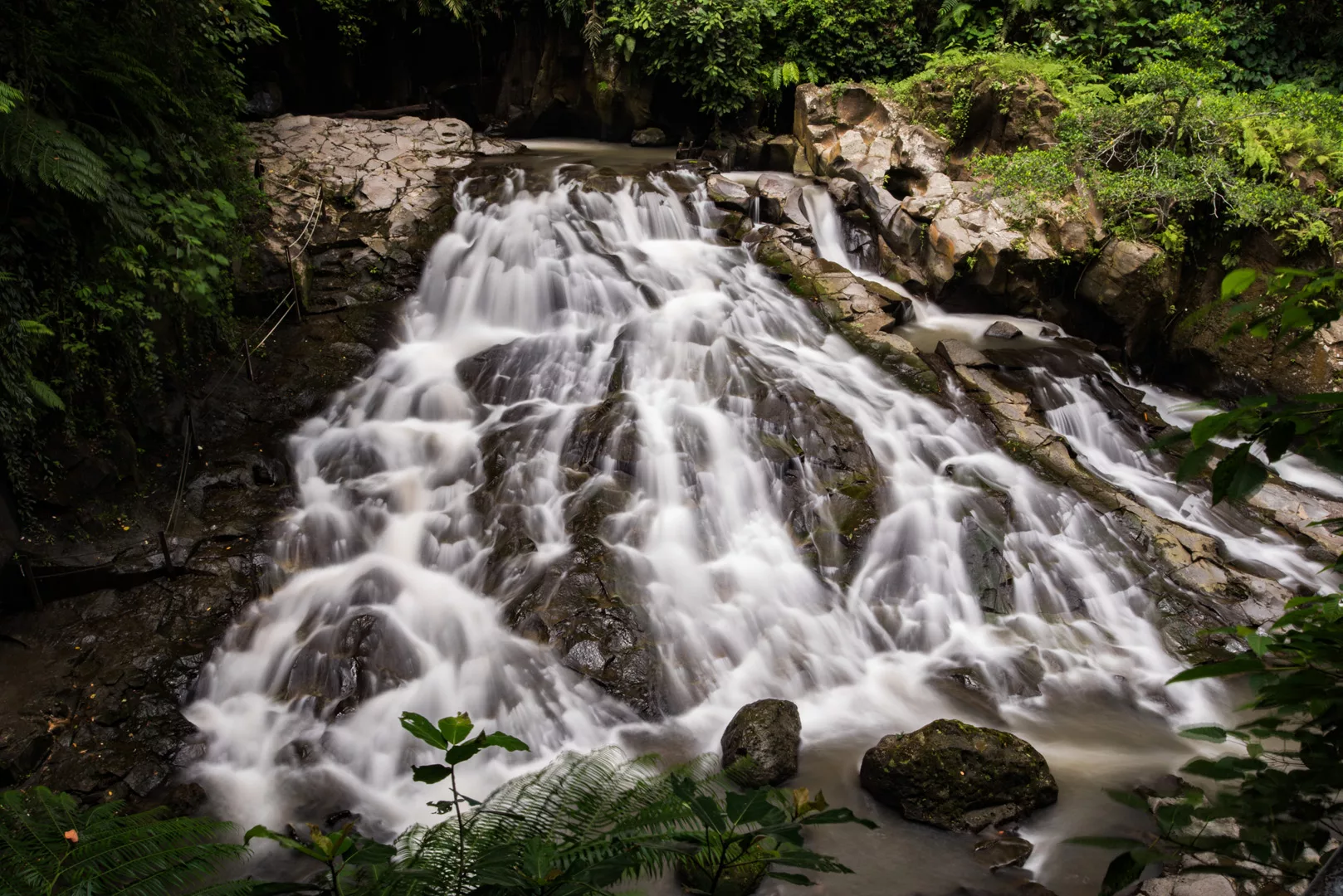
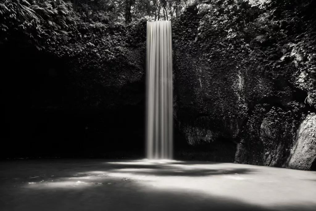
Tibumana waterfall (8°30′25″S 115°19′59″E)
Landscape

Southern Bali

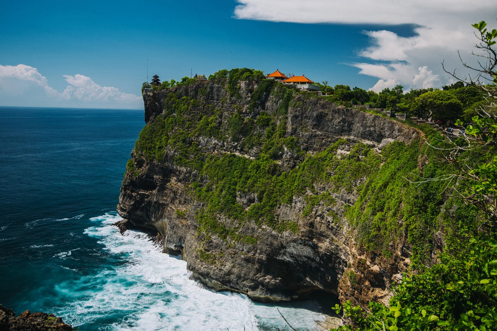
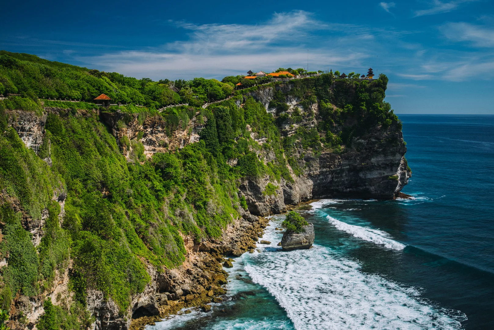
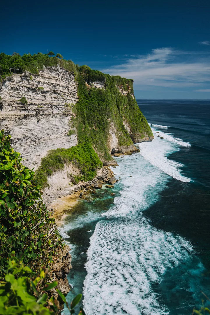
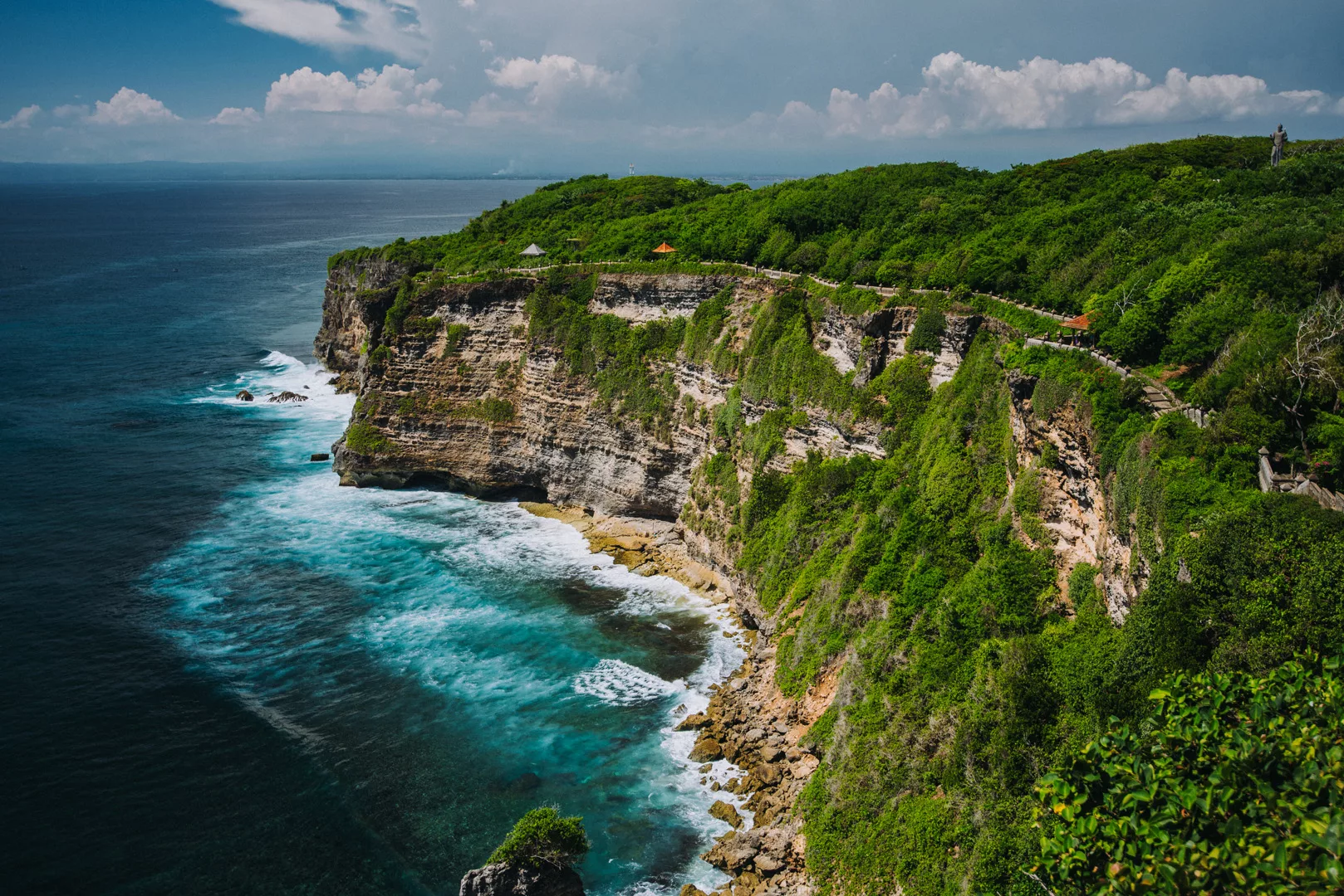
Uluwatu temple (8°49’44″ S 115°05’04″ E) is one of the Balinese temples, it’s situated on a high cliff.

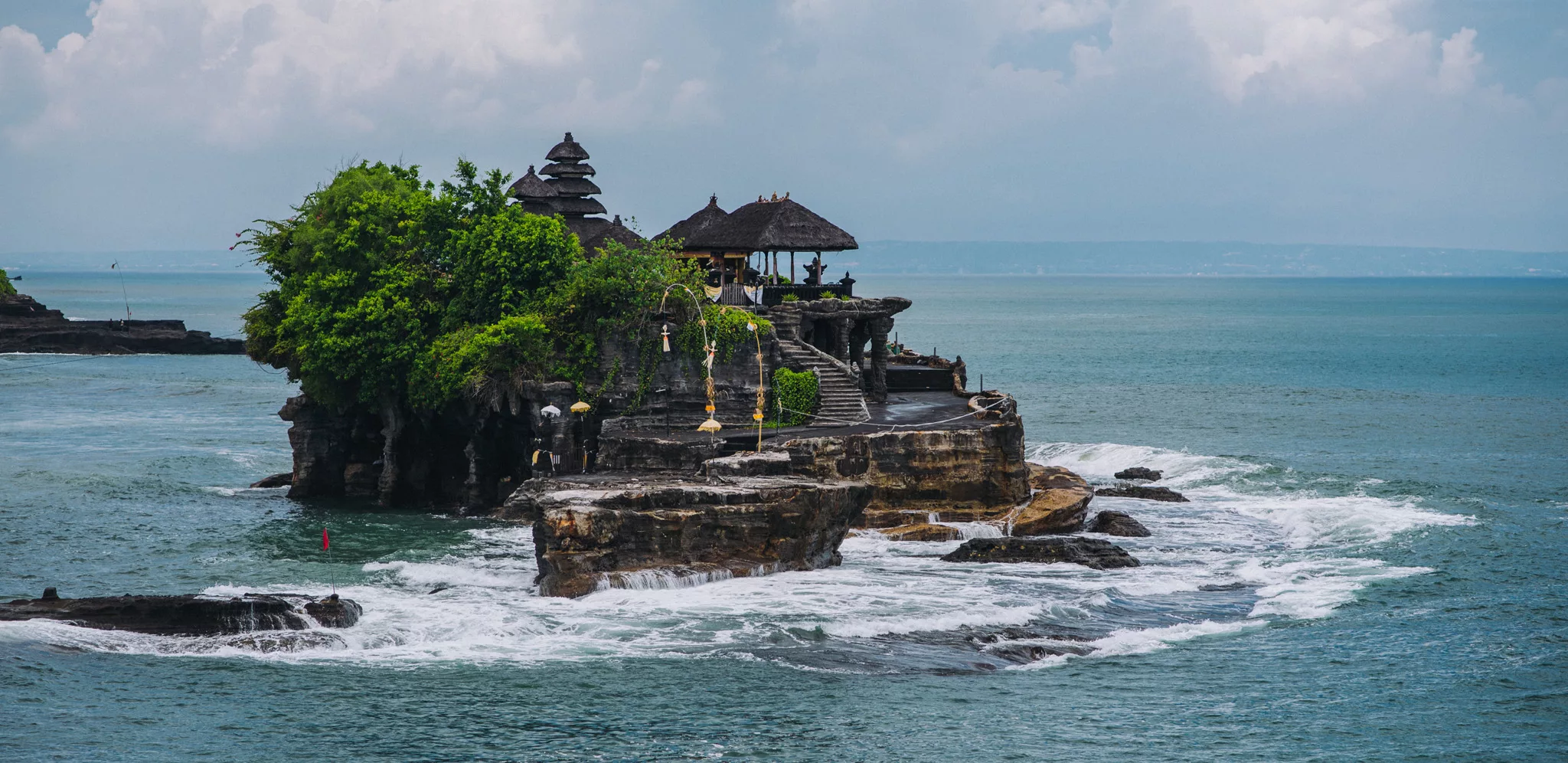
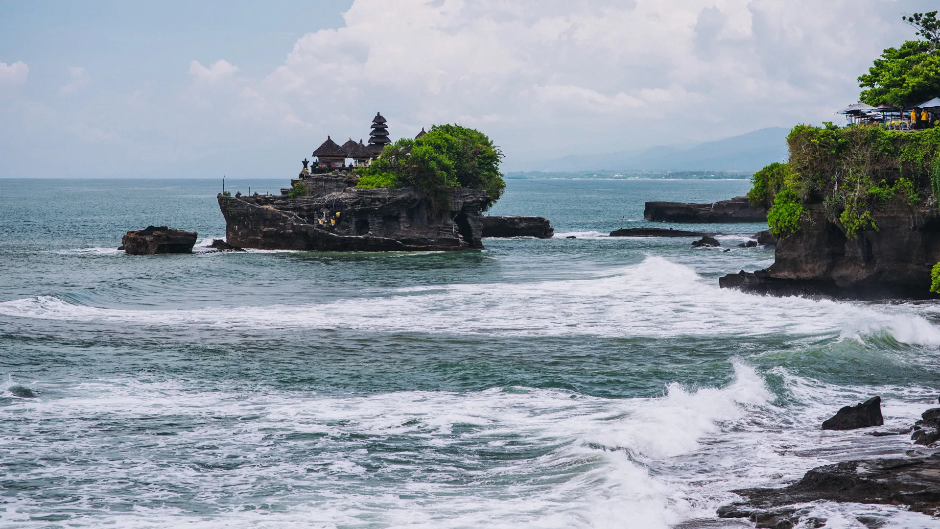
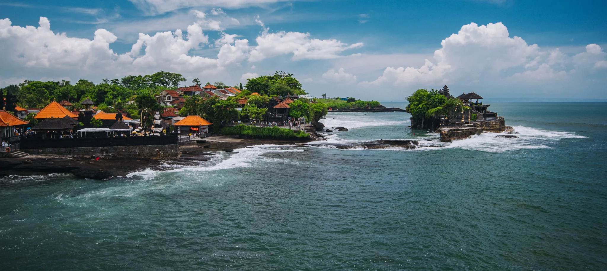
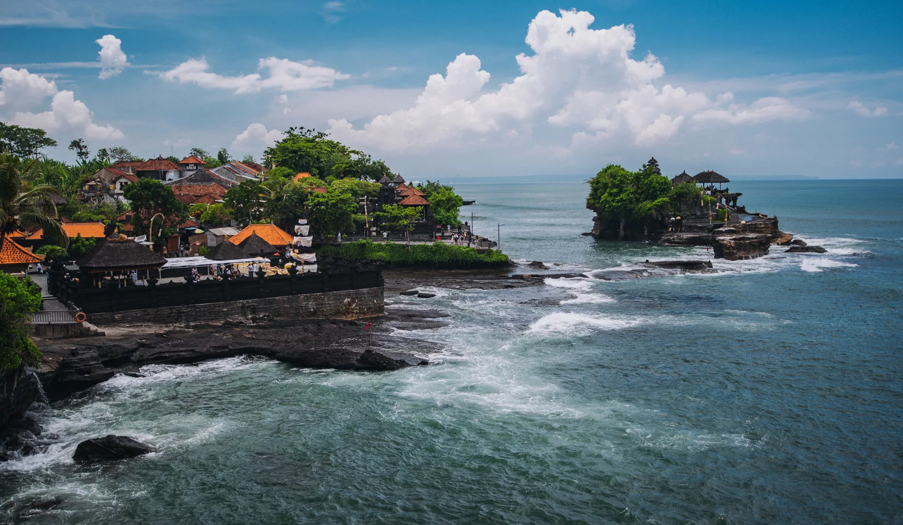
Tanah Lot Temple (8°37’16″ S 115°05’13″ E)

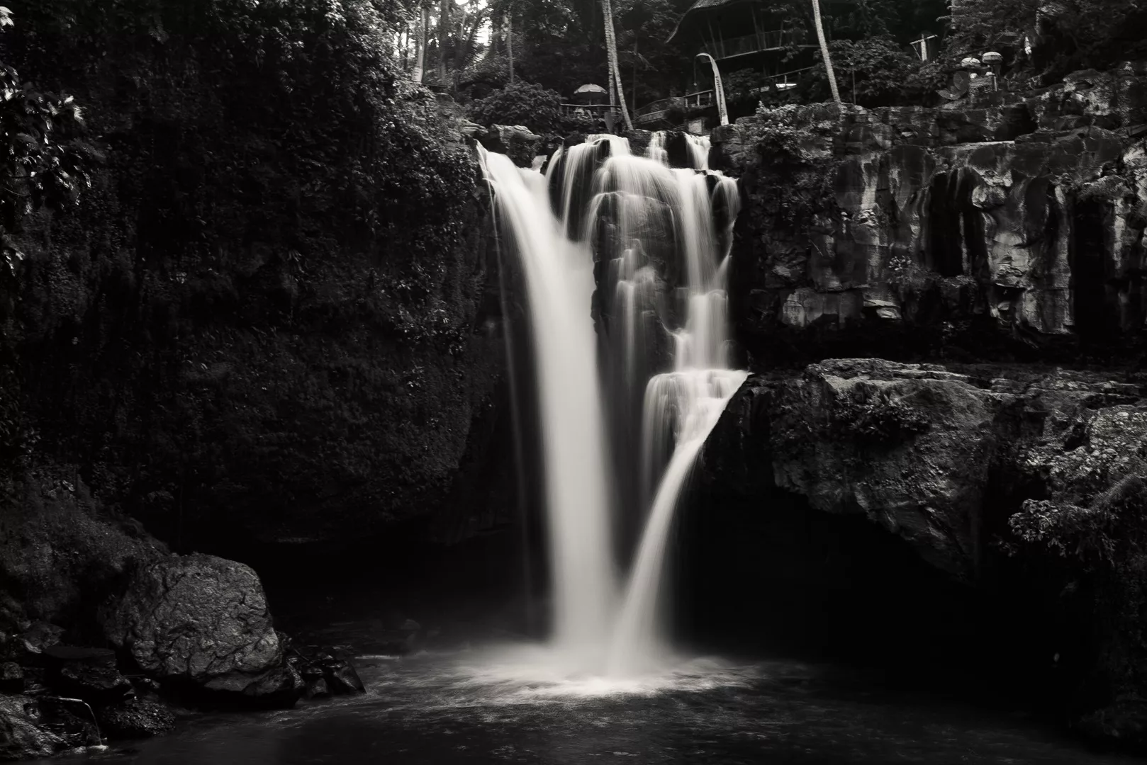
Tegenungan waterfall (8°34′30″S 115°17′26″E)
Travels

Cádiz

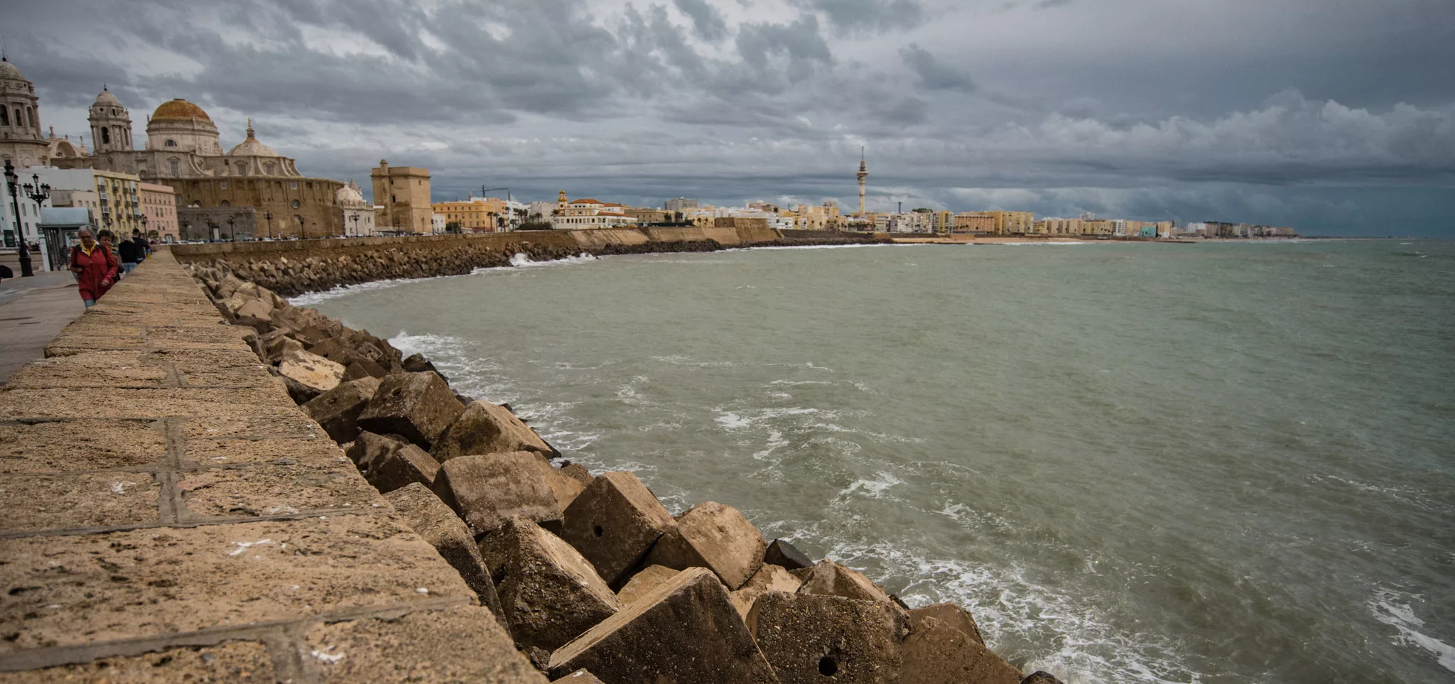
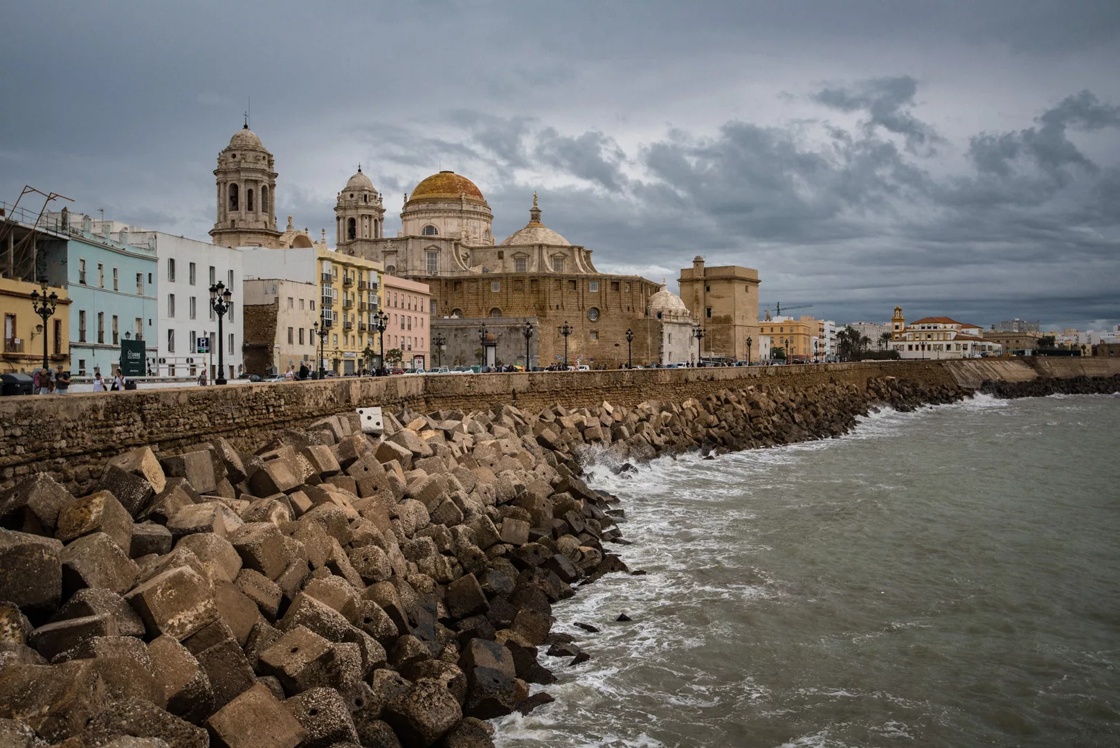
Cádiz (36°32’ N 6°18’ W) is a city in Andalucia which throughout history was a very important harbor hence it was a rich city, has a lot of fortifications and impressive buildings.

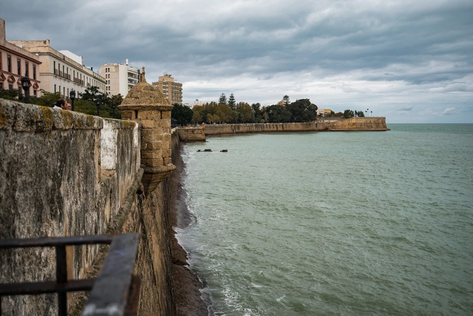
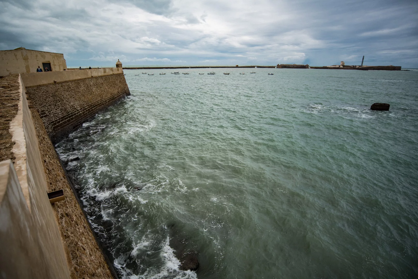
North-west side of fortification walls.

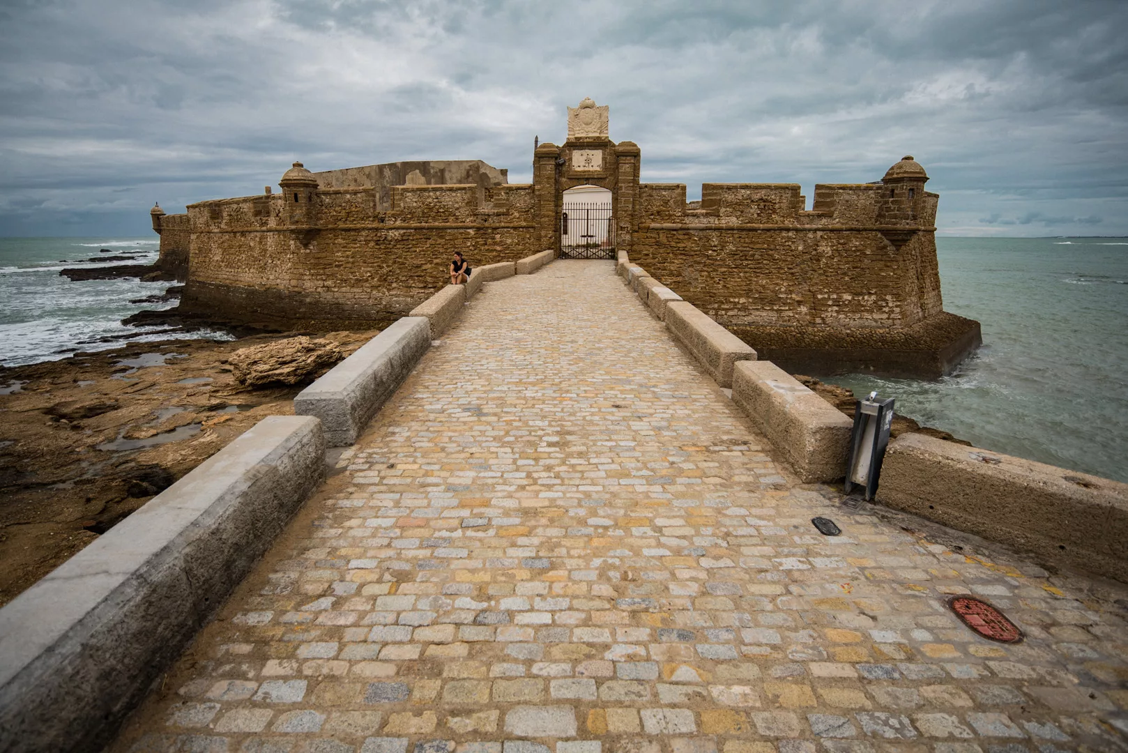
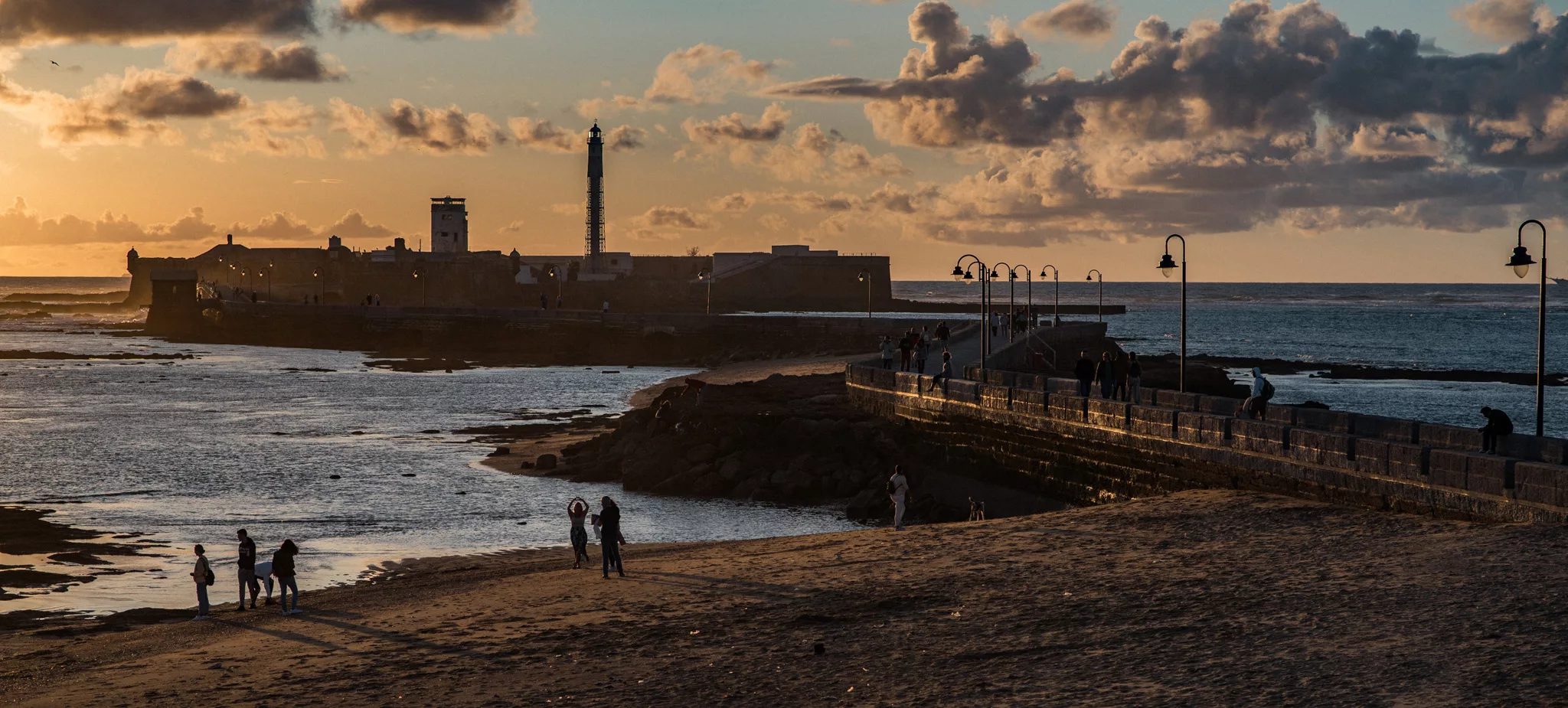
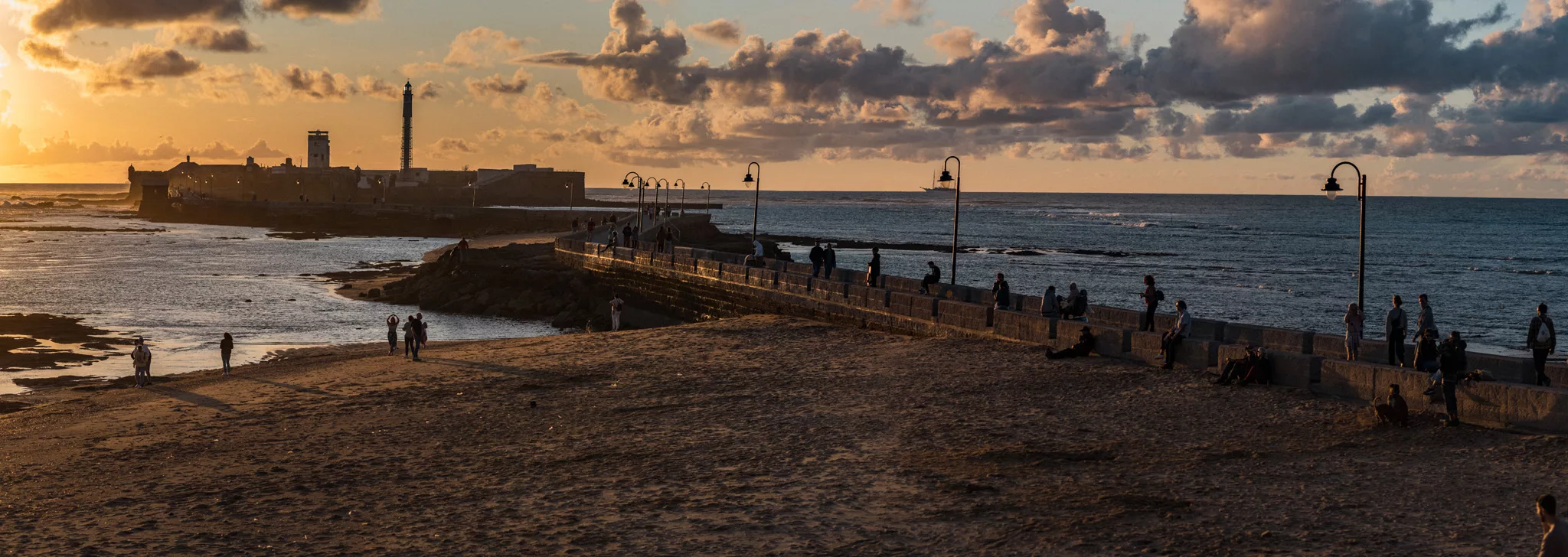
Castillo de San Sebastian (36°31’40″ N 6°18’49″ W, on the right side of the picture) seen from Castillo de Santa Catalina (36°31’58″ N 6°18’28″ W).

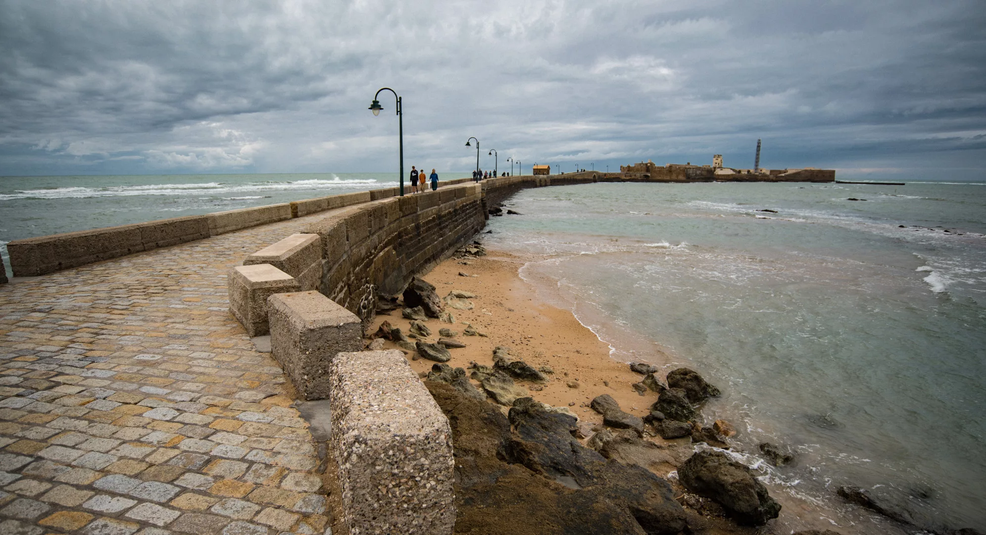
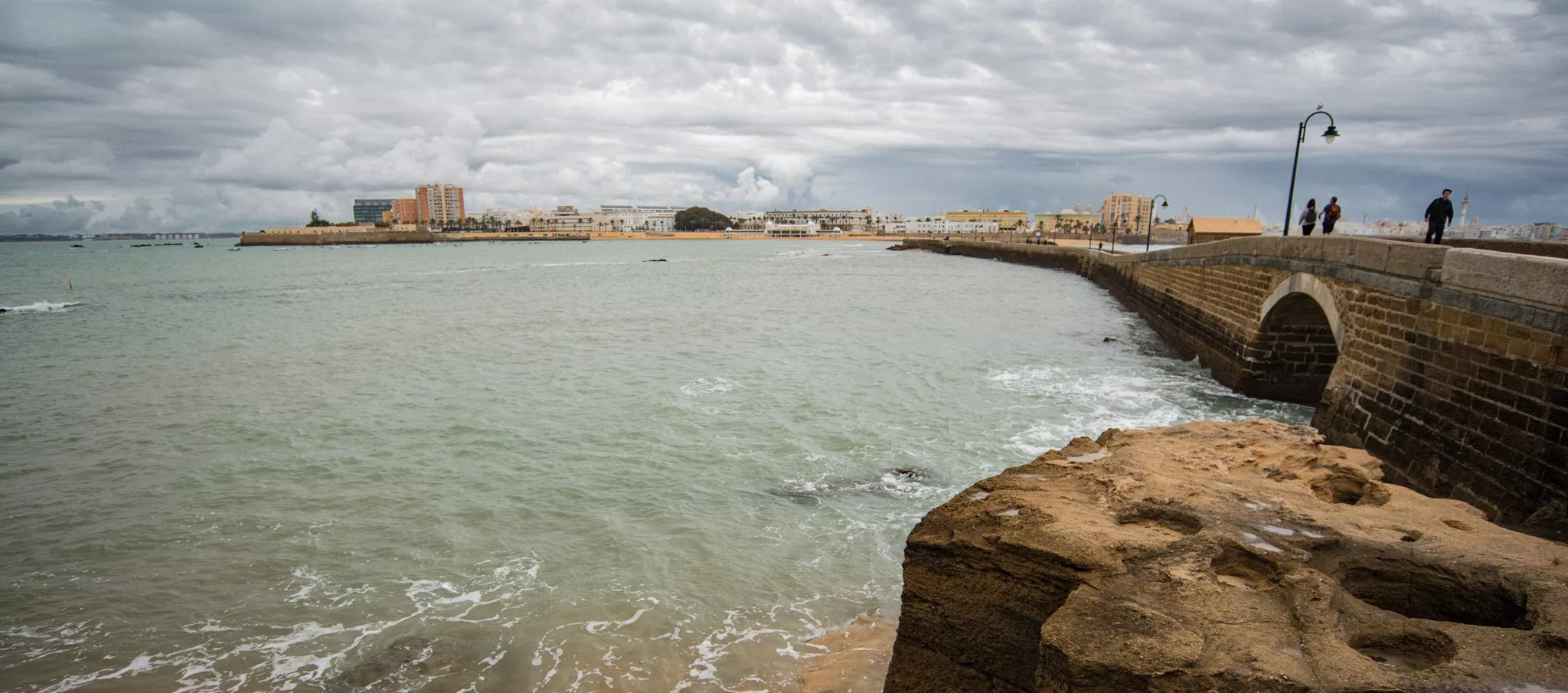
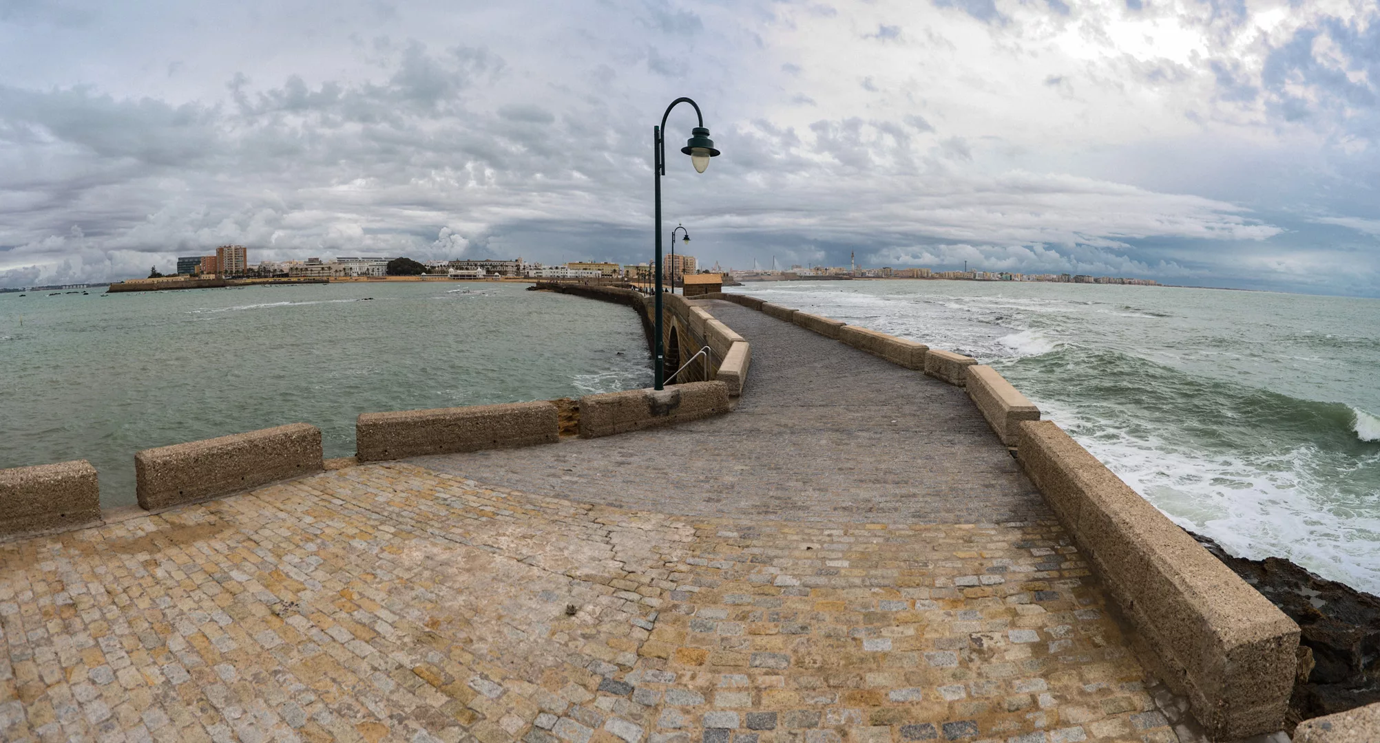
Castillo de San Sebastian seen from the middle of the road connecting this castle to the mainland (36°31’43″ N 6°18’33″ W).

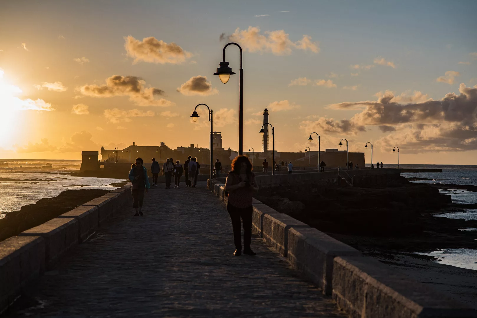
West side of Cádiz with Castillo de Santa Catalina seen on the left side of the picture.

South side of Cádiz seen from near Escuela Infantil Virgen de la Palma (36°31’40″ N 6°18’08″ W).

South side of Cádiz seen from Mirador El Vendaval (36°31’44″ N 6°17’52″ W, view to the east).

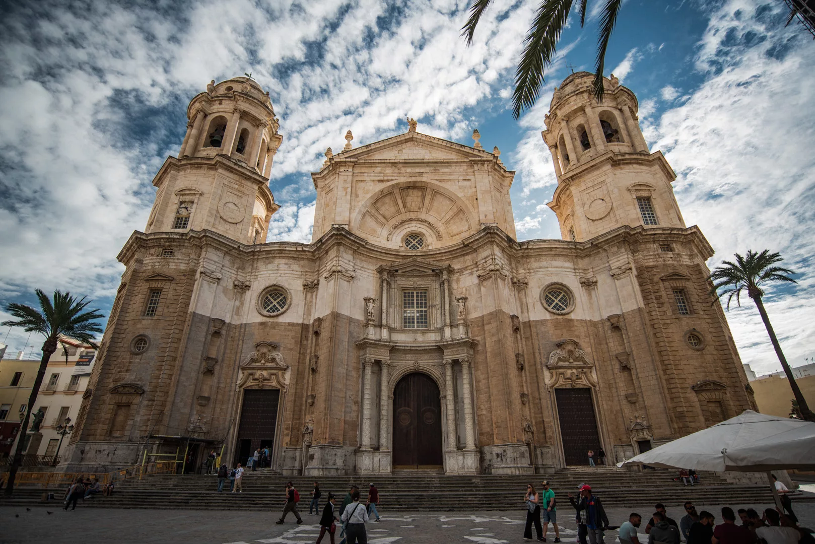
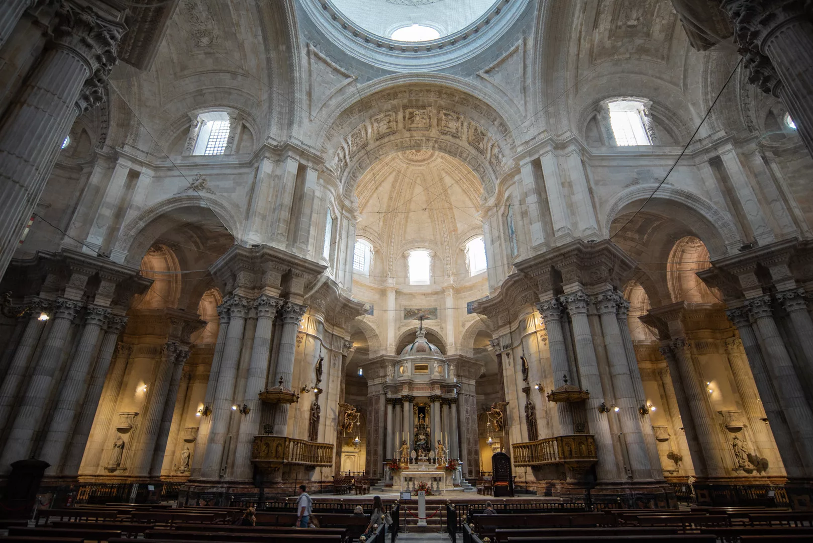
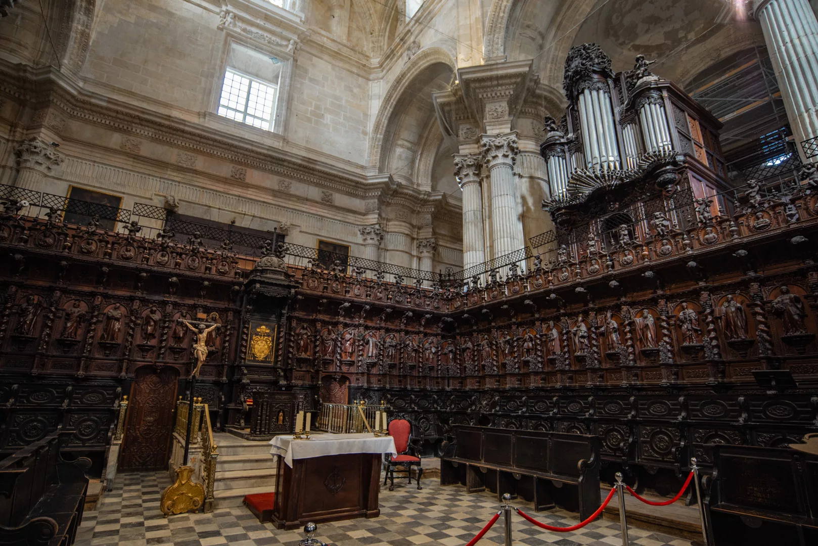
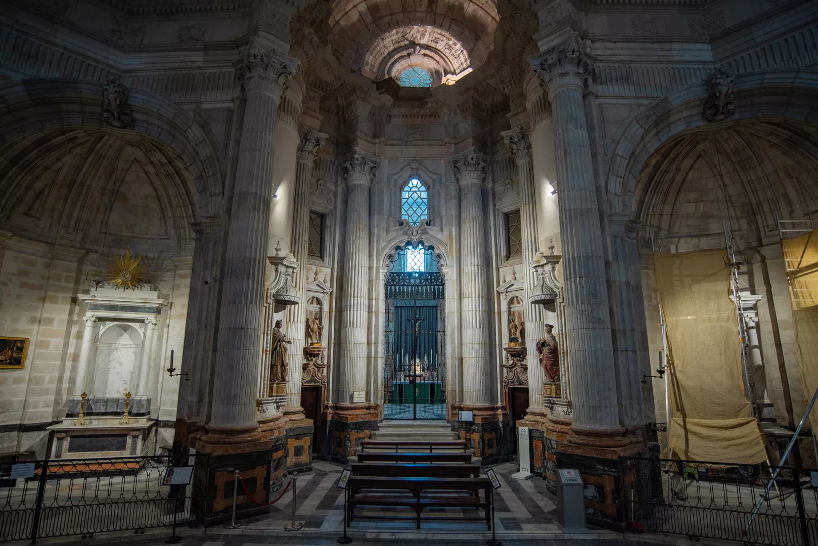
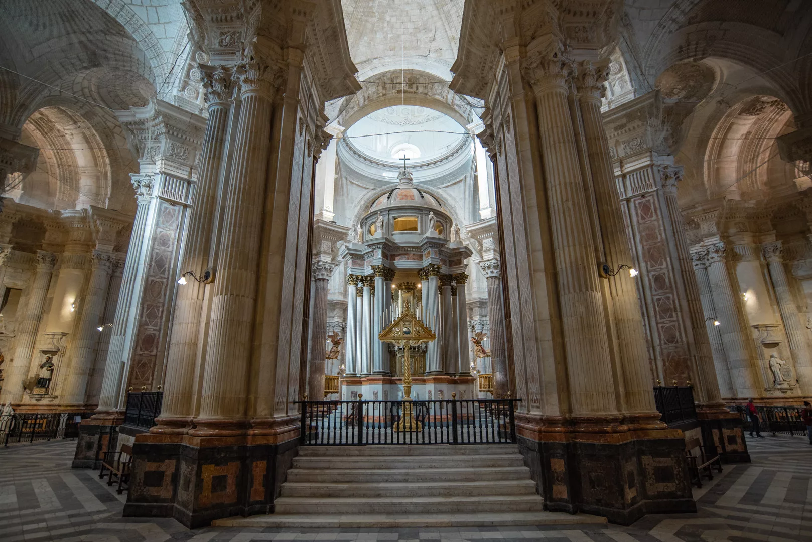
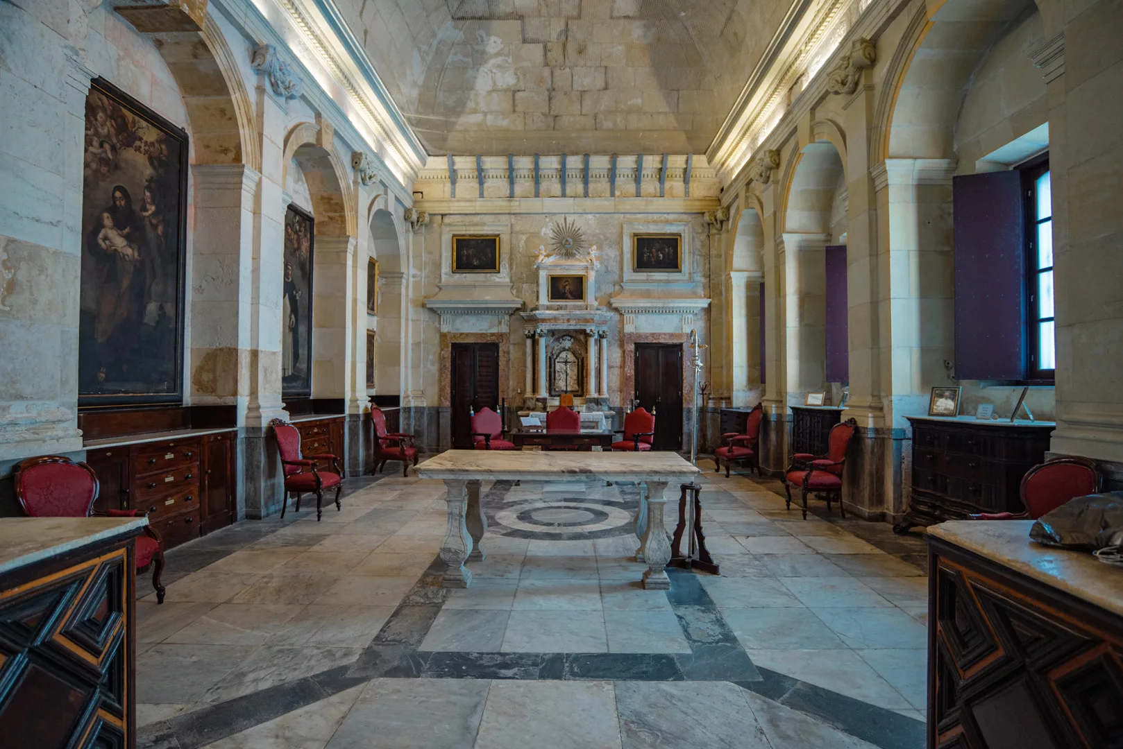
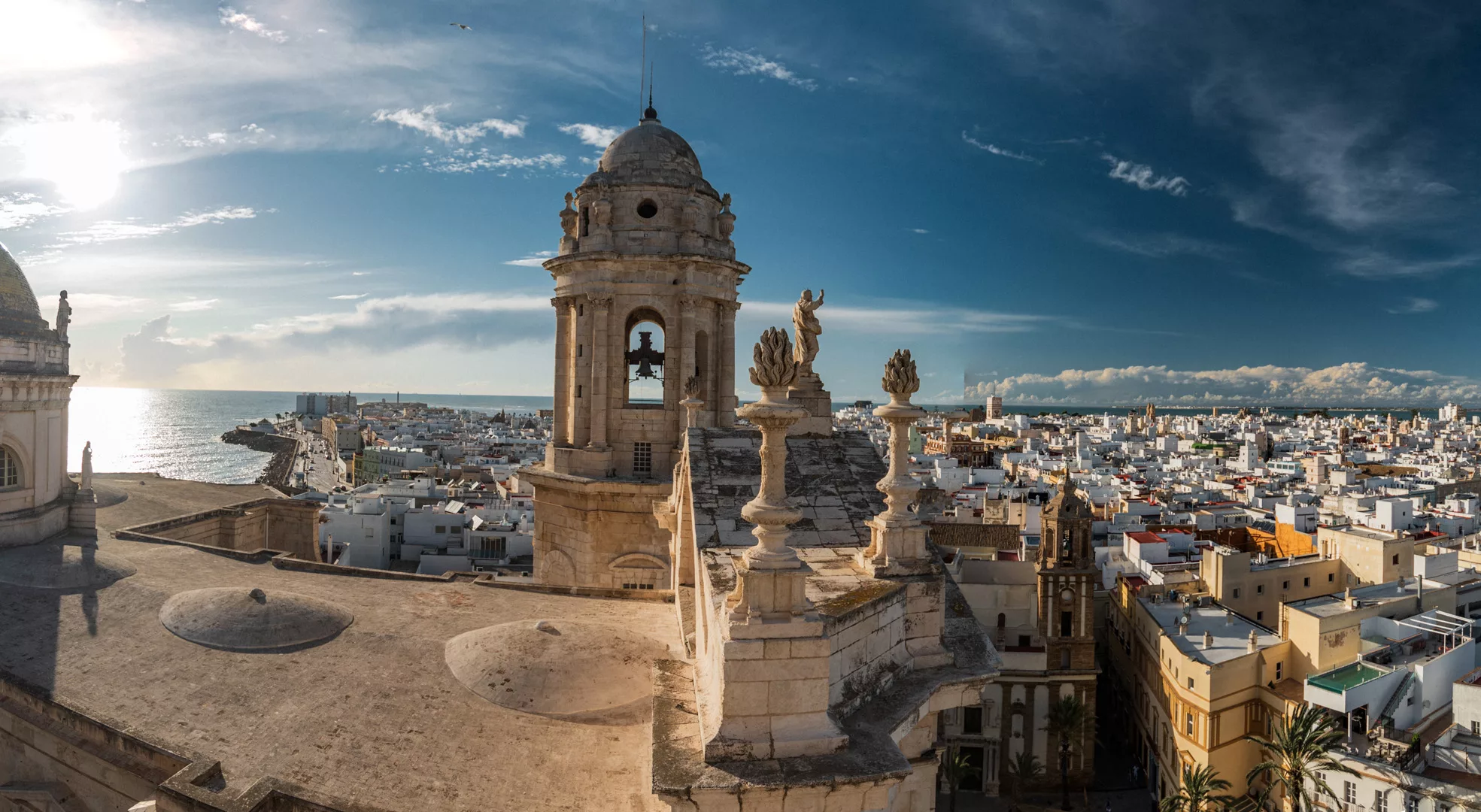
Catedral de Cádiz (36°31’45″ N 6°17’43″ W).

View from Catedral de Cádiz towards west side of Cádiz.

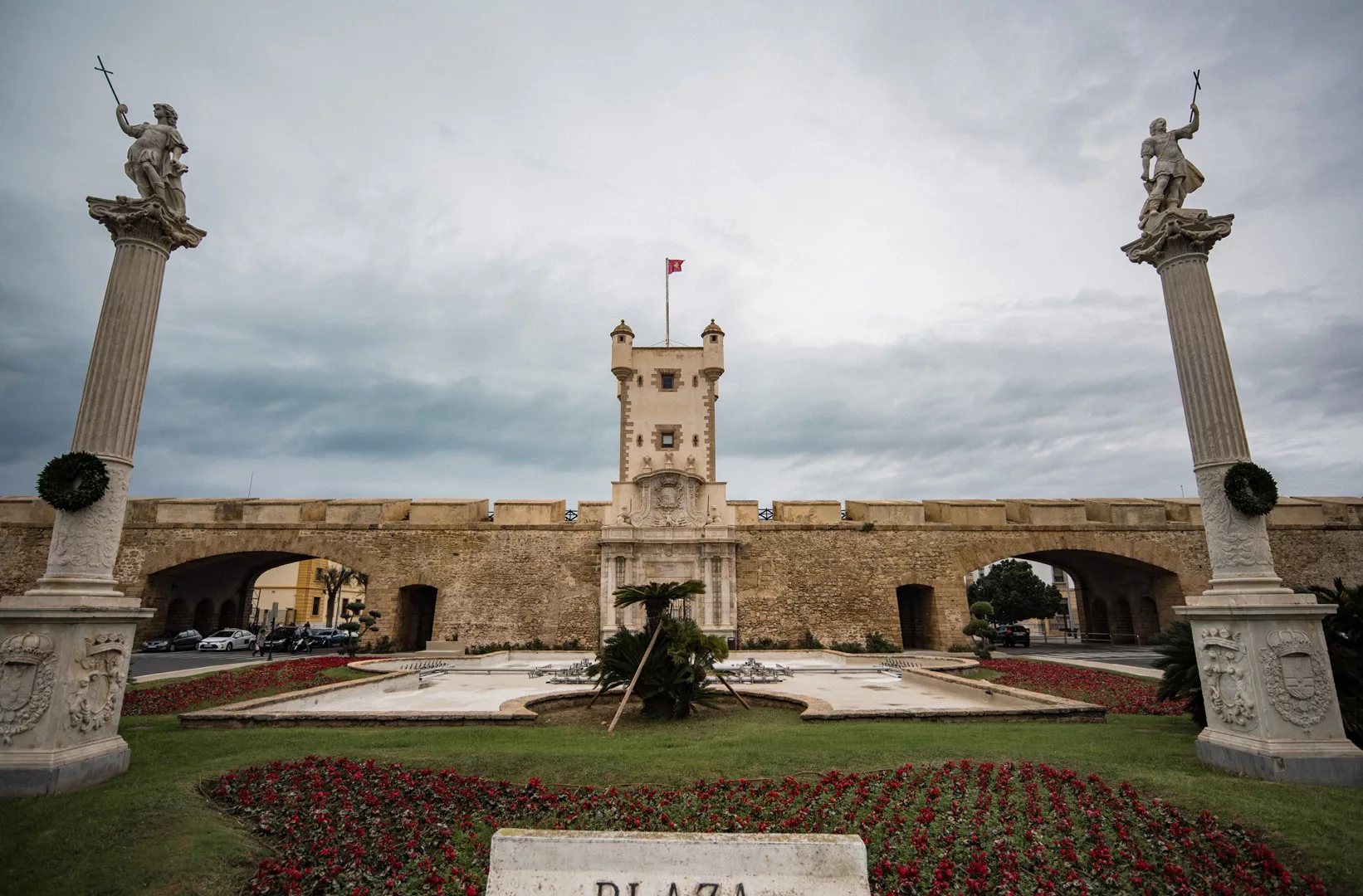
Puerta de Tierra (36°31’34″ N 6°17’19″ W).

Landscape

Ronda

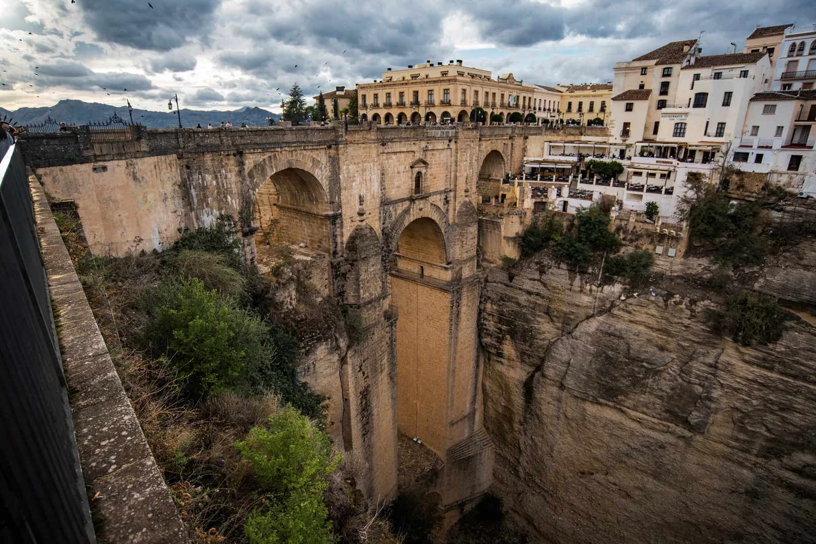
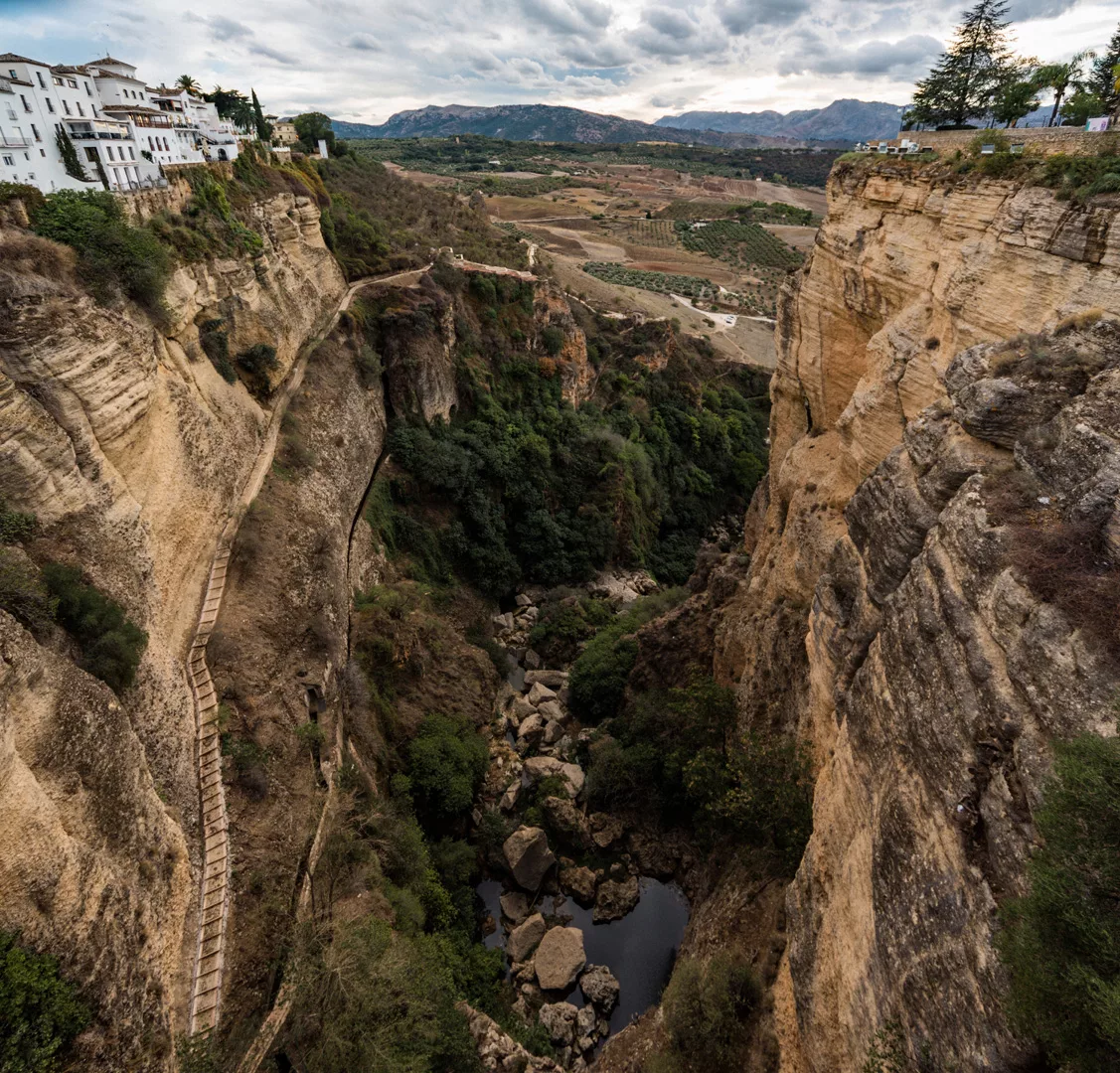
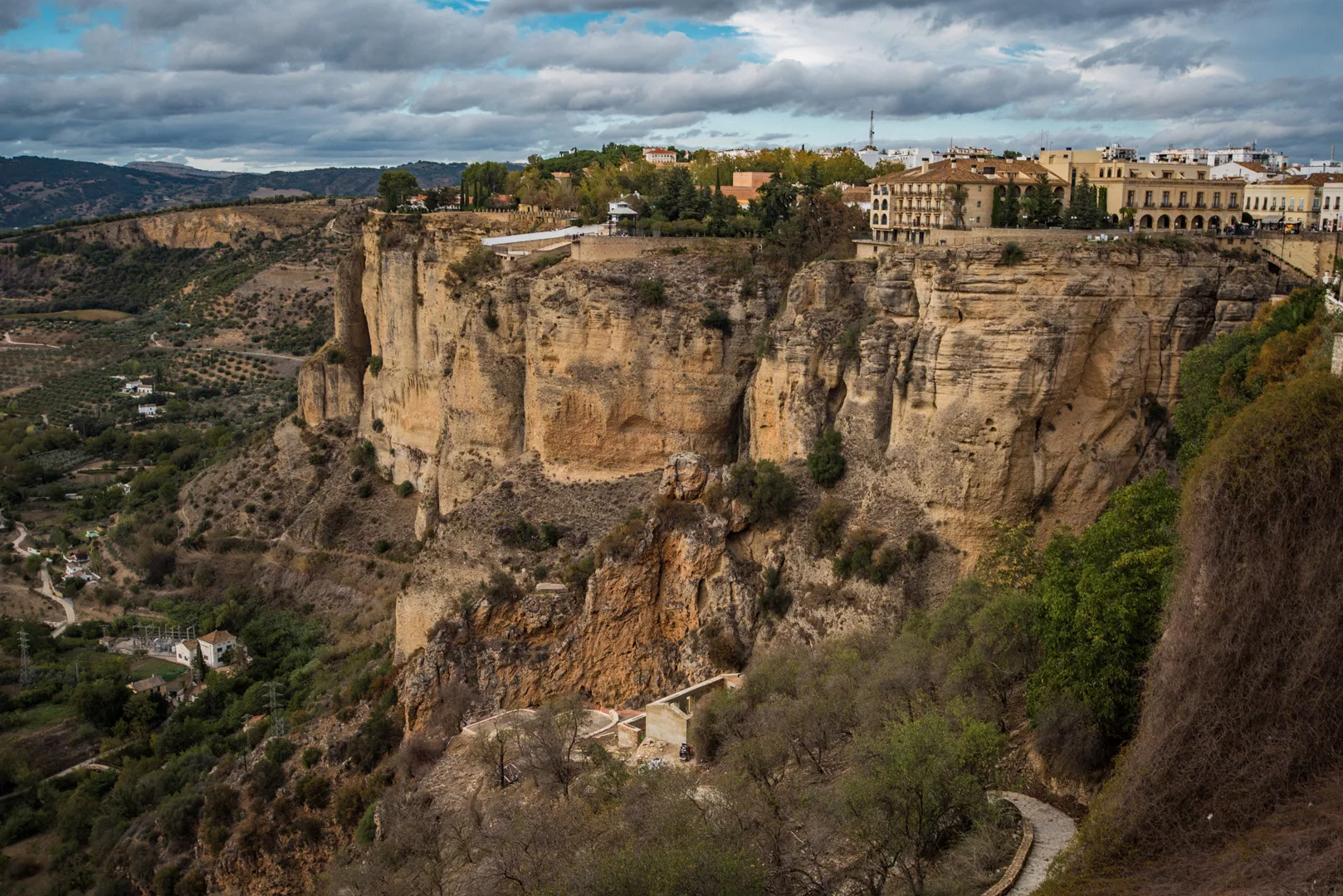
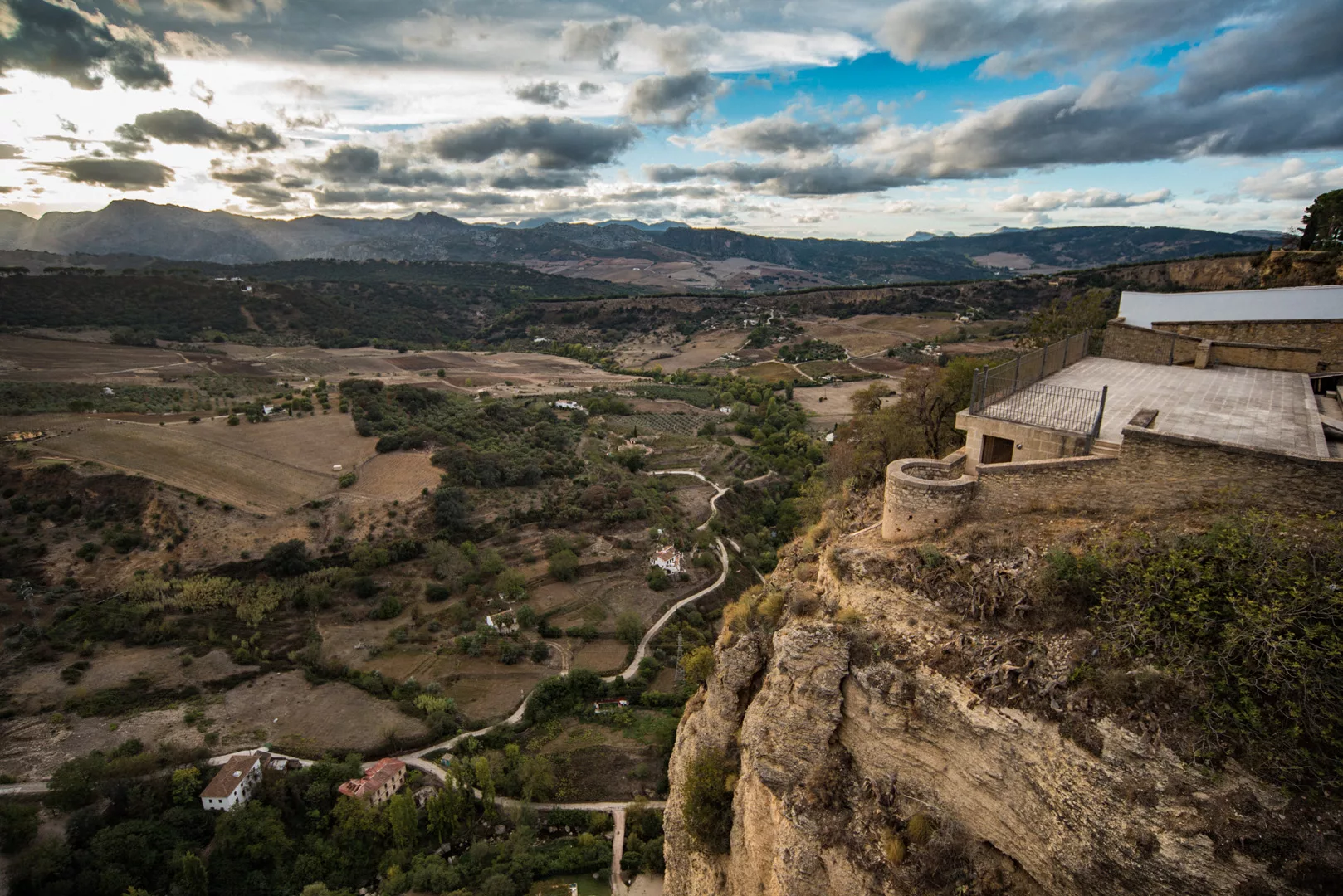
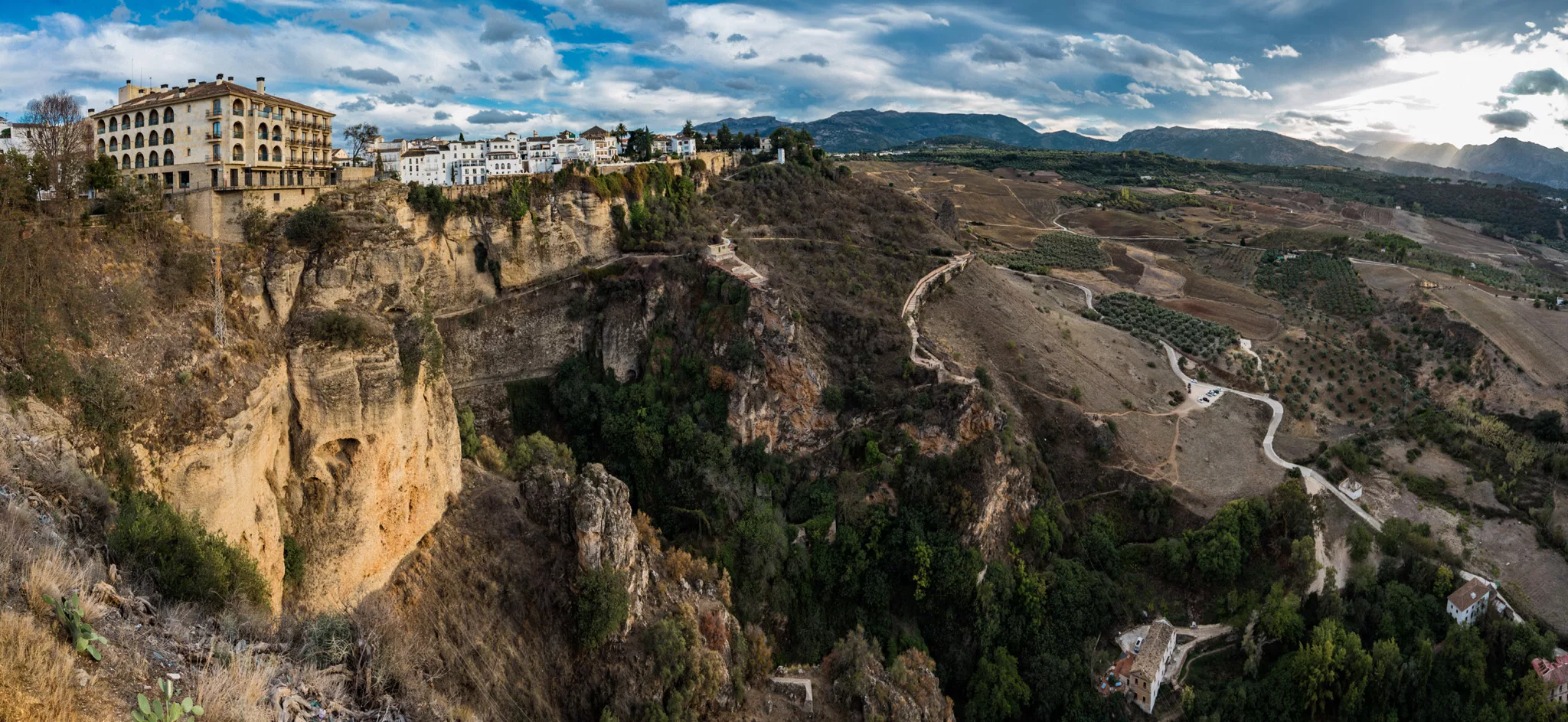
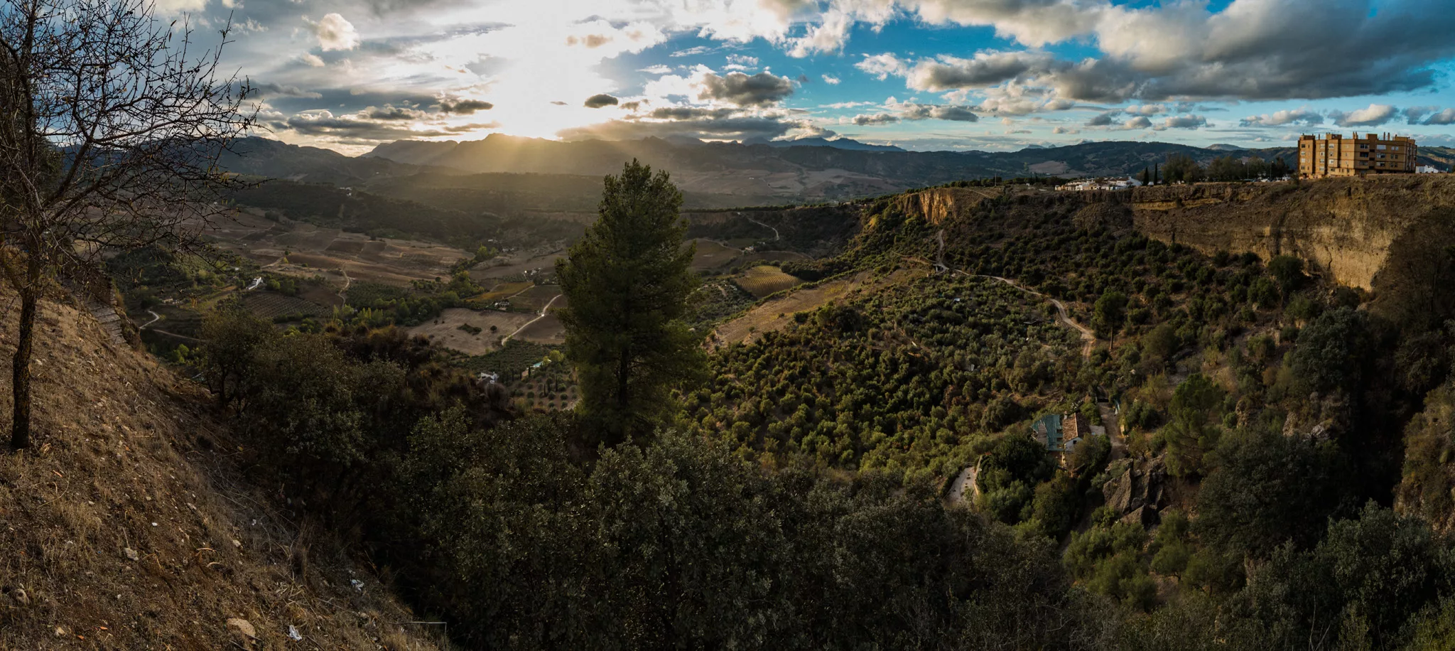
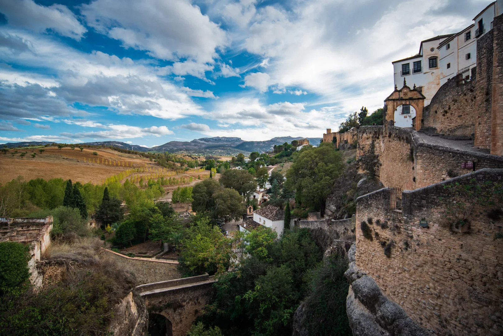
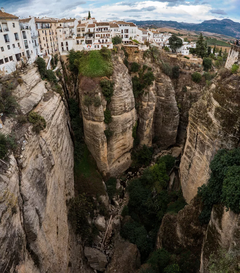
Ronda (36°44’38″ N 5°09’49″ W) is a city in Andalucia, that lies at a steep cliff with a canyon in the middle of a city with two bridges spanning across the canyon.

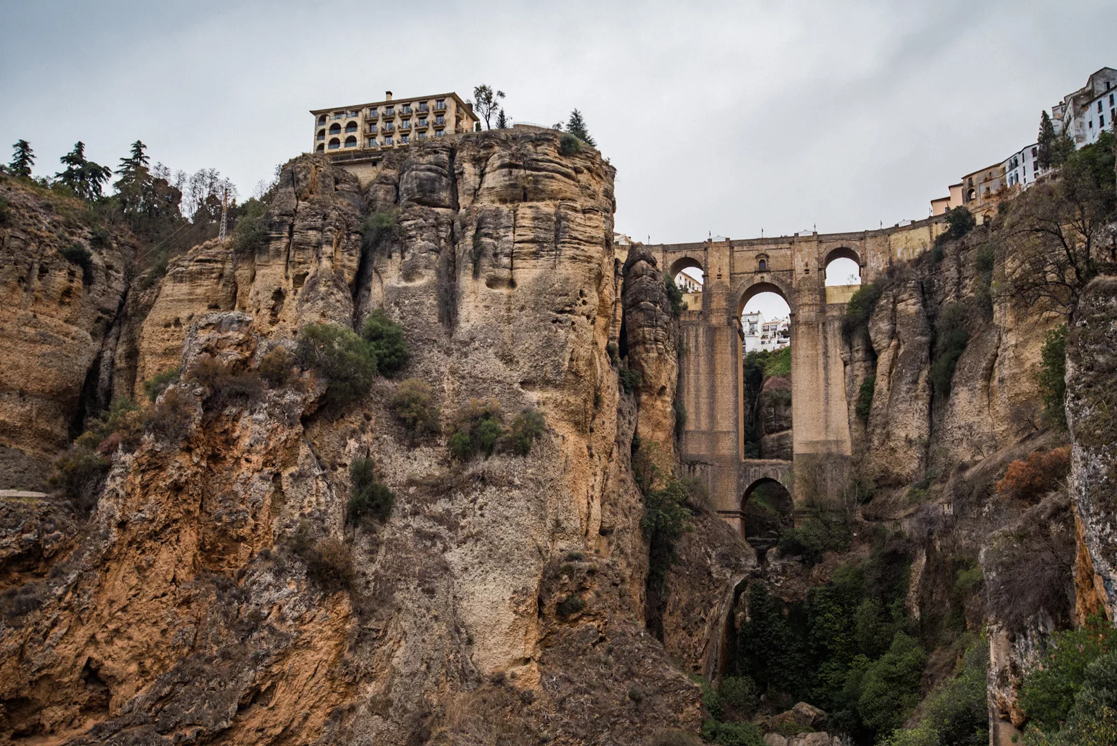
Cliff of Ronda and the new bridge connecting two parts of the city seen from a viewpoint (36°44’22″ N 5°10’06″ W).

New bridge.

Canyon seen from the new bridge.

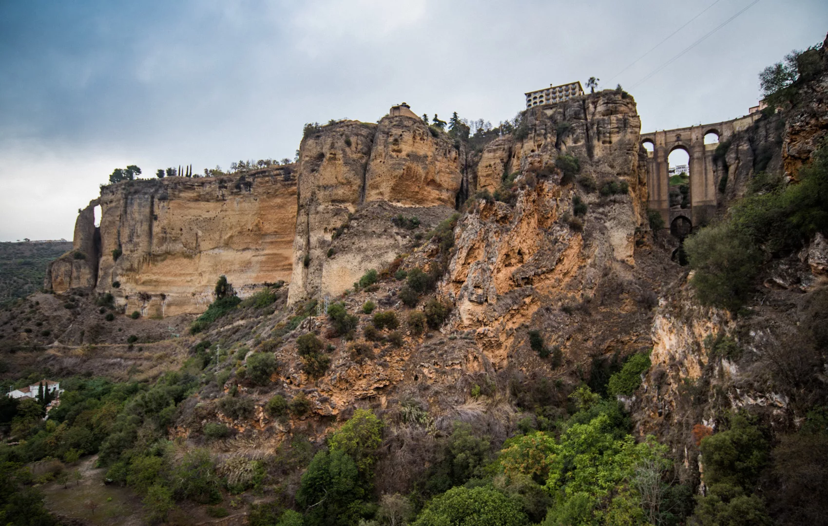
Cliff seen across the canyon, view on north.

View on western side of Ronda.

View from Mirador de Ronda (36°44’28″ N 5°10’05″ W).

View from Mirador Virgen Del Rocío (36°44’55″ N 5°10’10″ W) to the south, on western side of Ronda.

And to the west.

View from the old bridge (36°44’23″ N 5°09’48″ W) to the south, across eastern side of Ronda.

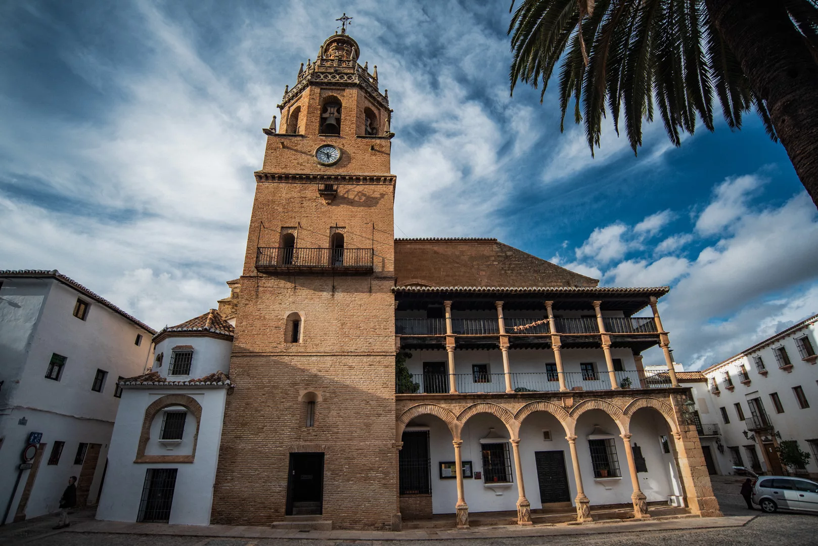
Iglesia de Santa Maria la Mayor (36°44’14″ N 5°09’55″ W).

View on the city from the church.

Travels

Granada

Granada (37°10’40″ N 3°35’46″ W) is a big city in Andalusia. The biggest attraction in Granada is Alhambra.

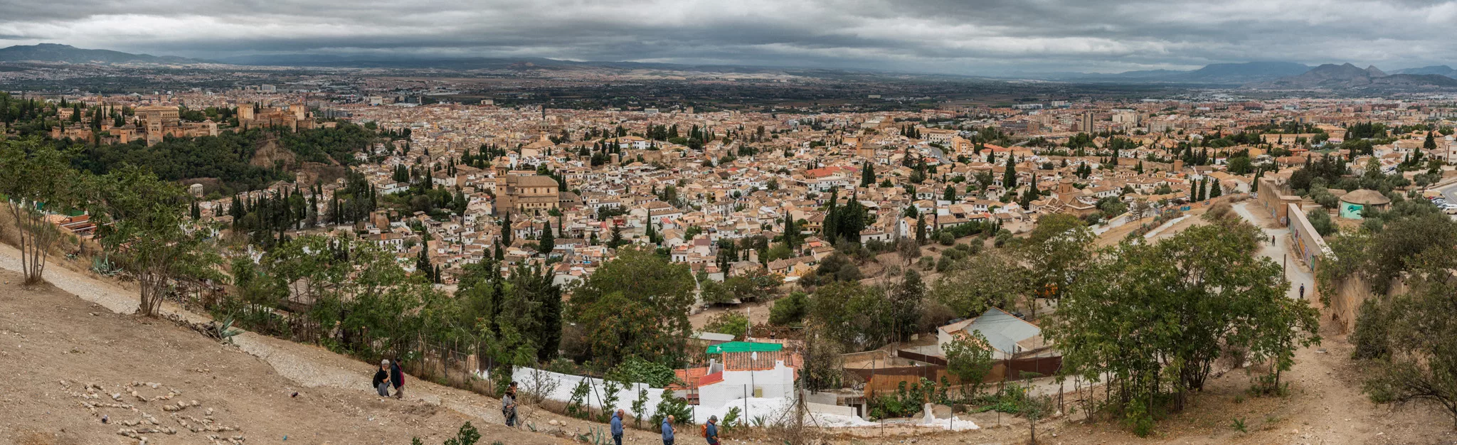
Granada seen from Mirador de San Miguel (37°11’05″ N 3°35’16″ W), view towards east, Alhambra can be seen on the left.

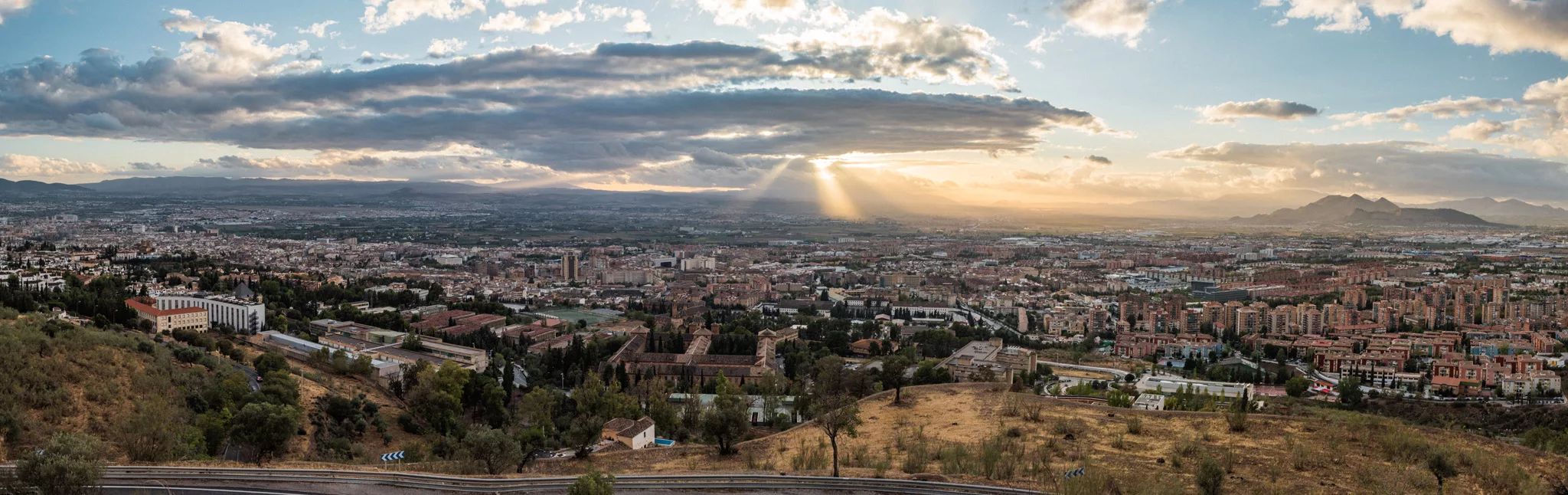
Granada seen from Monte del Sombrero (37°11’43″ N 3°35’28″ W), view towards south-east.

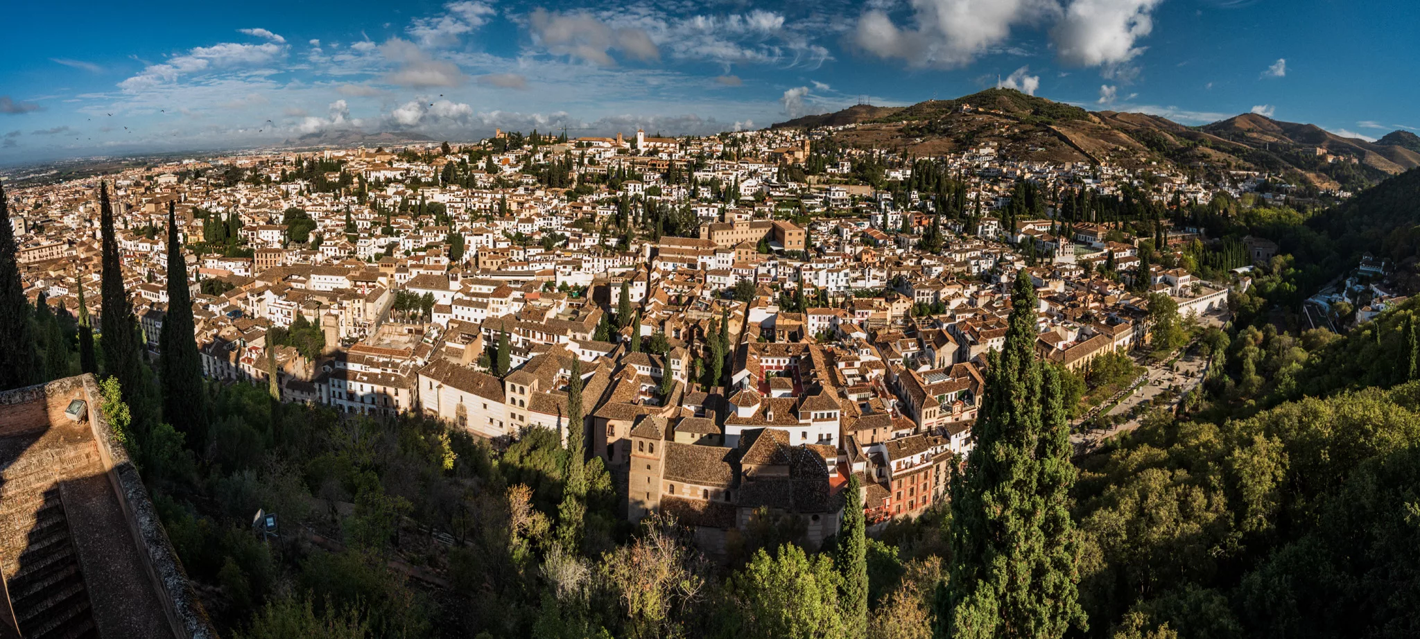
Granada seen from Alhambra, view towards north.

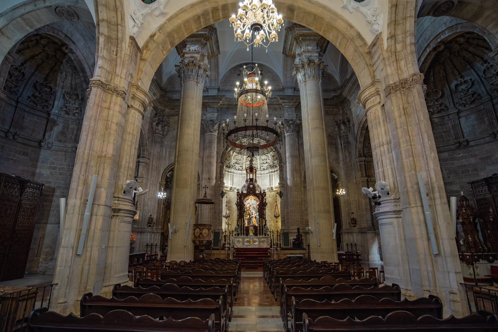
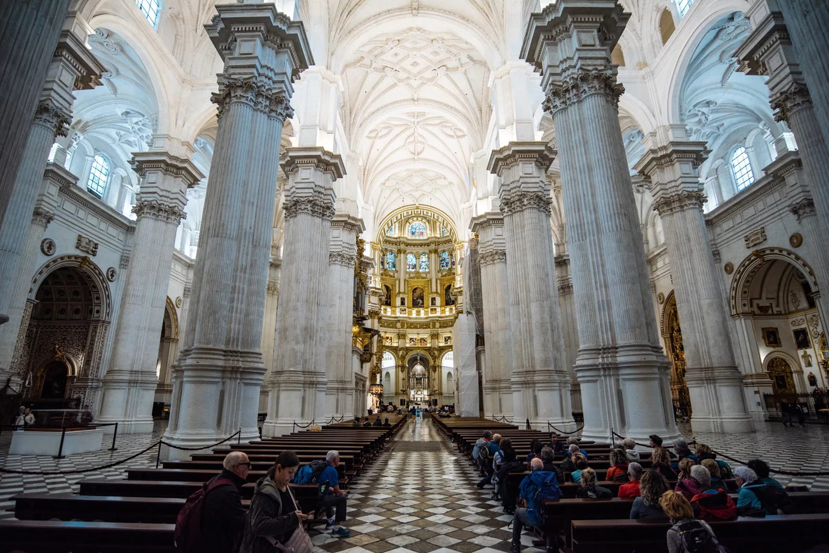
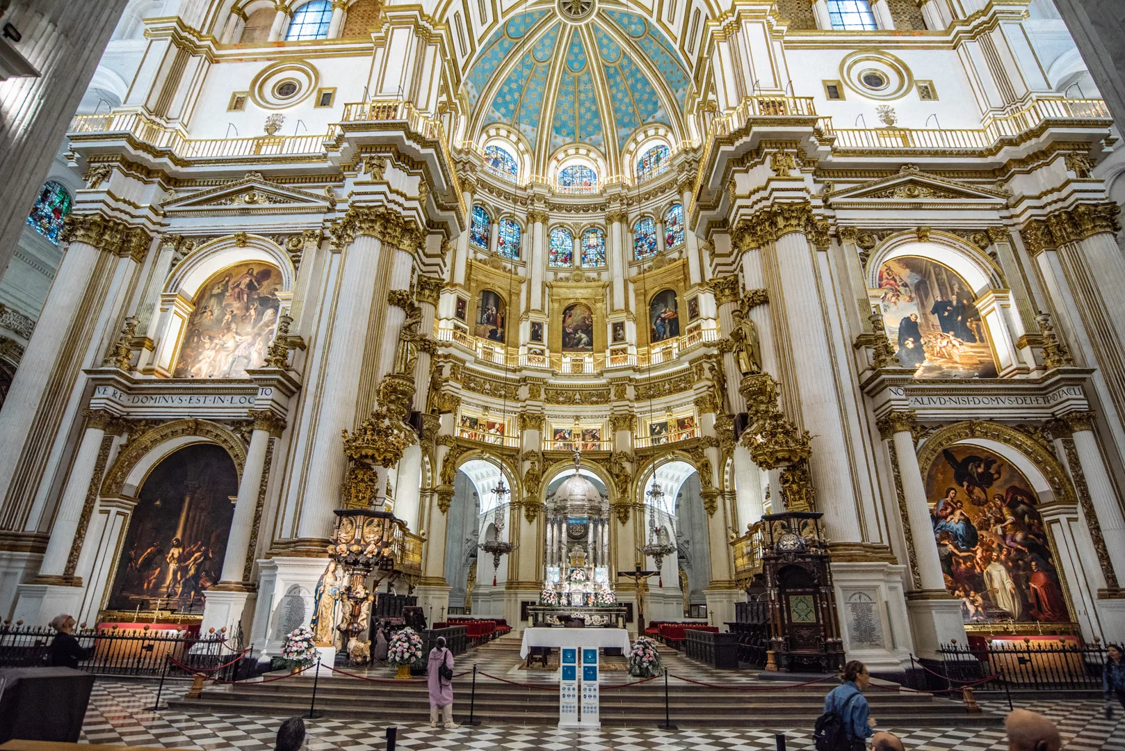
Granada Cathedral (37°10’35″ N 3°35’57″ W).

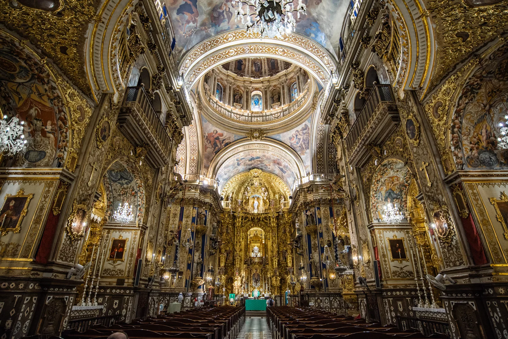
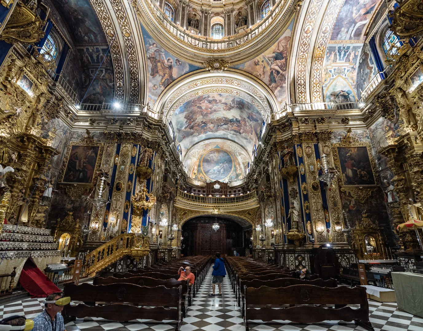
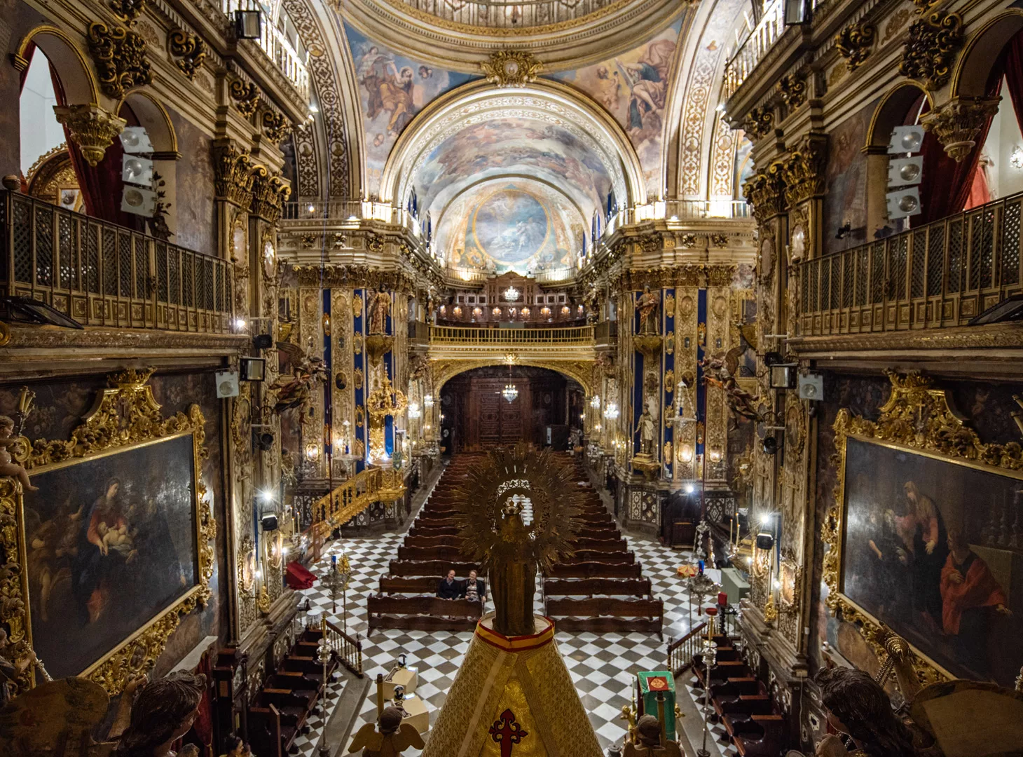
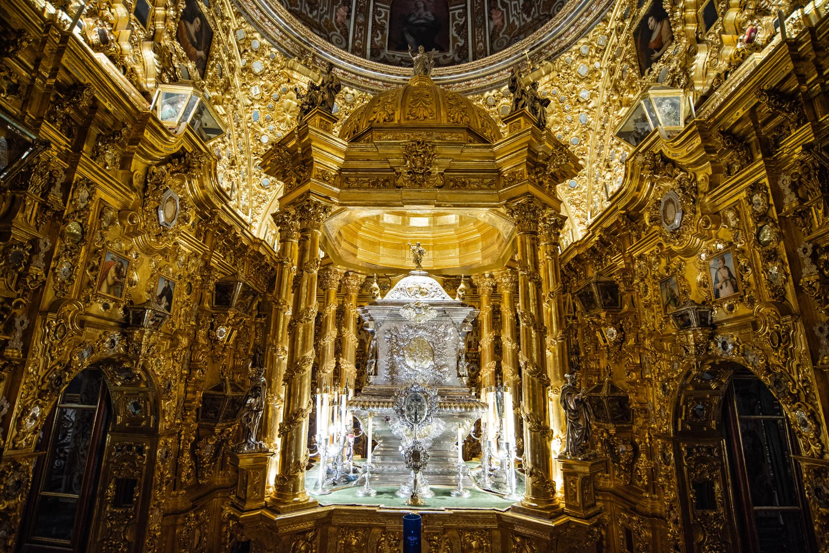
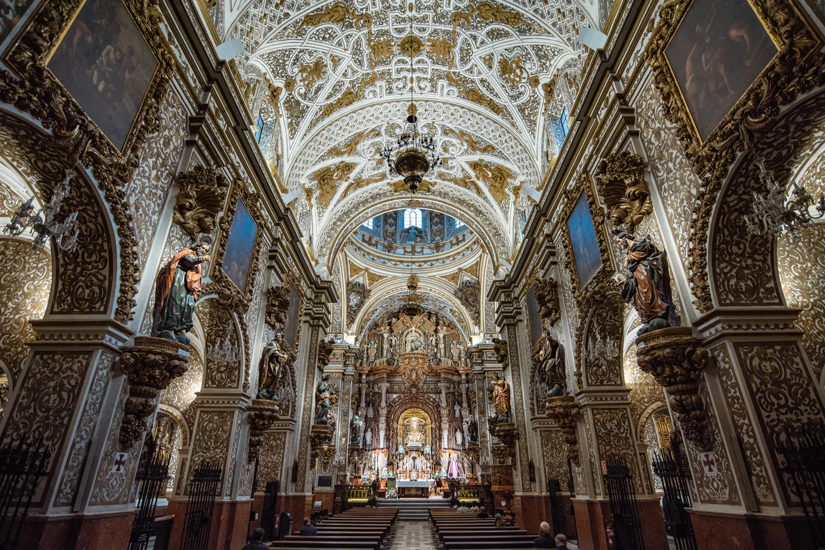
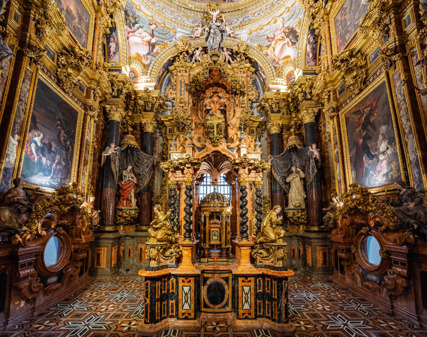
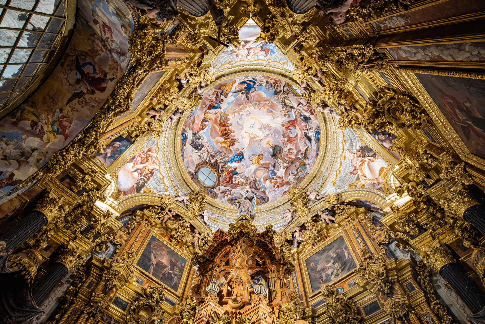
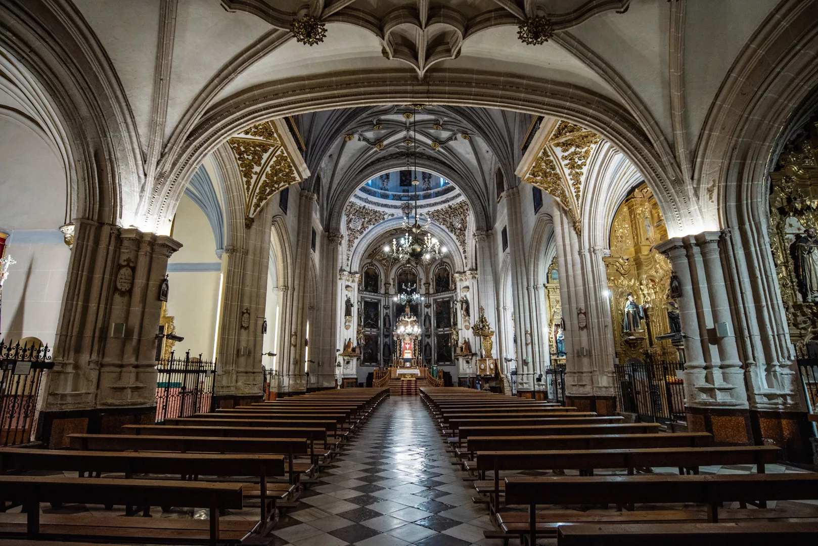
Basilica San Juan de Dios (37°10’50″ N 3°36’10″ W).

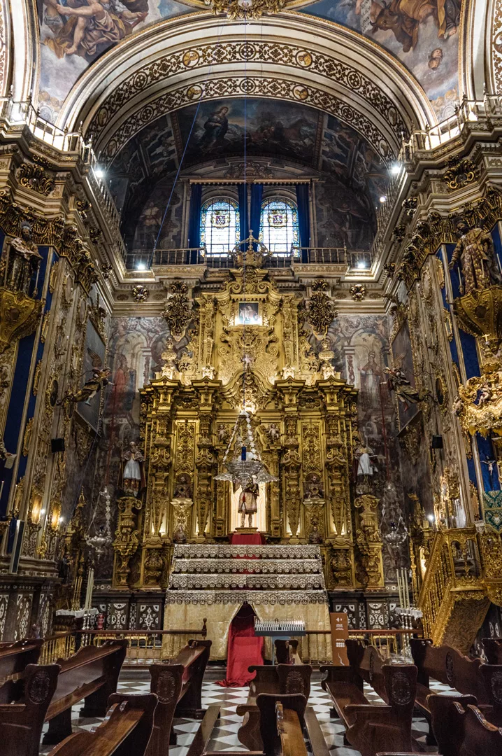
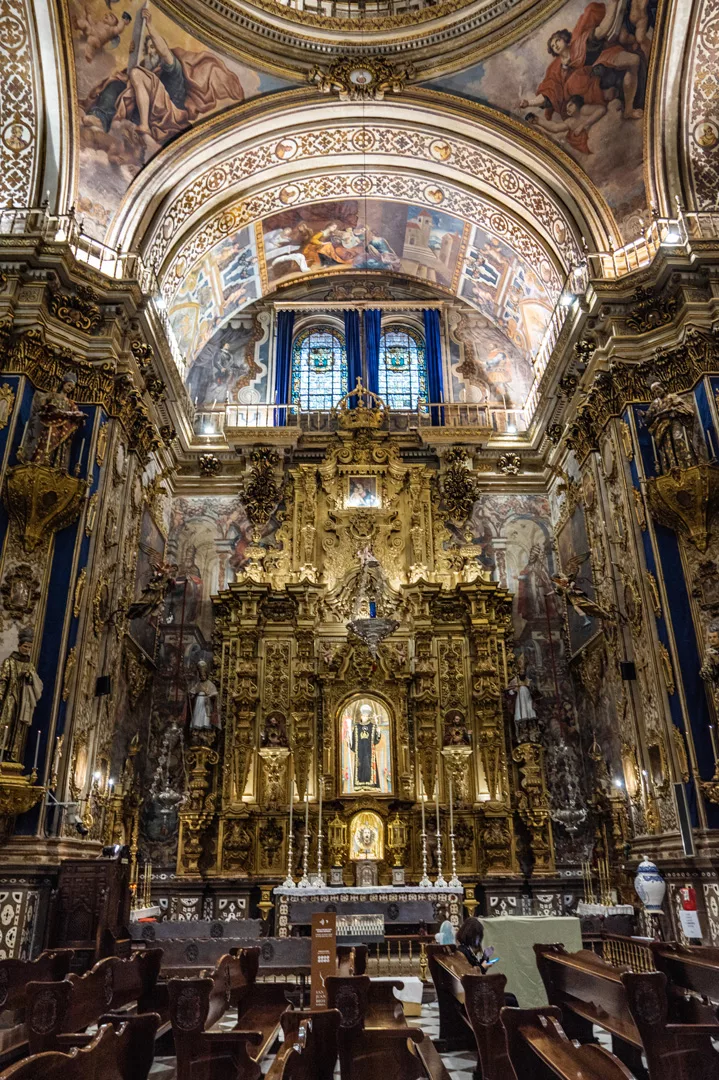
Basilica Nuestra Señora de Las Angustias (37°10’12″ N 3°35’49″ W).

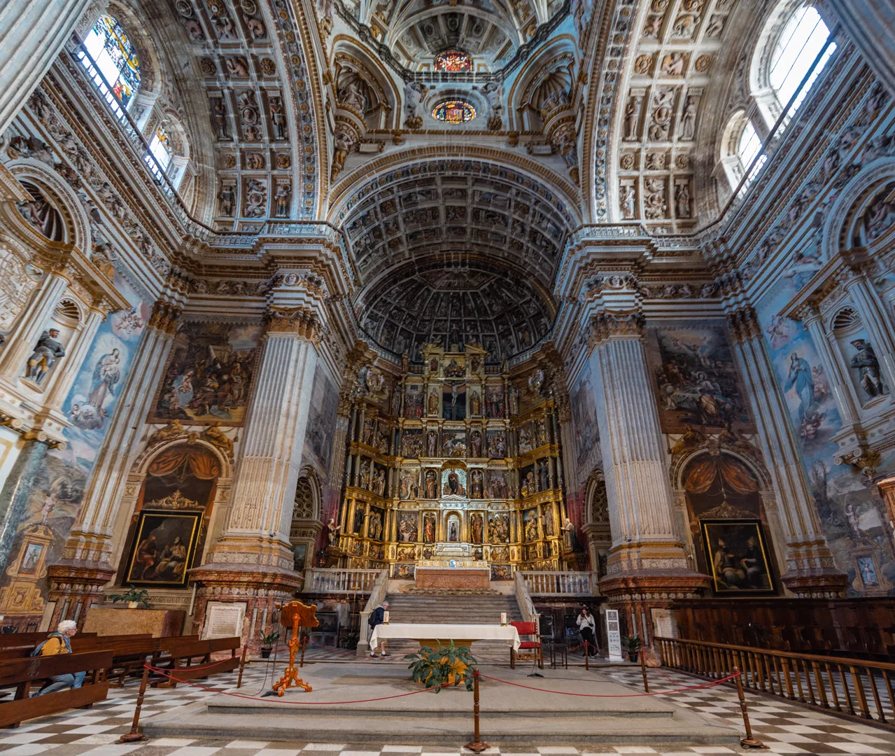
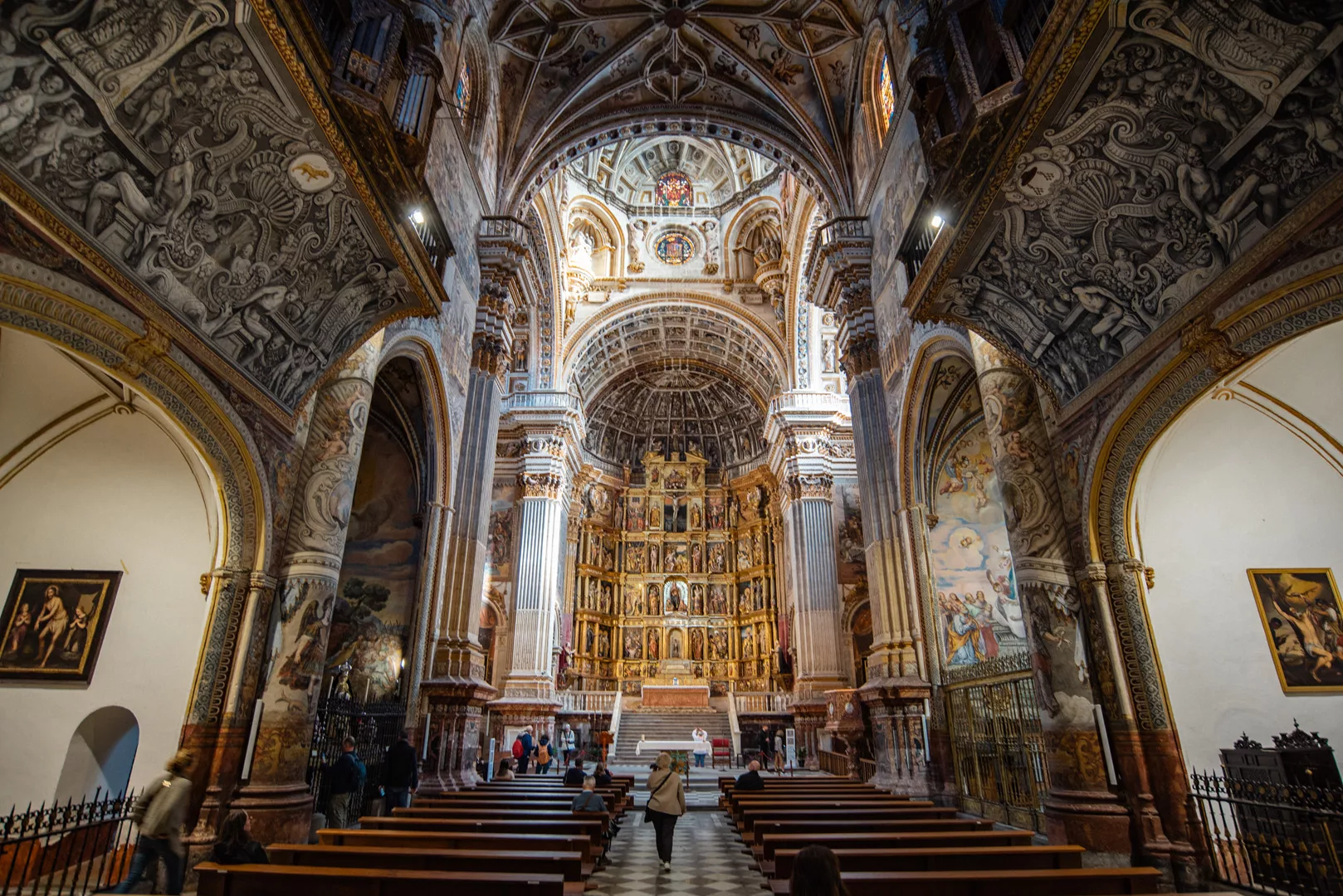
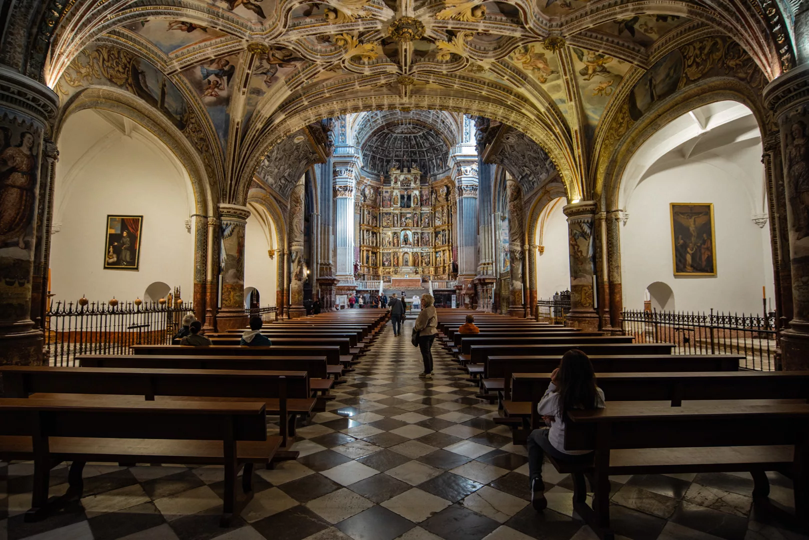
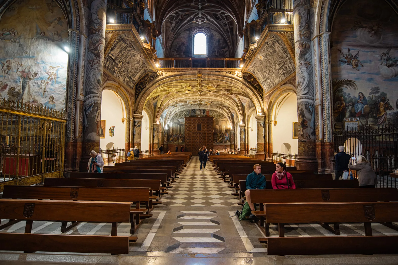
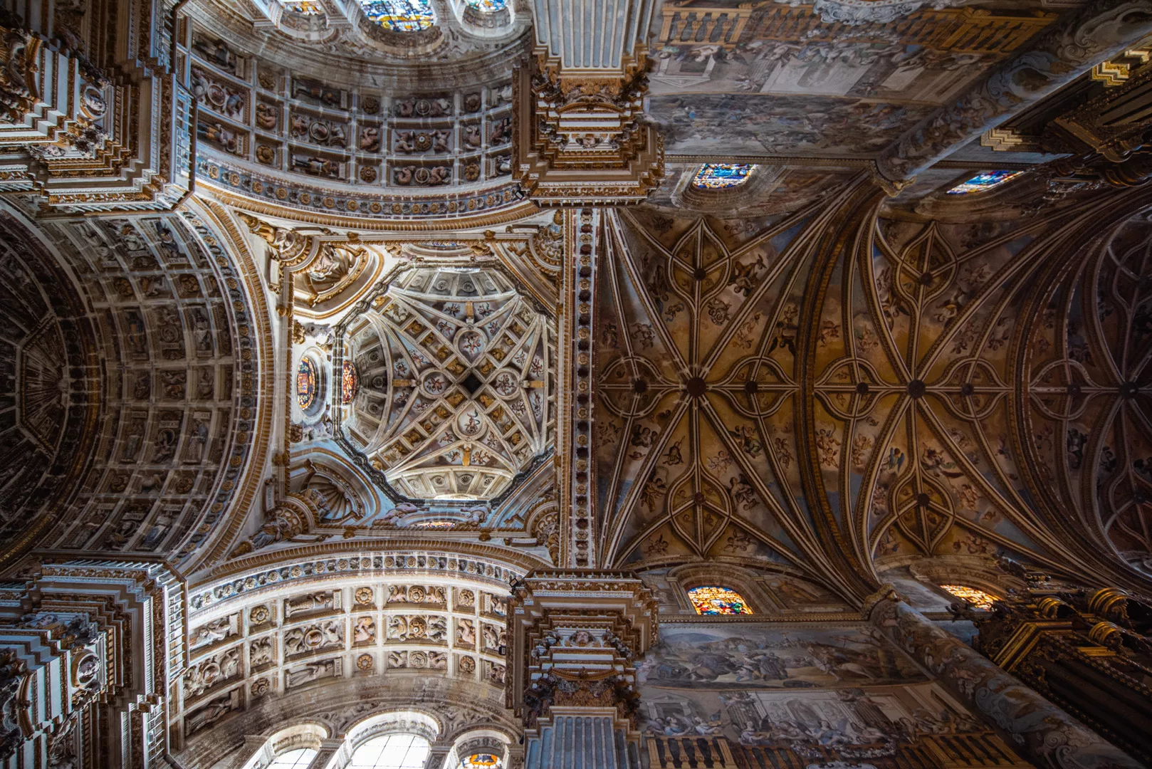
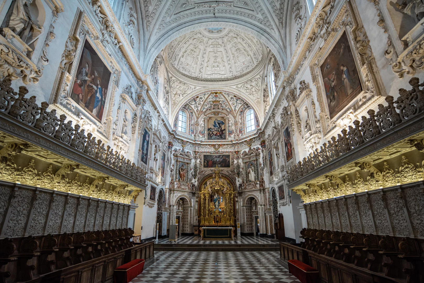
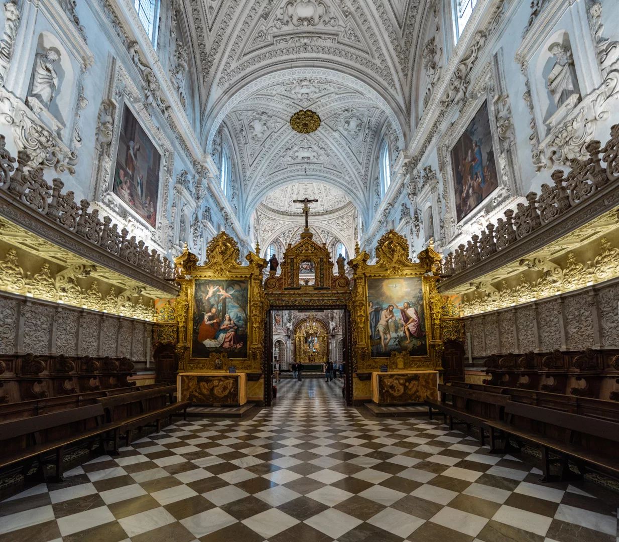
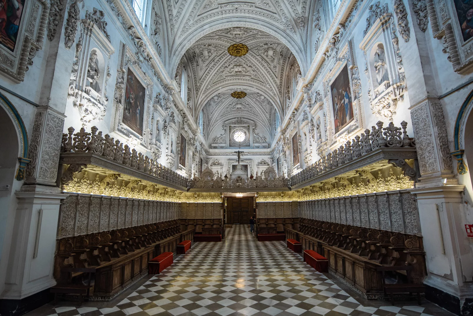
Monasterio San Jeronimo (37°10’45″ N 3°36’15″ W).

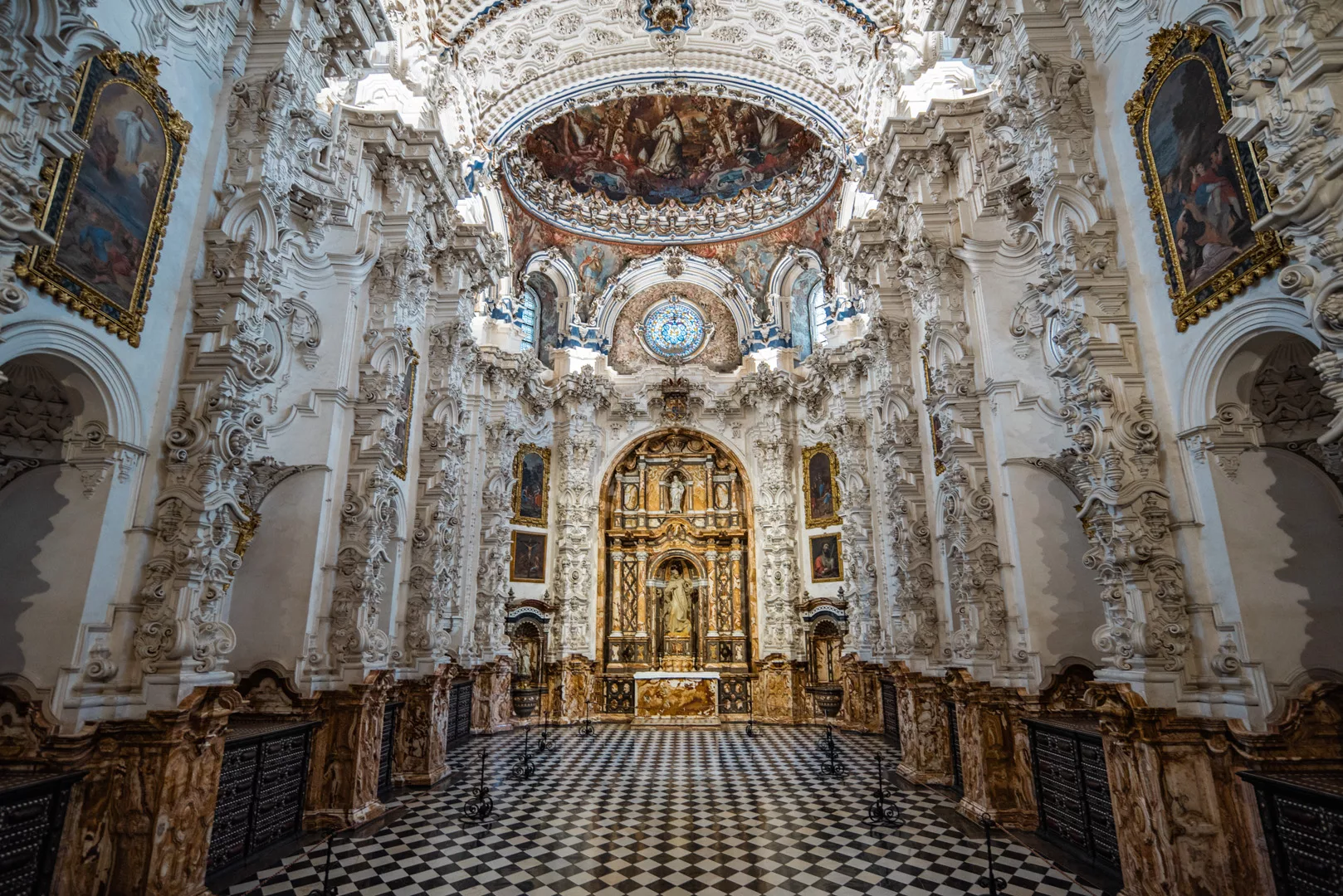
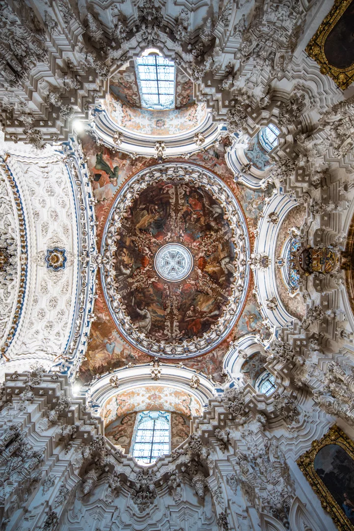
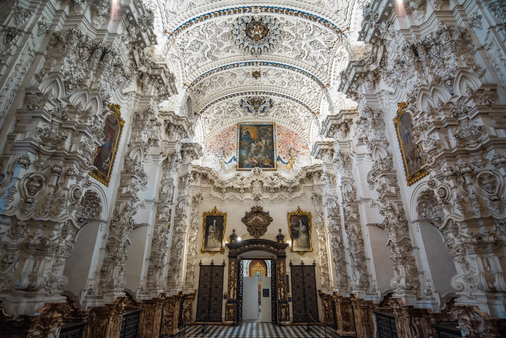
Monasterio de La Cartuja (37°11’31″ N 3°35’58″ W).

Iglesia de Santo Domingo (37°10’23″ N 3°35’41″ W).